I left Bismarck and headed to Mandan, passing Burning Desires Fireplaces, horses, and cone-type hills. It was 50°F and raining.
On the way to Fort Abraham Lincoln State Park, I was stopped in my tracks by a glowing scene of a creek running through a field with a rainbow overhead.
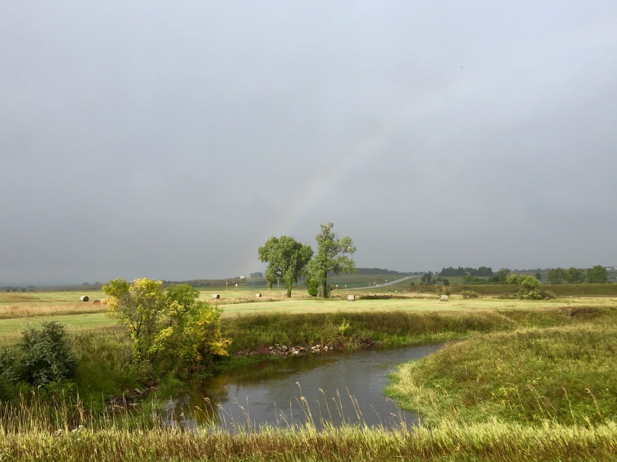
a rainbow near Fort Abraham Lincoln
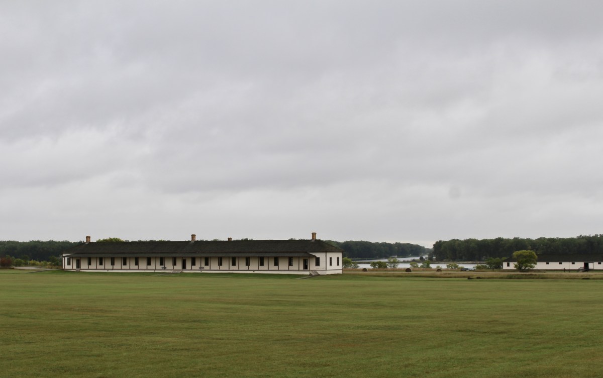
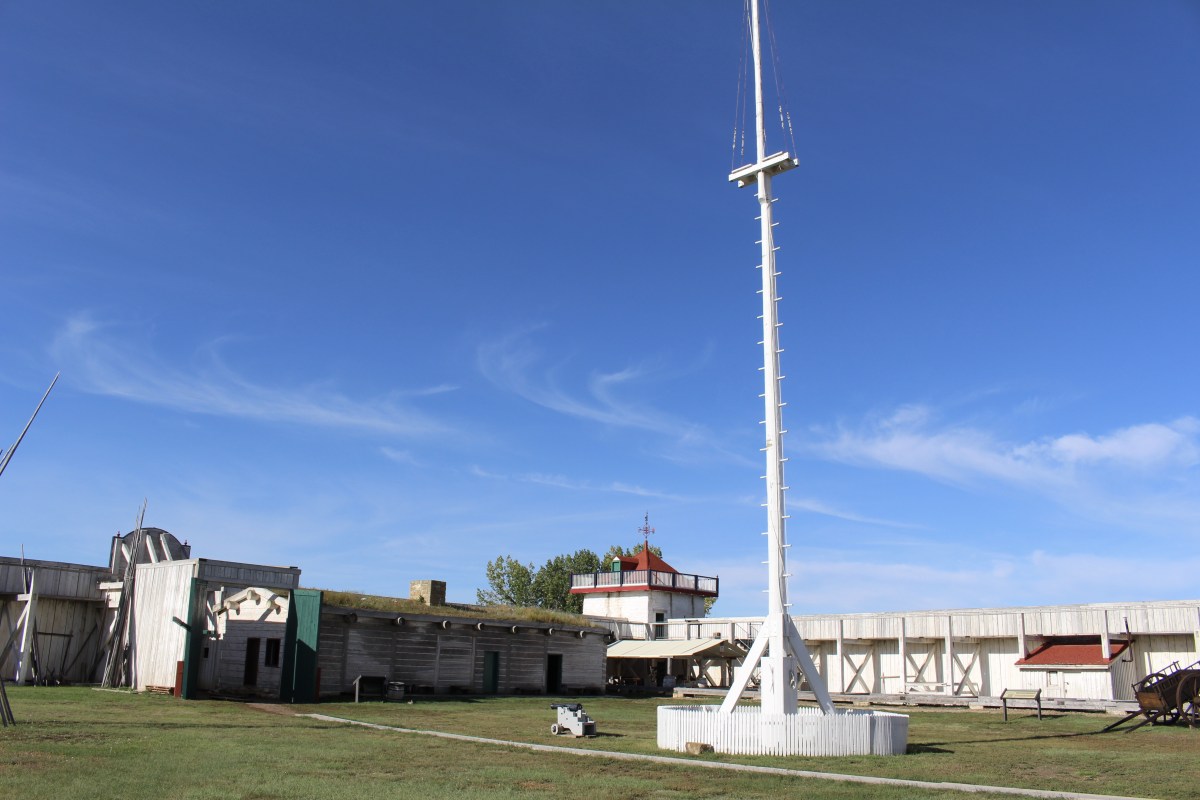
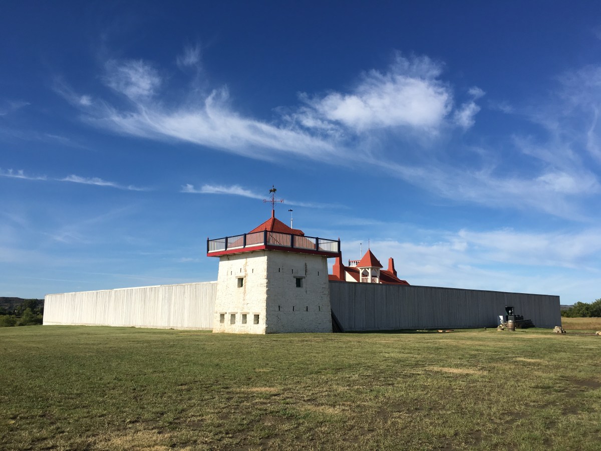
At Fort Abraham Lincoln State Park, I watched a film about the history of the Missouri River and all the people who lived along it. I looked around the museum at displays about the Indians who lived there and about George Armstrong Custer. The park is home to a number of historical sites including General Custer’s house and the On-A-Slant Mandan Indian Village.
The land here was dedicated to the state in 1907 by President Theodore Roosevelt. Park development started in 1934 by the Civilian Conservation Corps (CCC), who built the visitor center, earthlodges, blockhouses, shelters and roads, and placed cornerstones to mark buildings at the infantry and cavalry posts.

Fort Abraham Lincoln State Park
George Armstrong Custer was the commanding officer of Fort Abraham Lincoln from the fall of 1873 until he perished in the Battle of the Little Big Horn in 1876.
Many events led up to the Battle of the Little Big Horn. The presence of the white men in the Black Hills, caused by the Black Hills Expedition, was one major factor. Also, Sioux Indians had been leaving their reservation to raid small settlements and farms. In 1875, the Interior Department ordered all Indians to report to reservations by January 31, 1876. By February 1, many Indians had not reported and the Interior Department turned the problem over to the military. On February 7, orders were given to commend military action against the hostile Sioux.
The Battle of the Little Bighorn, commonly referred to as Custer’s Last Stand, was an armed engagement between combined forces of the Lakota, Northern Cheyenne, and Arapaho tribes and the 7th Cavalry Regiment of the United States Army. The battle, which resulted in the defeat of U.S. forces, was the most significant action of the Great Sioux War of 1876. It took place on June 25–26, 1876, along the Little Bighorn River in the Crow Indian Reservation in southeastern Montana Territory.
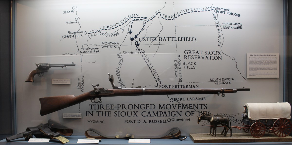
Three-pronged movements in the Sioux campaign of 1876
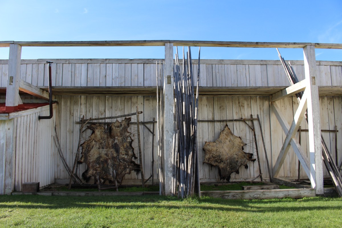
For both officers and enlisted men, and their families, life on a frontier post was both demanding and full of hardships.
The Indian War soldiers were all volunteers. Few men were educated, and most were illiterate. Immigrants made up a large number of the recruits. Soldiers joined for a variety of reasons: to learn to speak English, to escape from the law or their wives, or to seek adventure.
The mainstays of the enlisted man’s menu were hash, stew, baked beans, hard tack, salt bacon, green coffee, coarse bread, beef, and sometimes brown sugar, salt, vinegar, or molasses. Scurvy was a common disease due to the lack of fresh fruits or vegetables.
An officer’s life was a little easier than an enlisted man’s life, but they both shared feelings of isolation and boredom. Much of an officer’s day was occupied by conducting drills, directing work details and construction projects, and day-to-day administrative work. Sometimes the men organized activities such as dances and plays put on by the soldiers themselves, or by attending musical performances put on by the post band. Much time was spent drinking and gambling, and the post trader’s store was a main source of recreation. Unfortunately, results of the boredom often led some soldiers to alcoholism and desertion.
During most of the Indian Wars, the basic enlisted man’s salary was $13.00 per month. This low rate of pay was one major cause of a high desertion rate.
During the summer months, favorite forms of recreation for the soldiers were baseball and horseback riding. Card games and billiards were also favorite pastimes.

statue for Civilian Conservation Corps

Major General George Armstrong Custer

Holster and Belt

The Frontier Soldier’s Free Time

soldiers at Fort Abraham Lincoln
Indian scouts were an important part of frontier military campaigns. The scout was enlisted for his knowledge of the territory and his ability to communicate with members of the other tribes. Military scouts were also helpful in training new recruits in frontier survival and in tactics and techniques for combat.
Scattered Corn (1854-1940) was the first female Corn Priest of the Mandan tribe. At the age of 12, she learned the secrets and details in the art of building an earthlodge. By the age of 18, she built a total of four earthlodges for her own use. In 1934, with the assistance of the Civilian Conservation Corps, she designed and reconstructed five earthlodges at Abraham Lincoln State Park.
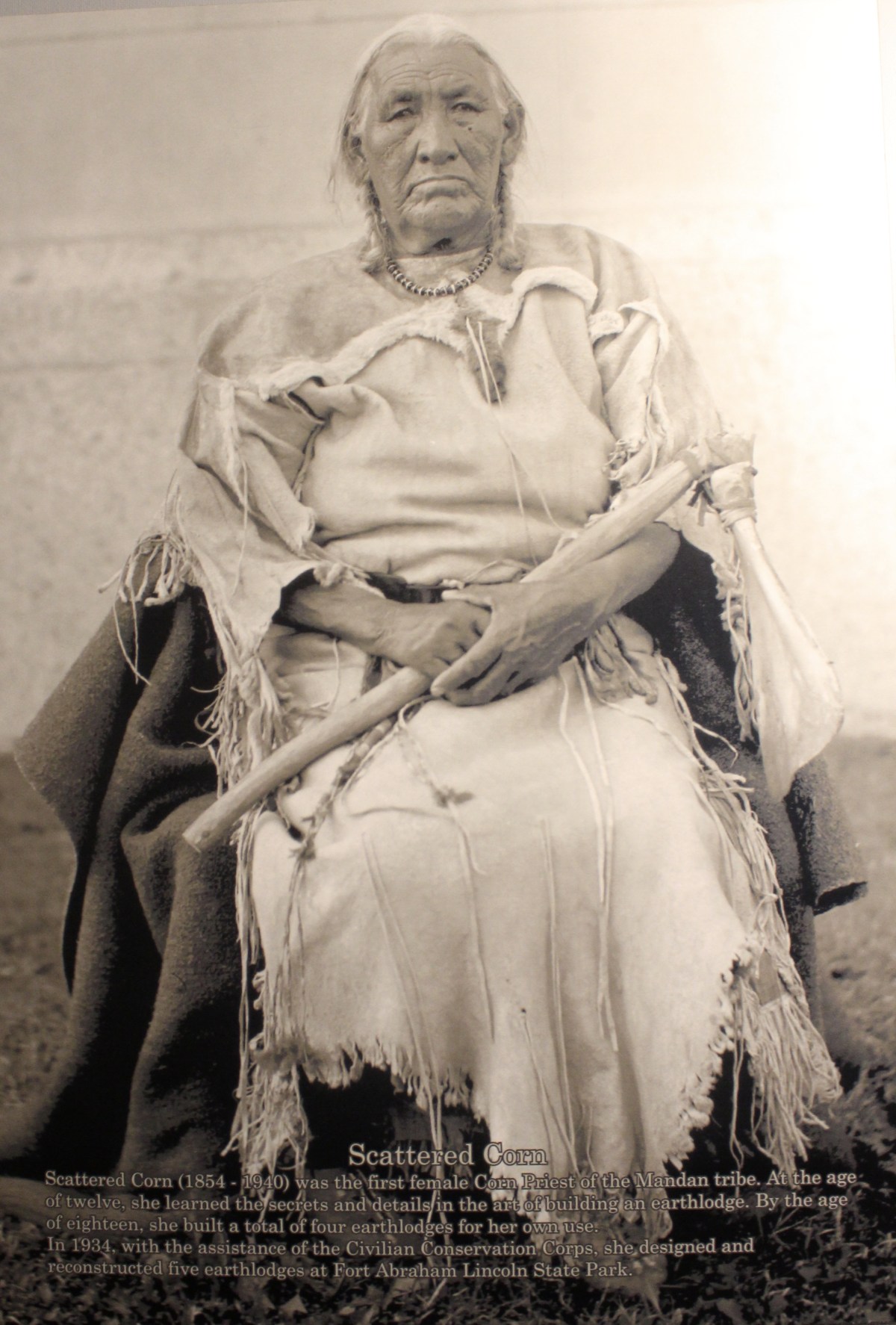
Scattered Corn
During the six years following the Battle of the Little Big Horn, the Fort continued its mission to protect transportation routes and railroad construction crews, as well as government property.
Upon completion of the railroad to the Montana line, Fort Abraham Lincoln fulfilled its purpose. Consequently, the fort gradually declined in importance.
In 1882, the 7th Cavalry headquarters were transferred to Fort Meade, now in South Dakota. The army abandoned Fort Abraham Lincoln in 1891.
******
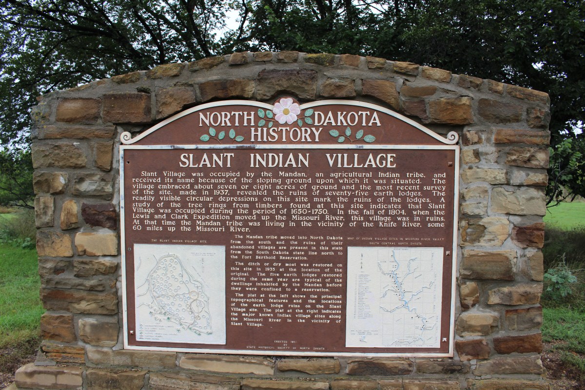
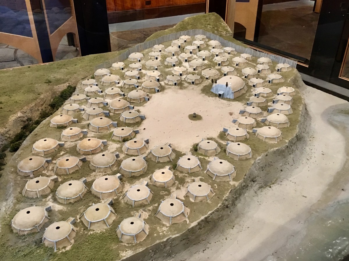
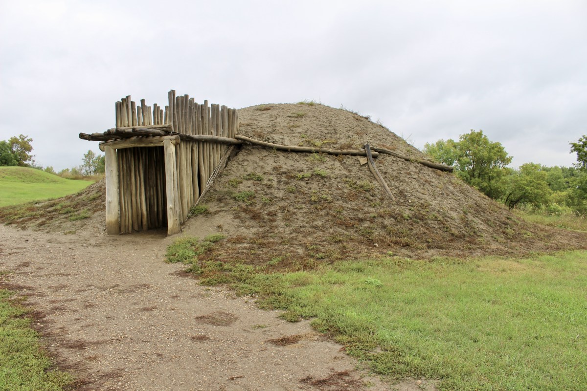
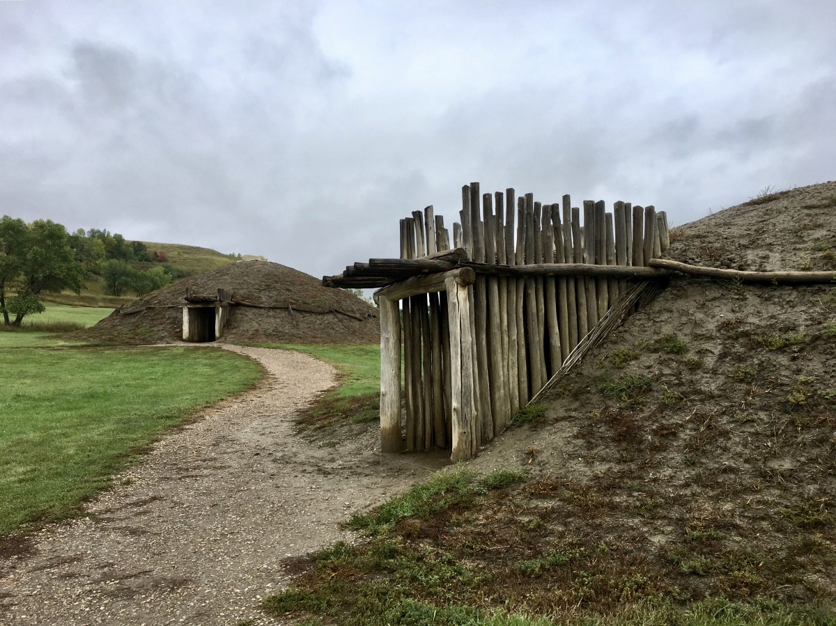
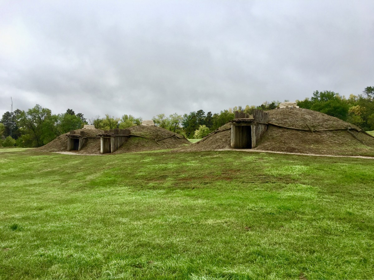
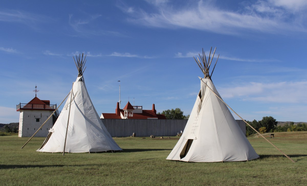
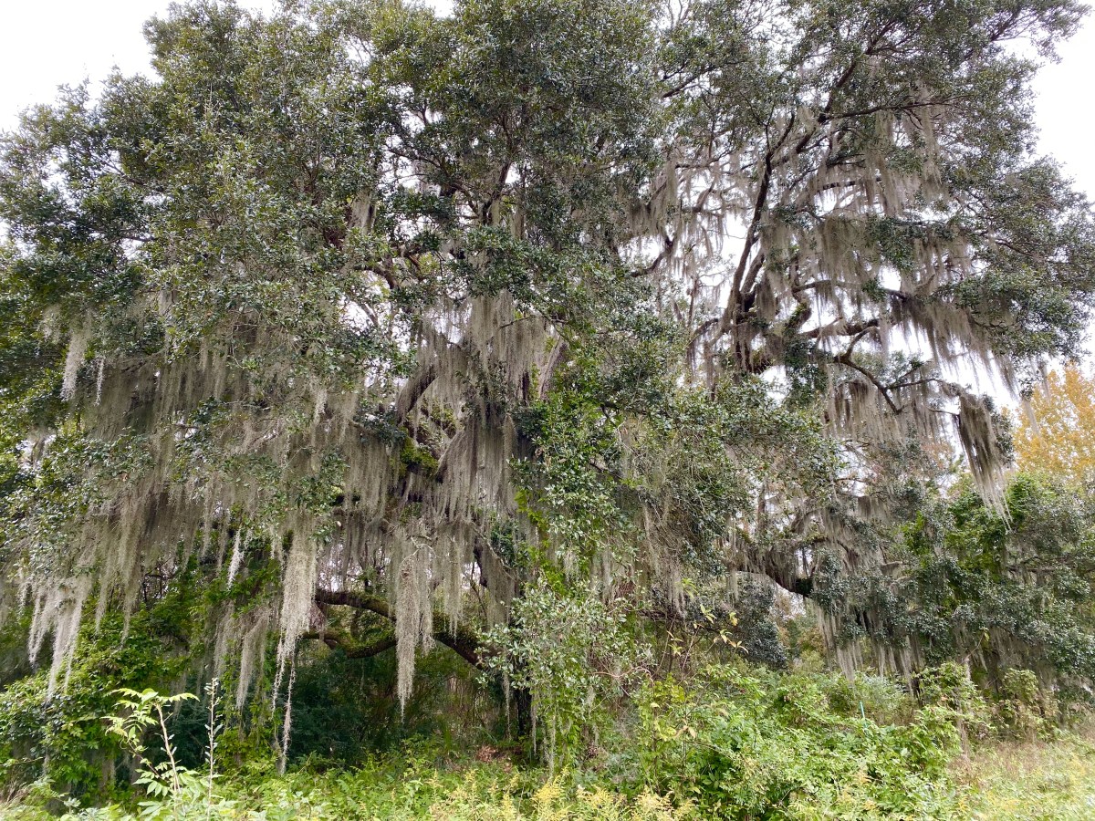
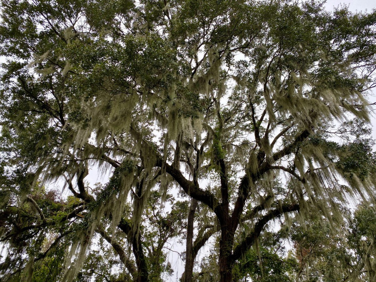
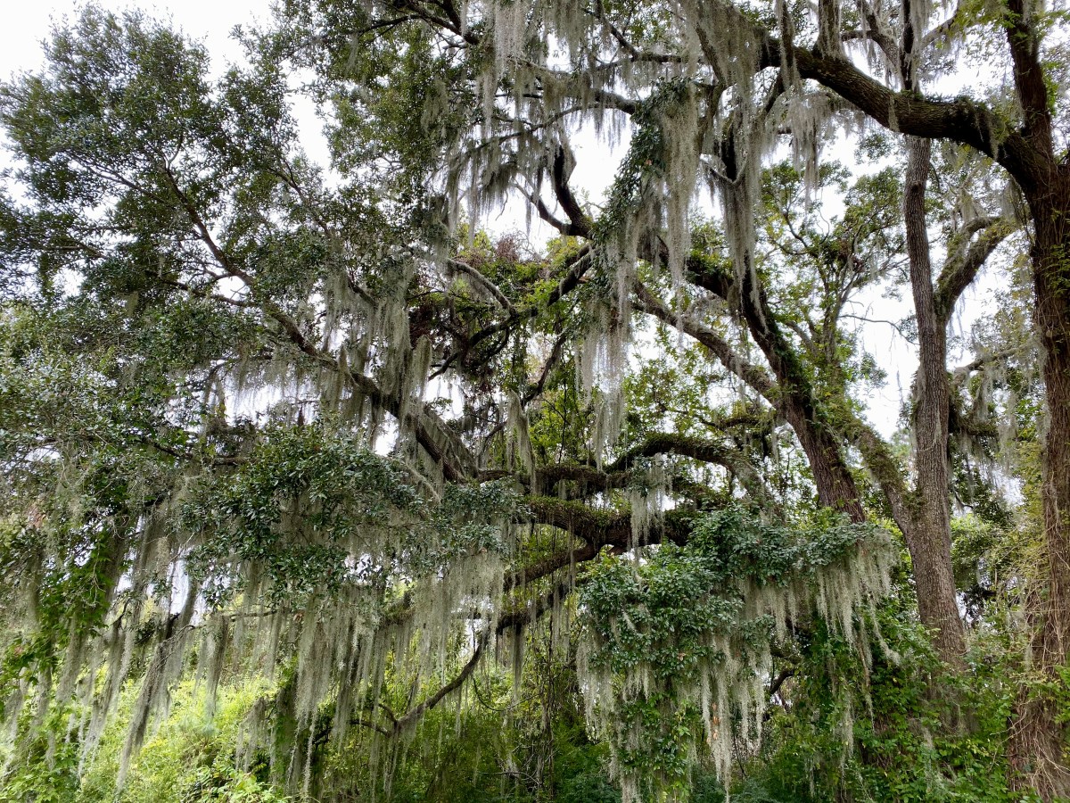
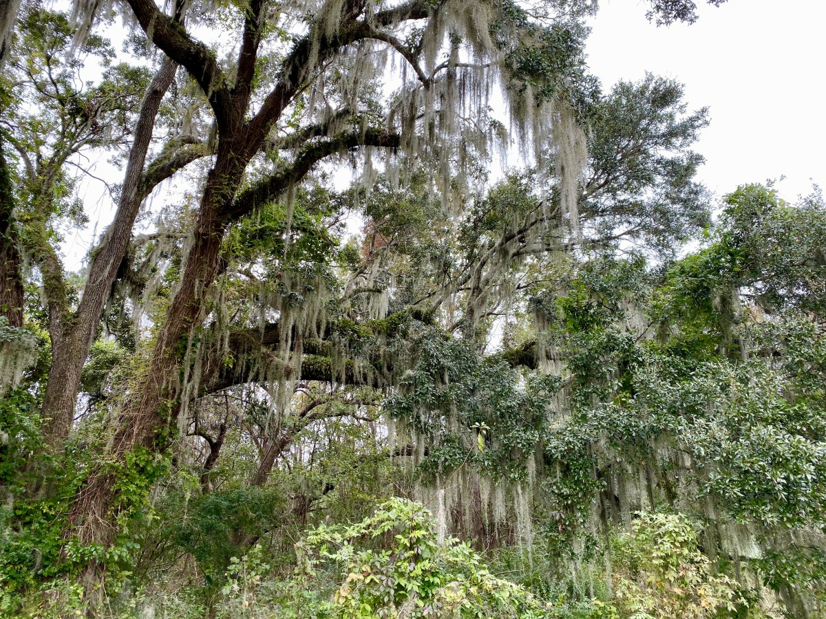
The Mandan Indians, an agricultural Indian tribe, settled On-a-Slant Village from 1575-1781 with a population once as high as 15,000. It received its name because of the sloping ground upon which it was situated. The Indians farmed miles of Missouri River bottomland from 10-12 fortified cities here on the Slant River. The villages were empty and wiped out by smallpox by the time Lewis and Clark visited.
On-a-Slant Village
At the pinnacle of their wealth and power, the Mandans built cozy round earth lodges like the ones at Knife River. On-a-Slant Village shows traces of 75 lodges, including a large ceremonial lodge that is 84 feet in diameter.
Inside the walls of On-a-Slant Village, approximately 85 extended family earthlodges were constructed. It appears that each of them was round, with the exception of one large public building, the Tixopinic, or Medicine Lodge, which was a D-shaped lodge. Major religious and social events were held in the Tixopinic.
In the center of the central plaza was the Mini-midi-douxx, generally known as the Ark of the Lone Man. This shrine commemorated the protection Lone Man offered the Mandan during a Great Flood that covered the earth. The Mini-midi-douxx was the center of public religious events, like the O-kee-pa.
From earliest times, the Mandan protected their villages from attack by construction of defensive fortifications, usually wide ditches backed with palisade walls made of cottonwood and other timbers.
On-a-Slant Village
The Mandan were known as peaceful people who were brave when attacked. In other words, their reputation was that they didn’t look for trouble, but they knew what to do when trouble came. Almost every man over 15 was a warrior until he was too old to fight.
The village was alive with activity: women bringing produce from the garden, men watching the women work and maybe planning a fall buffalo hunt, children playing in the streets.

Indian dance
Mandan cities paid attention to public sanitation, and they were kept fairly clean. Garbage was organic and biodegradable. It was placed in midden piles which, when placed near the village walls, may have served a dual purpose as ramparts to raise defenders against any attackers.
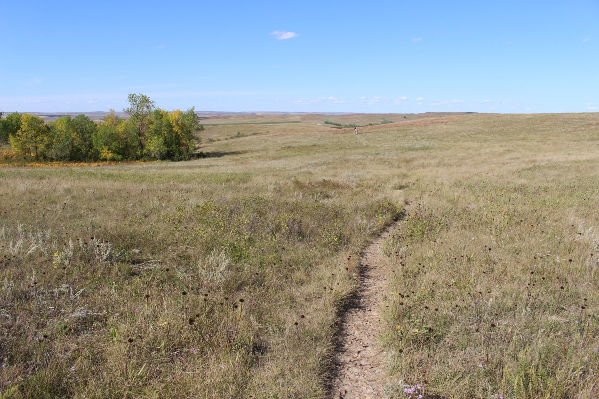
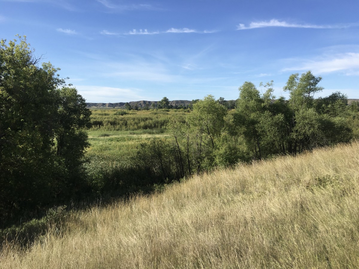
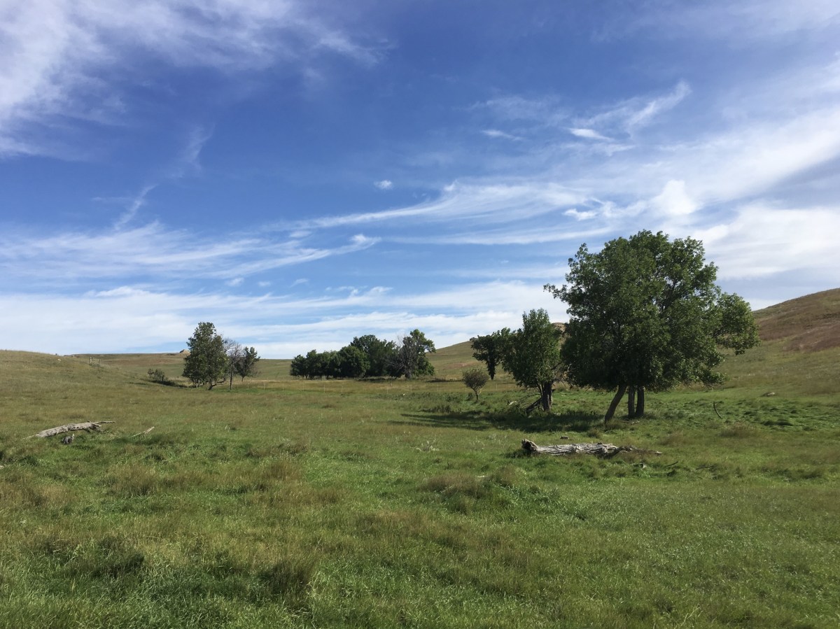
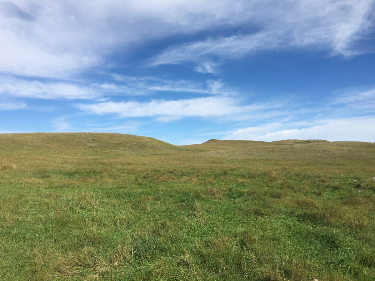
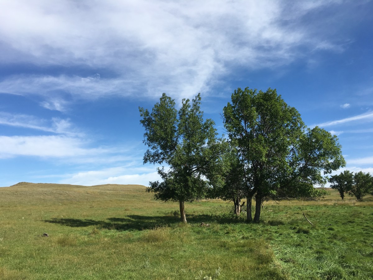
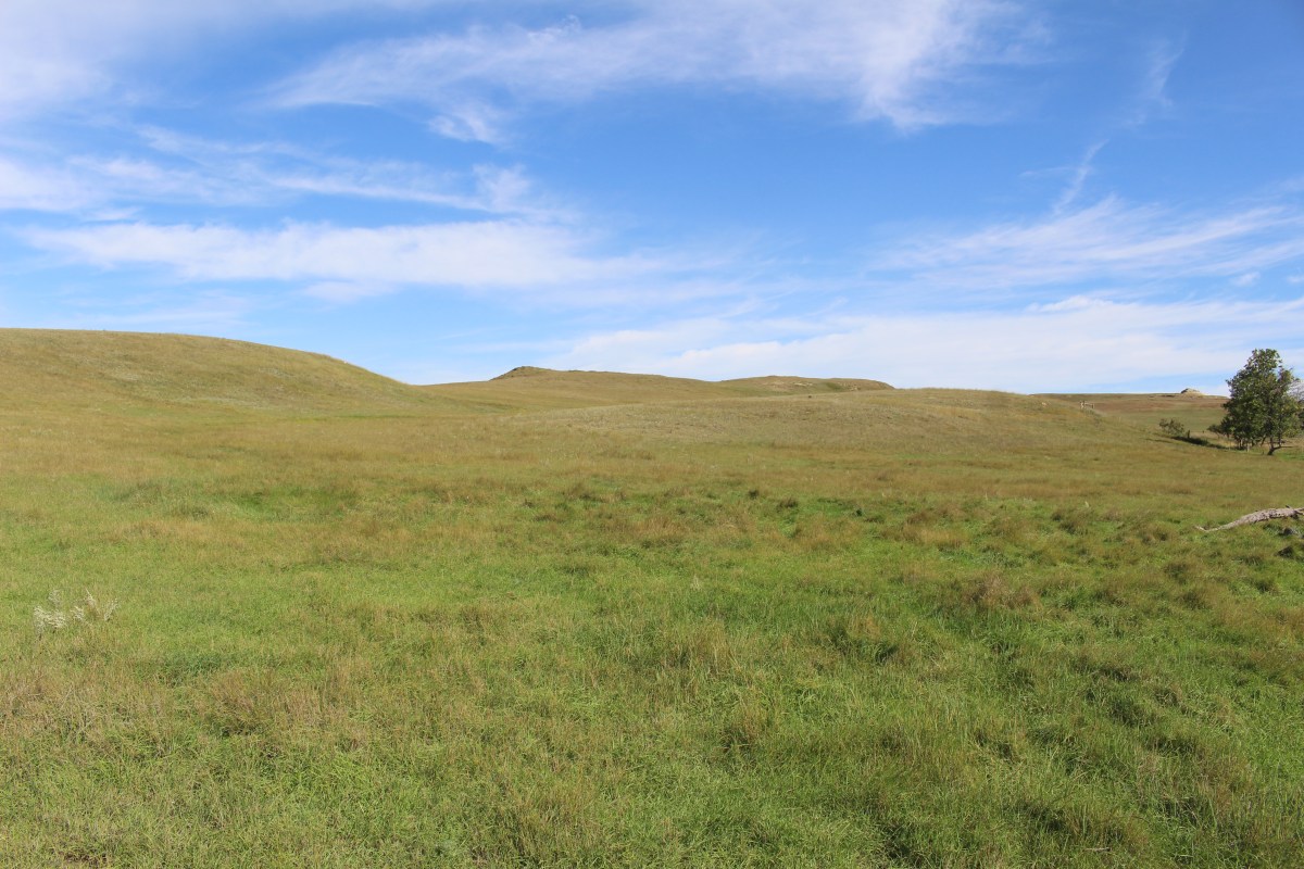
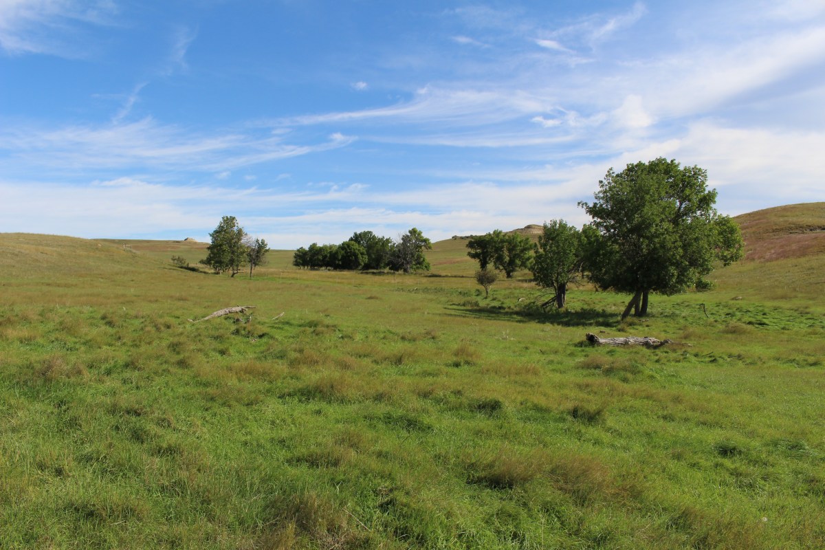
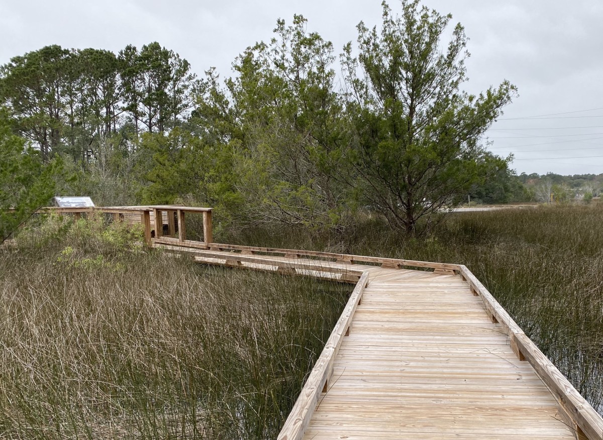
The predominant makeup of the park is mixed grass prairie. The floodplain forest and upland woody draws and shrublands also make up the park.
In 1781, a smallpox epidemic spread to every Native nation in the heart of America. They all suffered greatly, but none so severely as the earthlodge people. Their population of 10,000 to 15,000 was reduced to a couple thousand people. Four of every five Mandan died in 1781. The survivors left their centuries-old villages like On-a-Slant and moved north, settling Mitutanka near the Hidatsa by the Knife River.

On-a-Slant Village

On-a-Slant Village
On-a-Slant Village
On-a-Slant Village

On-a-Slant Village
On-a-Slant Village

On-a-Slant Village

On-a-Slant Village

On-a-Slant Village

On-a-Slant Village

On-a-Slant Village

On-a-Slant Village
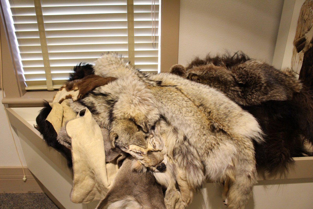
Every part of the Buffalo was used by Native Americans: bone, organs and hide.
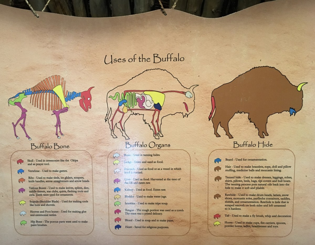
Uses of the buffalo
On October 26, 1804, Sheheke-shote (born ~1766), Civil Chief of the Mandan, welcomed Meriwether Lewis to Mitutanka. Six days later, he told Lewis and William Clark that the Mandan (Nu’eta) would agree to make peace with the Arikara, and guaranteed that the Americans would have food throughout the coming winter. “If we eat, you shall eat, if we starve, you must starve also,” he said.
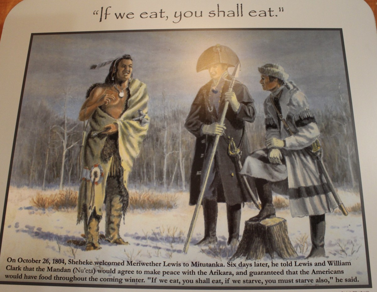
“If we eat, you shall eat.”
Through the winter of 1804-05, Sheheke helped his American neighbors, who called him Big White. He took them on their first buffalo hunt, brought them meat and corn, helped William Clark make a map of the Yellowstone River, entertained them in his village, and even marched Lewis and 20 soldiers in pursuit of more than 100 mounted Sioux warriors.
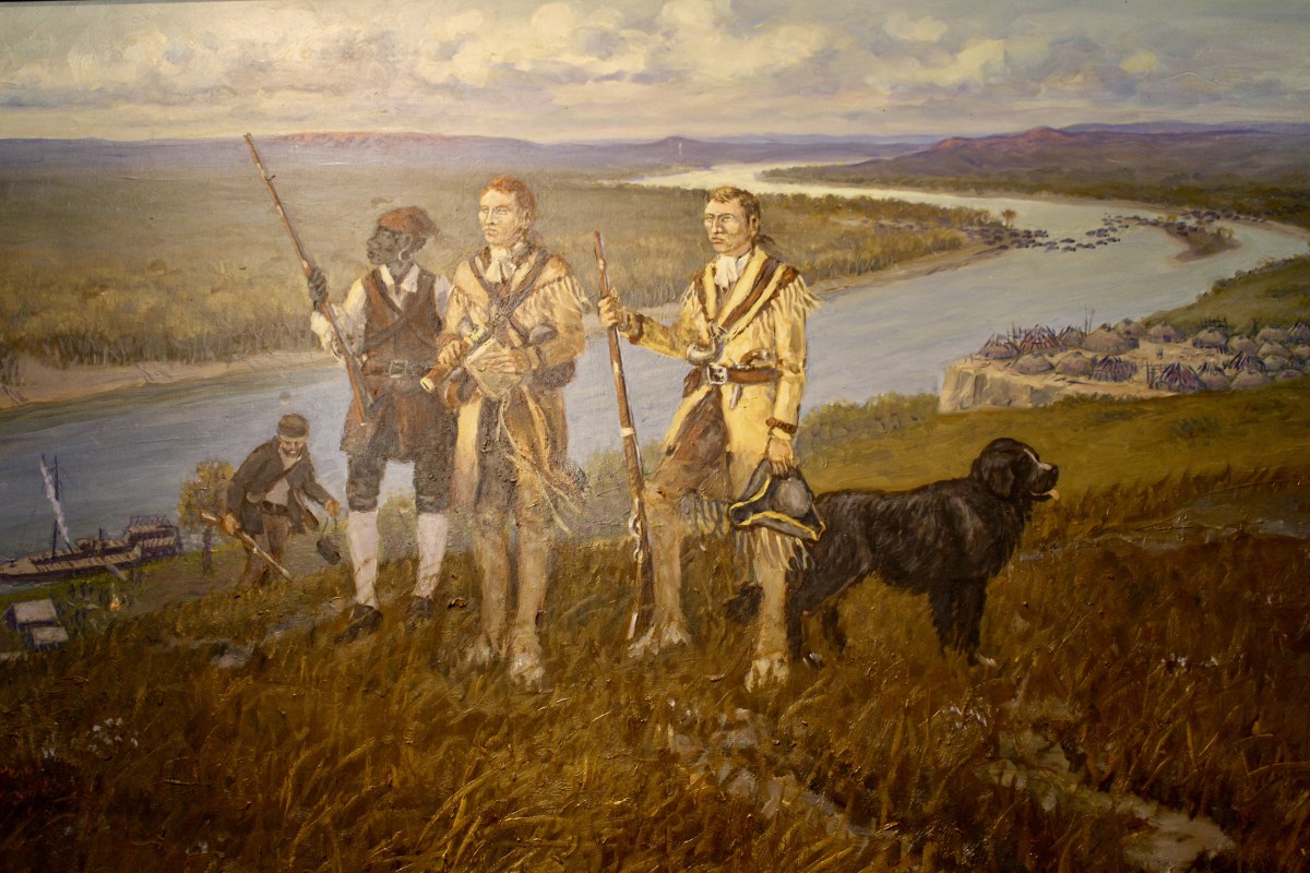
Lewis & Clark & Seaman
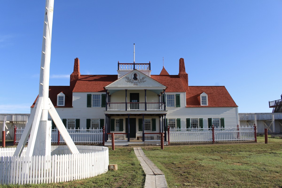
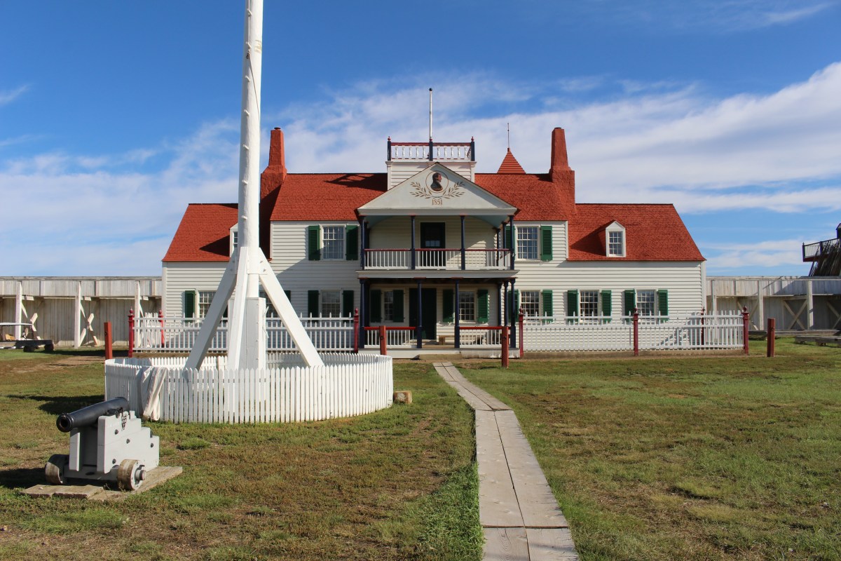
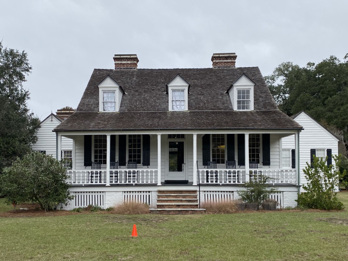
I walked by General George Armstrong Custer’s house at Fort McKeen.
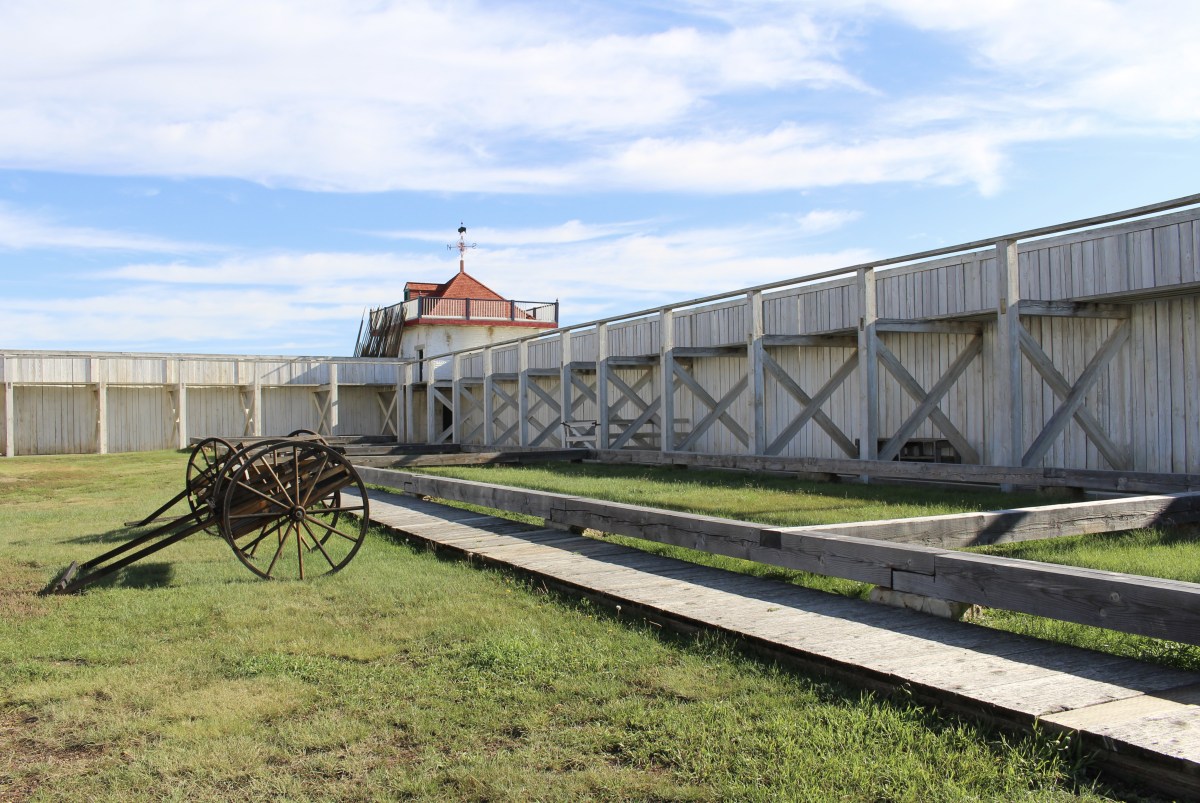
There were also buildings of the cavalry and infantry posts. I saw the central barracks, the commissary store, and the blockhouses standing guard over the old fort. Prior to the time Custer led the army expeditions into the Black Hills and before he was killed at the Battle of Little Big Horn in Montana, he was a young Civil War hero stationed at Fort Lincoln in what was then the Dakota territory.
I stopped in the commissary and bought some stickers for my journal.
I didn’t take any of the trails because I was pressed for time and it was still quite wet and cold.

The Custer House
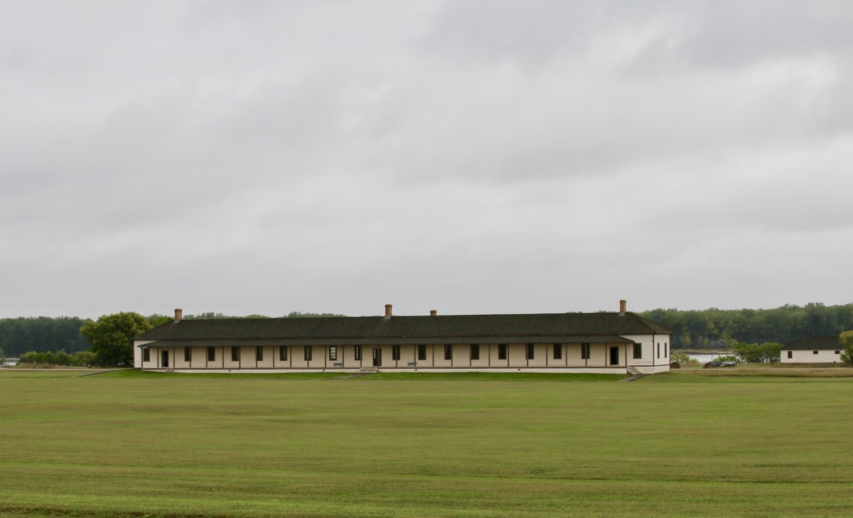
Barracks

The Custer House

The Custer House
Barracks
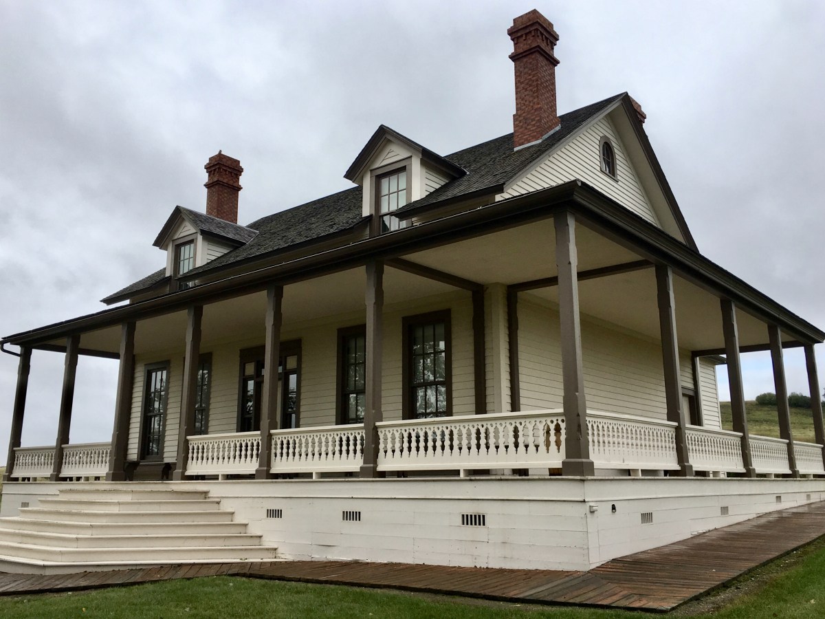
The Custer House
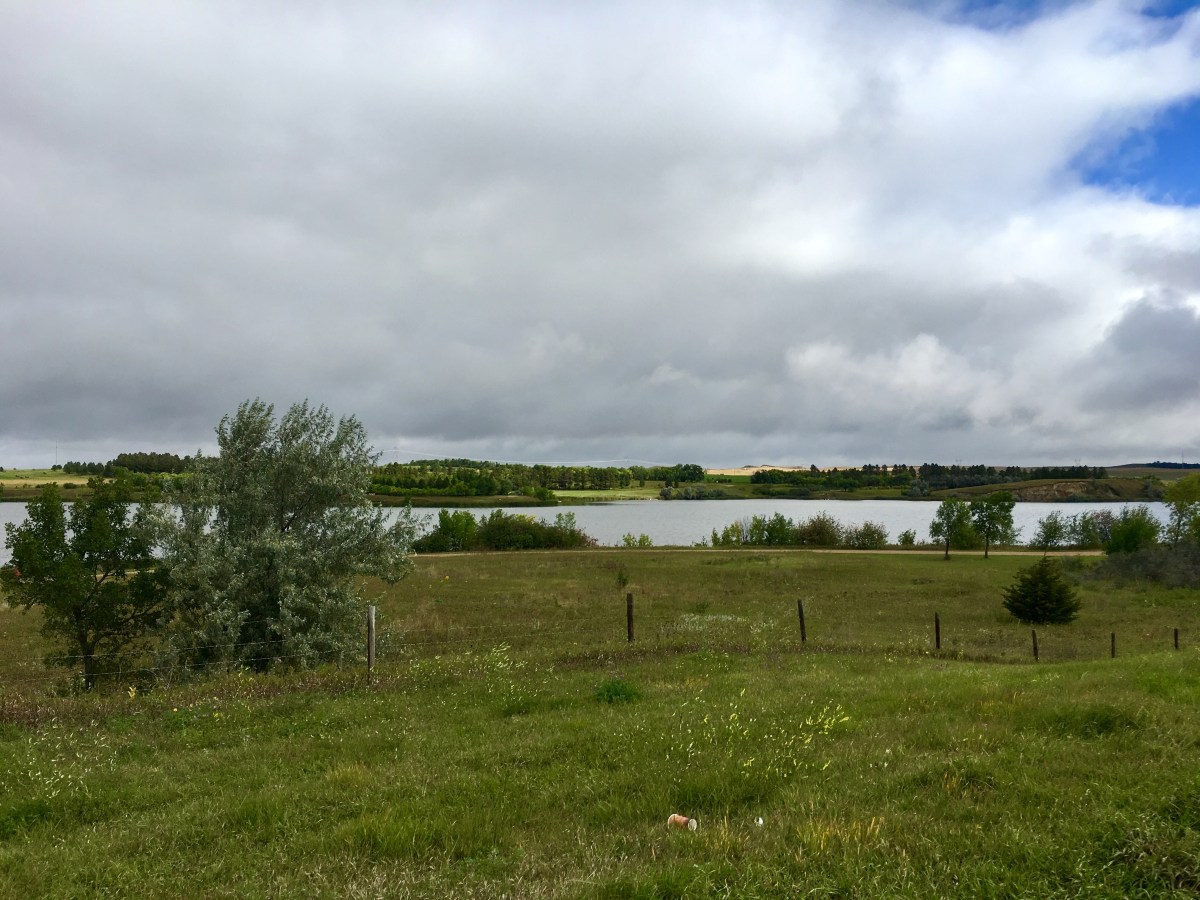
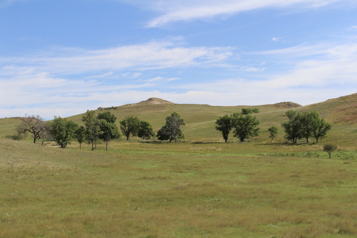
I left Mandan at 10:45 and it was still gloomy and raining. I was surprised by the hilly landscape. I stopped for a scenic view at Sweetbriar Lake. I saw a giant metal cow on a hillock. There was still a ceiling of clouds, but some blue peeked through here and there.
On my way, I ate a 6″ tuna sandwich from Subway. Then I drove through sunflower fields and rolling hills. It seemed the elevation of the land was increasing.

North Dakota landscape
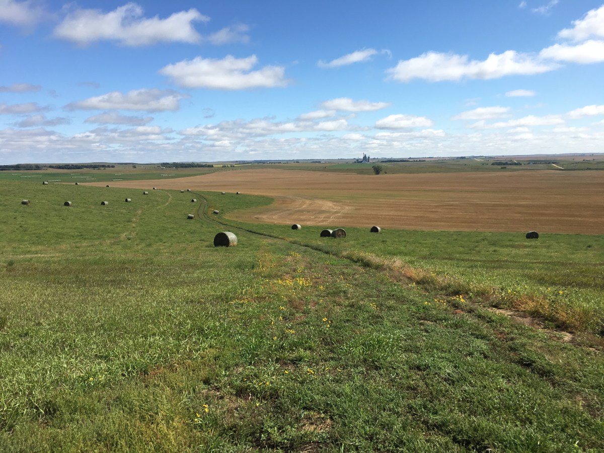
As the sun came out, it streaked the fields with alleys of gold. More sunflowers were all around, with cone-shaped hills scattered through the land. Then there were blackened sunflowers near Glen Ullin and Beulah and John Hiatt sang that the “wind don’t have to hurry.”
I arrived in Gladstone at 12:30; this was the start of the Enchanted Highway. It would be a 33-mile drive to Regent, and then I’d have to backtrack that same stretch of highway.
Former teacher and school principal Gary Greff, with no welding or art training, was worried his town of Regent (population 200) would disappear off the map like so many other farm-dependent towns. When he saw people stopping to take pictures of a giant man made of hay bales, he decided to do mural sculptures. In 1991, he finished Tin Family, made from used farm equipment.
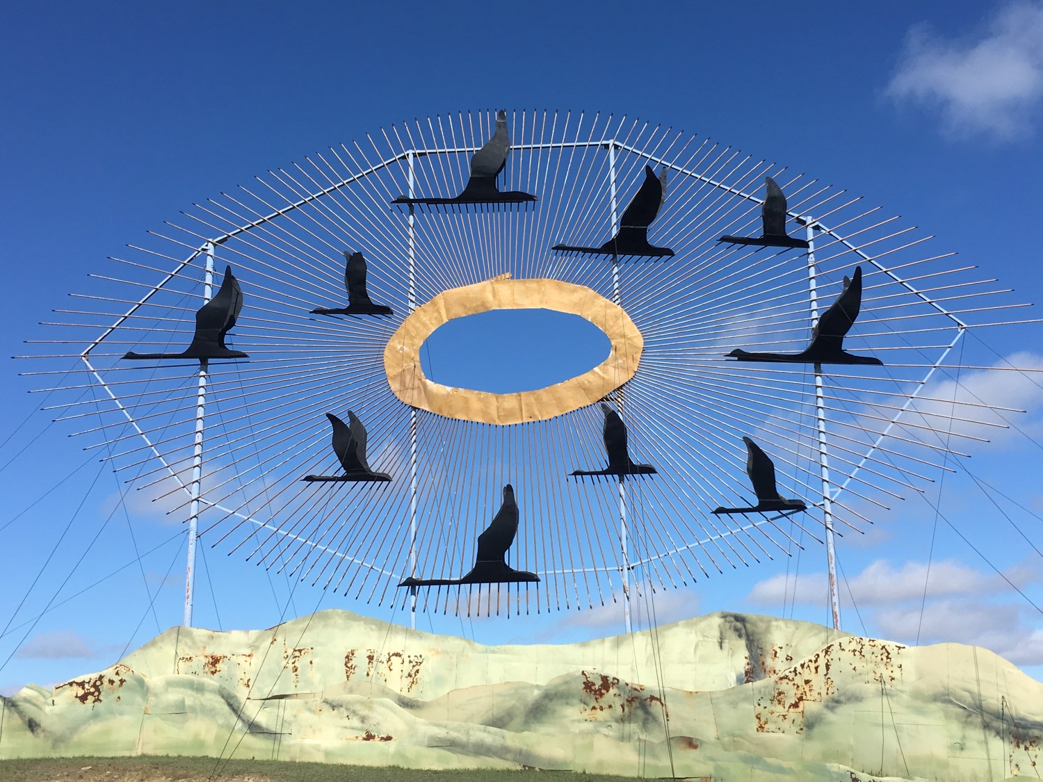
The first sculpture I saw was Geese in Flight, completed in June of 2001. It is in the Guinness Book of World Records as the largest scrap metal sculpture in the world. It was built of used oil well pipe and oil tanks. It weighs over 75 tons. The largest goose has a 30 foot wing span and is 19 feet long.

Geese in Flight
Deer Crossing/The Deer Family was completed in 2001, and erected in 2002. It was made of old oil well tanks cut apart and welded to form the shadow design.

Deer Crossing/The Deer Family
Grasshoppers in the Field was done in 1999 as a reminder of hardships farmers had to overcome. The 40-foot grasshoppers represent one of the Midwest’s most devastating plagues. The largest grasshopper is 50 feet long and 40 feet tall.

Grasshoppers in the Field
Fisherman’s Dream was completed in 2006. It is a three-dimensional sculpture that is made out of tin to form seven fish. The fish swimming under the water scene include a small mouth bass, walleye, catfish, northern salmon, and bluegill, which measure 30 feet long. Jumping out of the water is a 70 foot long rainbow trout.

Fisherman’s Dream

Fisherman’s Dream

Fisherman’s Dream

Fisherman’s Dream
Pheasants on the Prairie, from 1996, was surrounded by sunflowers, corn and hay bales. It is made of wire mesh and took three years to complete. The rooster is 40 feet high and 70 feet long. There was hardly a cloud in the sky and hardly a soul on the road.
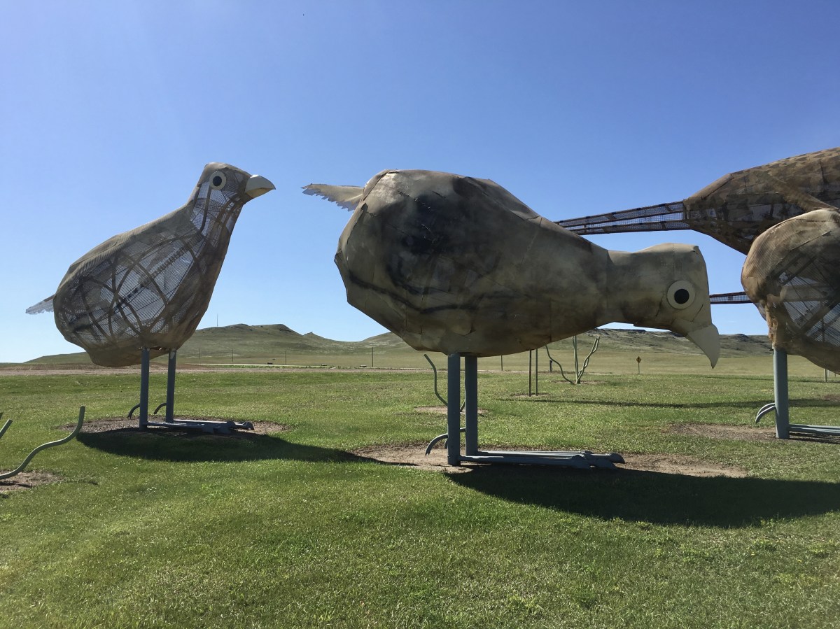
Pheasants on the Prairie
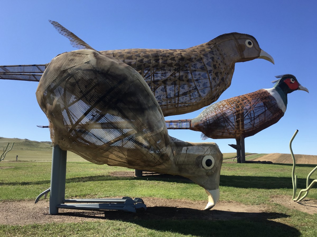
Pheasants on the Prairie

Pheasants on the Prairie

farmland around Pheasants on the Prairie
Teddy Rides Again is from 1993 and is a tribute to Theodore Roosevelt’s part in North Dakota’s history. The sculpture was built of used well pipe. Teddy and his favorite horse “Mulley” stand 51 feet tall and weigh over 9,000 pounds. It stands just south of Black Butte, which is 3,112 feet above sea level.

Teddy Rides Again
Tin Family, from 1991, was the first site erected on the Enchanted Highway. It was built of used farm equipment that took farmers hours of labor and welding to achieve.
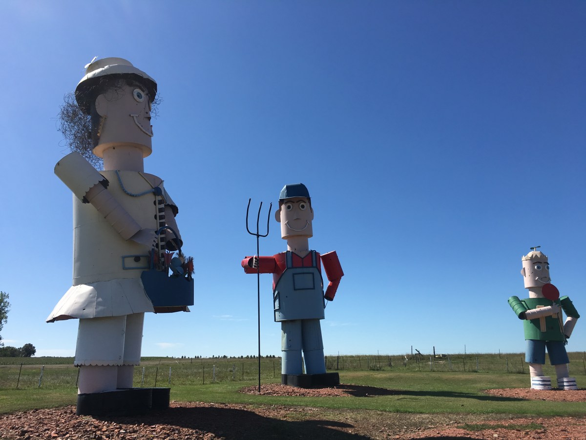
Tin Family
Whirly Gigs was near the town of Regent.

Whirly Gigs

Enchanted Highway Gift Shop in Regent, ND

Regent, ND
After arriving in Regent, I went north again to Exit 72, and passed through sunflowers and more grasslands. It was a long drive down with all the stops and then I had to backtrack, so it took a good chunk of the day.
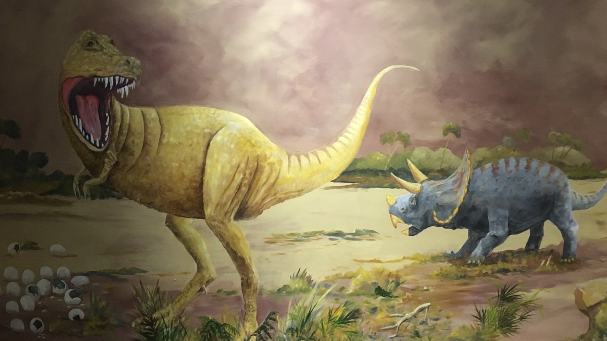
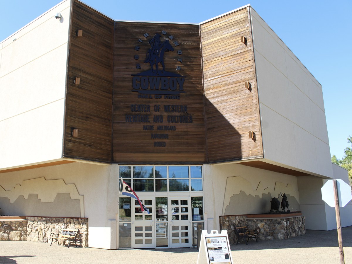
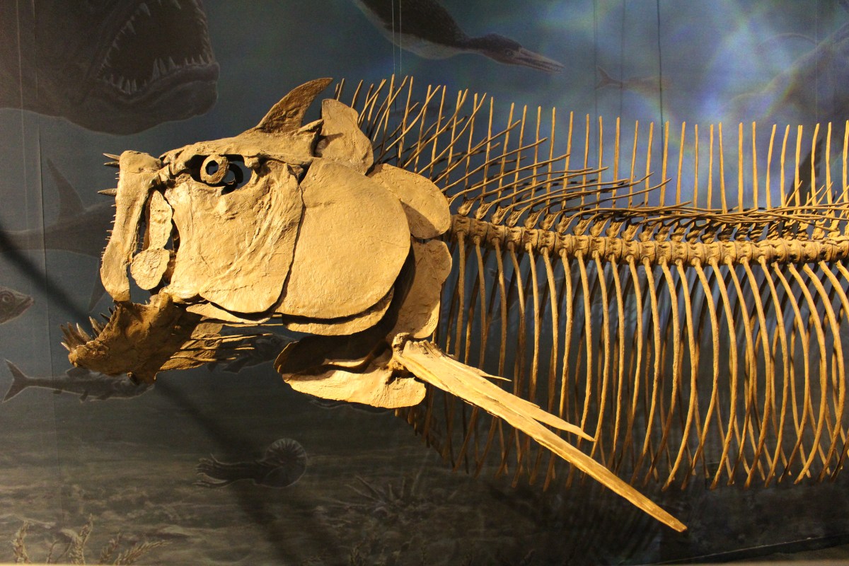
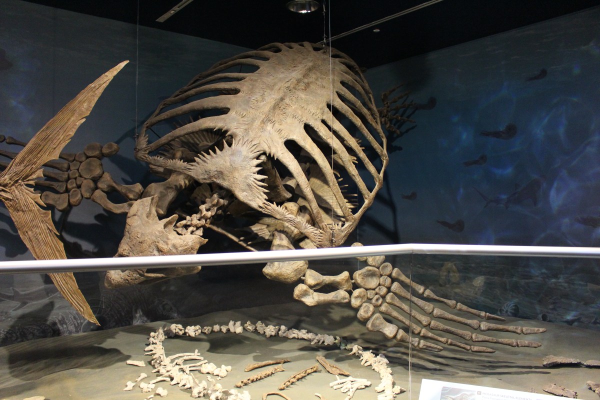
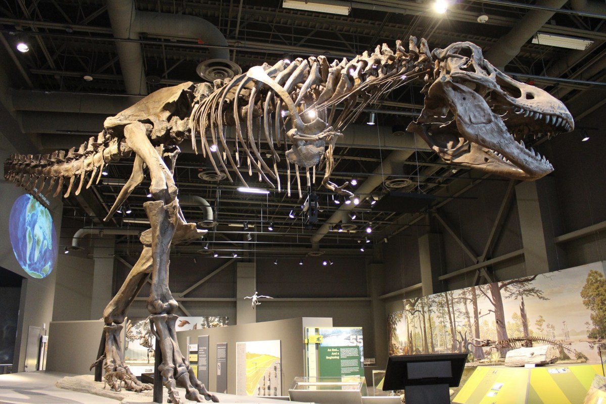
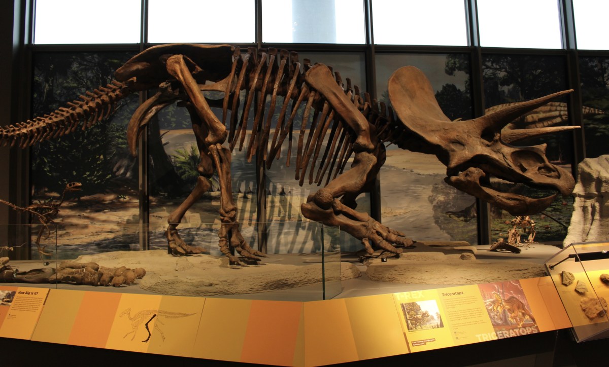
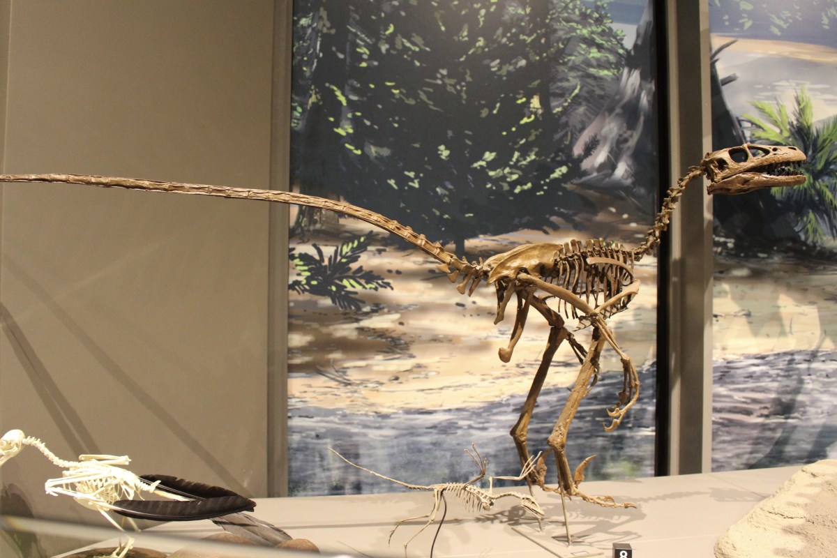
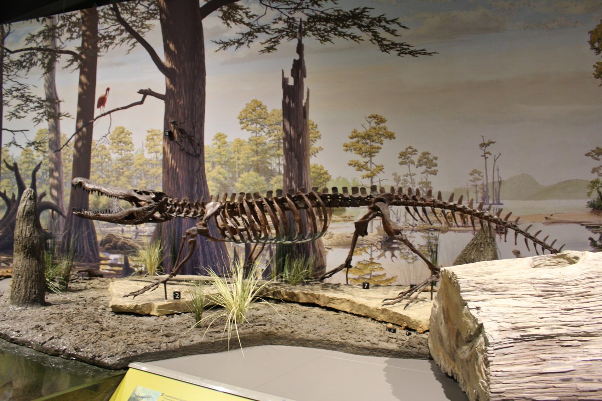
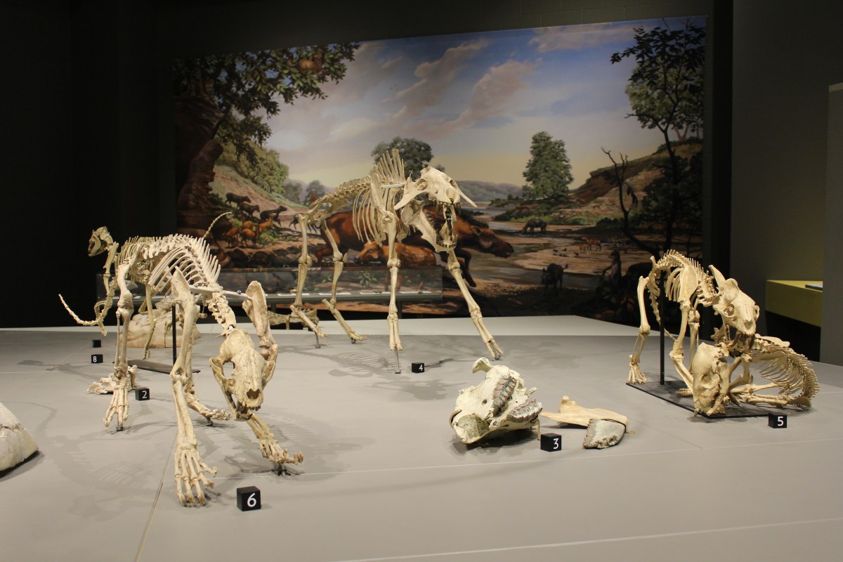
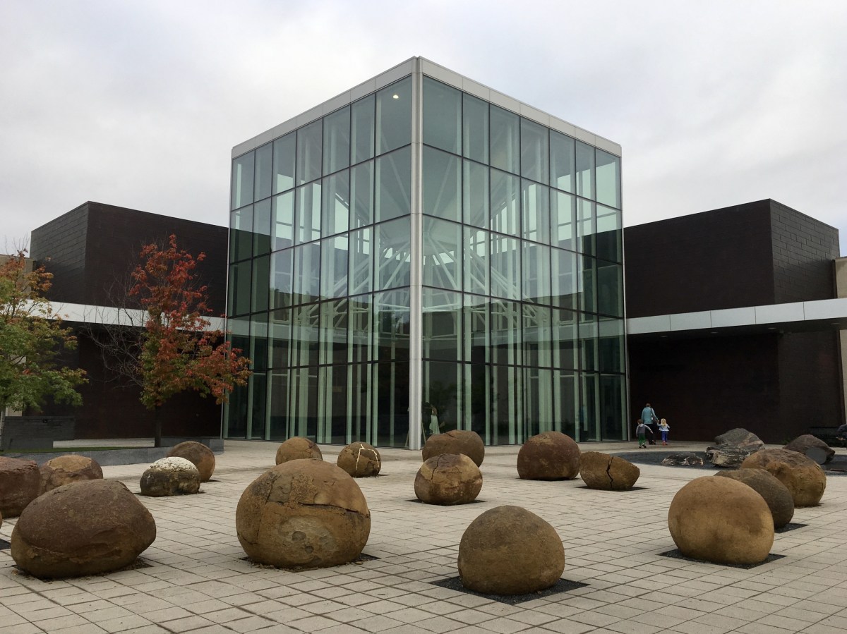
When I arrived in Dickinson, I realized there was no way I could make it to Fort Union by the time they closed, so I decided to go ahead and visit the Badlands Dinosaur Museum, an earth science museum that features dinosaur bones found in North Dakota, including a complete triceratops, which lived in the Badlands when it was a warm and swampy area, and a duck-billed edmontosaurus. There were ten other full-scale dinosaurs, a complete fossil rhino, and rocks and minerals.

Dakota Dinosaur Museum
Dakota Dinosaur Museum

Thescelosaurus

Edmontosaurus

Thescelosaurus & co.

dinosaurs hatching

dino skull

owls

Pteranodon sternbergi

Albertosaurus

Equisetum

bones

various skulls

another dinosaur skull

Coelophysis

Allosaurus

Stegosaurus

Albertosaurus

Triceratops

Deinonychus antirropus

Cephalopoda

Pelecypoda (Opalized Oyster)

Tiger Iron

Okenite

Agate

Gypsum (Selenite)

Halite (Pink)

Modern Coral

Thorny Oyster

Sea Urchin

Corals

Trilobita (Trilobite) – Morocco

glowing minerals

oviparity & viviparity

Eggs

Eggs and eggshells
Adjacent was the Joachim Regional Museum & Prairie Outpost Park. It showed how pioneers settled southwestern North Dakota.

Joachim Regional Museum & Prairie Outpost Park

Joachim Regional Museum & Prairie Outpost Park

Joachim Regional Museum & Prairie Outpost Park

Joachim Regional Museum & Prairie Outpost Park

Joachim Regional Museum & Prairie Outpost Park

Joachim Regional Museum & Prairie Outpost Park

Joachim Regional Museum & Prairie Outpost Park

Joachim Regional Museum & Prairie Outpost Park

Joachim Regional Museum & Prairie Outpost Park

Joachim Regional Museum & Prairie Outpost Park

Joachim Regional Museum & Prairie Outpost Park
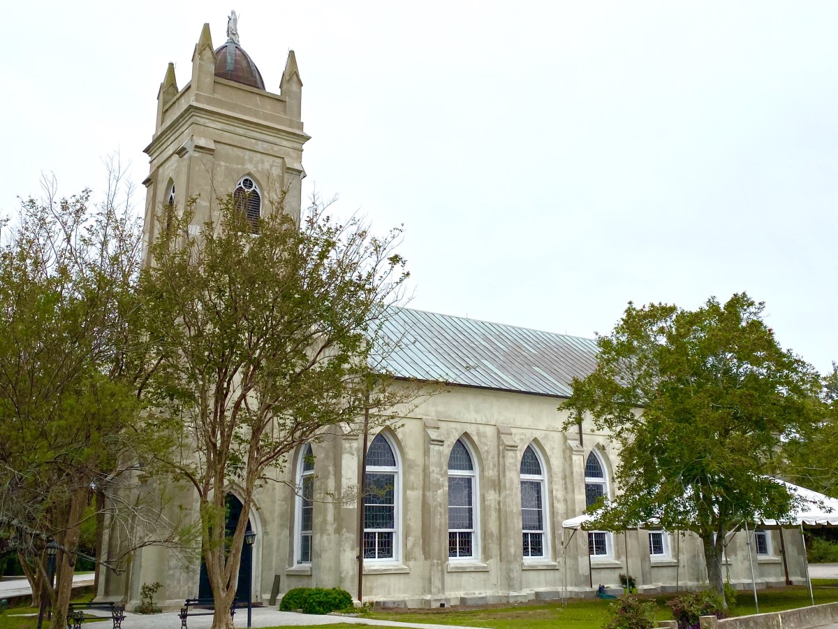
Outdoors, I saw a Norwegian stabbur (storage house), a German-from-Russia homestead house, a one room schoolhouse, a railroad depot, a church and other buildings that reflected the area’s ethnic and immigrant past.

Shipley School

Ridgeway Luthern Church, built 1914-1915

Gorham Store & Post Office

South Heart Depot and rail car

windmill and garden

prairie house

Stabbur

Ceska Radnice Czech Town Hall

Memorial Pioneer Stone House erected by Germans from Russia

Veterans Memorial Chapel
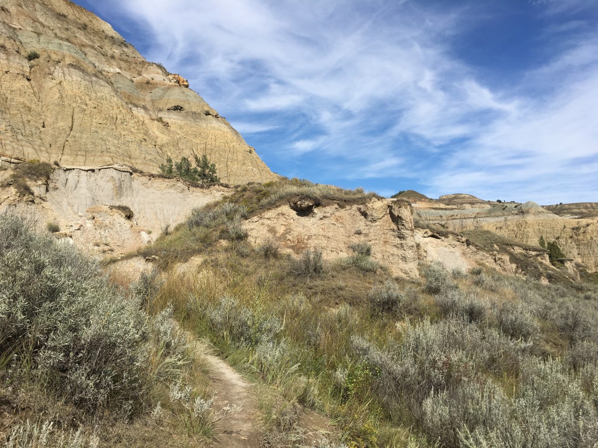
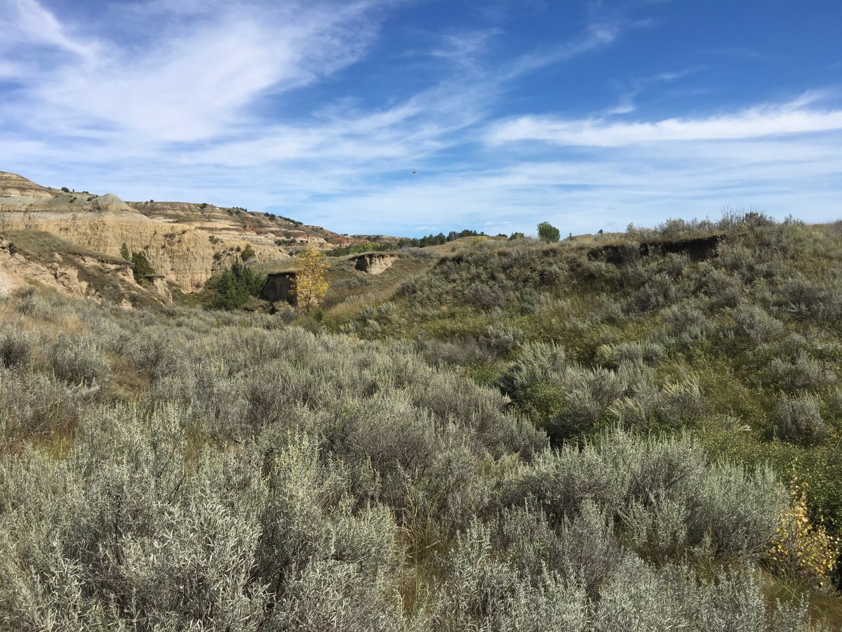
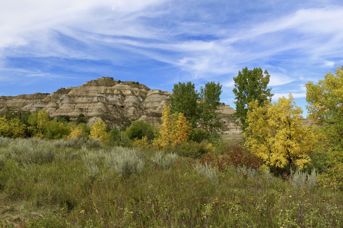
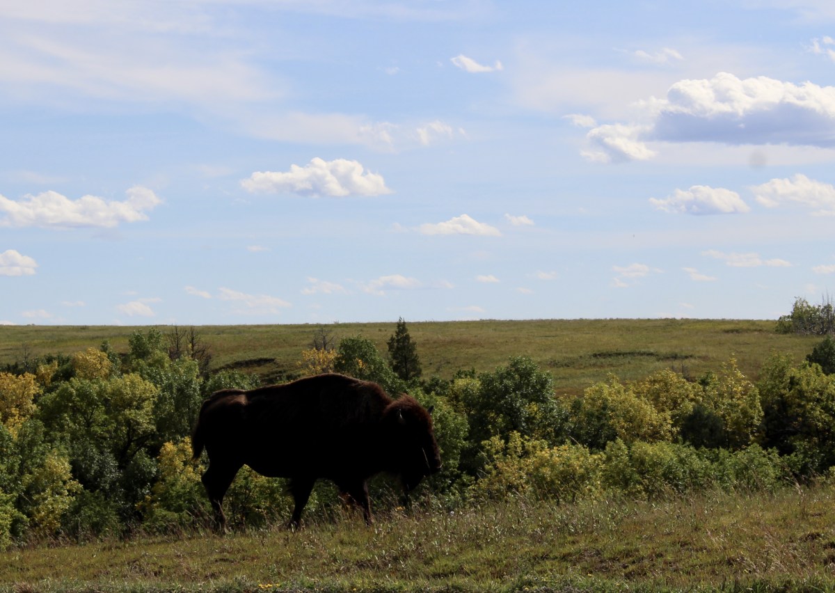
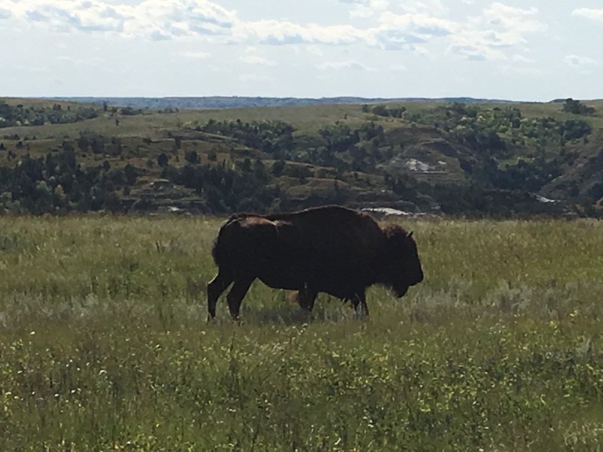
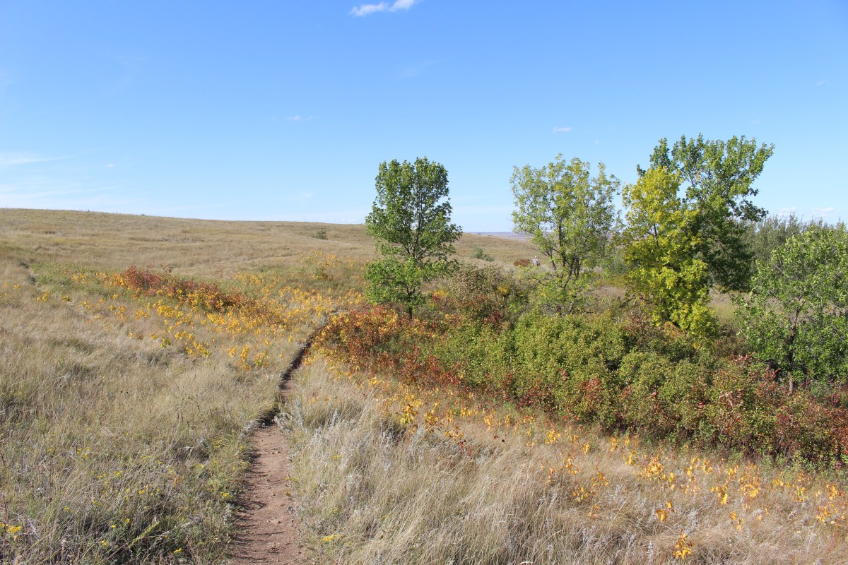
It was a long drive north on 85 to get to Watford City. I drove past the north unit entry to Theodore Roosevelt National Park, which was only about 15 miles south of Watford City. I’d be going there the next day after going to Fort Union.
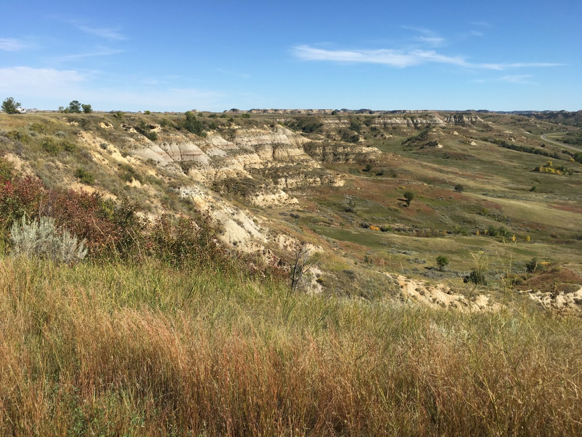
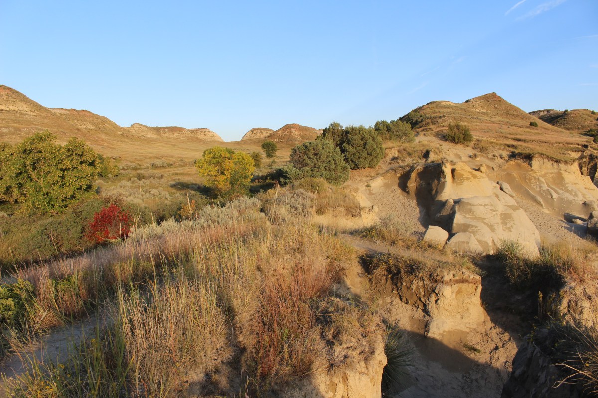
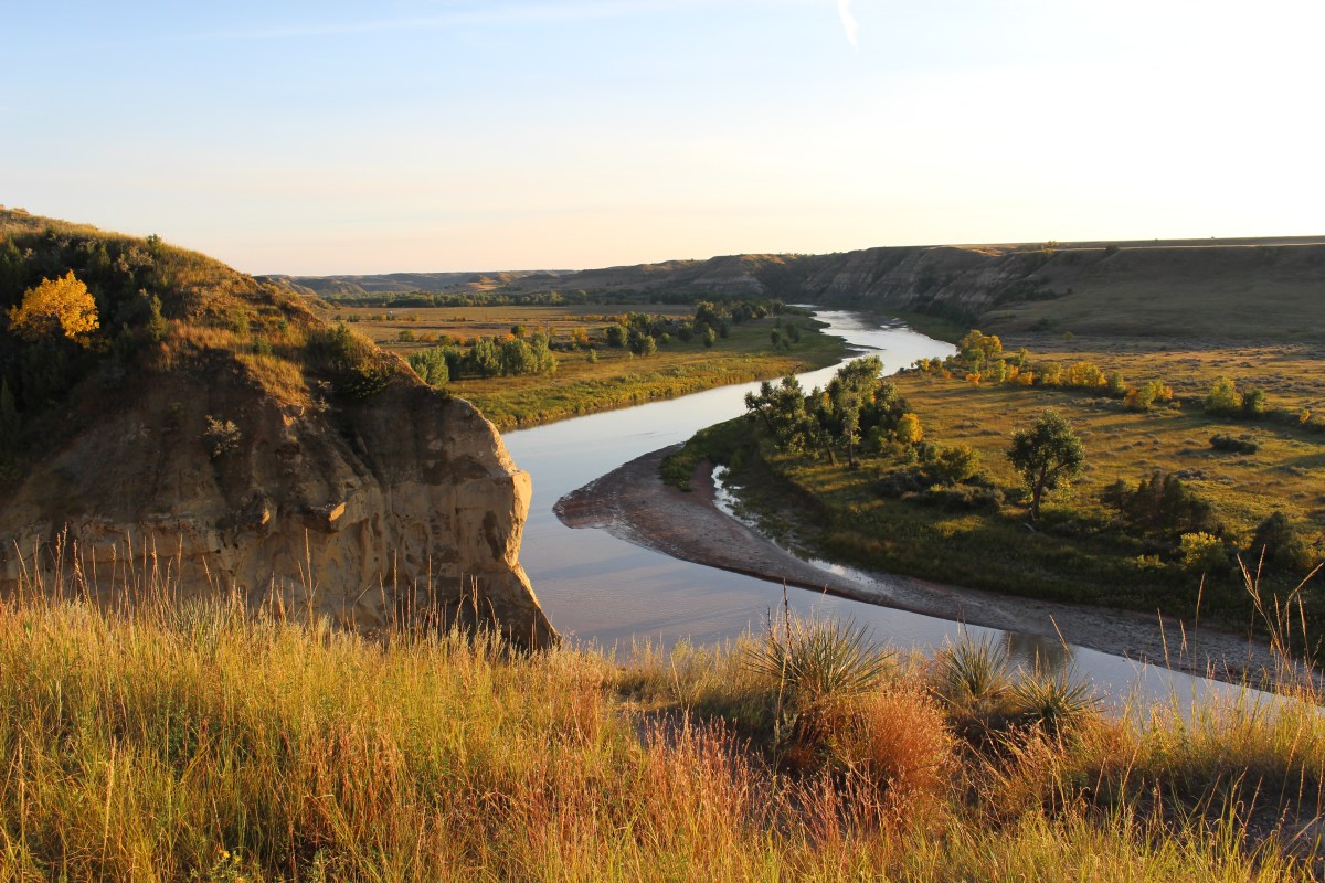
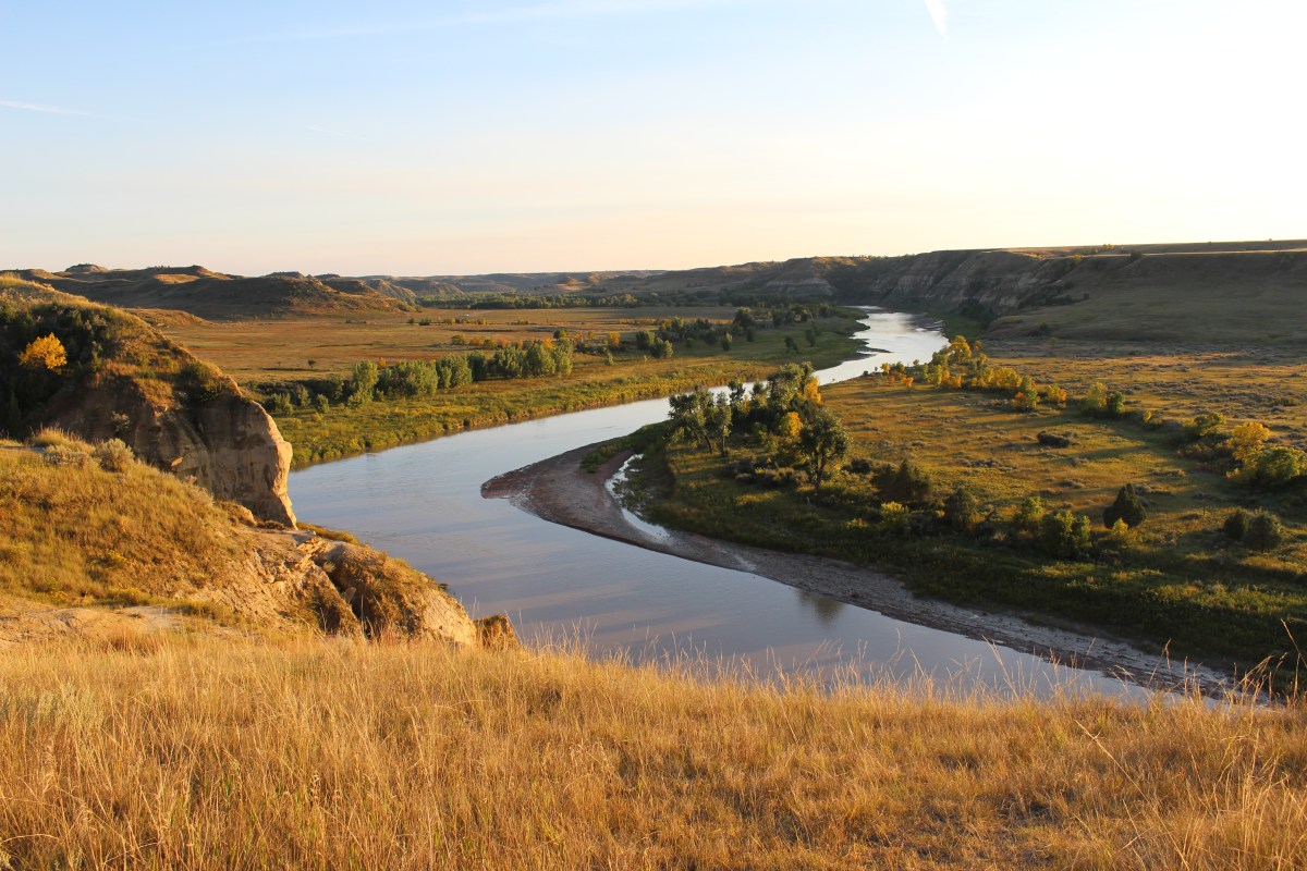
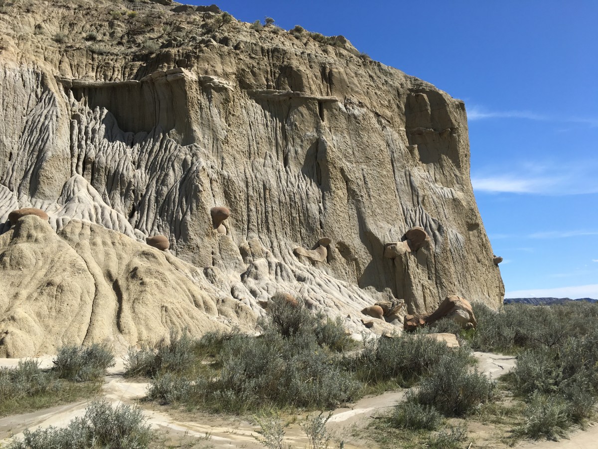
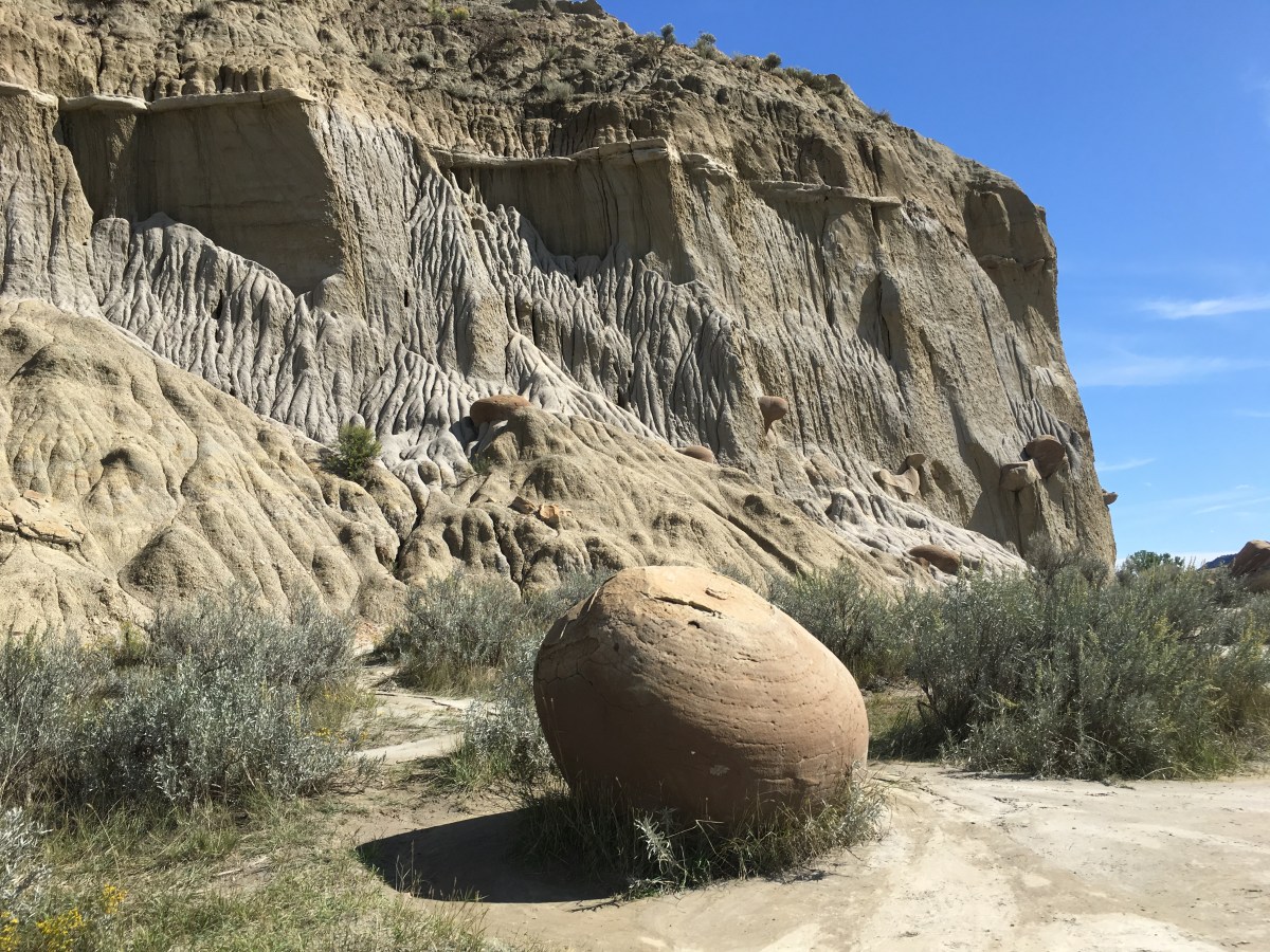
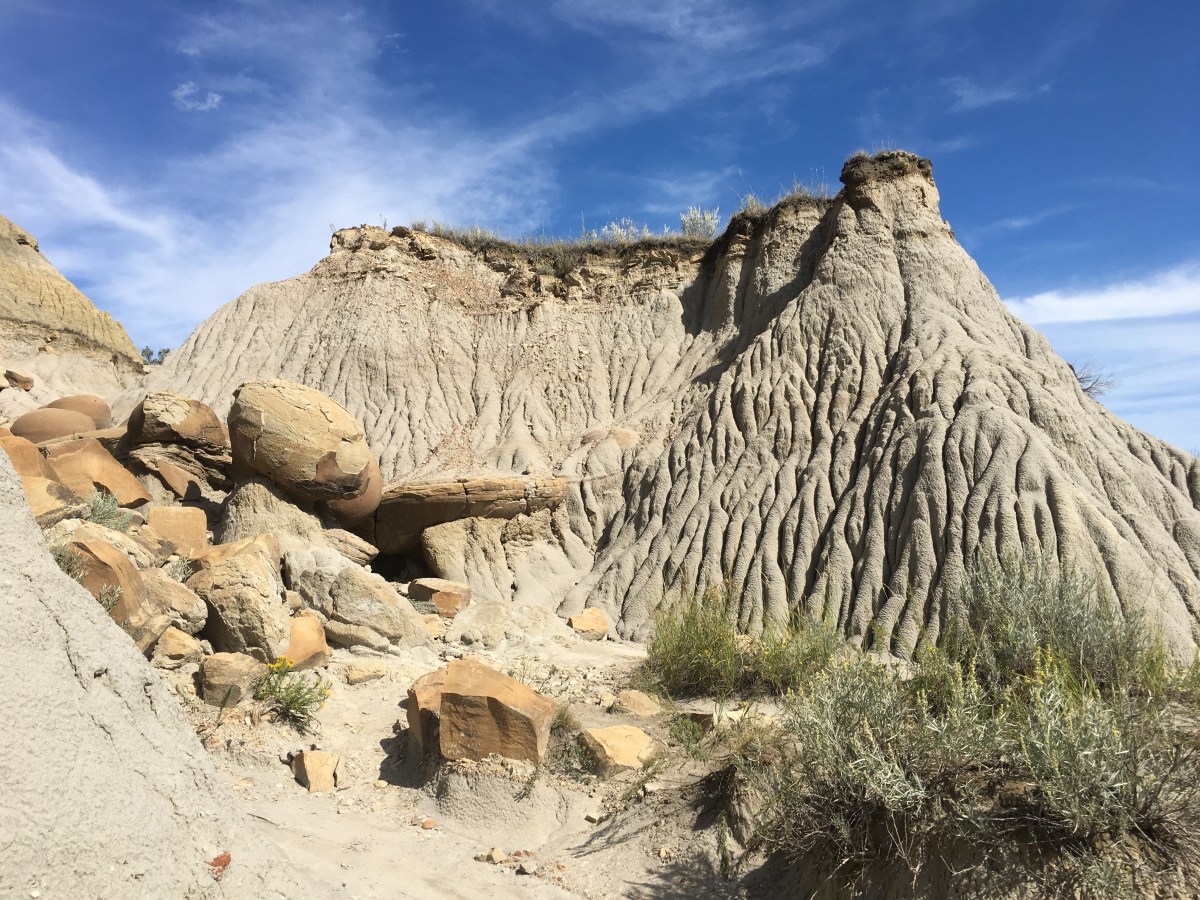
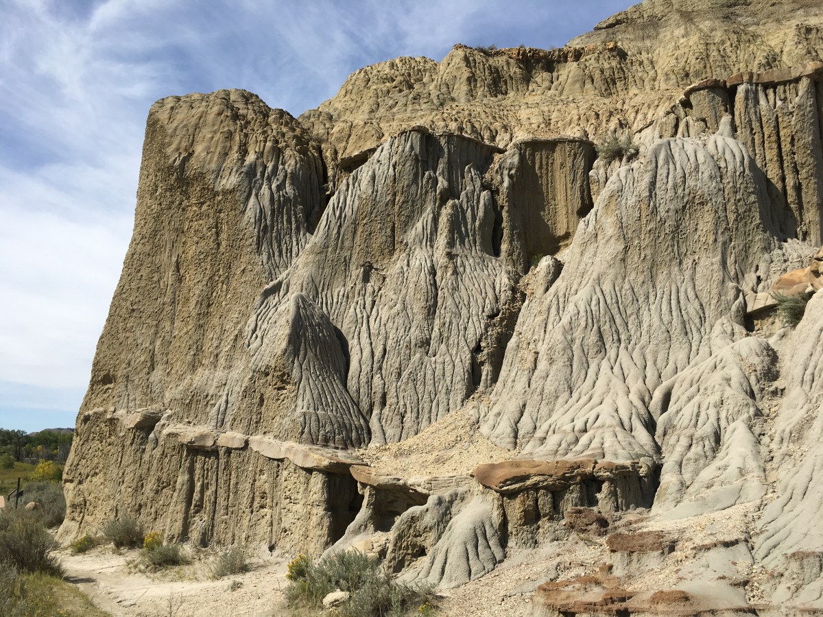
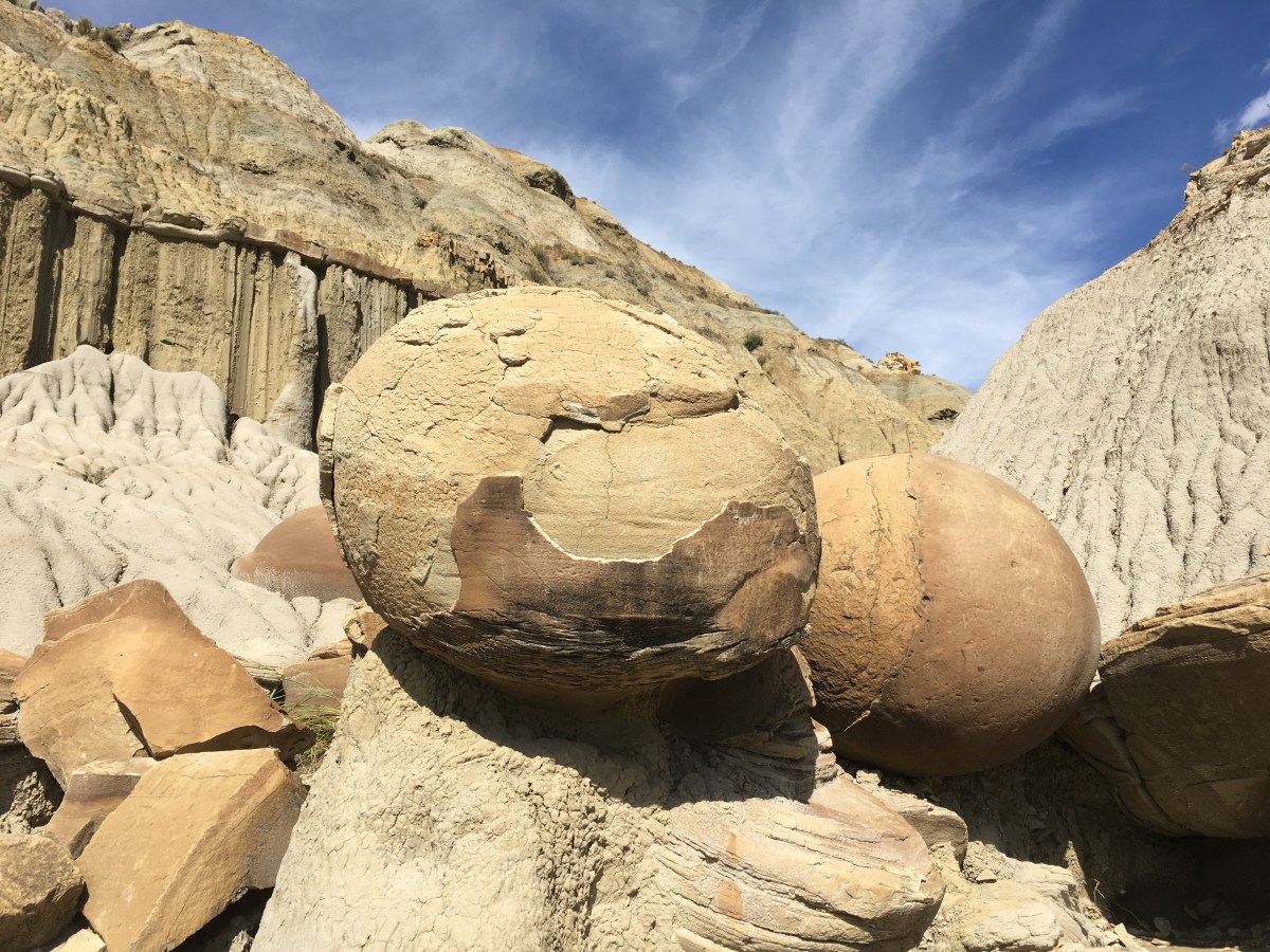
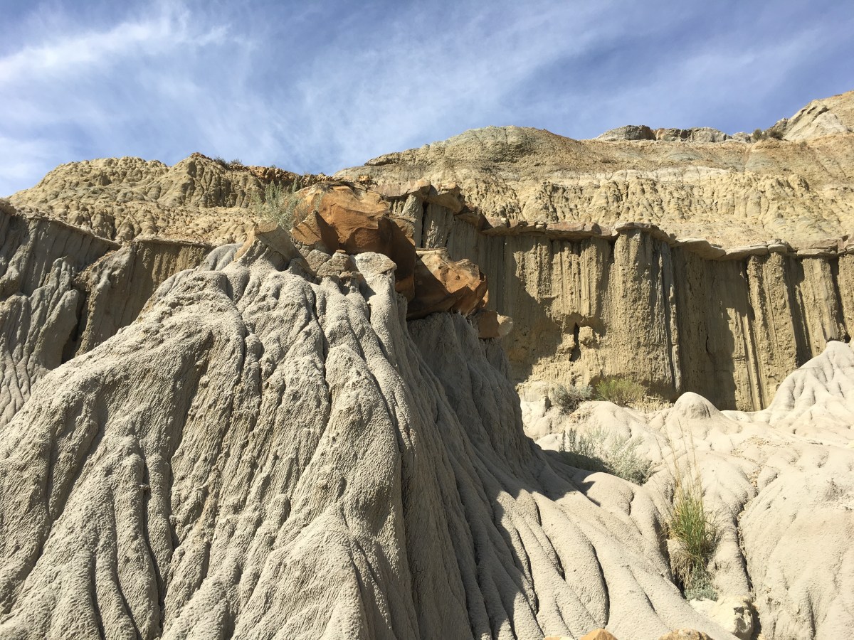
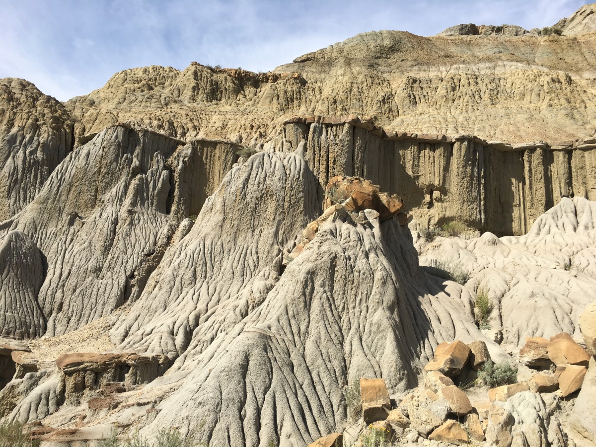
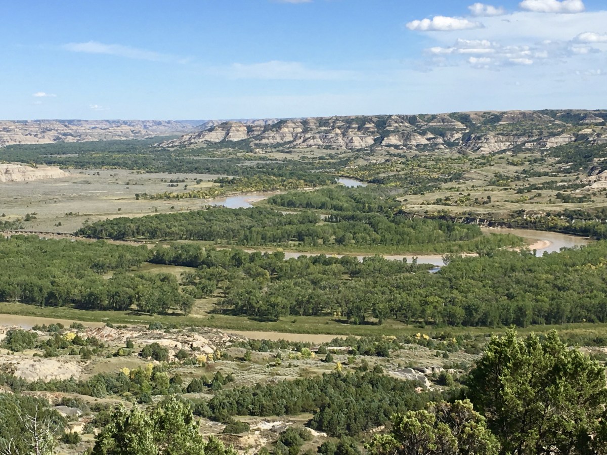
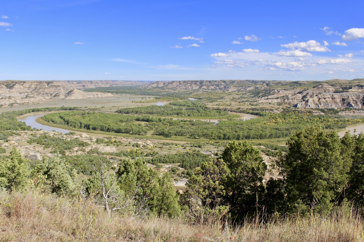
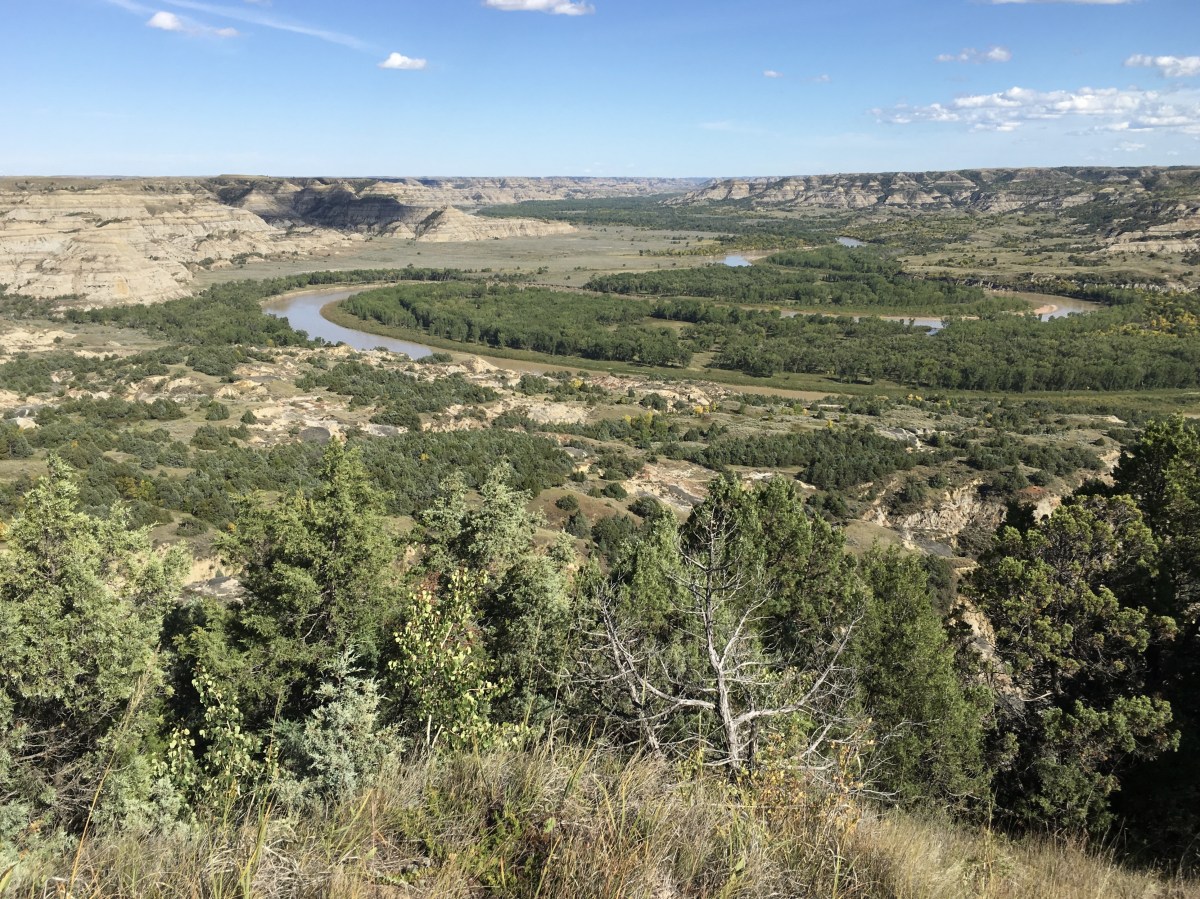
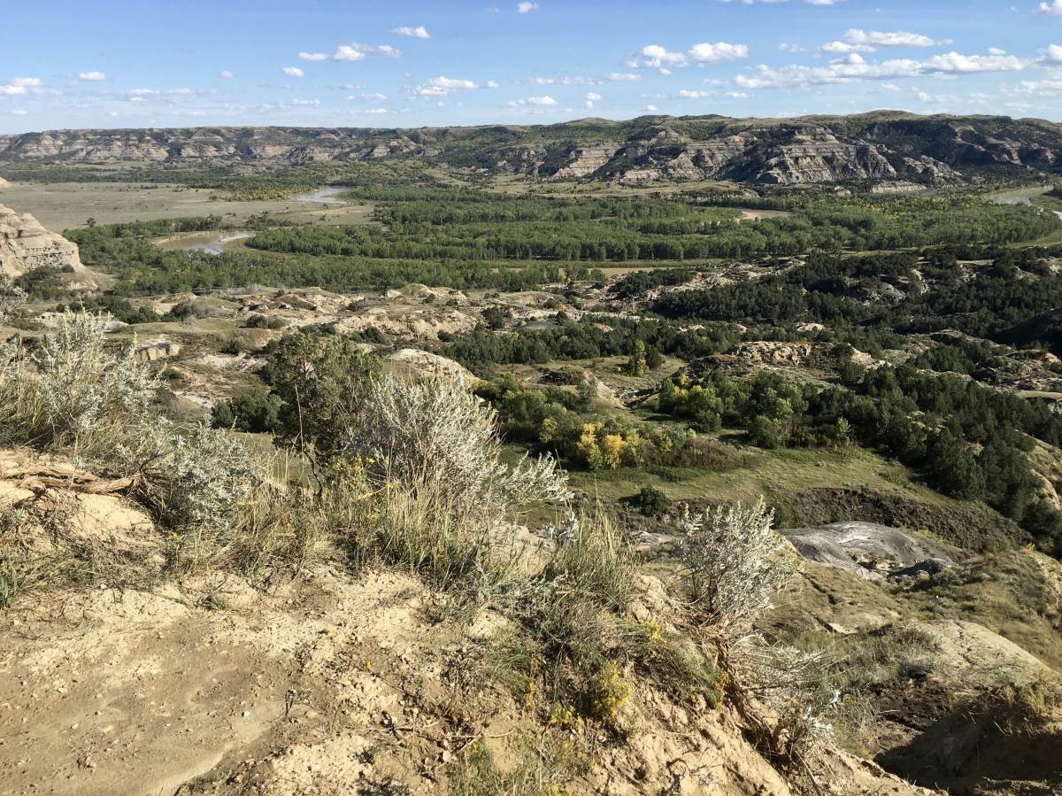
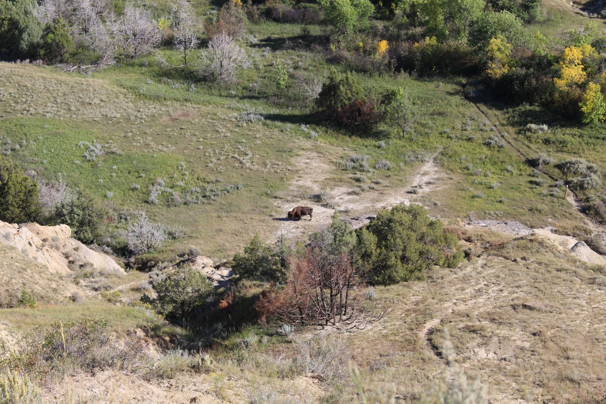
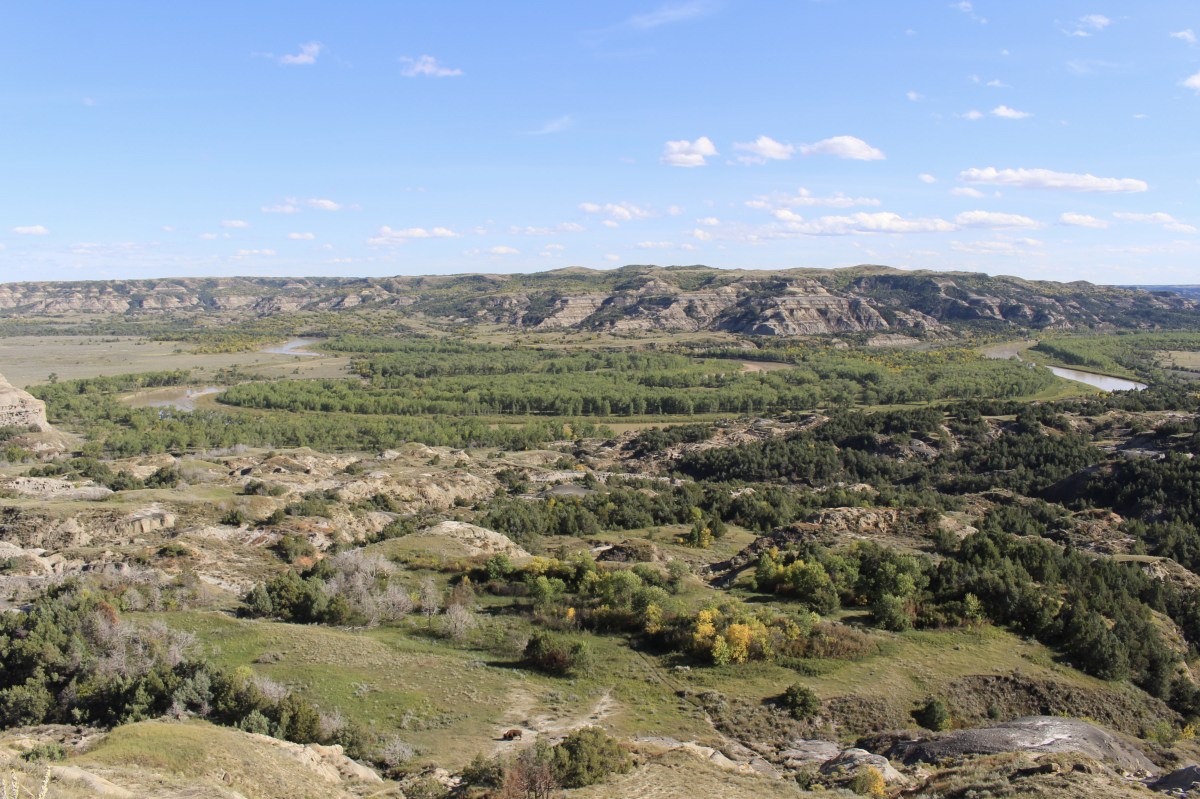
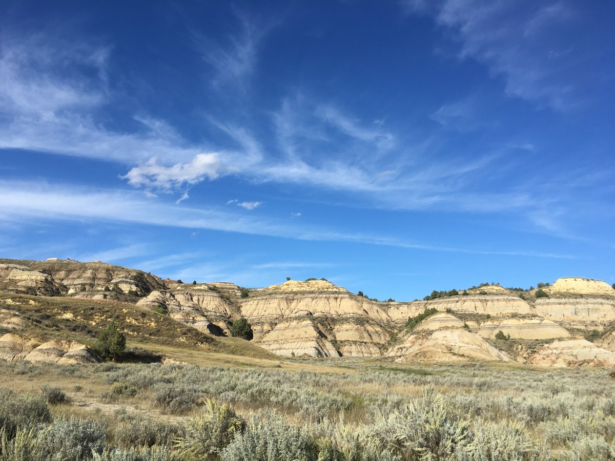
I found panoramic views of the badlands — canyon walls with colorful and fantastic shapes. The ever-changing landscape has horizontal layers of multi-colored sandstone, clay and shale complimented by scattered beds of lignite coal and patches of pastel pink scoria. Scoria, or clinker, is created when the soft lignite burns, baking the surrounding clay to this bright color.
Other layers contain concentrations of petrified logs and stumps of redwood, cypress and cedar. The rock layers are easily eroded, thus the scene is constantly changing.
It was beautiful with with the green and gold foliage, so I looked forward to exploring more the next day.
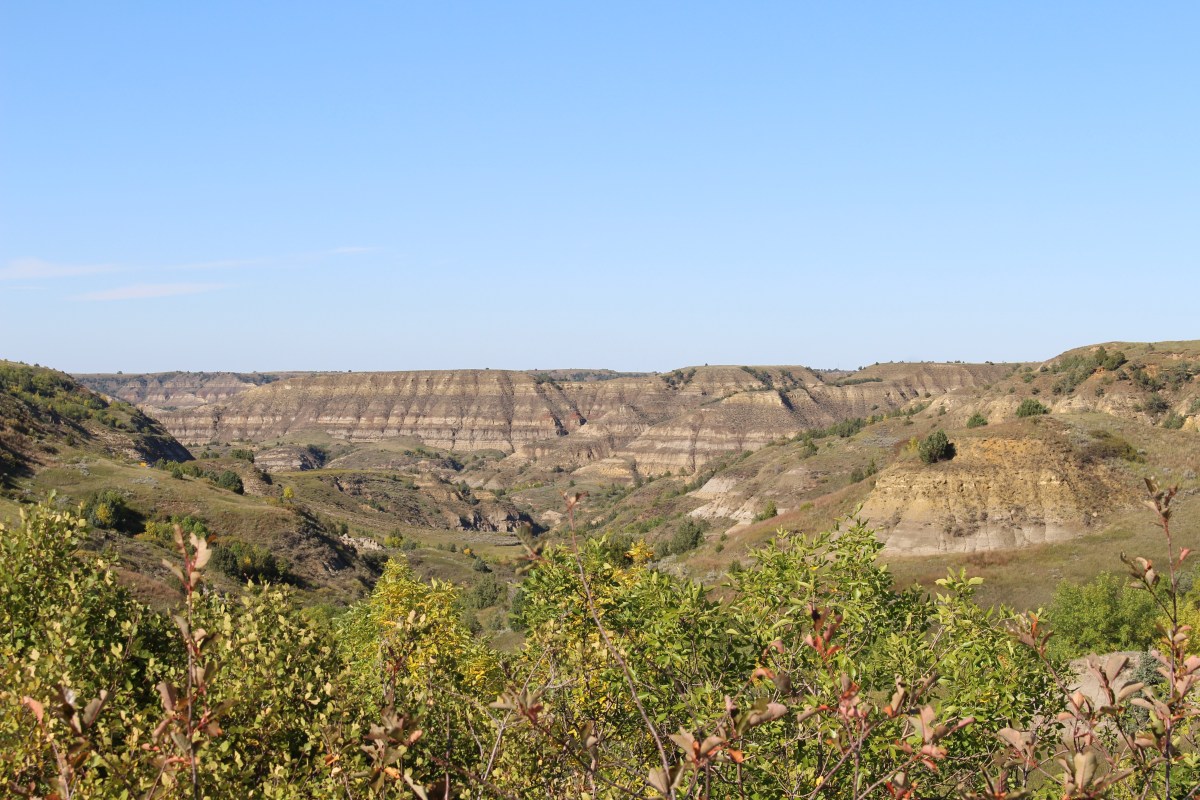
Badlands just outside of Theodore Roosevelt National Park

Badlands just outside of Theodore Roosevelt National Park

Badlands just outside of Theodore Roosevelt National Park

Badlands just outside of Theodore Roosevelt National Park

Badlands just outside of Theodore Roosevelt National Park

Badlands just outside of Theodore Roosevelt National Park

I checked in to the Little Missouri Inn and Suites, which was quite nice, and expensive.
I tried to go to Outlaw’s Bar and Grill but it was too crowded. Then I went to the Tokyo Japanese Steakhouse, where only two servers were working. When I asked when I’d get service, the rude guy told me if I wanted to wait, I could stay, otherwise, I should go ahead and leave. I said I would go ahead and leave. I said, “No wonder they say on Yelp that this place has bad service.” He said, “No one cares about that.” I said, “Obviously, they do or it wouldn’t be so empty.”
I then tried to go to Hardee’s but the menu was unrecognizable to me.
So I ended up eating Subway again, this time a meatball marinara 6″. This was the first unpleasant evening I’d had on my trip so far.
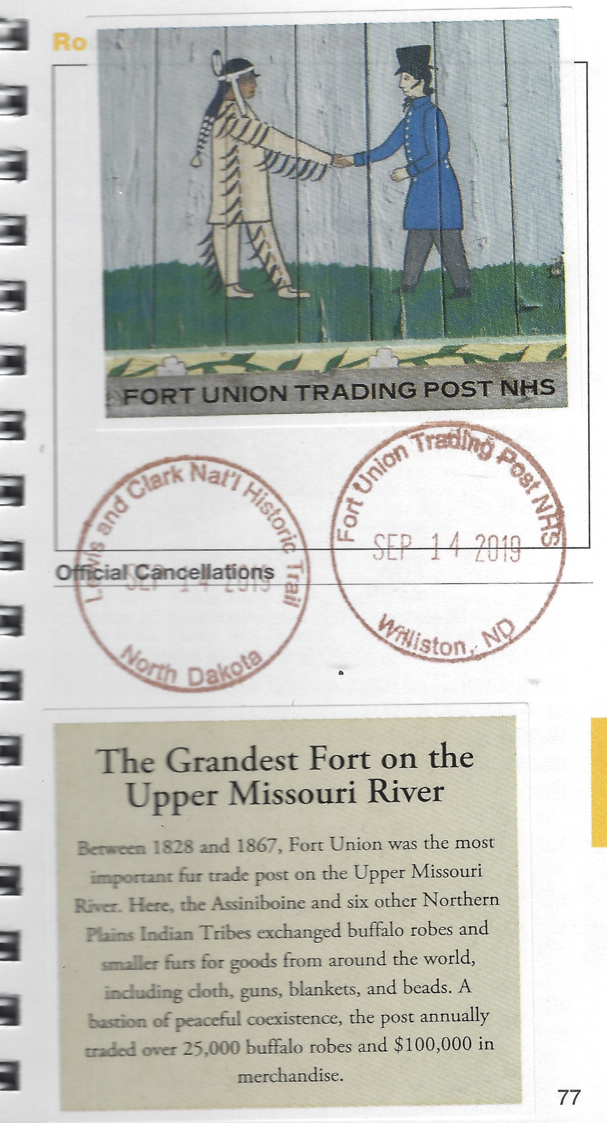
Information from the various sites is taken from signs at the sites.
Below are a few of my journal pages from today’s trip.

journal pages: Mandan to Watford City

journal pages: Mandan to Watford City
*Drove 267.6 miles; Steps 9,903, or 4.2 miles*
*Friday, September 13, 2019*


You must be logged in to post a comment.