
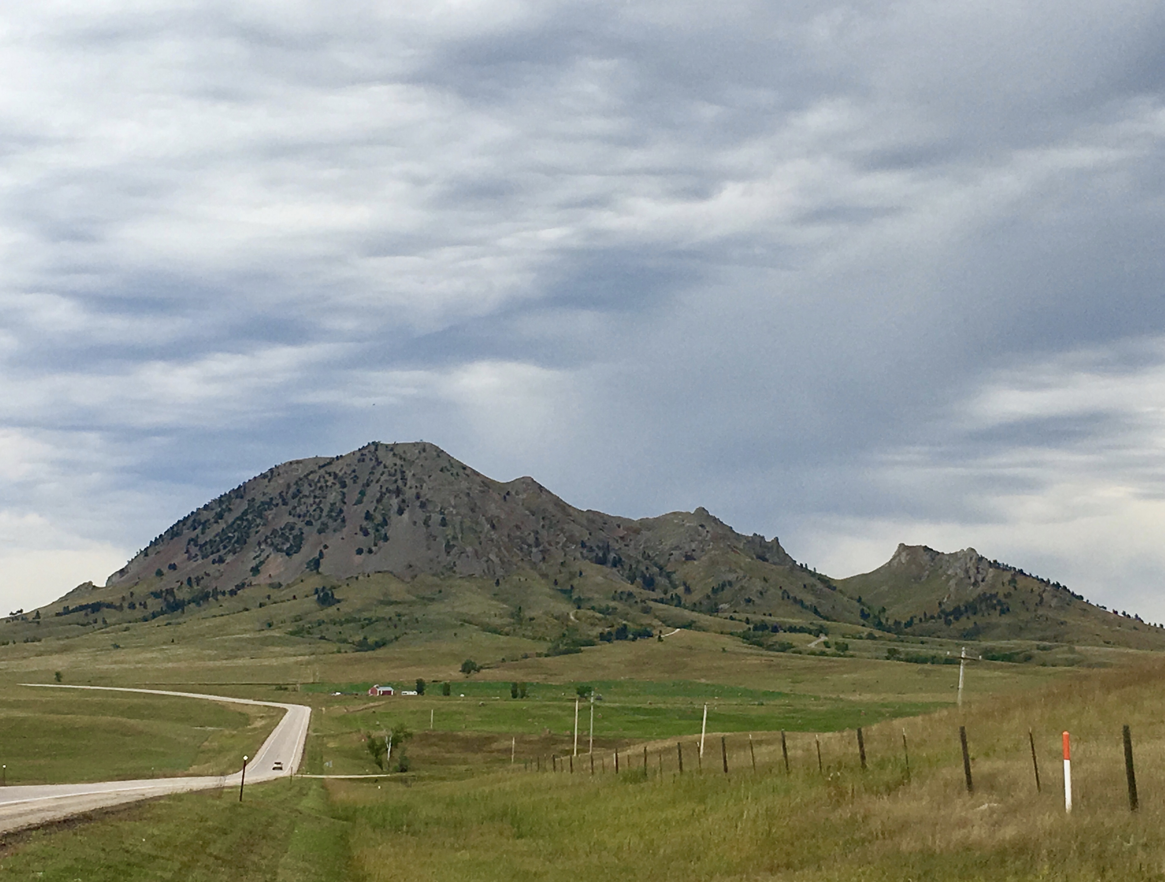
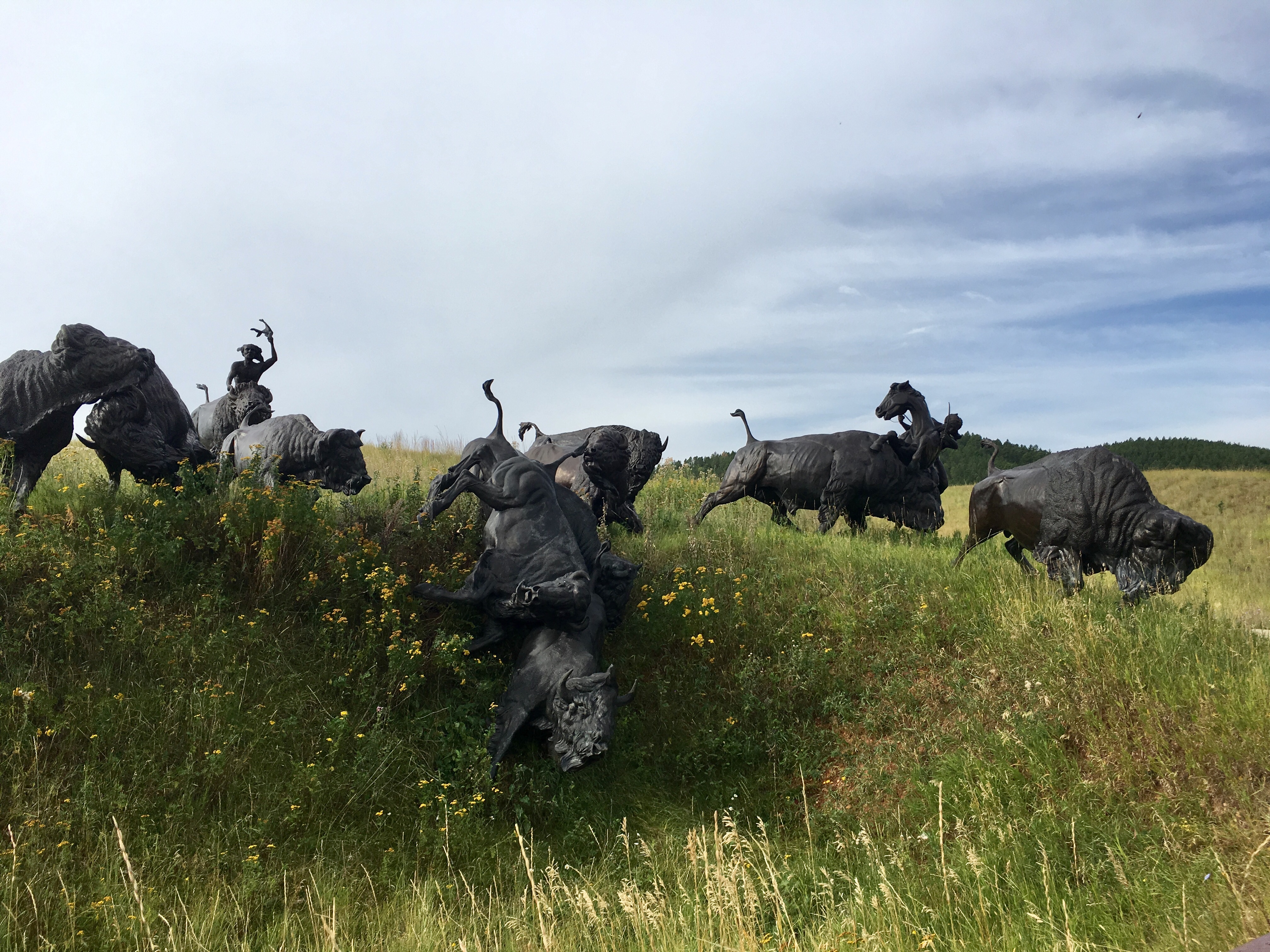
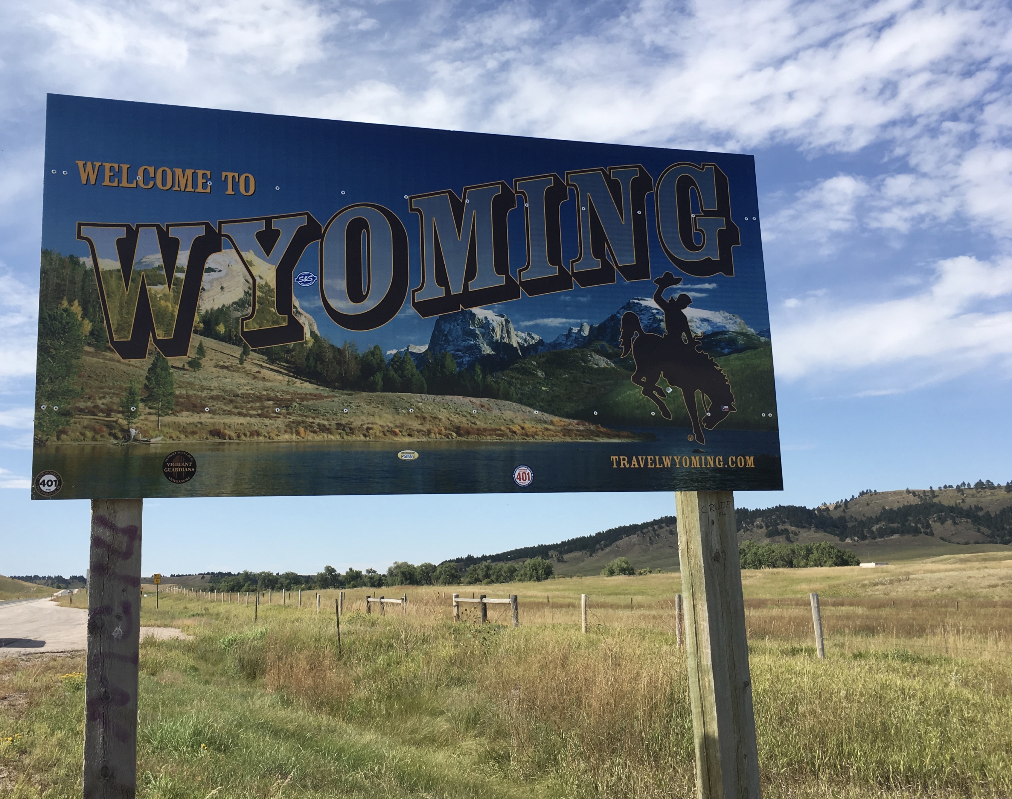
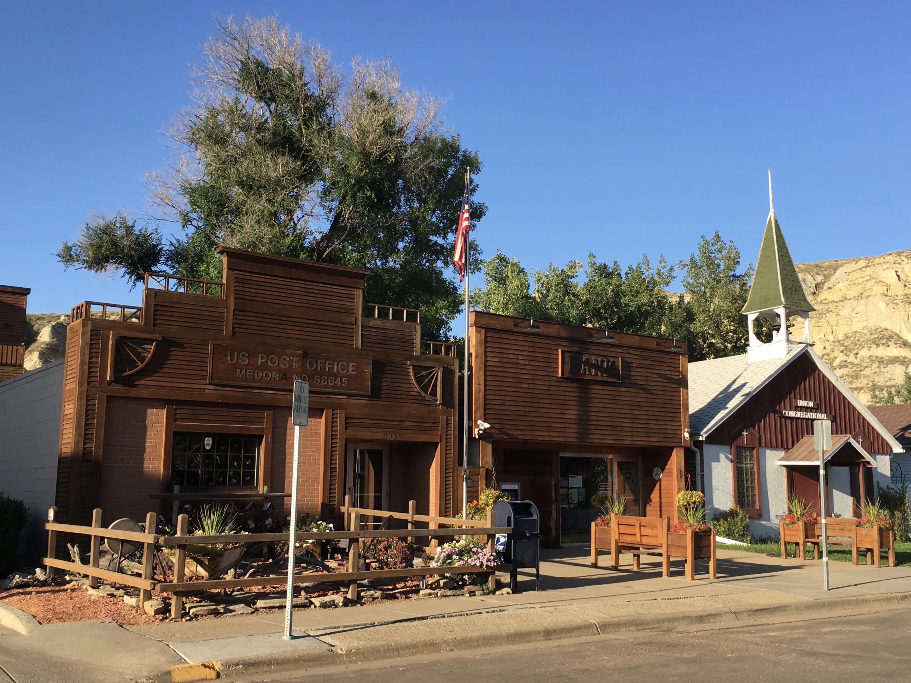
At breakfast this morning in Wall, I chatted with two ladies from Raleigh, North Carolina who praised Custer State Park and insisted we’d love it — the bison herds and the Needles Highway. One of them went to University of North Carolina, my husband’s alma mater.
As I drove to Badlands National Park, I passed signs for Prairie Homestead and the Minuteman Missile site, which I planned to visit the following day. I passed the Badlands Trading Post and by 9:30 was at Badlands National Park Northeast Entrance. I drove on the Badlands Loop Road.
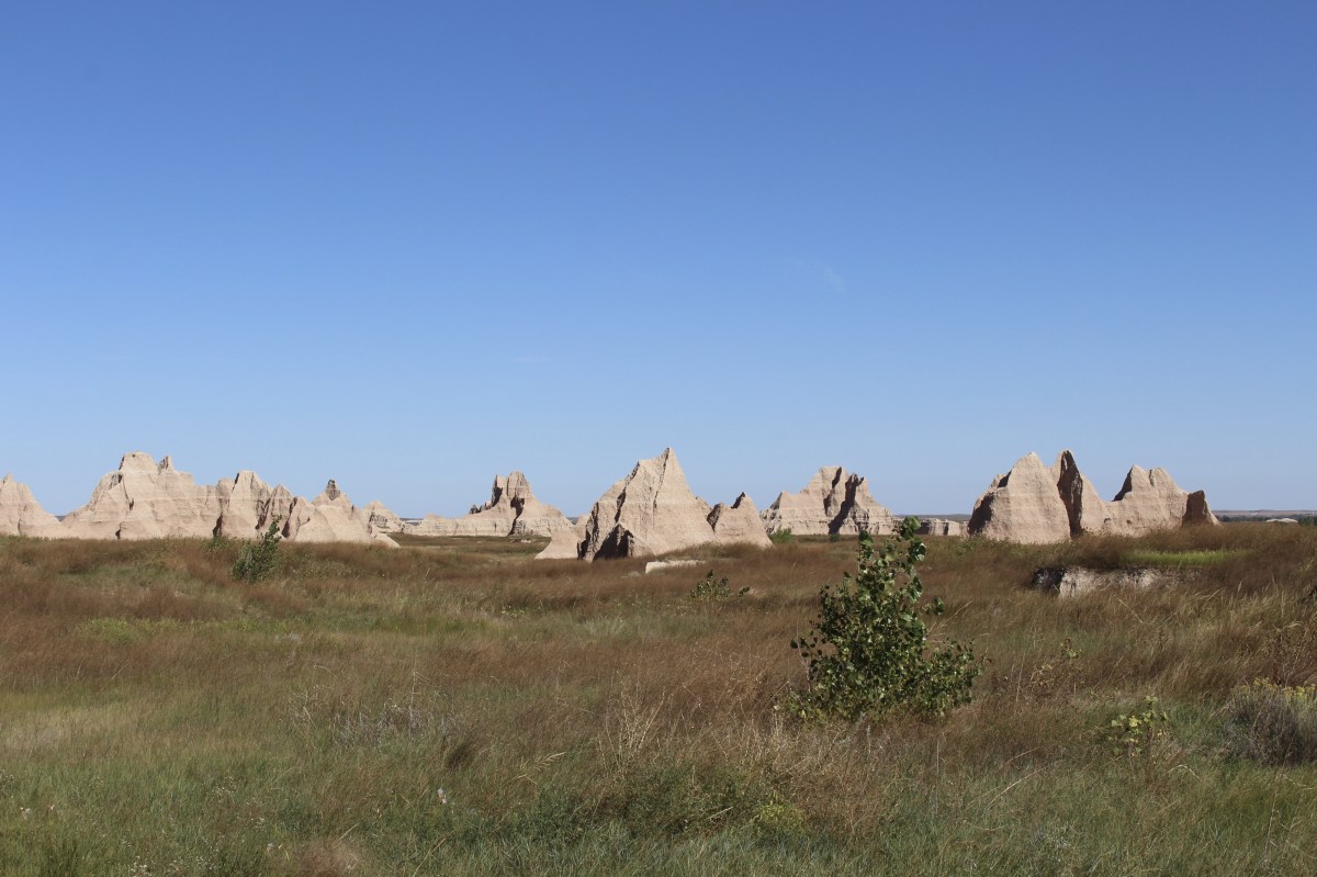
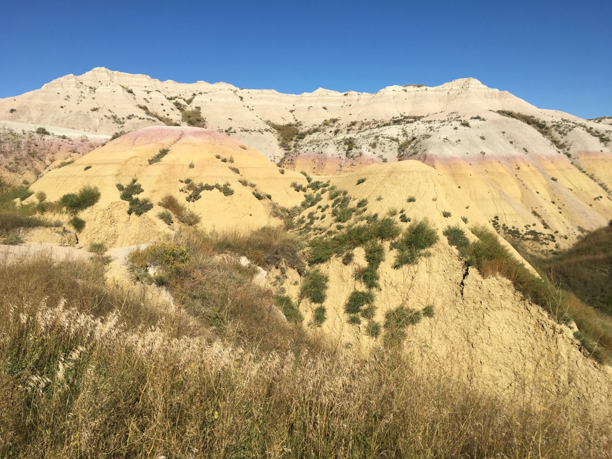
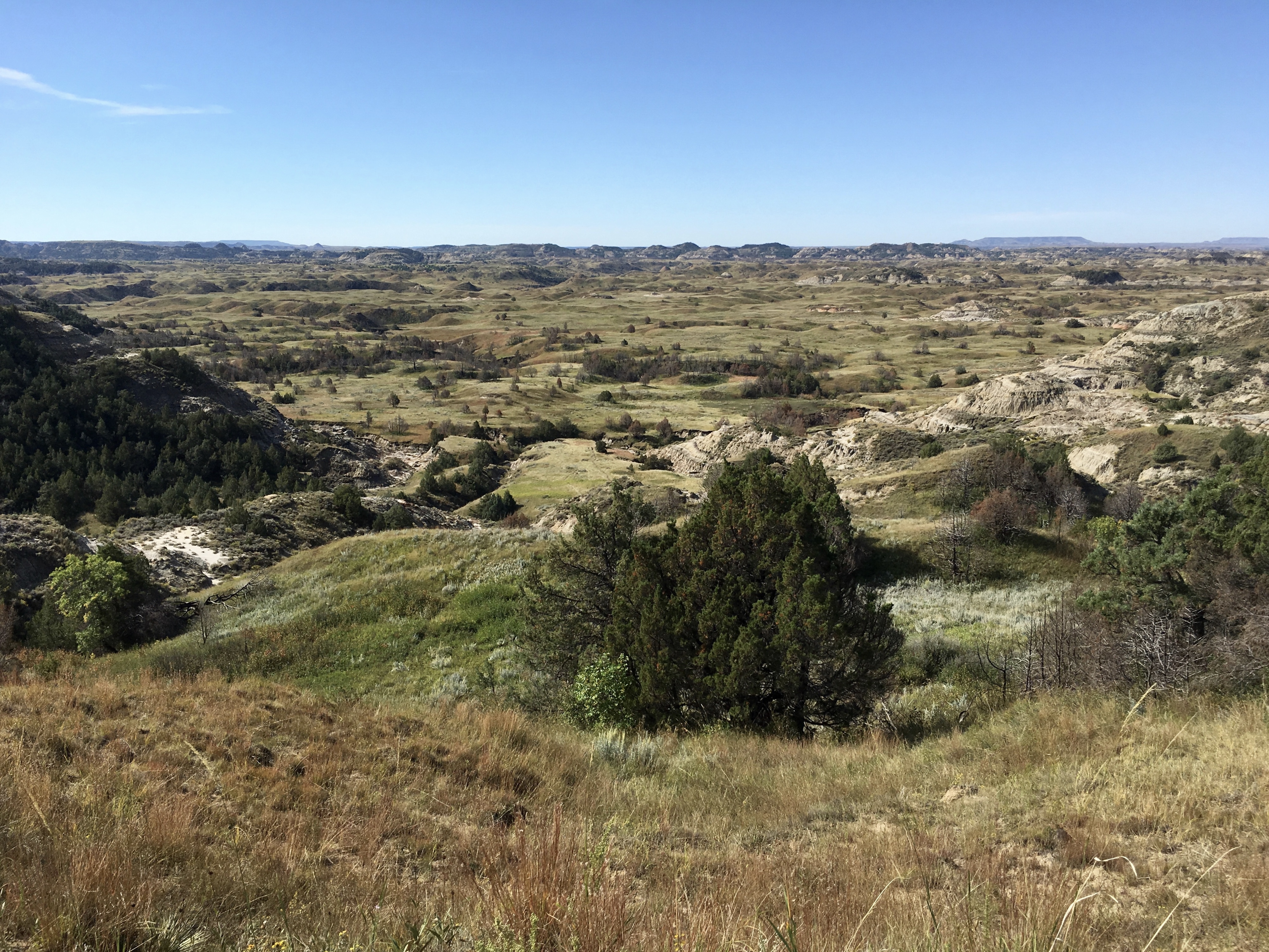
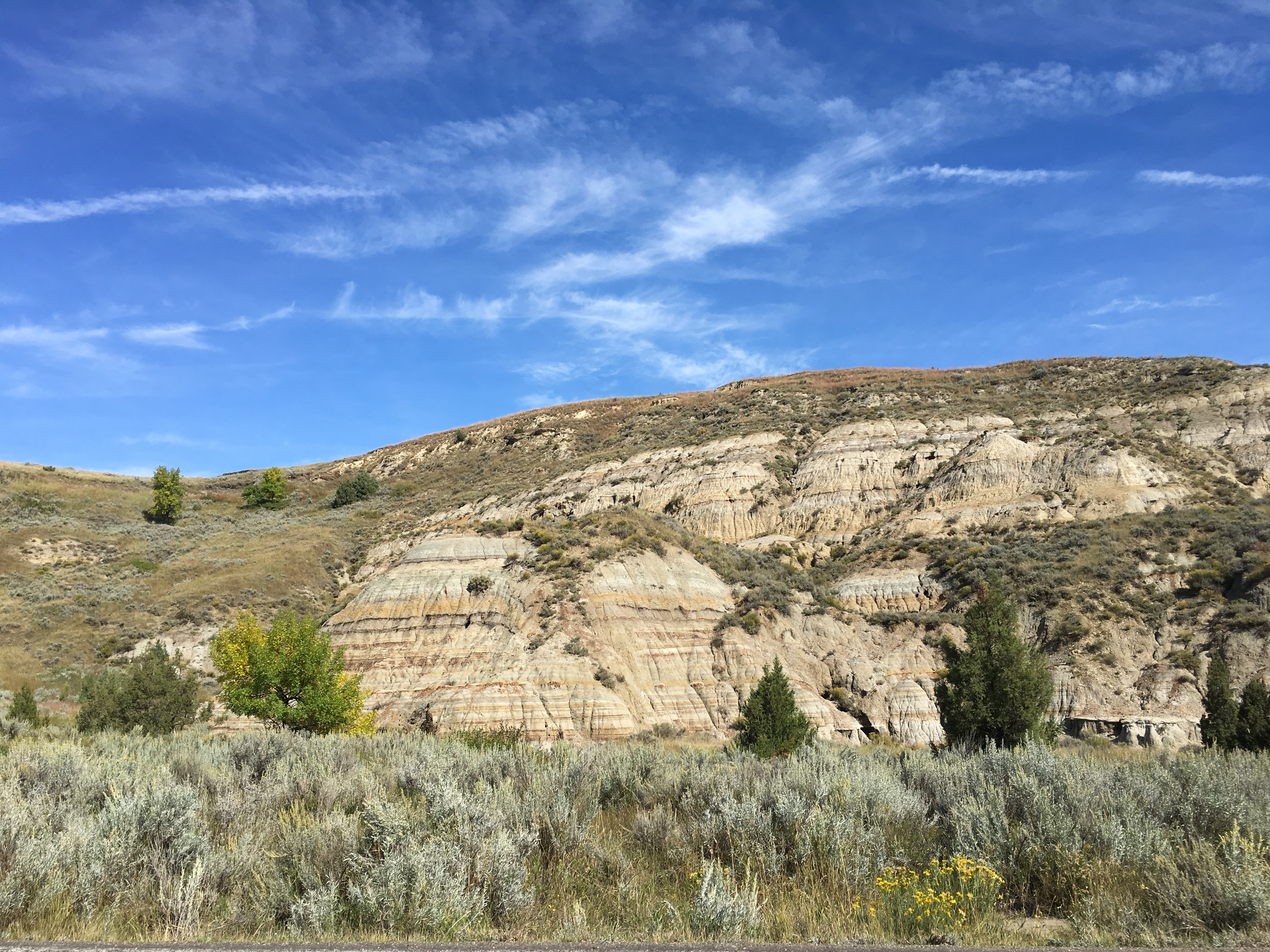
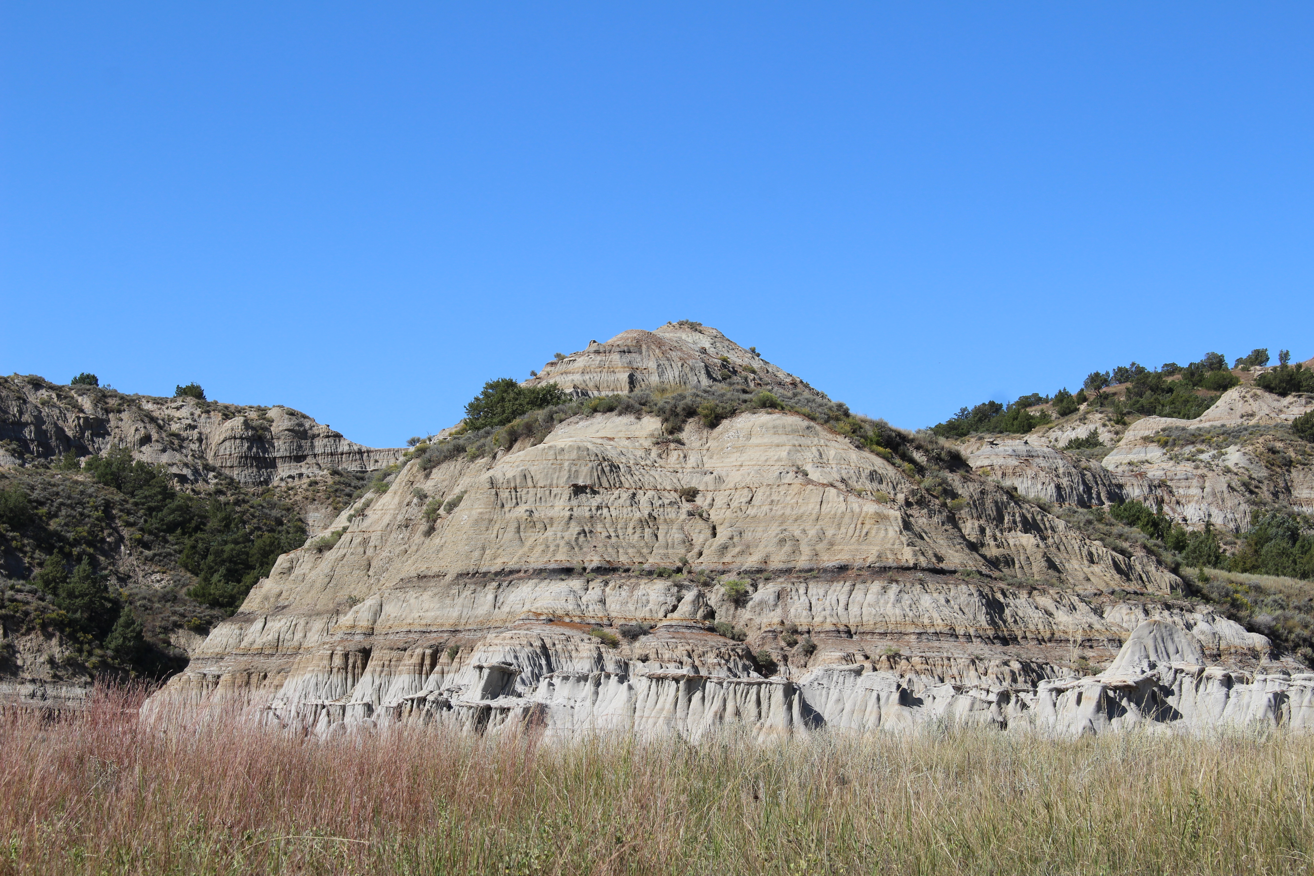
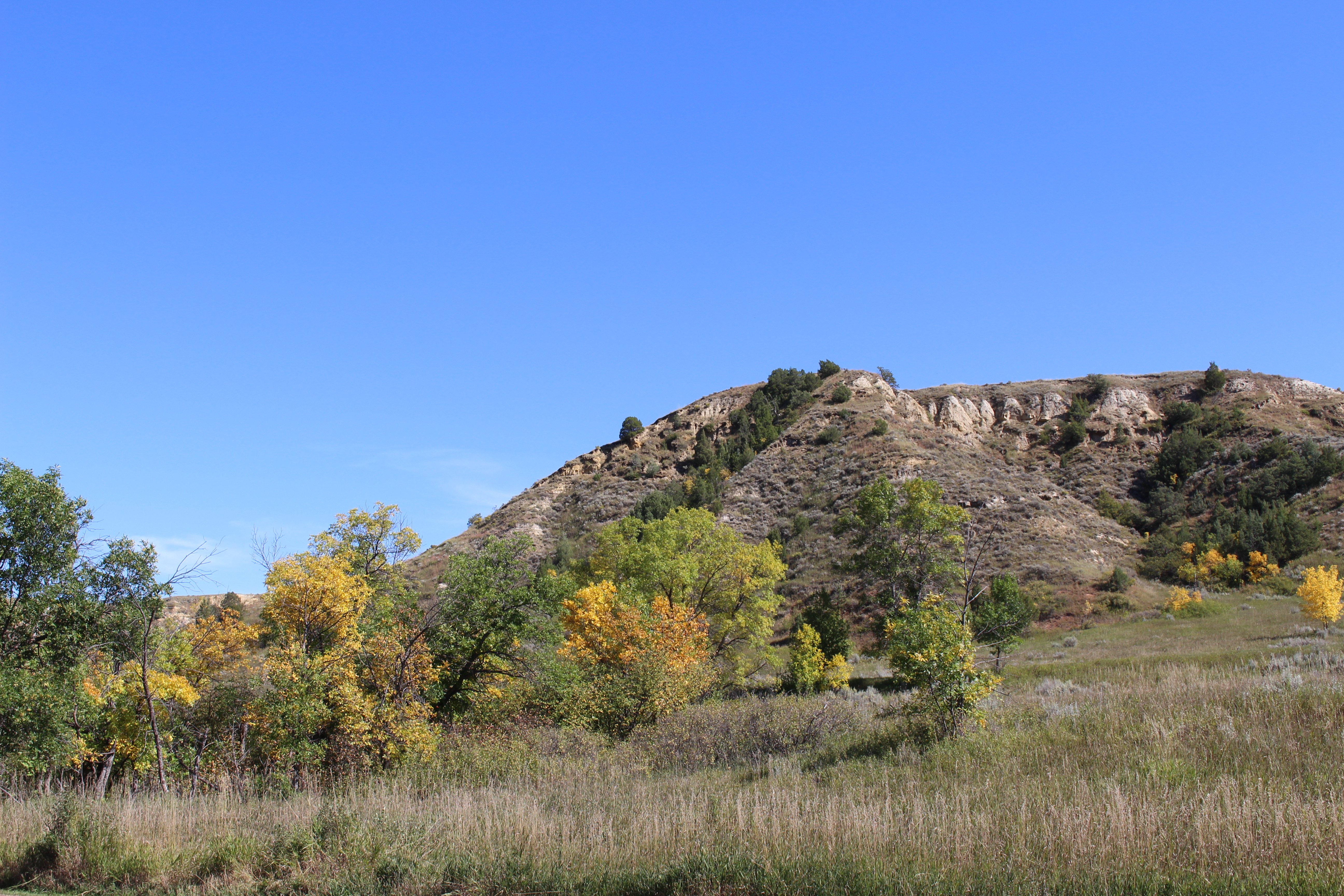
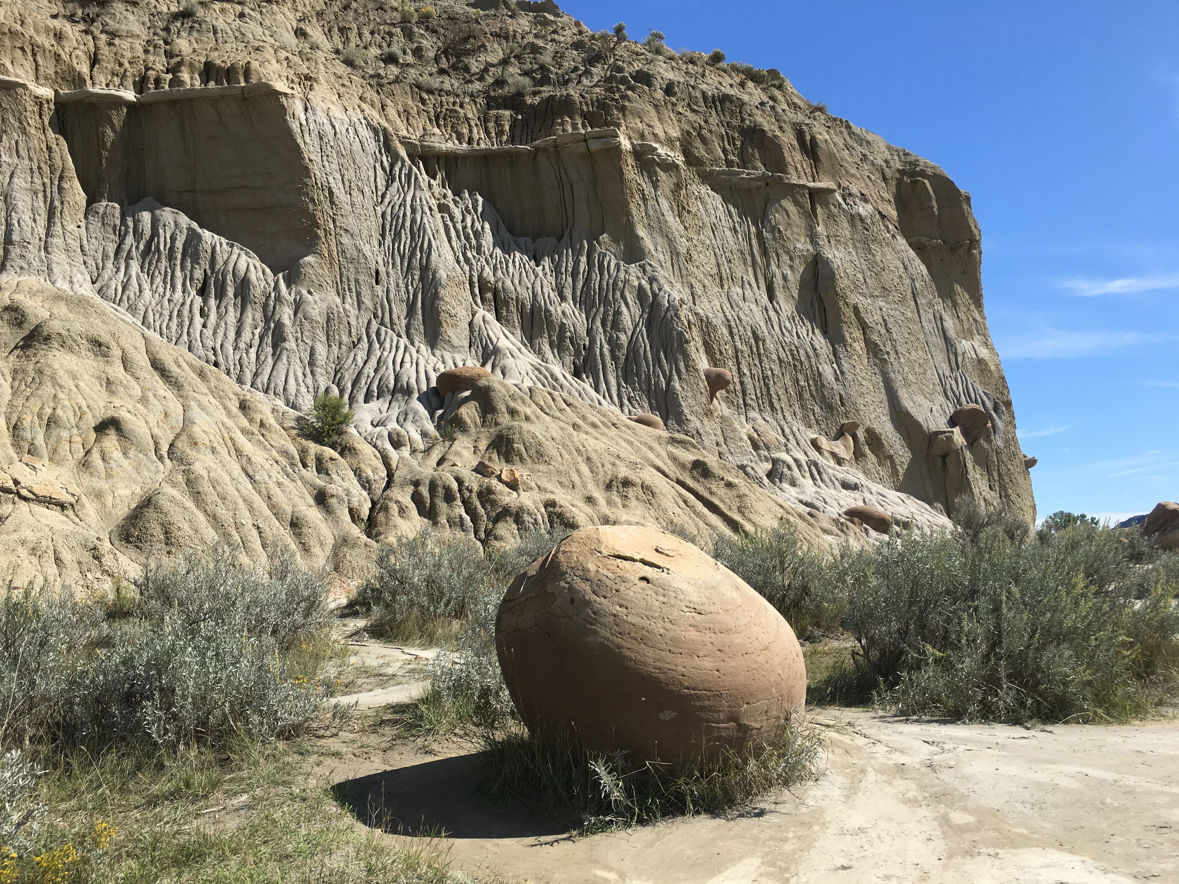
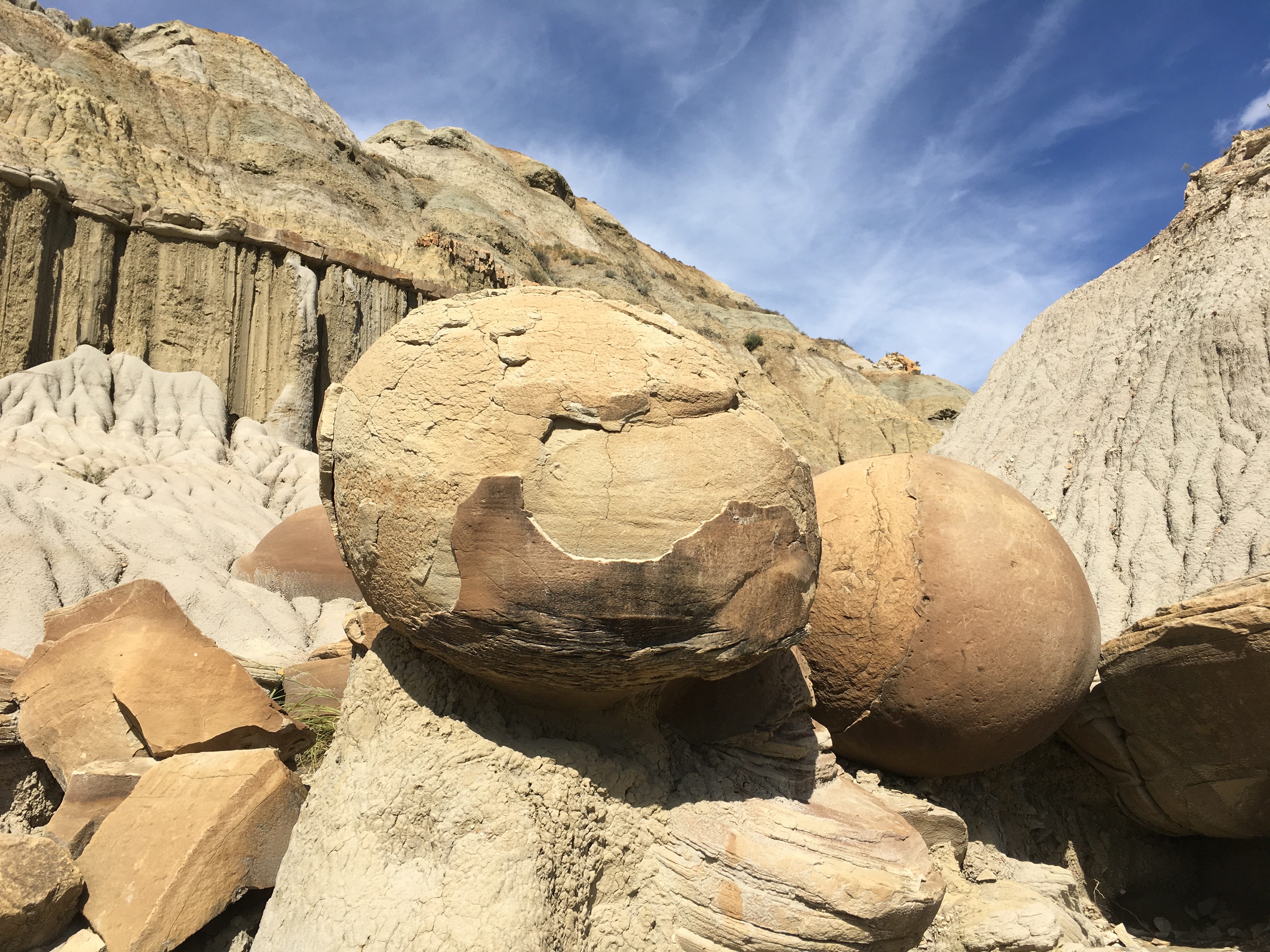
Badlands National Park is famous for its spectacular rock formations, with vivid colored bands that can be traced from pinnacle to pinnacle. The rocks were laid down by oozing mud, river floods, sands from an ancient sea, volcanic ash, and wind-blown dust for more than 70 million years.

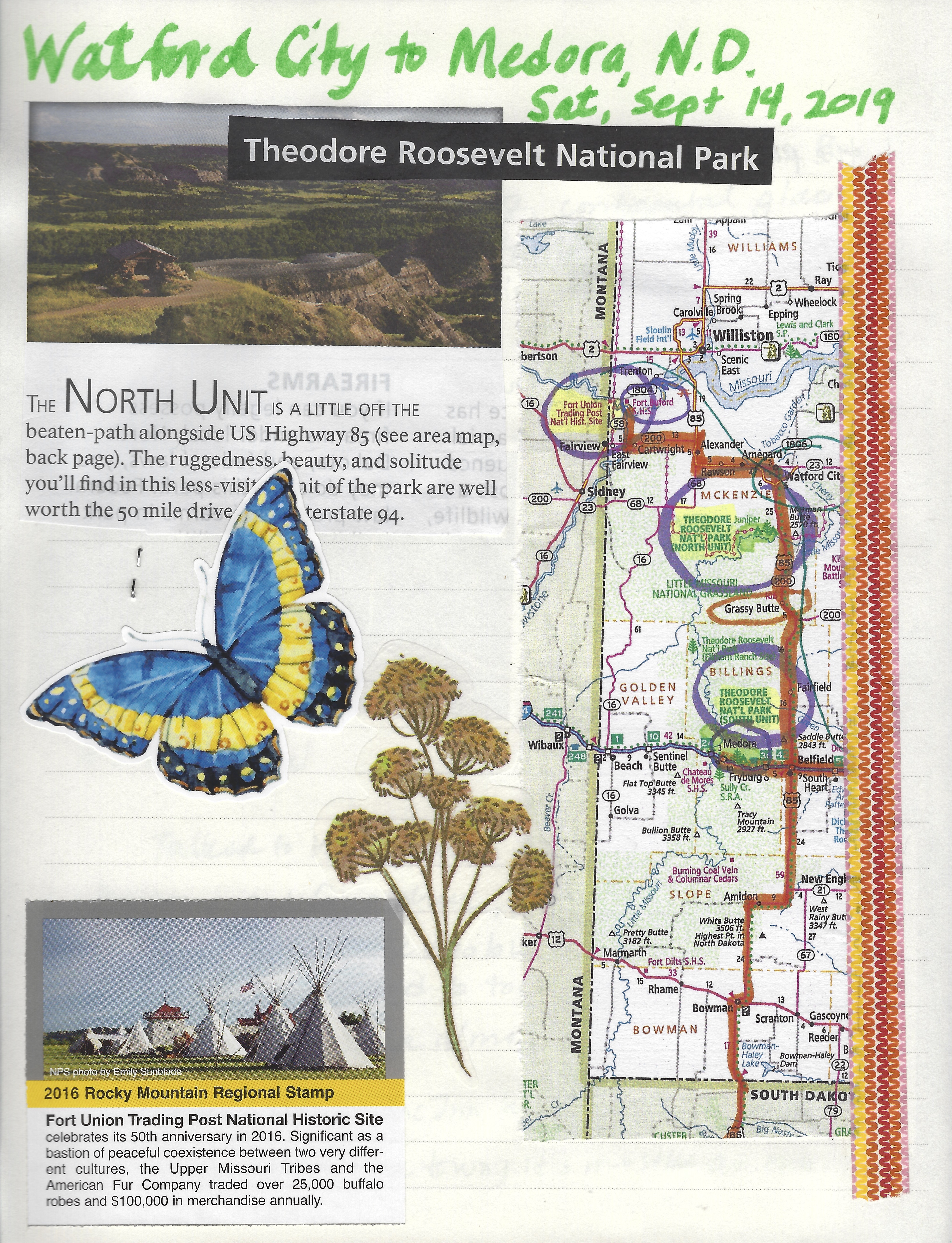
Badlands National Park Northeast Entrance
The Lakota Indians knew the Badlands as mako sica. Early French trappers called the area les mauvaises terres à traverser. Both mean “bad lands.”
“Fancy yourself on the hottest day in summer in the hottest spot of such a place without water — without an animal and scarce an insect astir — without a single flower to speak pleasant things to you and you will have some idea of the utter loneliness of the Bad Lands.” ~ Paleontologist Thaddeus Culbertson
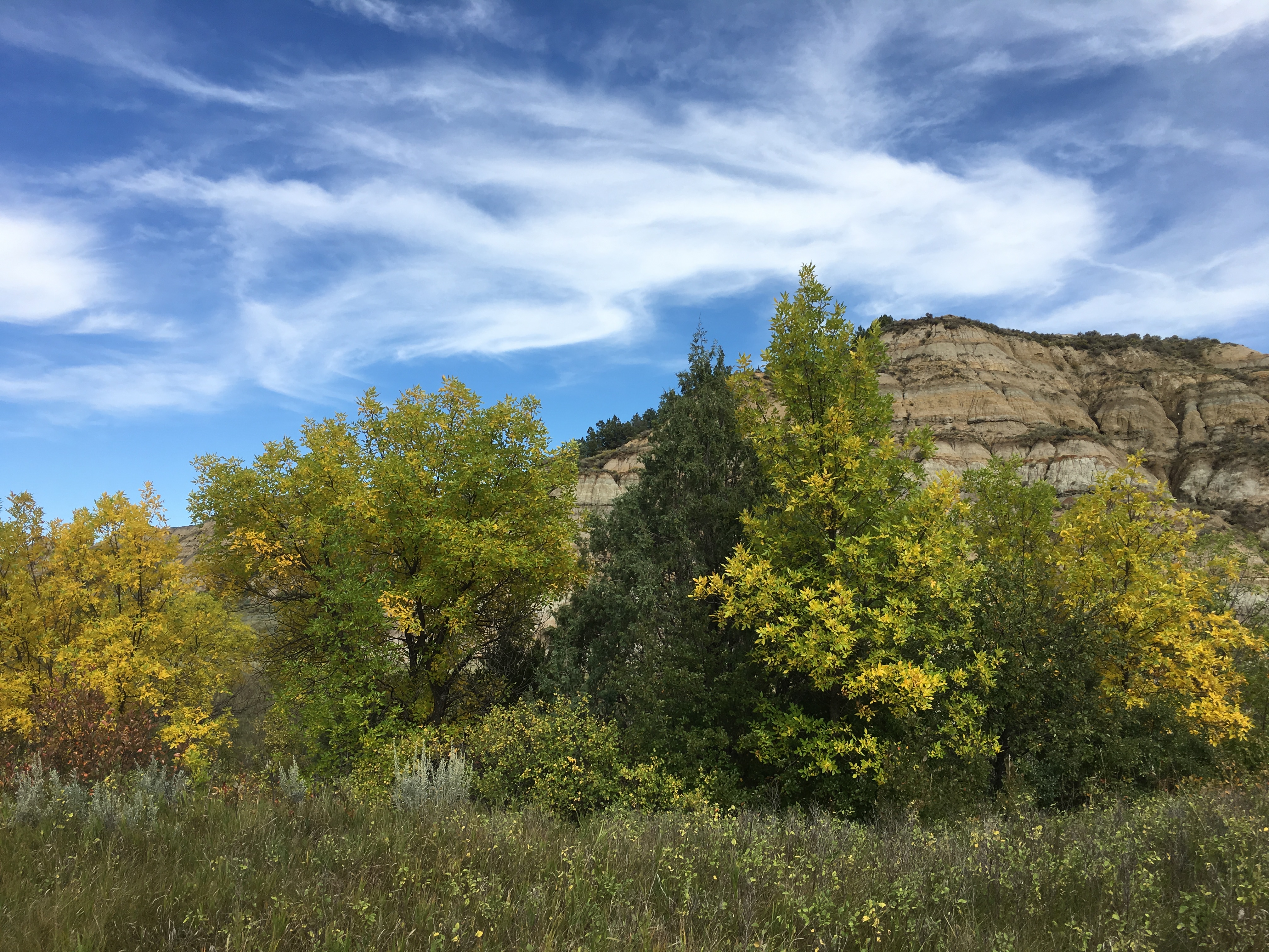
The Badlands is a landscape of extremes. Summer may bring heat and violent lightning storms, along with an abundance of wildlife and wildflowers. Winter may bring cold and unfettered winds, as well as the beauty of moonlight on snow-dusted buttes.
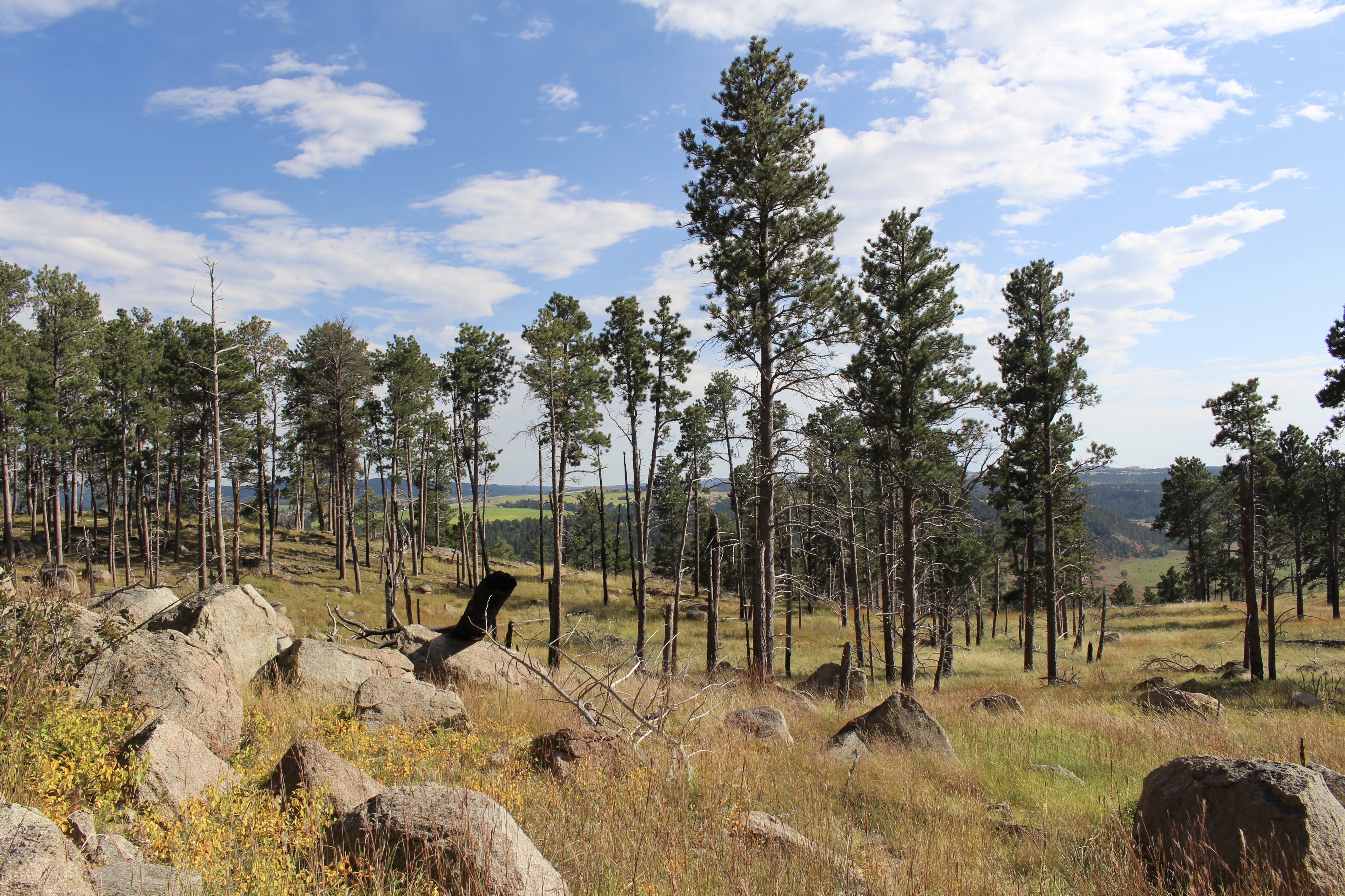
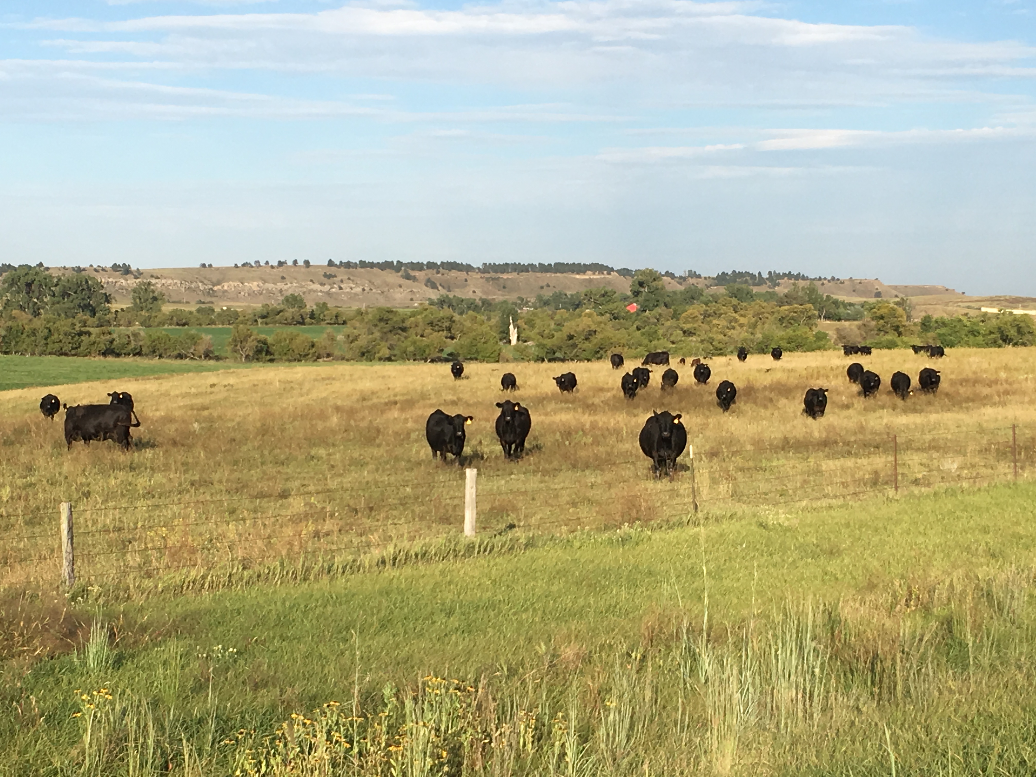
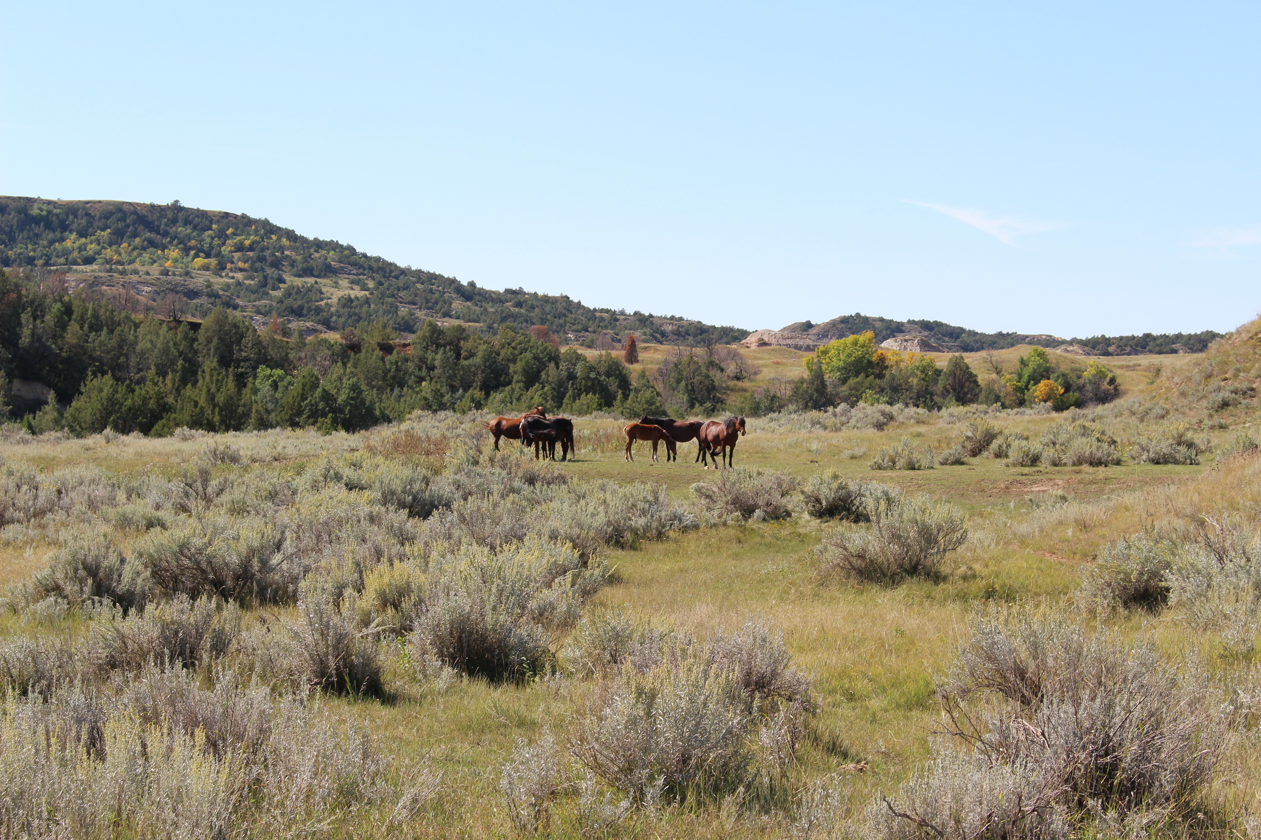
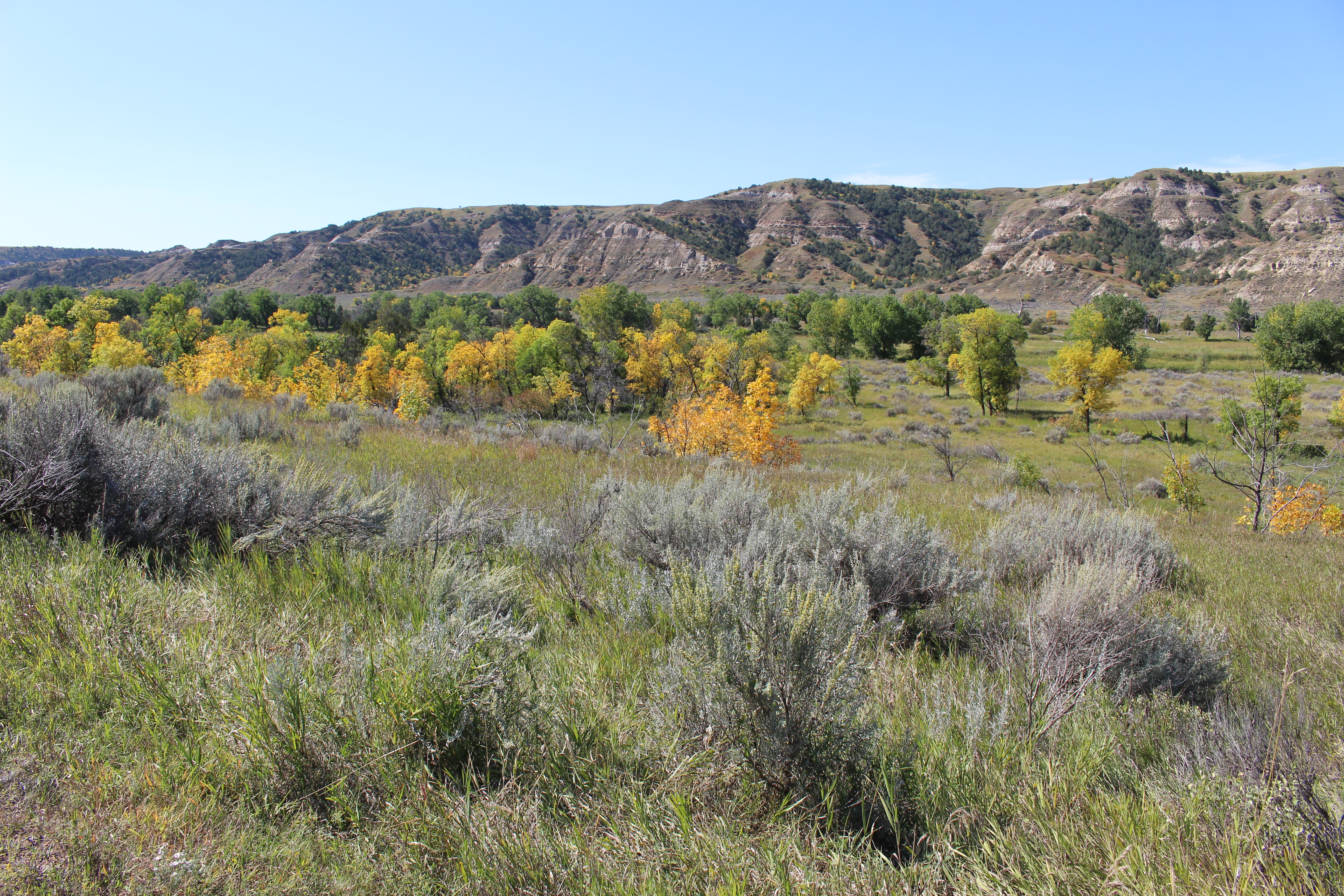
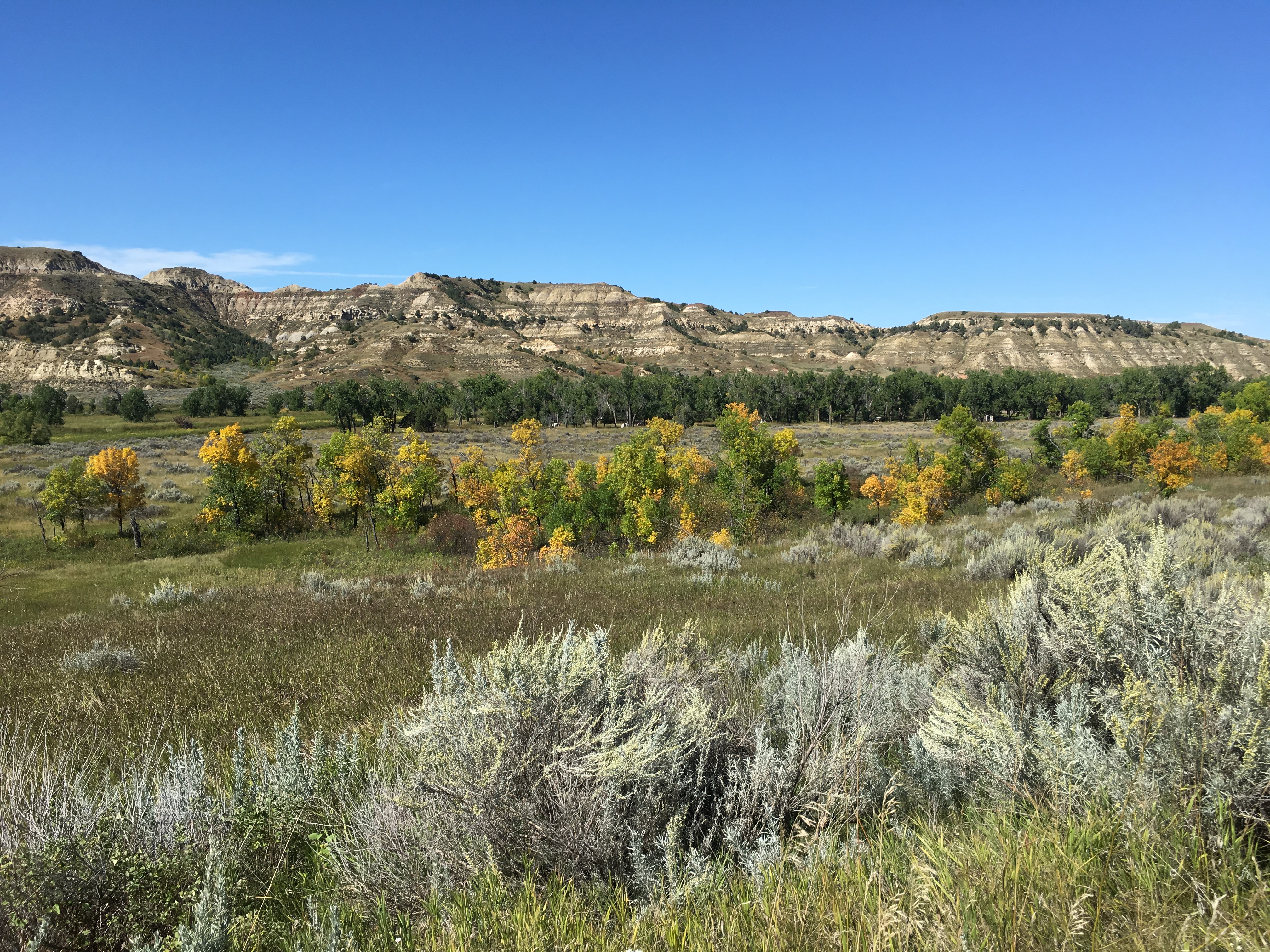
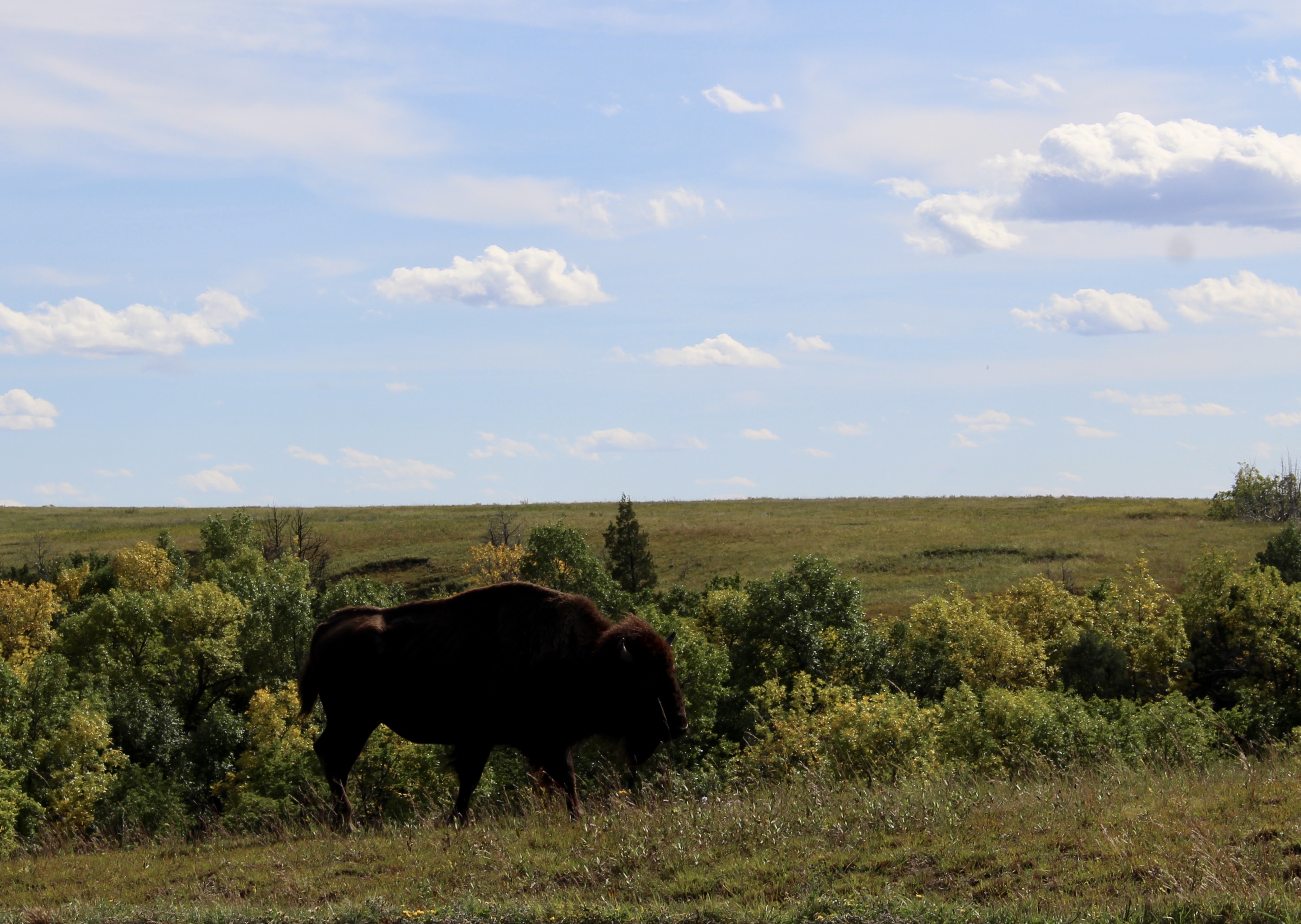
There is a rich and varied plant landscape, including the largest mixed-grass prairie in the National Park System. Wildlife abounds; coyotes, mule deer, butterflies, pronghorn (often called antelope), turtles, vultures, snakes, bluebirds, bison (often called buffalo), coyotes, bighorn sheep, and black-tailed prairie dogs all call the Badlands home.
By 9:40, I stopped at Big Badlands Overlook.


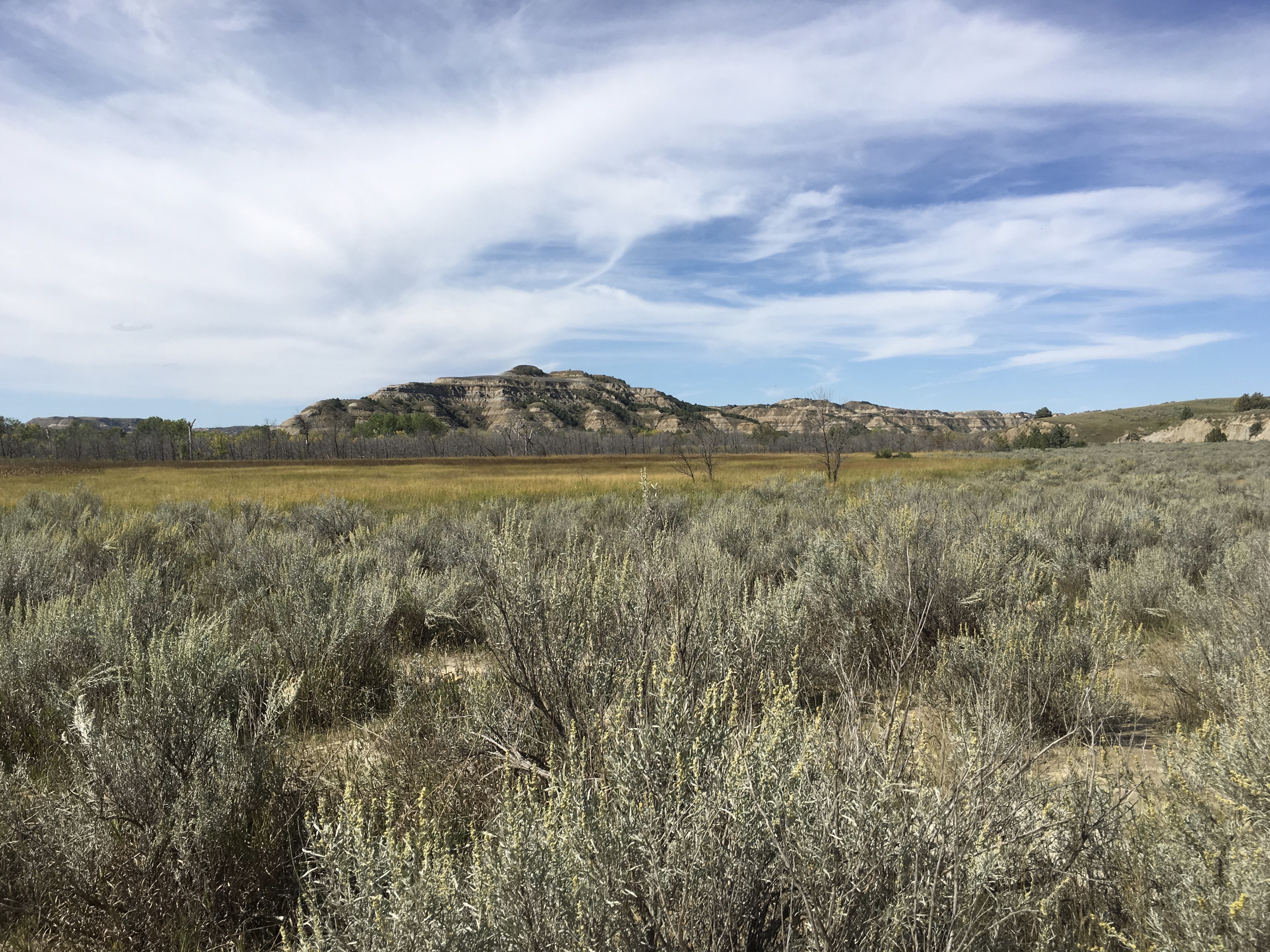
Badlands prairie contains nearly 60 species of grass. It is mixed grass prairie: tall-grass species such as big bluestem and prairie cordgrass, and short-grasses such as blue grama and buffalograss. Hundreds of species of wildflowers and forbs (herbaceous flowering plants other than grass) grow here too, such as Upright Prairie Coneflower. Grasses are able to withstand high winds, longs spells of dry weather, and frequent fires. Over millennia, grazing animals flourished and grasses spread, overtaking ancient forests.
The prairie once sprawled across one-third of North America. Grasslands (prairies) occur in areas that are too dry to support trees, but too wet to be deserts.
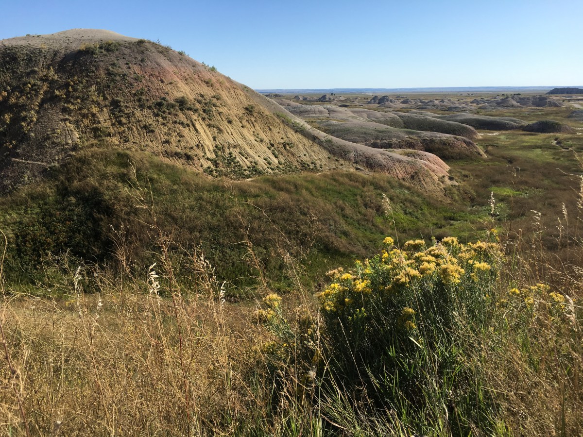
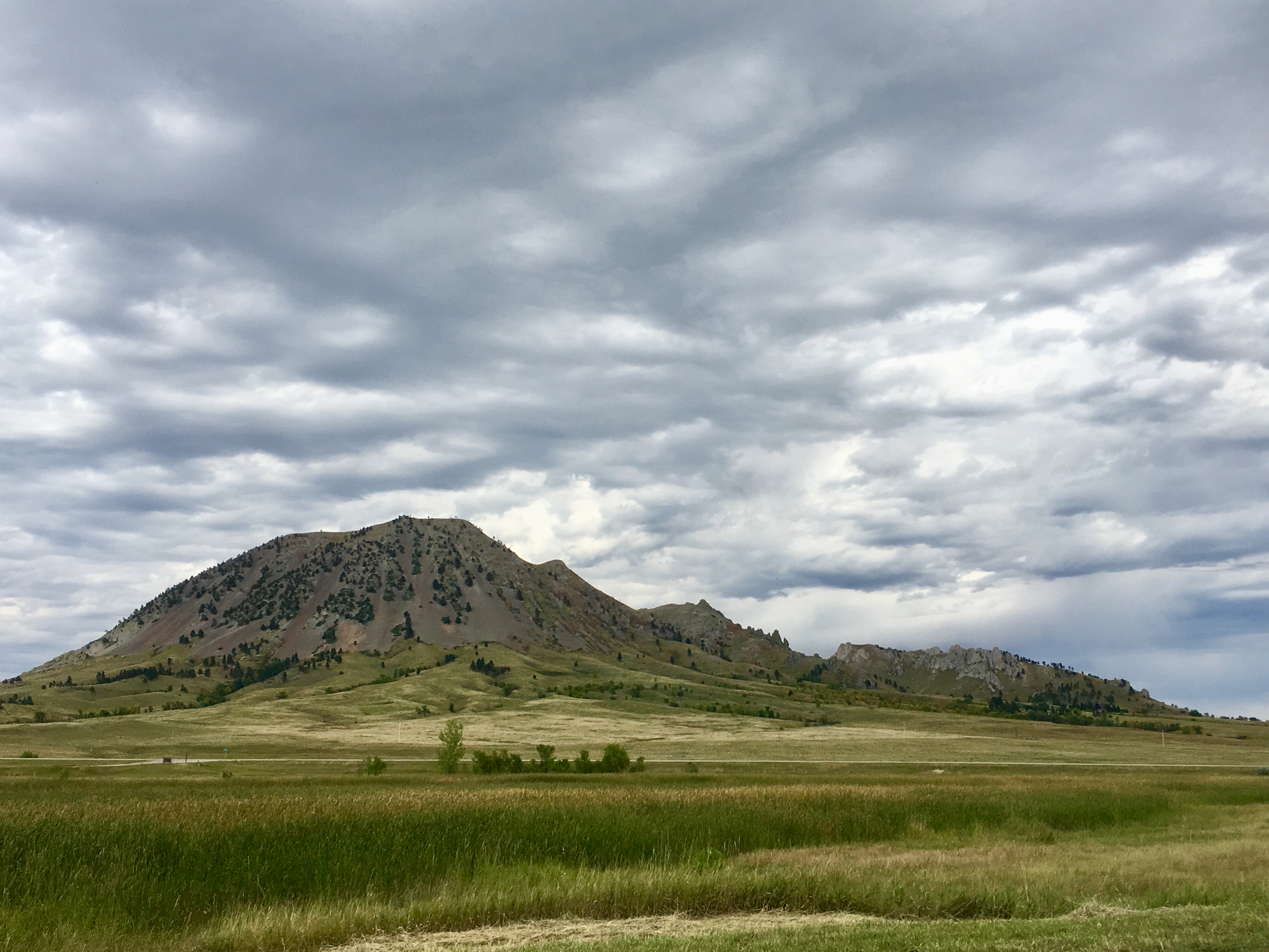
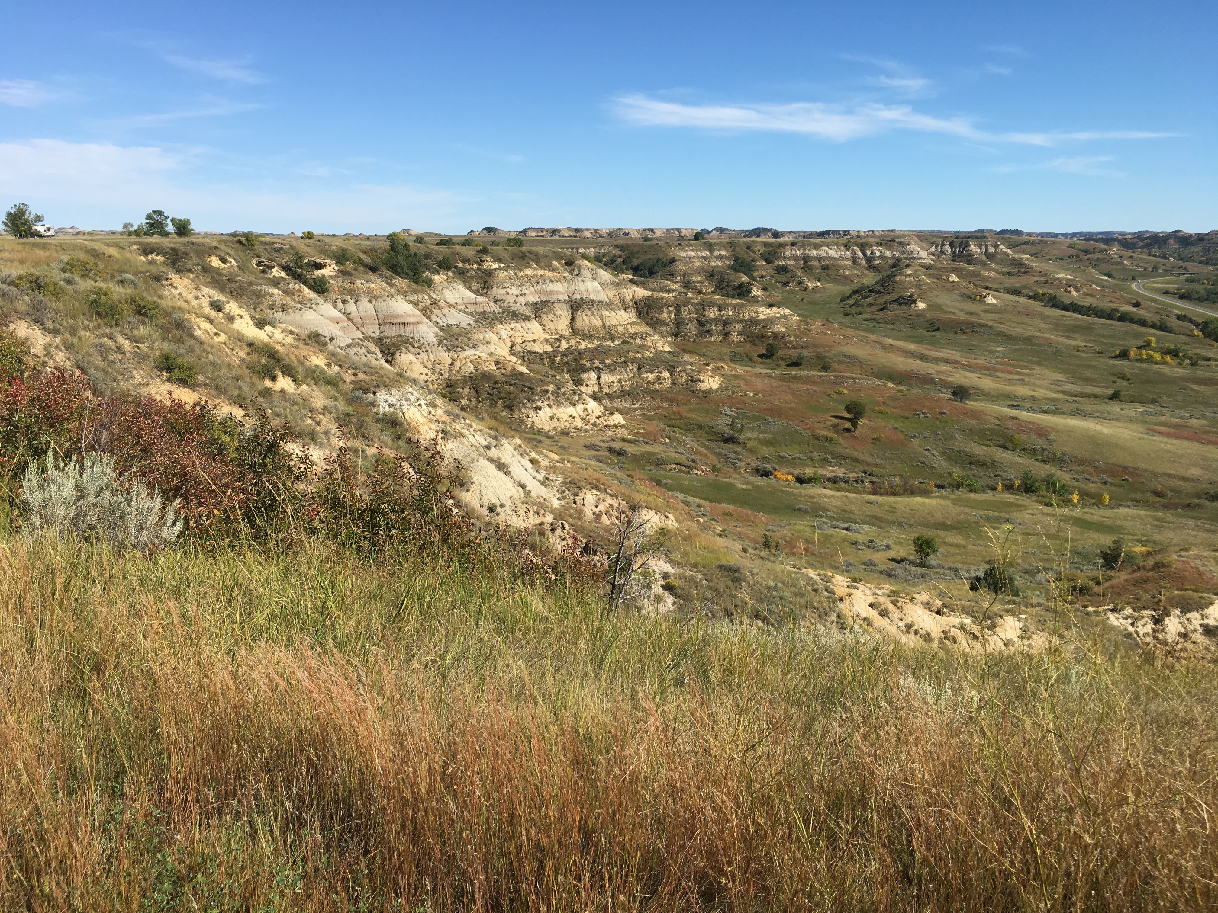
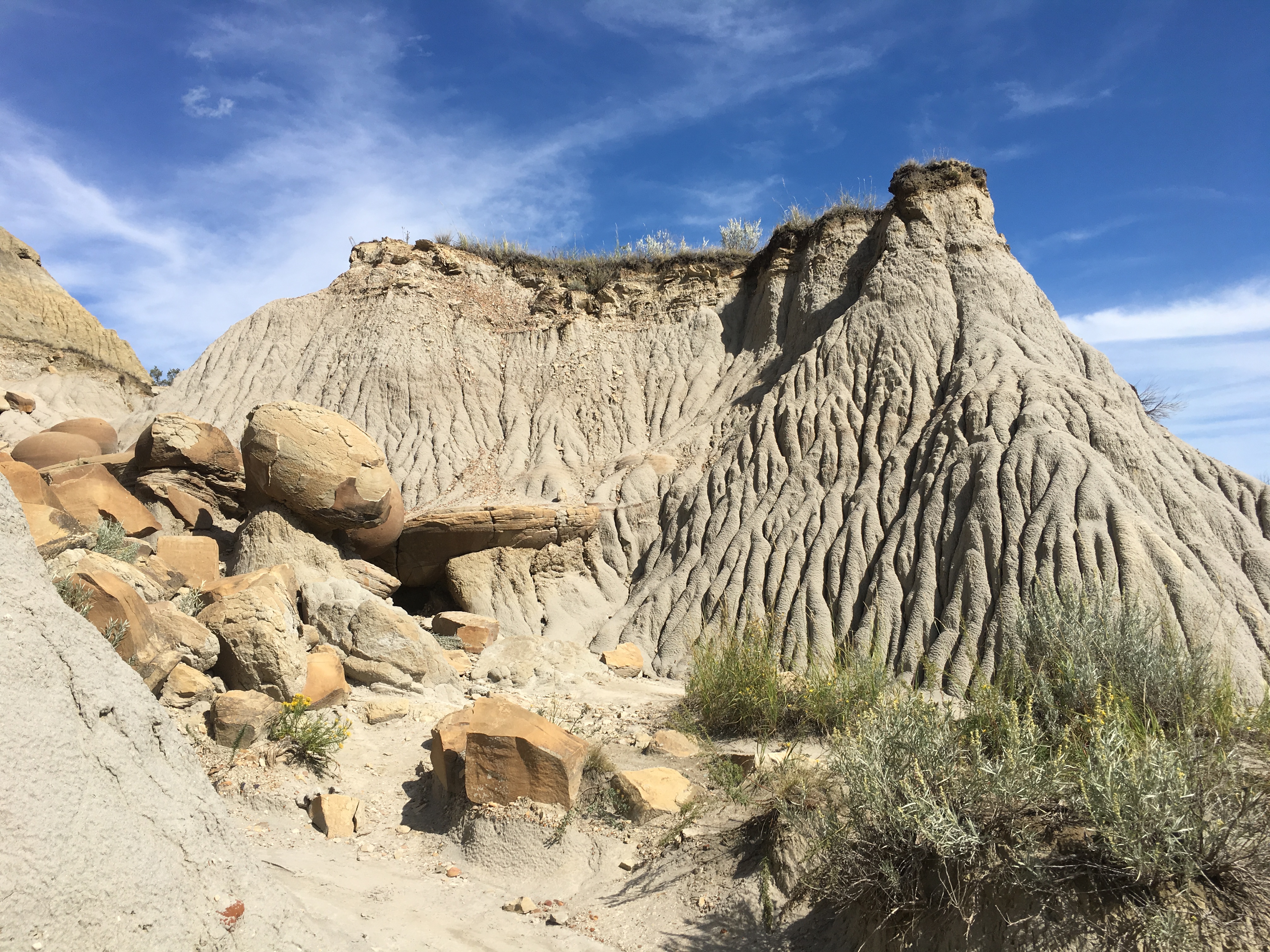
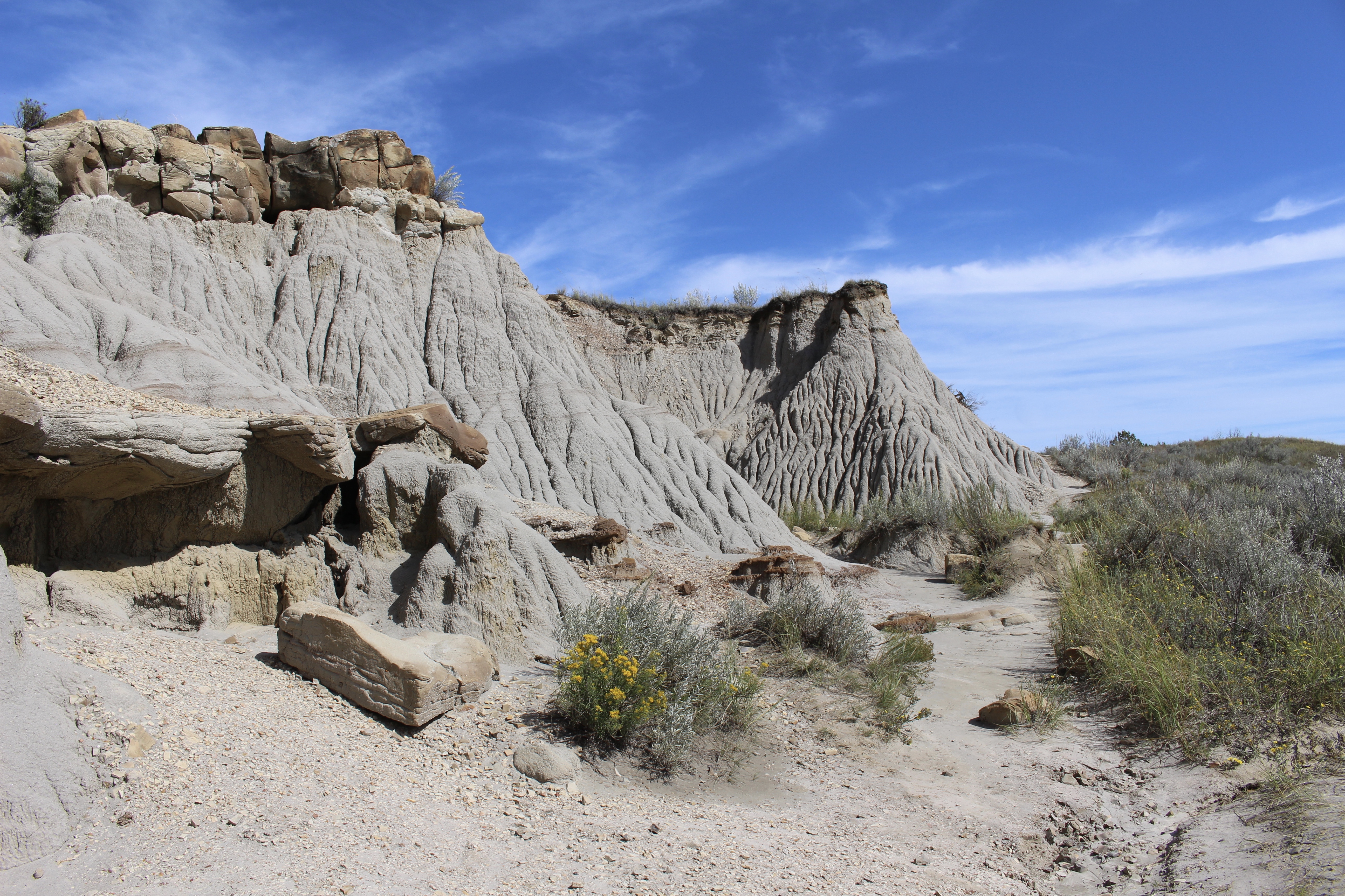
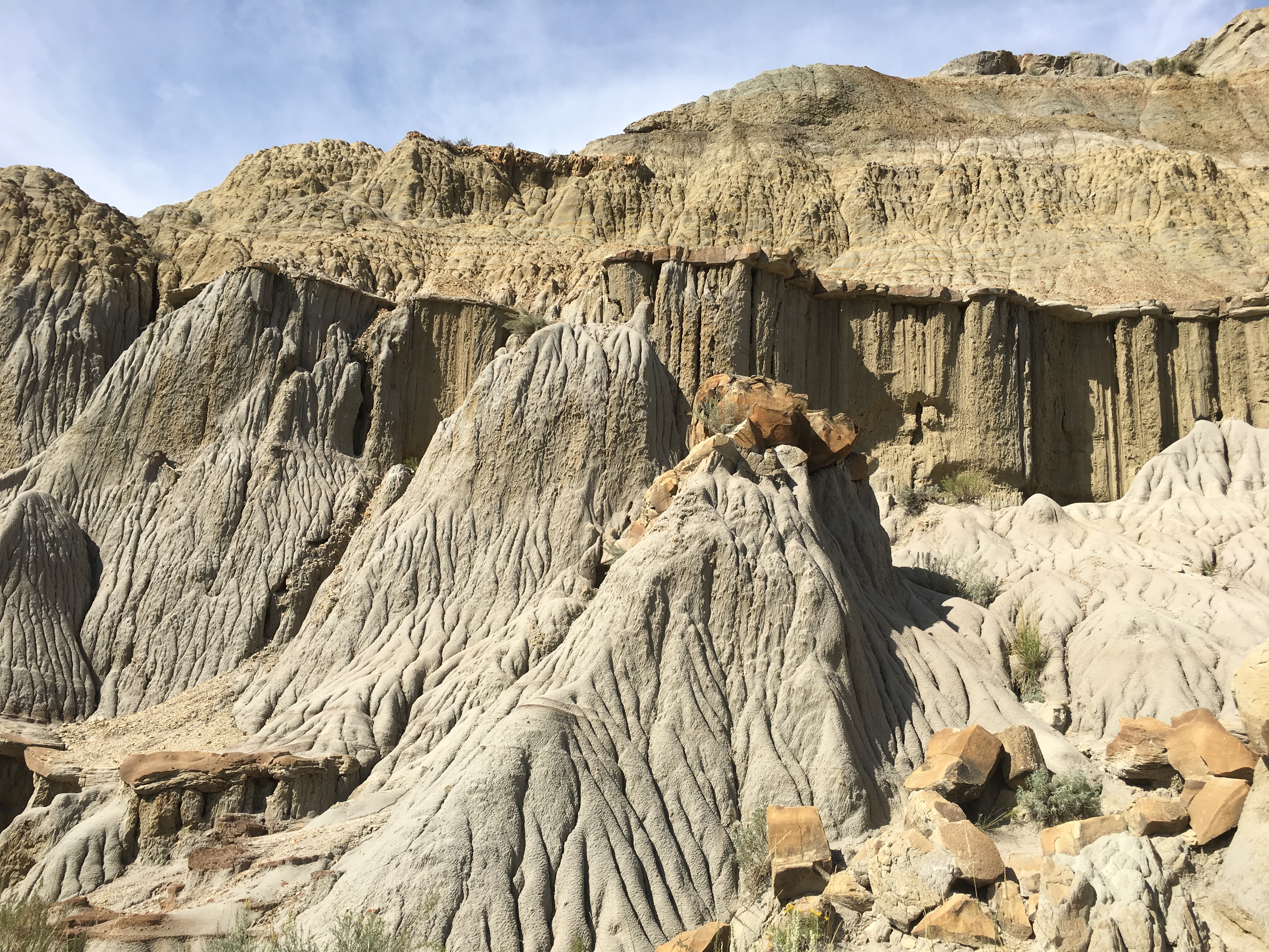
The Badlands Wall constantly retreats north as it erodes and washes into the White River Valley below. The Wall, an intricately carved cliff, divides the upper from the lower prairie.
The Wall is more than 60 miles long. It is the geologic feature around which park boundaries were drawn. The Loop Road follows the Wall, sometimes dipping to the lower prairie, then climbing back to the rim.
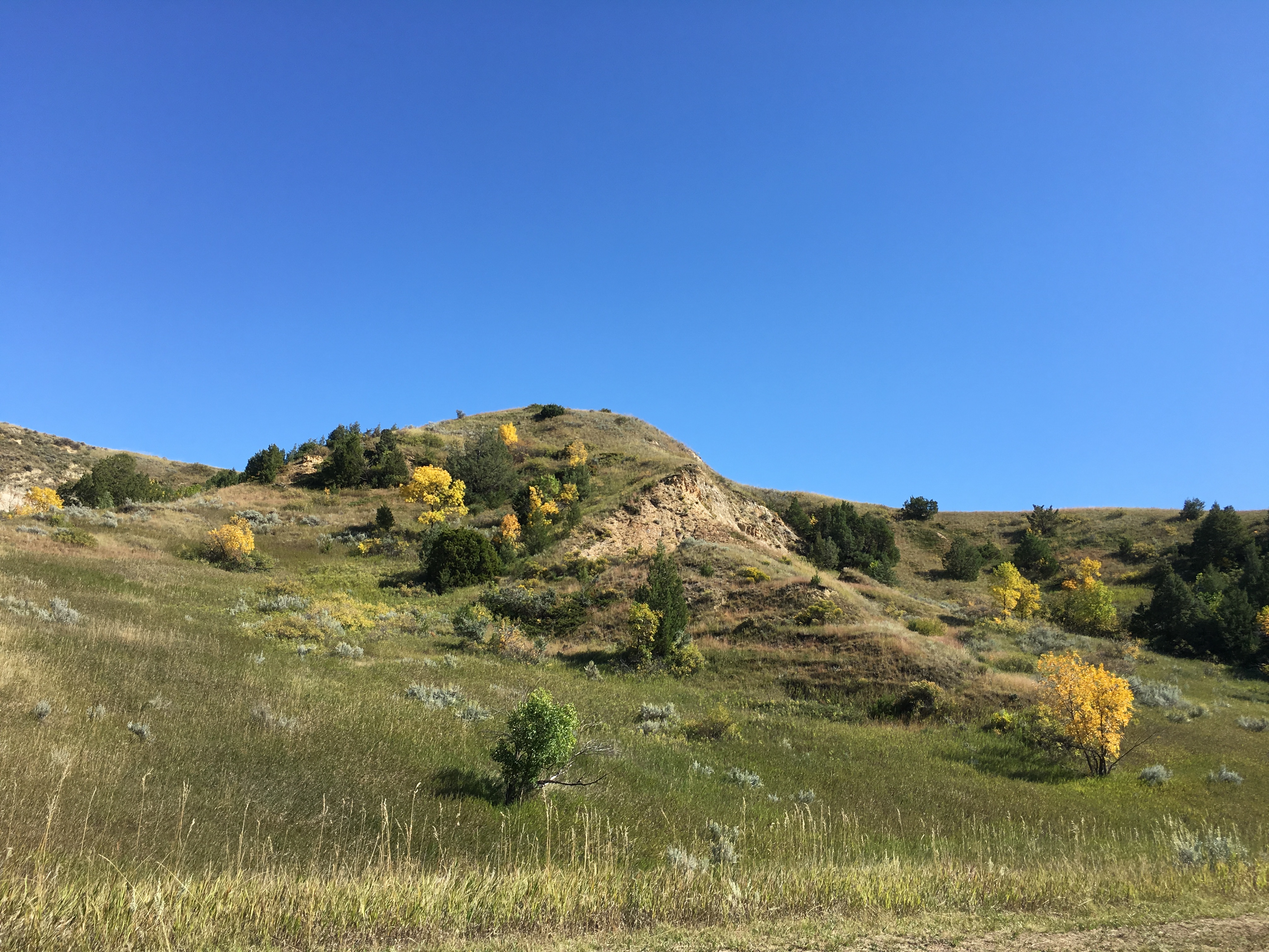
The Wall rises above Badlands’ Prairie landscape in eerie grandeur. Relatively recently in geographic time, erosion went to work on sedimentary rock layers that had accumulated in today’s park area over millions of years, creating fantastic landforms. Erosion still is feverishly at work on the Wall, removing at least an inch from the escarpment’s rock surface every year.
I took the Door Trail, which was .75 miles round trip. It included an accessible 1/4 mile boardwalk that led through a break in the Badlands Wall known as “The Door” and to a view of the Badlands. From there, the maintained trail ended. I went off trail a bit but lost sight of the yellow poles and was afraid of getting lost, so I didn’t venture too far.


I then took the adjacent 0.25 mile round trip Window Trail, a short trail that led to a natural window in the Badlands Wall with a view of an intricately eroded canyon.


I skipped the Notch Trail because it involved climbing a ladder.
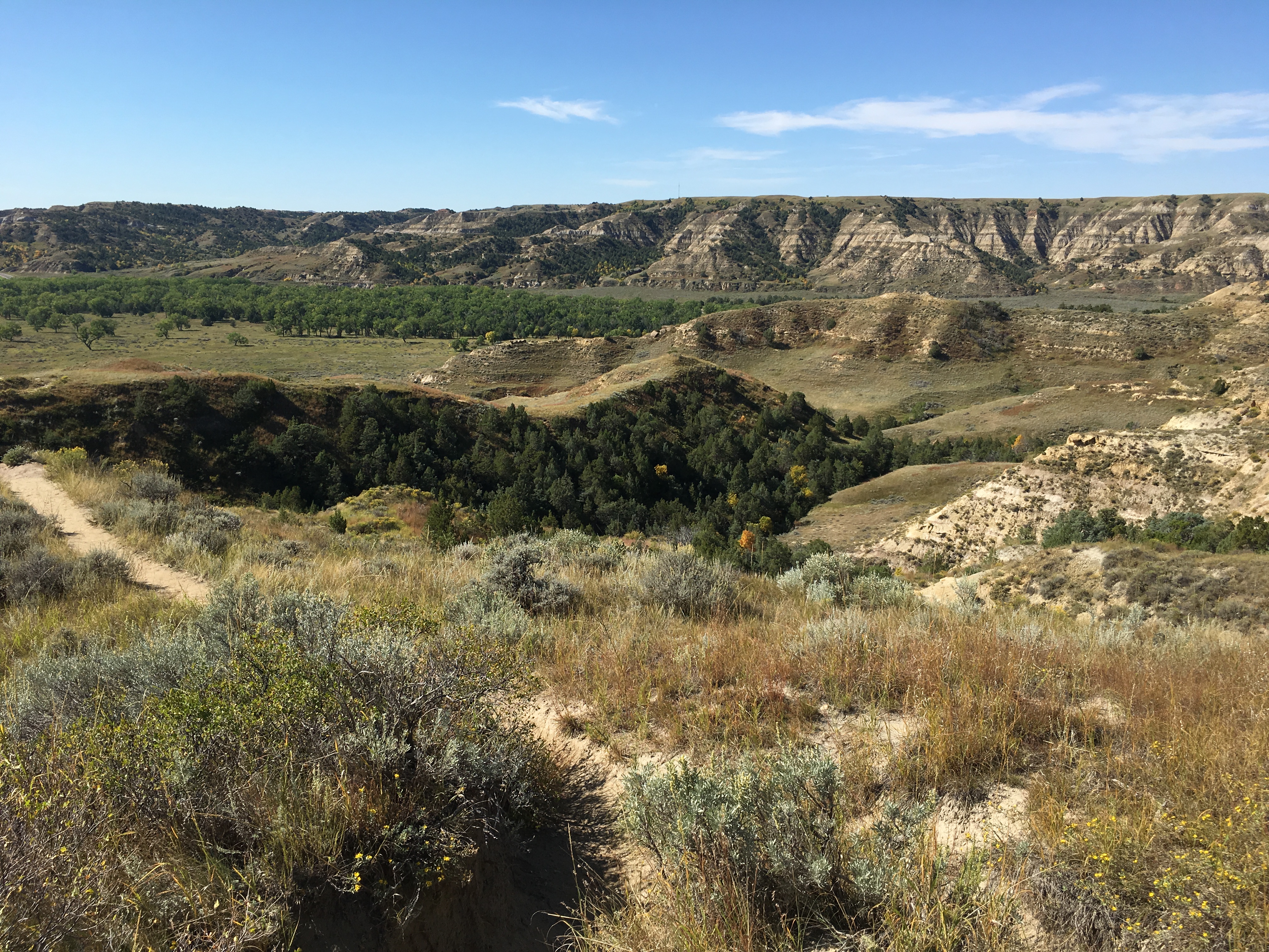
Along Badlands Loop Road
I then walked the moderate Cliff Shelf Trail, 0.5 miles round trip. This loop trail followed boardwalks and climbed stairs through a juniper forest perched along the Badlands Wall. It climbed about 200 feet in elevation. Signs warned: Beware Rattlesnakes!
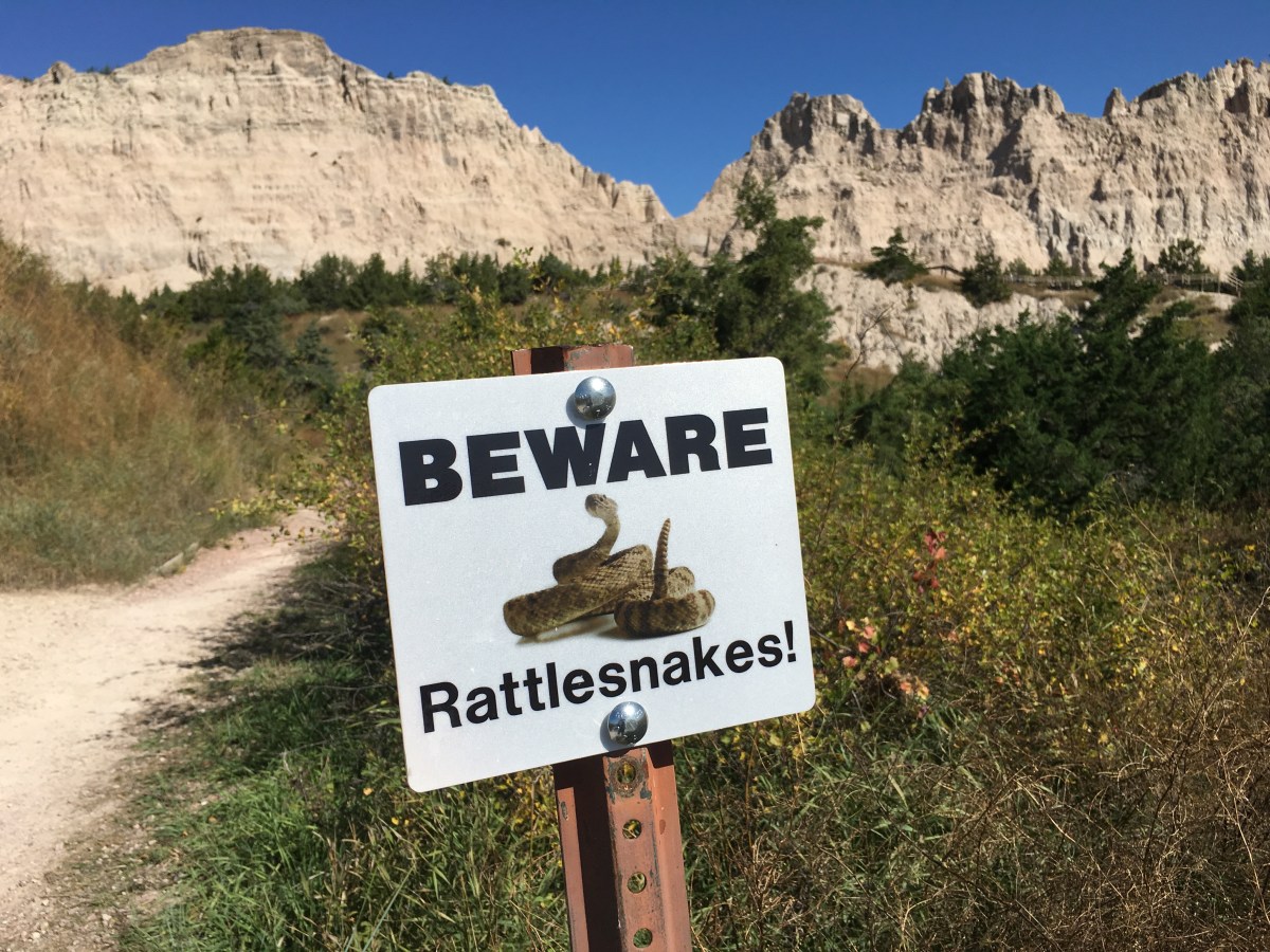
Beware! Rattlesnakes
Water is scarce in the Badlands, which gets less than 16 inches of precipitation per year. The bowl-like Cliff Shelf provides more moisture than commonly found in this desolate land.

Cliff Shelf Trail

Cliff Shelf Trail


I continued driving to the Ben Reifel Visitor Center.


At the Ben Reifel Visitor Center, I saw a film about all the wildlife in the Badlands, including bighorn sheep, bison, burrowing owls, and prairie dogs. I looked through the exhibits about ancient life and the reintroduction of the black-footed ferret, who eats prairie dogs.
In 1981, black-footed ferrets, thought to be extinct since the last captive died in 1979, were discovered alive in the wilds of Wyoming. These relatives of weasels are among the rarest mammals on Earth. They depend on prairies as their prime habitat and prairie dogs as their food source. But shrinking prairie habitat, destruction of prairie dog colonies by humans, and spread of diseases left the ferrets close to extinction.
Soon after the ferrets were discovered, disease ran through the colony and by 1985, only 18 ferrets were still alive. The U.S. Fish and Wildlife Service and Wyoming authorities captured the ferrets and established seven breeding facilities, where the ferrets flourished and multiplied. In the fall of 1994, 36 black-footed ferrets were released into the park. In 1995, two litters of ferrets were born in the wild, an important milestone. More captive-raised ferrets were released through 1999 with the goal of establishing a self-sustaining population. Today biologists are optimistic about the continued success of ferrets in the region.
There were also exhibits about life in the distant past. About 75 million years ago, the Earth’s climate was warmer than it is now, and a shallow sea covered the area we now call the Great Plains. Once teeming with life, in today’s Badlands, the bottom of that sea appears as gray-black sedimentary rock called Pierre (peer) shale. This is a rich source of invertebrate fossils: ancient fish, mosasaurs (giant marine lizards), pterosaurs (flying reptiles), Archelon (enormous sea turtles), and Hesperonis (a diving bird something like a modern loon). Rocks have yielded very few marine creatures with backbones, but scientists don’t know why.
As eons passed, land masses pushed upward, forming the ancestral Rocky Mountains, causing the sea to retreat and drain away. The climate at that time was humid and warm, with abundant rainfall. A dark and dense tropical forest developed on the land, flourishing for millions of years. Eventually the climate cooled and dried. The forest gave way to savannah, then to grassland much like the present-day landscape.
The mosasaur, a giant marine lizard, is shown below in the shallow Late Cretaceous sea, propelled by its paddle-like flippers and long snaky tail. Growing to a length of 30 feet and equipped with sharp, curved teeth to grasp its kill, the mosasaur fed on smaller mosasaurs, sea turtles, fish, and ammonites, which resembled the modern nautilus. Fossils of mosasaurs and their prey have all been found at Badlands National Park.

Mosasaur
In the ancient forests, the titanothere shown below shoves aside undergrowth with its “horns” to get at the softest leaves and shoots. Alligators prowl and tortoises bask in the sun. A flock of oreodonts, sheep-like mammals, browses on the greenery, keeping a wary eye on two predators, Hesperocyon and the Hyaenodon, another large carnivore.

titanothere
The Hyaenodon could probably tackle some of the largest animals that lived in the Badlands. Despite its name, it is not related to the hyena but has teeth that are similar. Archaeotherium was a large piglike animal that hunted small animals and also ate plant matter and carrion when available. Some individuals grew as tall as five feet at the shoulder.
The Badlands played an integral part in the evolution of the horse. Mesohippus, a three-toed horse about the size of a collie, lived here 30 million years ago. Its teeth indicate that it ate tougher, grassier plants.


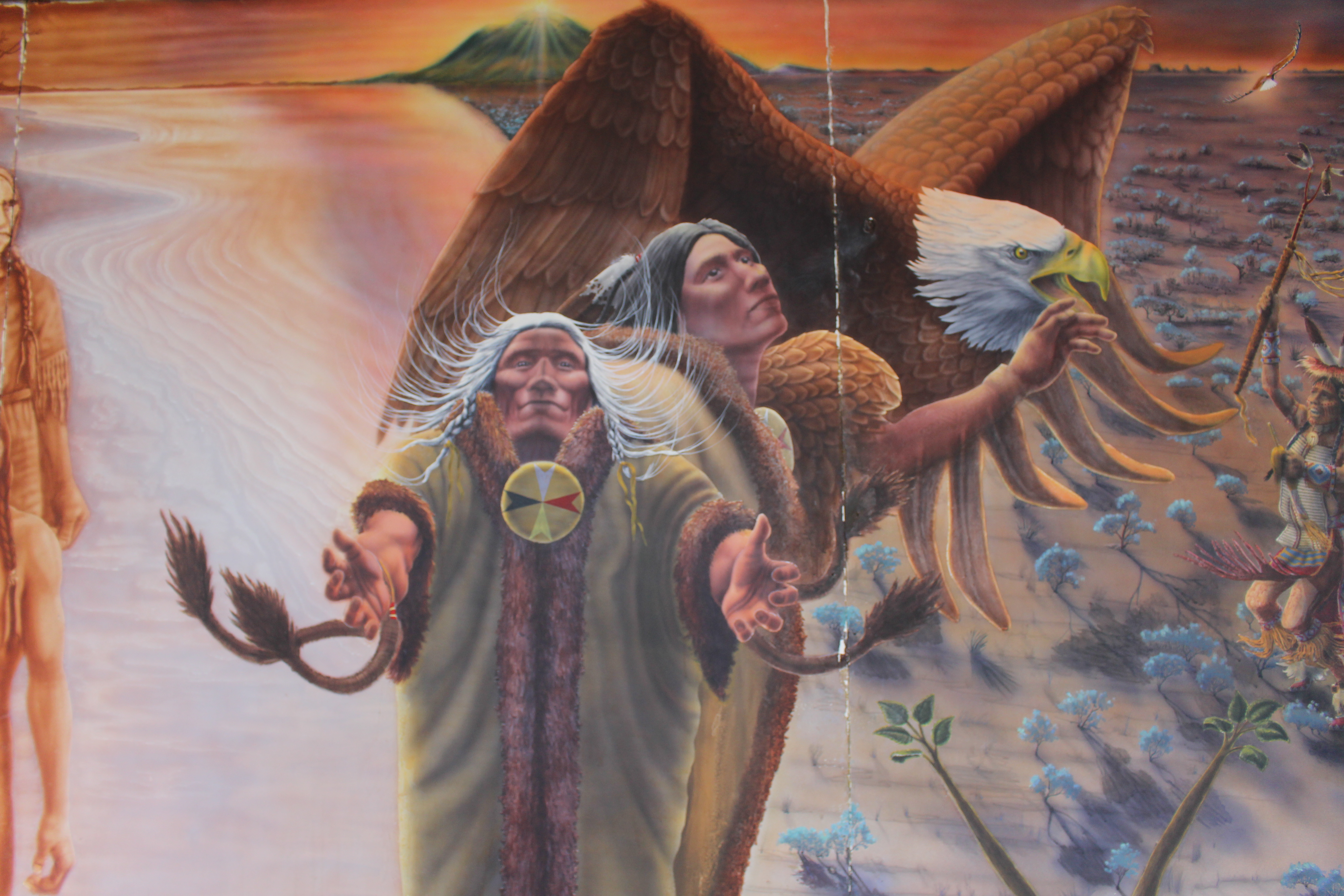
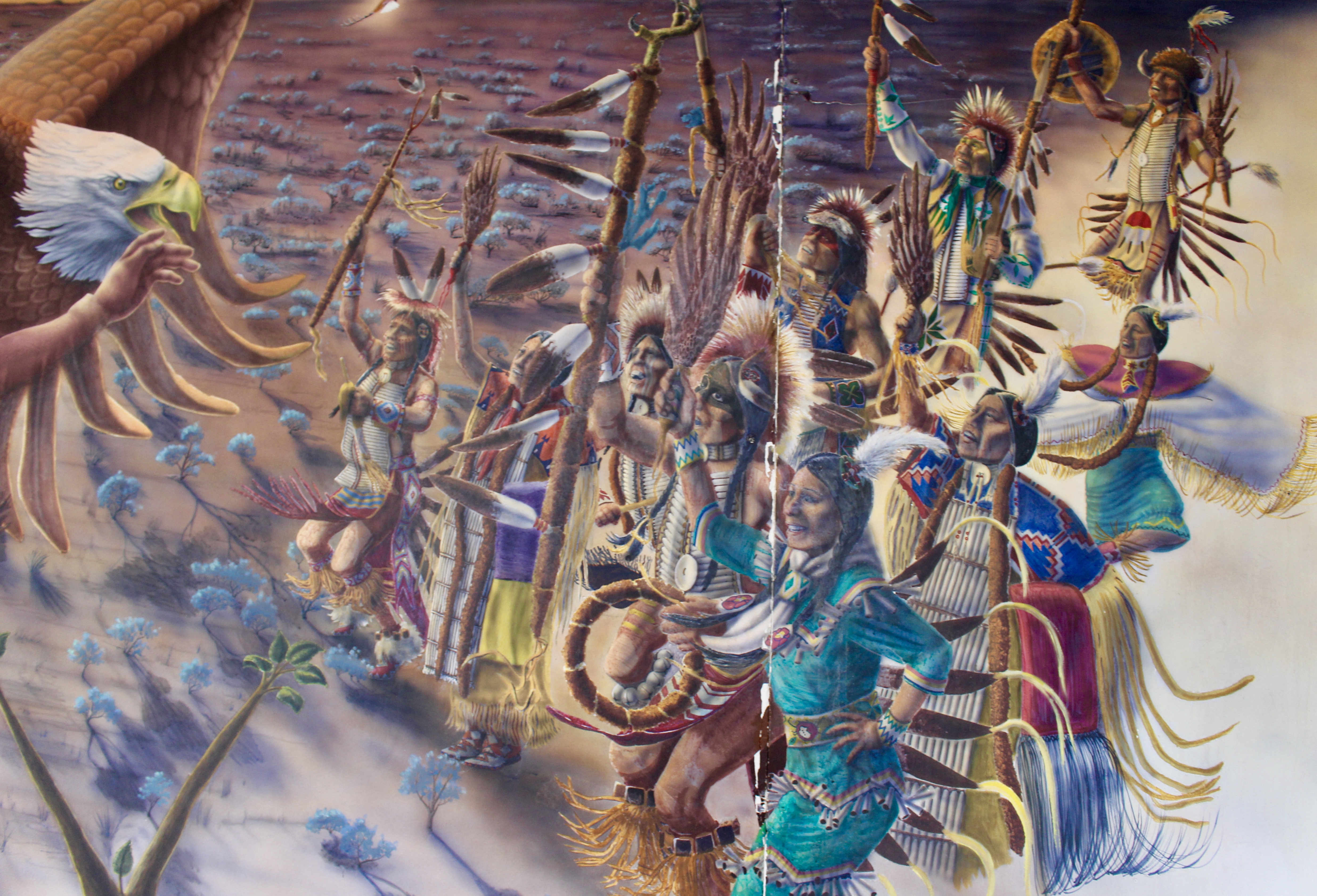
The Badlands seem inhospitable, but this land has supported humans for more than 11,000 years. The earliest people were mammoth hunters. Much later they were followed by nomadic tribes whose lives centered on hunting bison. They quarried useful minerals for tools and weapons, and collected plants for food and medicine. The Arikara was the first tribe known to have inhabited the White River area. By the mid-18th century they were replaced by Sioux, or Lakota, who adopted the use of horses from Spaniards and came to dominate the area.
The Badlands were not home to any one tribe, but were used by many. The Lakota hunted bison with bow and arrow and spear from the backs of their horses and processed their kills in temporary camps that they moved to make use of game and plant resources.
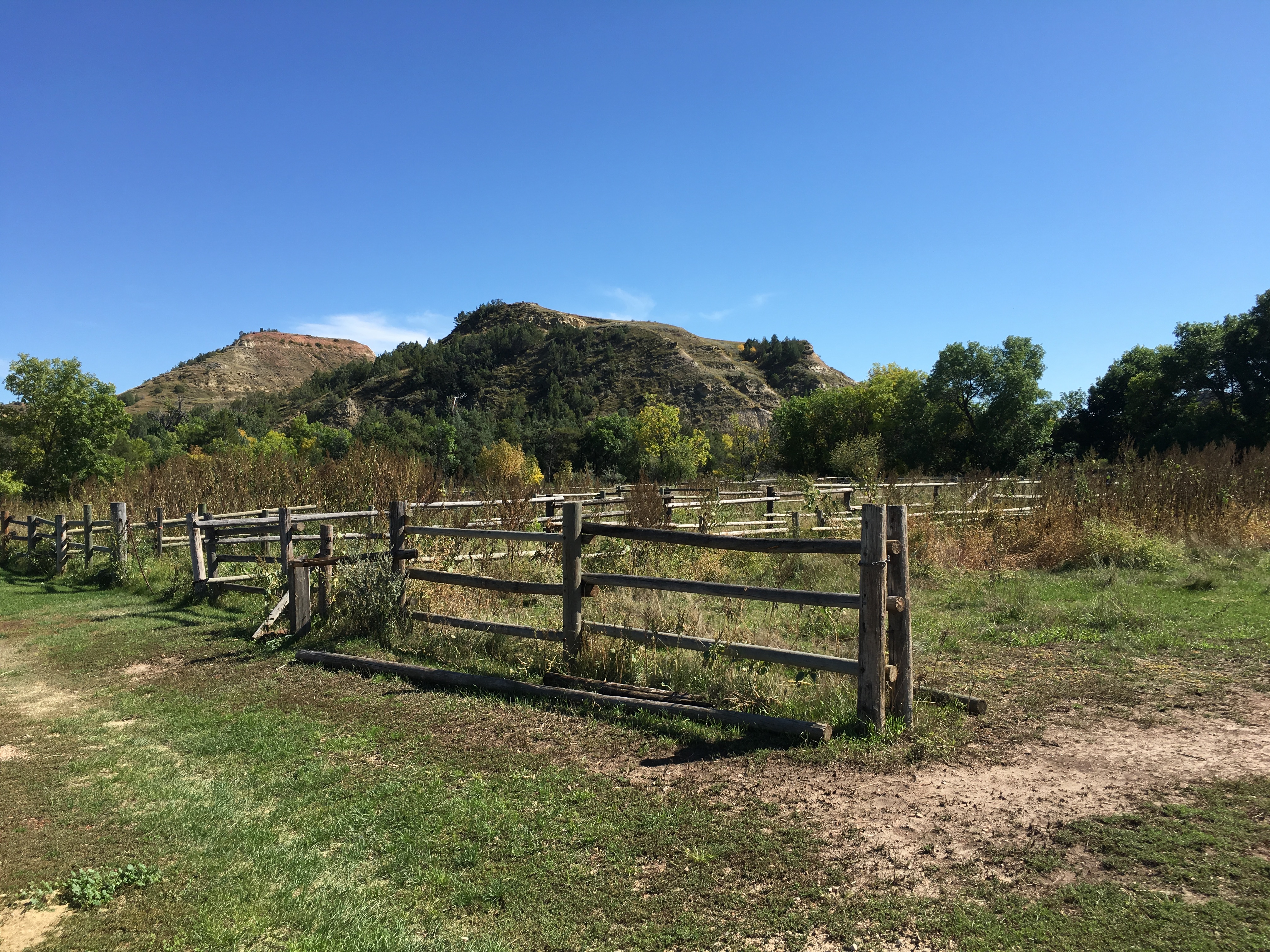
In time, French fur trappers supplanted the Lakota. They called it “bad land” because it lacked water and was difficult to traverse. Trappers were followed by soldiers, miners, cattle farmers, and homesteaders, who followed the Fort Laramie Trail through the Badlands. In the early 20th century, two railway lines ran nearby. Ghost towns, such as Conata, are found near the park. A few homesteads dot the White River Badlands, leaving behind overgrown buildings and stock ponds.


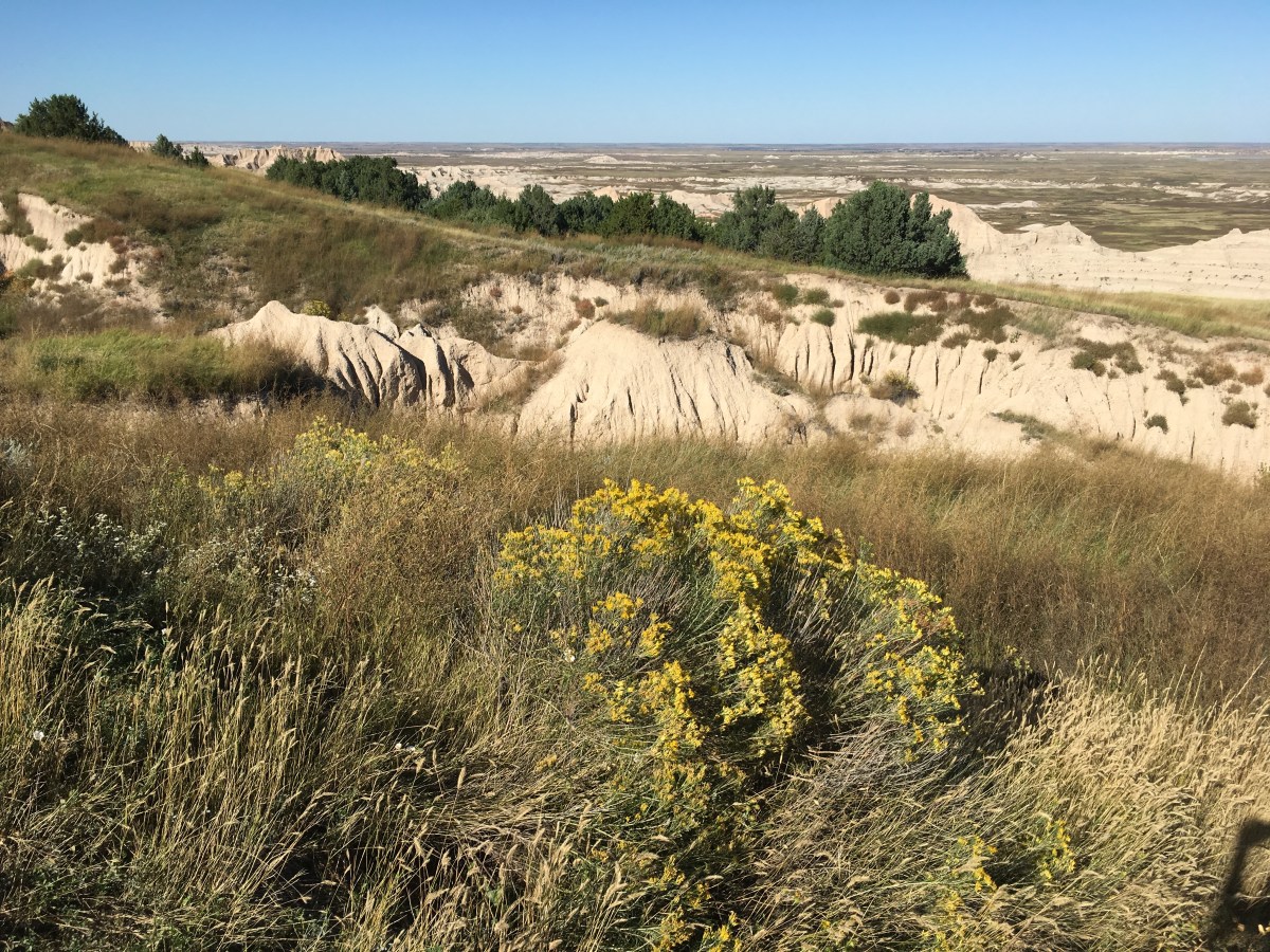
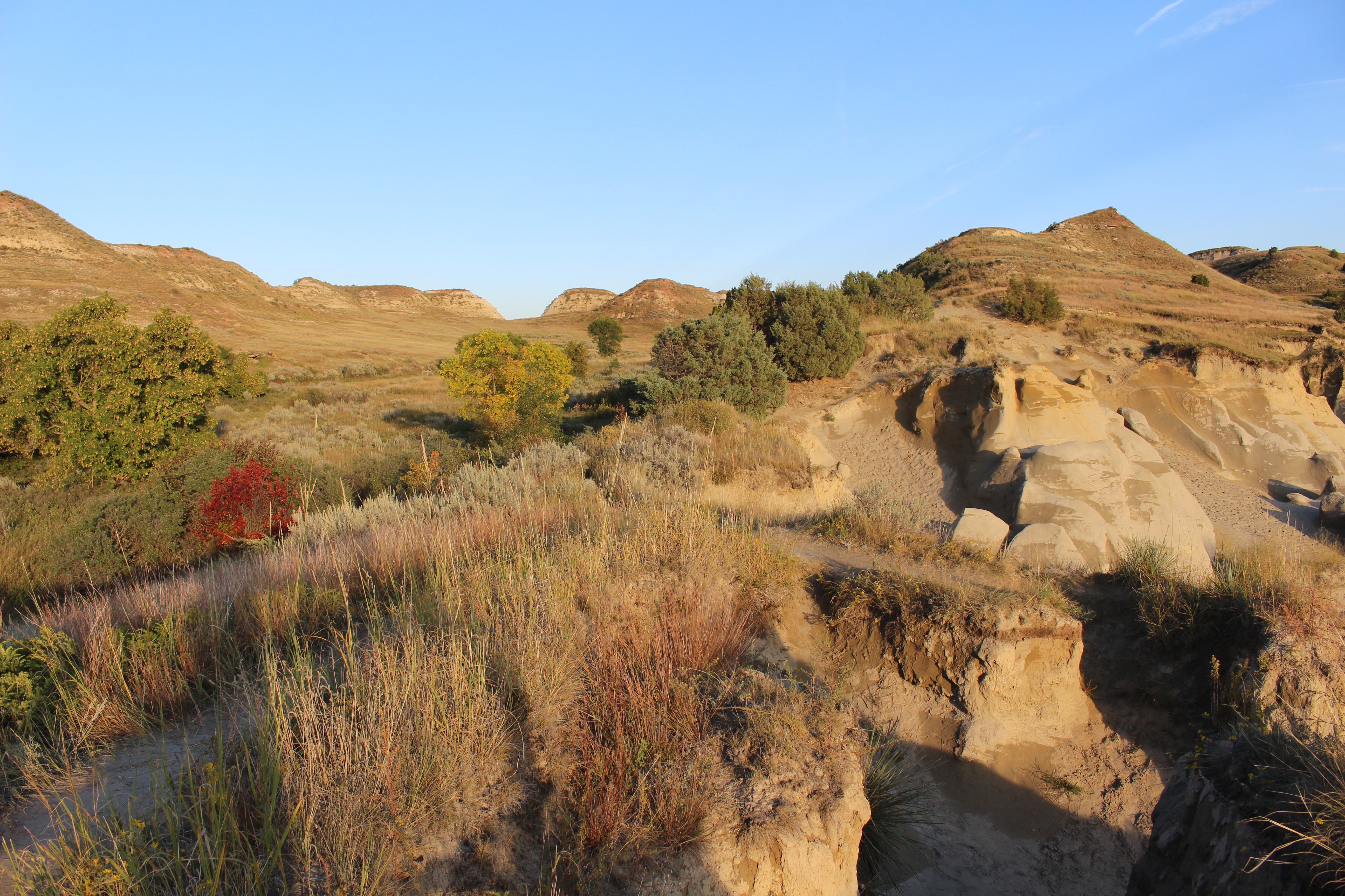
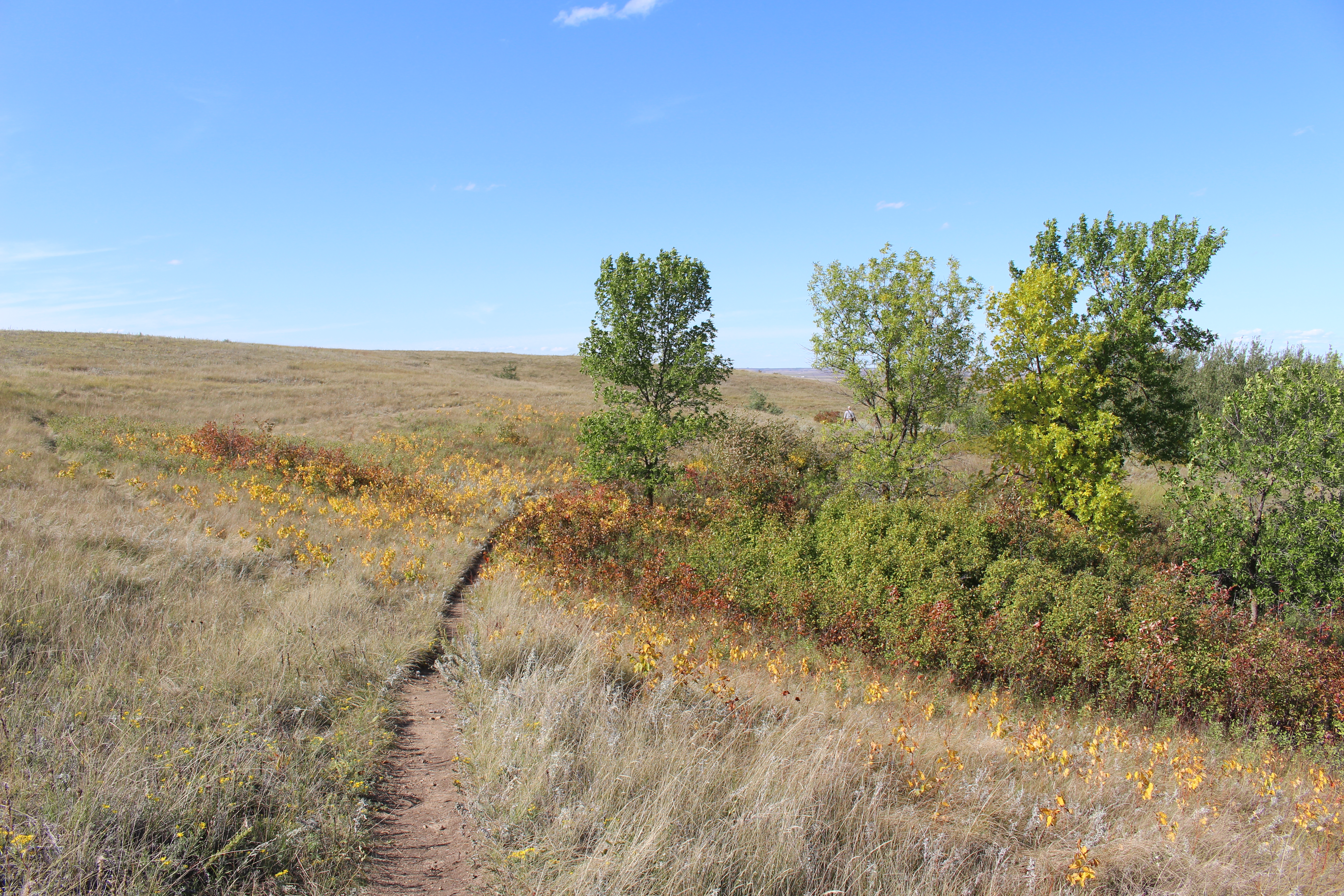
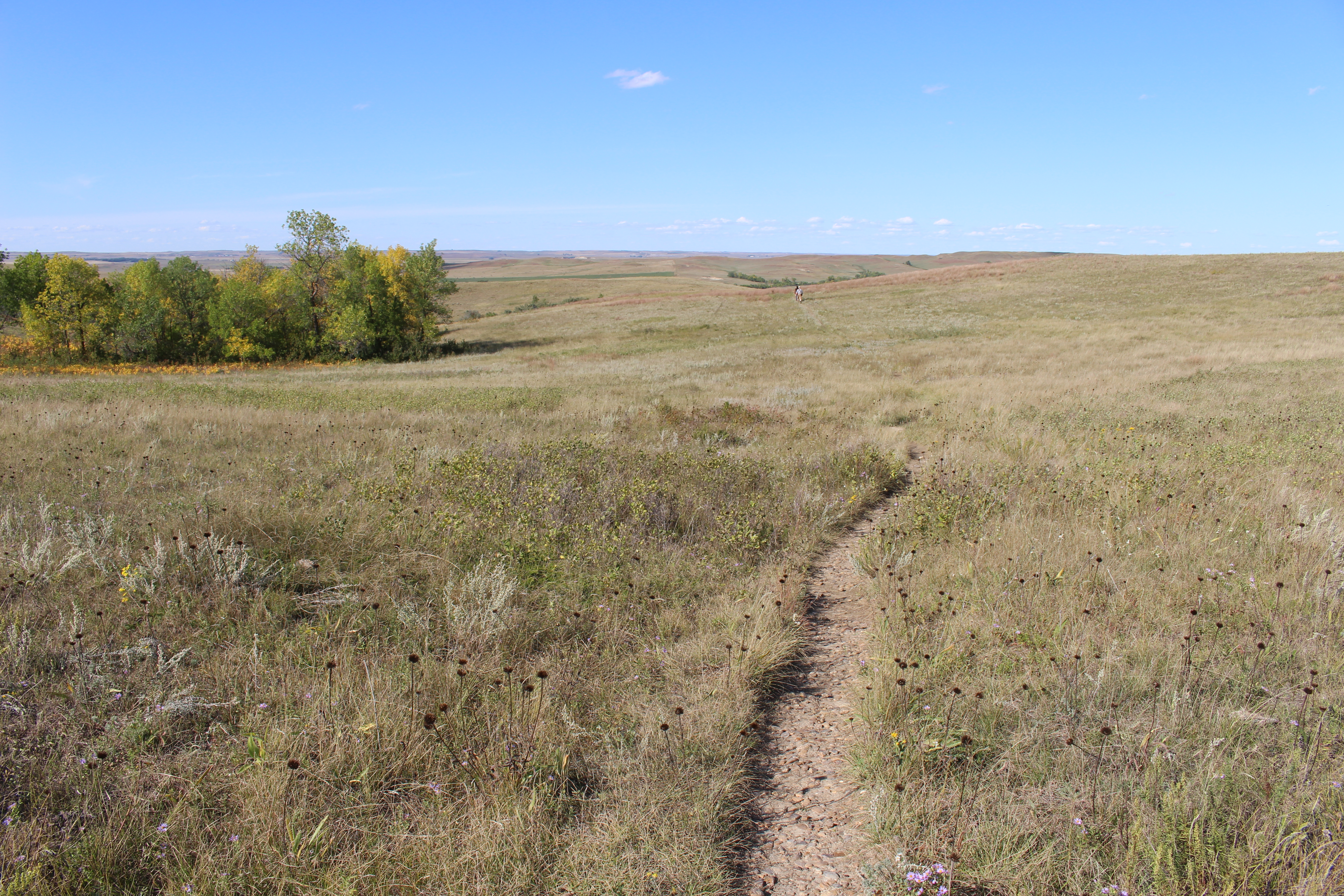
The park ranger at the Visitor Center suggested I do the Medicine Root Loop, which I did. It was a moderate 4 miles round trip on a gently rolling spur trail. I explored mixed grass prairie while enjoying views of the Badlands in the distance.
It was nice to be out walking, with a bit of a breeze, but it was also very hot in the sun. The path mostly featured dry cracked earth, sandy patches, and not-that-interesting rock formations. I met a couple from Minneapolis briefly. One couple sitting in the shade said I’d see bighorn sheep ahead. It’s amazing what your imagination can do as I thought I saw some on a large rock, but it was just people climbing around.
It was an especially long walk back along a grassland path, with grasses scratching my ankles. I felt like I was going to keel over from the heat, but I had plenty of water so I kept moving. I kept an eye out for rattlesnakes, but I never saw any, thank goodness. Telephone poles made me think a road was nearby and it was. I was so happy to see my car. 🙂


I stopped back at the Visitor Center for a restroom break.
Then I began the park drive, stopping at the .25 miles round-trip Fossil Exhibit Trail. It featured fossil replicas and exhibits of now extinct creatures that once roamed the area.


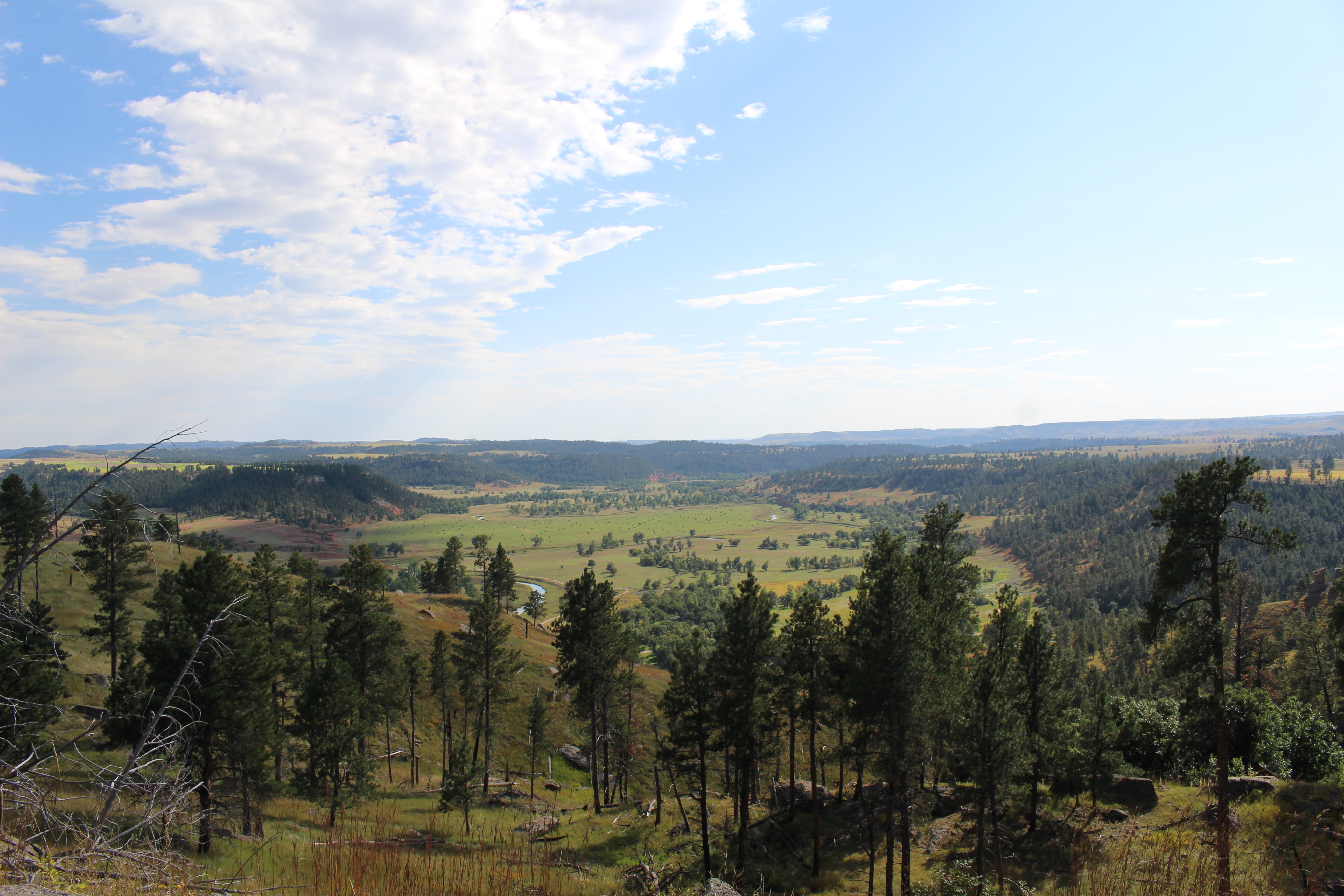
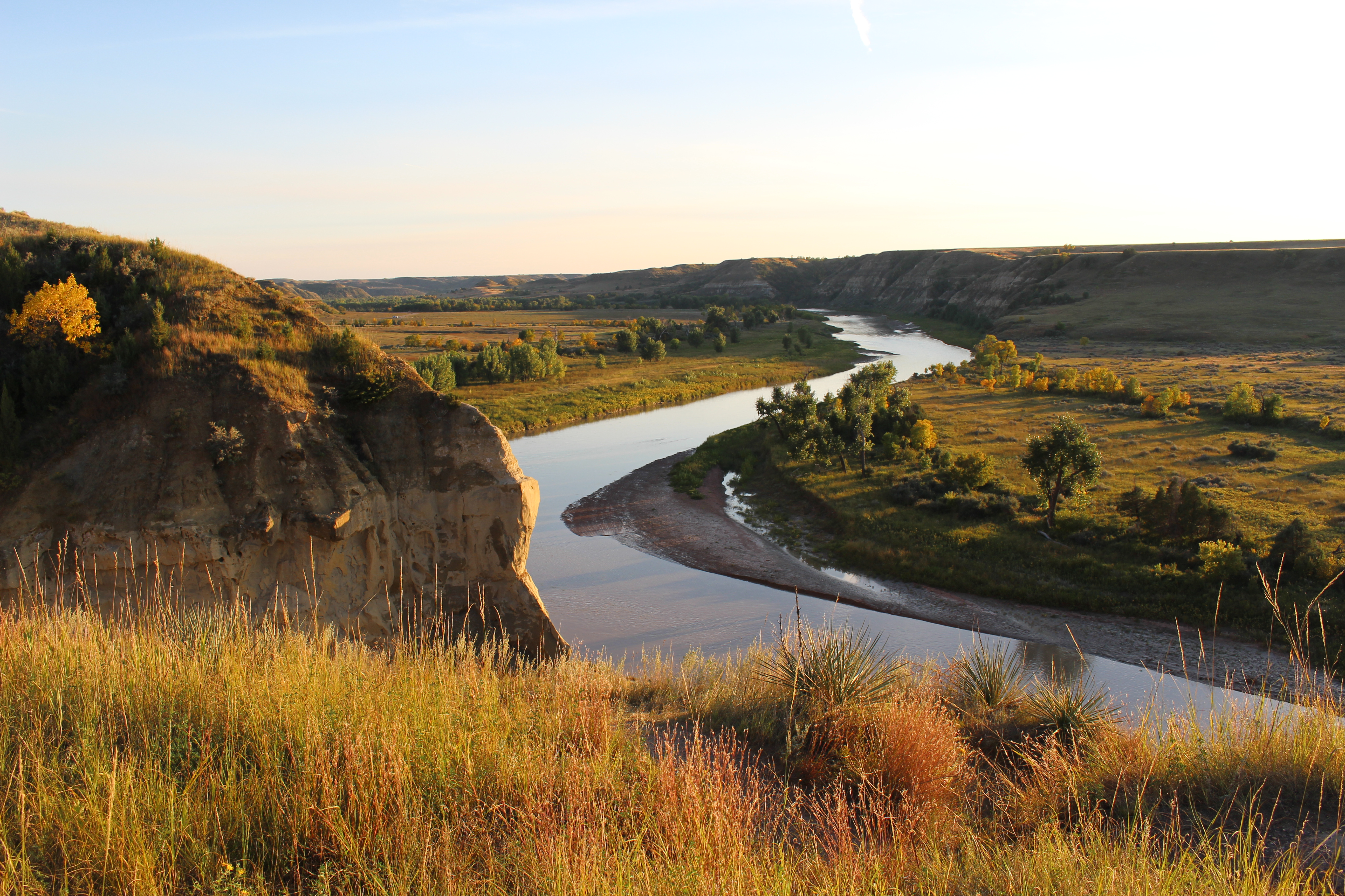
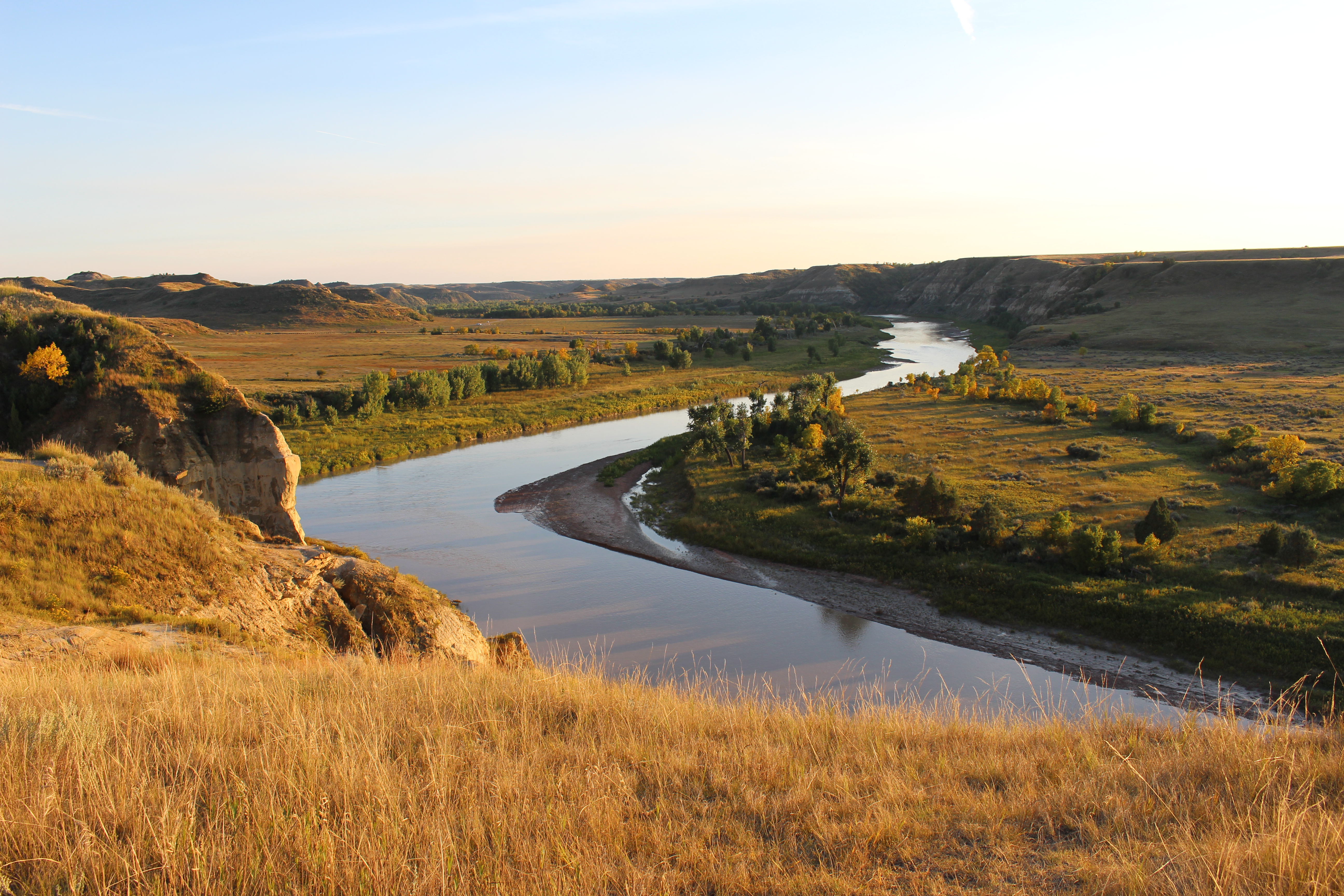
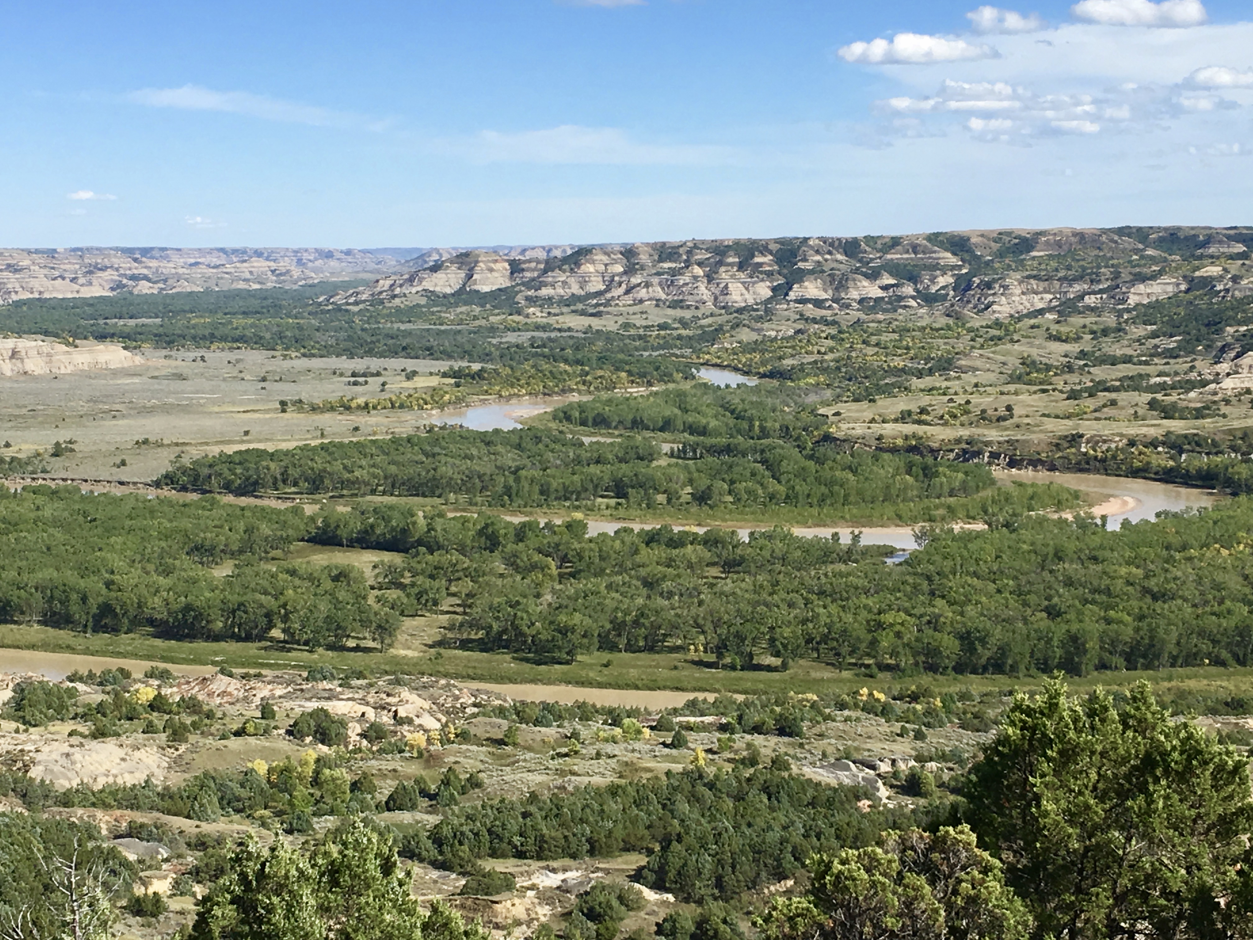
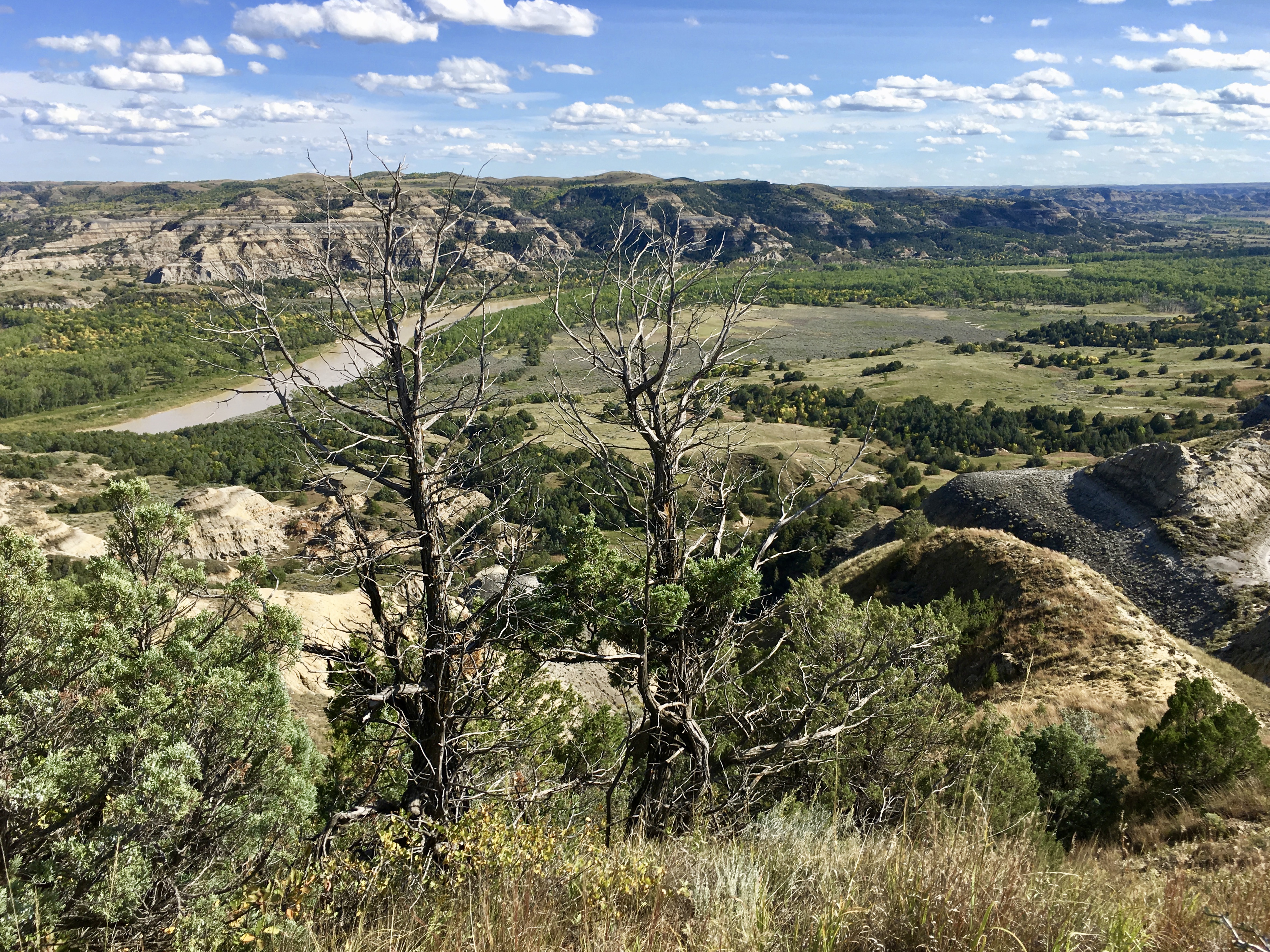
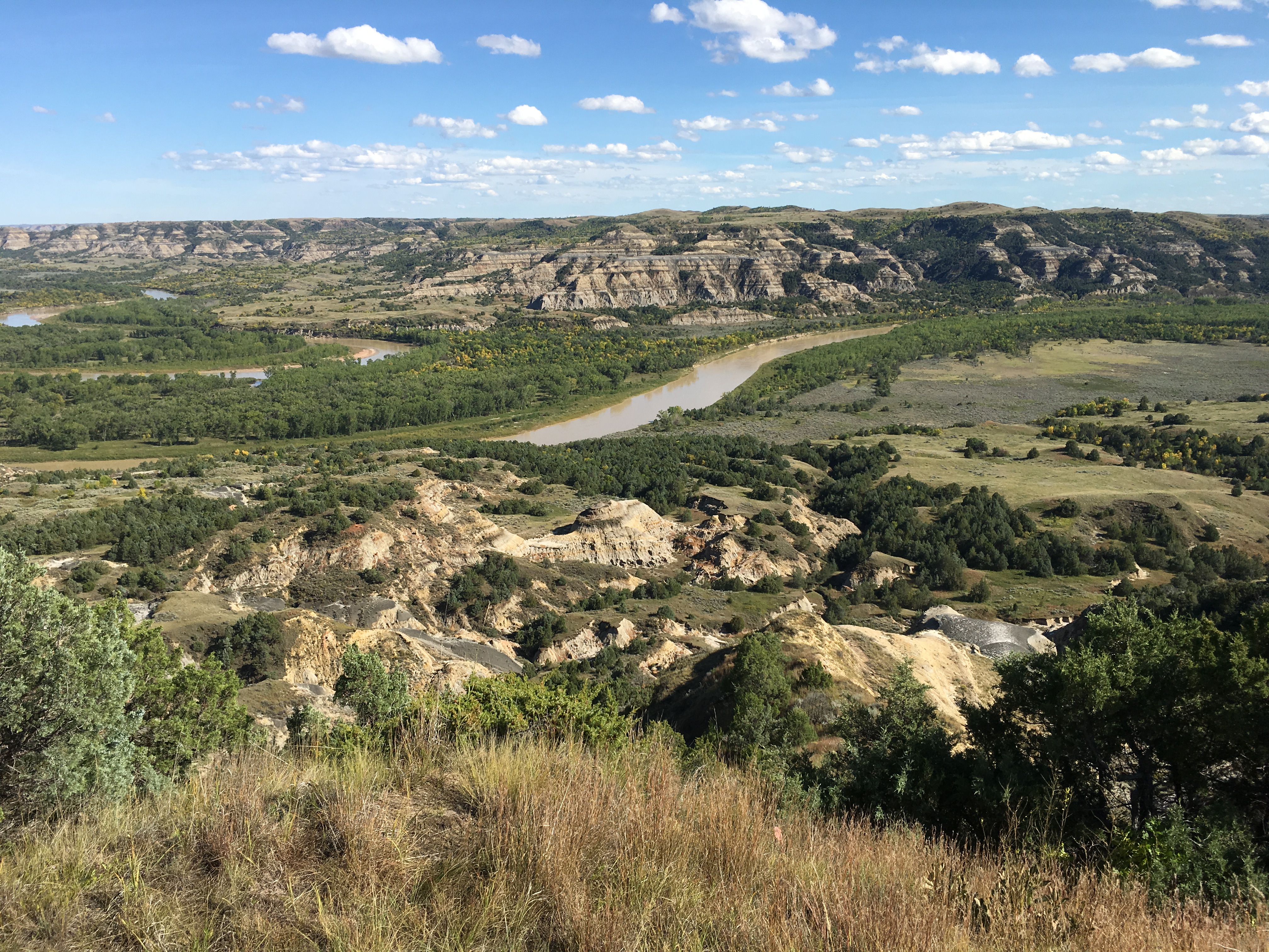
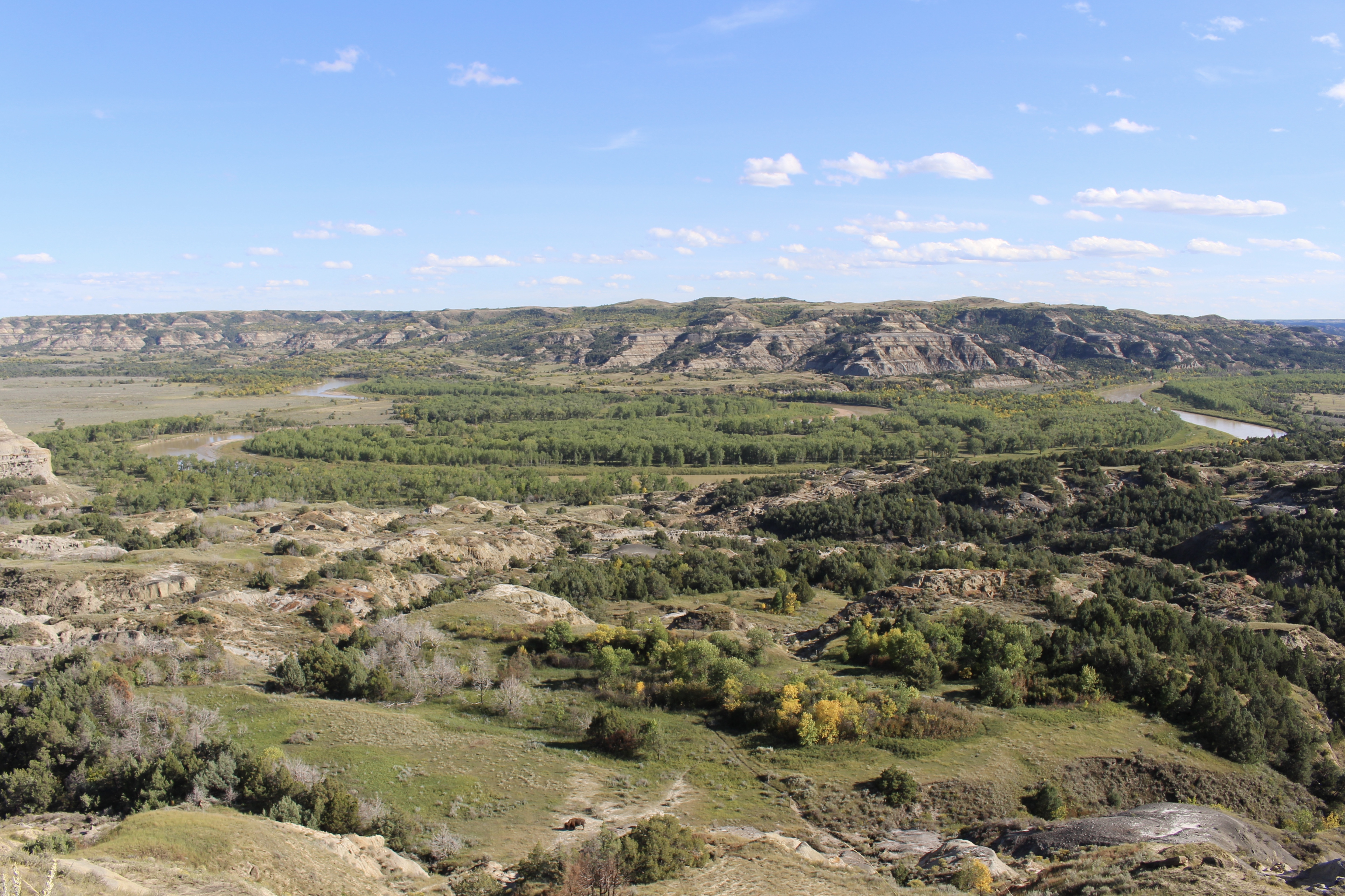
I stopped at various overlooks including the White River Valley Overlook and Panorama Overlook.

White River Valley Overlook

White River Valley Overlook

Panorama Overlook
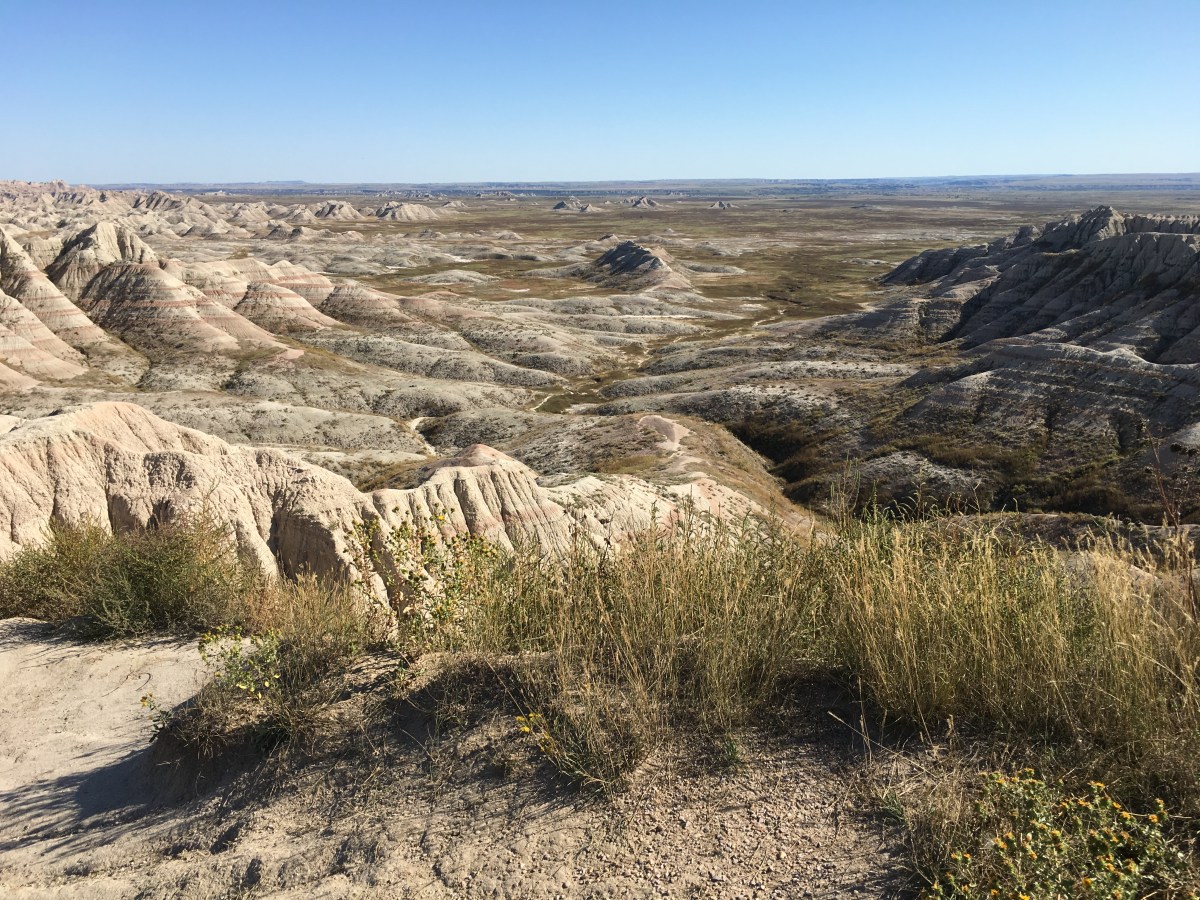
Panorama Overlook

Panorama Overlook
Sadly, I accidentally ran over a prairie dog. Ouch.
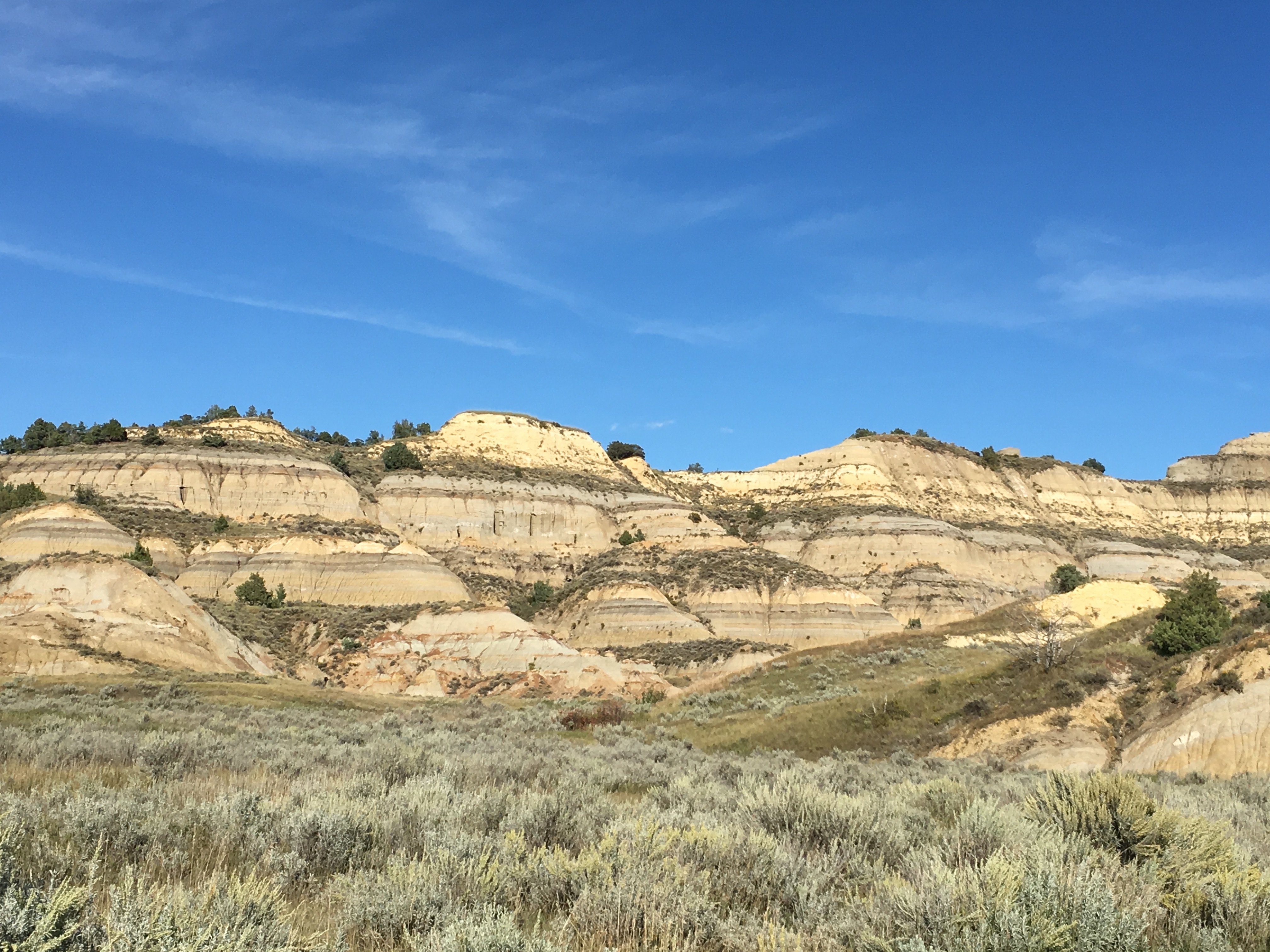
I went through Dillon pass and stopped at Yellow Mounds Overlook and Ancient Hunters Overlook.
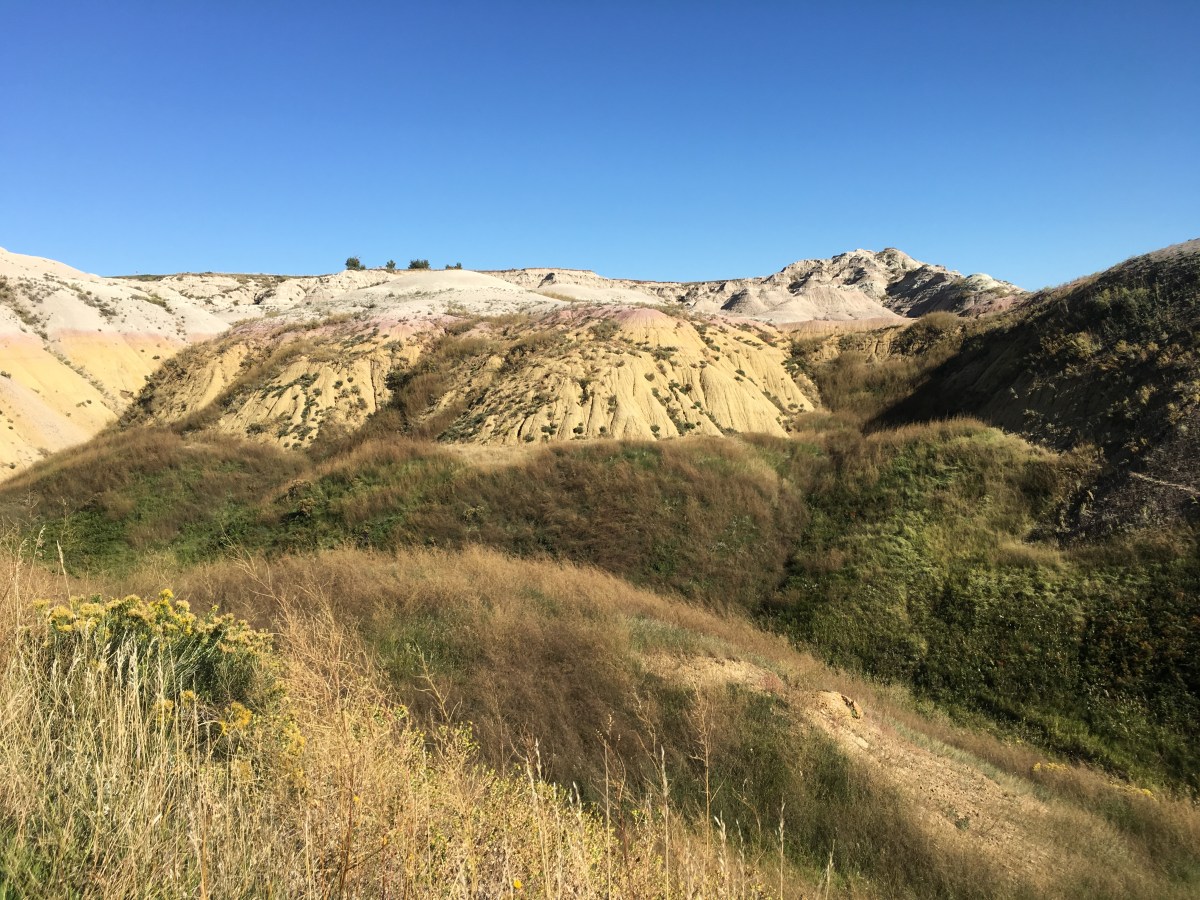
Yellow Mounds Overlook
Yellow Mounds Overlook
Ancient Hunters Overlook
Ancient Hunters Overlook

Ancient Hunters Overlook

Ancient Hunters Overlook
At Pinnacles Overlook, the parking lot was crowded with tour buses.


I left Badlands at 4:17 at the Pinnacles Entrance. At Buffalo Gap National Grassland, I saw a “Bighorn Sheep Crossing” sign for the next three miles, but I never saw any of the animals.
“I had never seen anything which impressed so strongly on my mind a feeling of desolation…. The wind was high and bleak; the barren, arid country seemed as if it had been swept by fires, and in every direction the same dull ash colored hue derived from the formation met the eye… We left the place with pleasure.” ~ John C. Freemont, diary, 1842
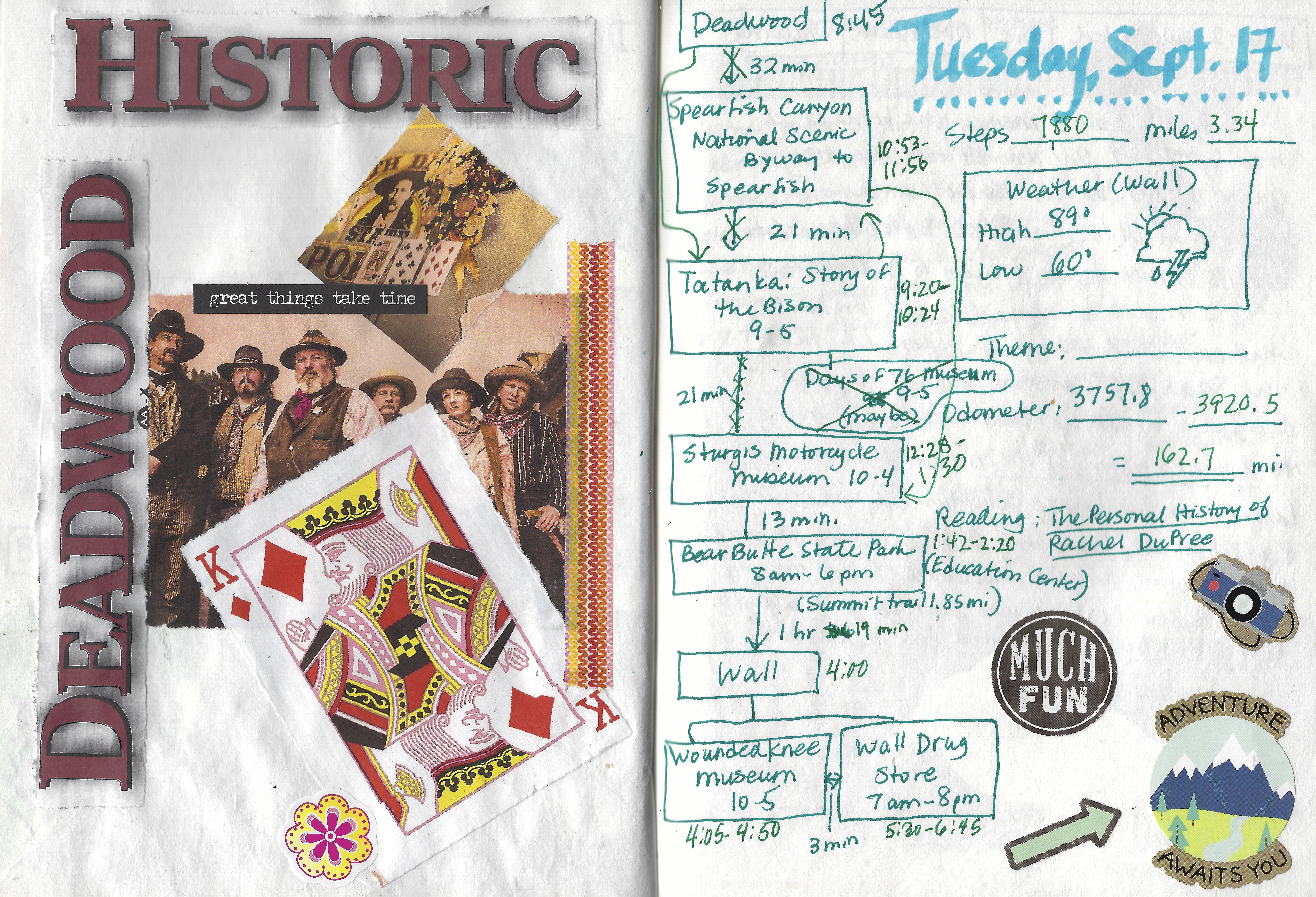
Before traveling, I read a book that was set in the Badlands, The Personal History of Rachel Dupree. Here is my review of that book:
This is an engrossing story of an African-American family who took advantage of the Homestead Act to get 160 acres (x2) in the Badlands of South Dakota. Isaac DuPree, the son of a boarding house owner in Chicago, agrees to marry Rachel, hired help in the boarding house, if she files for ownership of 160 acres under the act before they marry. By marrying her, Isaac can double his acreage. They agree to remain married for only one year, but at the time the story begins, they’ve been married 14 years and have five children, with another on the way.
The story takes place in the early 1900s, when African-Americans were desperate to get out from under the thumbs of white people, and to escape the poverty to which they seemed destined. Isaac, who was once a soldier at Fort Robinson, is determined to be free of white suppression by becoming a self-made man. He is blindly ambitious about keeping his ranch at all costs, while also increasing his acreage. But when the family suffers through a horrible drought in 1917, Rachel has to decide whether she can continue to let her children suffer.
This story is full of quiet drama and tension. Rachel has to battle with her own ambitions: deeply smitten by Isaac, she was determined to have him at all costs; she also had great pride in the wooden house that Isaac had built for the family. But when the harsh realities of the Badlands wear her down, she begins to question her ambitions, as well as her husband’s. She remembers the little bits of sweetness she’d had in her younger years, and she begins to long for her children to also experience that bit of sweetness. She feels that everyone should have some sweet memory or experience to hang onto as they bear the hardships of pioneer life on the harsh prairie. Her love for Isaac and her home comes into conflict with her love for her children, and this conflict is the thread throughout the book.
An excellent read all around.
(All information about the Badlands comes from pamphlets and signs by the U.S. National Park Service.)
It was 8 miles to Wall on 240N.
More Wall signs greeted me:
WALL: THE FRIENDLY TOWN: HOME OF WALL DRUG.
COWBOY UP! BOOTS – BUCKLES – BELTS: WALL DRUG
Brett Dennen sang that love would set him free and if we keep building bombs, we’re going to drop them all in “Ain’t no Reason.”
YOUR WINDOW TO THE WEST: WALL HAS IT ALL
BLACK HILLS GOLD: WALL DRUG STORE
HOMEMADE BREAKFAST ROLLS: DONUTS, FUDGE & PIE: WALL DRUG.
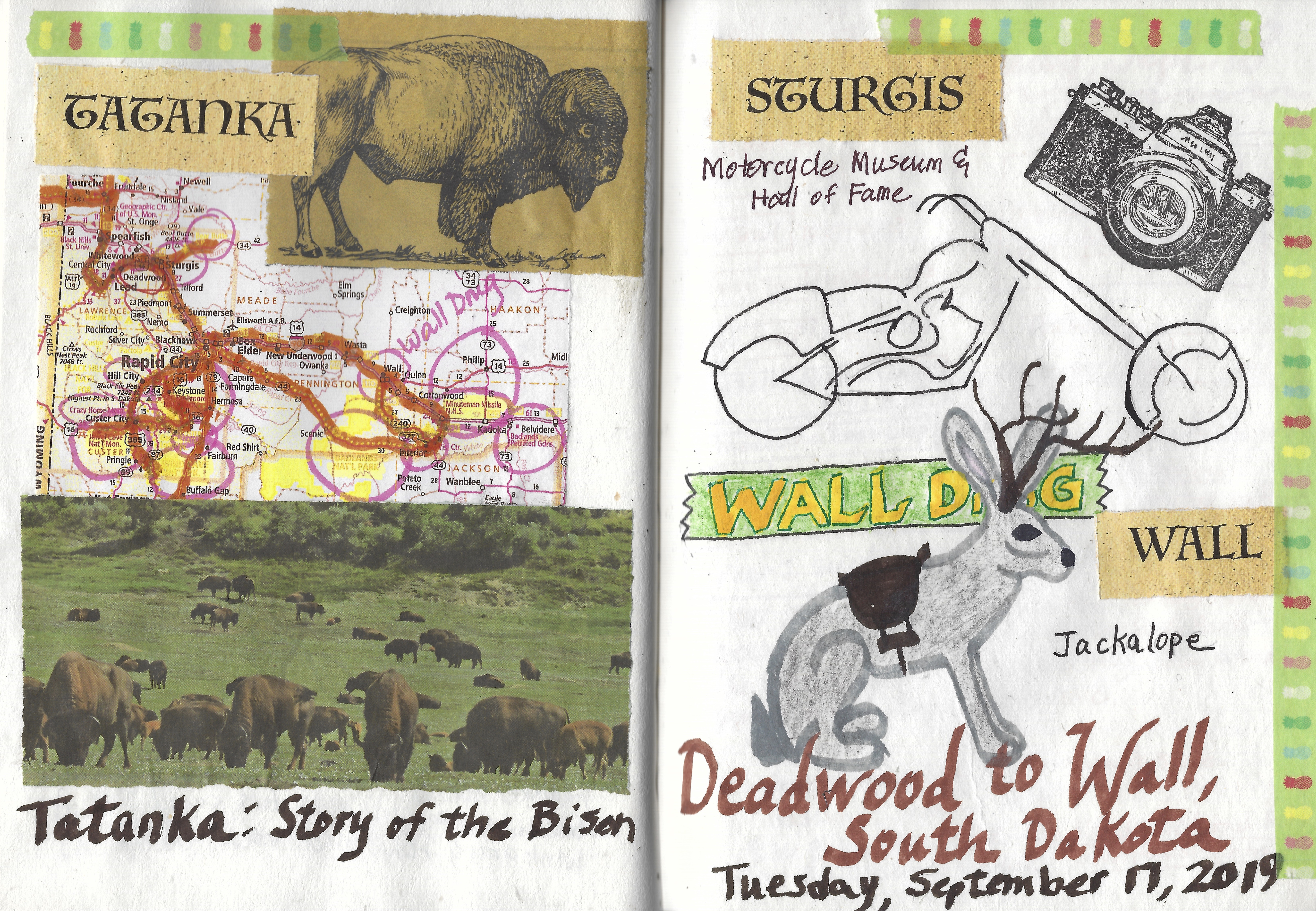
I returned to my room and took a quick bath, then I went back to Wall Drug. There I posed on the Jackalope. I bought a black wool hat for $59. The man there helped me figure out a size. I always have to buy men’s hats in large because my head is too big for women’s hats!


I had dinner again at Badlands Saloon & Grille, where I sat at the bar. I had a free Bud Light and a bison hot dog with a couple of fried onion rings and some baked beans. I felt like an old cow poke. 🙂
*Drove 67.4 miles; Steps 19,967, or 8.46 miles*
*Wednesday, September 18, 2019*


You must be logged in to post a comment.