After leaving Moab, we headed to one of our favorite parks we encountered on the trip, Natural Bridges National Monument. It sits in a high desert environment, with elevations of 5,500-6,500 feet and average yearly precipitation of 13 inches. As the park is somewhat off-the-beaten-track, we only had time to visit this one and Hovenweep National Monument today, ending up in Bluff, Utah.
We drove the 9-mile paved one-way loop road around Bridge View Drive, which leads to overlooks and trailheads for all three natural bridges and the Horse Collar Ruin archeological site. As we were limited in time today, we sadly only had time for one hike. I would love to have done more. I will share photos of the overlooks to the other bridges and the ruins in another post.
Declared a National Monument in 1908, the bridges are named Sipapu, Kachina, and Owachomo in honor of the Native Americans that once made this area their home. All three bridges have gone through name changes over the years.
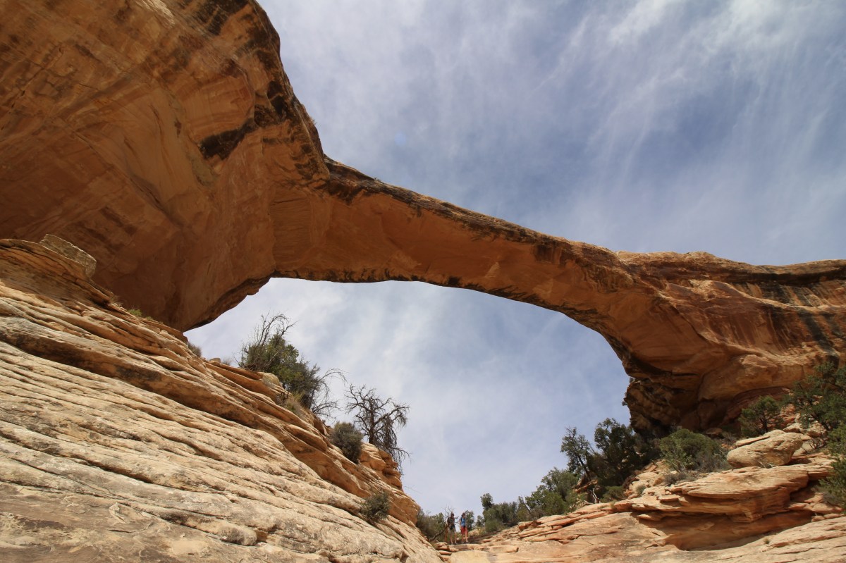
We took the Owachomo Bridge hike through pinyon-juniper forest, grasses, shrubs, hanging gardens, willows, cottonwood, Douglas fir and Ponderosa pine trees. Owachomo was once named Congressman; as the shortest in height at 106 feet, with a 180-foot span, it took the less powerful name, after President (Sipapu) and Senator (Kachina). Later explorers renamed the bridge Edwin. When the park was enlarged in 1909 to protect nearby Puebloan structures, the General Land Office affixed the Hopi names to the bridges.

looking down on Owachomo Bridge
Owachomo means “rock mound,” a feature atop the bridge’s east abutment.
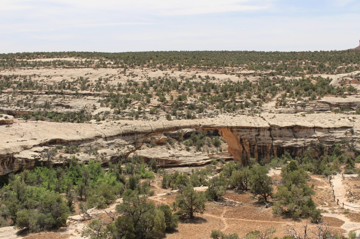
looking down on Owachomo Bridge

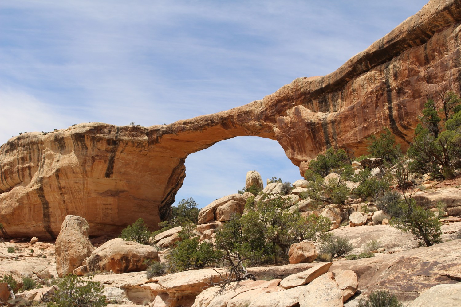
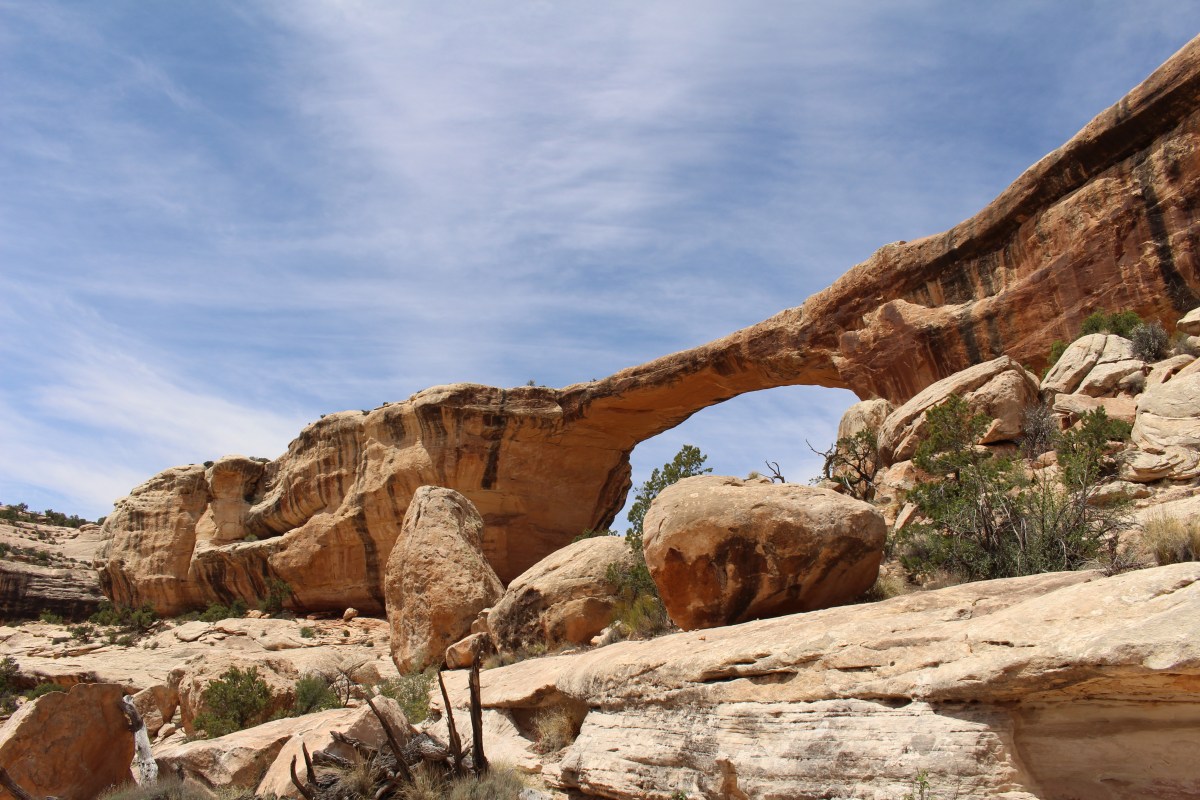
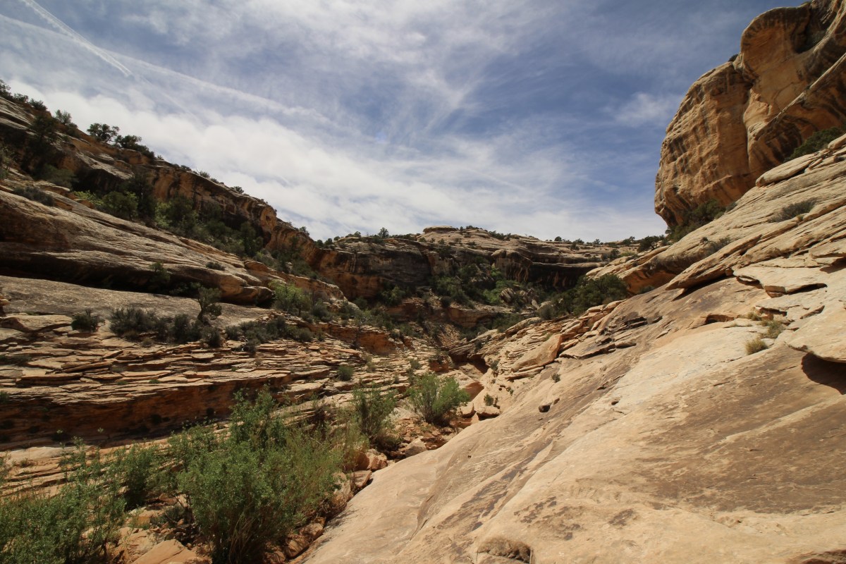
approaching Owachomo Bridge

Mike at Owachomo Bridge
Owachomo Bridge
We went through the bridge to Armstrong Canyon on the other side. Here, Mike went one way and I went another. I think he missed out because I got the best views!

crossing through to the other side
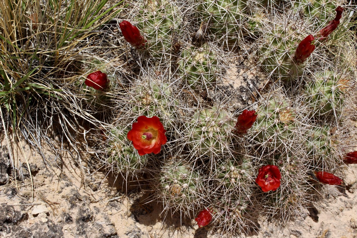
cacti
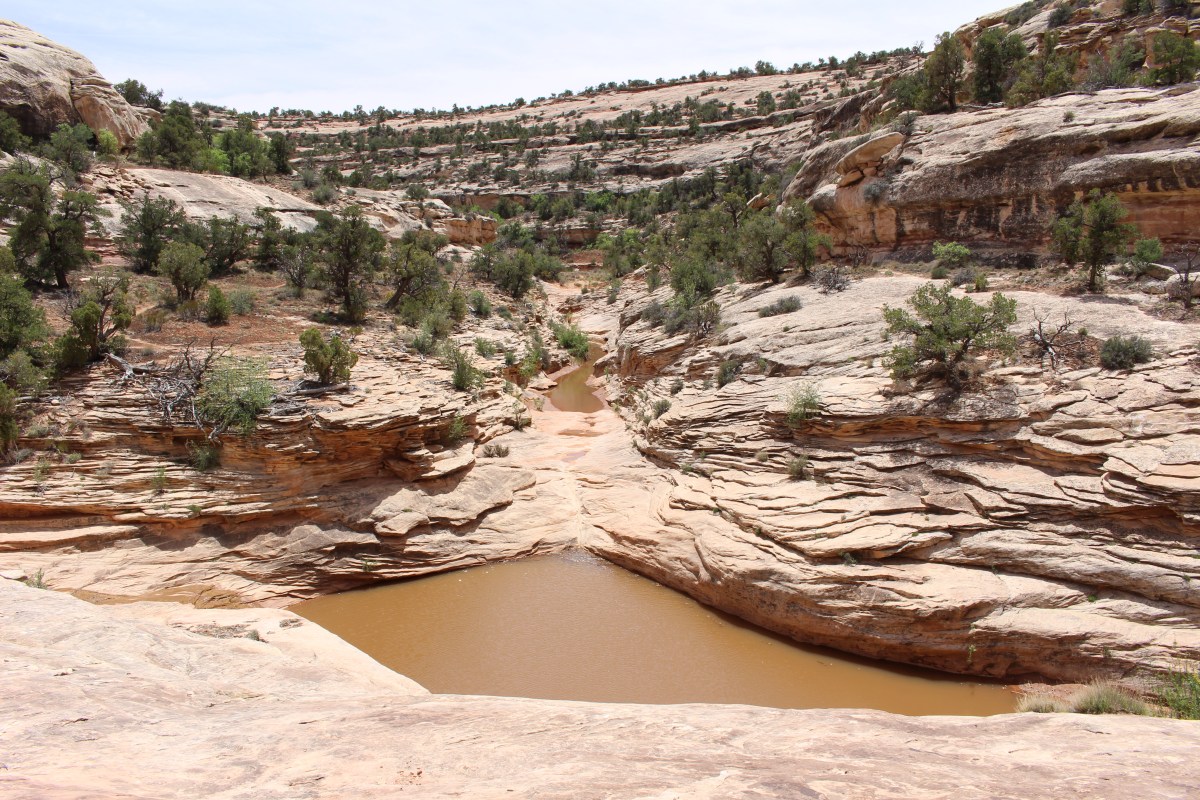
stream through Armstrong Canyon
The rock here at Natural Bridges National Monument is sandstone first formed by windblown sand. White and Armstrong Canyons and their three bridges are results of water’s relentless action against the crossbedded sandstone. Episodes of great heads of water and sand scouring the desert stream set the conditions for forming the natural bridges. Owachomo, straddling no stream now, apparently was cut by two streams.
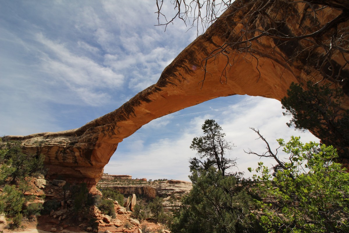
Owachomo Bridge
A natural bridge is temporary. Blocks fall from its underside, and its surfaces weather, wear, and weaken. The span of Owachomo, the oldest, has now worn thin.


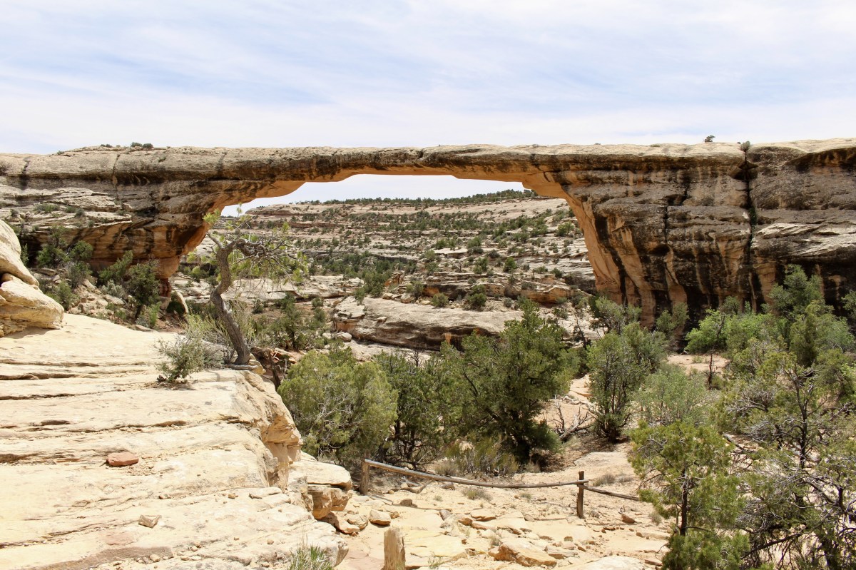
Towards the end of the hike, I changed to my wide angle lens to capture as much of the bridge as possible.
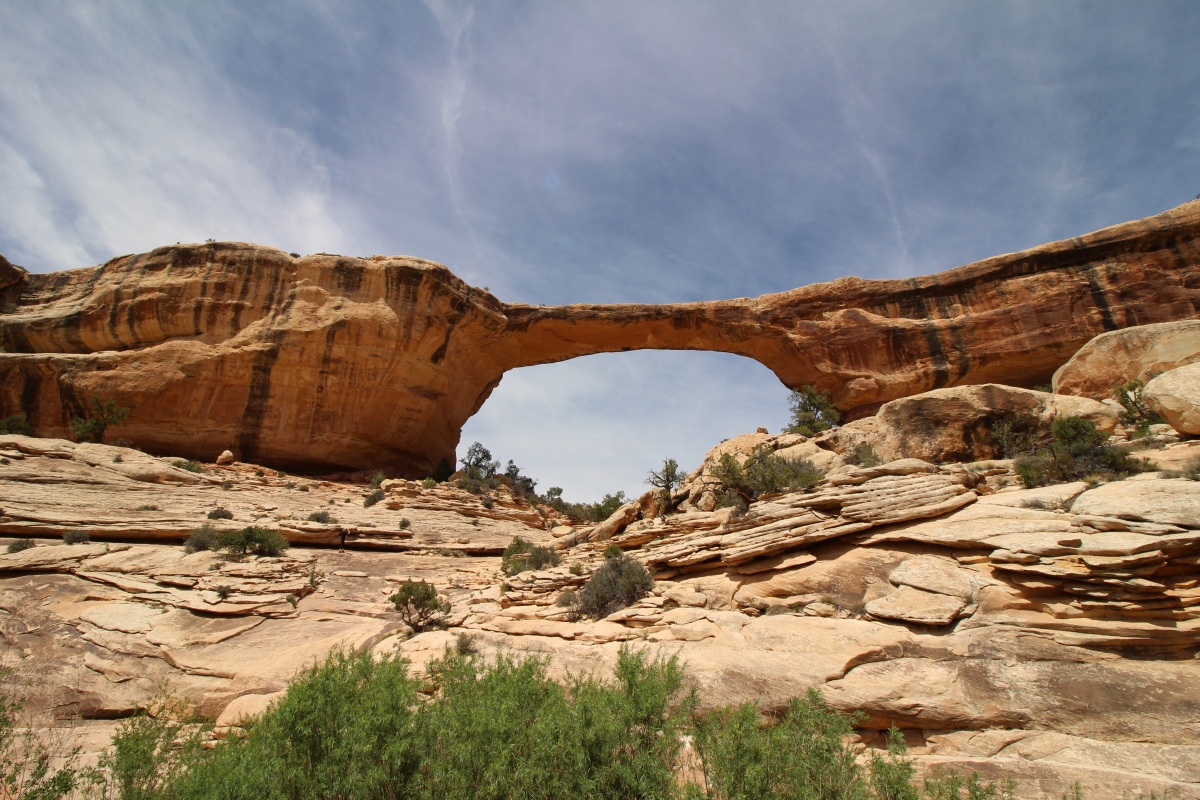
Owachomo Bridge with wide angle
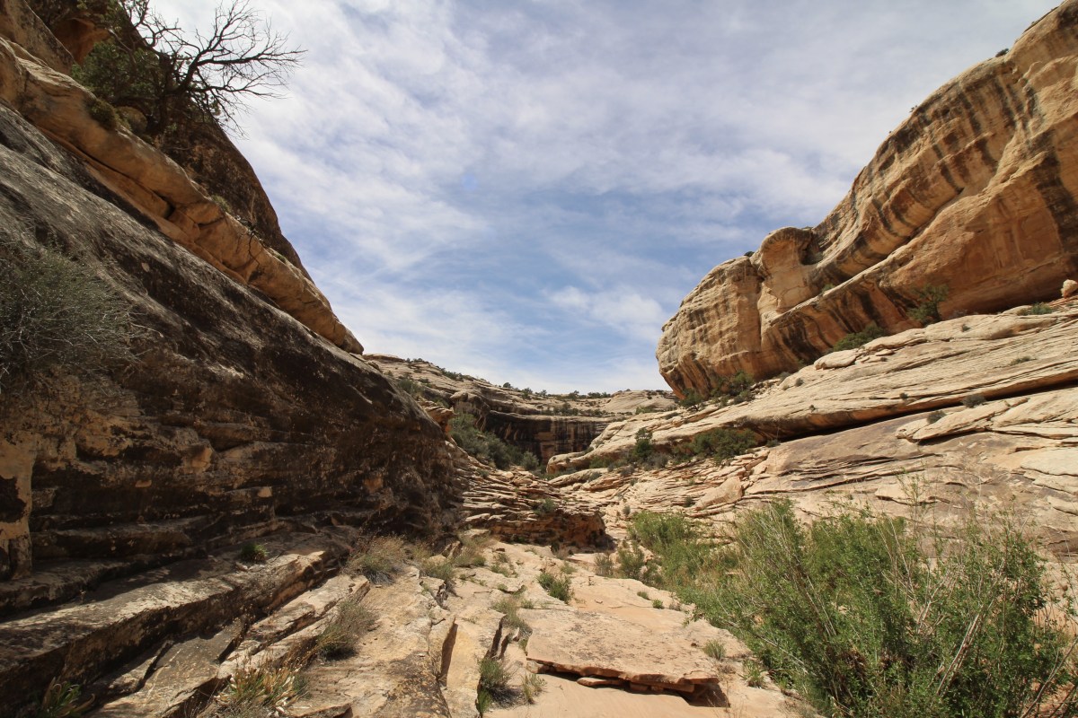
Armstrong Canyon with wide angle
Armstrong Canyon with wide angle
Owachomo Bridge with wide angle

Owachomo Bridge with wide angle
Owachomo Bridge with wide angle
Of course, I got my sticker and cancellation stamp for my National Parks passport. 🙂
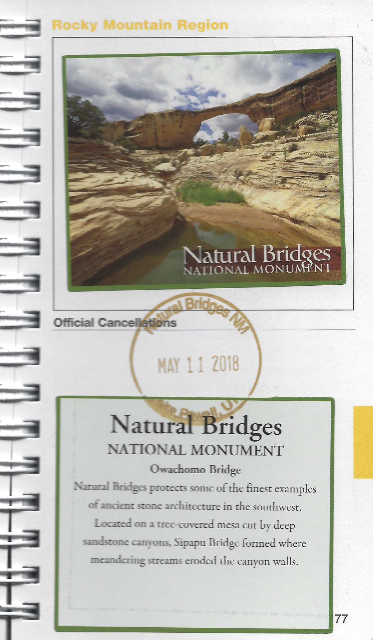
My passport sticker and cancellation stamp 🙂
This hike wasn’t that long, only 1.18 miles, but we lingered a while here, so the entire hike took 50:12 minutes. This was most beautiful hike we took today! 🙂
*Friday, May 11, 2018*
***********************
On Sundays, I plan to post various walks that I took on our Four Corners trip as well as hikes I took locally while training for the Camino de Santiago; I may also post on other unrelated subjects. I will use these posts to participate in Jo’s Monday Walks or any other challenges that catch my fancy.
This post is in response to Jo’s Monday Walk: A Tale of three Castles – 1. Warkworth.
Discover more from ~ wander.essence ~
Subscribe to get the latest posts sent to your email.

It does look hot, Cathy! I’m hoping the temperatures are suiting you on the Camino? It’s just one more factor, isn’t it? Hope you’re still full of joy! Thinking of you 🙂 🙂 And, thank you!
LikeLike
Most of the days have been lovely, Jo, but yesterday we hit a dry hot stretch where I felt like my eyeballs were going to shrivel up! But yesterday was one of the loveliest days I’ve had so far, other than crossing the Pyrenees. Thank you for your thoughts. Hugs xxx
LikeLike
Good to be in touch, Cathy, however briefly. So proud of you! 🙂 🙂
LikeLike
Thanks Jo!!
LikeLiked by 1 person
I’m presuming you are on the Camino now and if so, I’m in awe of your energy in that you are also making time to post and upload images. These are stunning, especially the wide angle ones, and the very last one is quite wonderful. It looks very hot there, hot as the Camino? Whatever is happening now, I hope it is all going well for you and that you are not over-doing it.
LikeLike
Hi Mari. Yes I’m on the Camino but I wrote all posts before leaving and scheduled them to post while I’m gone. I don’t have energy at all to post while on the Camino. I barely have energy to walk, shower, wash clothes and go to sleep, and repeat! The Camino has had some warm days but other days the weather has been lovely. I’m walking about 10-12 miles a day, a lot but not too much. Thanks so much! 😊
LikeLike
Great photos!
LikeLiked by 1 person
Thank you, Theresa! ✨🙏🏻✨
LikeLiked by 1 person
Looks fantastic there, Cathy. Our plans haave changed, btw. We won’t be able to see anything in the Four Corners area. We’ll only be at the balloon festival in Albuquerque for a few days, and the return home as we’ll have to attend a relative’s wedding.
Have a wonderful day,
Pit
LikeLike
The balloon festival in Albuquerque sounds wonderful! Have fun at the wedding!
LikeLiked by 1 person
Thanks, Cathy! 🙂
LikeLiked by 1 person
The cacti in flower is so pretty. Does it only happen after rain?
LikeLiked by 1 person
I’m not sure!
LikeLike
[…] The Owachomo Bridge Trail at Natural Bridges National Monument […]
LikeLike
The landscape of this region captivates my imagination and in your post I fell under the spell of those gorgeous cactus blossoms.
LikeLike
Thank you! It is a wonderful landscape!
LikeLiked by 1 person
[…] via the owachomo bridge trail at natural bridges national monument — ~ wander.essence ~ […]
LikeLike