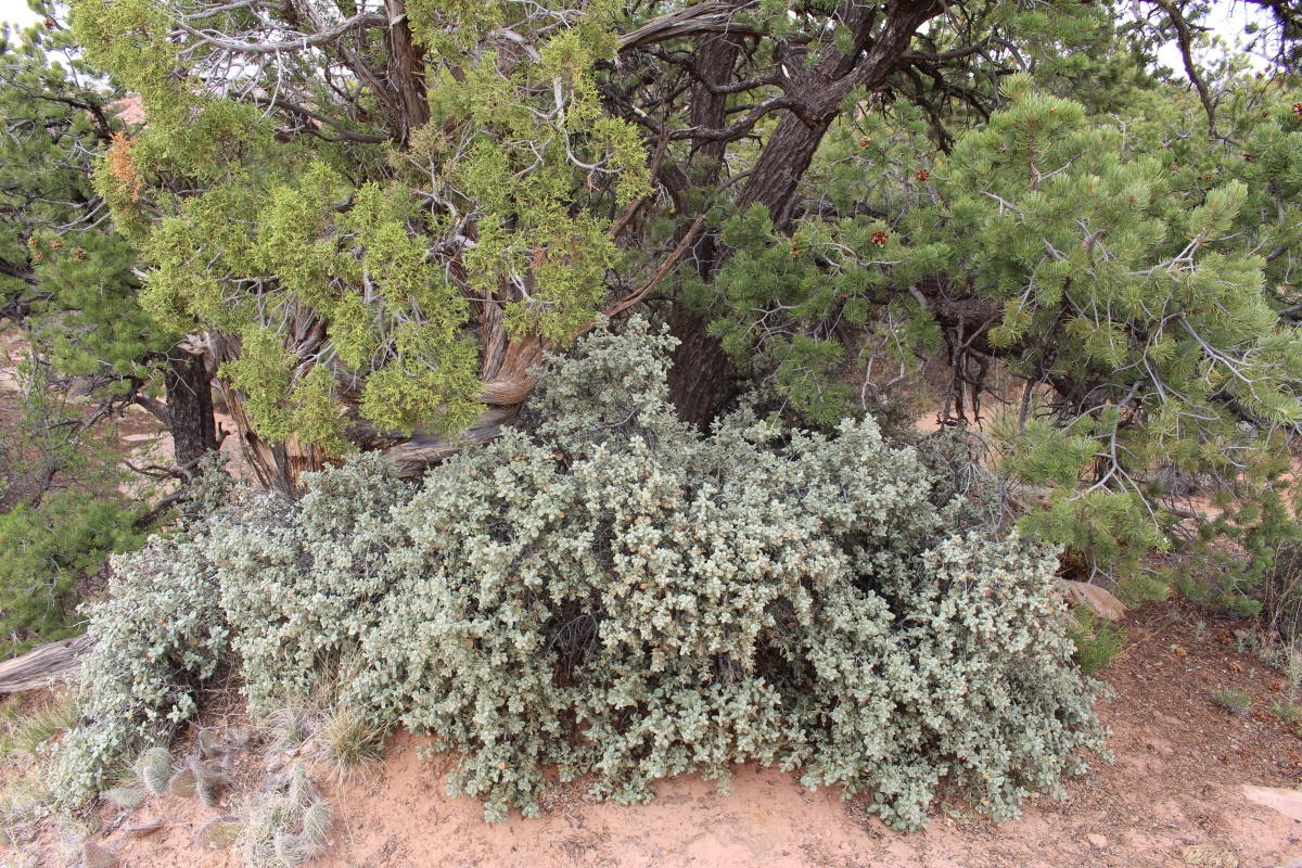
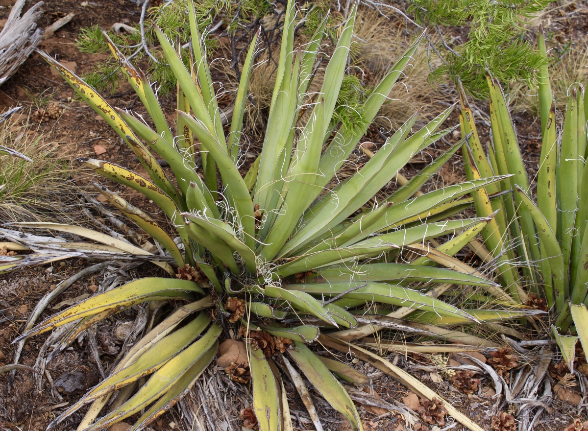
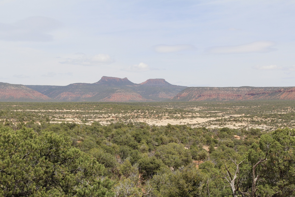
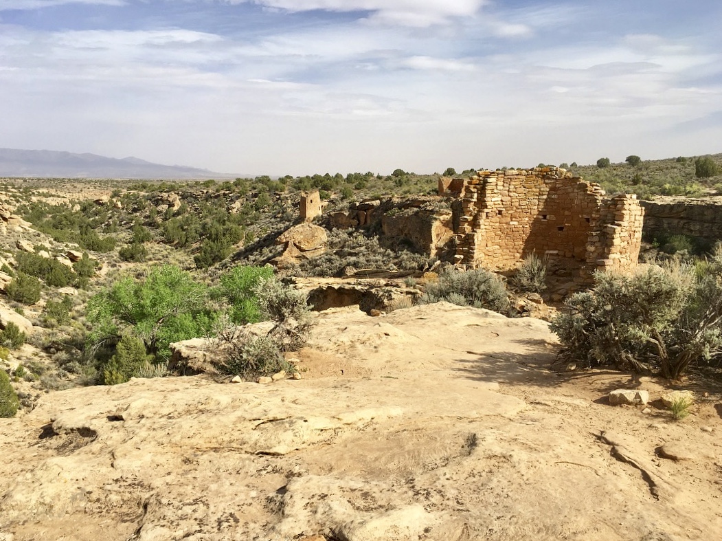
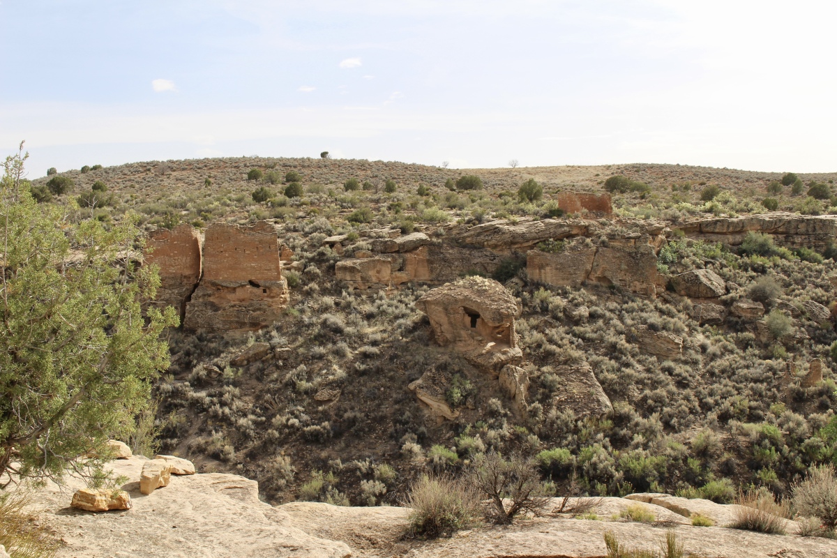
Petrified Forest National Park no longer has the types of forests we normally envision. Back in the day, and I mean during the Triassic Period some 225 million years ago, this part of Arizona was a tropical landscape with abundant vegetation – ferns, horsetails and cycads. Dinosaurs and reptiles roamed under the shade of 180-foot conifers, and fish, clams, snails and crayfish swished their way through rivers.
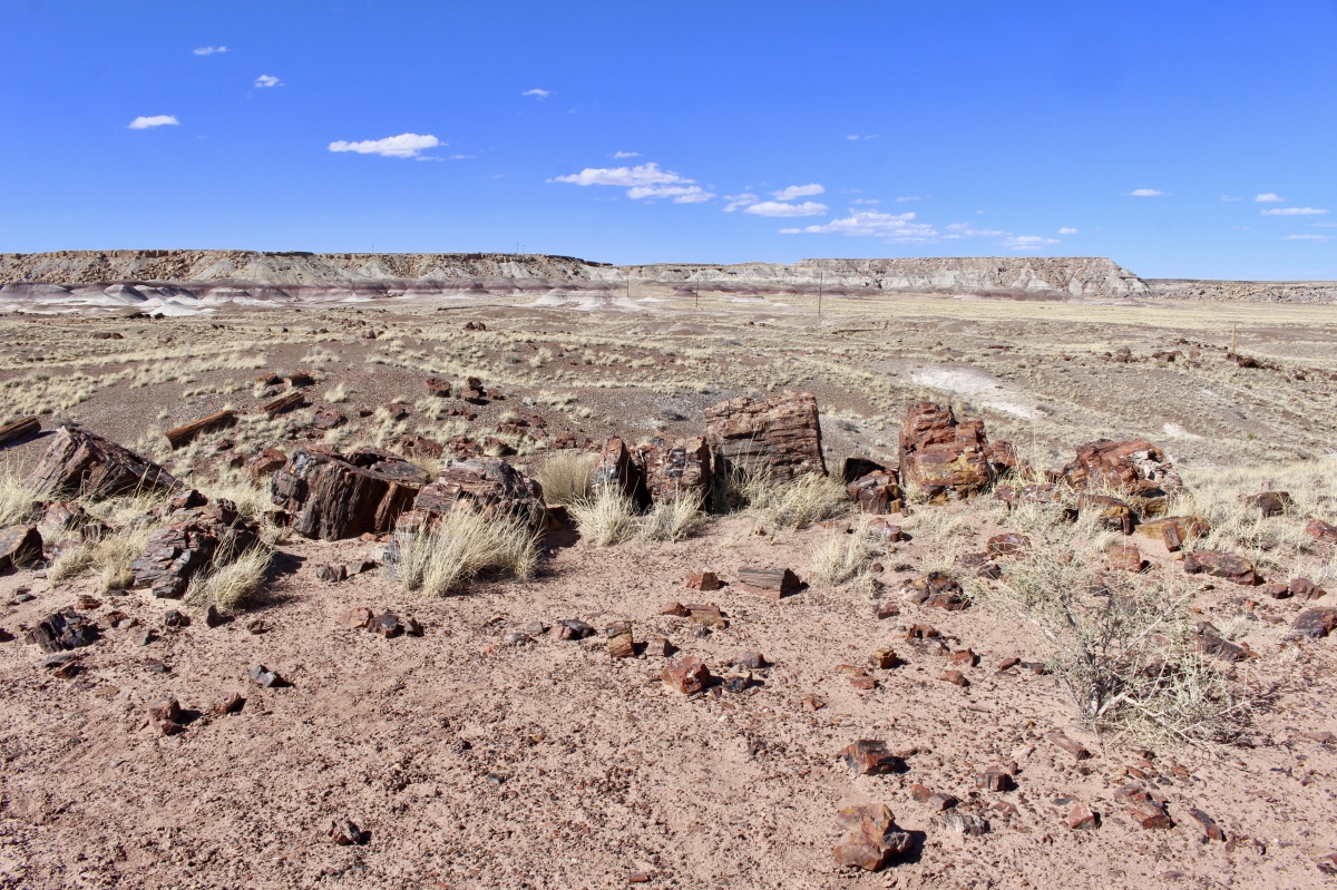
Over a period of 200 million years, continents moved, regions uplifted, climate changed, and the river system was buried by sediment layers. Today, what we find at Petrified Forest National Park are badlands and painted desert, petrified wood, plant and animal fossils, archeological sites, and artifacts from prehistoric people who once lived here.
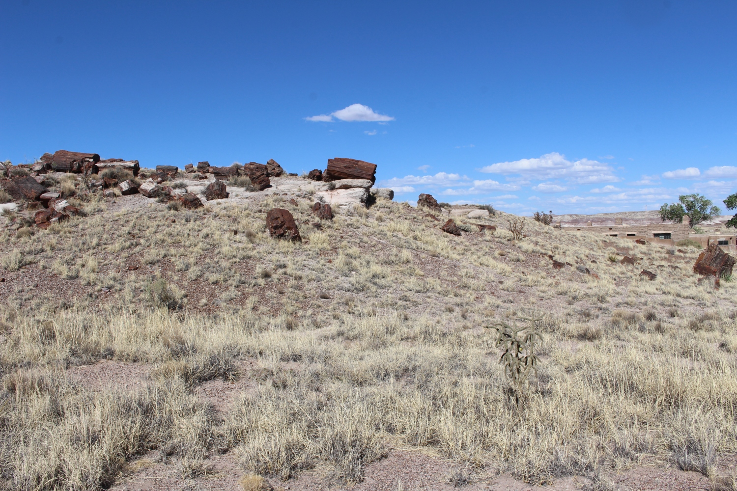
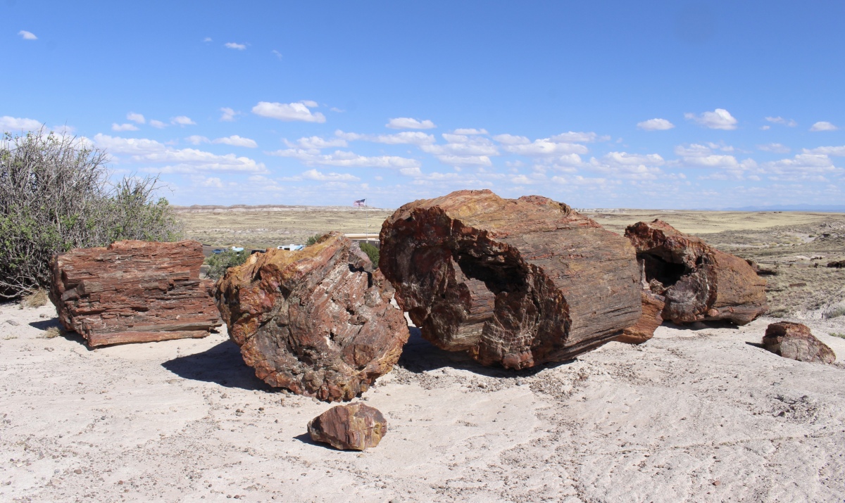
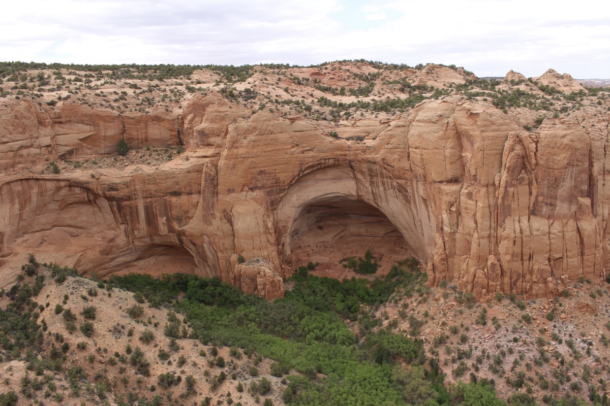
I entered the park through the north entrance late on Monday afternoon; I had meant to get an earlier start but had been waylaid by the remnants of Route 66 on my way across Arizona from Flagstaff. I drove 28 miles to the south entrance, stopping briefly at various scenic overlooks, and walked the Giant Logs Trail at the southern Visitor Center. This is only a 0.3 mile self-guided loop through a bunch of colorful petrified wood, but I took a few detours, making the walk longer.
Giant Logs
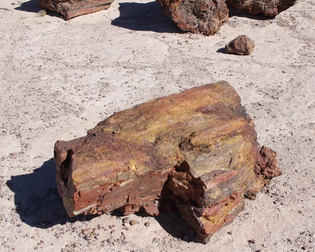
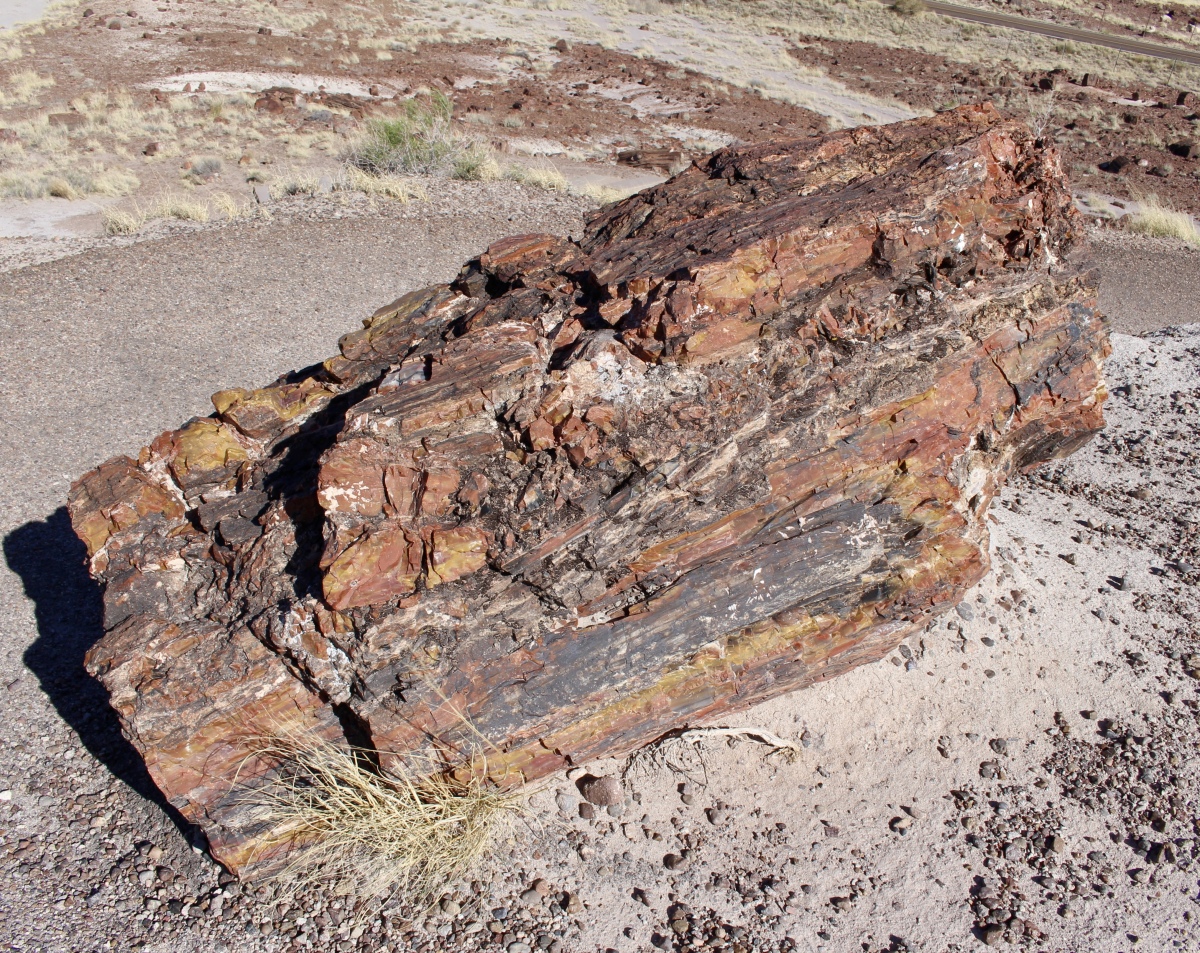
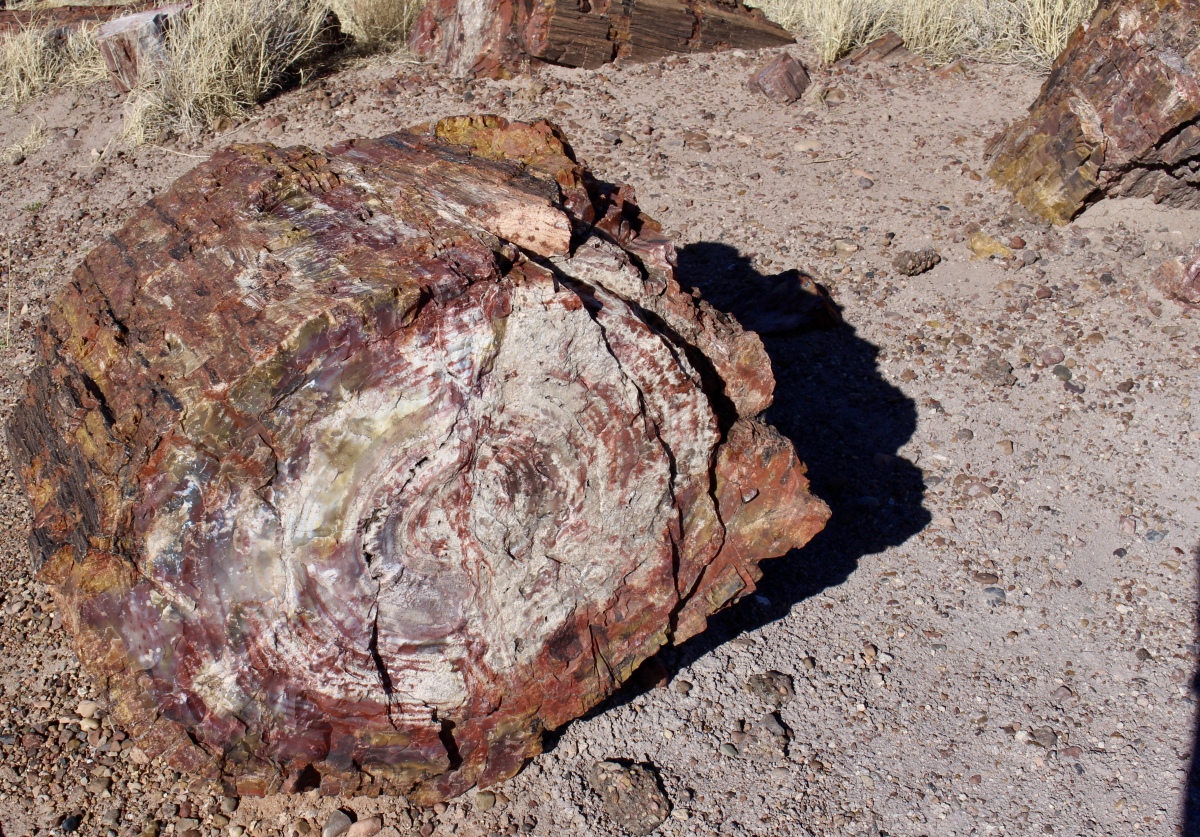
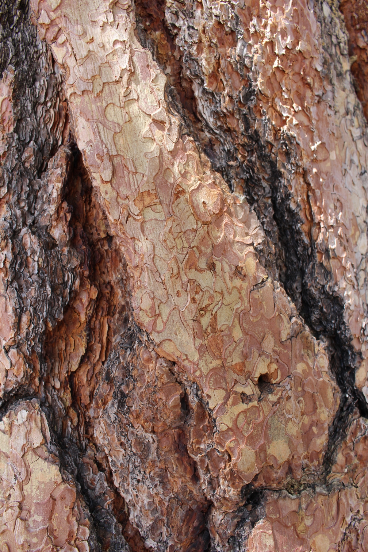
When the trees originally died some 216 million years ago, they fell into a river and were buried beneath layers of silt, mud, sand, and volcanic ash; these layers protected them from decay. Ground water saturated with minerals percolated through the layers, carrying silica from the volcanic ash. The absorbent dead wood soaked up these minerals; the silica, or quartz, crystals bonded with the cells of the tree replicating the organic material in perfect detail. Eventually, silica replaced the wood material.
This petrified forest is no longer made of wood, but of stone.
Giant Logs
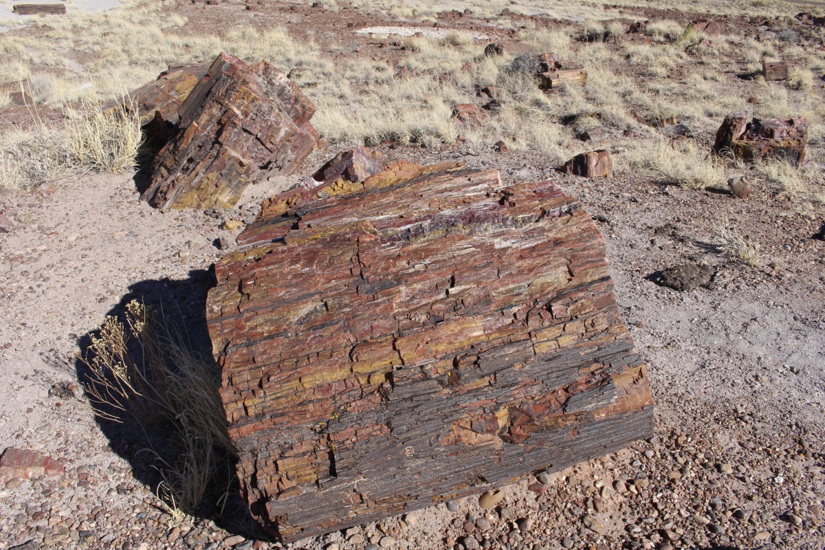
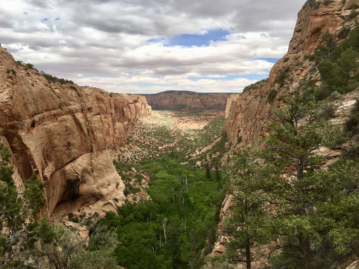
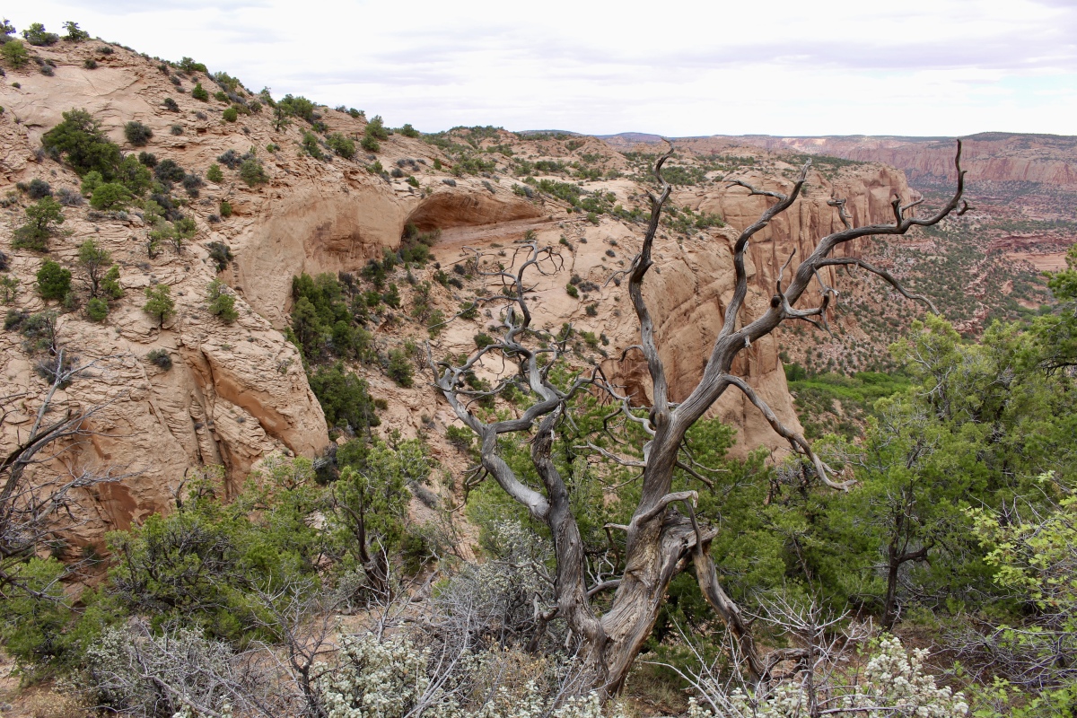
The trail leads through an ancient river bed, once surrounded by dense forest similar to the Amazon Rain Forest. All that’s left of the river today is the deposited sandstone. The trees fell into the river, becoming petrified log jams where the dead trees congregated, were buried, and petrified. This trial leads among log jams that have eroded to the present surface.

Giant Logs
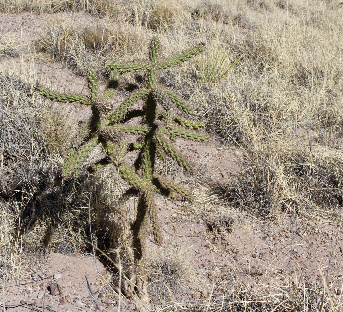
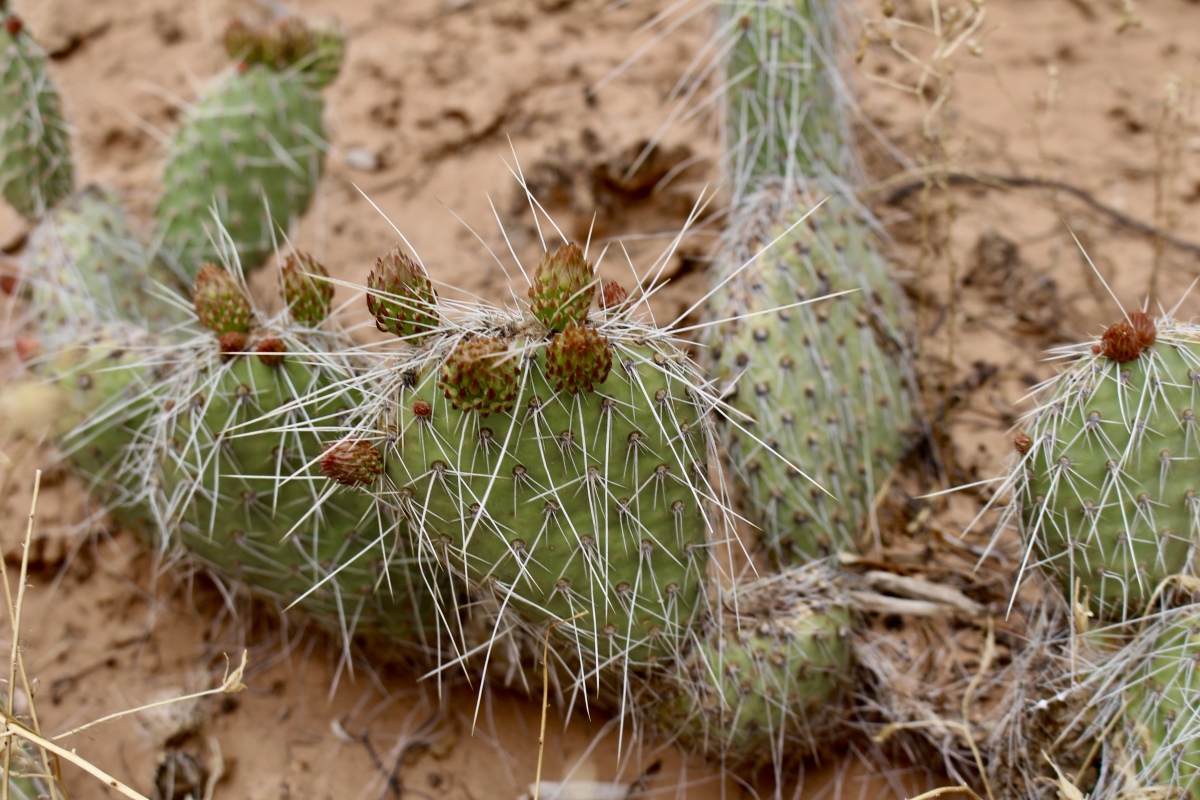
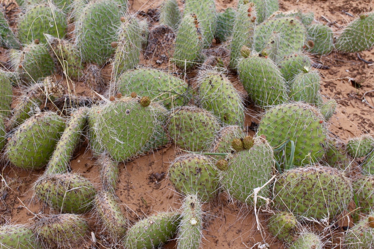
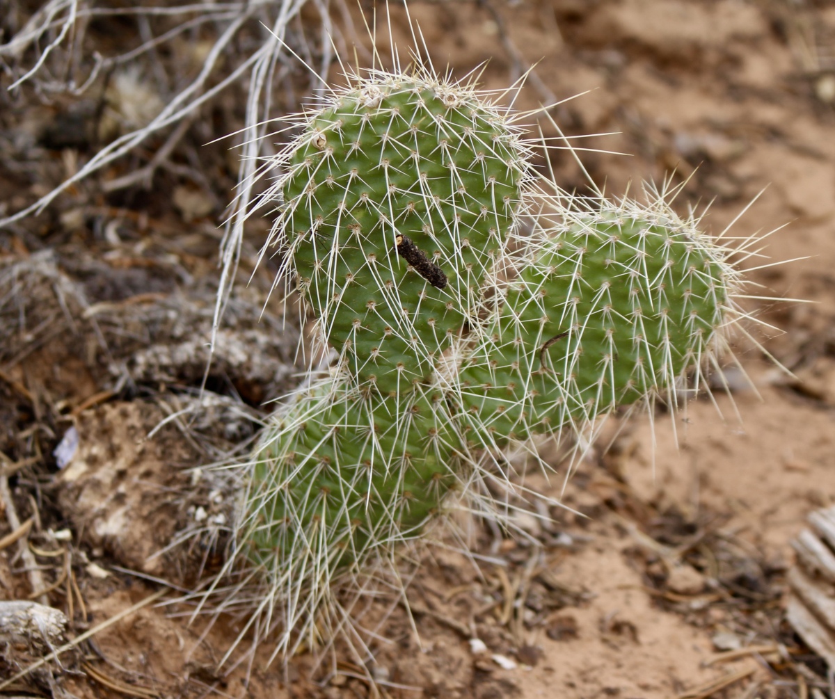
cactus
Giant Logs
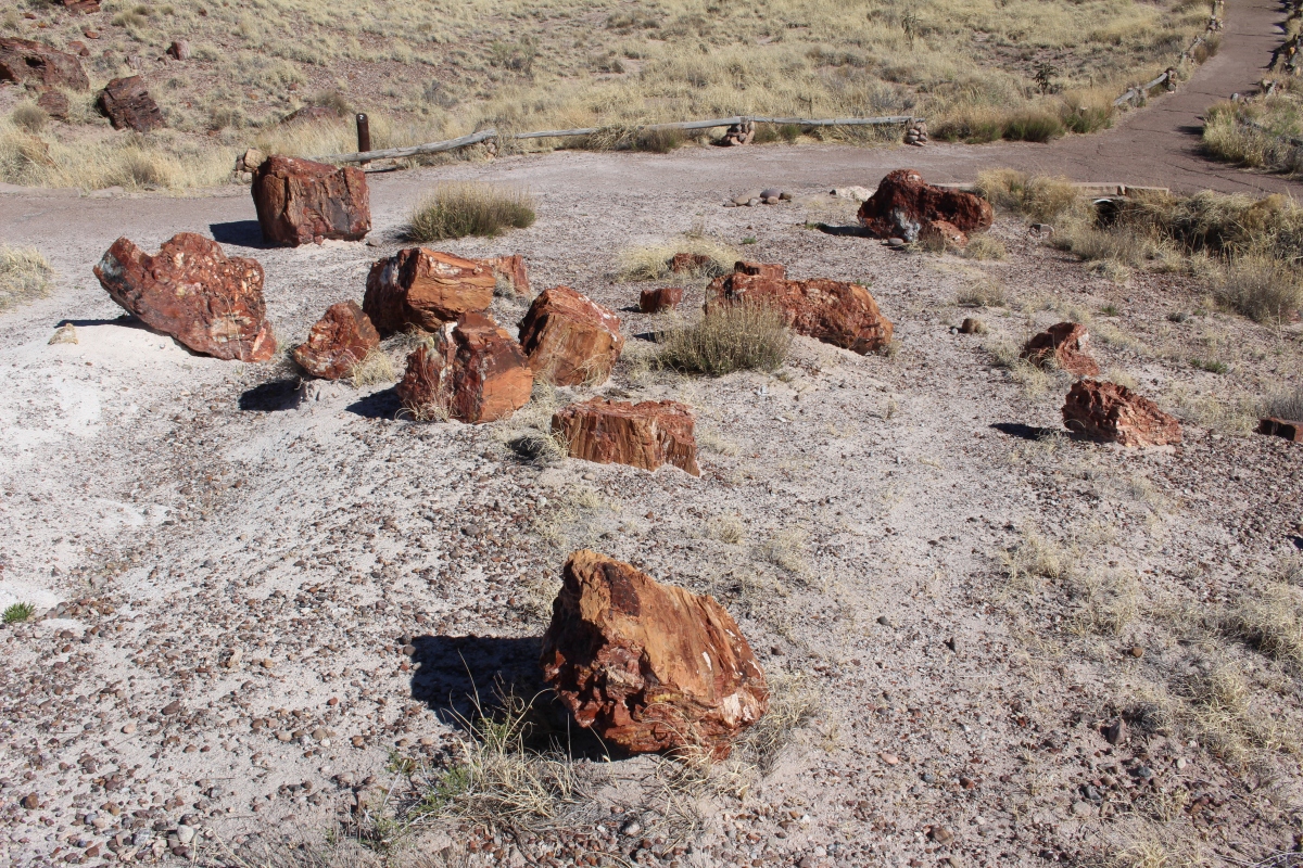
Giant Logs
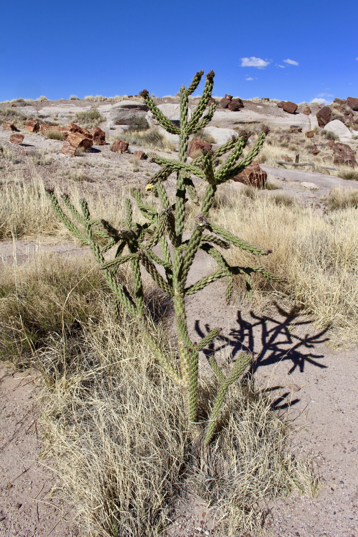
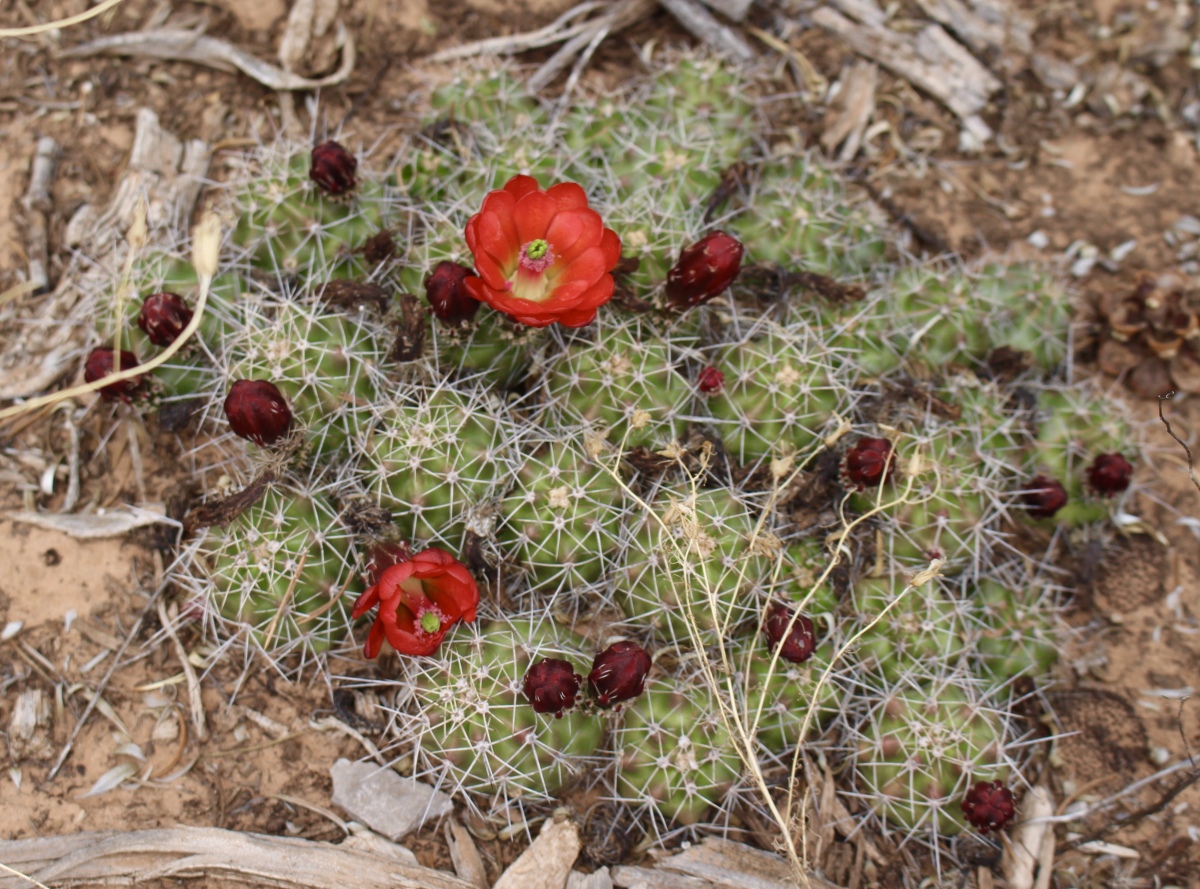
cactus
Giant Logs
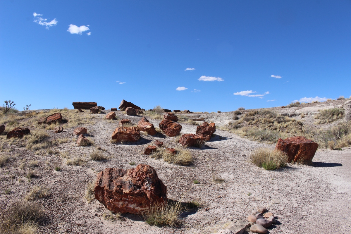
A variety of minerals created the rainbow effect in many pieces of petrified wood.
Giant Logs
Giant Logs
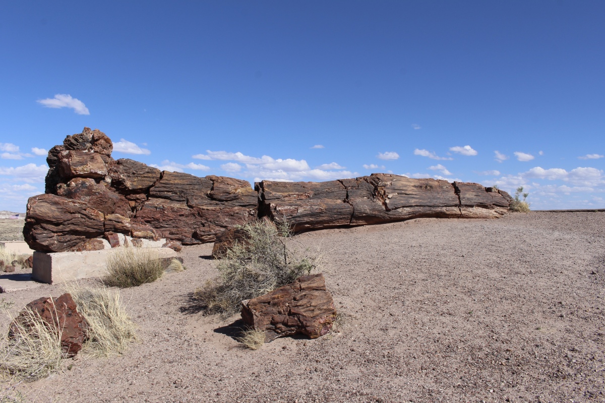
Old Faithful is a giant log previously called such names as “The Monarch” and “Major Domo.” It measures 35-feet (10.6 meters) long and weighs about 44 tons.
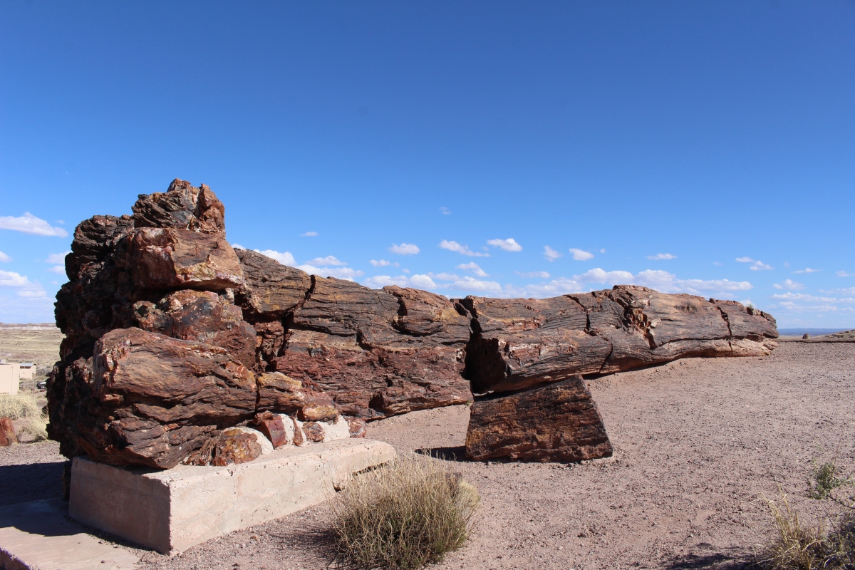
Old Faithful
A favorite visitor attraction, it was named Old Faithful in the 1920s, as it was seen as being what Old Faithful geyser is to Yellowstone National Park.
Old Faithful
Many of the logs bear trace fossils that record the movements of prehistoric animals: footprints, tracks, burrows, borings and feces.
Giant Logs
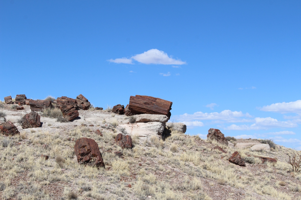
Though it looks like the wood is neatly cut by a woodchopper, it was actually broken by layers of dirt stacked to make hills. The weight of the dirt crushed the logs, breaking the petrified wood neatly. Silica naturally breaks at a clean angle, much like a dropped piece of chalk.
Giant Logs
Giant Logs

Giant Logs
Nearly a dozen types of petrified wood have been formally identified at Petrified Forest, showing it was once a diverse healthy ecosystem.

Giant Logs
Here are some of the fossils displayed in the Rainbow Forest Museum & Visitor Center.
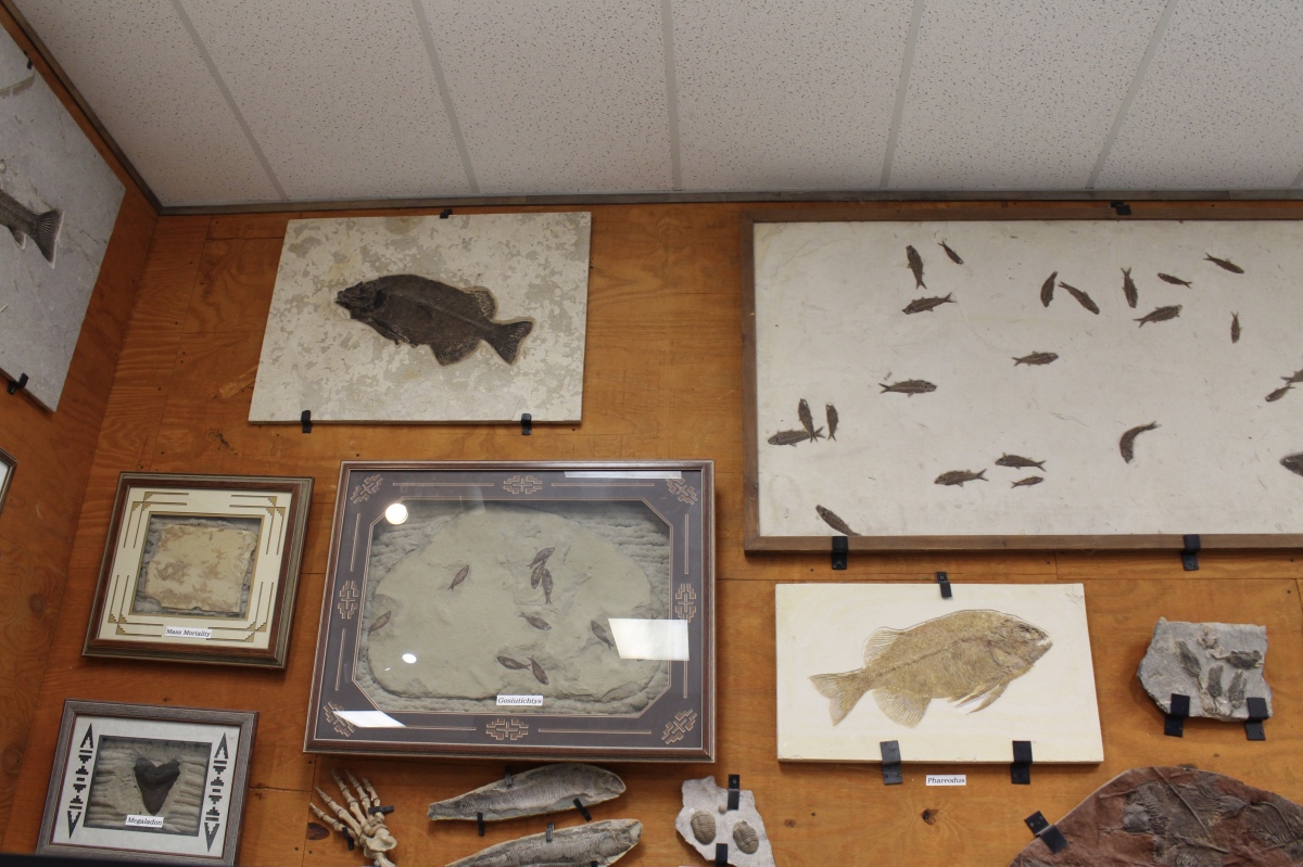
fossils in the Rainbow Forest Museum & Visitor Center
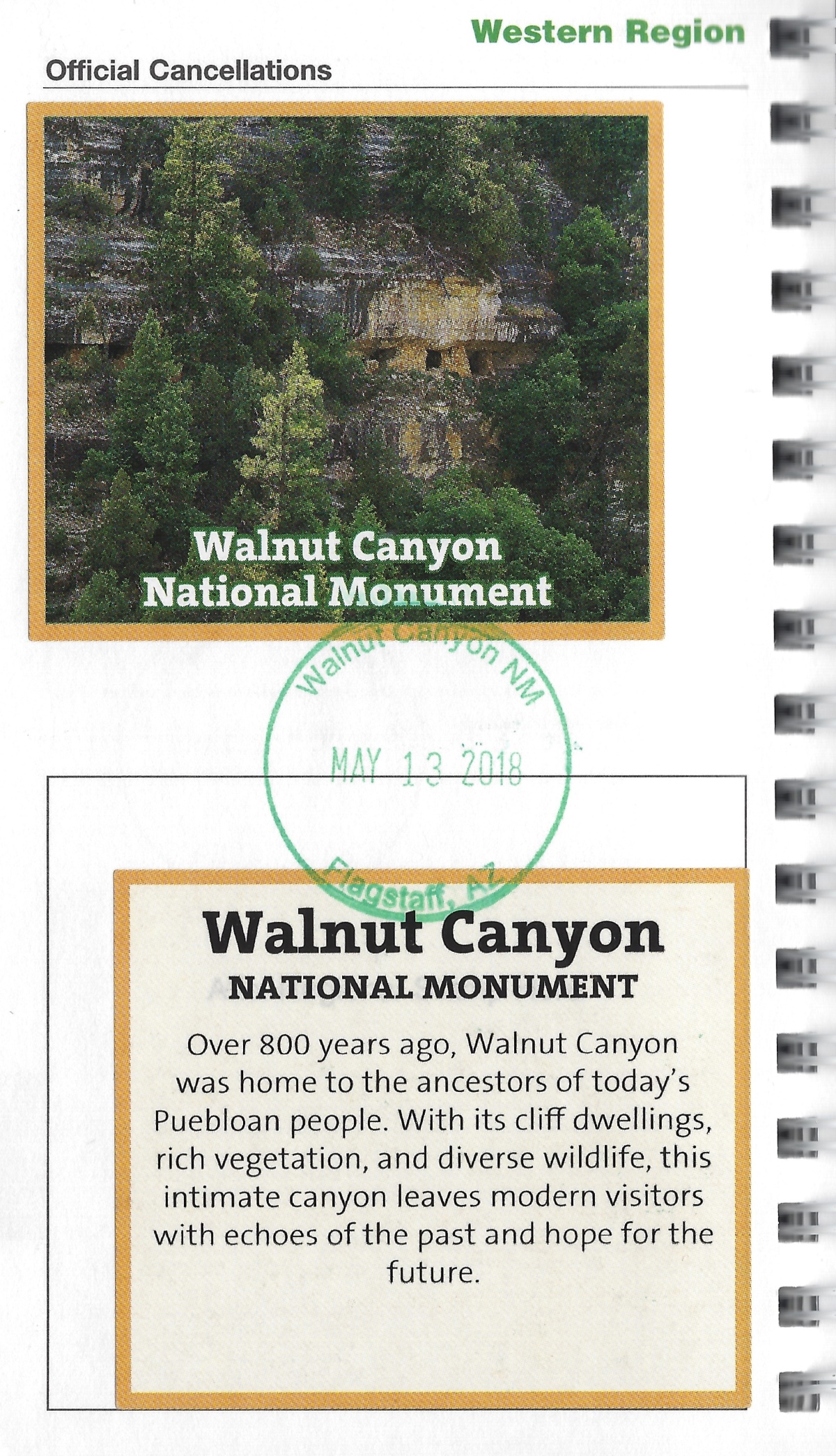
I got my sticker and stamp at the northern Visitor Center on Monday, and I returned the next day for some longer walks in the park.

Petrified Forest National Park stamp for today
*Monday, May 14, 2018*
***********************
On Sundays, I plan to post various walks that I took on our Four Corners trip as well as hikes I take locally while training for the Camino de Santiago; I may also post on other unrelated subjects. I will use these posts to participate in Jo’s Monday Walks or any other challenges that catch my fancy.
This post is in response to Jo’s Monday Walks.


You must be logged in to post a comment.