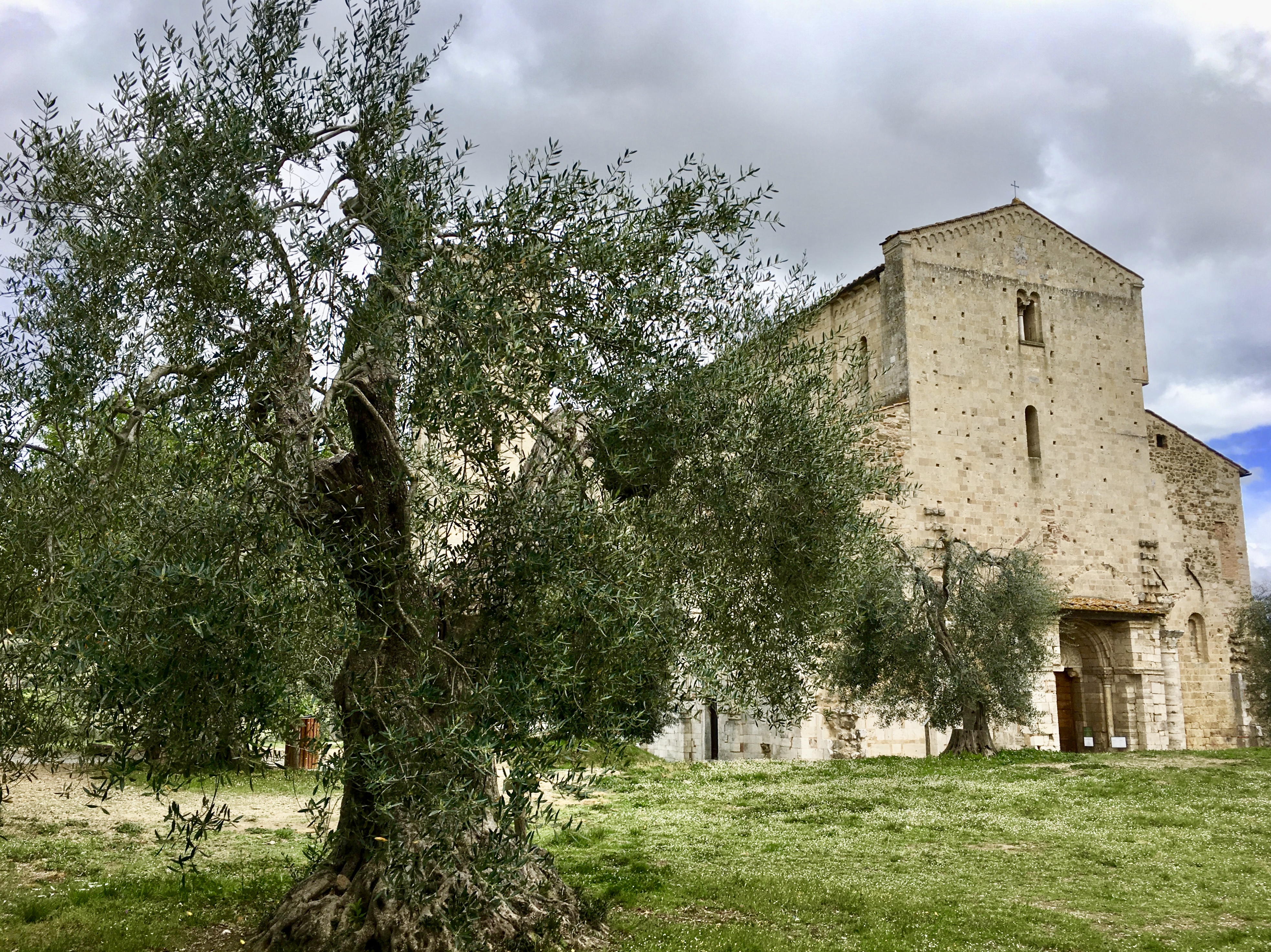
A young woman in the breakfast room at New Victorian Inn & Suites this morning said she’d hardly ever left her small town in Nebraska. Her father drove a big rig and she went on a long trip with him when she was 12. Her brother moved to Cincinnati and when she drove to visit him once, she was terrified of the big highways, especially around Chicago and other cities. I thought about how sheltered so many people are, and how different we all are.
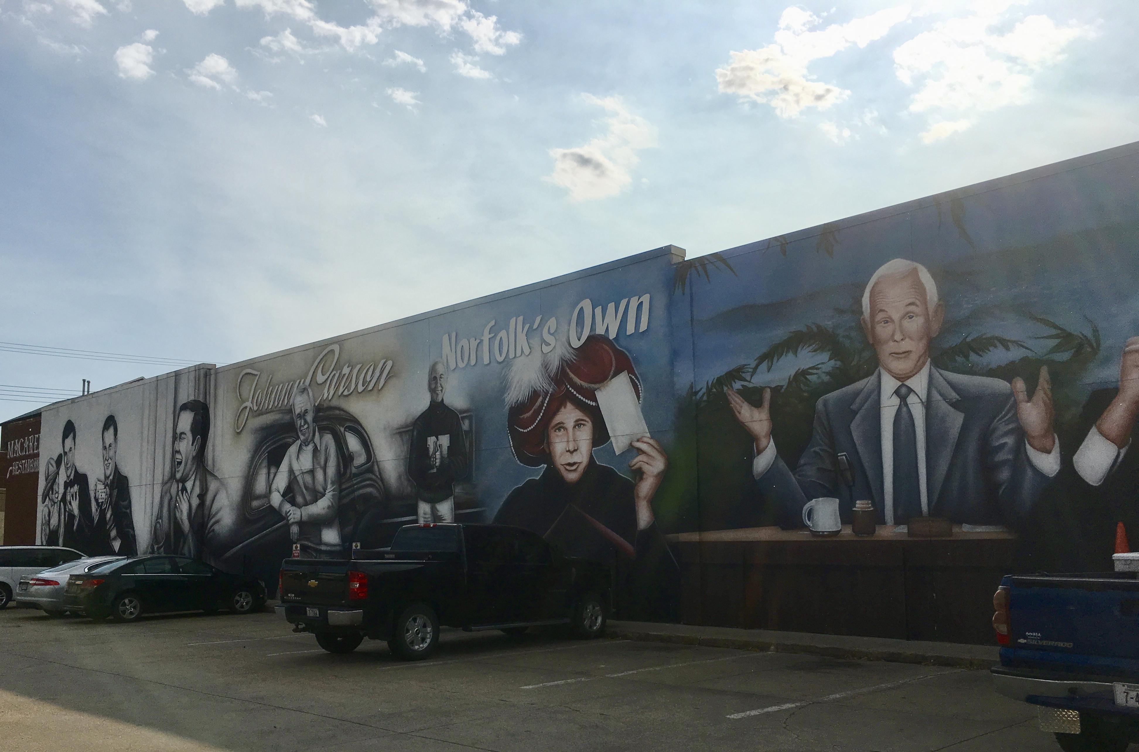
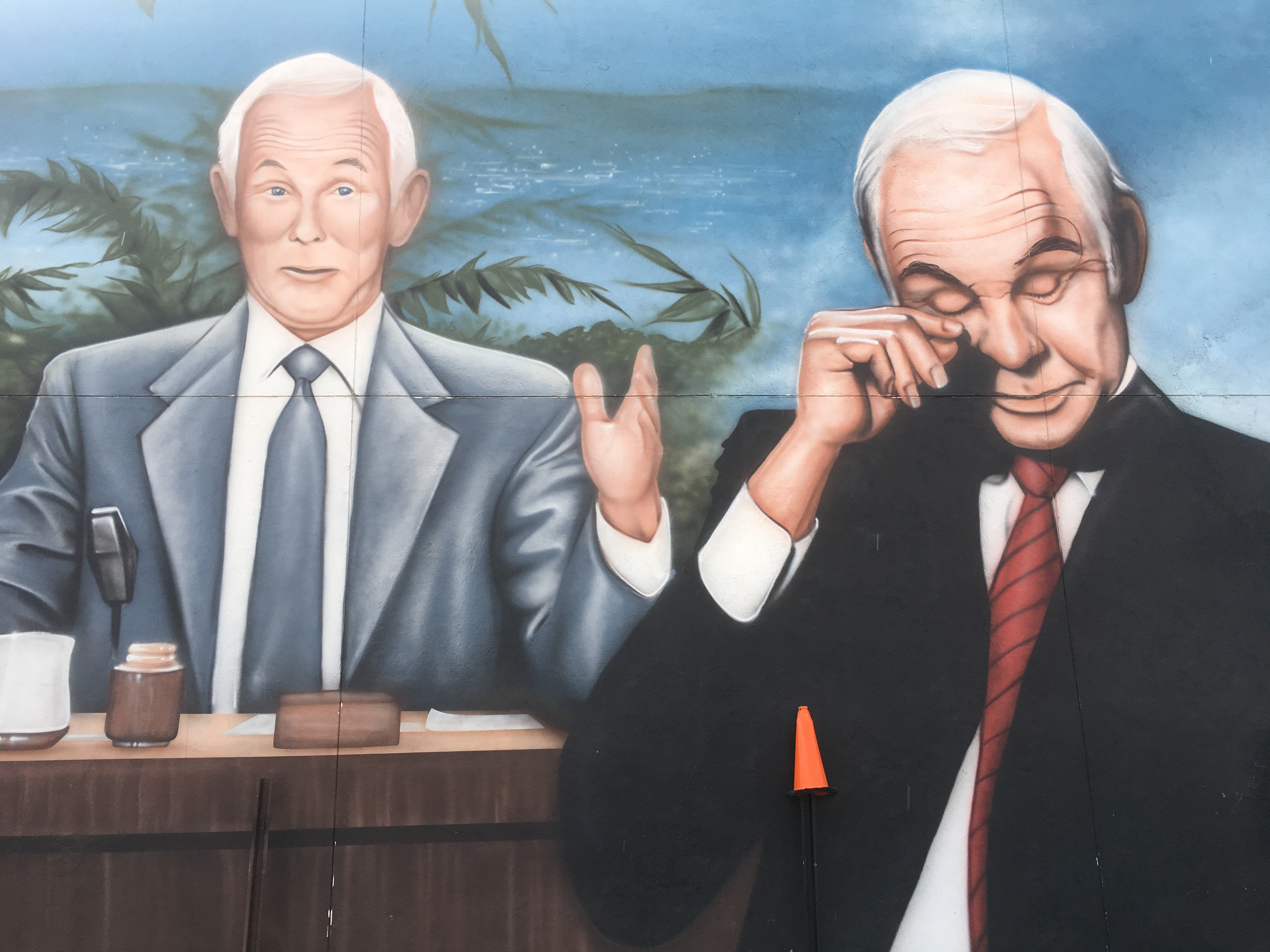
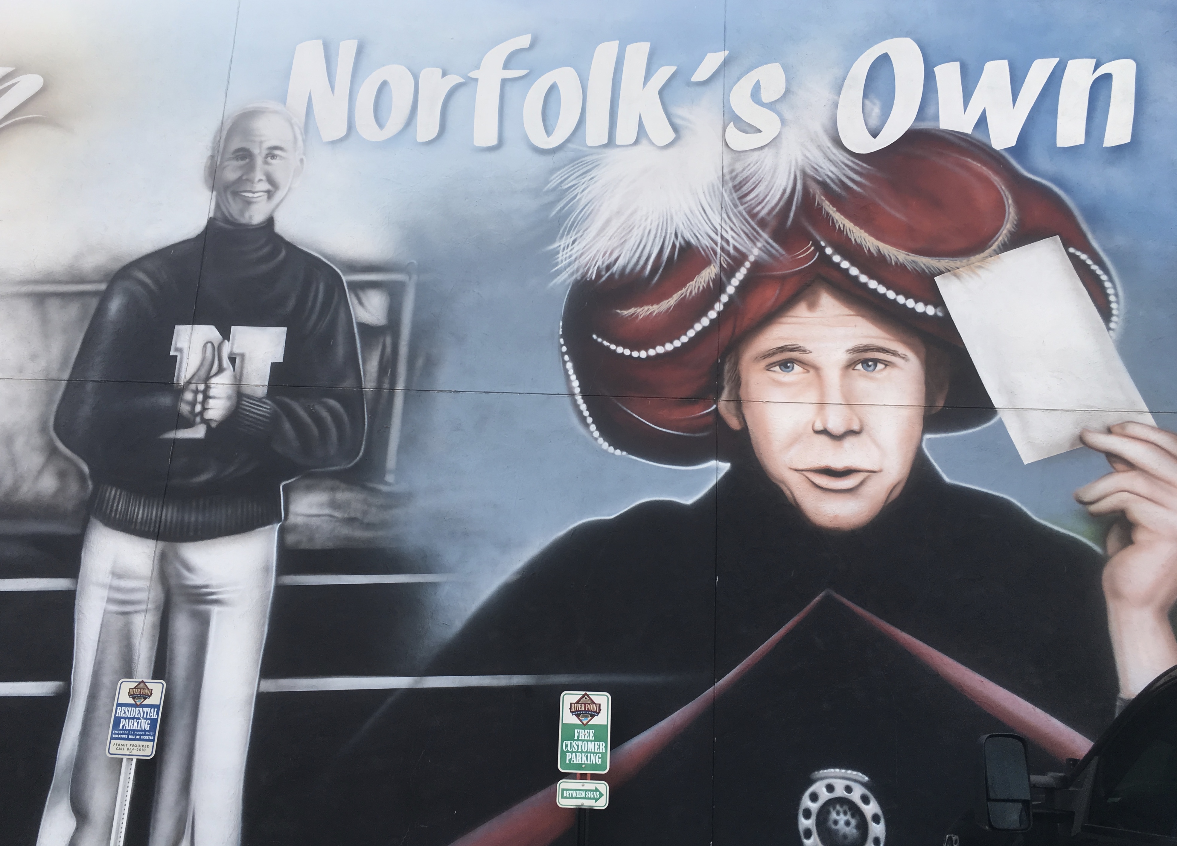
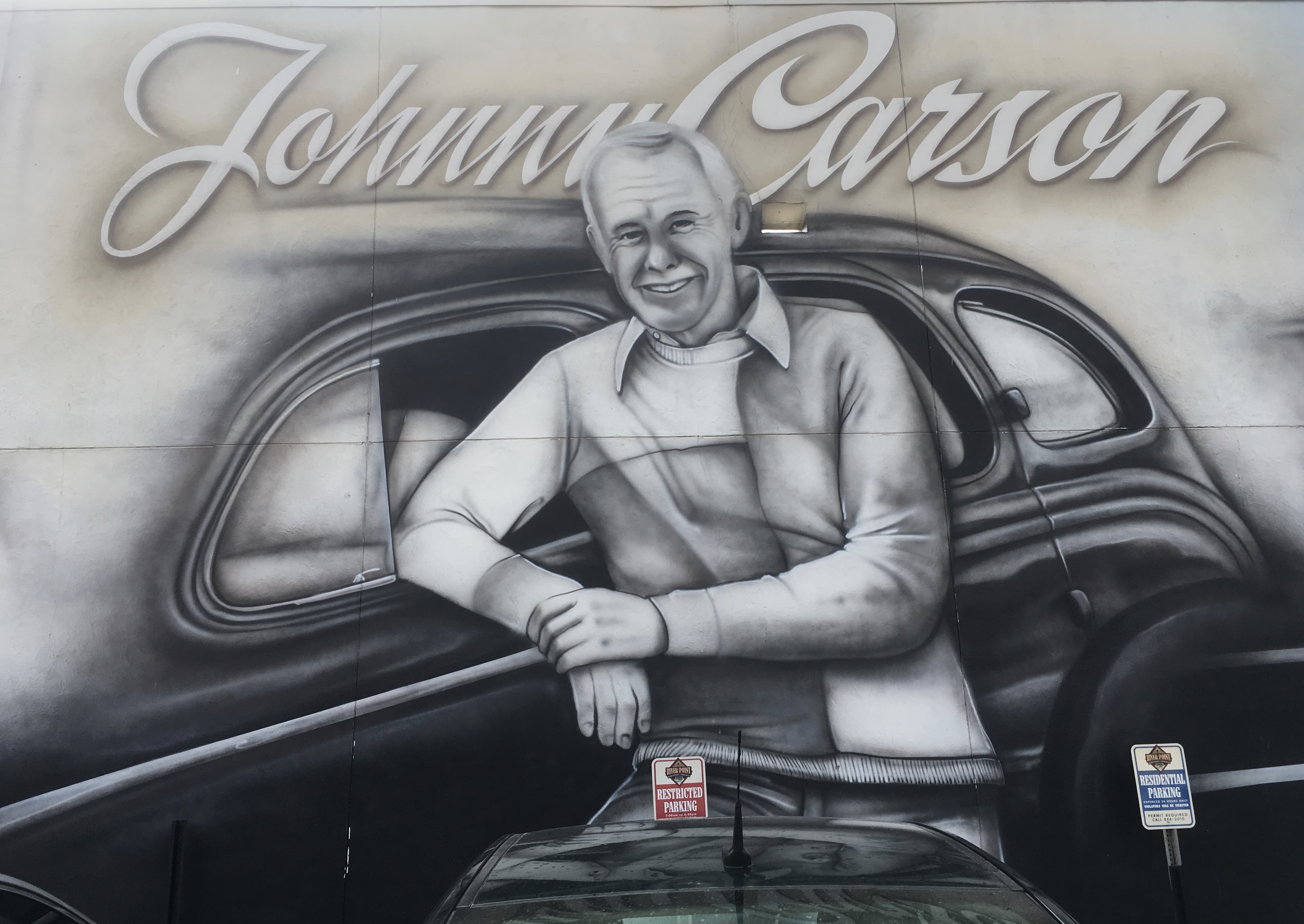
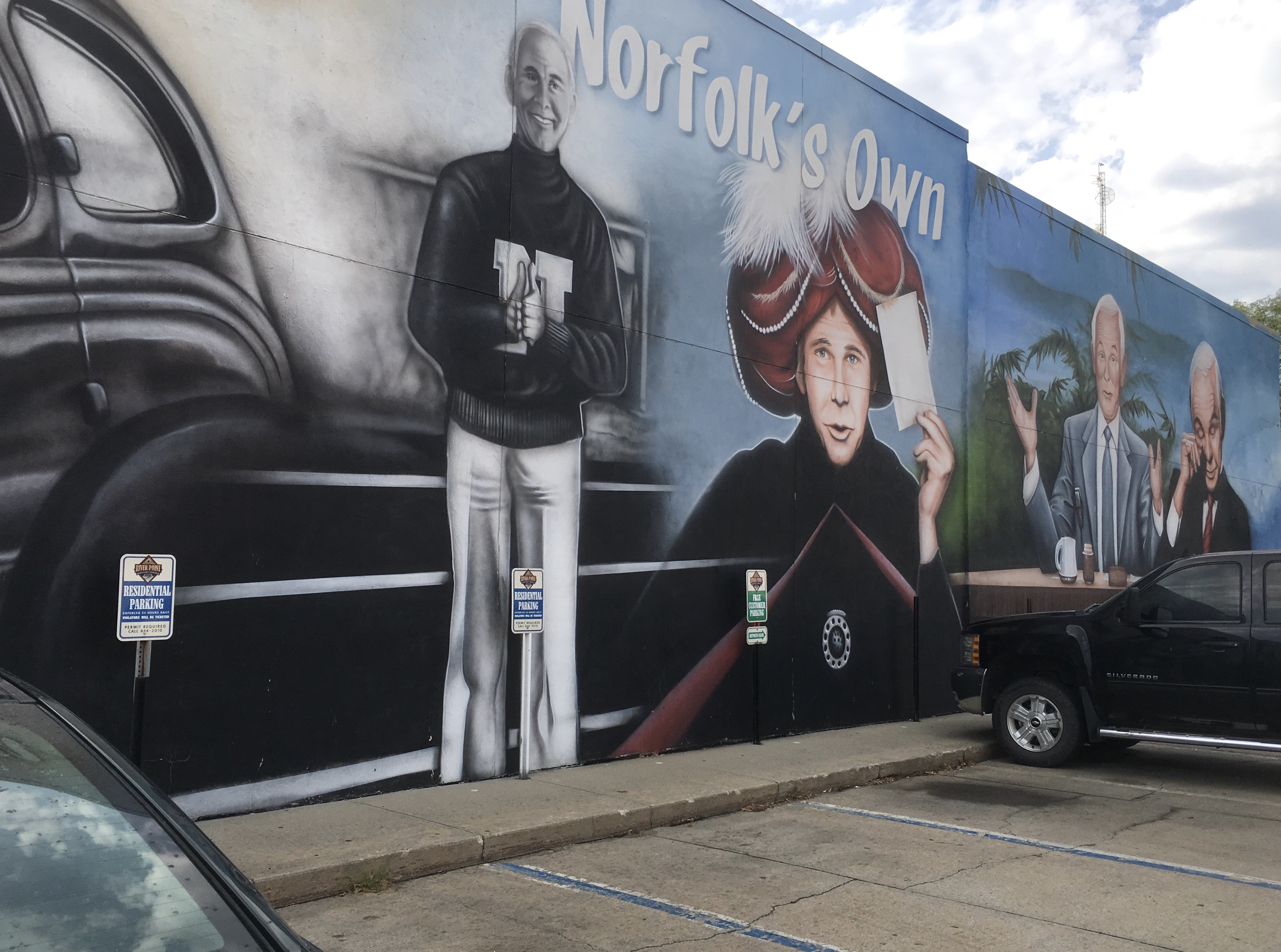
I left Norfolk, Nebraska and passed a sign for Busch: Proudly Brewed with Corn from America’s Heartland.
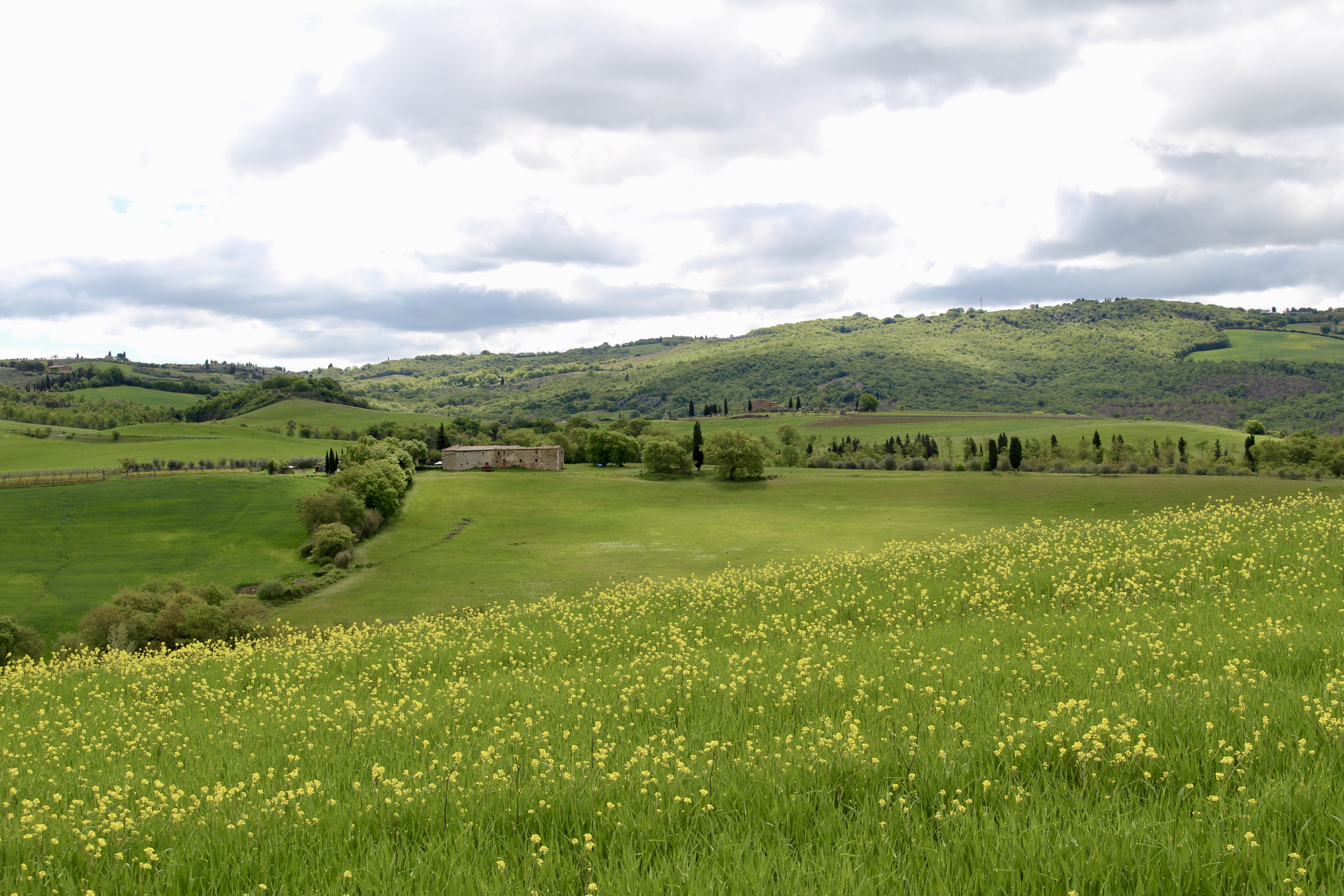
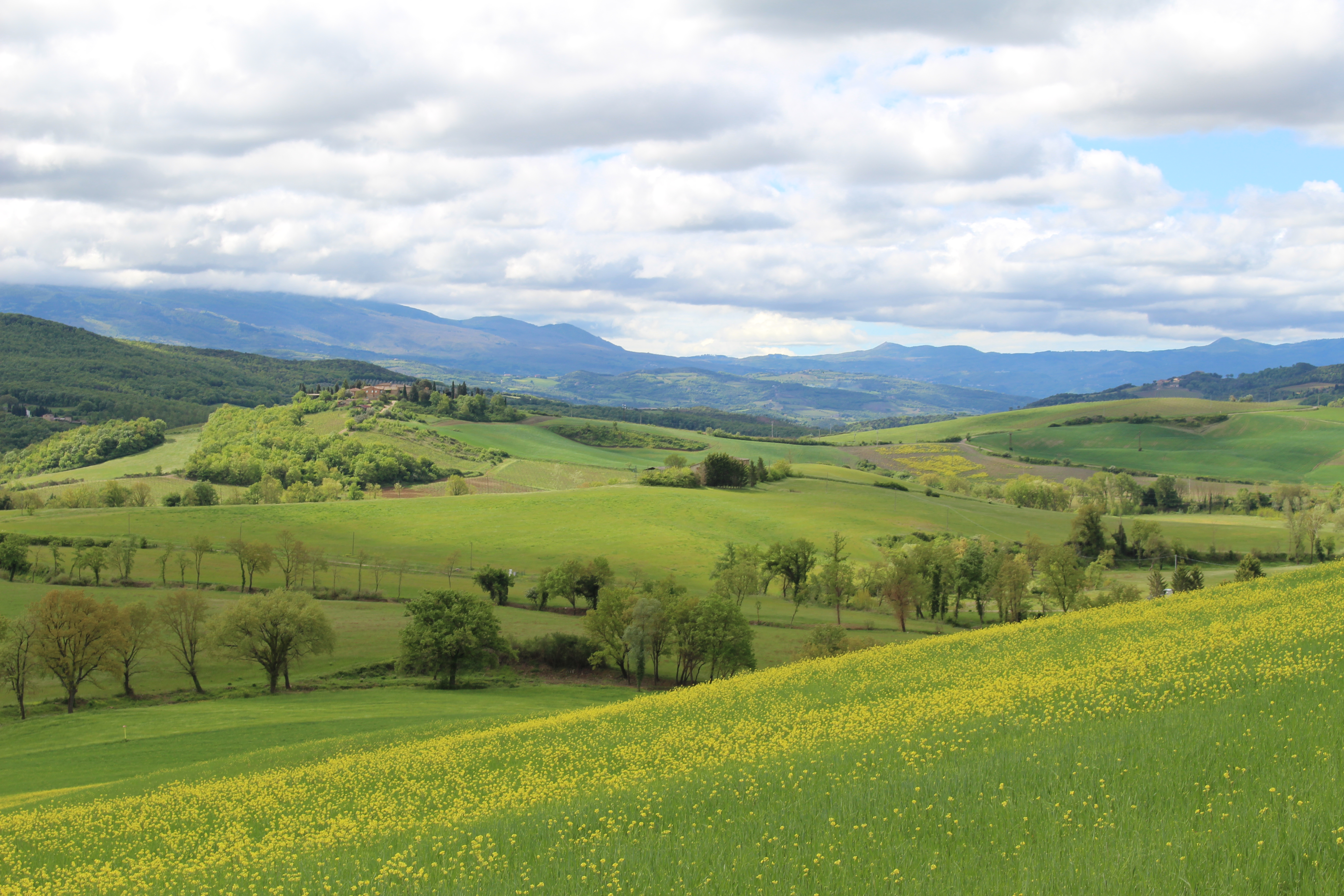
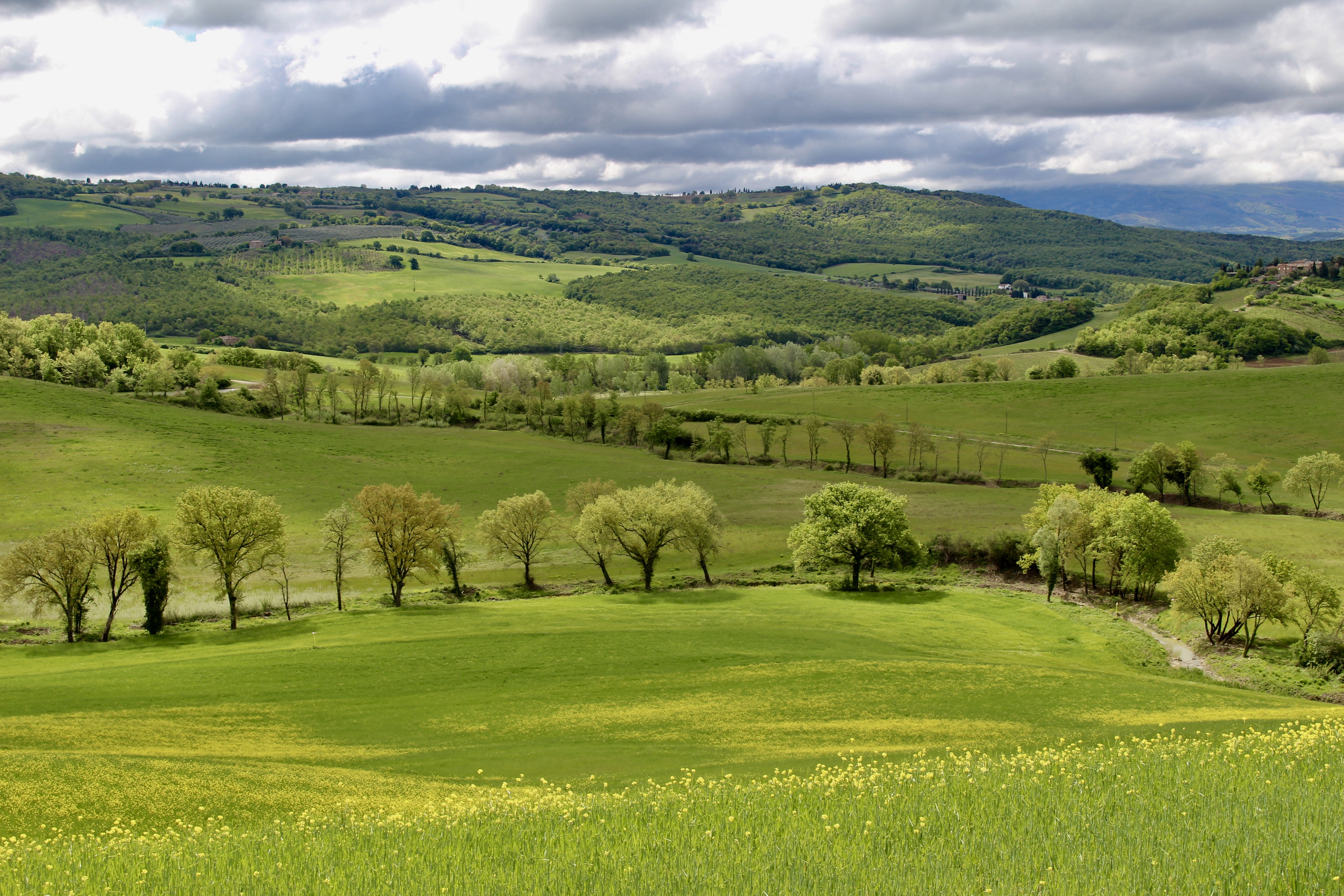
Seeing that sign along with the sweeping expanses of cornfields got me thinking about all the uses for corn. I found later that corn is used as a food or food additive, for ethanol in the oil and gas industry, corn-based plastics, cough drops, diaper production (as an absorbent), matchsticks, carpets and textile products, coloring and dyes, Vitamin C, crayons to help paper labels adhere, an ingredient in yogurt, glue and other adhesives, candies, toothpaste, dish detergent, paper, clothing, dyes, explosives and soaps.
Cornstarch is used as a electrical conductor in batteries, in cosmetics and hygiene items such as deodorant and hand sanitizer. It helps drugs hold their form and helps tablets disintegrate after they’re ingested.
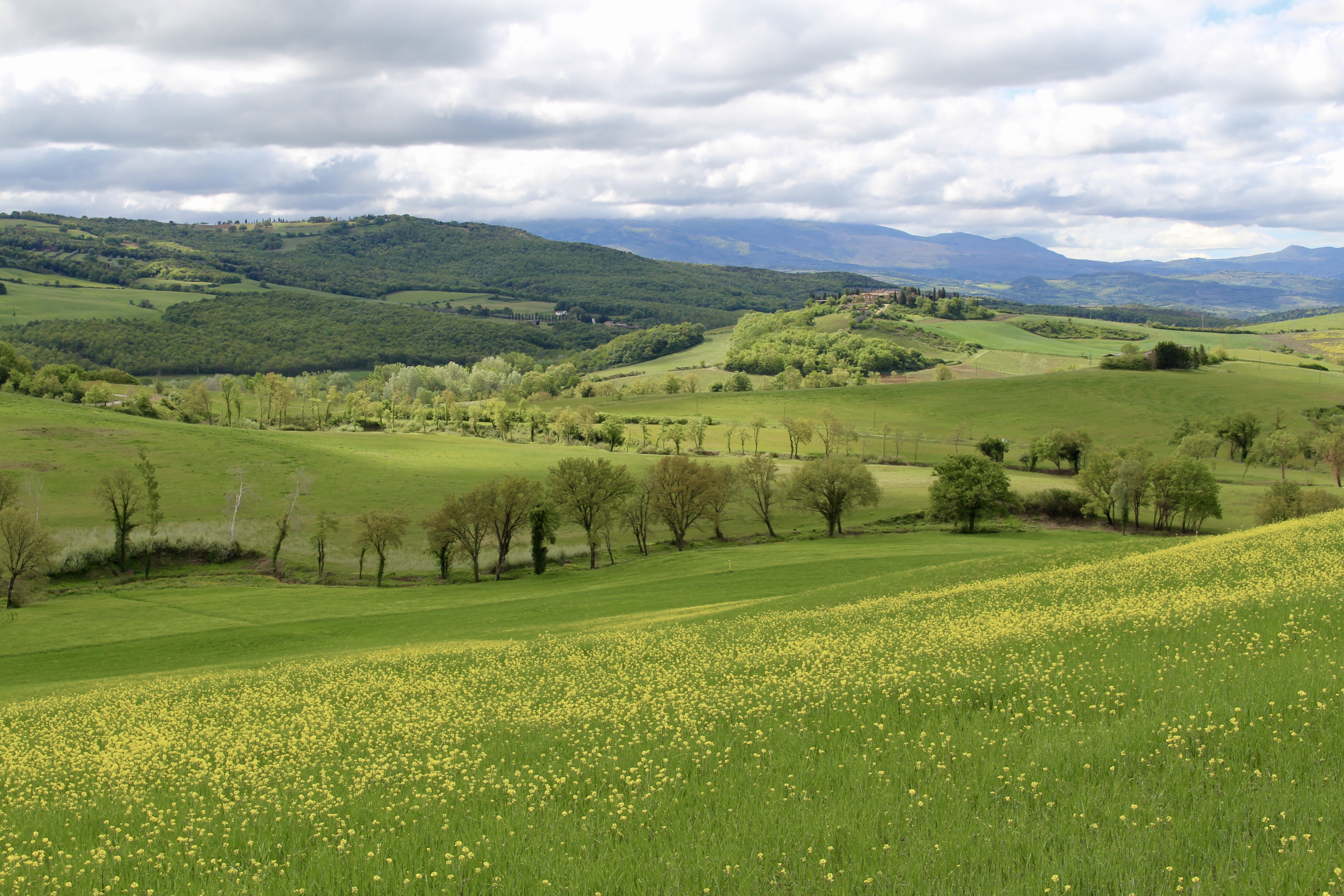
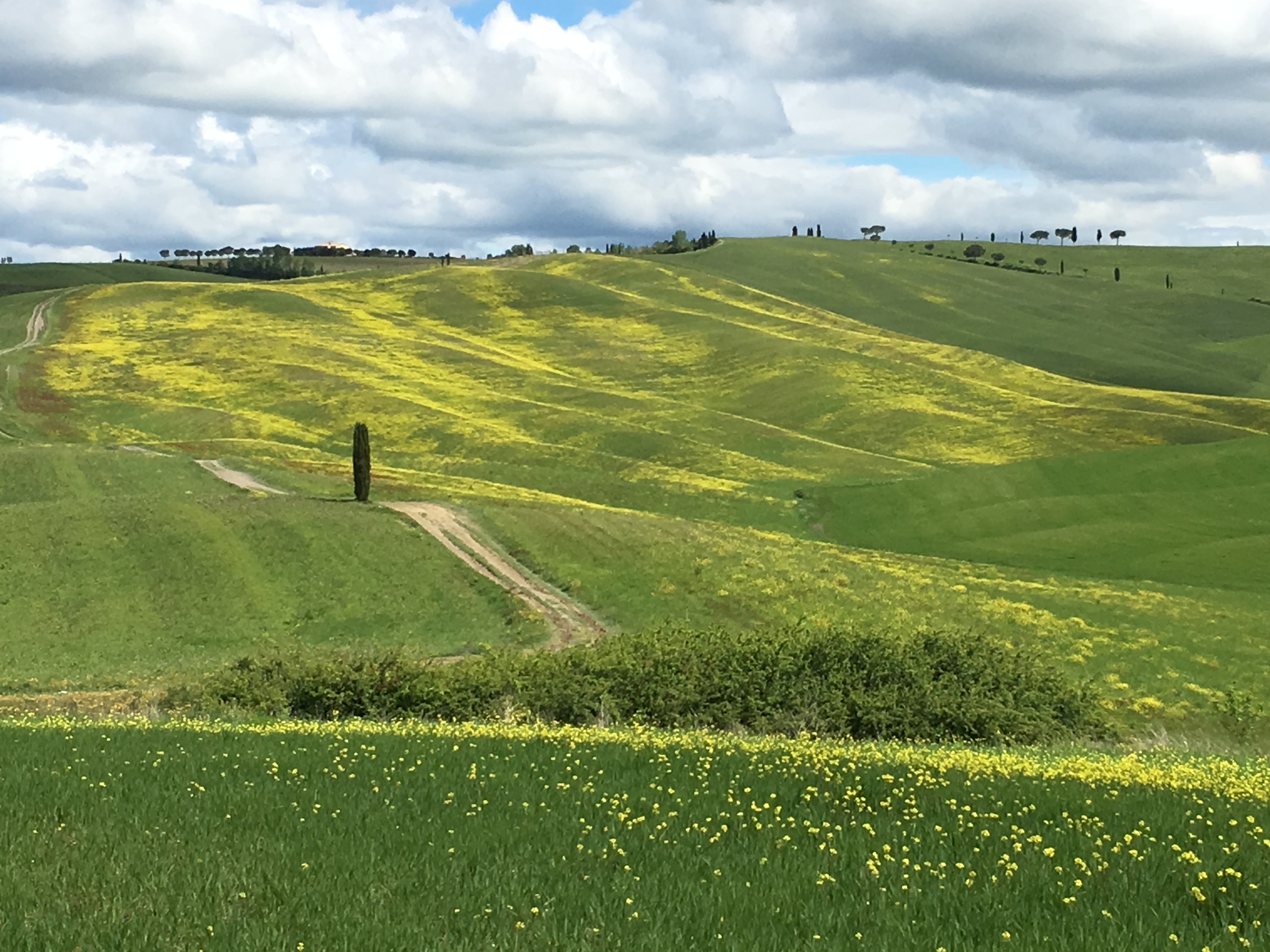
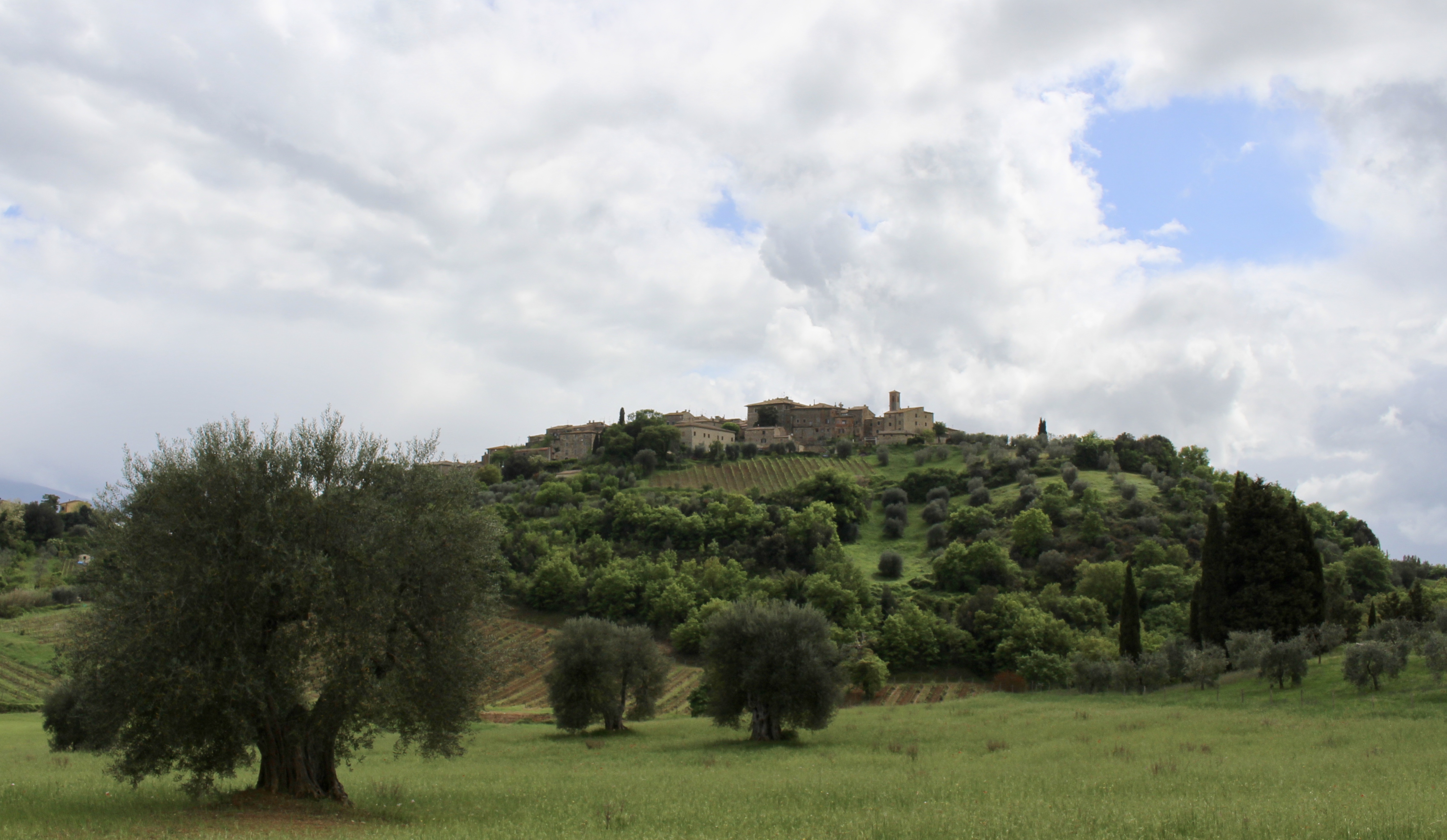
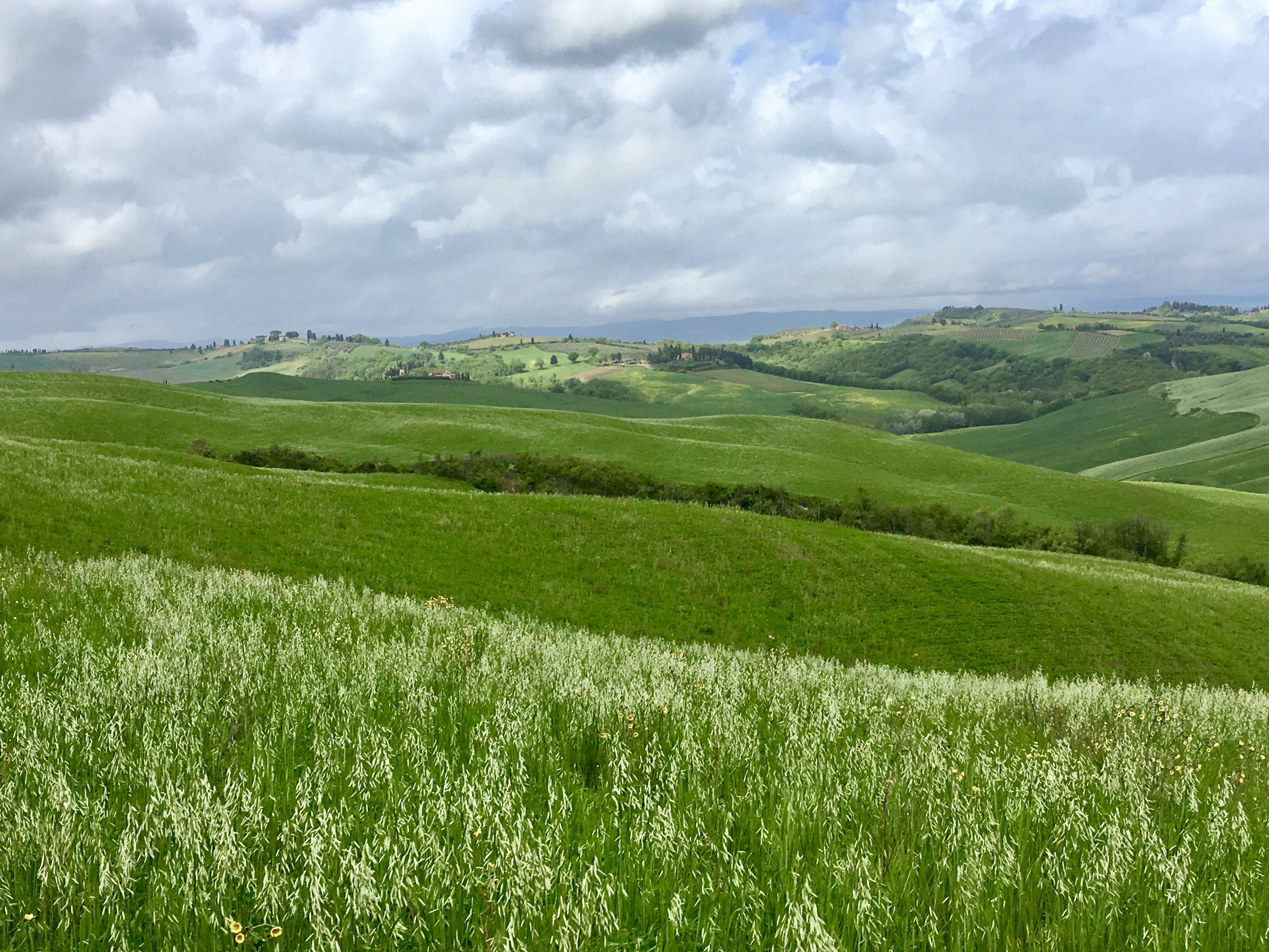
I continued to drive through more endless cornfields. Kasey Musgraves sang about how we settle into a town just like dust. Cows placidly grazed. I loved the sharp ridges made by the corn rows. A dead raccoon lay along the roadside, his ringed eyes closed forever. On a barn was painted: LAND OF THE FREE – BECAUSE OF THE BRAVE.
I had a lot of driving and too much time to think. I wondered: How do farmers get gas for their farm equipment? Farms in the midwest are so expansive and isolated that farmers must have to drive incredibly long distances to get fuel. And they can’t drive their heavy pieces of equipment on the road to get gas. I found that most farmers have an elevated fuel tank and use gravity to transfer fuel from that to the tractors. A fuel supplier delivers fuel by truck and the delivery truck has a pump to get the fuel into the elevated tank.
Driving through Nebraska reminded me of walking through the Meseta on the Camino. There was no place to stop or sit down. Sheryl Crow sang “Gasoline” and said “we’ll be free!” Cars do give us so much freedom. A dancing flock of birds swooped and parted and pirouetted in the sky over a pretty little pond and weathered barns, cattle and endless sprinkler systems.
I wondered more things: What do farmers do with hay bales? I found the bales are stored for the animals to eat during the winter when the grass is not growing. In many parts of the world, farmers depend on hay to feed their cattle, sheep, or horses during the long winter period.
I also wondered: How on earth do farmers manage so much acreage? Seeing the size of these farms made me wonder how it was possible to manage so much.
Black and white cows grazed peaceably together, and I wondered why man can’t do the same.
I was amazed when I traveled to see so many people going about the business of life while I lived my life as a person with my head either in the clouds or in books.
Soon, I passed simultaneous signs: Welcome to Yankton. Welcome to South Dakota. Missouri National Recreation River.
I went by the Missouri National Recreation River park headquarters “contact station” and got my cancellation stamps. The ranger advised me how to visit all the sites.
The Missouri National Recreation River comprises two free-flowing reaches of the Missouri River separated by Lewis & Clark Lake. The 39- and 59-mile districts lie on either side of the 98th Meridian, which is the eastern border of the Great Plains.
I decided to focus today on the 59-Mile District, the eastern portion (from Gavin’s Point Dam to Ponca, Nebraska). It exhibits the river’s historic, dynamic character in its islands, shallow bars, chutes and snags.
I wouldn’t have time to visit the 39-Mile-District from Fort Randall Dam to Running Water, SD.
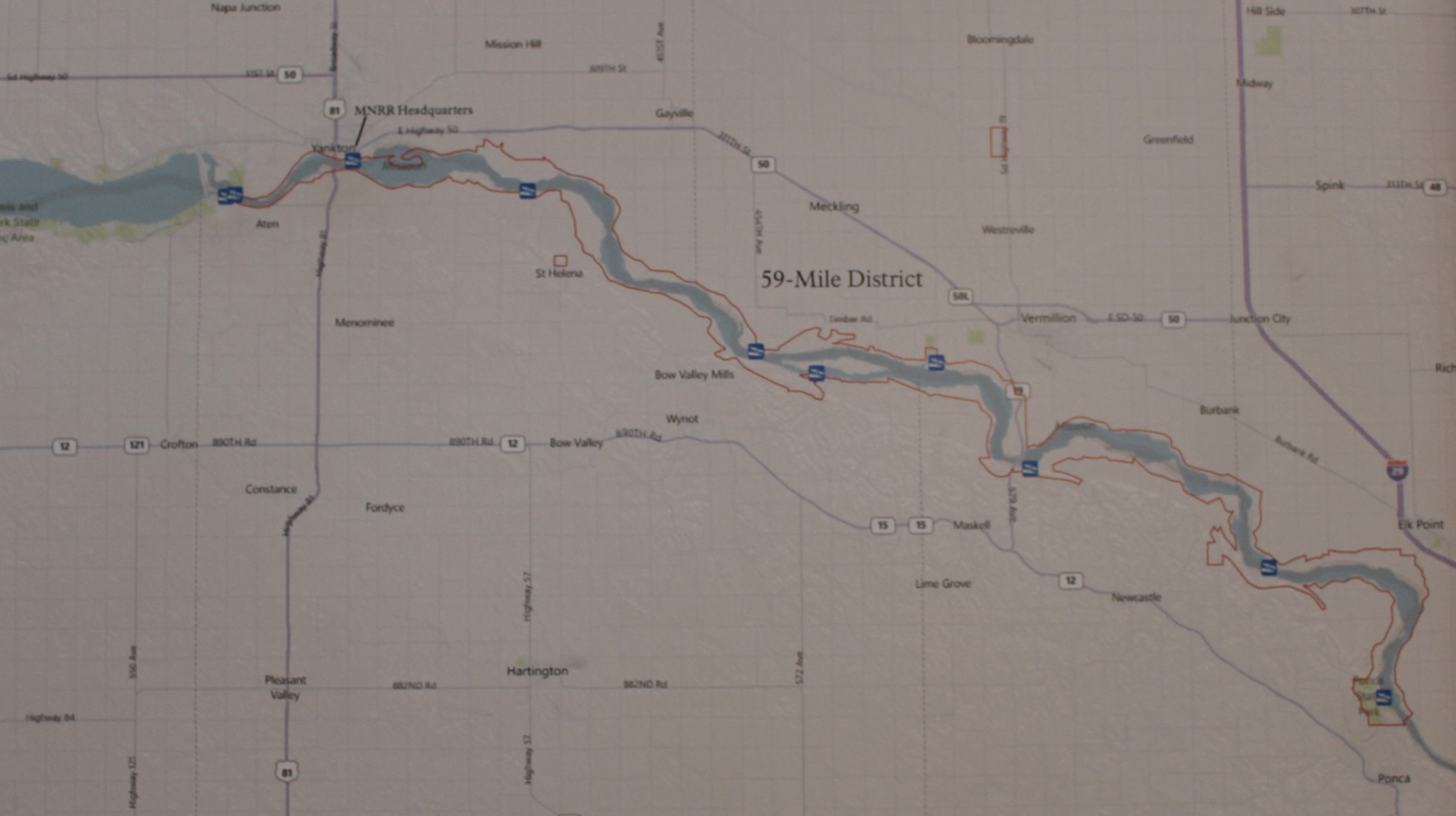
The 59-Mile District of the Missouri River
In 1804-06, Captains Meriwether Lewis and William Clark led about 40 soldiers and boatmen on an epic journey. President Thomas Jefferson commissioned this “Corps of Discovery” to find a route to the Pacific Ocean through the newly acquired Louisiana Territory. Along the way, they mapped the land, recorded its resources, and contacted its native inhabitants.
In preparation for the journey, Meriwether Lewis took crash courses in medicine, botany, zoology, and celestial observation. With President Jefferson’s permission, Lewis asked his friend and former commanding officer, William Clark, to be co-leader. Clark brought his skills as an outdoorsman, a geographer and map-maker. Although opposite in temperament, they worked harmoniously throughout the two-year journey.
The landscape has changed since Lewis and Clark explored it; rivers have been dammed, forests cut over, prairies plowed under, and roads built to the horizon.
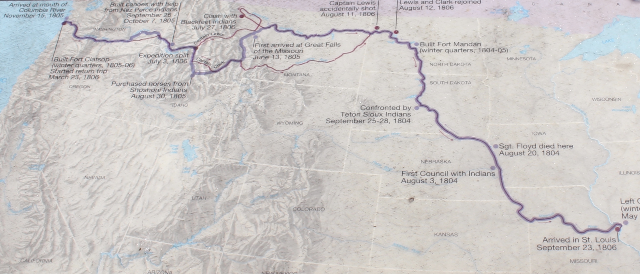
Map of the Lewis & Clark Expedition
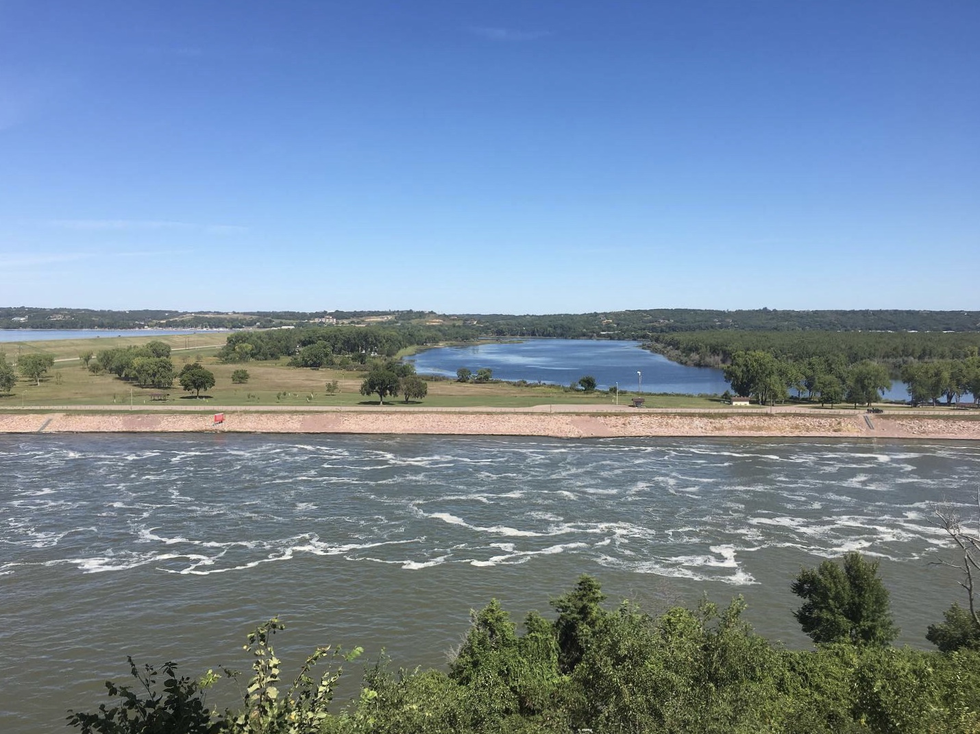
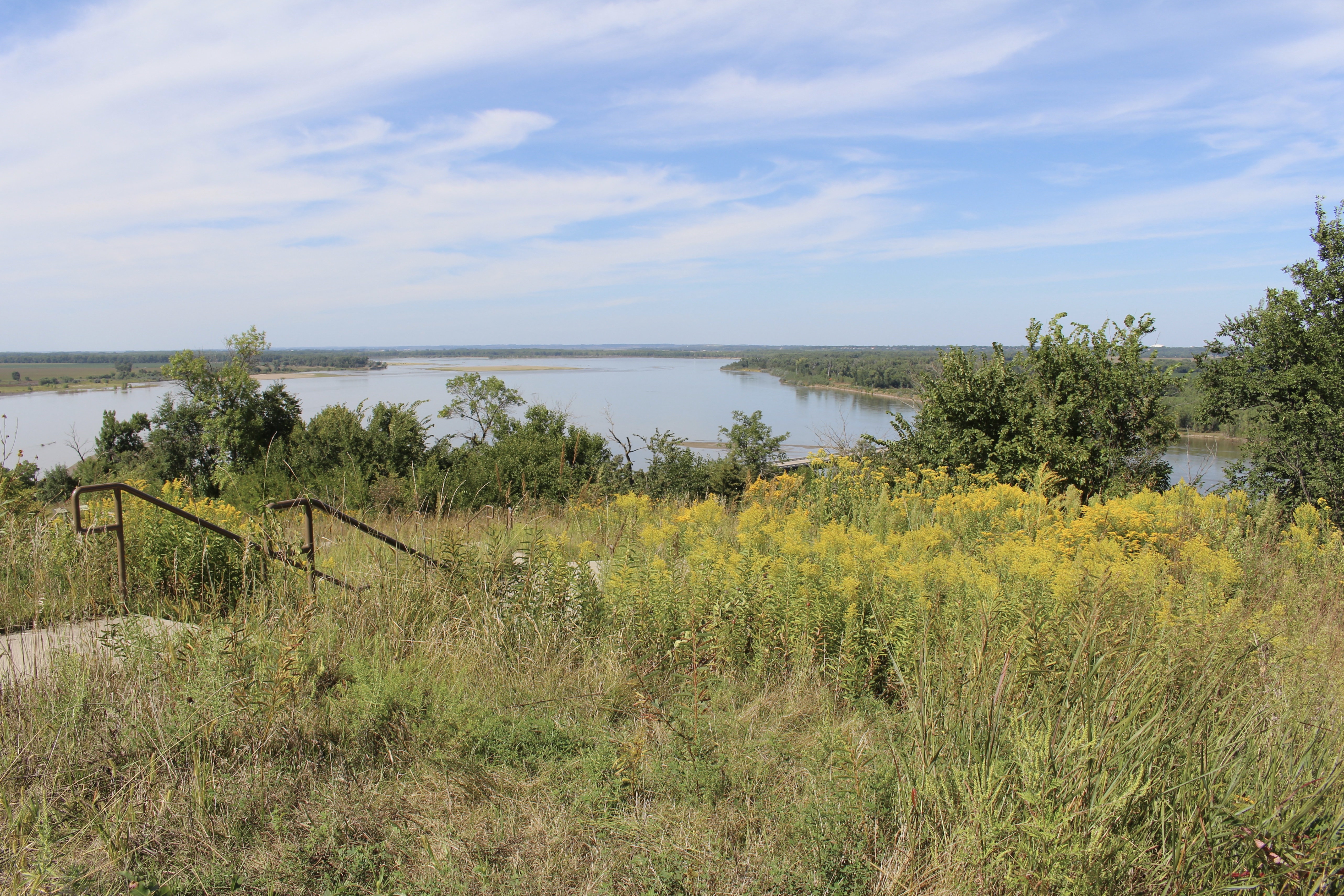
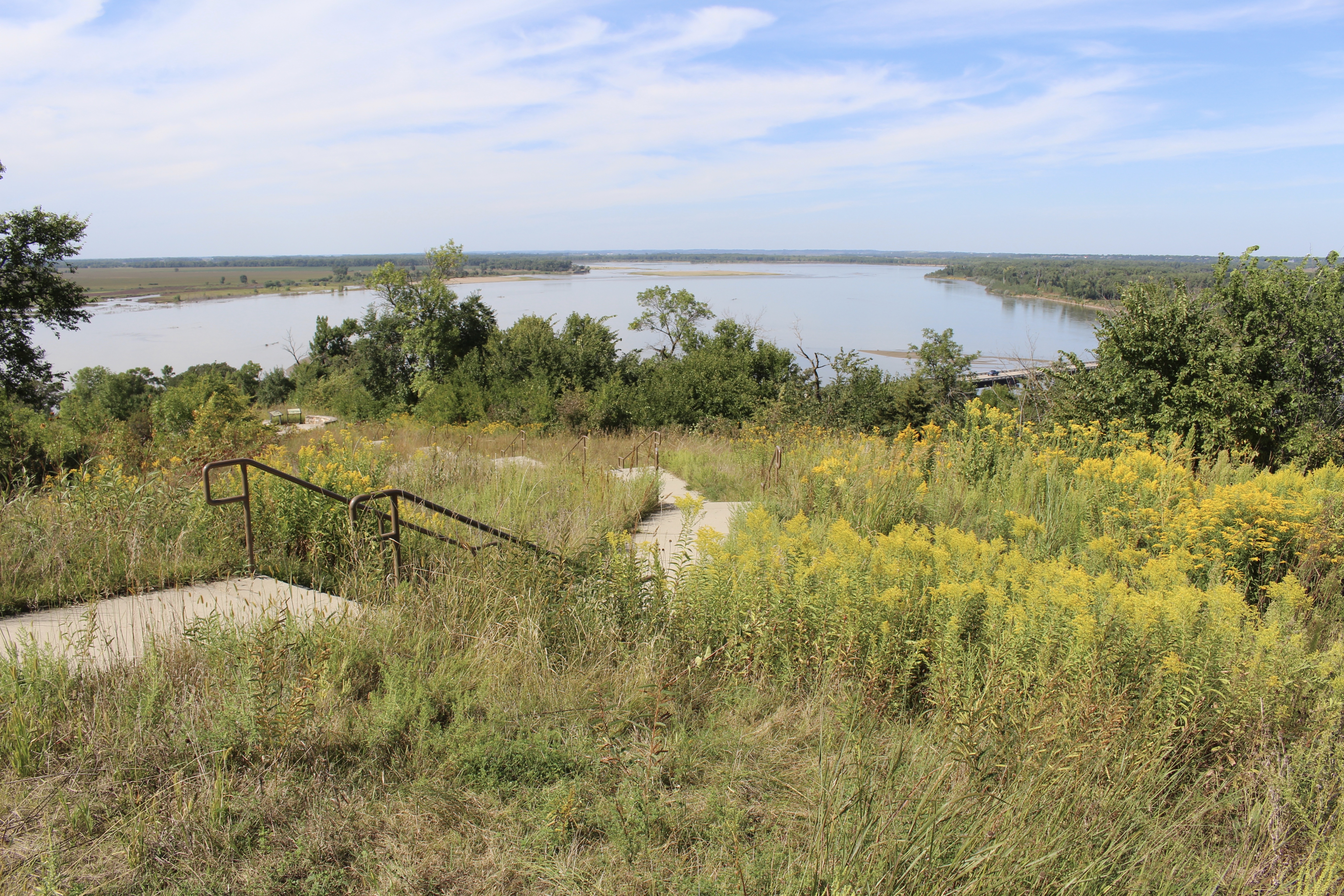
I parked in Yankton and went to Riverside Park and walked over the pedestrian-only Meridian Bridge for views of the Missouri River.

Riverside Park in Yankton

view from Meridian Bridge over the Missouri River

the Missouri River

Meridian Bridge

view from Meridian Bridge over the Missouri River

Meridian Bridge
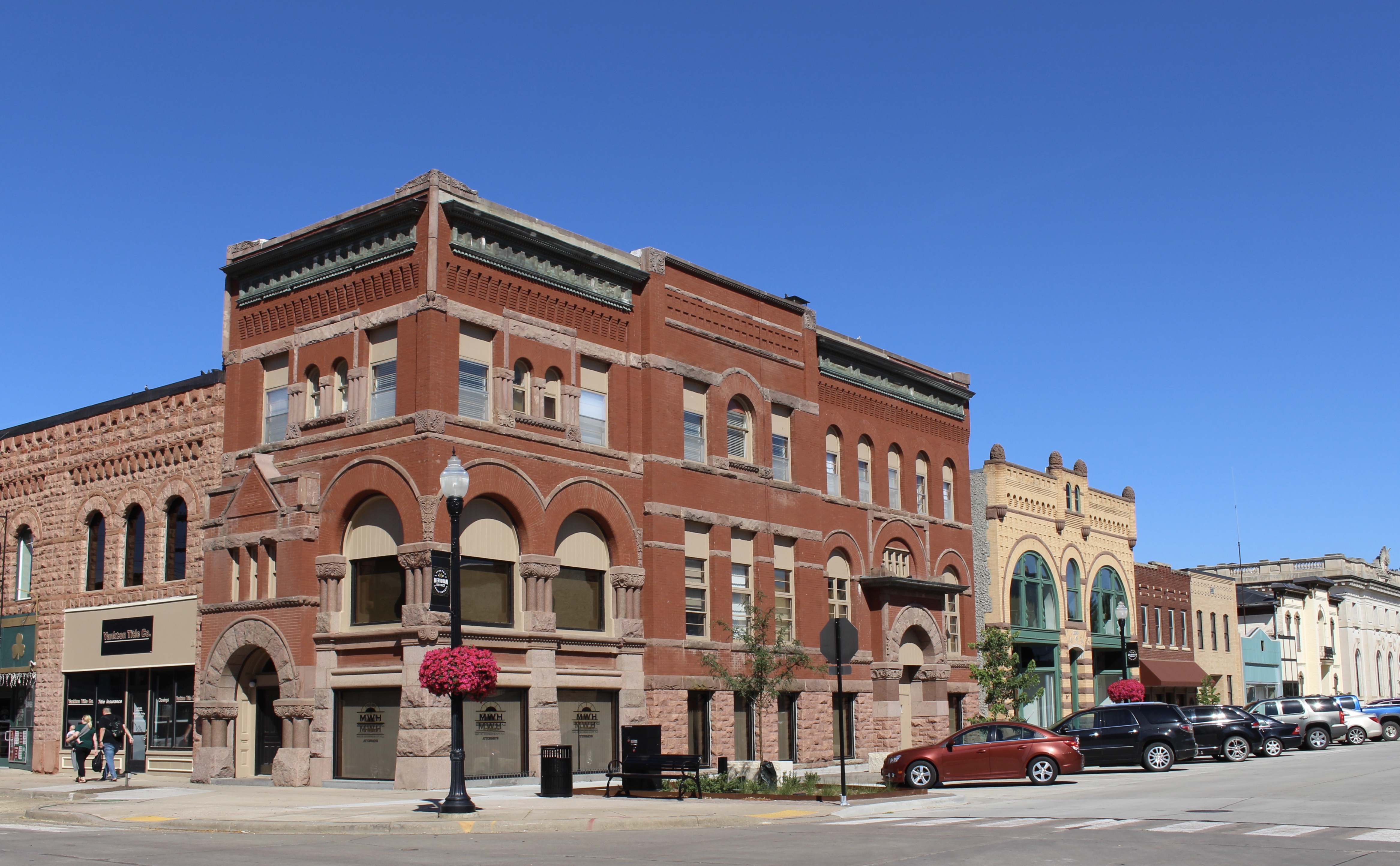
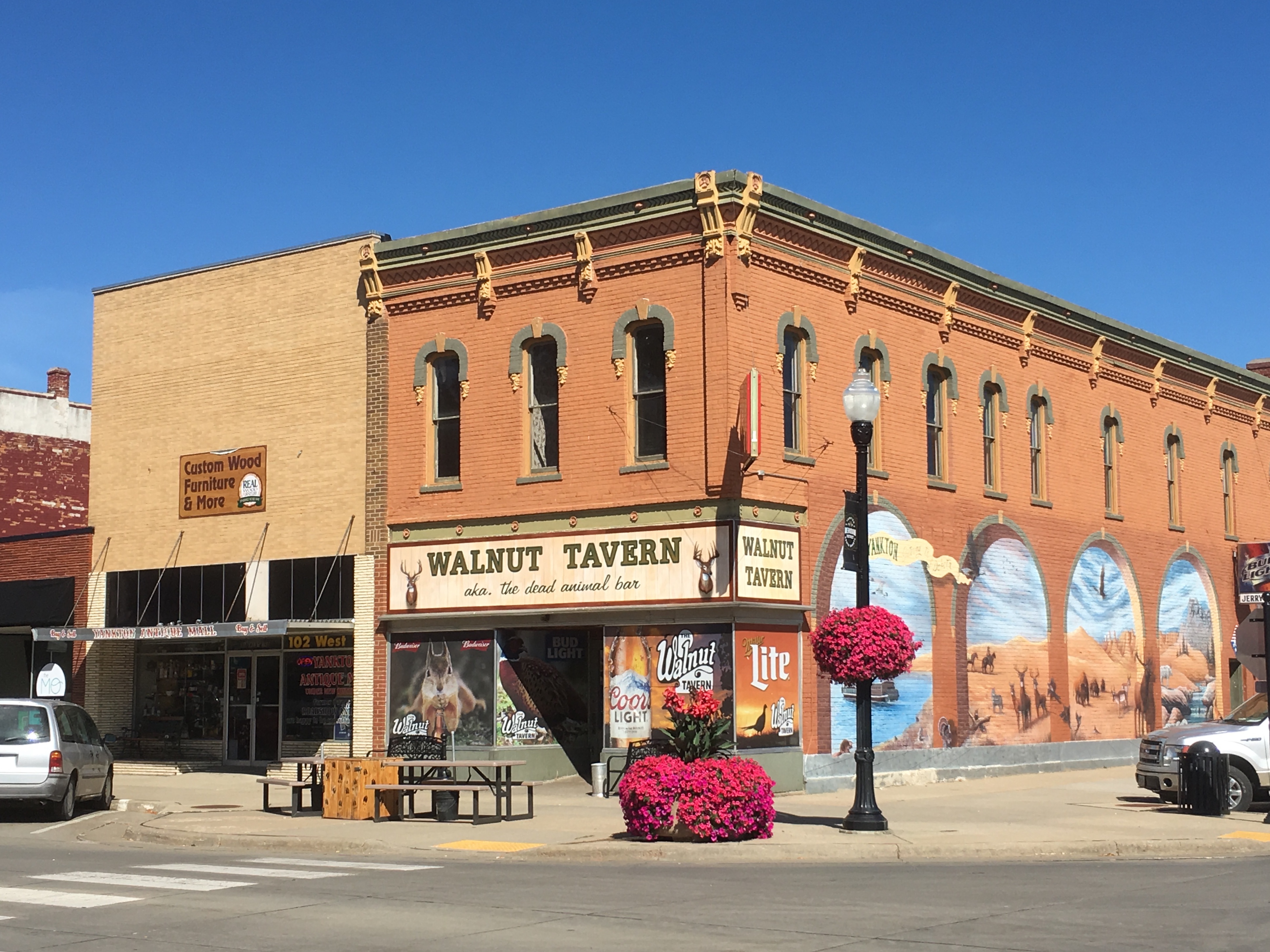
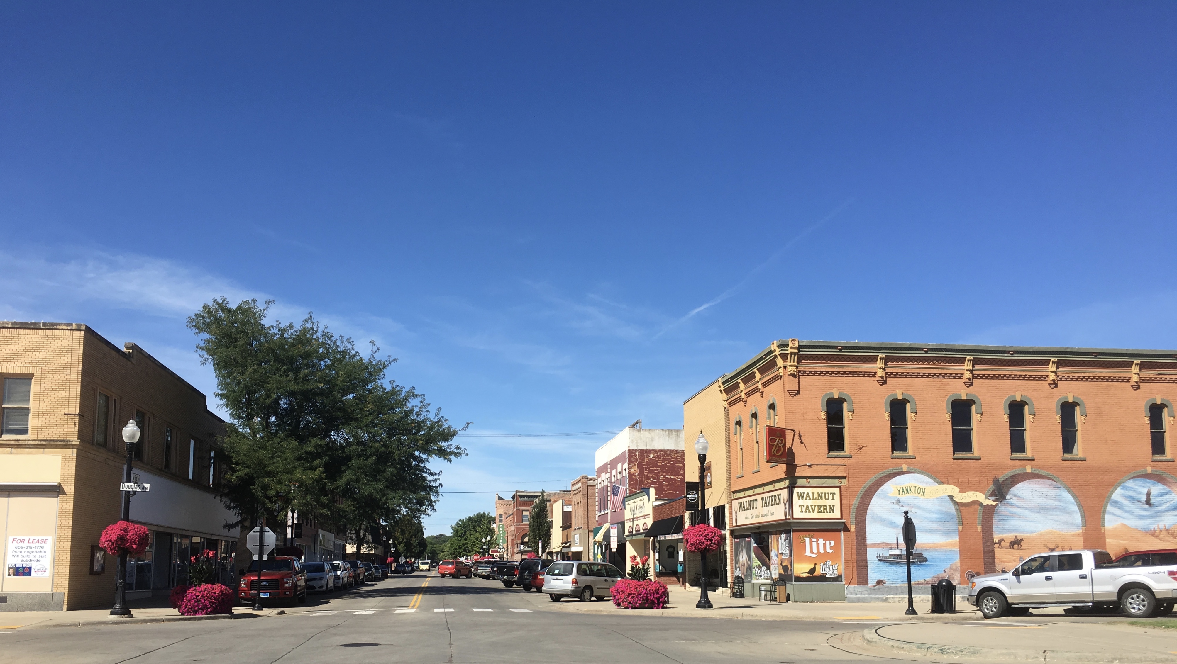
Then I took a stroll around the cute town of Yankton.
Yankton, South Dakota

Yankton, South Dakota

Moose Lodge & Seafood Bucket Boil

Dakota Theater

Dakota Theater

Yankton Daily Press & Dakotan

Yankton Daily Press & Dakotan

O’Malley’s Bar

Rexall Drugs
I loved the neat and tidy little town. Yankton was the first territorial capital of the Dakota Territory from 1861 to 1883 and was a major steamboat landing until 1881. Since then, Yankton has grown into a regional business and health care community, and, with the creation of Lewis and Clark Lake, has become a recreation destination.
Yankton, South Dakota
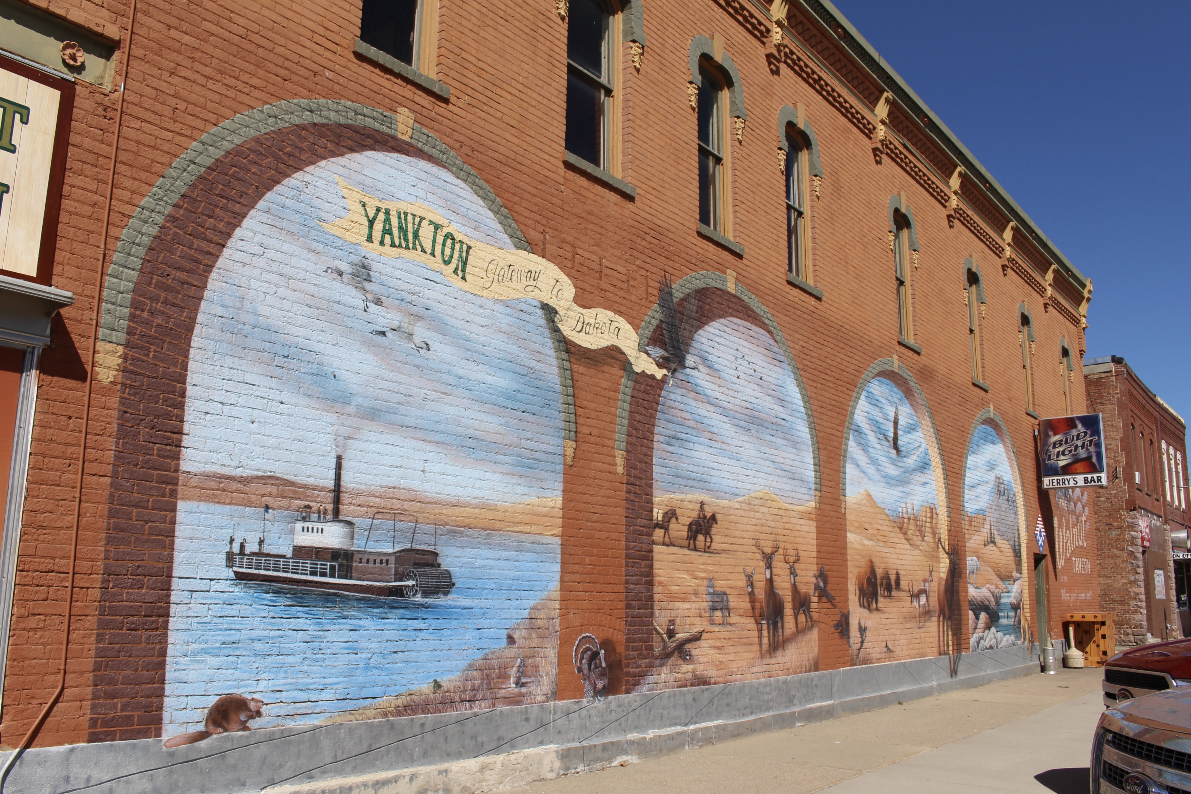
Yankton: Gateway to Dakota

Yankton, South Dakota
Yankton, South Dakota
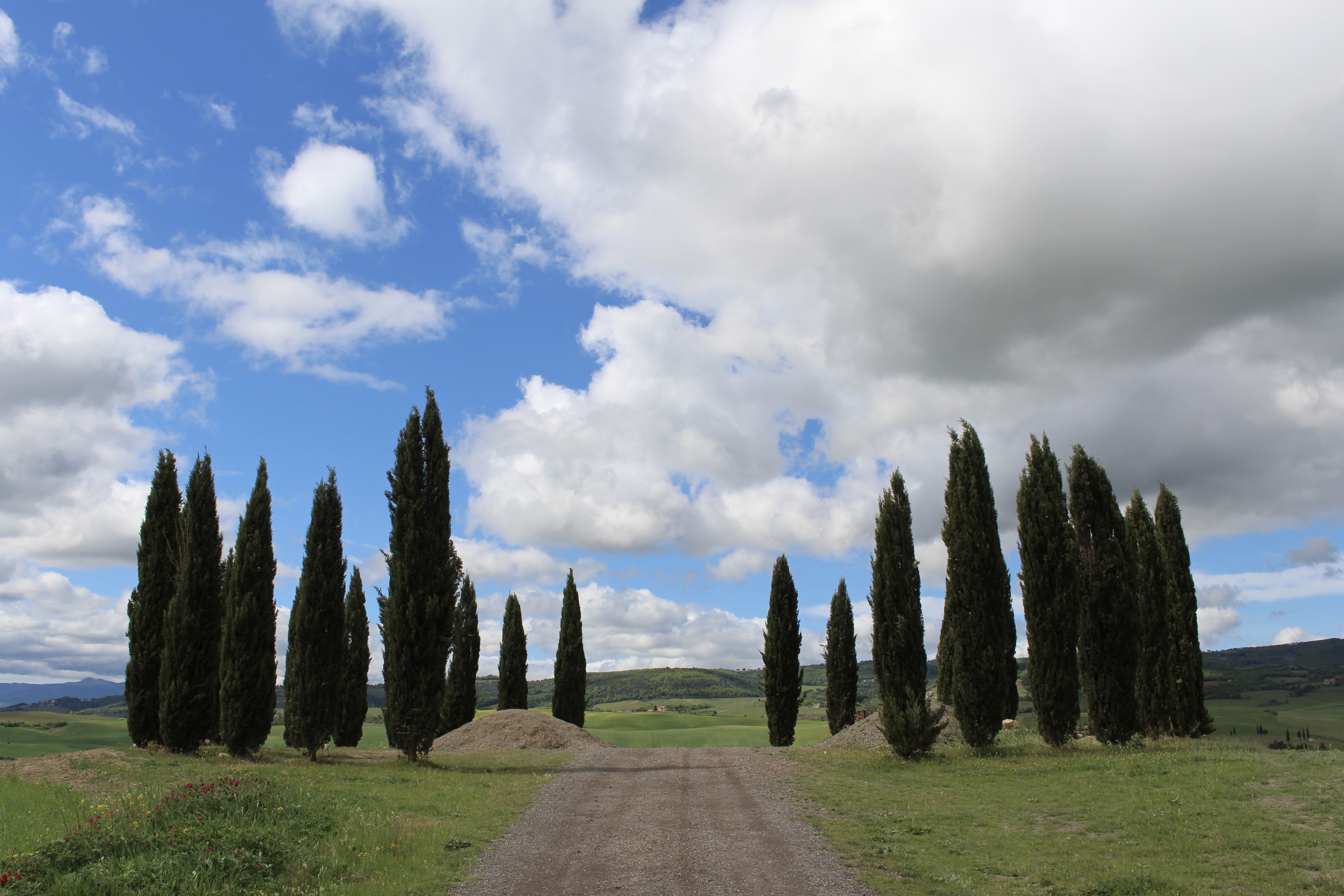
In Yankton, before leaving, I passed the Starlite Inn. Mount Marty / Sacred Heart Monastery. Laser Tag & Pizza Arcade and Kawasaki. The huge operation at Stockmen’s Livestock Market. FIREWORKS. The Vermillion River. Truck Repair. More and more corn on flatter than flat land.
Then I drove west to Gavin’s Point Dam and the Lewis and Clark Visitor Center in Nebraska.
At the Visitor Center, I learned of the steamboat; the Missouri River steamboat was built for shallow waters. Passengers and cargo traveled by train to a handful of port cities on the Missouri River, then transferred to steamboats for the rest of the trip. St. Louis, Missouri and Sioux City, Iowa became the first of these connections, but as the rails stretched farther north and west, other ports grew to challenge them. In 1873, the Dakota Southern line to Yankton and the Northern Pacific to Bismarck helped build both cities into major centers of commerce.
The railroads in the end destroyed the steamboat trade. By the time the rails reached Fort Benton in 1887, trains and steamboats were direct competitors. The weather didn’t help: in the spring of 1881, ice jams choked the river upstream from Yankton, then moved down with terrific force. The Yankton fleet was crushed to splinters.
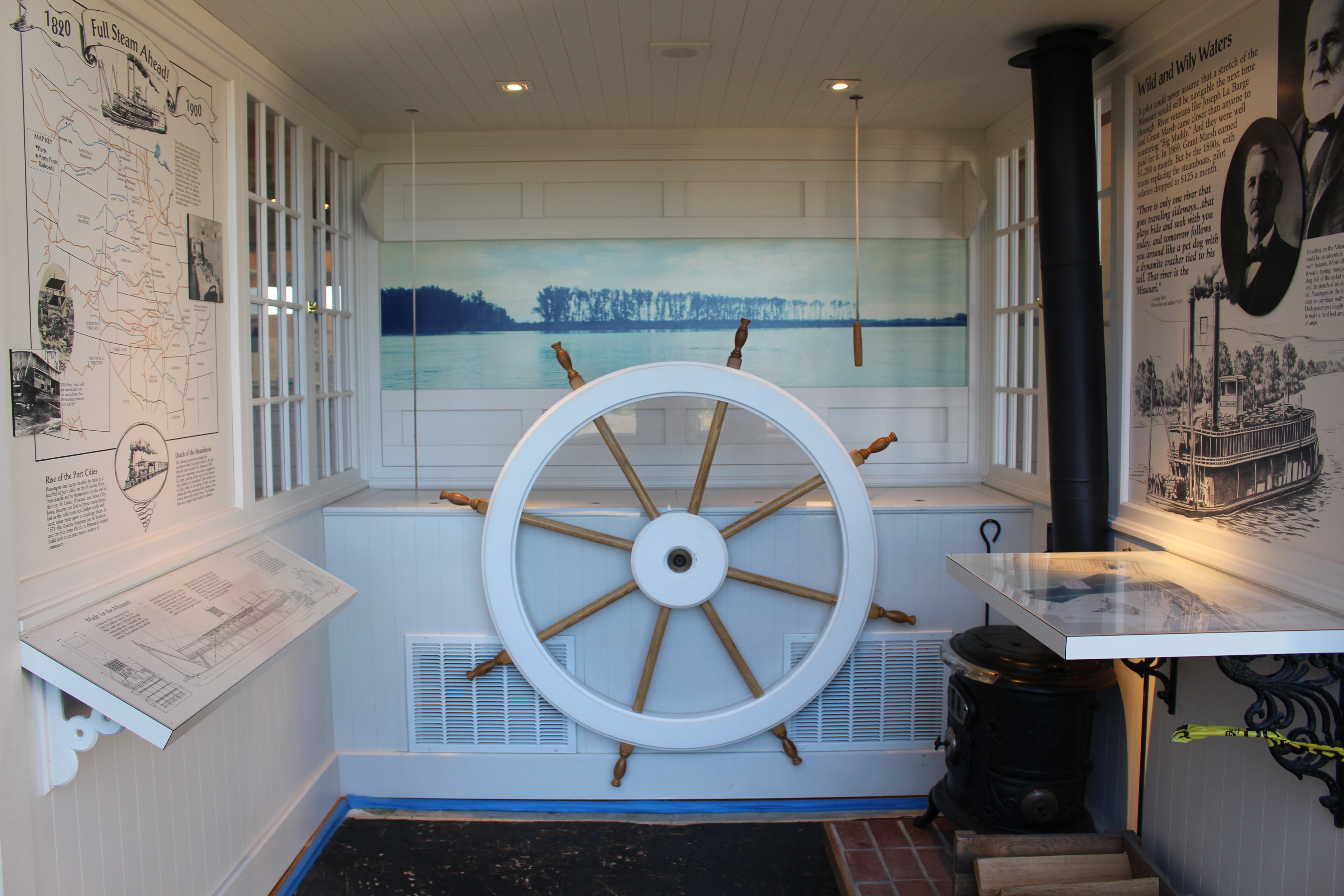
Lewis and Clark Visitor Center
The Missouri River is the longest river in North America. Historically, it carried a lot of sediment, thus it was nicknamed “Big Muddy.” During Westward expansion, the Missouri had a vast flood plain. When Lewis and Clark went up the Missouri River in 1804-1806, it was wild and unpredictable. The river runs swift and cold in some places. In other places, the river crawls, so it is warmer and contains less oxygen. River bottom varies from mud, to sand, to gravel, to rock.
Over time, the Missouri River has chosen many paths. With the settlement of the Great Plains came the need to restrict the river’s meandering. As development increased, the demand for flood control, navigable waterways, safe water supplies, and affordable energy also increased.
After a series of floods devastated farms and towns in the early 1940s, Congress enacted the Flood Control Act of 1944. A component known as the Pick-Sloan Plan called for construction of five dams along the river. By the mid-1960s, after the dams were built and reservoirs filled, the river ceased to be meandering. However, dam-controlled fluctuations provide habitats for an amazing array of plants and animals.
Ground was broken at the dam site on May 18, 1952. Construction began immediately and in September 1956, the power plant began producing electricity for the power needs of 30,000 homes. Water released from the dam provides for commercial navigation all the way to St. Louis, Missouri. As a bonus, the creation of Lewis and Clark Lake behind the dam resulted in ninety miles of scenic shoreline.
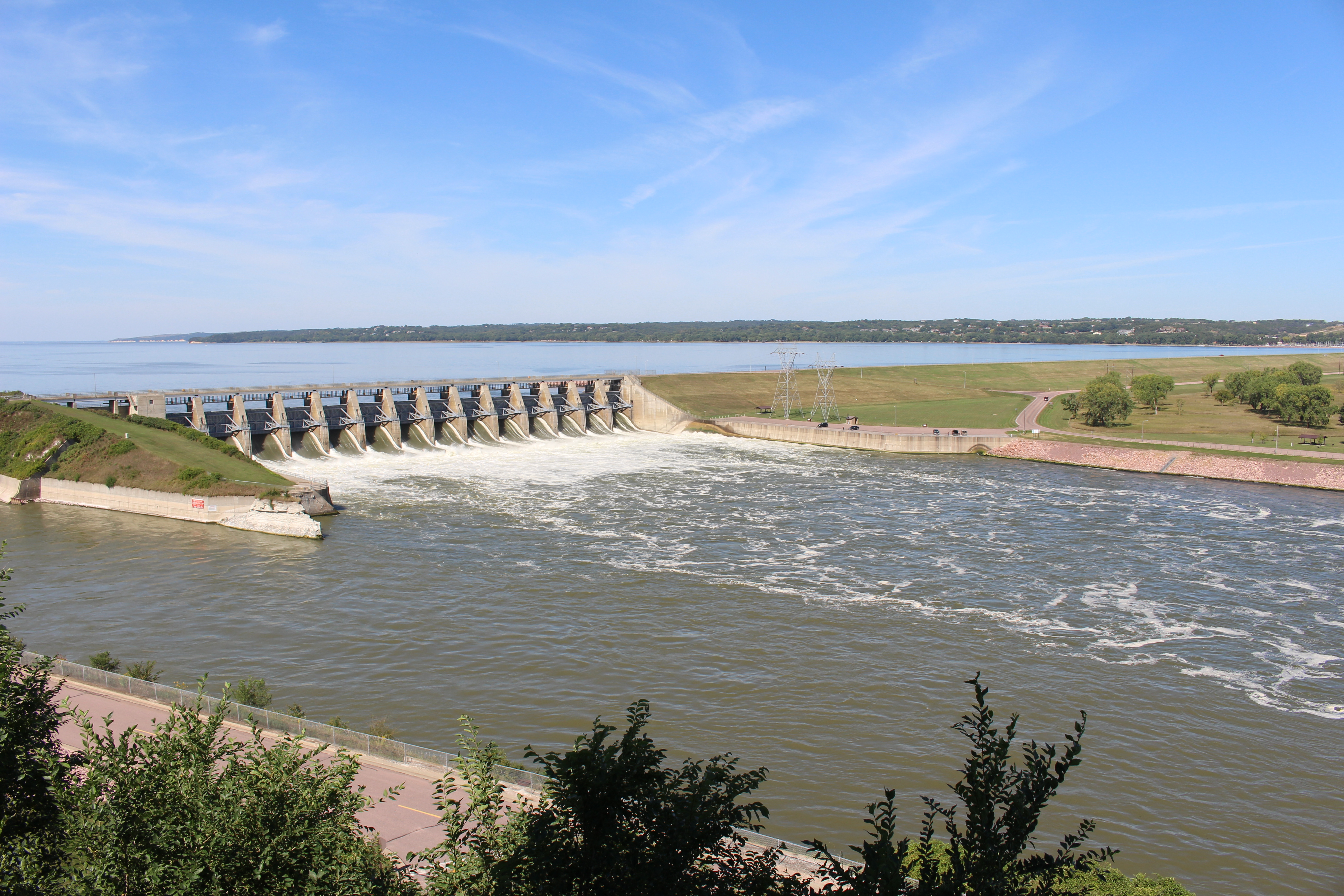
Gavin’s Point Dam
At full power generation, 255,000 gallons of water per second passes through Gavins Point Powerplant. This is enough water to fill 13,000 bathtubs every second.
Missouri River east of Gavin’s Point Dam
When the dams were built, much of the Missouri was changed from a shallow, fast-flowing river to a series of deep lakes with rocky bottoms.
In the Missouri River basin, wetlands are abundant in the upper reaches of reservoirs and in thousands of prairie potholes. They are rich habitats for animal and plant life: great blue herons, Canada and snow geese, ducks, cattails, giant reeds, and rushes.
As it meanders, the river also cuts through forests of cottonwood, ash and willow – trees that thrive in moisture-laden soil. A sea of grass stretches from horizon to horizon across the Great Plains. In the east, small patches of tall-grass prairie remain. In the west, the prairie changes to drought-tolerant short grasses. Between them spans the broad belt of mixed prairie, abundant with little bluestem and western wheatgrass.

Missouri River east of Gavin’s Point Dam
I watched a movie about the river at the Lewis & Clark Visitor Center, which sits atop Calumet Bluff. Here, on August 27, 1804, while traveling up the Missouri River on their journey to the Pacific Ocean, Lewis and Clark participated in a Grand council with the Yankton Sioux. As the council concluded on August 31, Lewis and Clark talked with someone to help them “bring about a peace between the Sciuex & their neighbors.” Three weeks later, the expedition would confront one of the most aggressive of the Sioux bands – the Teton Sioux.
The Sioux were known throughout the Plains – and as far away as Washington, D.C. – for their immense power as hunters and warriors. They were a nomadic people who depended on the great herds of Plains bison for food, clothing, and shelter. When the bison moved, the whole village went along.
Before and after the Visitor Center, I ate some of my leftover loaf of bread from dinner last night. I finished the whole loaf (with the soft sweet butter) for my lunch. 🙂
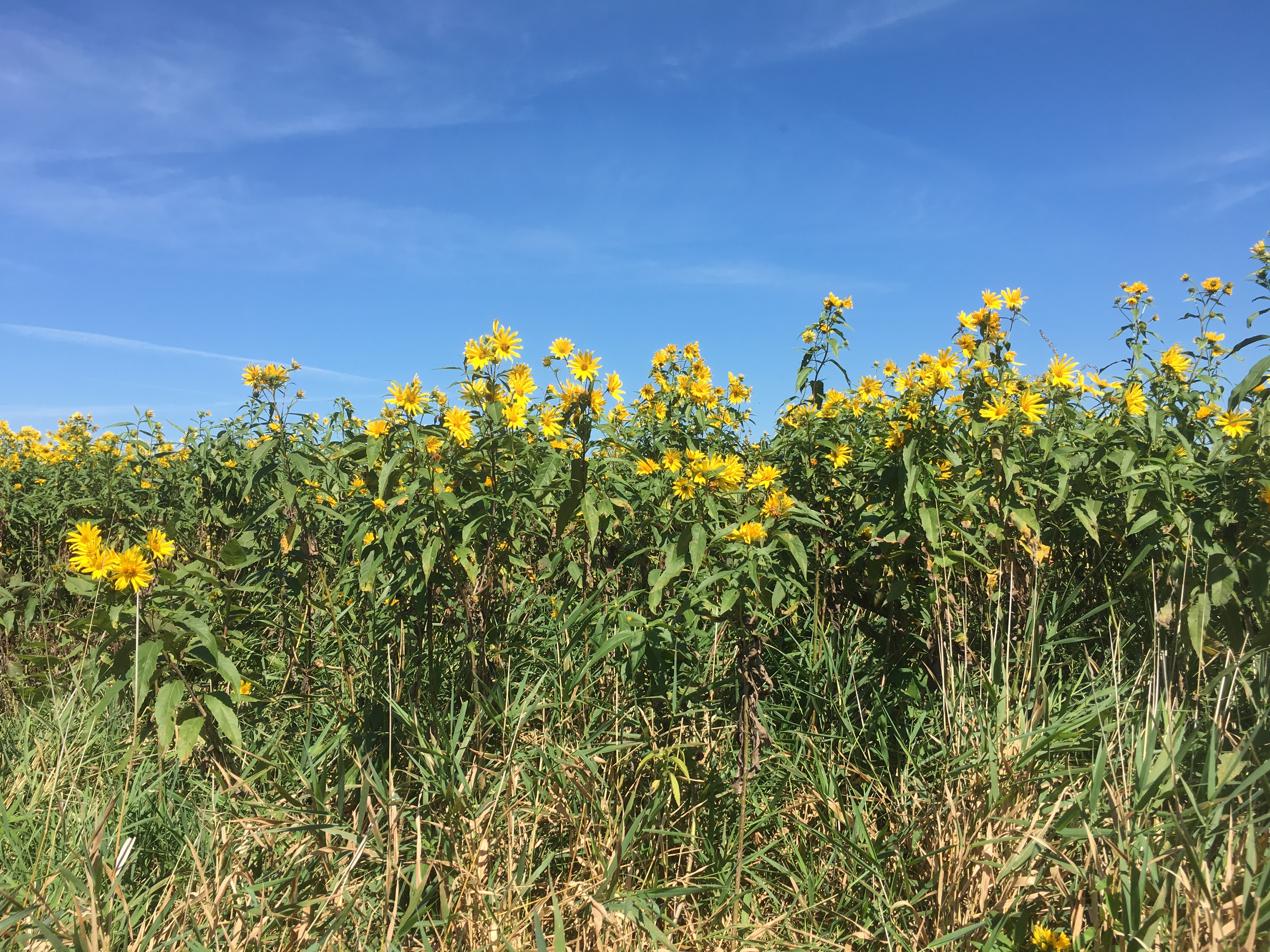
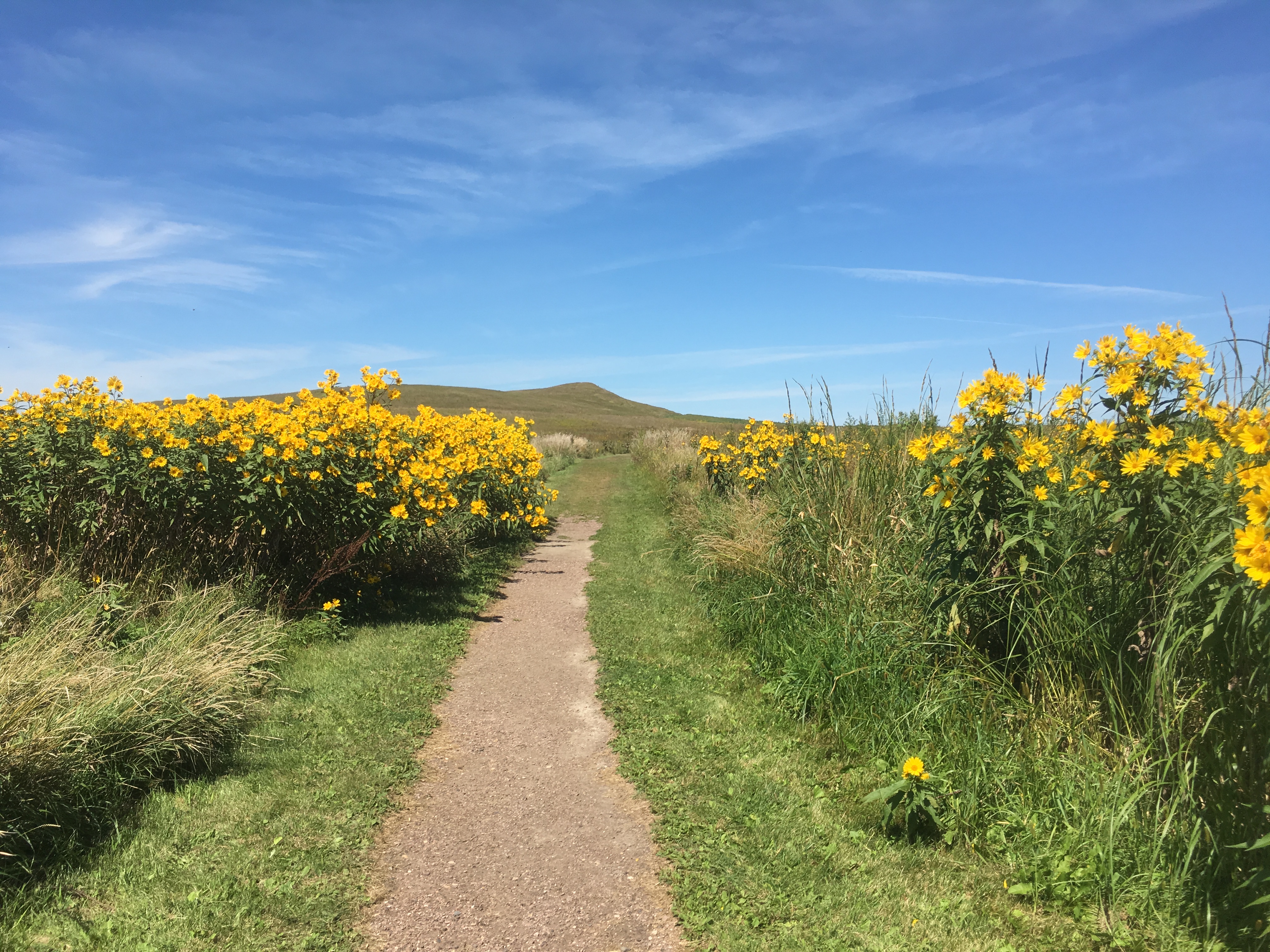
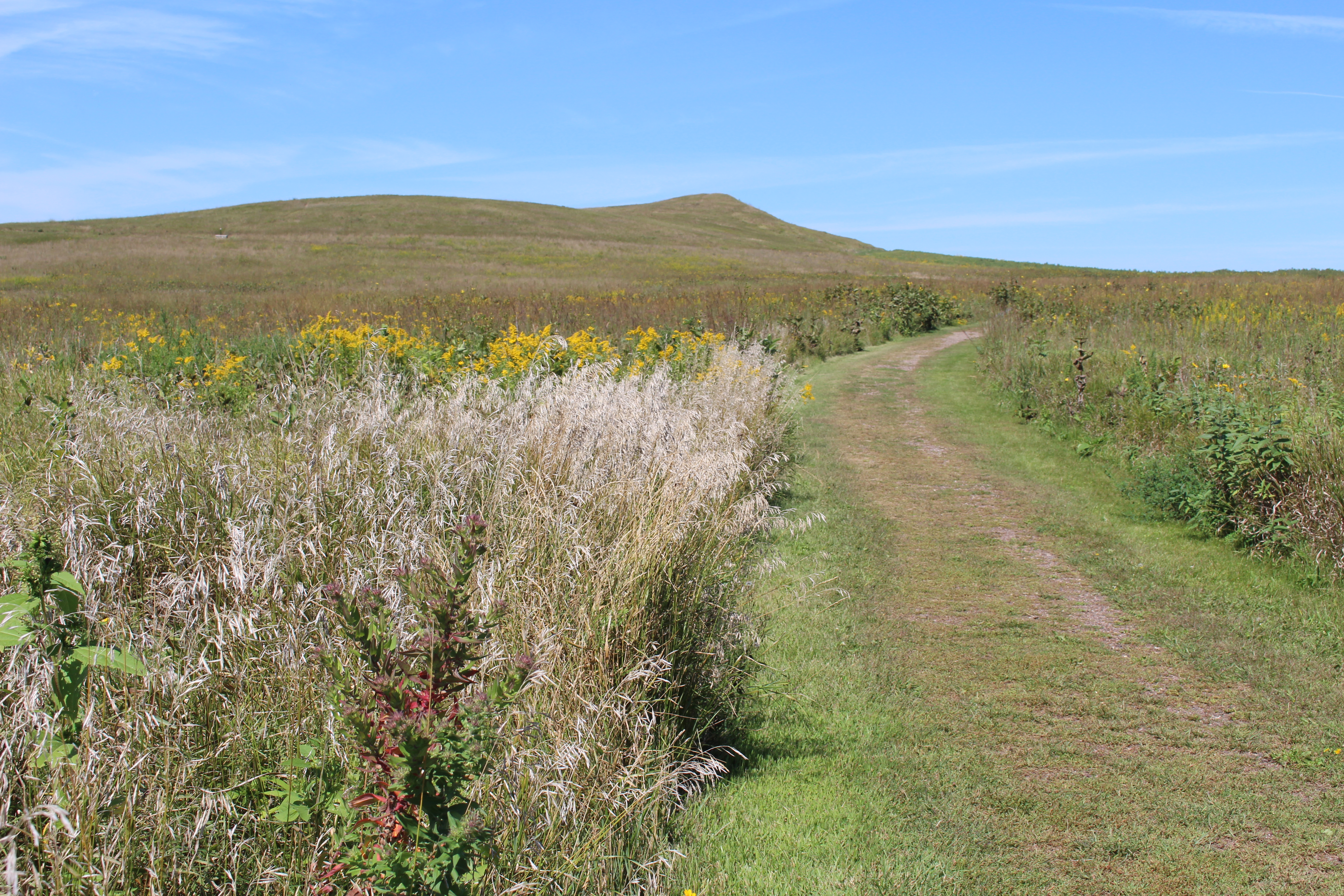
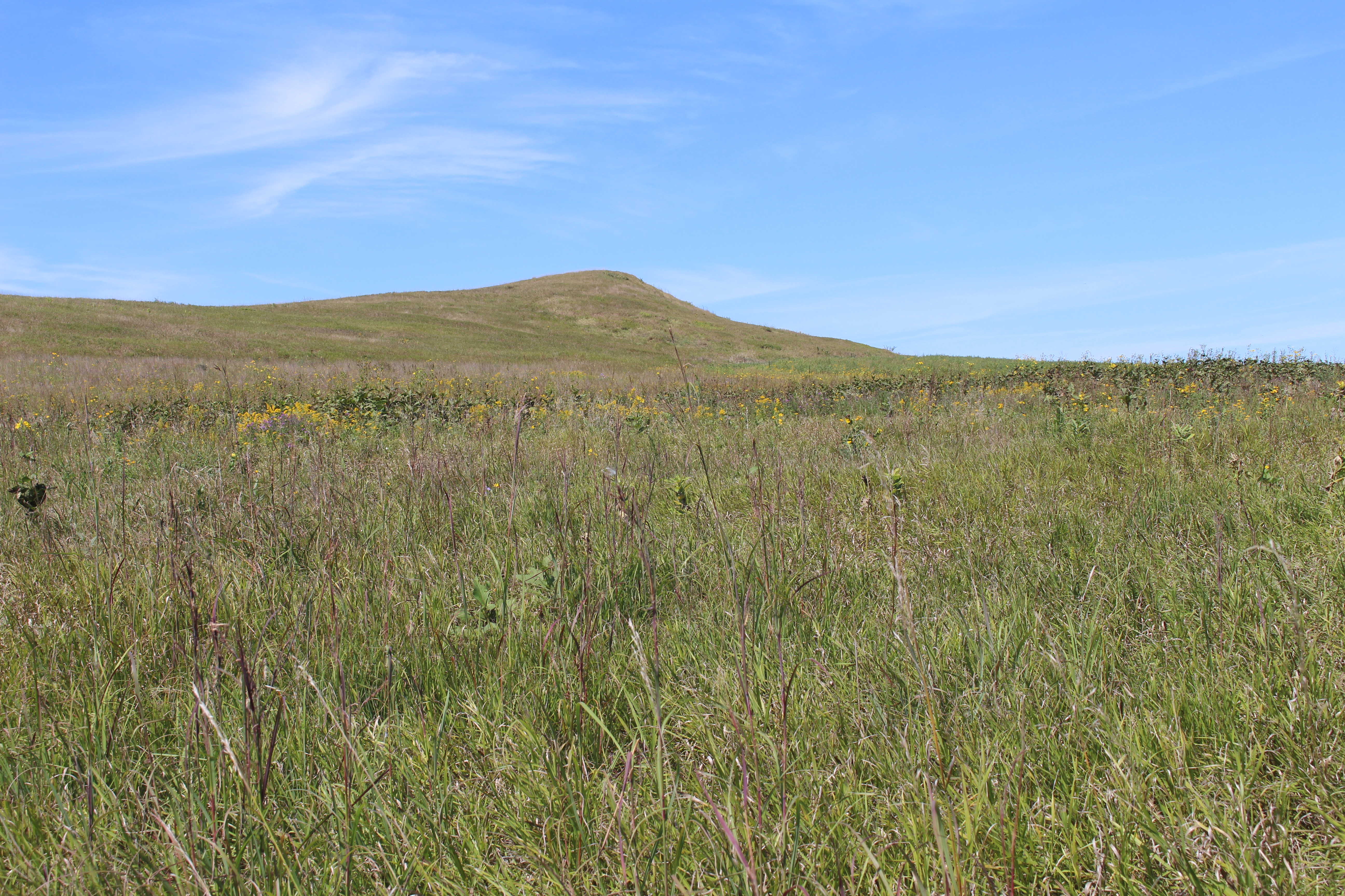
After, I drove to Spirit Mound Historic Prairie where I walked 0.80 miles to the summit and then the same distance back. Spirit Mound was known as Paha Wakan by tribes before Lewis & Clark ever came to the area. The people of the Omaha, Oto and Yankton tribes believed the mound was occupied by little people who shot any human who came near. This was a sacred site for several Plains Indian tribes. Some tribal members make pilgrimages to Spirit Mound, say prayers on top, and leave offerings.
On August 25, 1804, several members of the Lewis & Clark expedition left the river “to visit a High Hill… Supposed to be a place of Deavels… with remarkable large heads… [that] kill all persons… who attempt to approach the hill…..”
They apparently did not see any evidence of “little spirits,” but from the hilltop they did see large herds of bison and elk on the surrounding plains and large flocks of birds feeding on insects blown up the slopes.

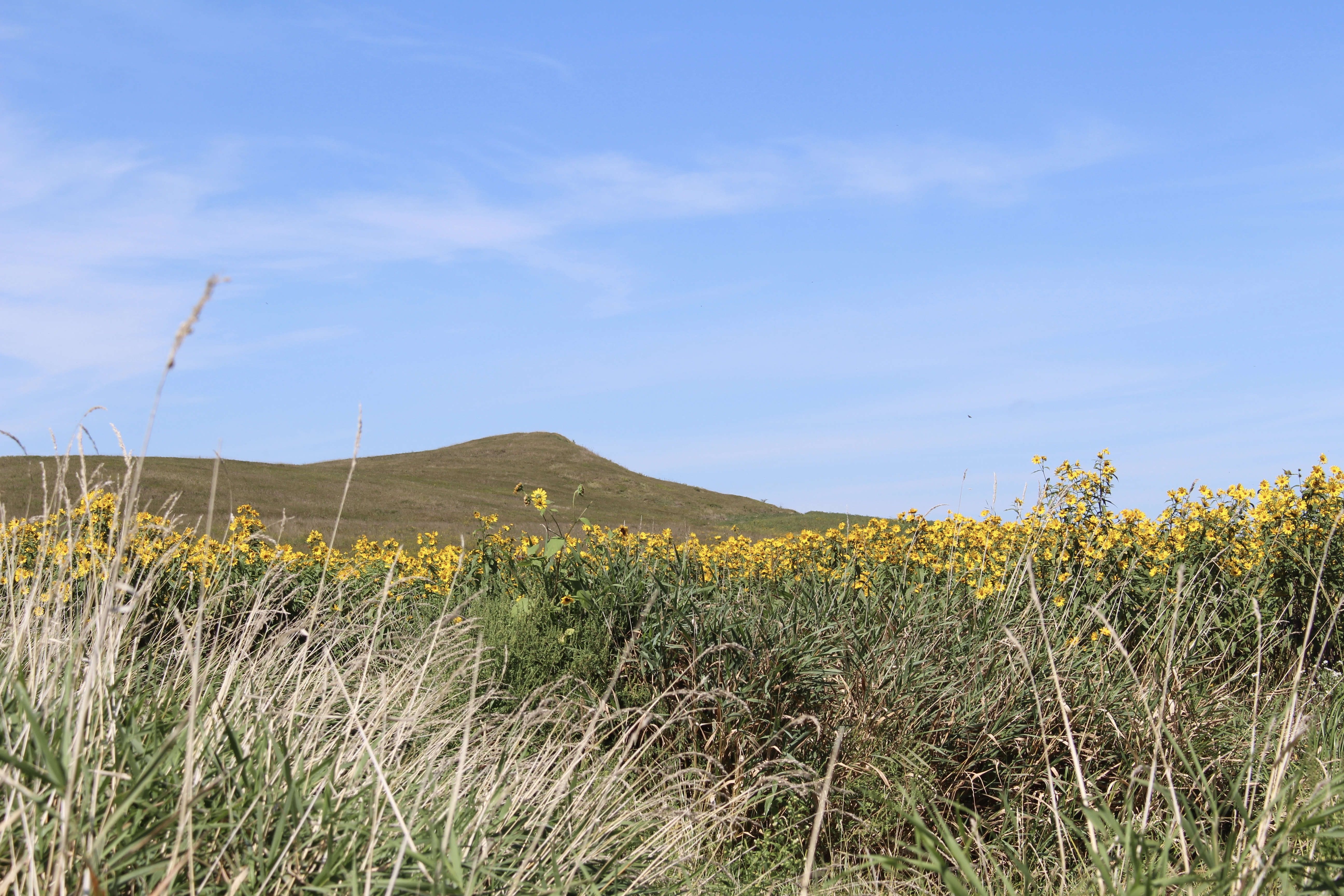
Spirit Mound Historic Prairie
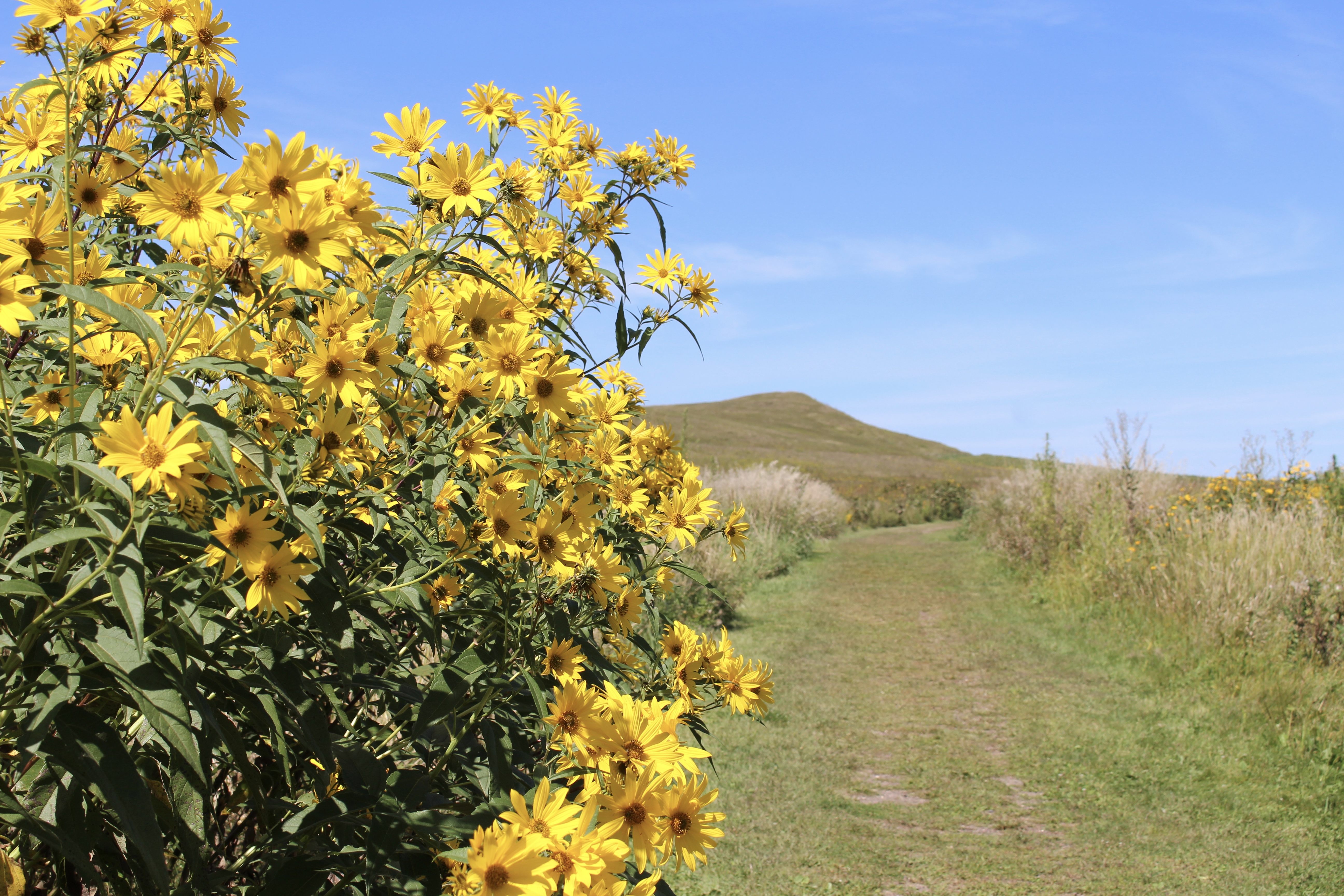
The path to the summit was very pretty, lined with rigid sunflower, whorled milkweed, common evening primrose, common reed, Canada wild rye, and goldenrod. The tall trans-global grass known as common reed was eaten by mammoths and giant ground sloths during the last glaciation. Post-glacial Europeans used it to thatch roofs and Native Americans utilized it to produce mats, baskets, smoking implements, and medicines.

Spirit Mound Historic Prairie
There were dragonflies, butterflies, bees, and frogs. Crickets were chirping and grasshoppers were hopping all round. The view from the summit was of beautiful farmland but not many cornfields, sadly.
Spirit Mound Historic Prairie

Spirit Mound Historic Prairie
Spirit Mound was a sacred place to area tribes long before the first settlers arrived here from the east. To the Yankton Sioux, Omaha, Otoes, and other tribes, this was the “mountain of little people.”
Indians believed it was “bad medicine” to see the Can O’ti la, or “little people.” A person who encountered one of them or was wounded by their arrows necessarily consulted a spiritual leader. If the person ignored this warning, he or she would face a serious problem or even death.
Spirit Mound Historic Prairie
Spirit Mound Historic Prairie
When William Clark climbed this “conical hill” in 1804, he concluded, correctly, that it was a natural form, not a human-created mound. Its central core is a bedrock of Niobrara chalk that the continental ice sheet did not erode away. The chalk — consisting of fossil shells deposited in an ancient sea — is evident on the north side of the hill.
The mound is in relative isolation. Geologists call this formation a roche moutonée, a bedrock knob shaped but not leveled by the last Pleistocene glacier 13,000 years ago.
The boulder shown below is an example of stones carried here from much further north by the last glacier, about 13,000 years ago. Geologists call them glacial erratics and use them to indicate patterns of ice flow. This one is granite, which originated in Minnesota or Canada. The granite is probably two to three billion years old. The gray-green growth on the boulder is lichen, a composite organism made of fungus and algae.

glacial erratic at Spirit Mound

view from top of Spirit Mound

view from top of Spirit Mound

view from top of Spirit Mound
I thought how much effort Lewis and Clark must have made to visit Spirit Mound. On August 25, 1804, while the rest of the expedition proceeded up the river, Captains Lewis and Clark took eleven men and Lewis’ dog Seaman to explore the mound. They left two of the men to guard their pirogue while they walked the nine miles to Spirit Mound.
It was a hard trip, and Seaman, suffering from the heat, had to be sent back to the Vermillion River. Despite the rumors of danger, the men approached the hill and climbed to the summit, which they determined to be about 70 feet above the surrounding plain.
This was the first time the Captains had been miles away from the river valley and viewed from a high point the tall-grass prairie. It was also the first time they had seen buffalo herds and elk. They found burrows of either badgers or “Prarie Wolves” (coyotes), and saw meadowlarks, swallows, blackbirds, wrens, an American bittern, and the first bat they’d seen on the expedition.
return walk from Spirit Mound
I then drove to Vermillion, home to University of South Dakota, population 10,571. I aimed for the National Music Museum, but it was closed for renovations. I walked briefly around the town. Some blocks were closed off, as if some event were planned.
Vermillion, South Dakota
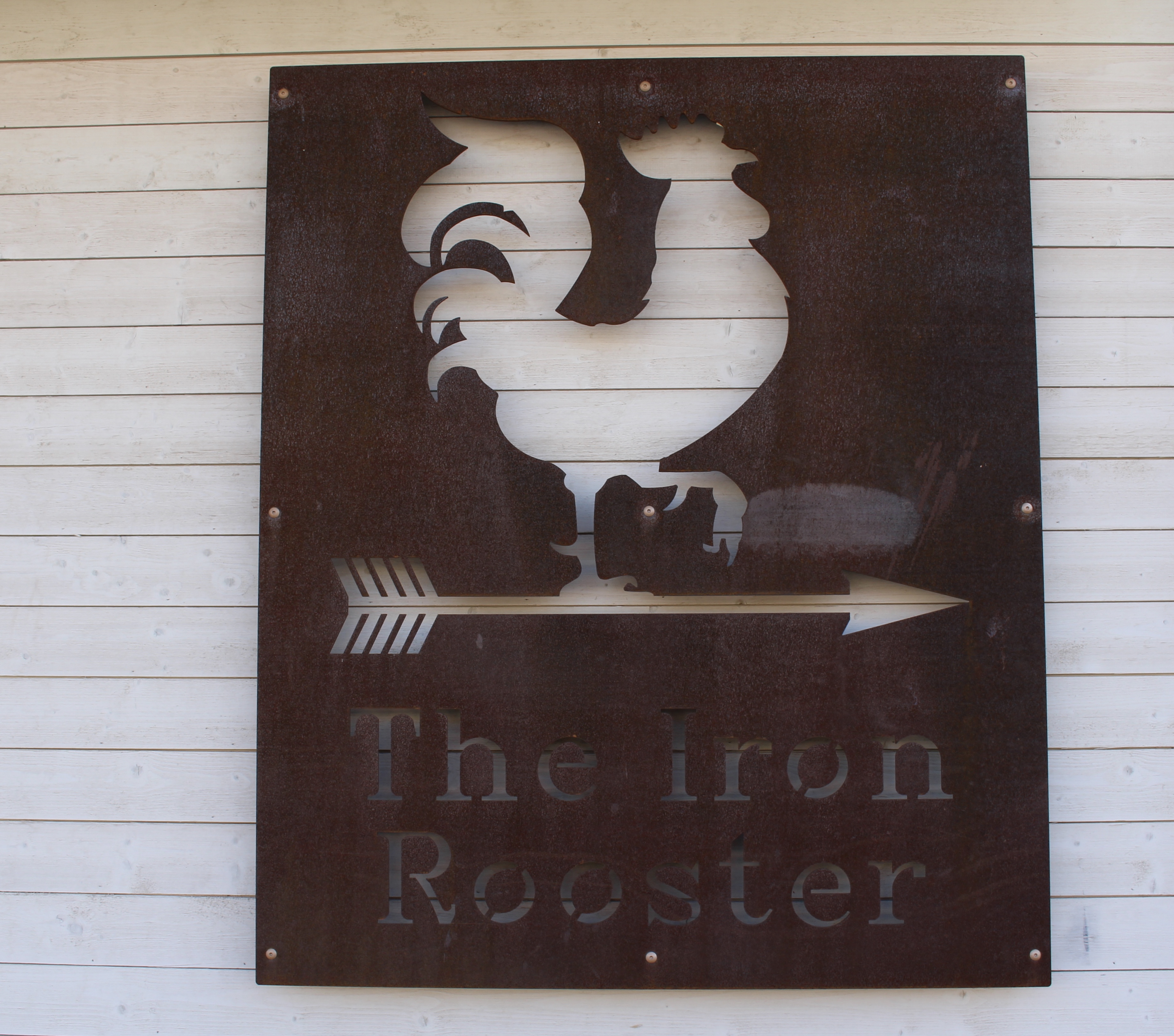
The Iron Rooster

Princess Bridge

R-Pizza

mural in Vermillion
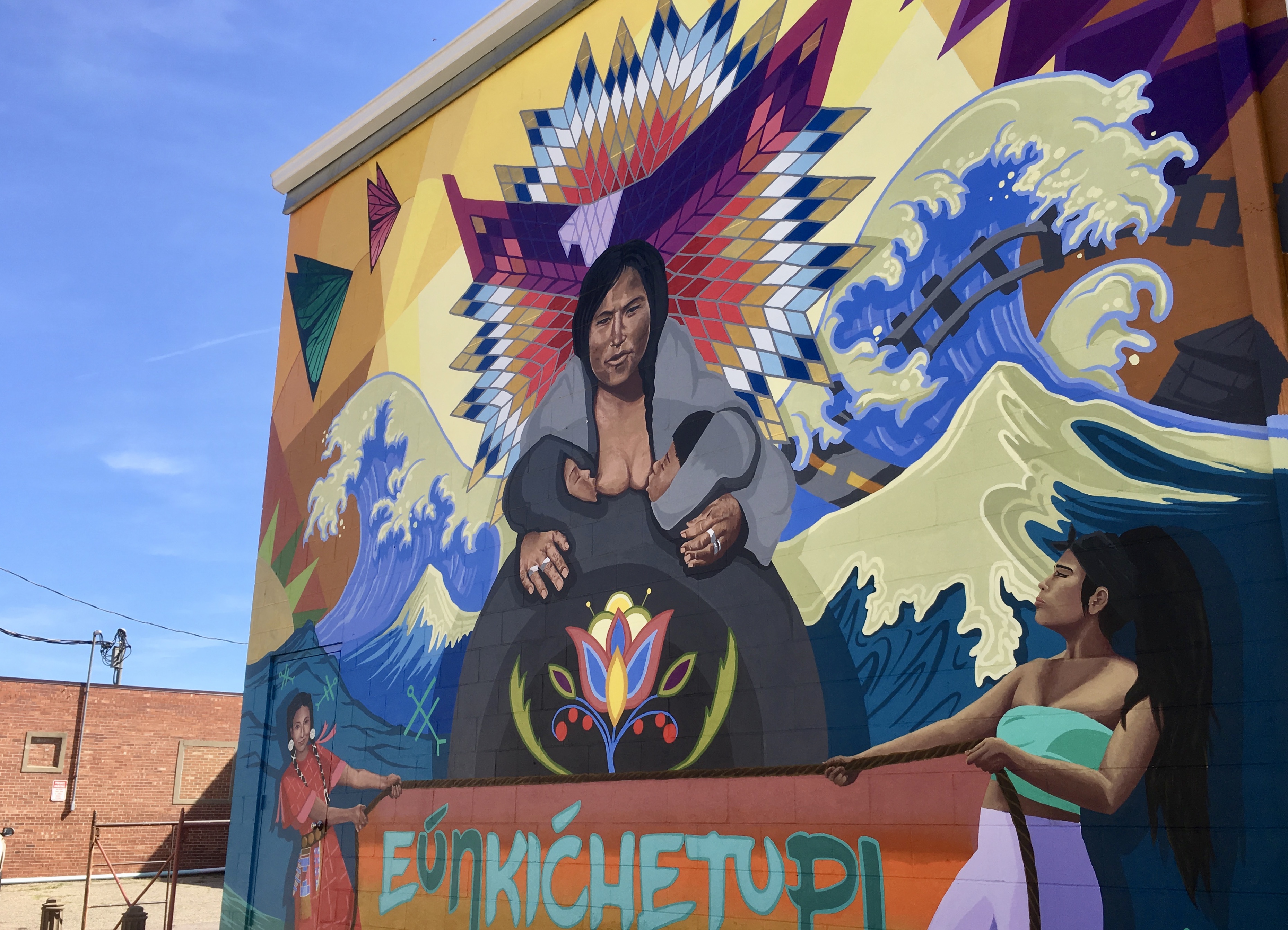
mural in Vermillion

mural in Vermillion
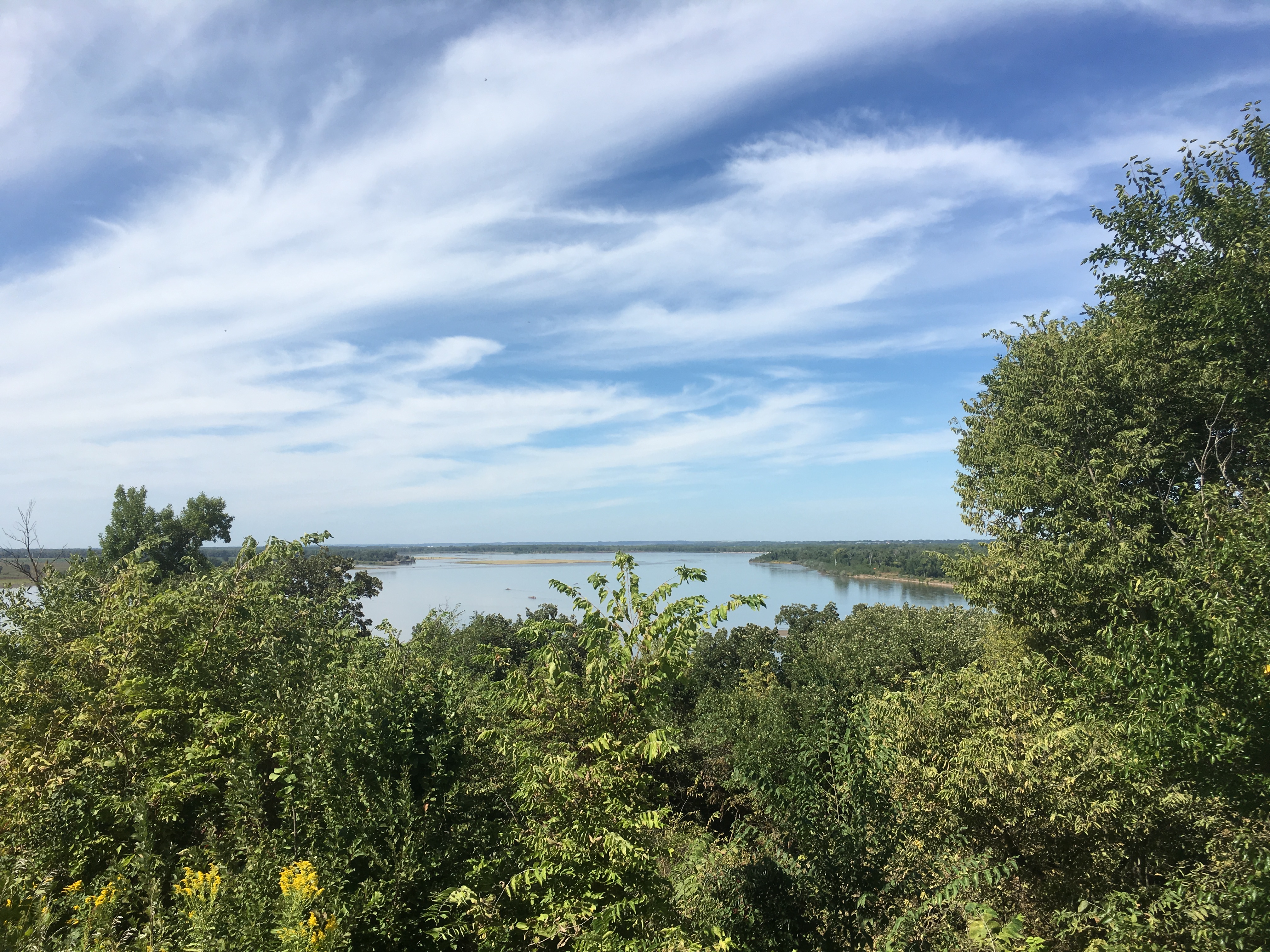
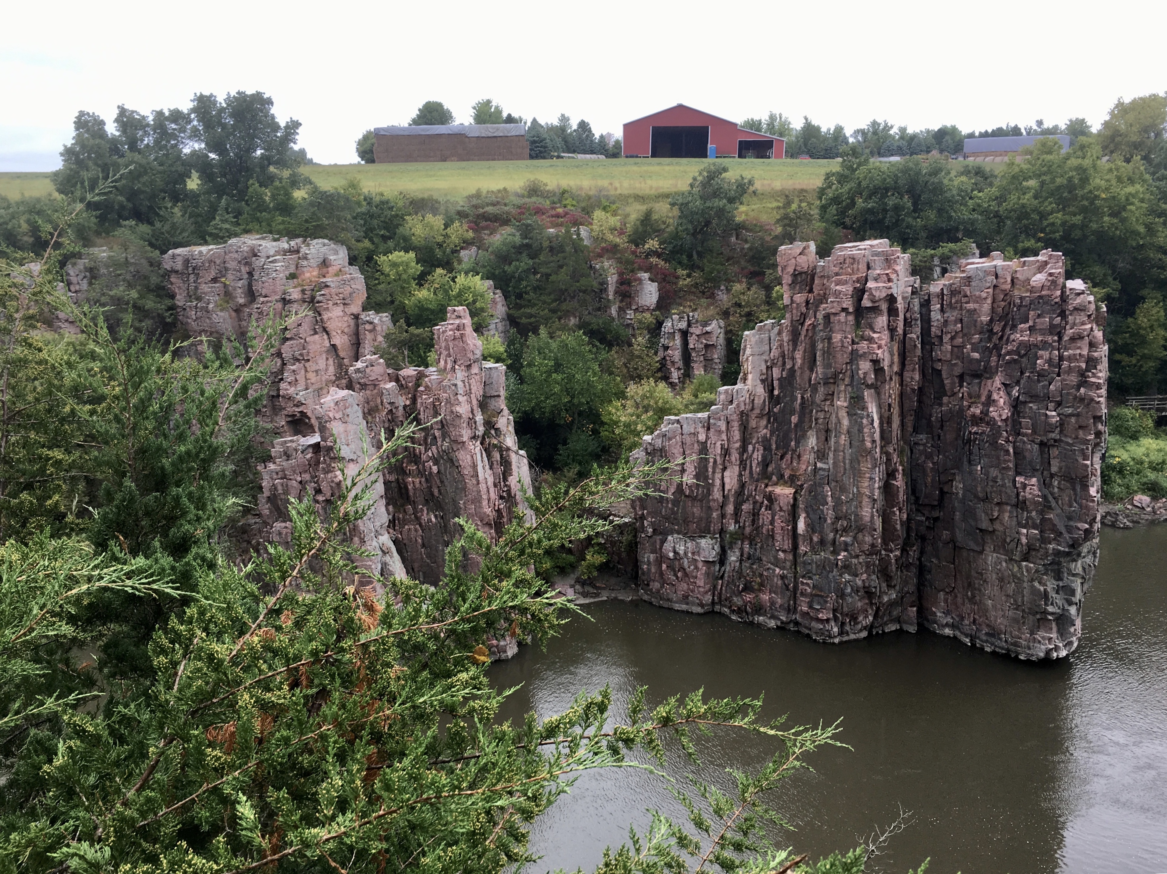
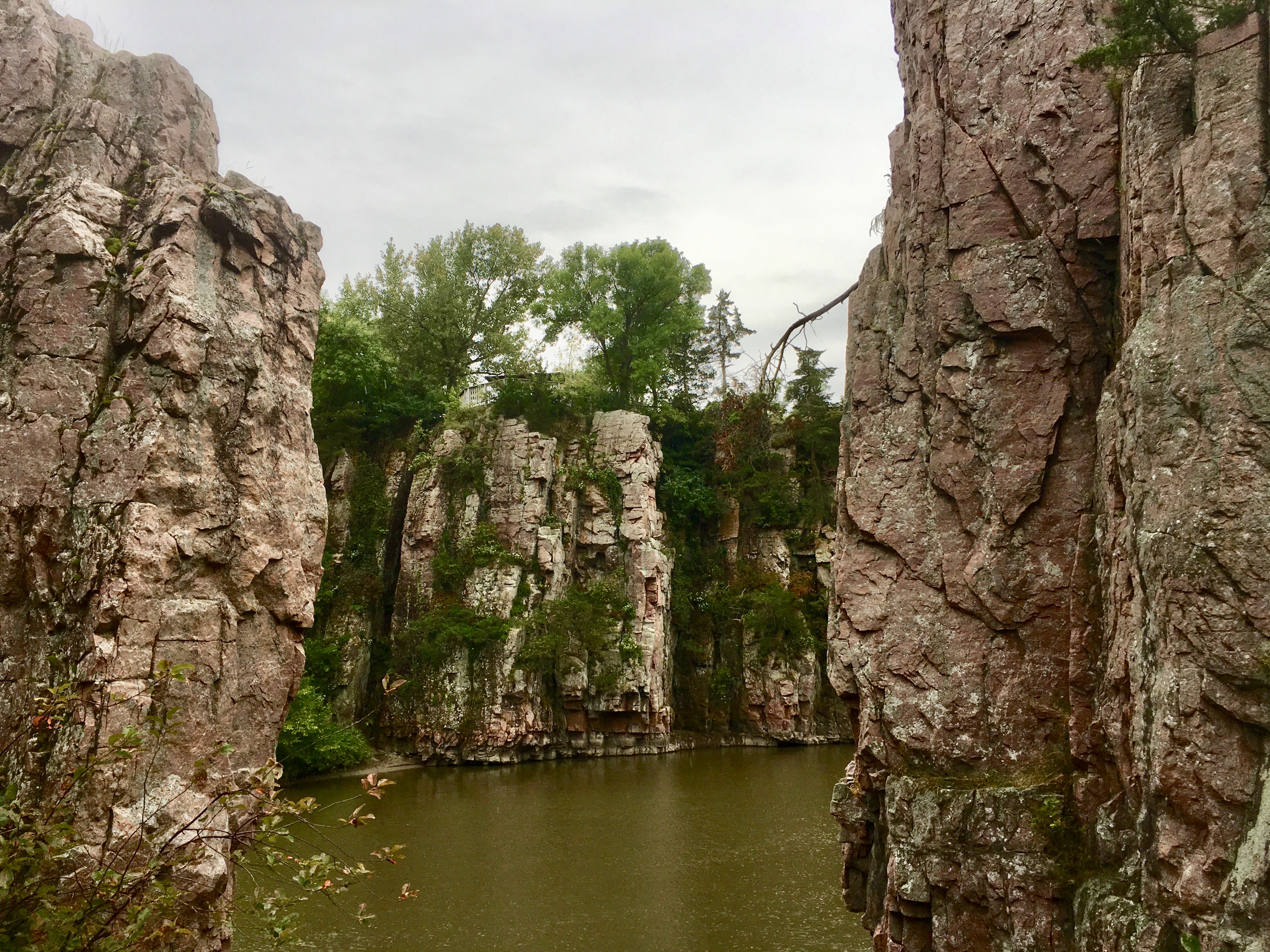
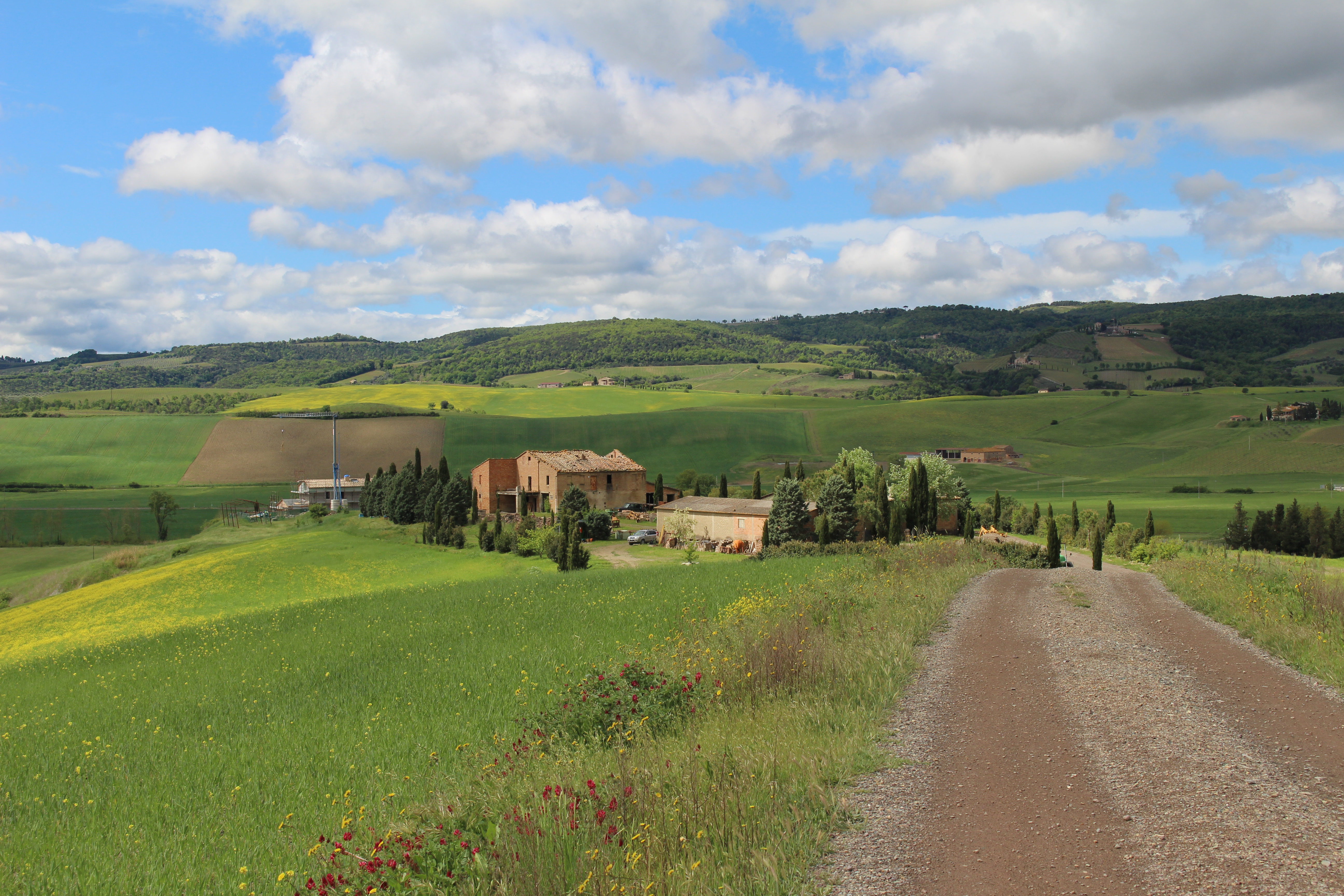
I then drove to Mulberry Bend Overlook. The first known inhabitants were American Indian tribes which lived in the area as early as 6,000 years ago. These groups built villages consisting of earth lodges and log houses.
I only went to the first two vistas, Village Vista and River Bend Vista, one of the highest elevation points at the Mulberry Bend property.
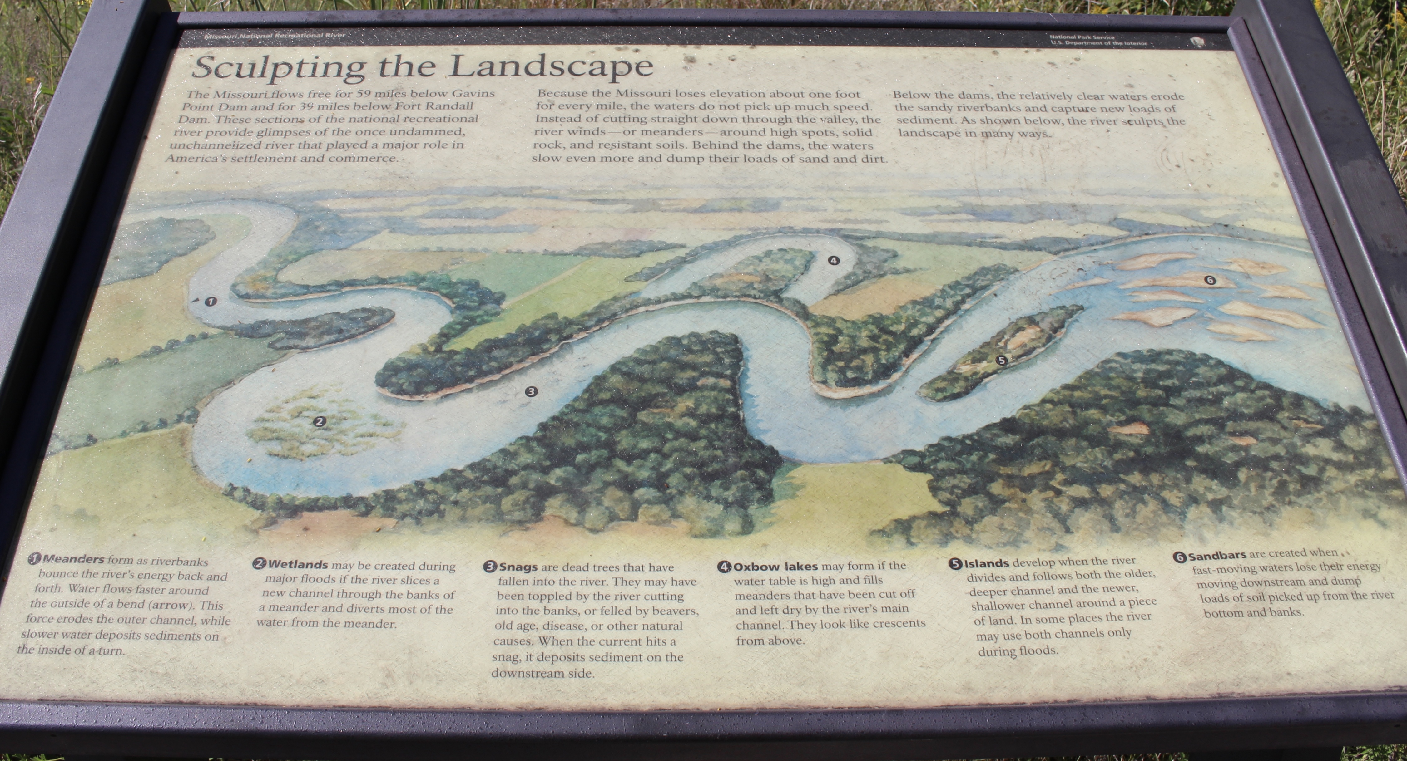
The Missouri River flows free from 59 miles below Gavins Point Dam and for 39 miles below Fort Randall Dam. These sections of the river provide glimpses of the once undammed, unchanneled river that played a major role in America’s settlement and commerce.
Because the Missouri loses elevation about one foot for every mile, the waters do not pick up much speed. Instead of cutting straight through the valley, the river meanders around high spots, solid rock, and resistant soils. Behind the dams, the waters slow even more and dump their loads of sand and dirt. Below the dams, the relatively clear waters erode the sandy riverbanks and capture new loads of sediment. The river sculpts the landscape in many ways, as shown below.
Mulberry Bend Overlook
Lewis & Clark visited the Mulberry Bend area on August 24, 1804. They explored this area surrounding the river, including Spirit Mound.
Lewis & Clark traveled on a hardly recognizable river in comparison to today’s river, partly due to the Missouri River Flood of 1881. Massive blocks of ice and the thawing river created a new river channel (present-day Mulberry Bend), rerouting the Missouri River five miles south and destroying the town of Vermillion.
Mulberry Bend Overlook
The Missouri, the continent’s longest river, figures prominently in the unfolding of America’s saga. Flowing nearby in its 2,341 mile course from the Rocky Mountains to the Mississippi, the Big Muddy is not only loaded with sediment, but steeped in stories about American Indians, Lewis and Clark, fur traders, and steamboat captains.
Mulberry Bend Overlook
Here, I found flowers such as Lewis Flax, Sumac, Sawtooth Sunflower, Pale Purple Coneflower, White False Indigo, Common Milkweed, Black Eyed Susan, Western Salsify (Goatsbeard), Buffaloberry, and Vervain.
Mulberry Bend Overlook

Mulberry Bend Overlook

Finally, I headed to Ponca State Park in Nebraska. I went through Newcastle, Nebraska. I passed Brock stiffened grain bins, which were short and squat. Pinto ponies grazed in a junky yard.
I decided I have become a geek! I used to never care about history or even geography, but I now find it all fascinating.
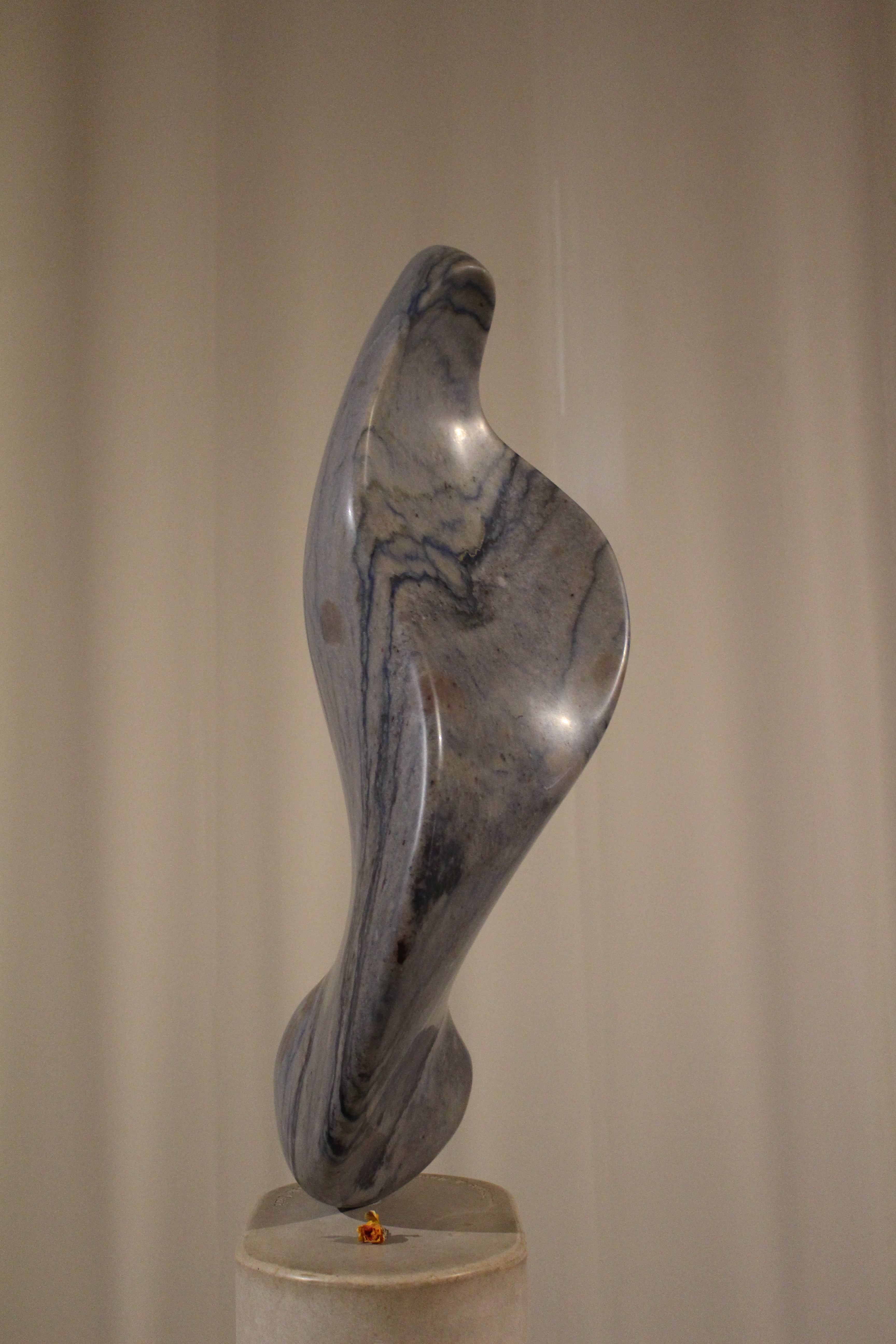
At Ponca State Park, I saw Towers in Time, a sculptural representation of three towers which revolves around water as the center of life. It celebrates the origins of life, geological formations and the mammals found in the region. A waterfall titled “Stairway of Falls” and “Reflecting Pond” celebrates the water and its foundation for all life.
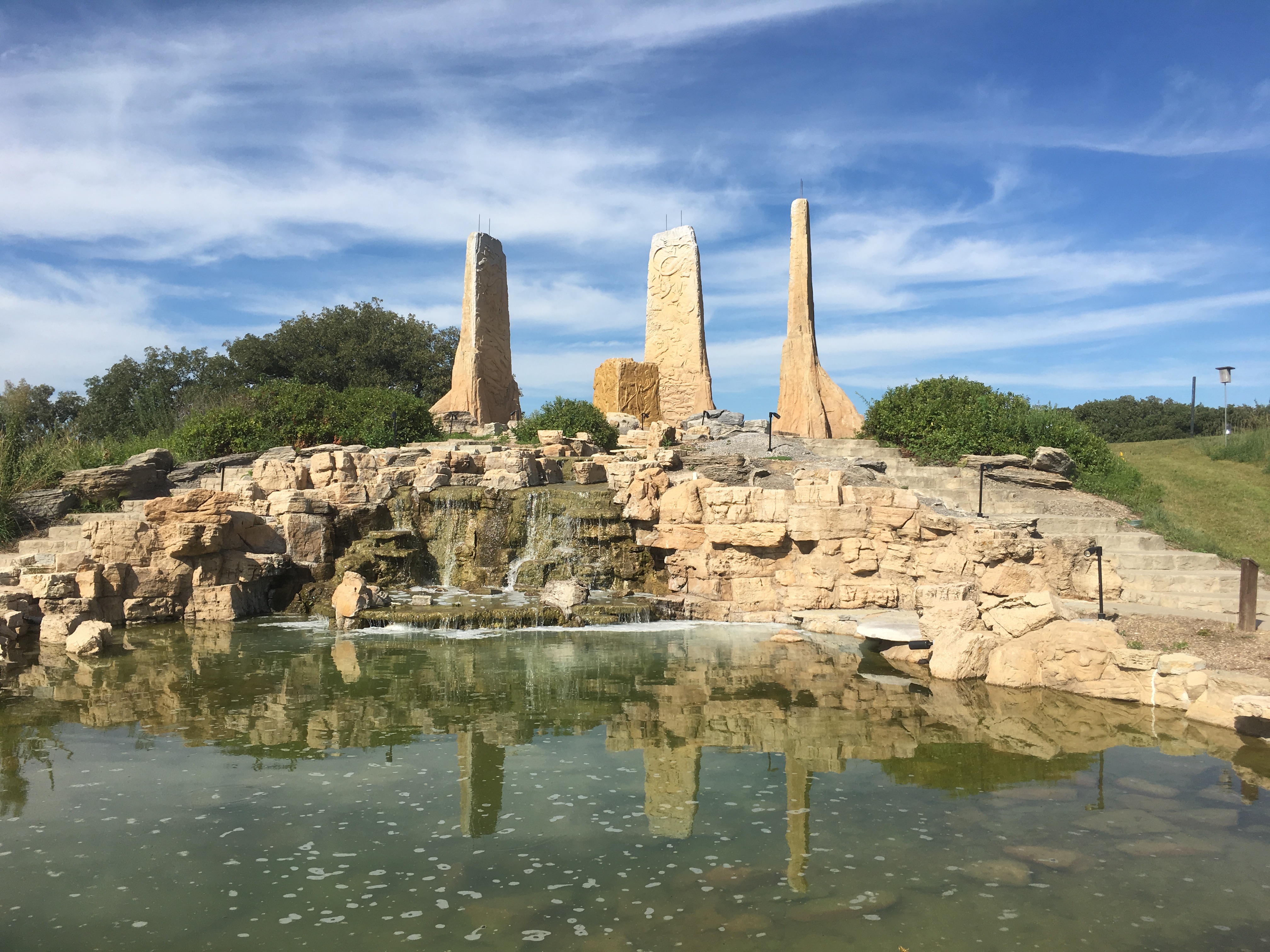
Towers in Time at Ponca State Park

Towers in Time at Ponca State Park

Towers in Time at Ponca State Park

Towers in Time at Ponca State Park

Towers in Time at Ponca State Park

Towers in Time at Ponca State Park

Towers in Time at Ponca State Park

Towers in Time at Ponca State Park
I stopped at the Three State Overlook – Lewis and Clark Trail, which overlooks Nebraska, South Dakota and Iowa.

3 State Overlook – Lewis and Clark Trail

3 State Overlook – Lewis and Clark Trail
I also went to the Educational Center, which told me more about the Expedition, the habitats along the river, and the Native Americans they encountered.
By 5:20, I was on 19N to begin the long drive to Sioux Falls, South Dakota. I drove back over the Vermillion River. I passed signs for New You Consignments and Marines Fight to Win. I saw a Whimps Steak House.
When I got on I-29 N, the speed limit was 80mph!! It was a bit scary as I’m used to a 60-65 mph speed limit.
I passed Beresford, Irene, and the Yankton Sioux Tribal Headquarters. A sign said: EAT STEAK. WEAR FURS. KEEP GUNS. THE AMERICAN WAY. (No surprise, considering the part of the country I was in).
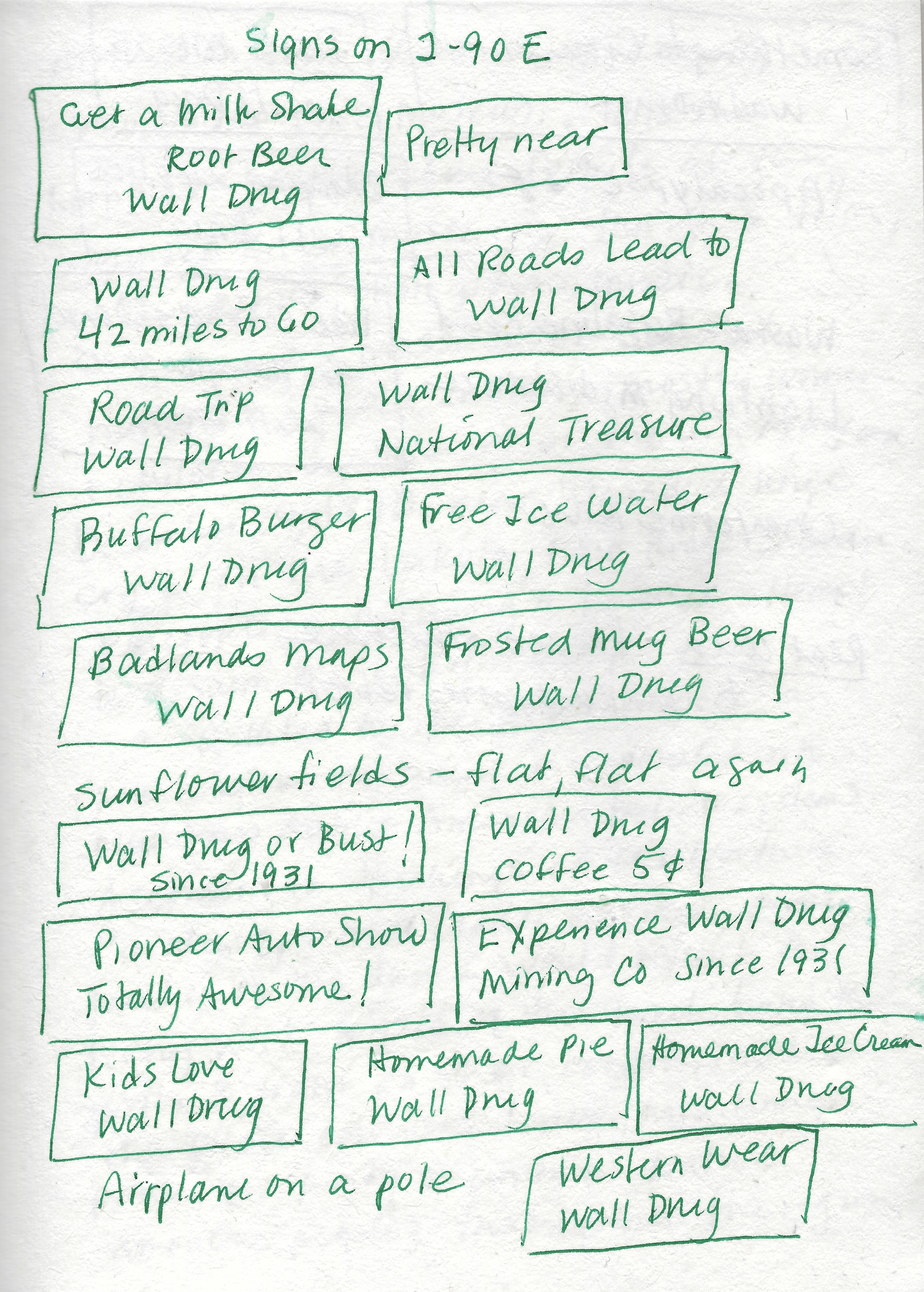
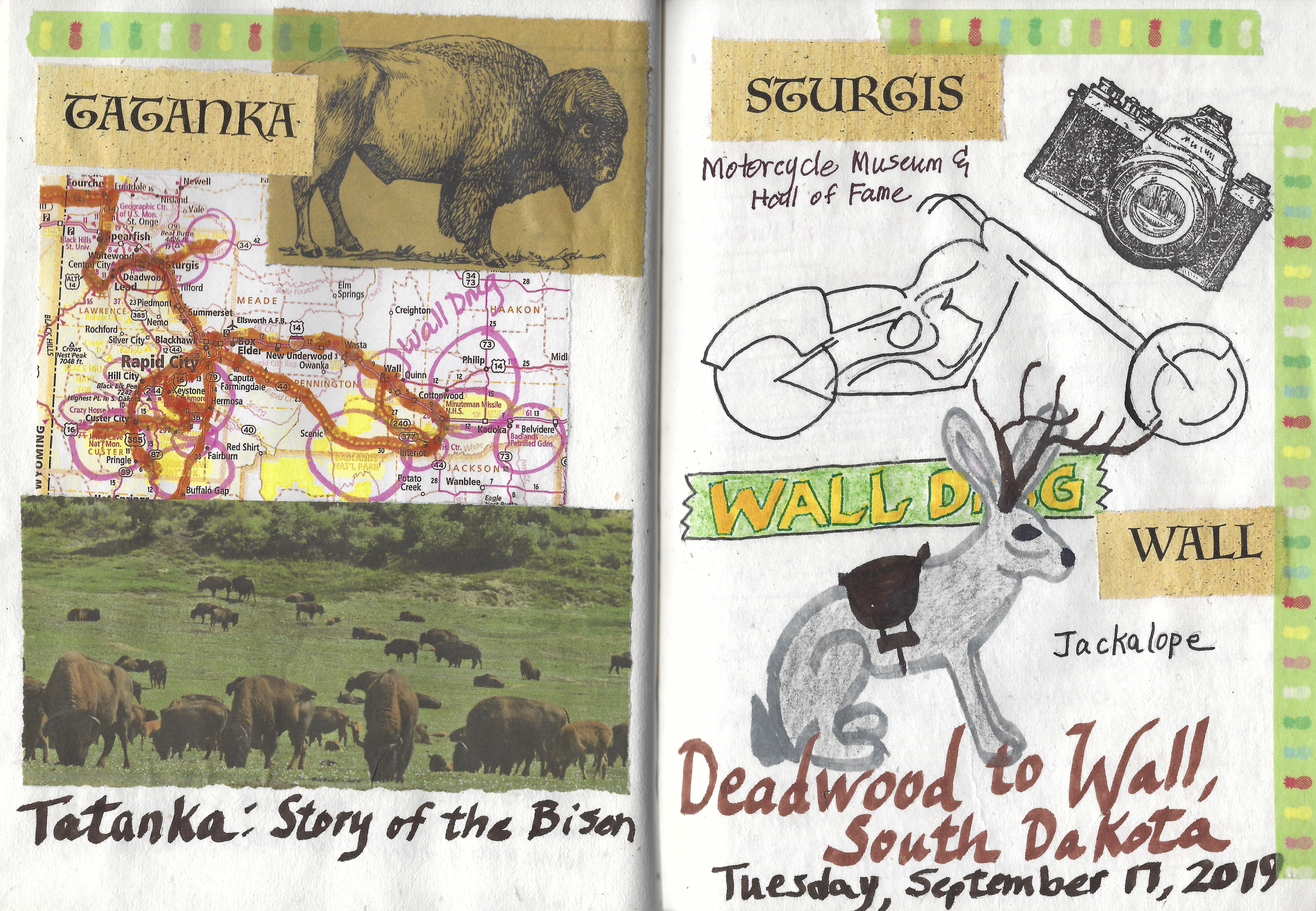
A sign for Wall Drug first appeared: THE REMEDY 4U: WALL DRUG. I passed Olivia’s Adult Superstore, Windwalker Transportation, and Minnehaha Co.
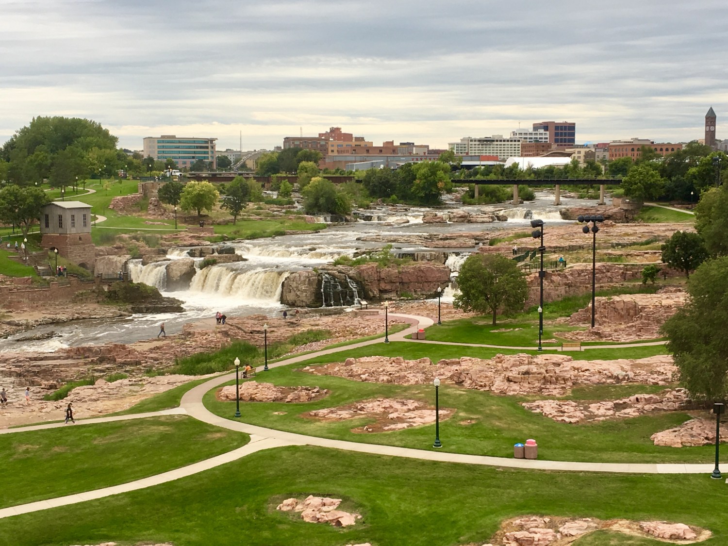
Finally, I checked in at AmericInn by Wyndham in Sioux Falls.
I had a soup and salad combo for dinner at Chili’s: Southwest chicken soup: chicken, hominy, and tomato in ancho-chile chicken broth, tortilla strips, cilantro, along with a green salad with Ranch. Also a glass of Nobilo Sauvignon Blanc, which reminded me of Montepulciano in Italy.
Here are my cancellation stamps for the Missouri National Recreation River and my journal page from today.

cancellation stamp for Missouri National Recreation River

journal page from today
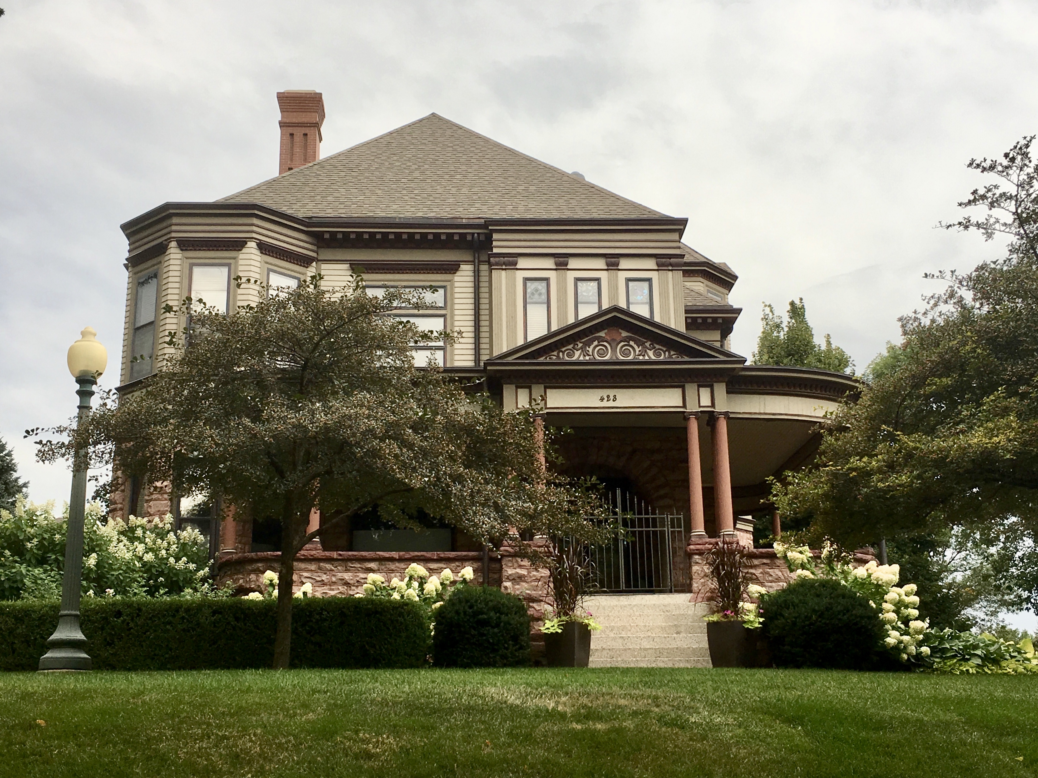
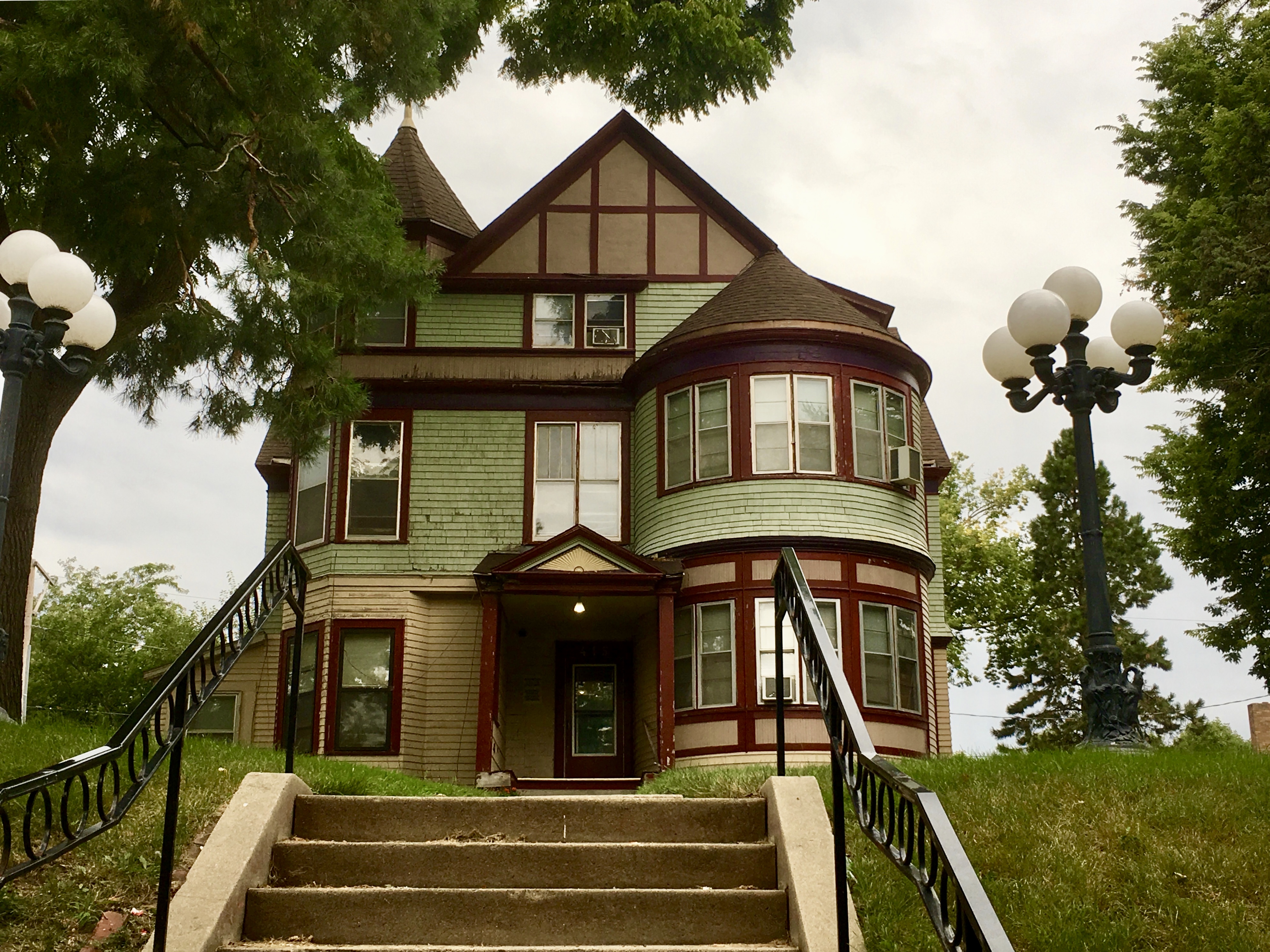
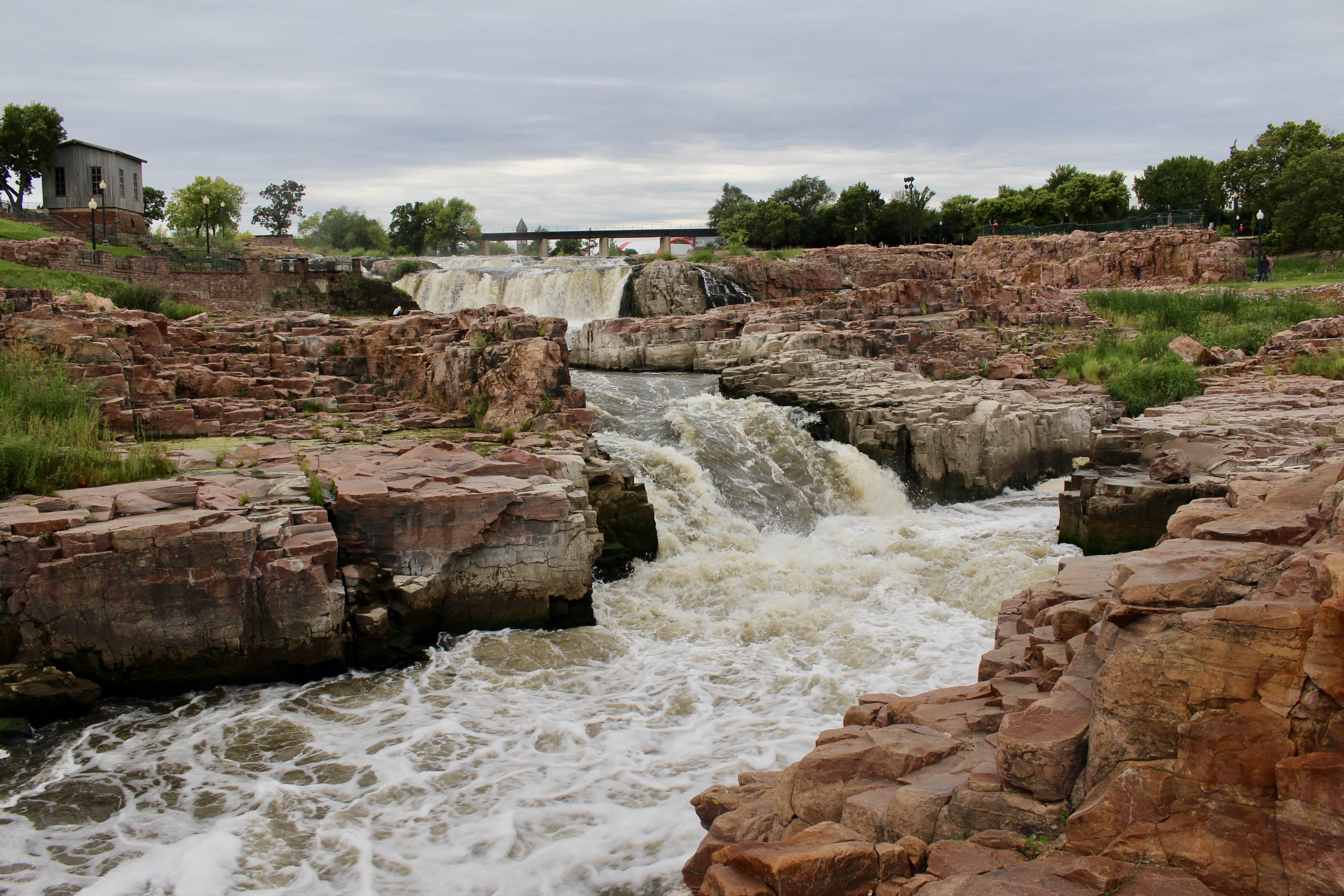
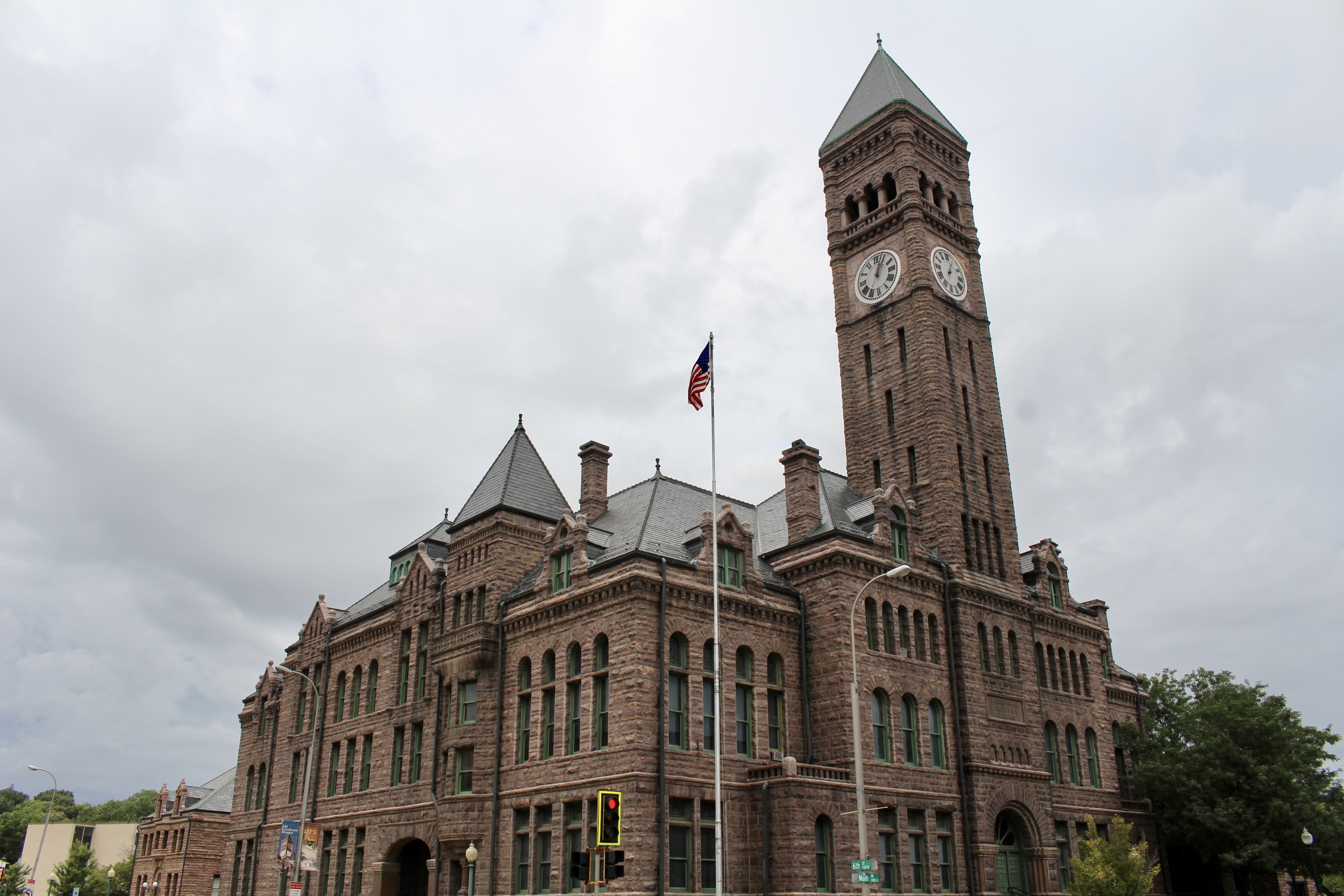
The next day, I would explore Sioux Falls, South Dakota.
All information is from brochures from the park service and signs at the various sites.
*Drove 238.7 miles; Steps: 13,339, or 5.65 miles*
*Friday, September 6, 2019*


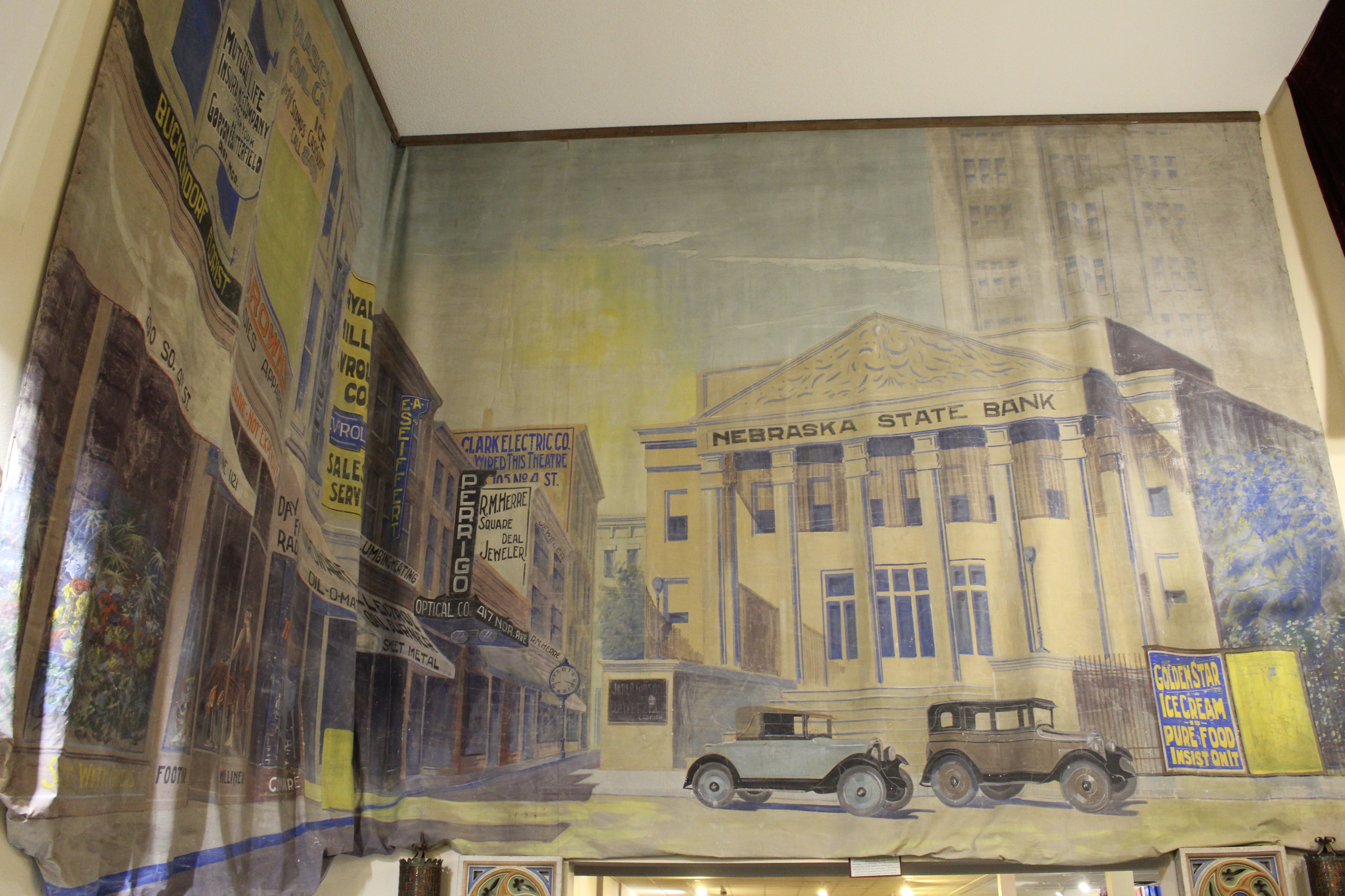


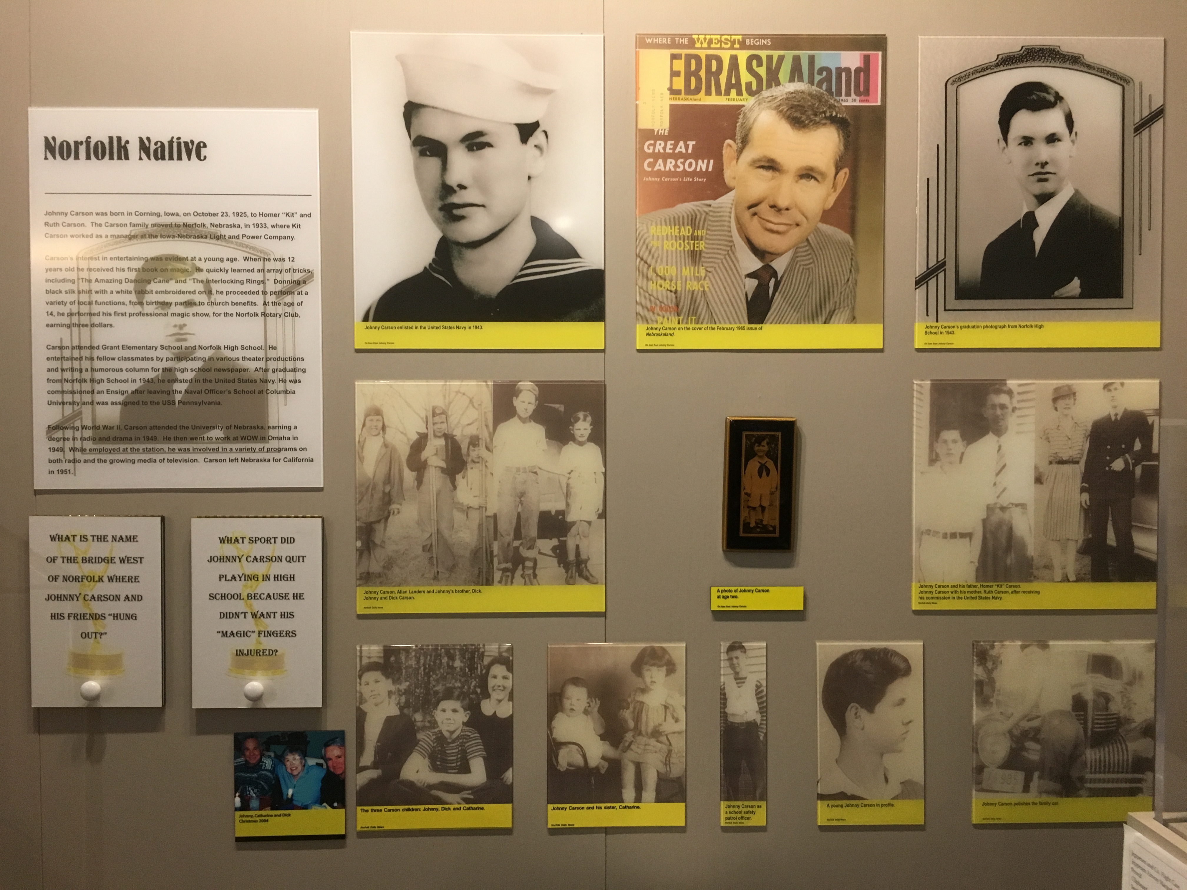


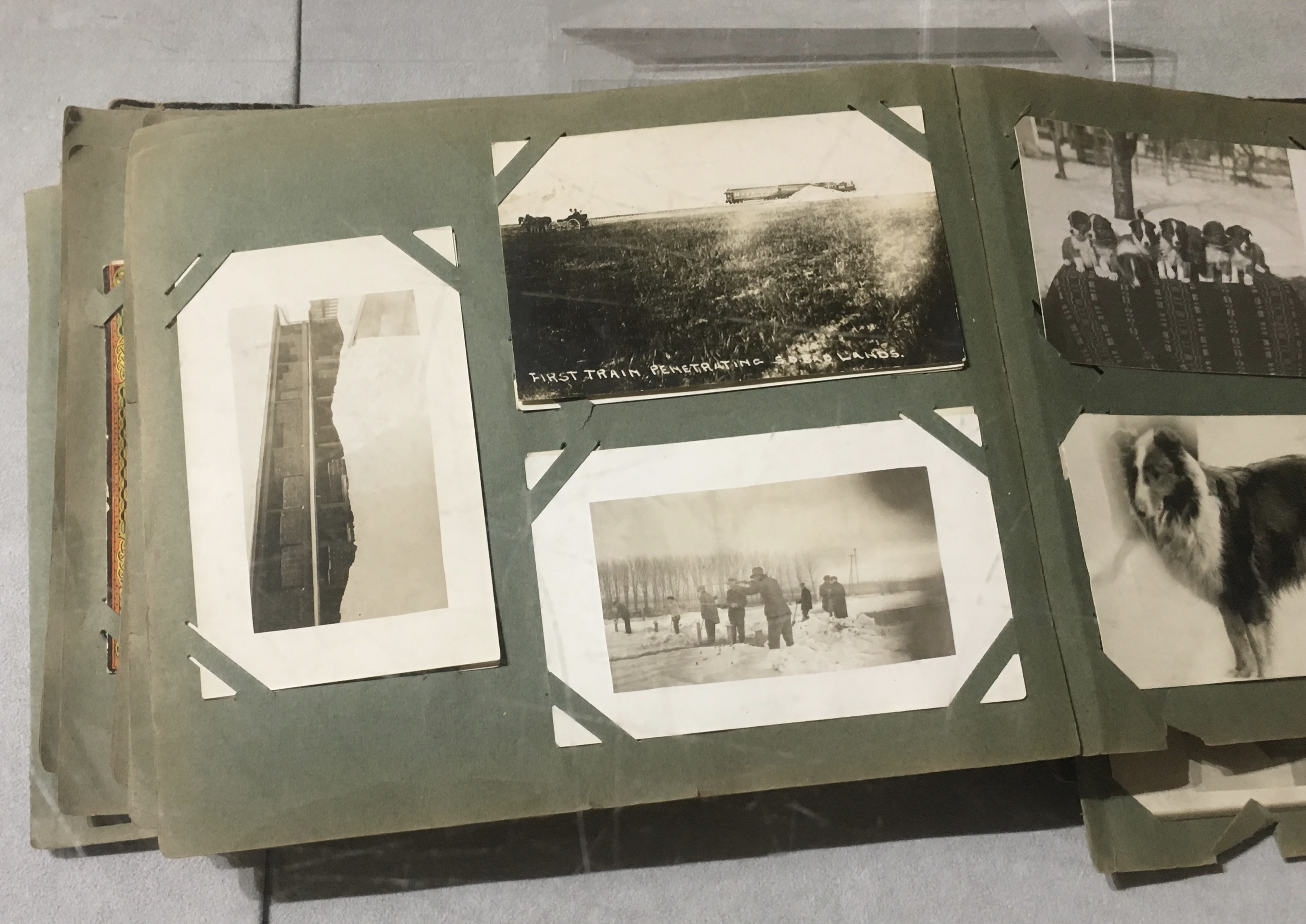


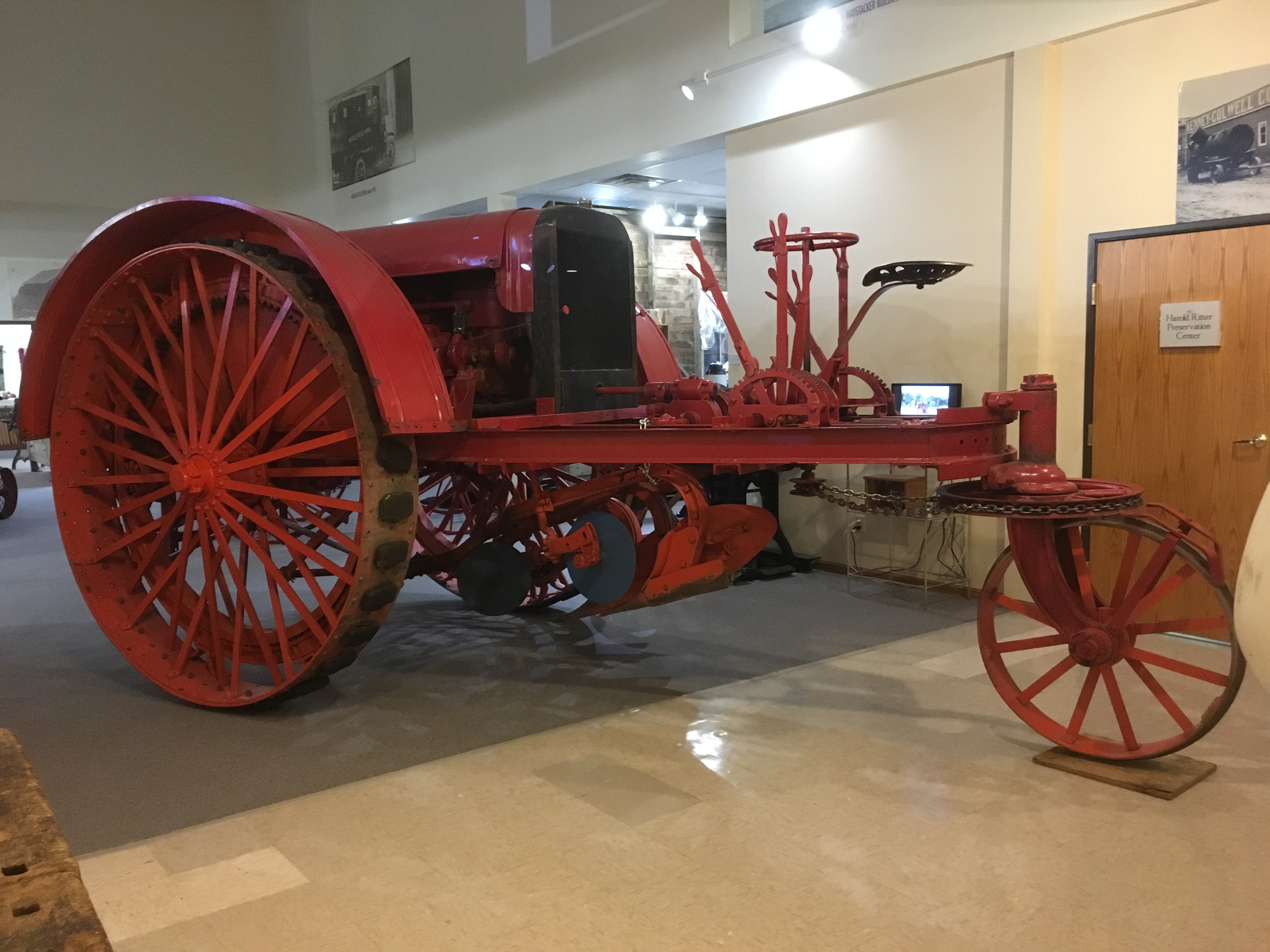 There was a timeline of Norfolk and the hardships people had to endure. One newspaper articles discussed grasshopper hordes, or “hopper blizzards,” in the early 1900s. Other photo exhibits showed floods, blizzards, and fires.


You must be logged in to post a comment.