
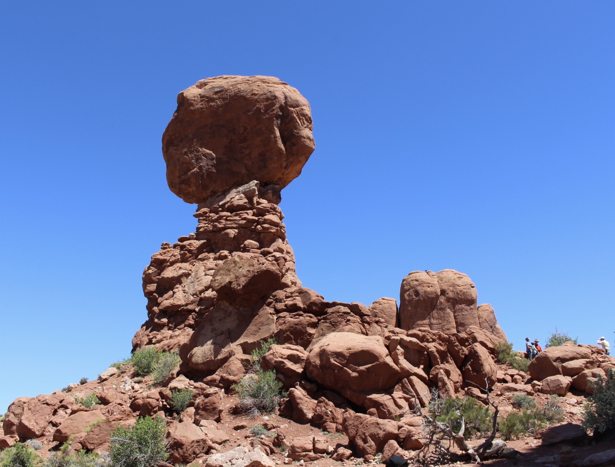
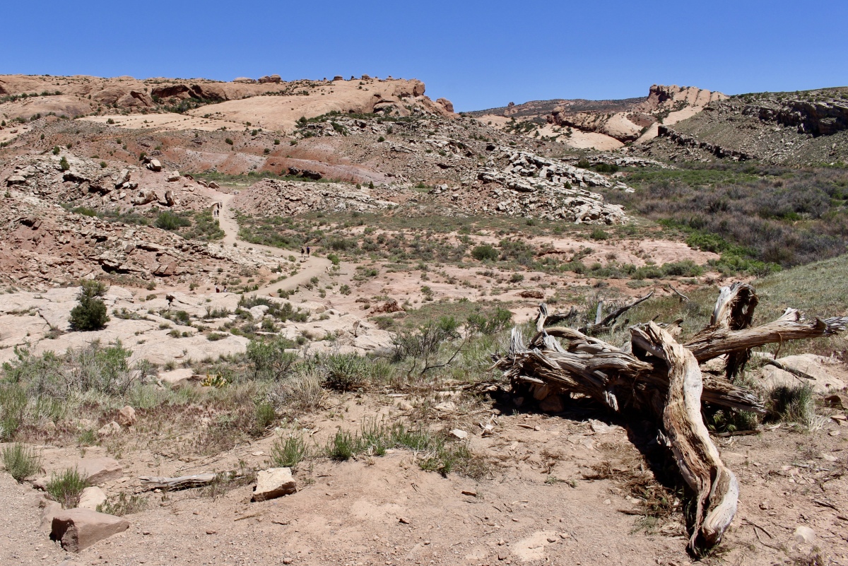
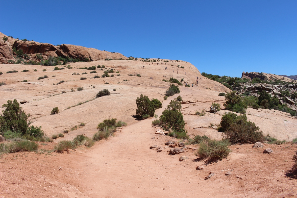
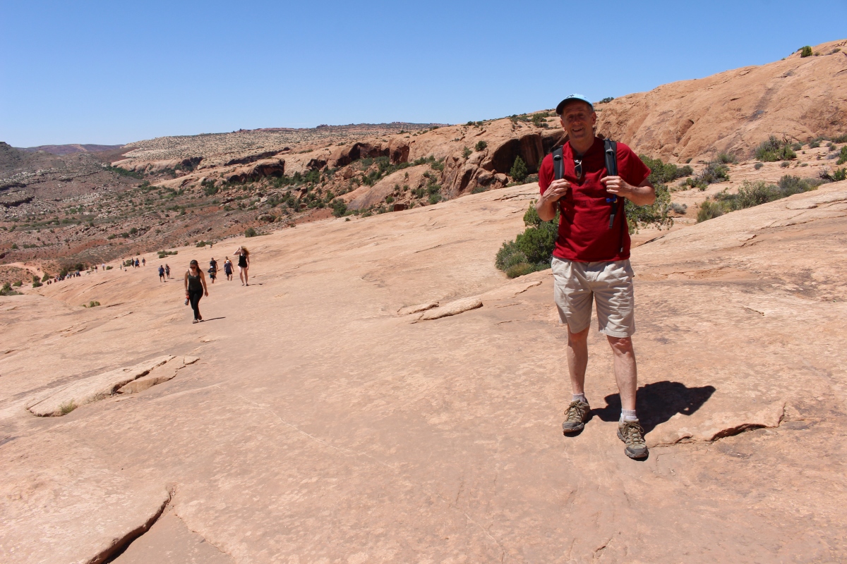
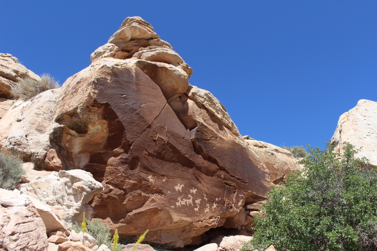
The Devils Garden Trail at the far end of Arches National Park offers routes of various difficulty and length, varying from 1.6-7.2 miles. The longest of the maintained trails in Arches National Park, Devils Garden Trail goes to seven impressive arches, with several more visible from the trail.
On our second morning, we took the hike to Landscape Arch and then climbed up further to Partition Arch and Navajo Arch. We had to hustle to keep ahead of the Chinese tourists who were disembarking from their tour bus.
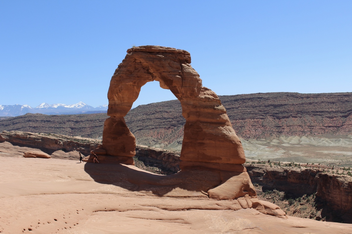
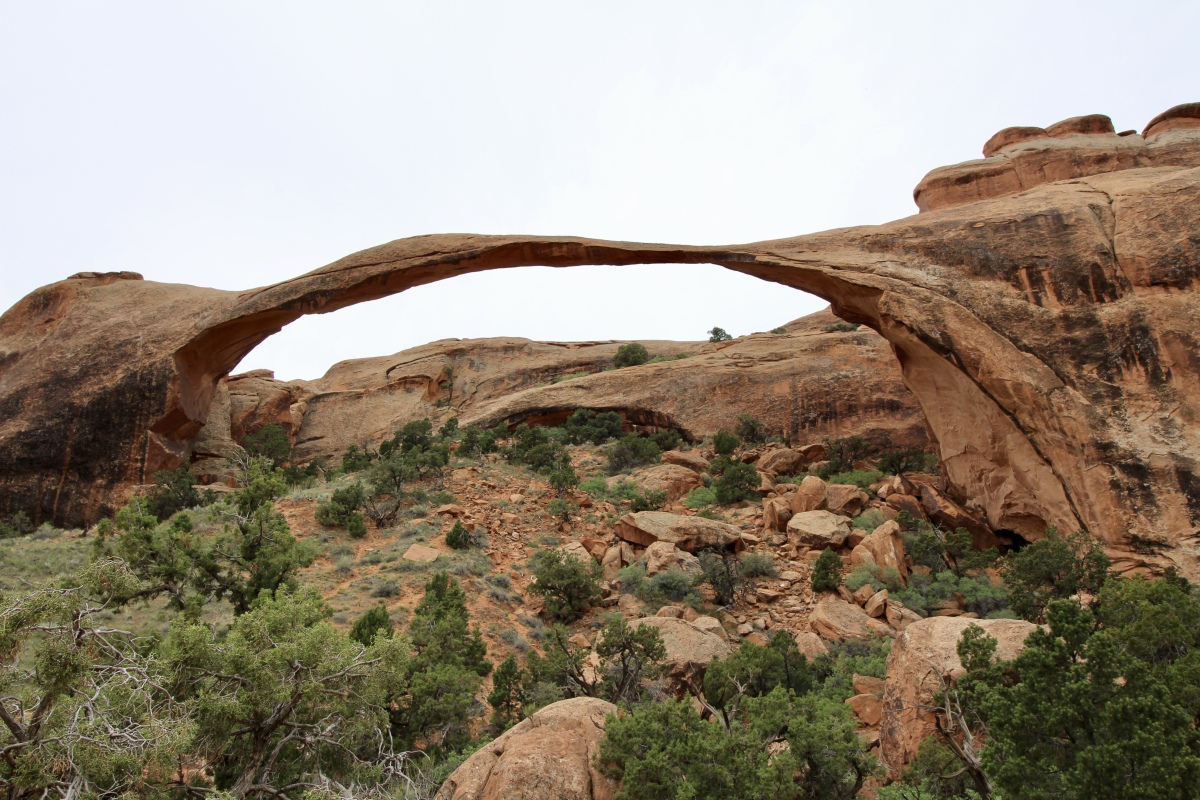
The Landscape Arch Trail is easy and well-graded, providing a close look at one of the longest natural stone spans in the world.
For this hike, I used, for the first time, my new wide-angle lens (with the exception of the last two photos).
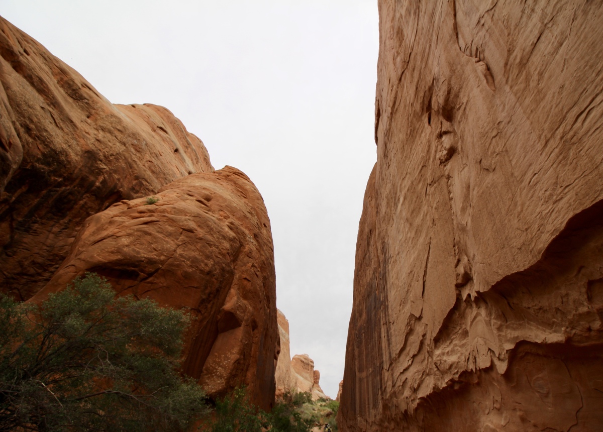
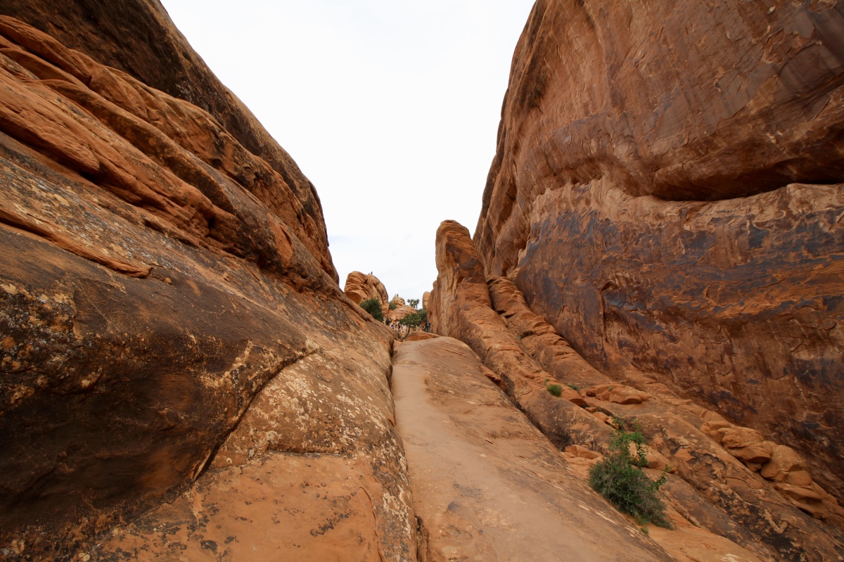
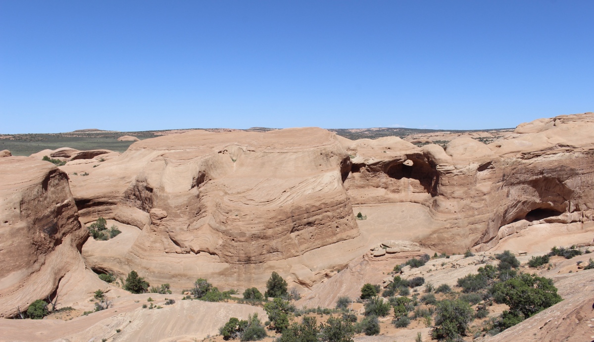
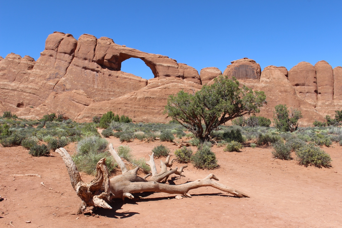
walking through a slot canyon into Devils Garden

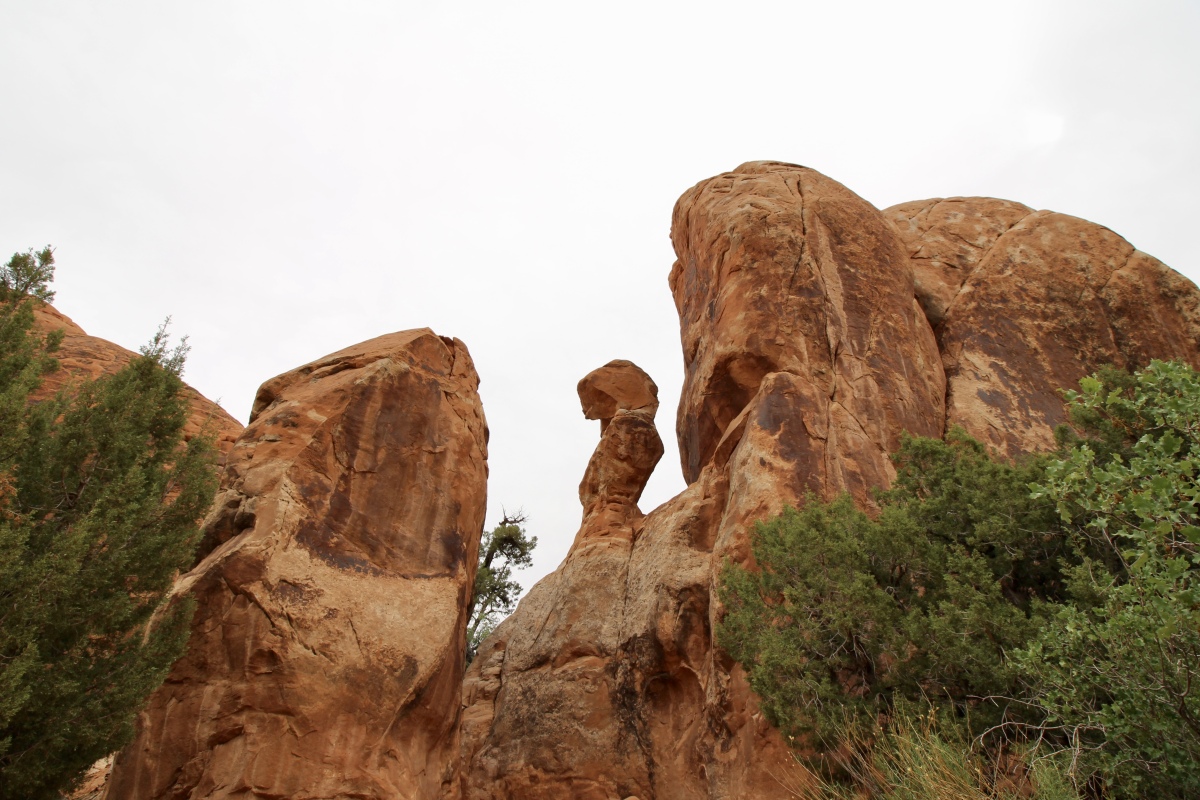
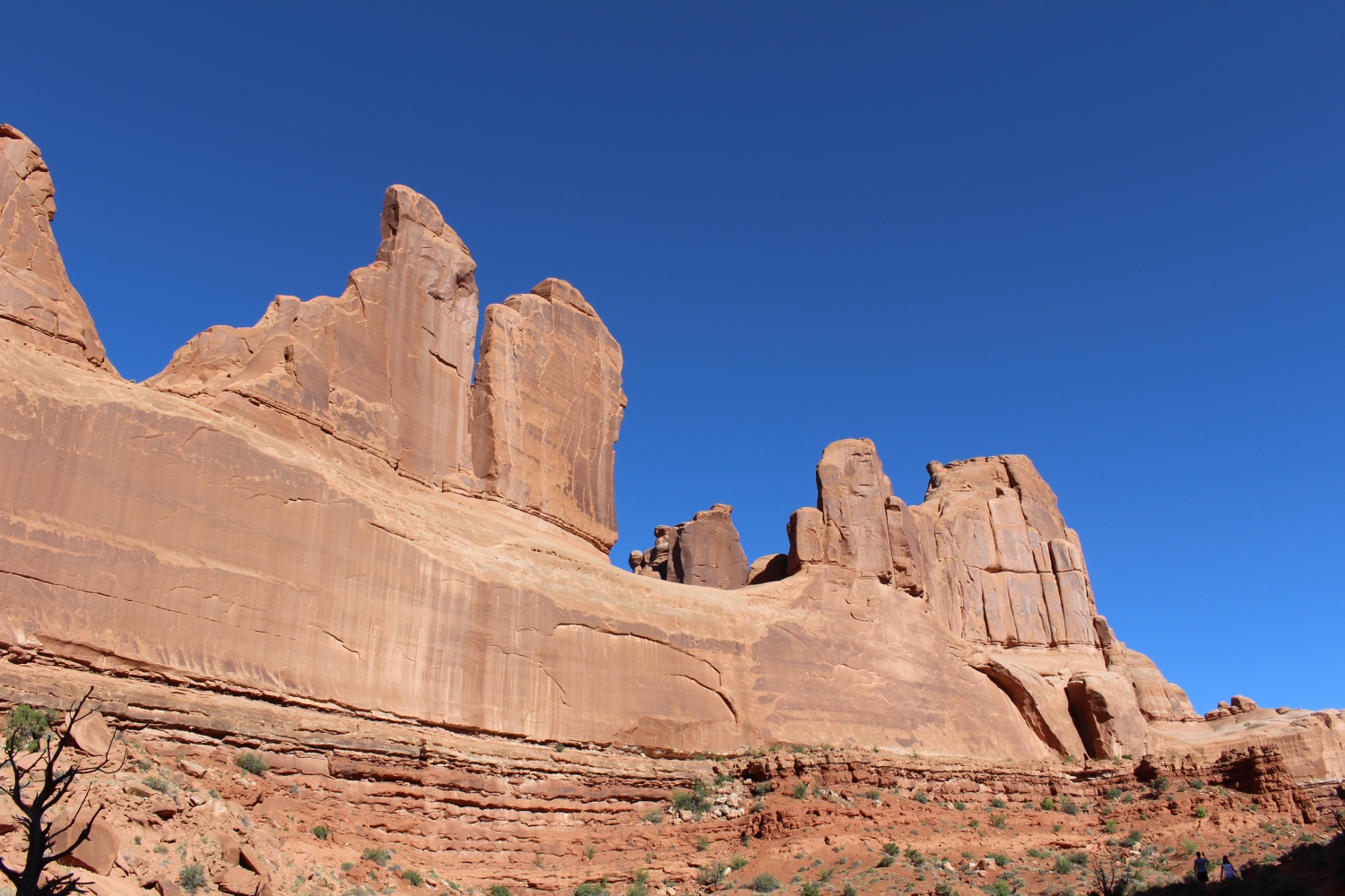
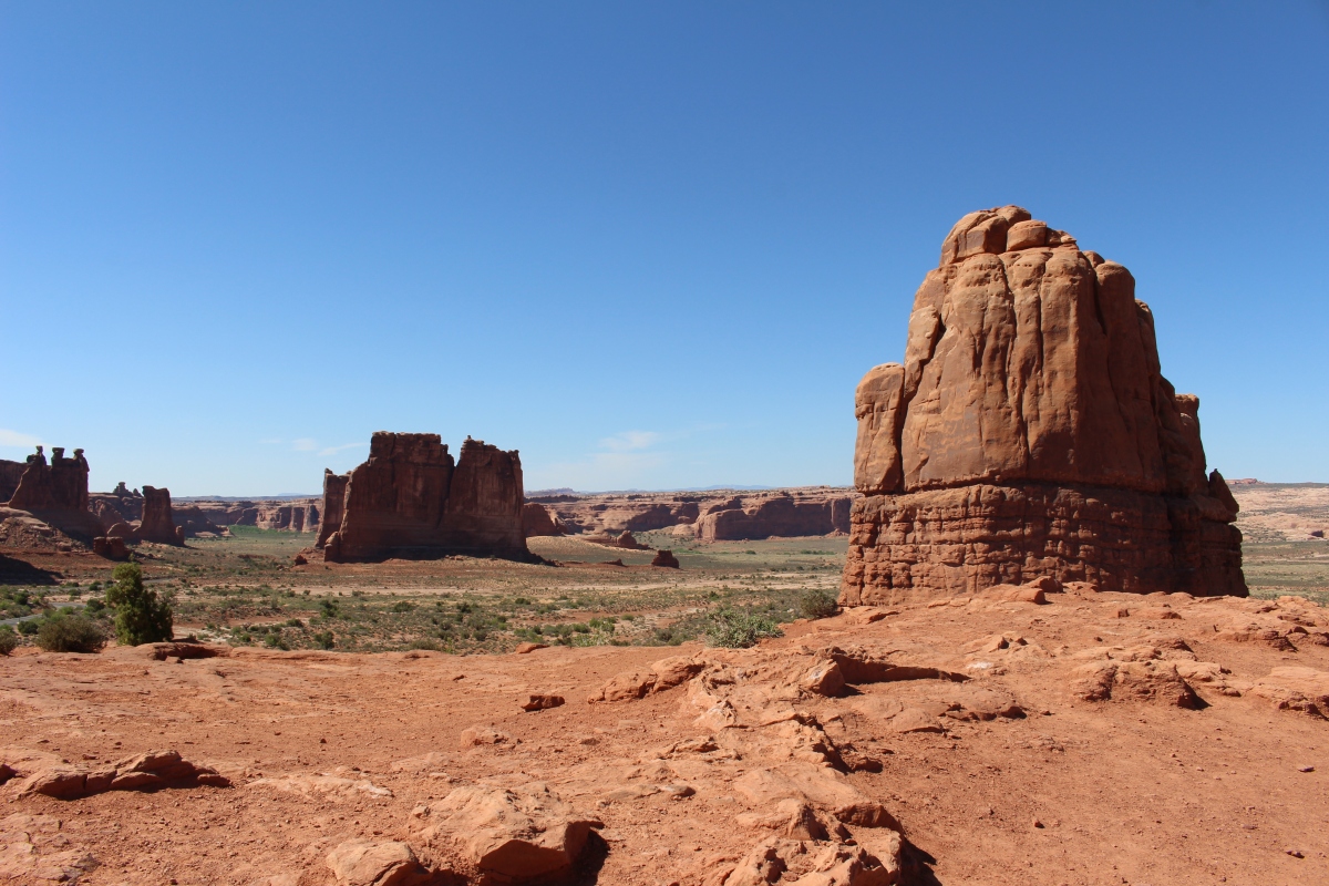
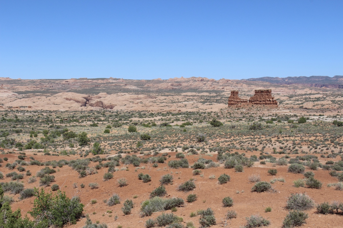
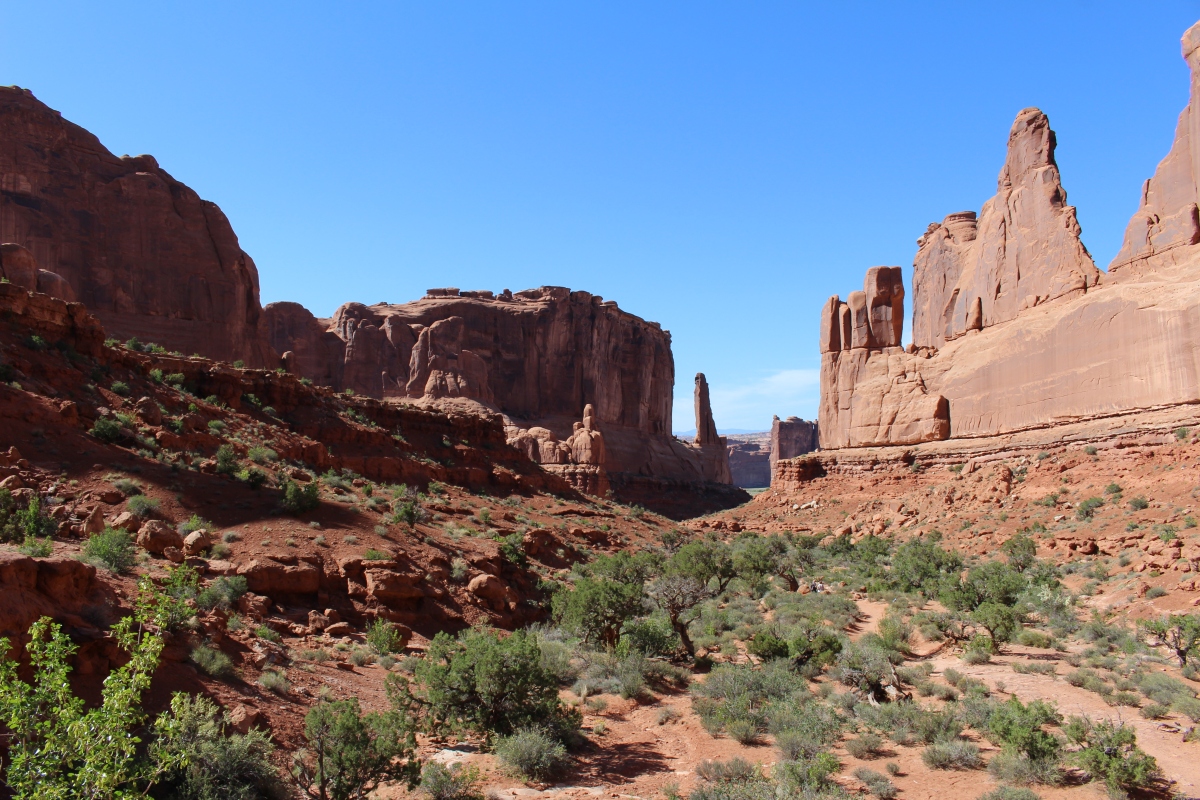
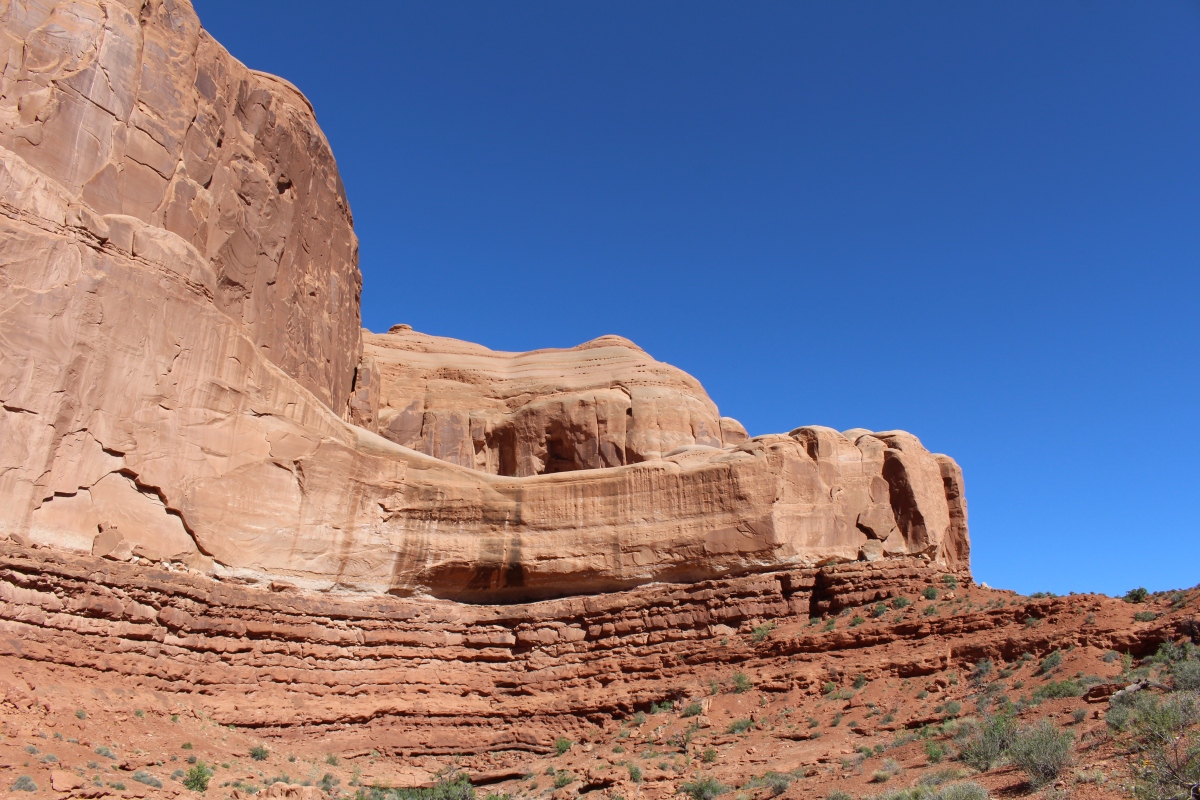
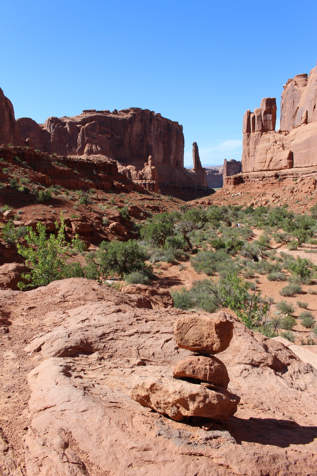
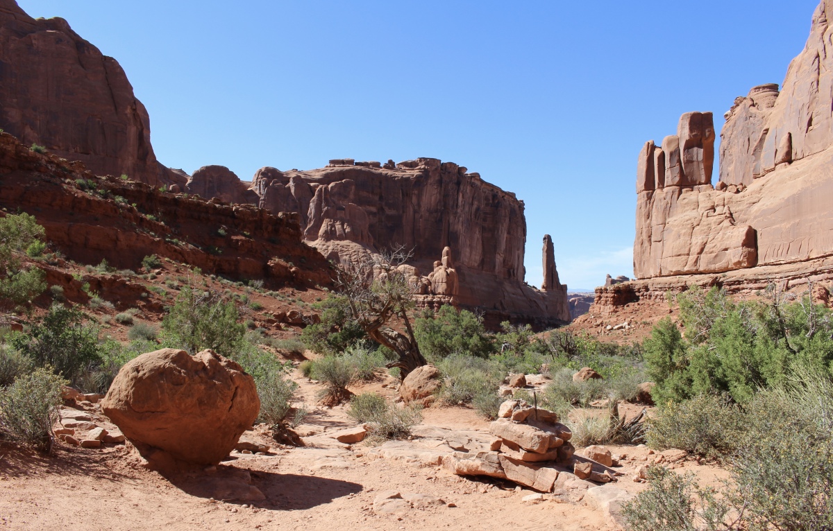
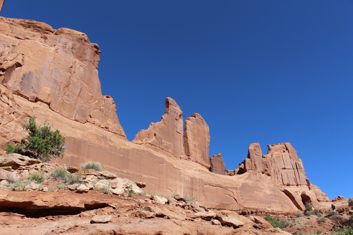
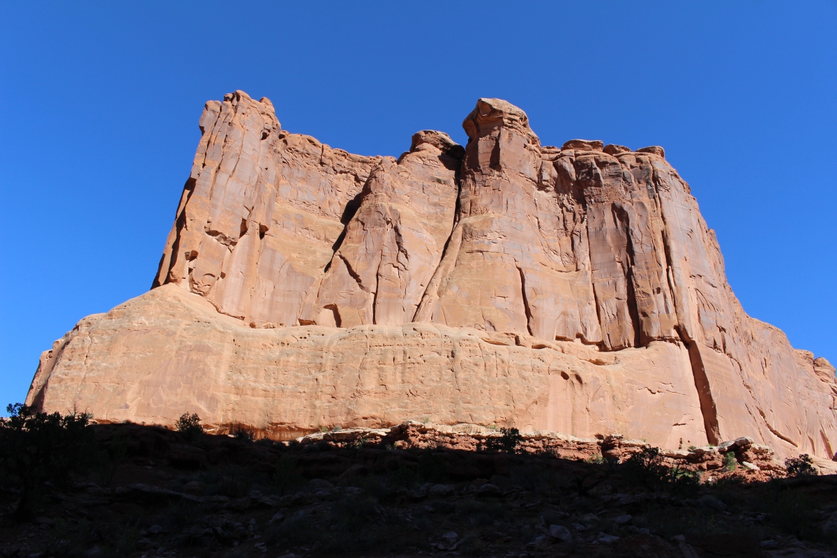
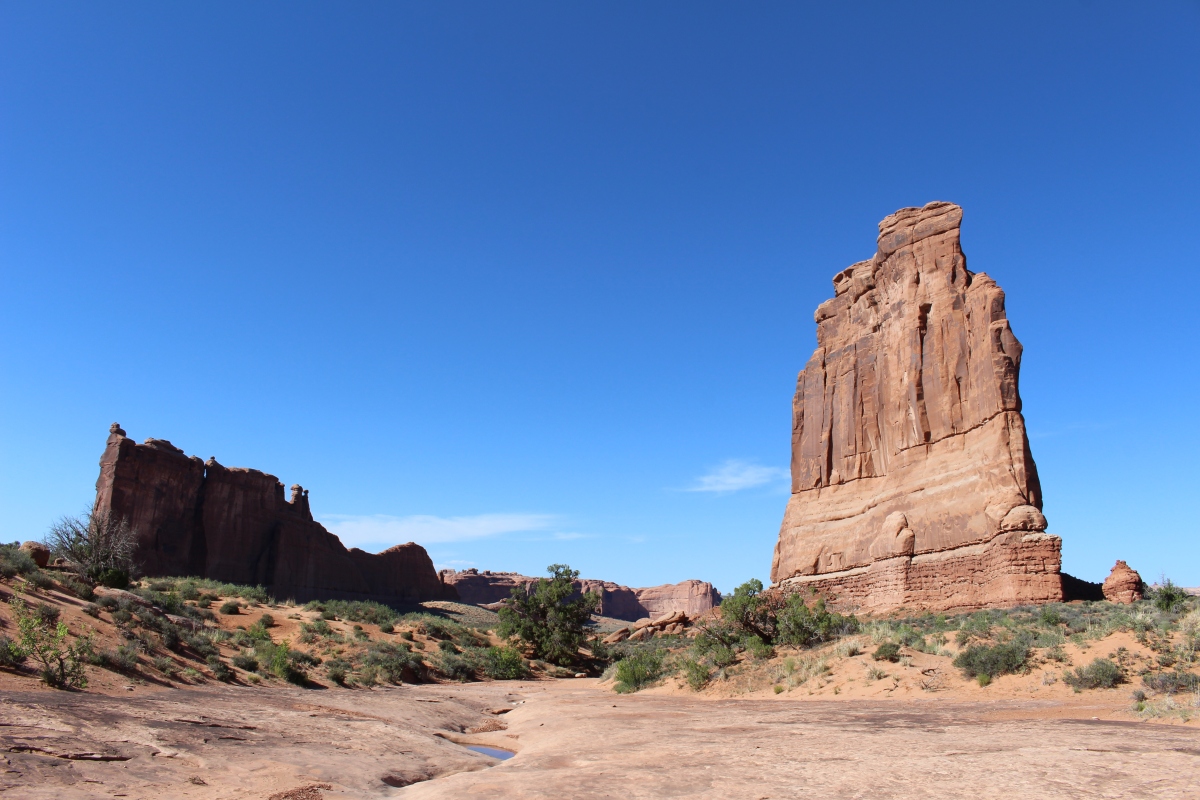
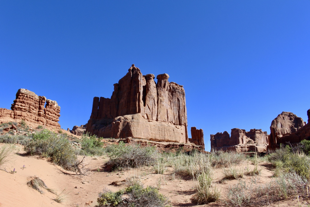
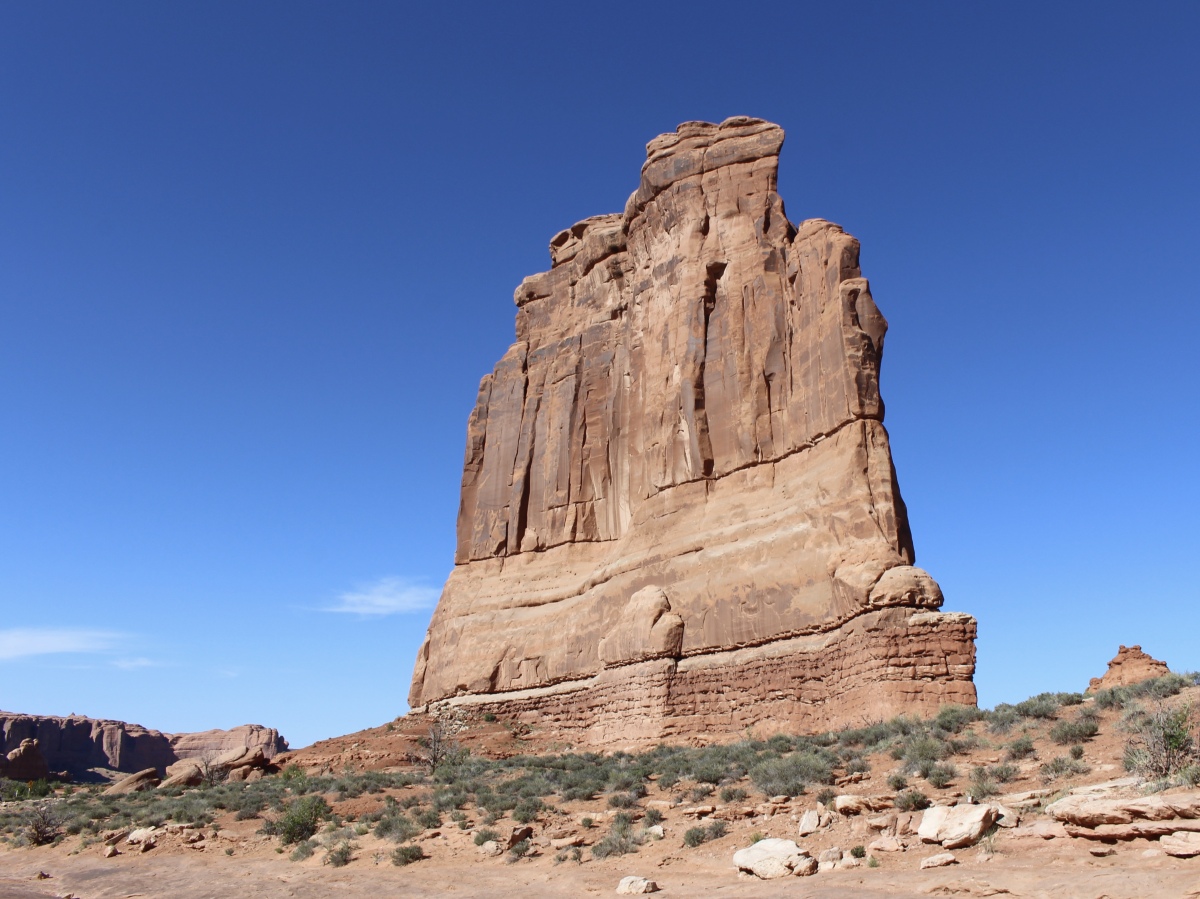
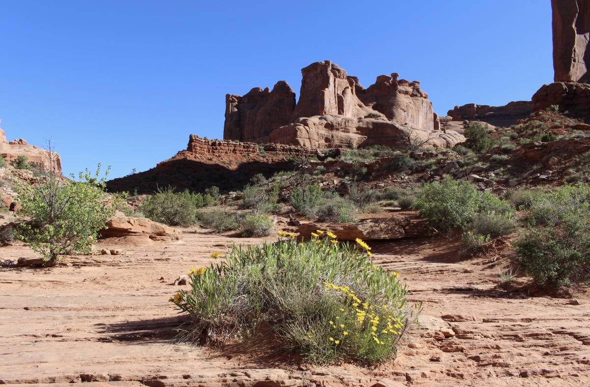
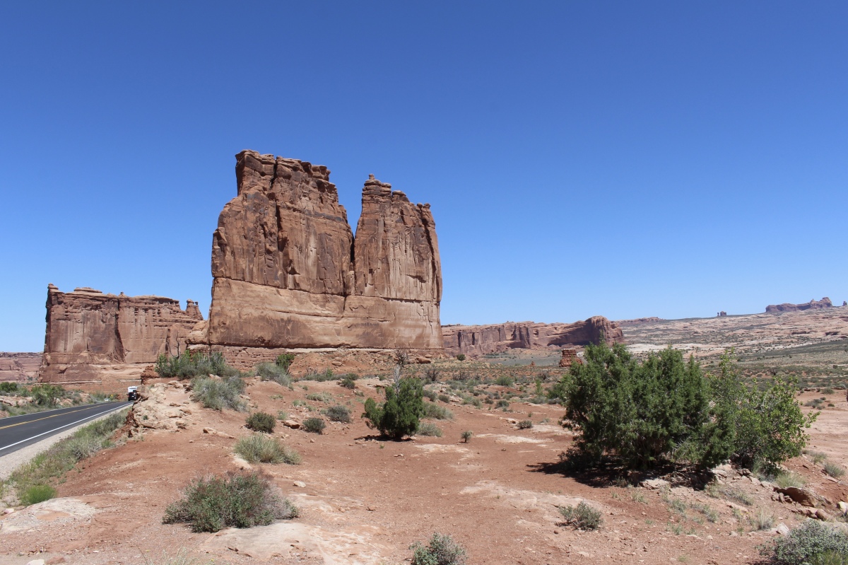
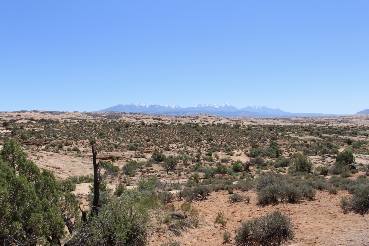
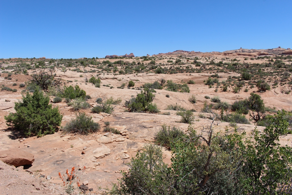
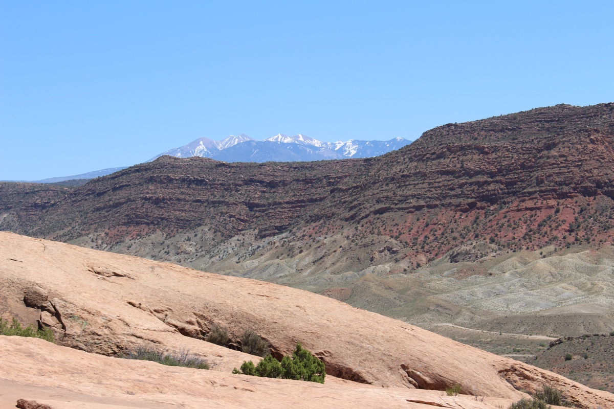
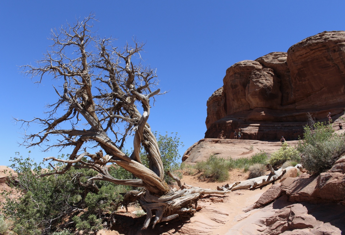
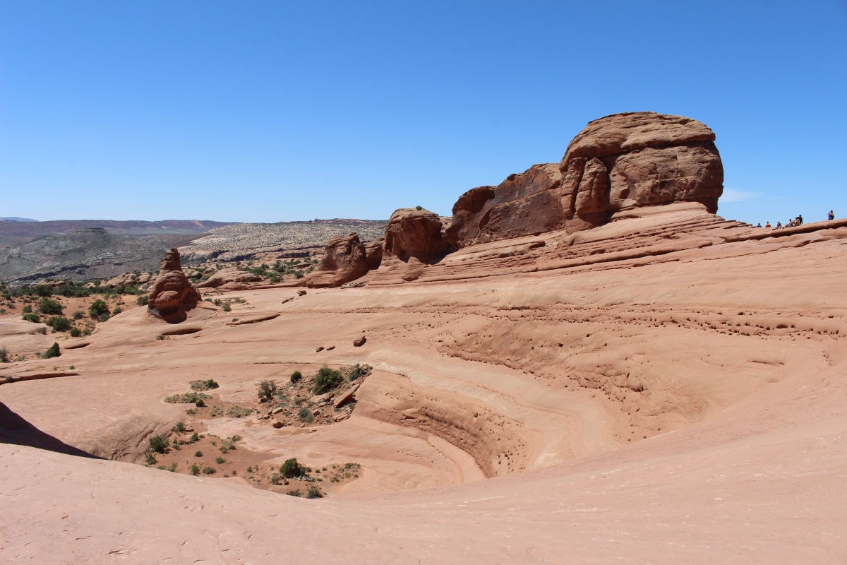
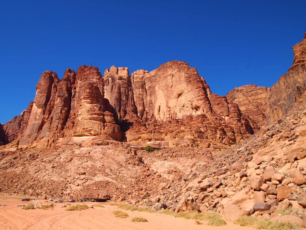
Devils Garden Trail
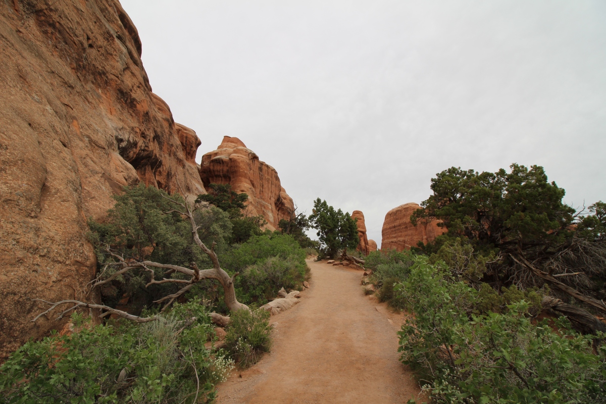
Devils Garden Trail

Devils Garden Trail
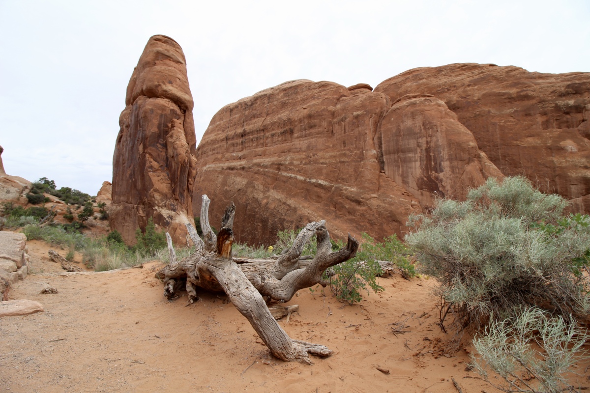
Devils Garden Trail
Devils Garden Trail

Devils Garden Trail
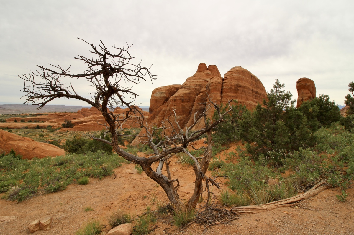
Devils Garden Trail
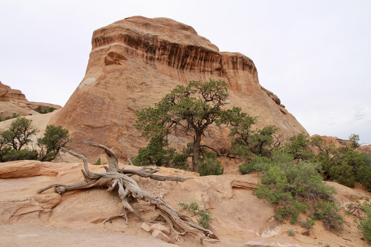
Devils Garden Trail
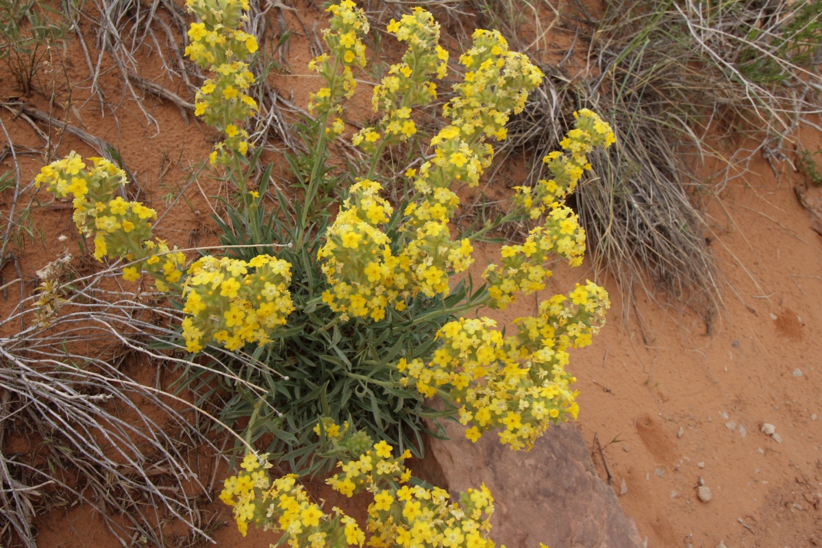
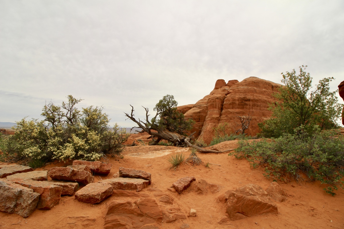
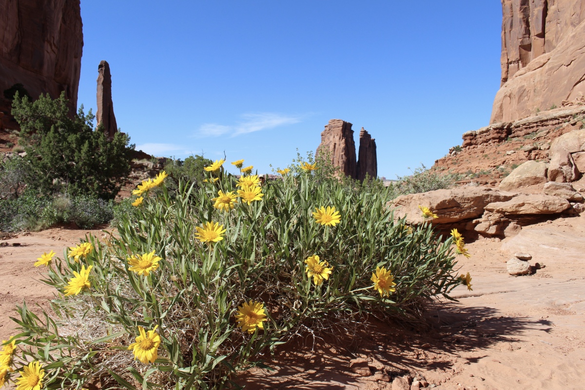
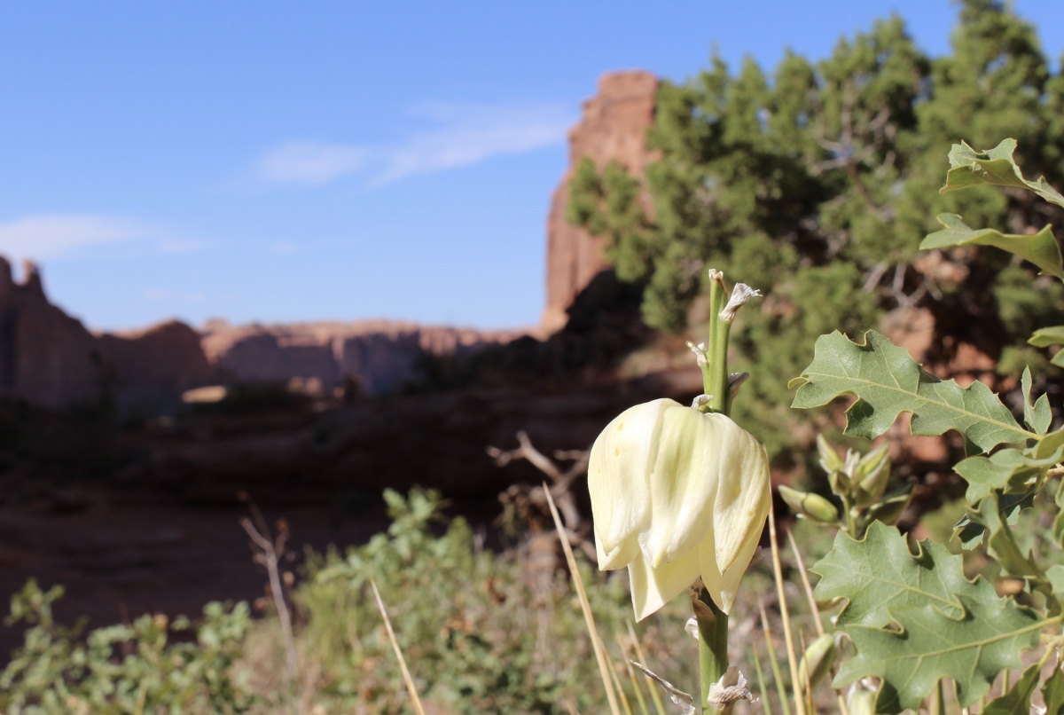
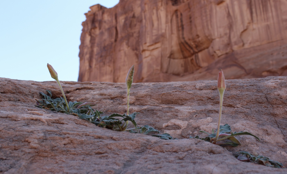
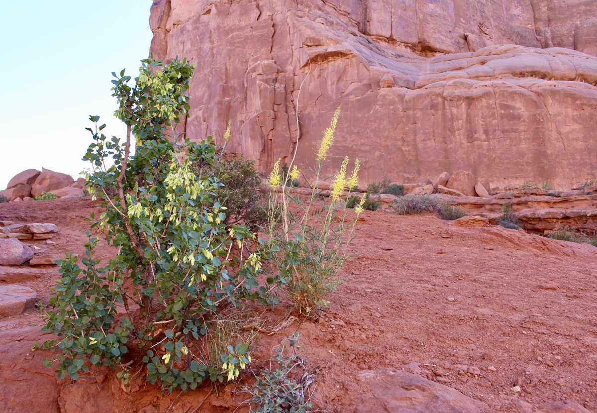
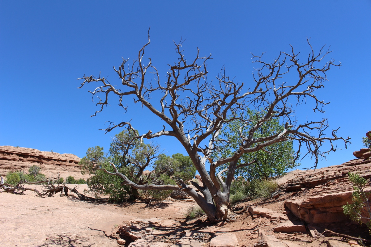
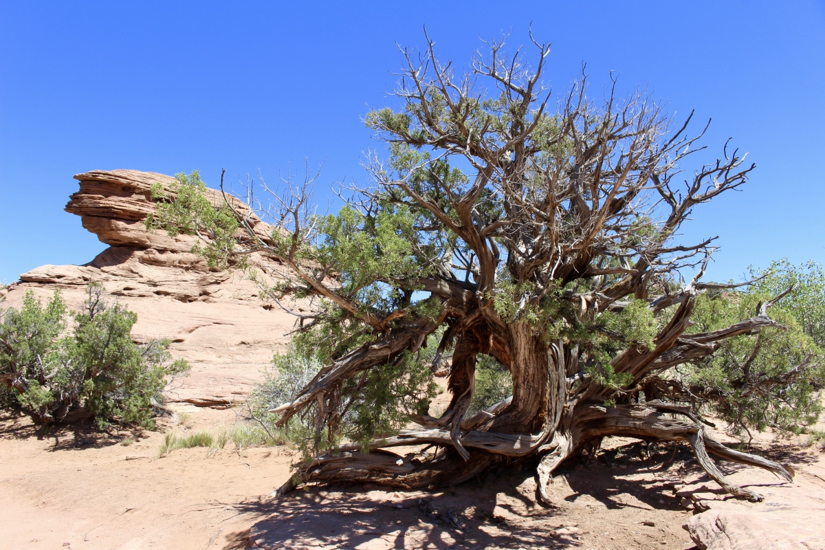
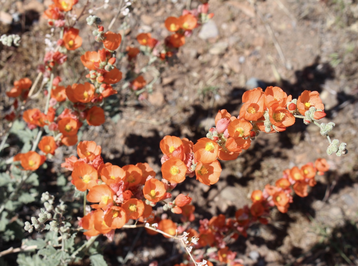
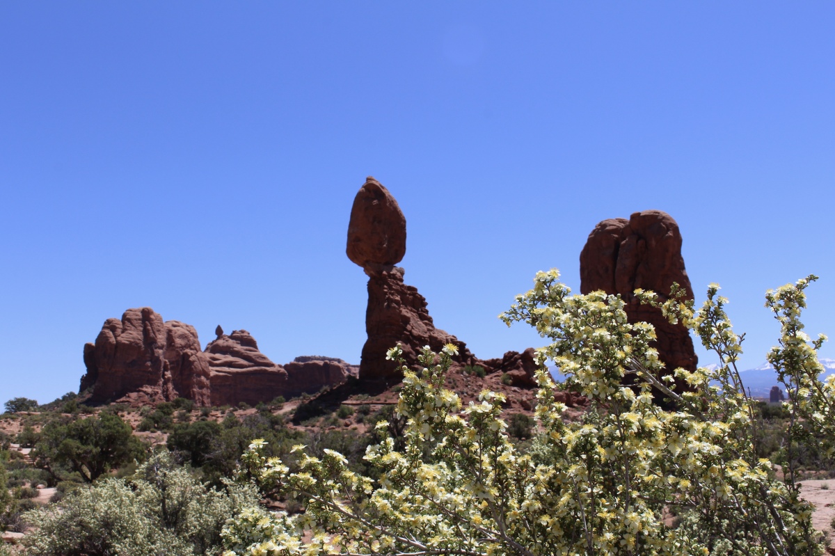
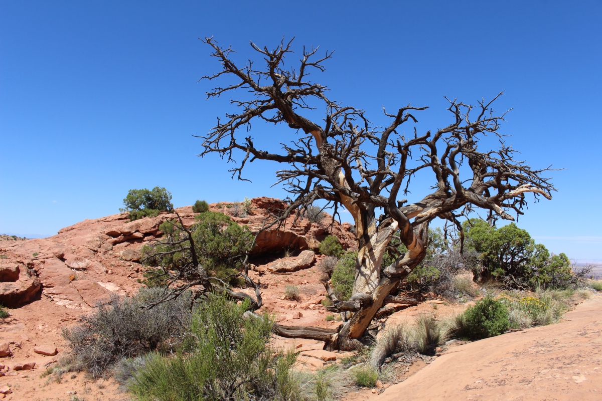
cliffrose along Devils Garden Trail
Landscape Arch is slightly longer than a football field.
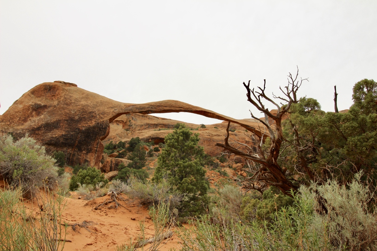
first glimpse of Landscape Arch
Around Landscape Arch
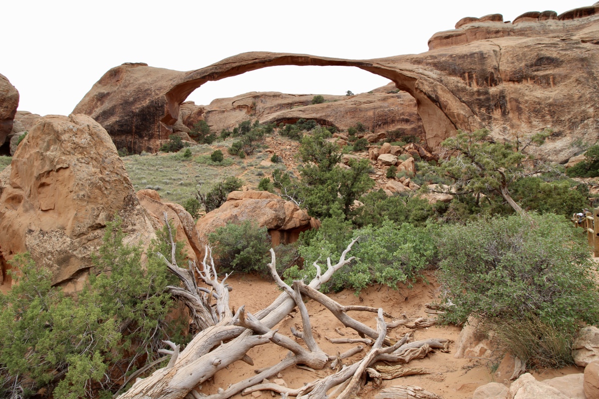
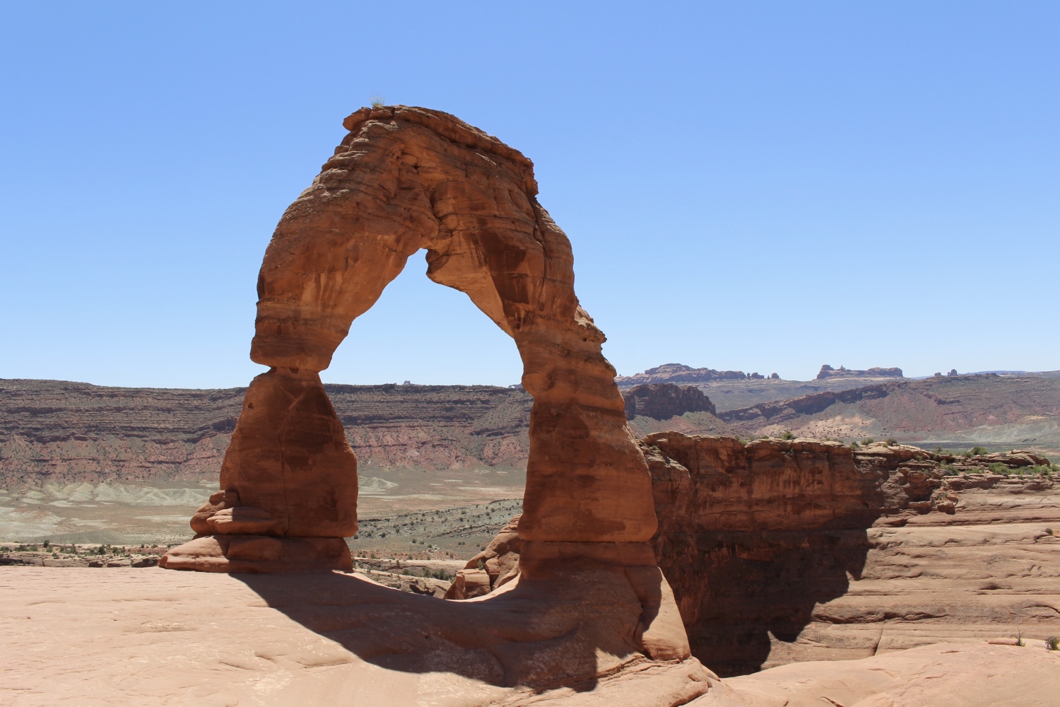
Landscape Arch
Devils Garden Trail
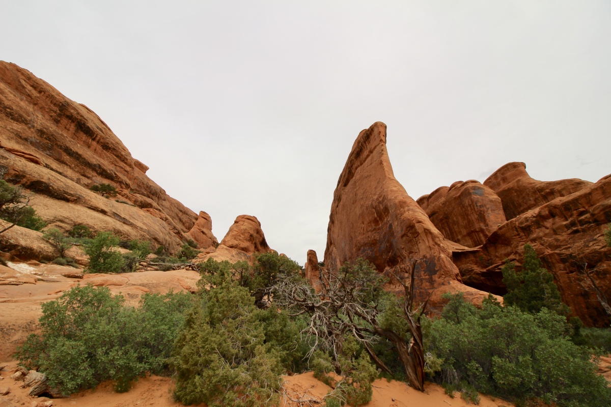
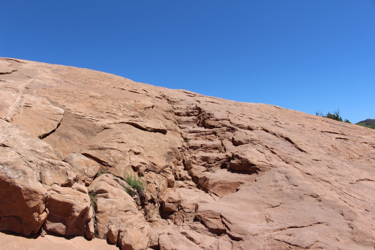
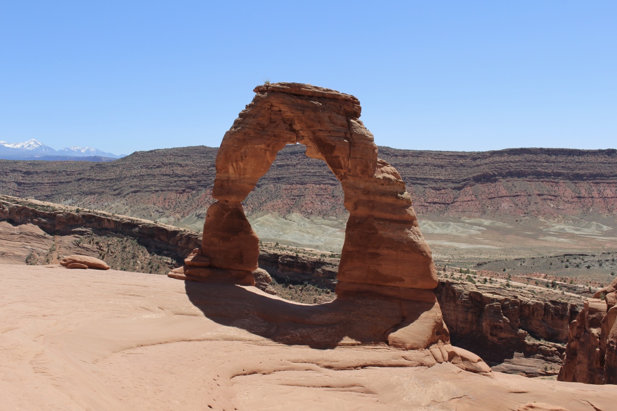
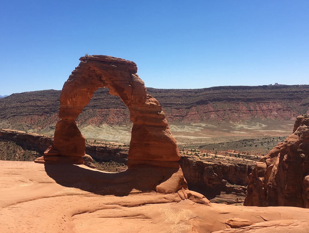
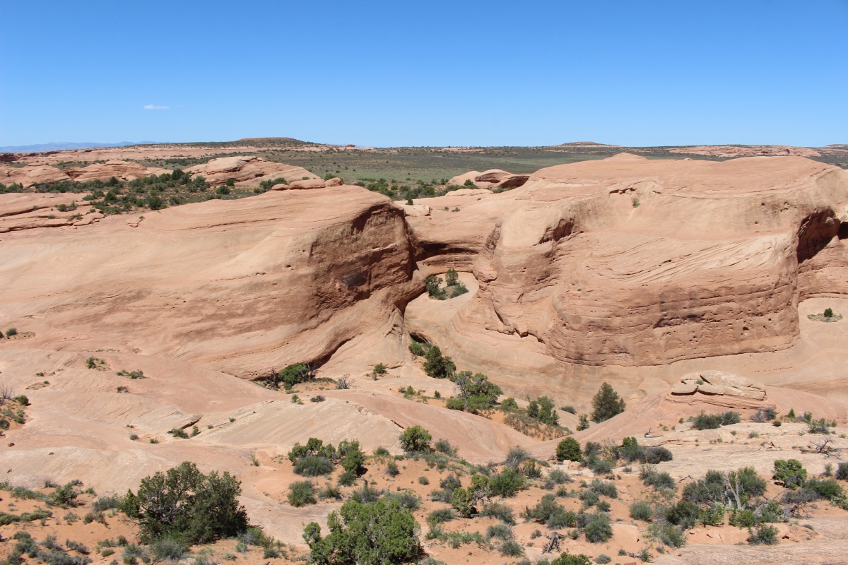
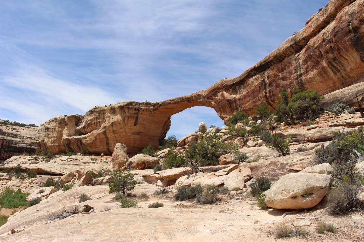
The path past Landscape Arch is more difficult, winding along the narrow tops of exposed sandstone fins, then up and over short, steep crevices where steps have been carved into the rock. This section is not recommended for hikers with a fear of heights.
We escaped the crowds at Landscape Arch with a plan to clamber our way up to Partition and Navajo Arch. The route looked scary — a steep climb up slickrock with slot-canyon drop-offs on either side — so I was hesitant to go up. While we stood looking at the climb, a woman from a canyon beneath us called up and asked if we’d seen her husband, and she went on to describe his T-shirt.
the slickrock way up to Partition Arch
The woman asked that, if we saw him, we inform him that she went up an alternate route, through this canyon. We stood debating for a while, and we finally decided to take the woman’s option up through the adjacent canyon. We climbed up only to realize that the path was blocked off with pieces of dead wood at the upper end – Closed. Oh well, we didn’t know, and it was easy enough to walk over the wood barriers! There was no way I was going to climb down that slickrock, so the sign wouldn’t deter us from coming back down that same route!
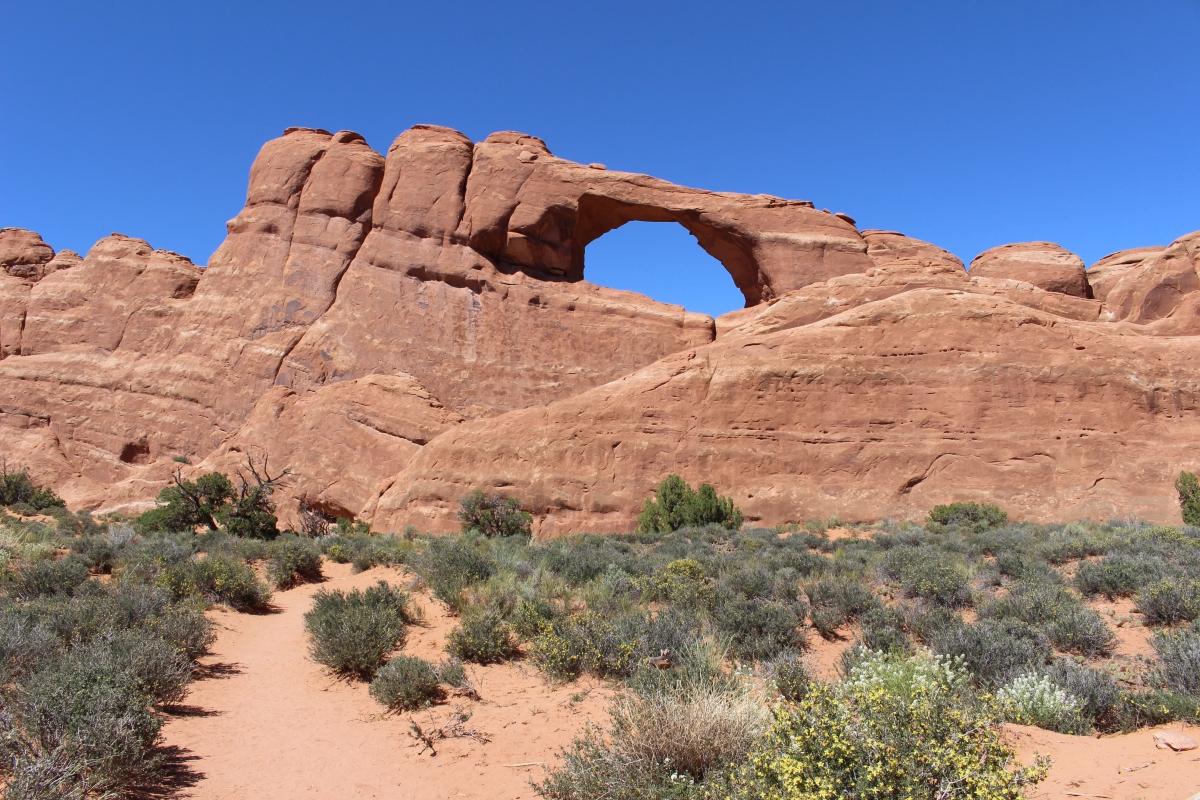
We continued on to Partition Arch.
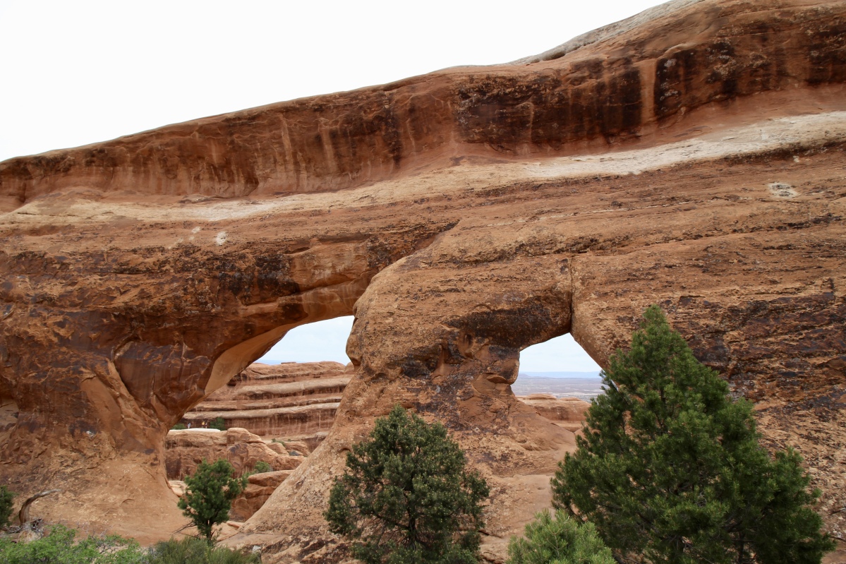
Partition Arch

standing inside Partition Arch looking out over the mesa
Partition Arch
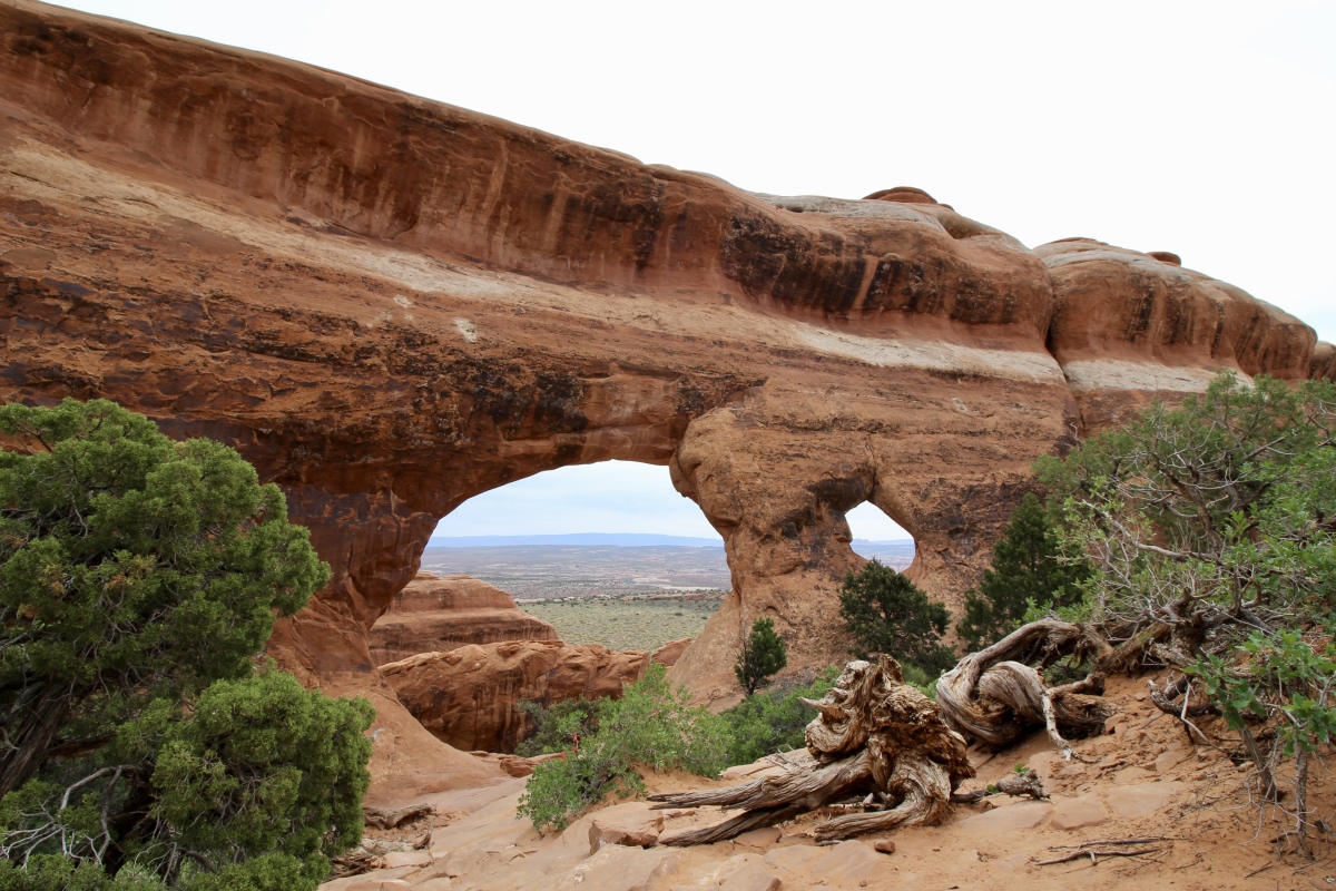
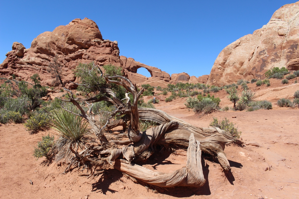
We then hiked to Navajo Arch, not quite as impressive.
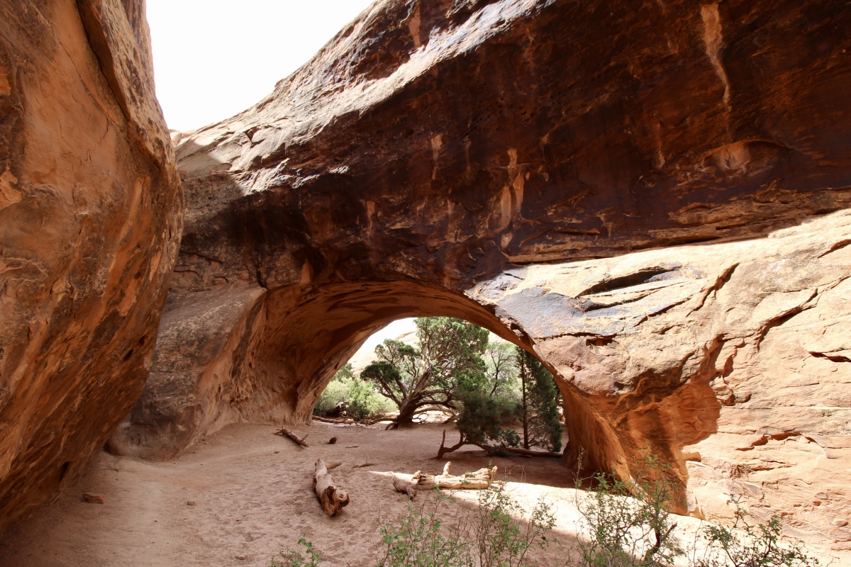
inside Navajo Arch

view of Navajo Arch from outside
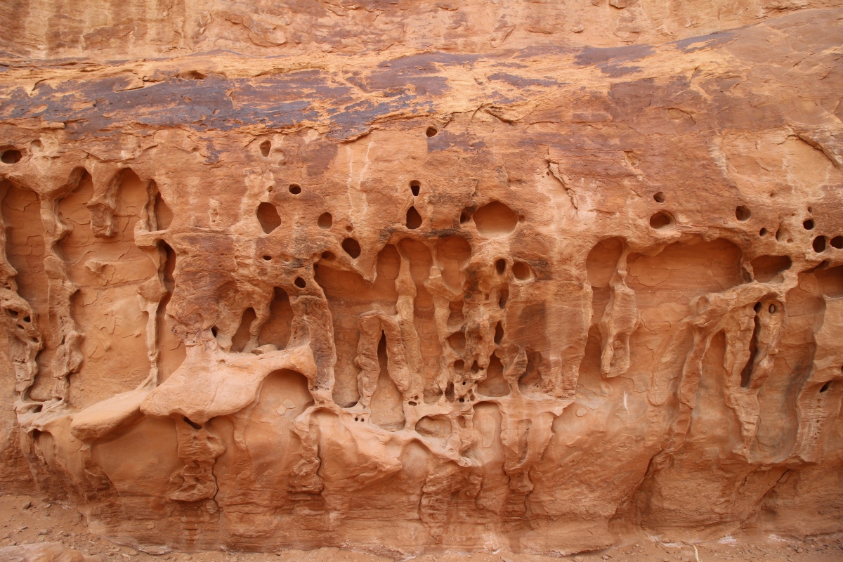
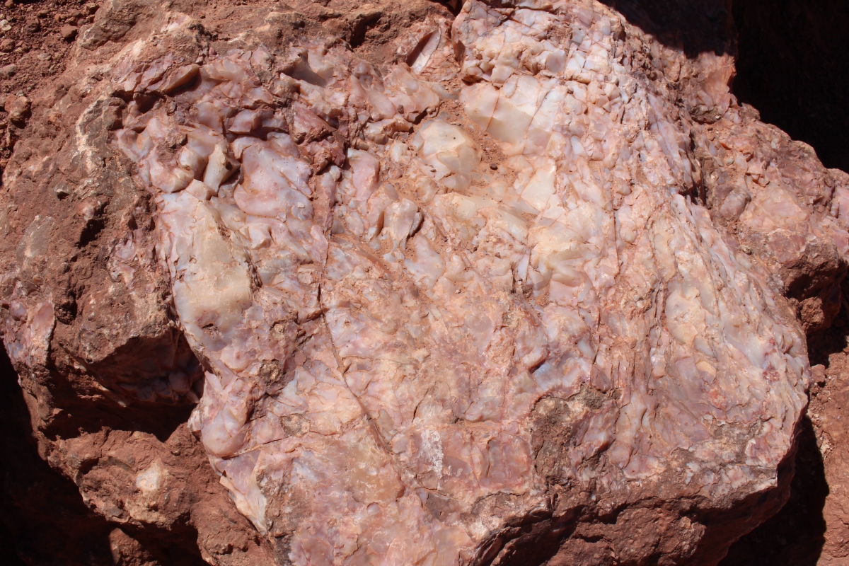
rock patterns near Navajo Arch
Finally, we worked out way back down and out, through our secret canyon, and past Landscape Arch once again.


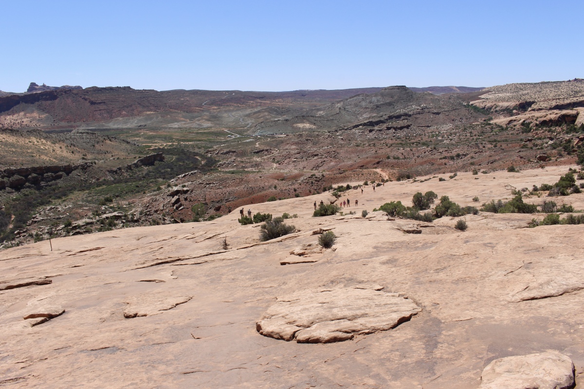
Adding Partition Arch and Navajo Arch to Landscape Arch made for a hike of 5.65 miles. It took us 2:52 hours at a pace of 30:32 minutes/mile. We were quite exhausted when it was said and done, but that didn’t stop us from making a few more detours before we returned to our car.
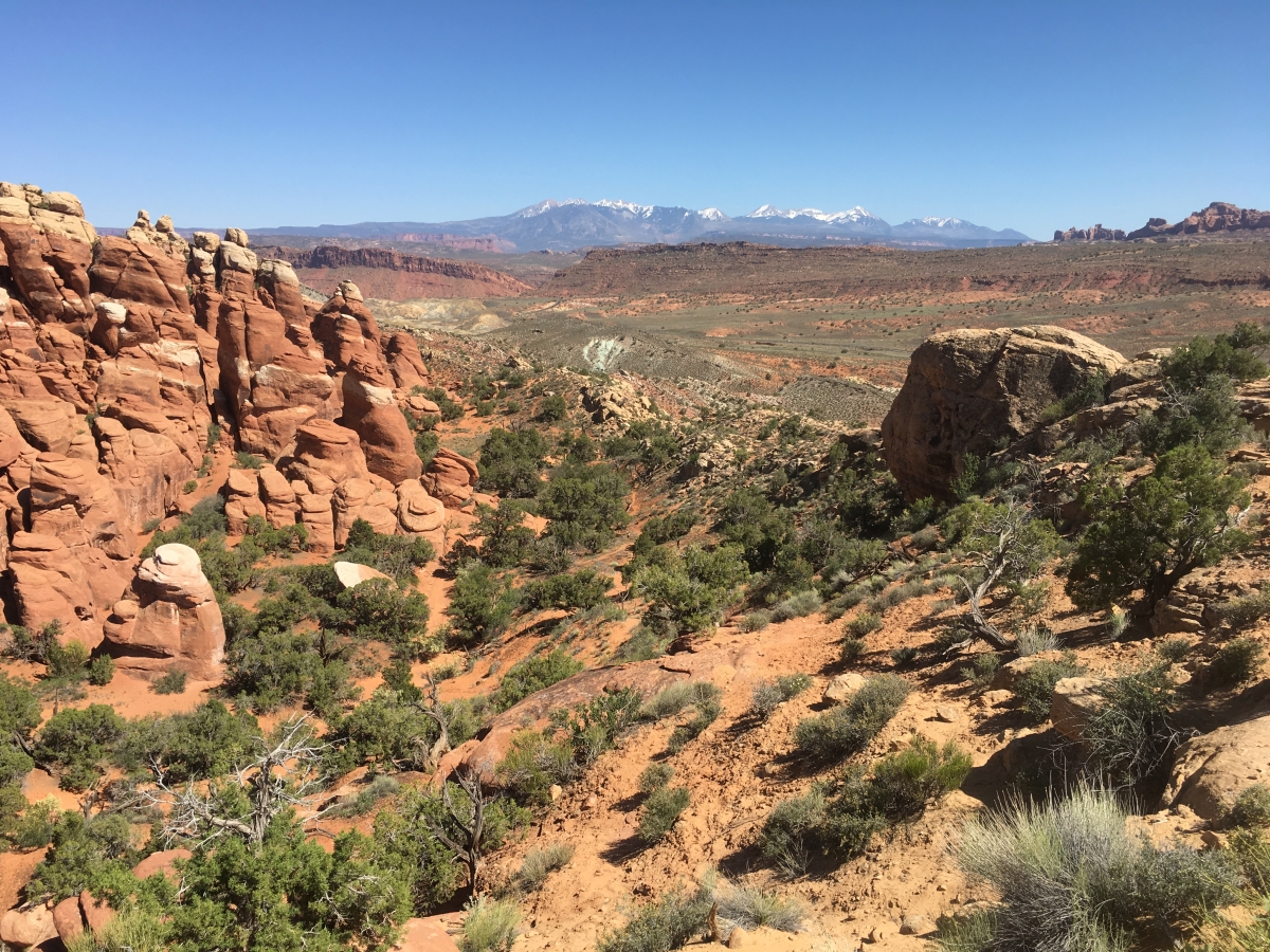
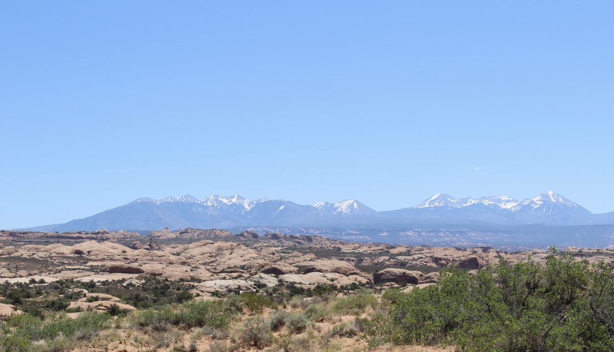
There is nothing like the dramatic landscape at Arches to make a person feel insignificant and overwhelmingly awed.
*Wednesday, May 9, 2018*
***********************
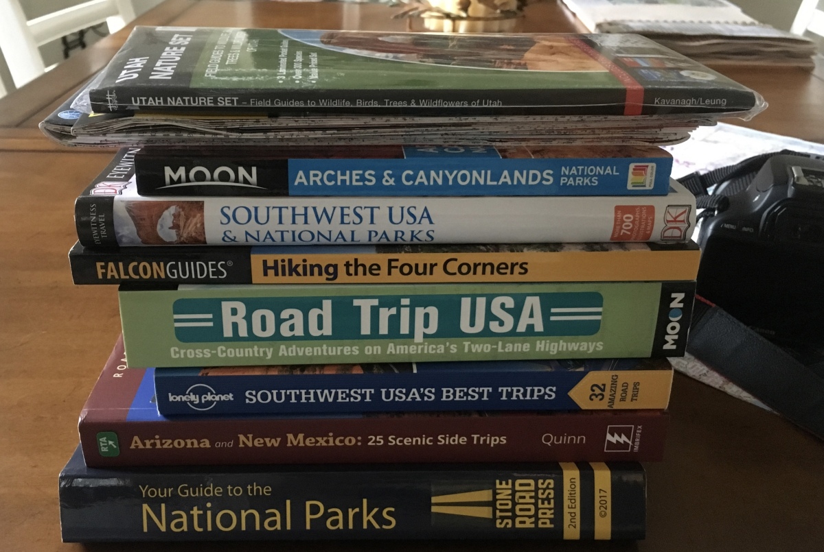
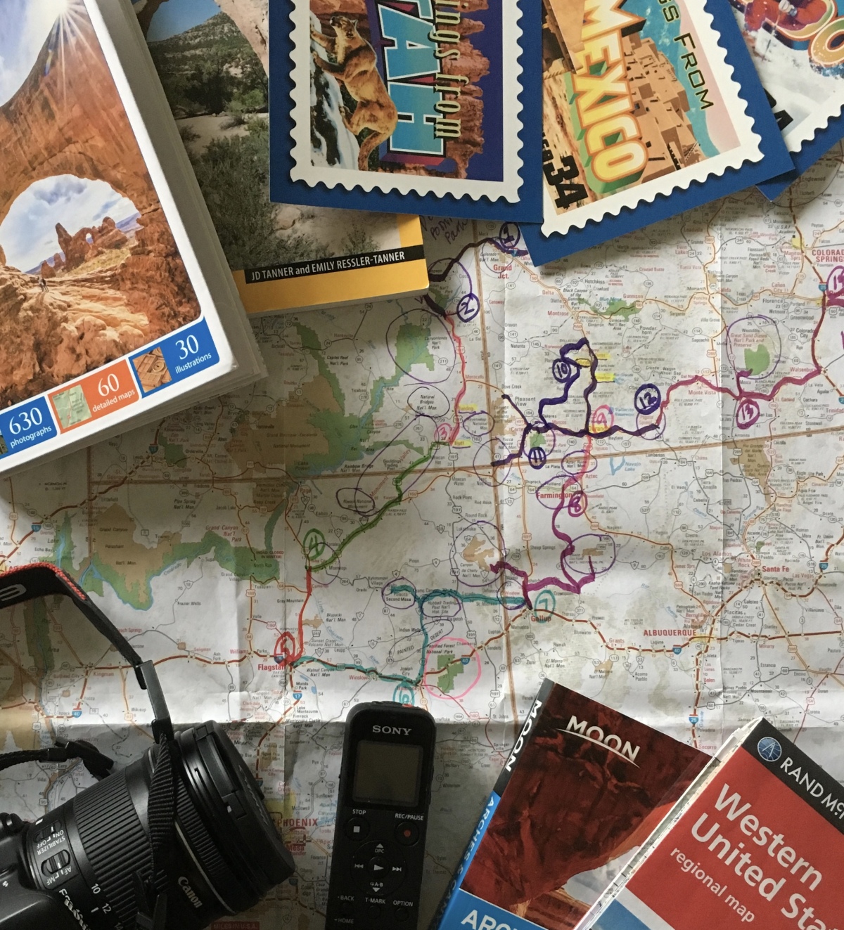
On Sundays, I plan to post various walks that I took on our Four Corners trip as well as hikes I take locally while training for the Camino de Santiago; I may also post on other unrelated subjects. I will use these posts to participate in Jo’s Monday Walks or any other challenges that catch my fancy.
This post is in response to Jo’s Monday Walk: Sunrise on the Salt Pans.


You must be logged in to post a comment.