Quite by accident, we discovered three National Monuments right around Flagstaff, Arizona: Wupatki, Sunset Crater Volcano, and Walnut Canyon. None of these places were on our itinerary, so they were a pleasant surprise. Each one was rather small as well, so we were able to do all three after we left Tuba City and Coal Mine Canyon. This would be our last day together; Mike had to fly out via Phoenix the next day, and the rest of the trip, I would be on my own.
We drove south down Rt. 89 through the Painted Desert, imbued with cinnamon, buff and chestnut, and dotted with feathery sagebrush. Big electrical grids and wires criss-crossed the fairly flat landscape and the abandoned Wauneta Trading Post hunkered down beside the road, faded and decrepit.
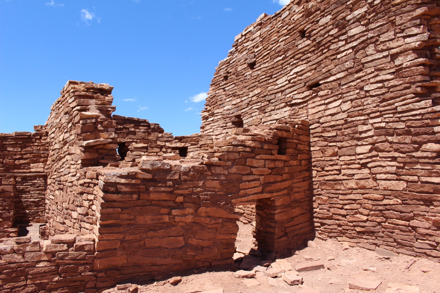
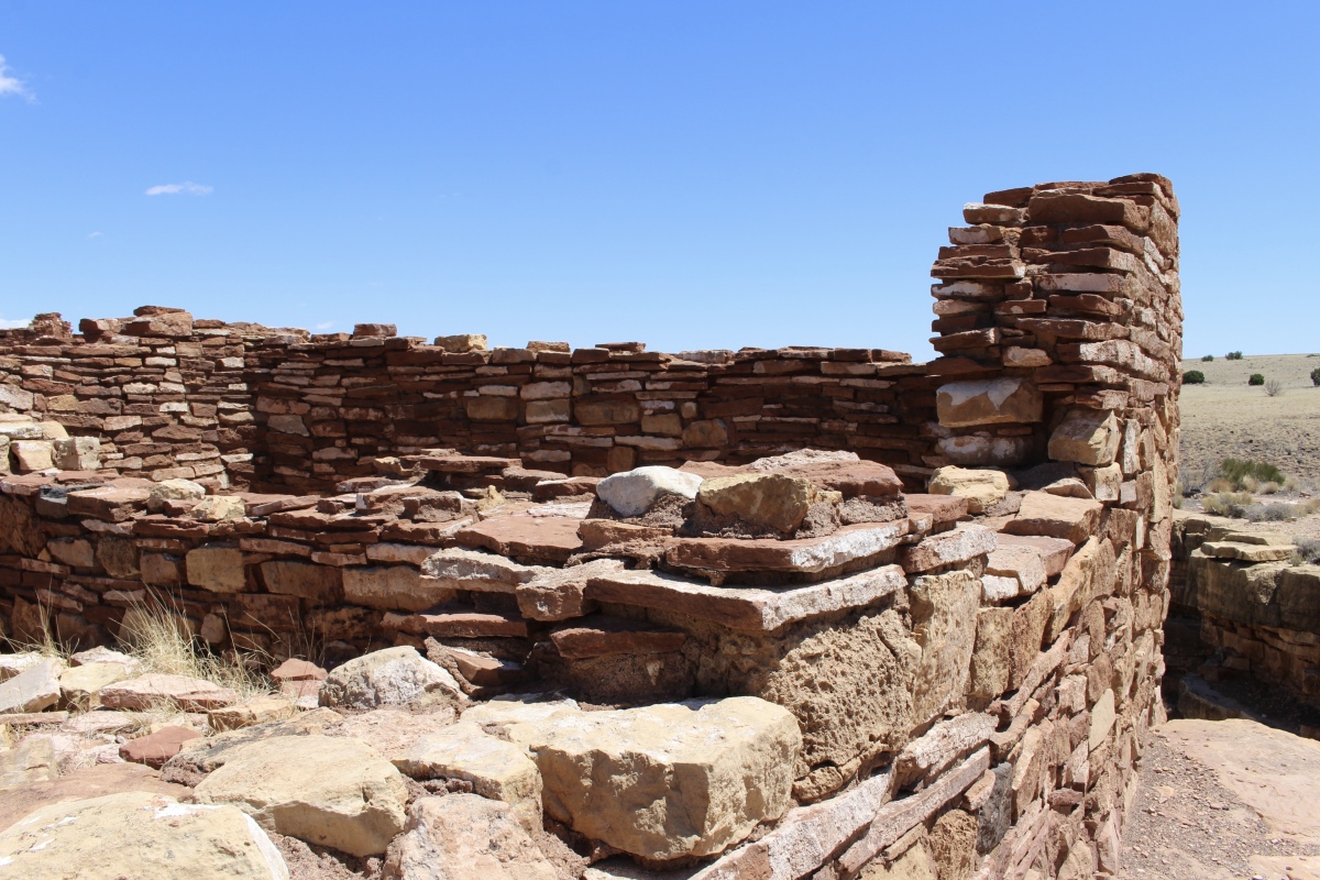
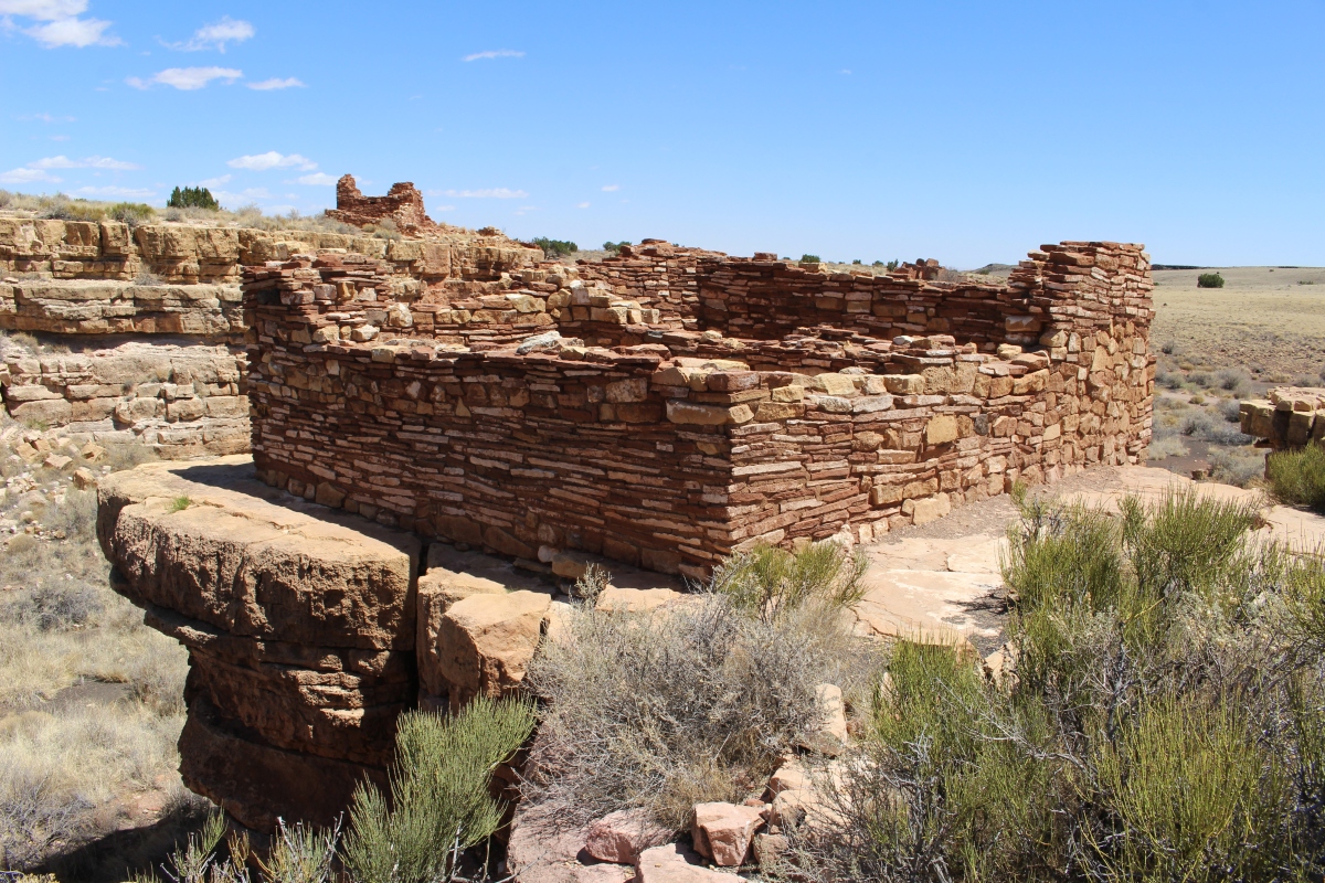
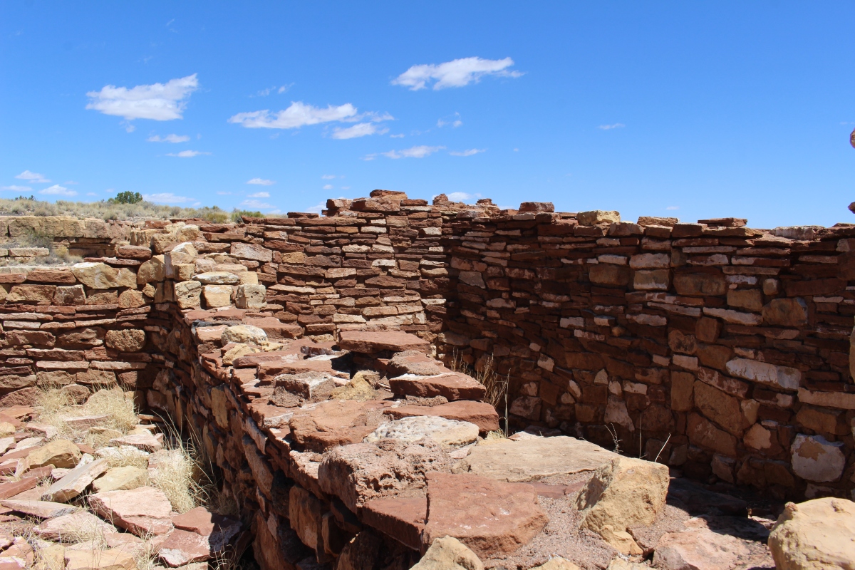
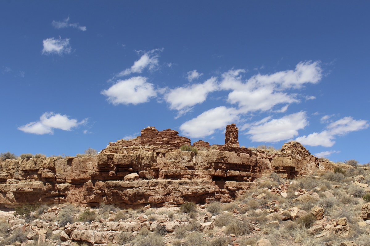
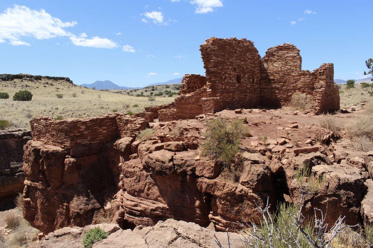
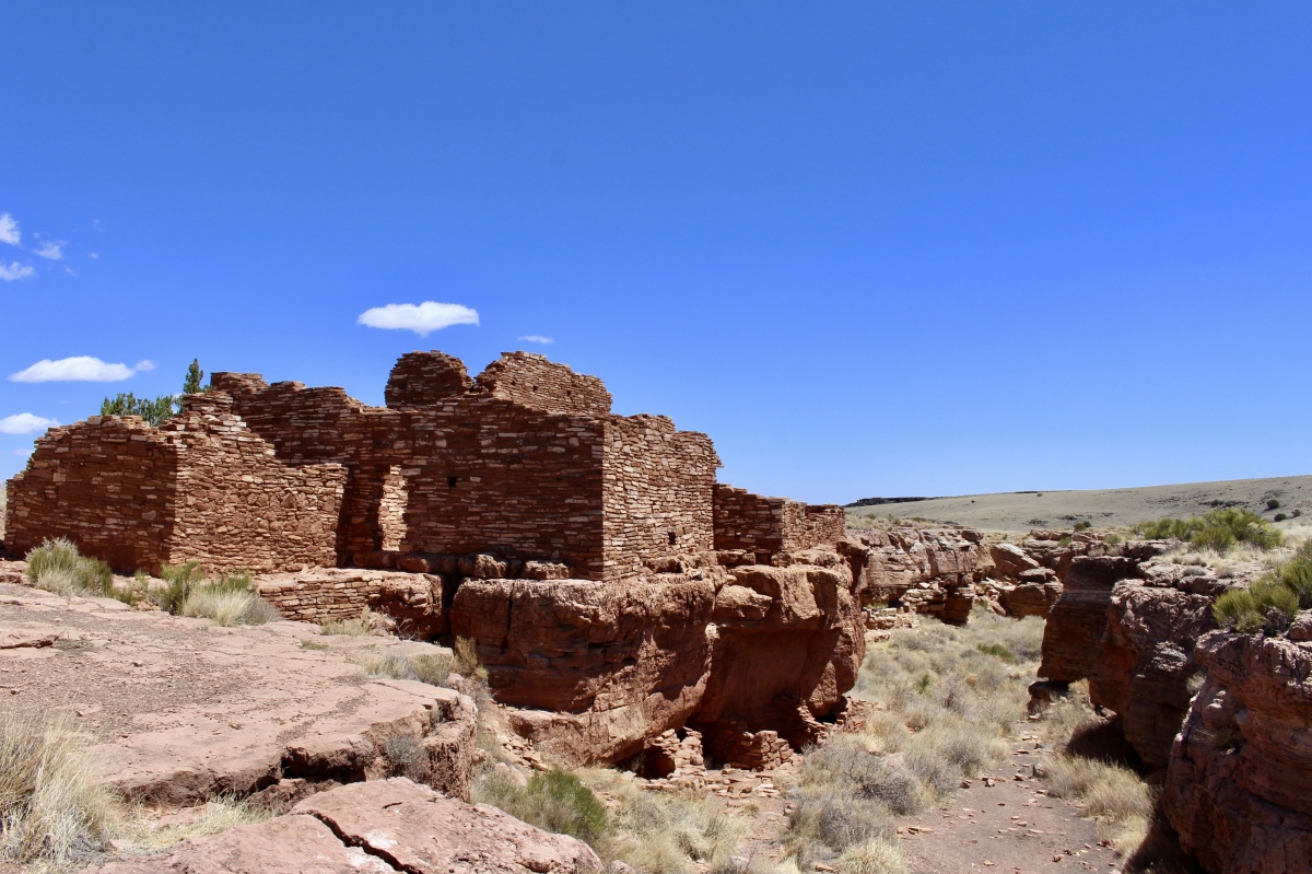
At Wupatki National Monument, we stopped first to do the Lomaki Trail. On foot, we approached the Box Canyon Ruins, typical of many pueblos found in this region. Early inhabitants constructed walls of nearby sandstone and limestone, and used local soils to cement stones together. The flat roofs were built of timbers laid side by side, covered with smaller branches and finally plastered over with mud.
Smoke was vented from rooms through a square hole in the ceiling which frequently served as the only access to the room. Doorways were small and windows almost non-existent. As the rooms were abandoned, the timbers were often scavenged and used in other pueblos or burned as firewood, a precious commodity in this environment.
Box Canyon Ruins
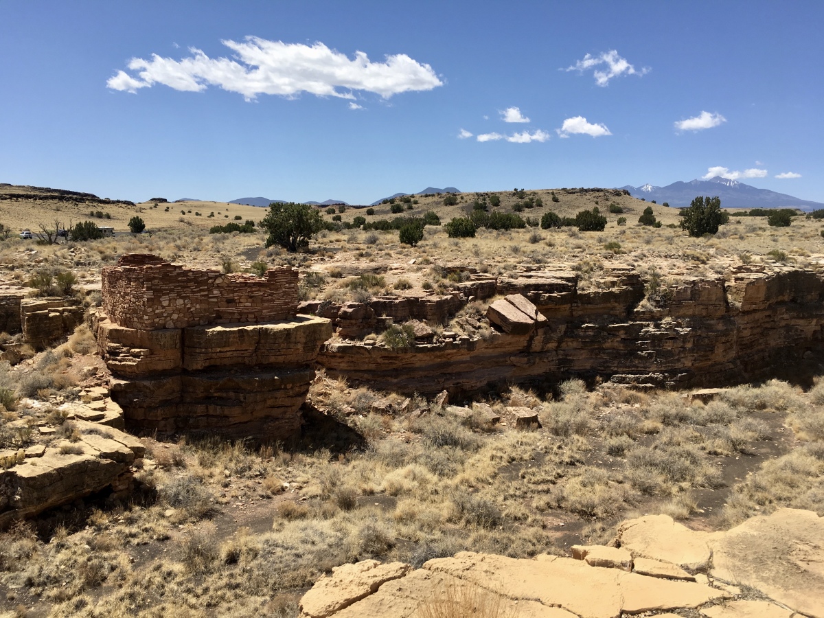
On Antelope Prairie, depending on the season, wind can knock a person flat. Lightning and storm clouds create a dance of shadow and light. Heat waves distort the horizon. In this landscape, a large community farmed during the 1100s, its focal point Citadel Pueblo just to the south. Later, Navajo families grazed sheep here, followed by cattle ranchers.
Eight hundred years ago, a savannah-like grassland covered much of this high desert with abundant grasses. The residents would have collected and burned much of the nearby fuel, necessitating long walks to adjacent areas to gather wood. Sparse annual rainfall forced the inhabitants to catch and save as much water as they could, or walk miles to other sources.
Since the use of the area by modern ranchers, the land has undergone other dramatic changes. Cattle grazing stripped much of the native vegetation away, allowing other plants, such as rabbitbrush, saltbush and snakeweed to dominate the vegetation. Although Wupatki National Monument was established in 1924, grazing continued until 1989, when a fence was built around the monument boundary.
Antelope Prairie
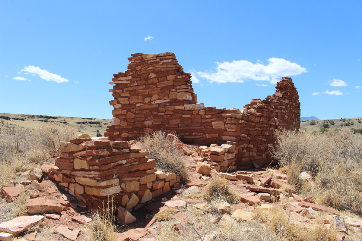
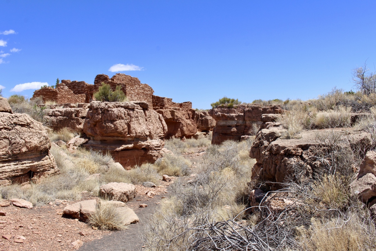
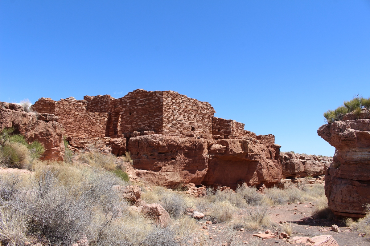
The ruins appear today just as they did when discovered in the late 1800s. The National Park Service has stabilized the walls to help preserve them. None are reconstructed. These 800-year-old walls are fragile and easily disturbed.
Box Canyon Ruins
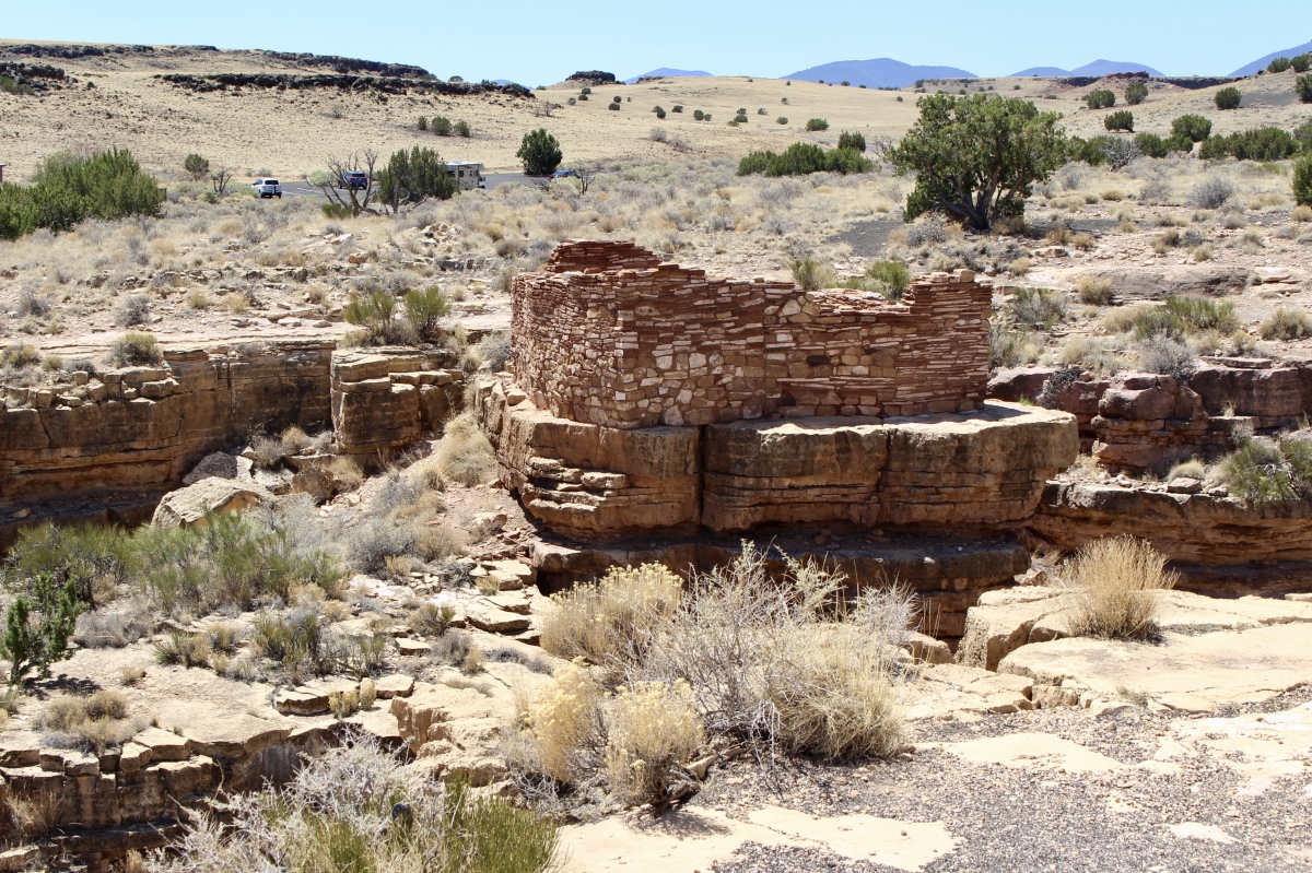
Volcanic activity to the south, from Sunset Crater Volcano, produced giant fissures or earthcracks throughout the Wupatki area in the Kaibab Limestone. The Sinagua and Anasazi Indians who inhabited these ancient pueblos probably found the earthcracks to be the most productive farming sites. There is no evidence of streams close by which could provide water. All farming was dependent on rainfall.
Corn, squash and other crops were planted along the canyon slopes and wash bottoms. Small check dams along the drainage courses provided level areas for farming. These flat areas retained more moisture and the accumulated silt enriched the soil. The bottom of Box Canyon, below the ruins, may have been an ideal area for farming.
Box Canyon Ruins
Juniper, amaranth, yucca, Indian rice grass and other native plants were used as food, along with antelope, rabbit, squirrels, packrats and reptiles, to name a few.
Box Canyon Ruins
Box Canyon Ruins
Box Canyon Ruins
Box Canyon Ruins
Box Canyon Ruins
Box Canyon Ruins

Box Canyon Ruins
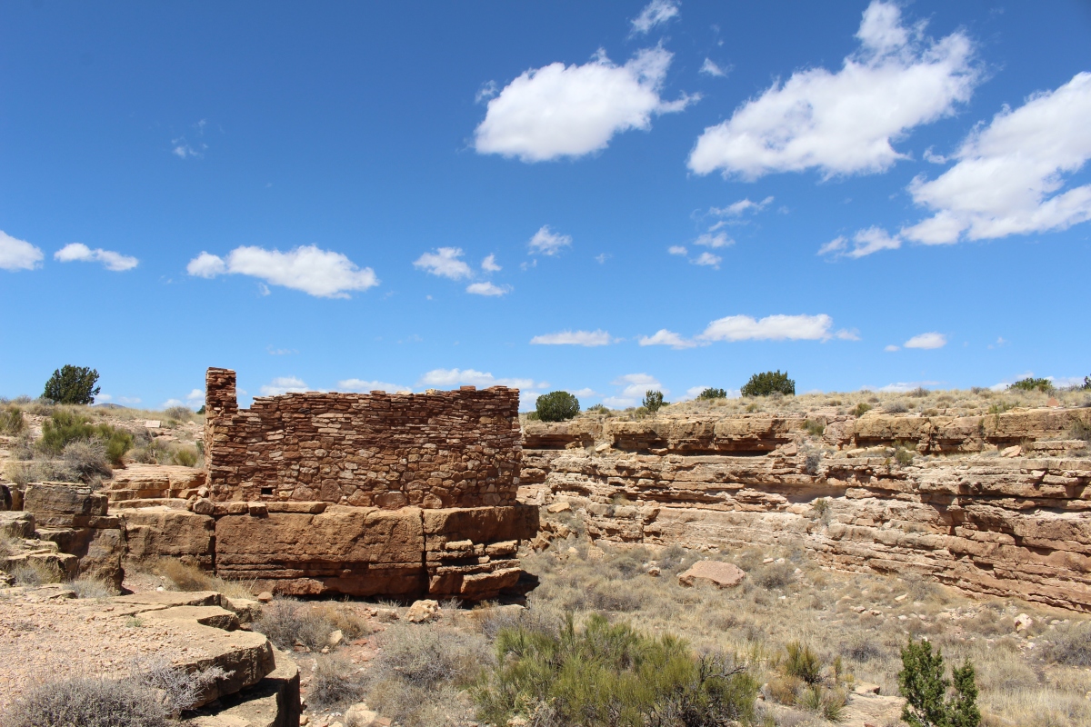
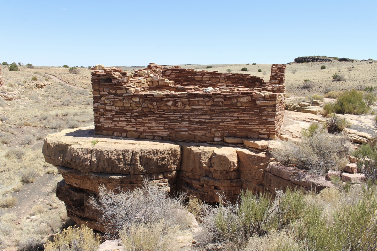
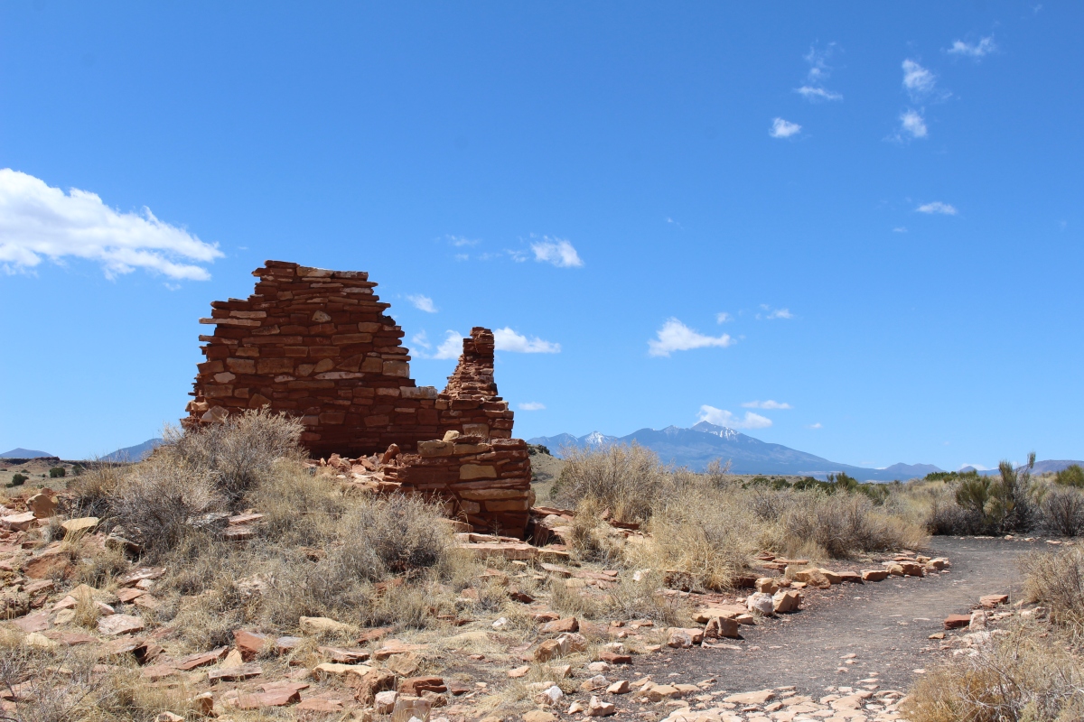
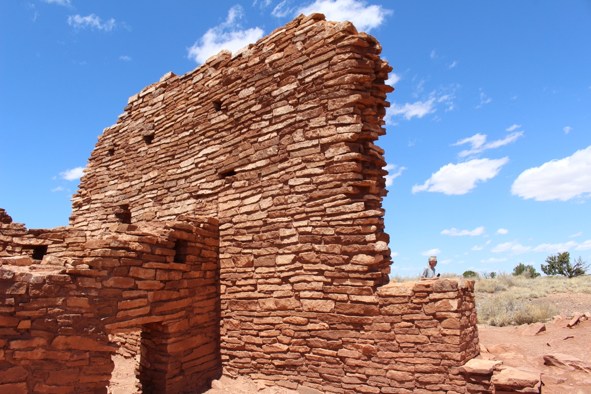
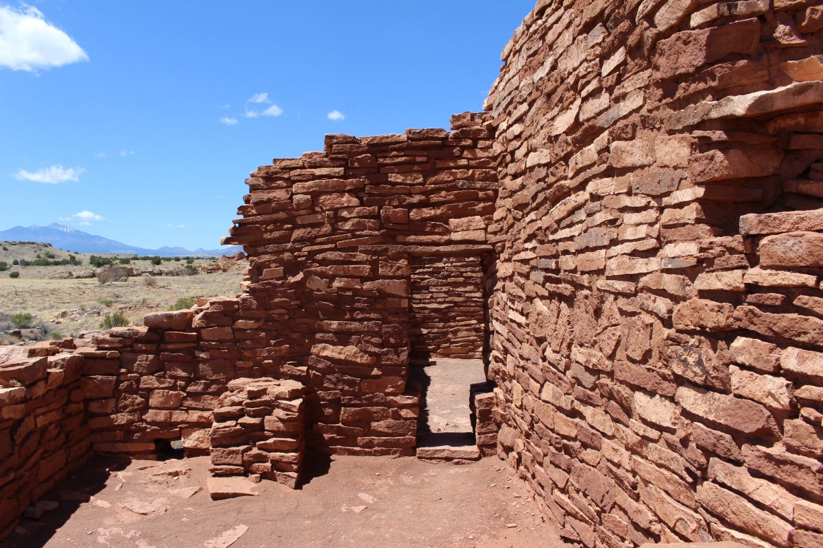
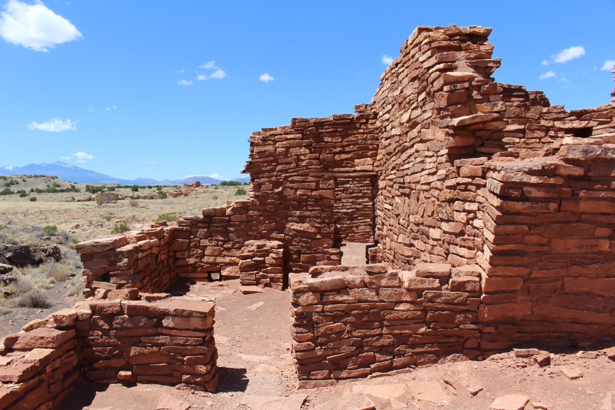
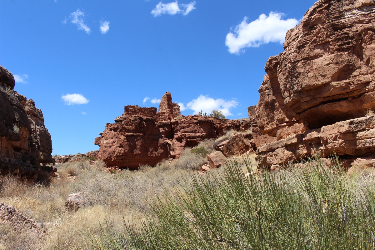
The Lomaki Ruin sits at the far end of the path. Lomaki means The Beautiful House.
At Lomaki Ruin, an open area in the pueblo near the rim of the earthcrack is known as the plaza. In pueblos, the plaza was the center of daily activities including grinding corn, making pottery, working obsidian into arrowheads, processing other plants for food, and cooking. It would have also been used for meetings, conducting trade, and as a controlled play area for children. During the warmer months, the plaza was used extensively from dawn to dusk. Rooms inside the pueblo were used only for sleeping and some cooking.

Lomaki Ruin

Lomaki Ruin
To the east of this area, Sunset Crater Volcano would have been belching black smoke and cinders when the Sinagua and Anasazi lived here. The thick layer of cinders over the sandy soil helped hold moisture, which was beneficial to the growing of crops. Eventually, even Sunset Crate Volcano grew quiet, and the winds blew the cinders away and dried out the soil.
Why the Lomaki residents departed is not certain. There are indications of disease affecting the population, or a lengthy drought creating a landscape barren of vegetation, animals and firewood. Or invading host tribes may have contributed to the abandonment of this area by the mid-1200s.
Lomaki Ruin
Lomaki Ruin
Lomaki Ruin
Lomaki Ruin
Lomaki Ruin
At the bottom of the earthcrack is a prehistoric check dam that captured the frequent run-off. The pueblo’s inhabitants placed pottery jars at the base of overhangs to catch rainwater. When the rain didn’t come, they had to walk 10 miles to the Little Colorado River drainage to fill their pottery jars.
Lomaki Ruin
Lomaki Ruin
Lomaki Ruin
By 1180, thousands of people were farming on the Wupatki landscape. By 1250, when the volcano had quieted, pueblos stood empty. The people of Wupatki had moved on. Many people crossed the high deserts of the Colorado Plateau over time, but few stayed long. Those who did adapted to the region’s challenging environment. Their descendants still live nearby, including Hopi, Zuni and Navajo people.
Lomaki Ruin
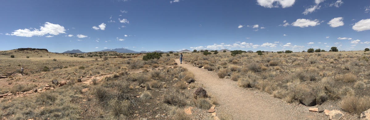
This walk was only 1.11 miles.We continued on to the Visitor’s Center and Wupatki Pueblo, where a sticker and stamp were awaiting me. 🙂
*Sunday, May 13, 2018*
***********************
On Sundays, I plan to post various walks that I took on our Four Corners trip as well as hikes I take locally while training for the Camino de Santiago; I may also post on other unrelated subjects. I will use these posts to participate in Jo’s Monday Walks or any other challenges that catch my fancy.
This post is in response to Jo’s Monday Walk.

You must be logged in to post a comment.