Flores, Petén in Guatemala
Thursday, March 12, 2026: I learned that days seem to last forever when you get up at 3:30 a.m. for a 6:00 flight, arrive at your destination before 7:00 a.m., and can’t check into your hotel until 3:00 p.m. I also learned that you can’t mess with Avianca when it comes to the weight of your carry-on. They stick strictly to a 10kg weight limit.
I learned that a heavy breakfast after an early morning, followed by a walk in the sun in a tropical environment, makes me sleepy and irritable.

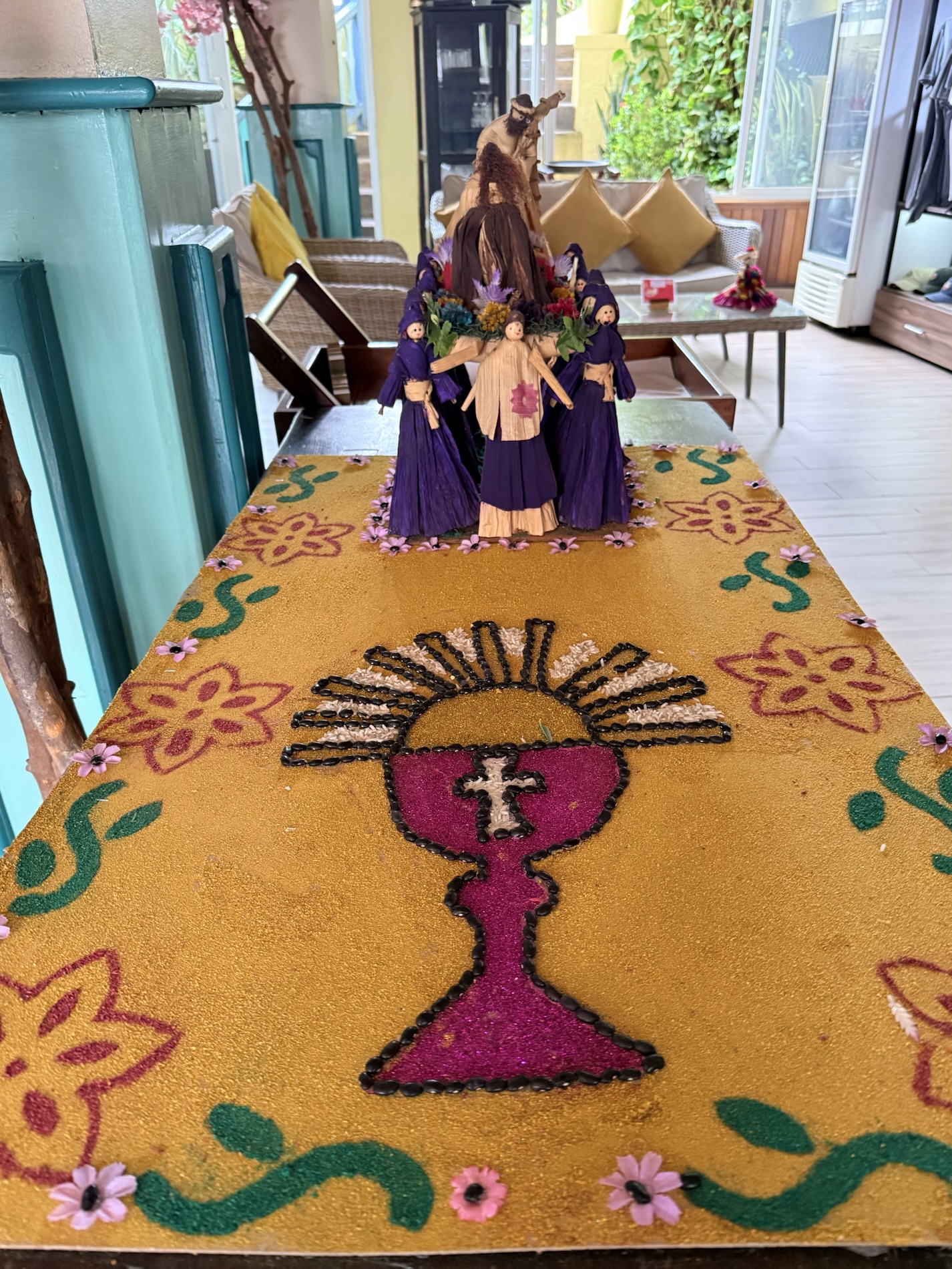
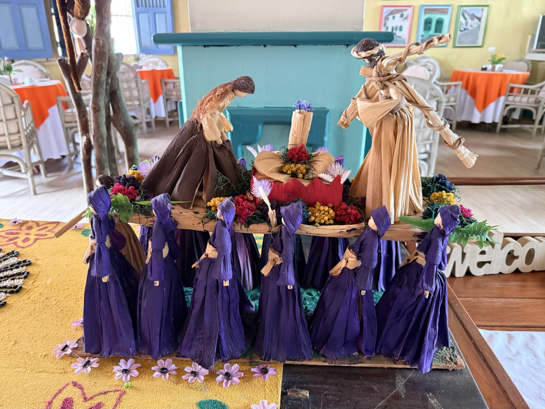
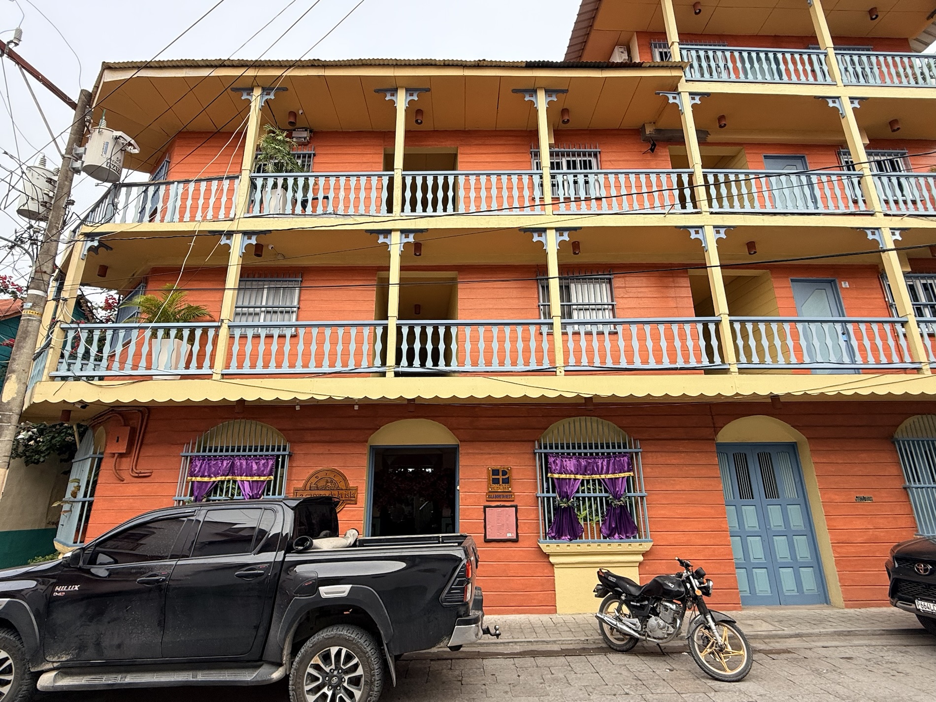
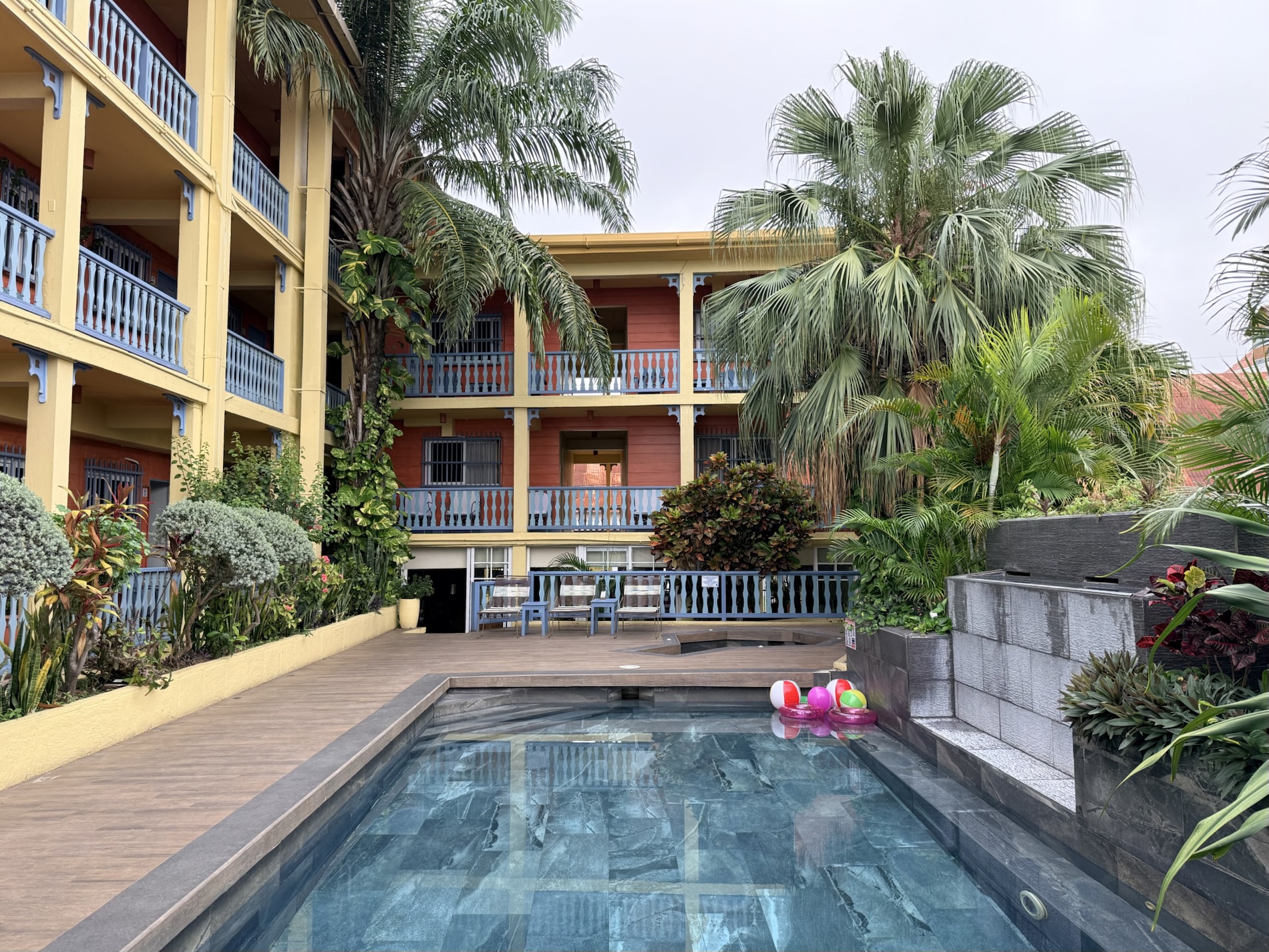
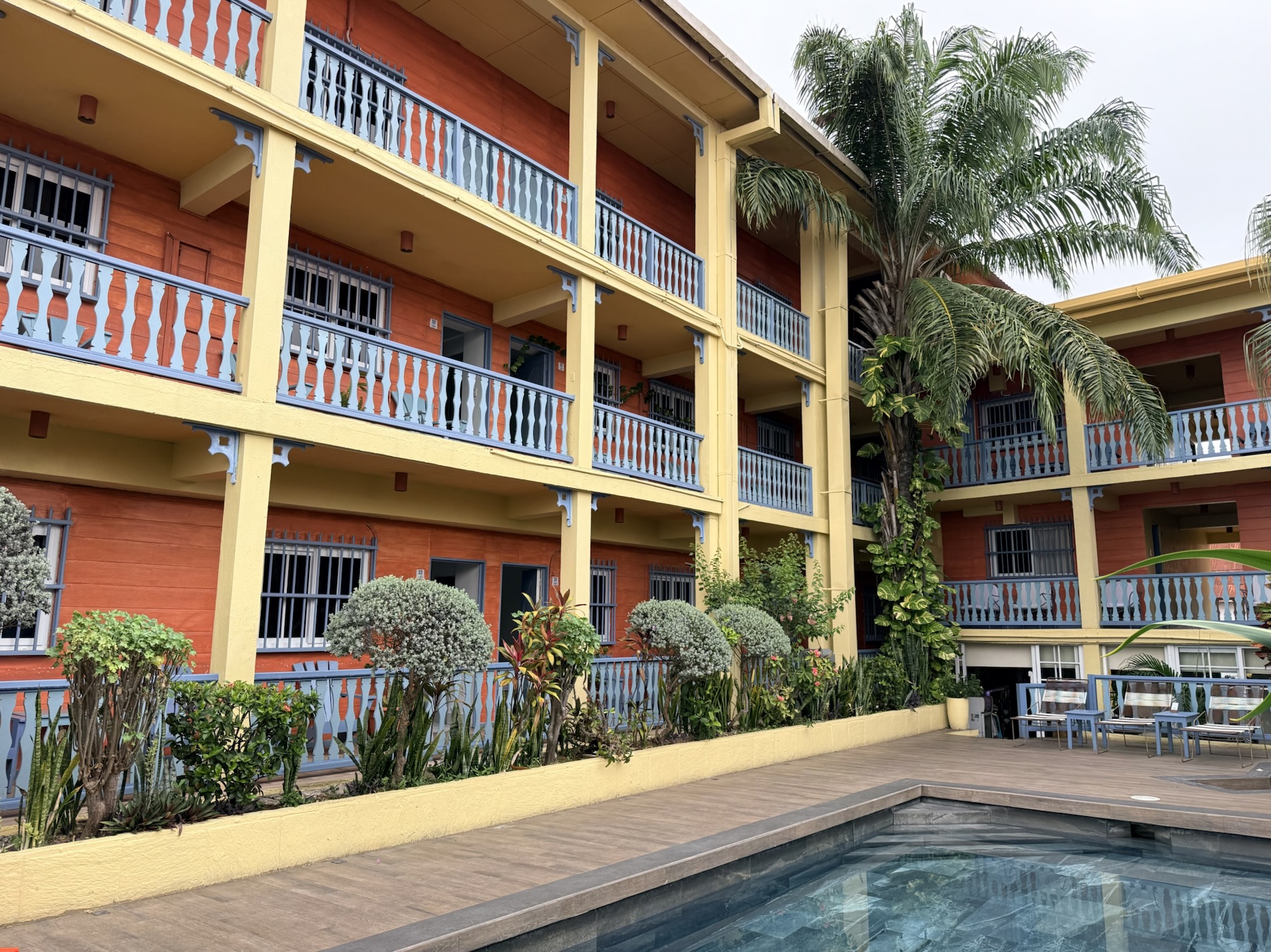
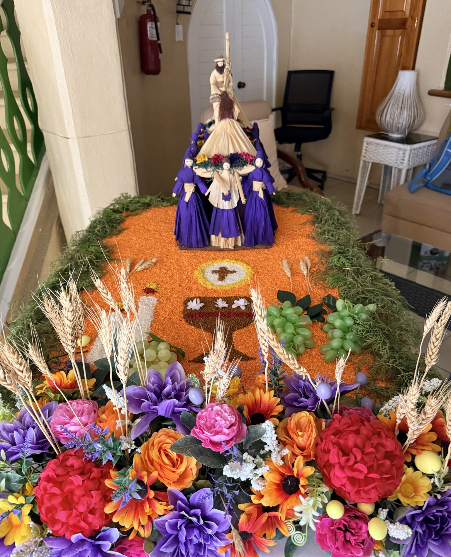
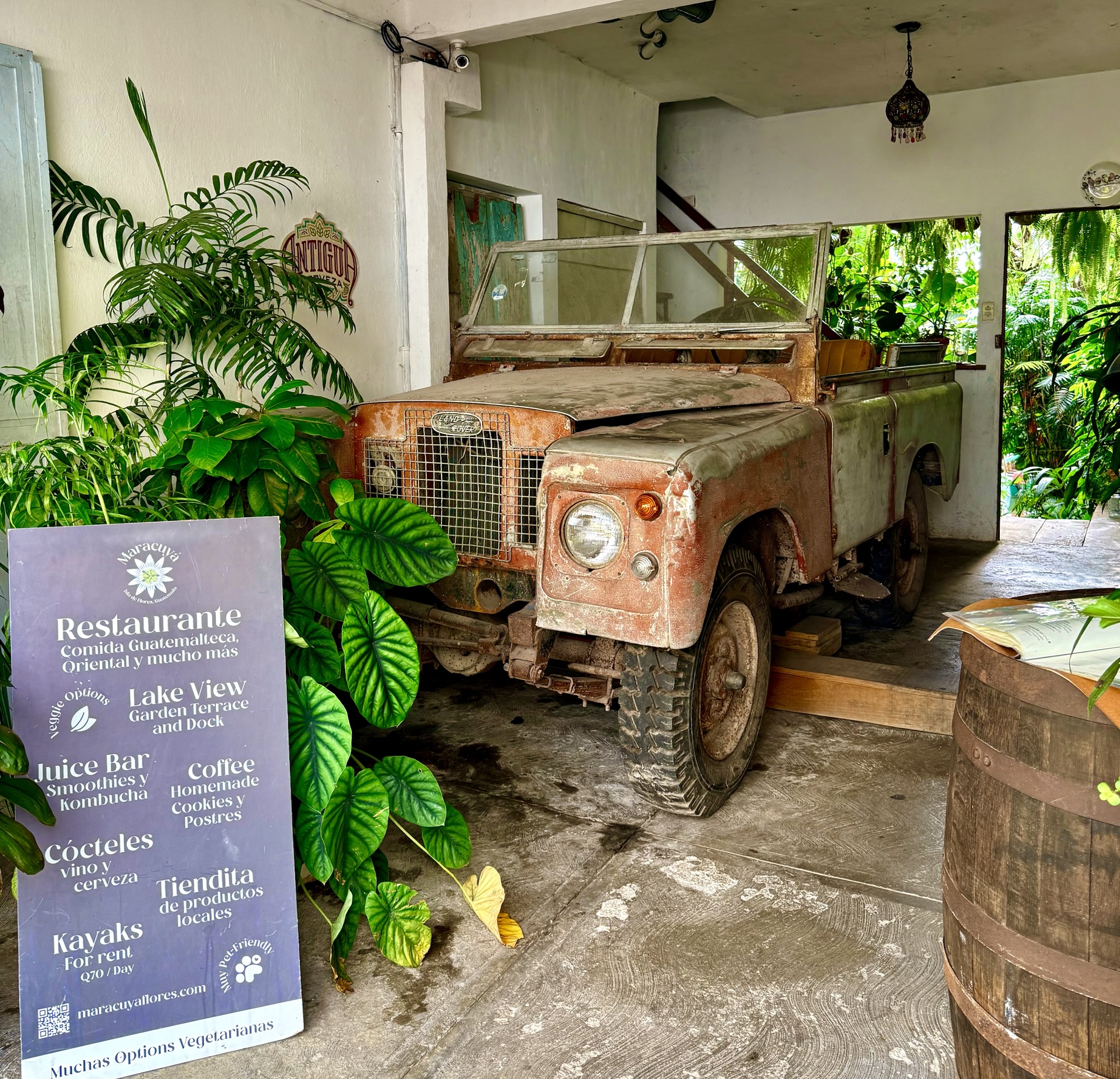
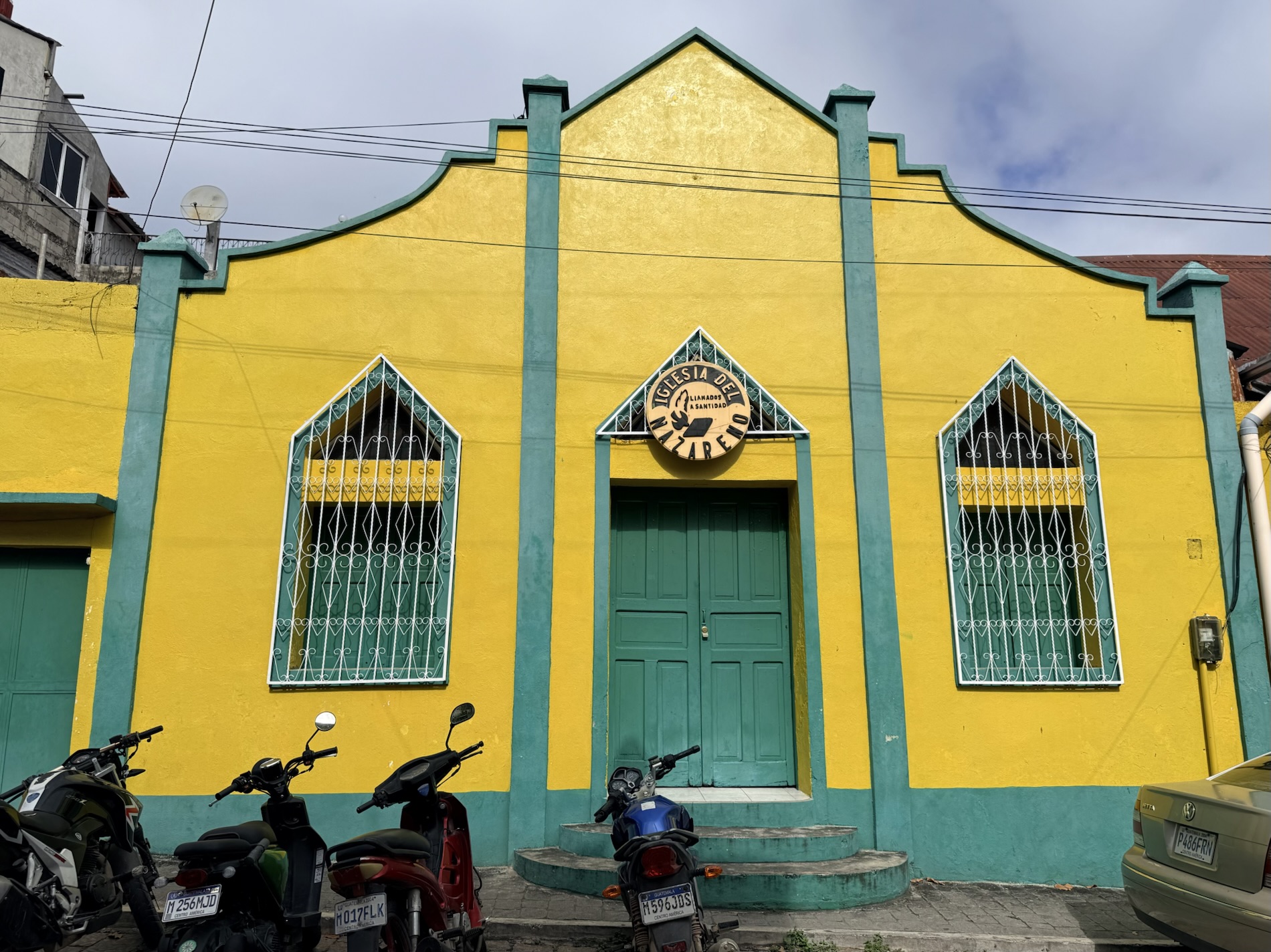
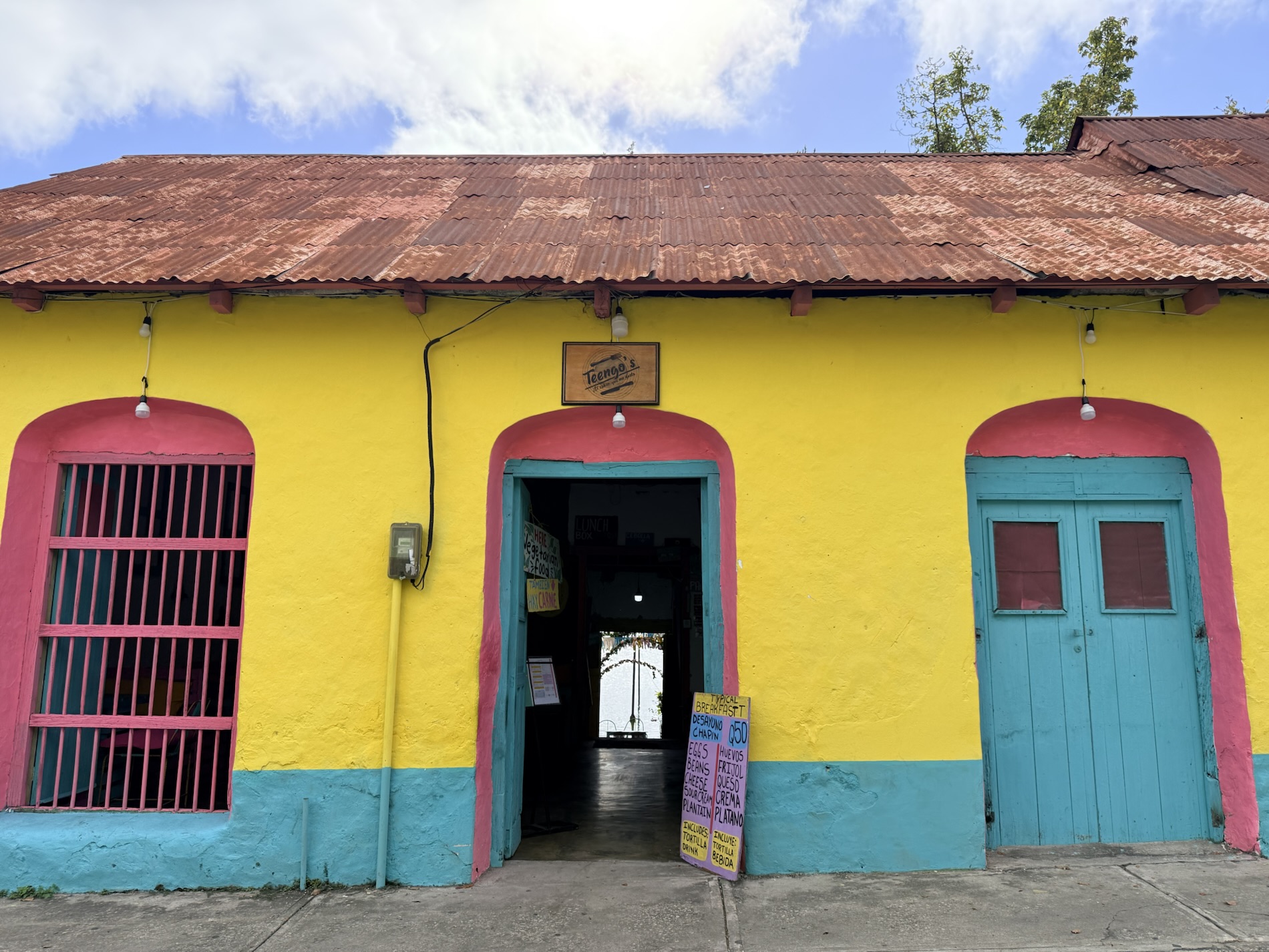
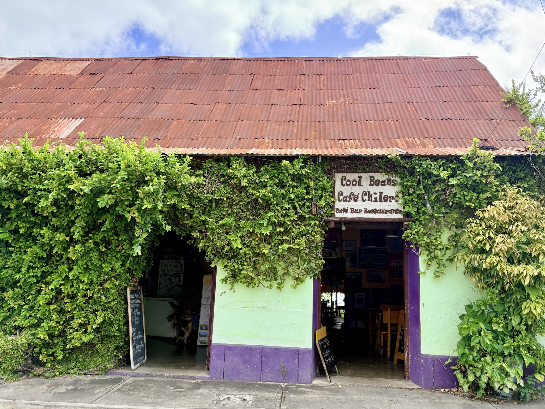
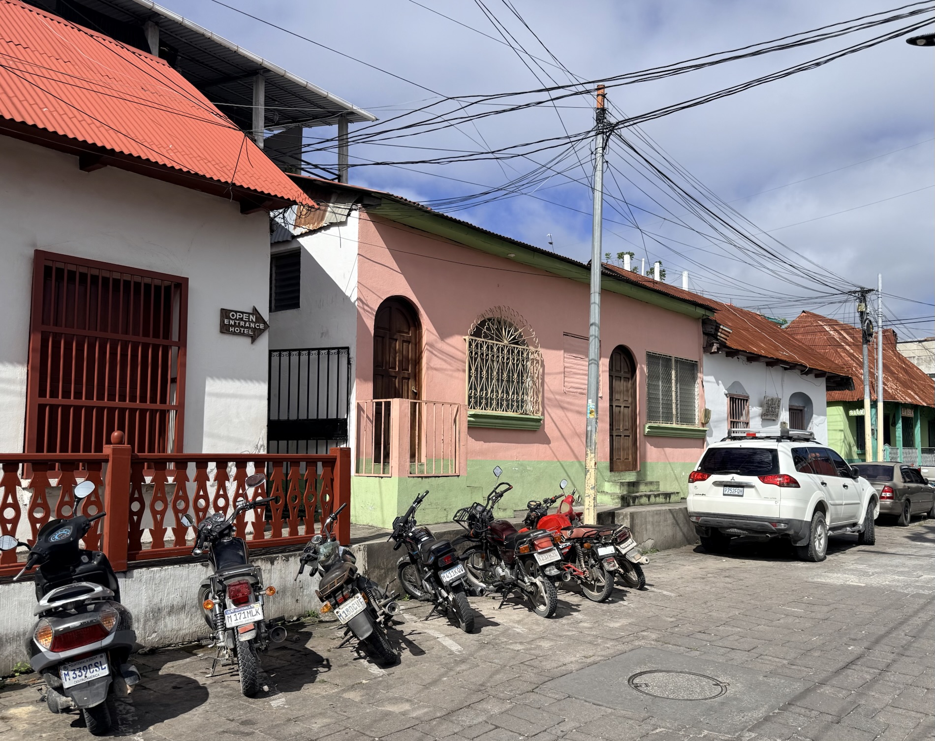
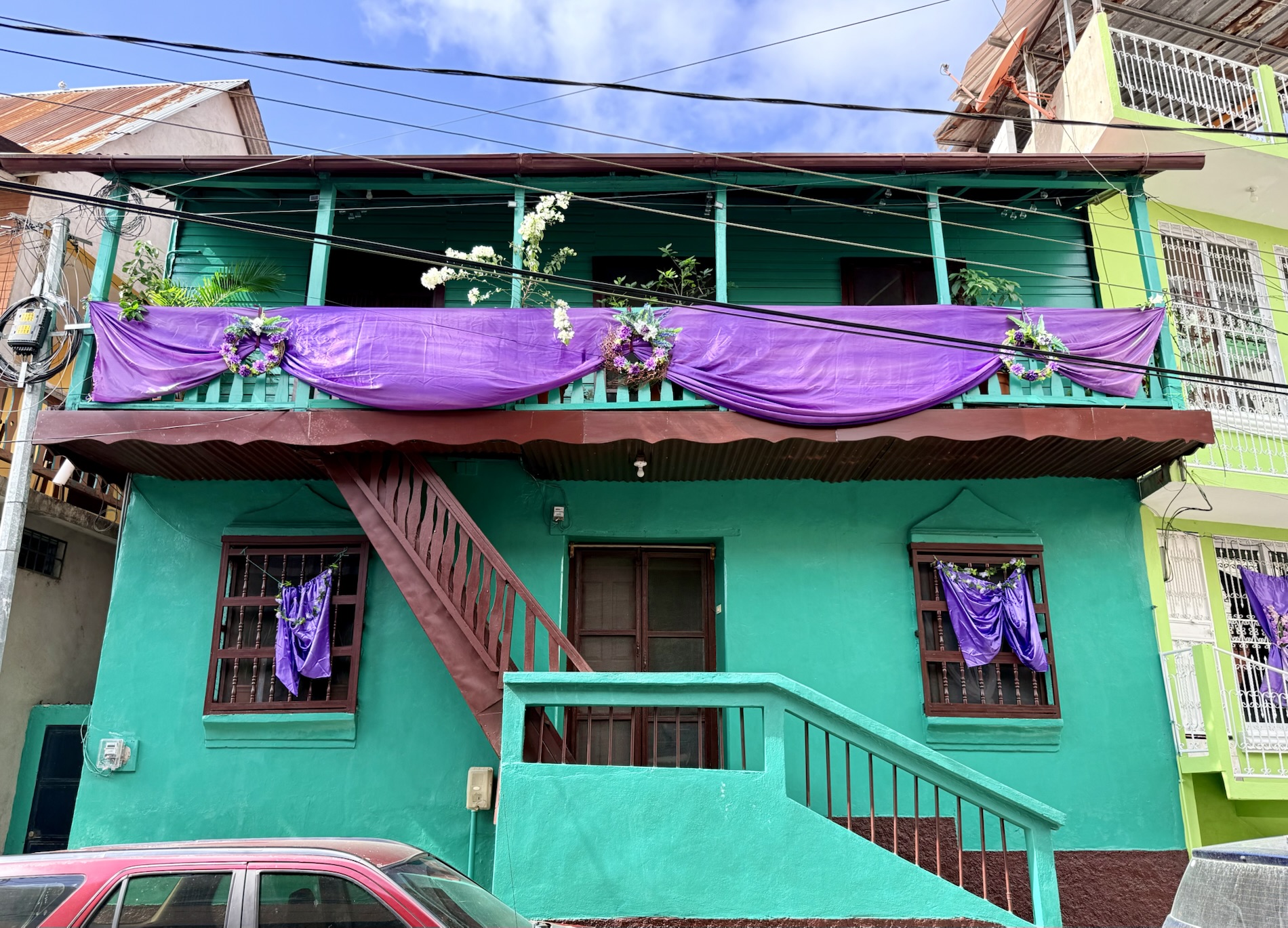
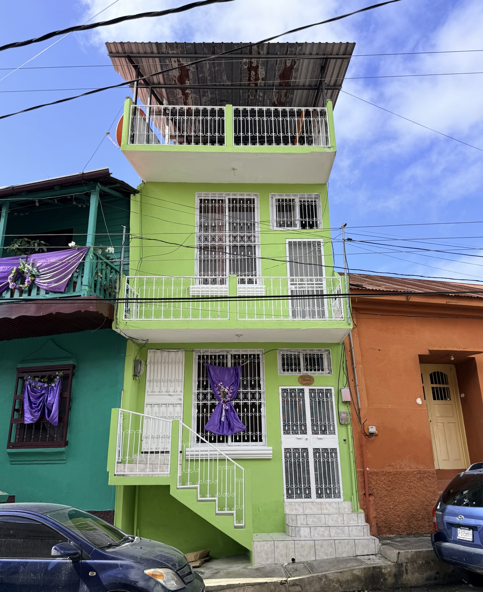
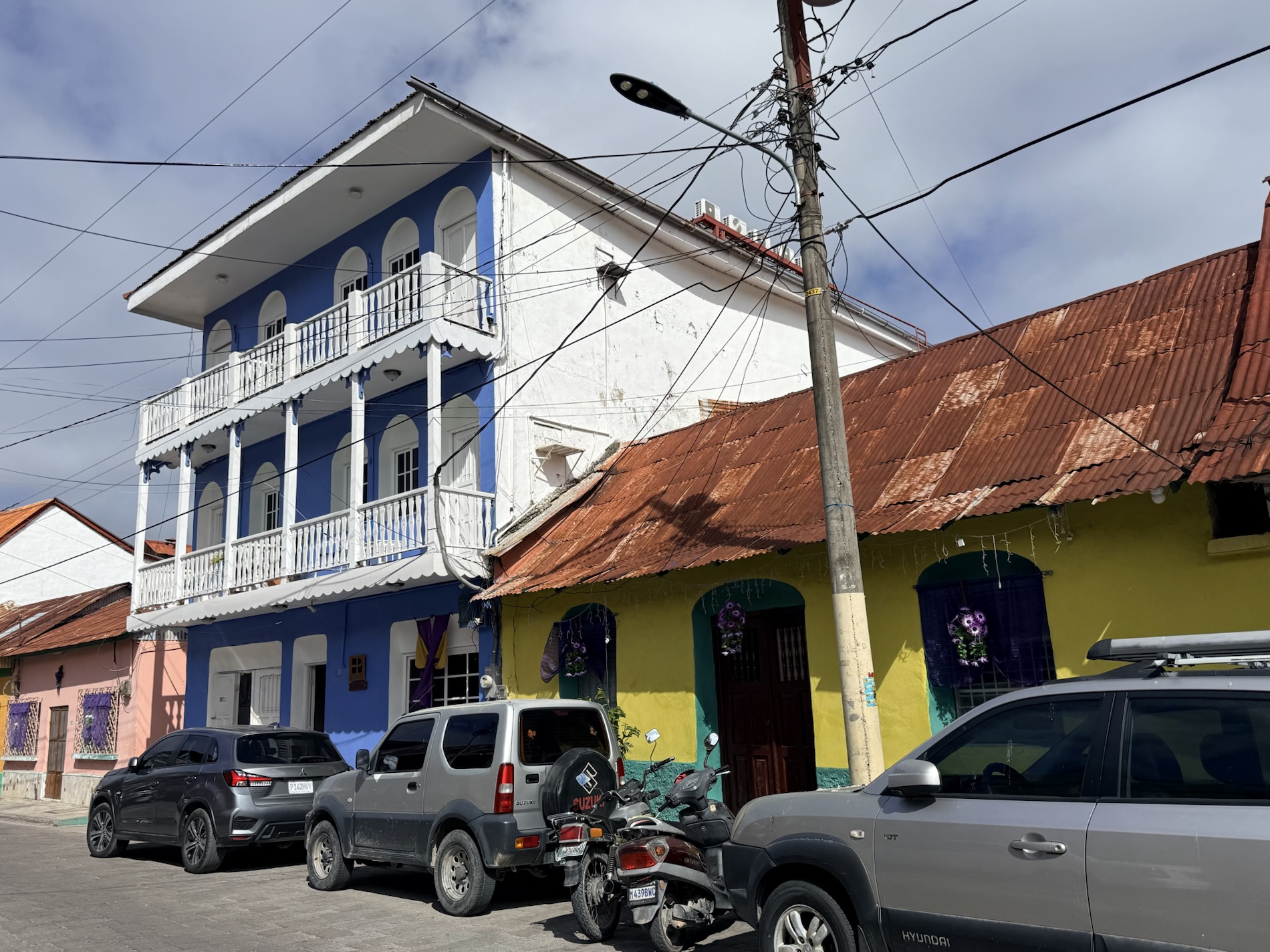
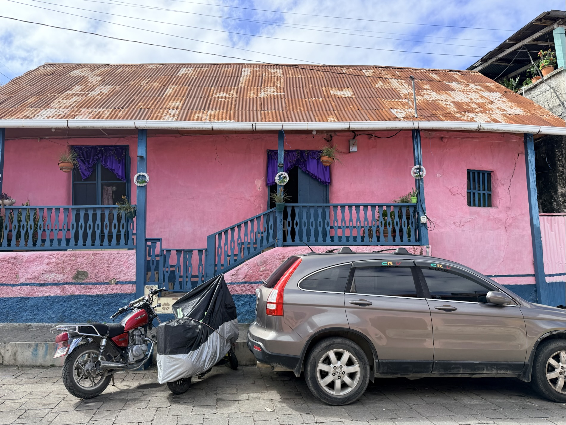
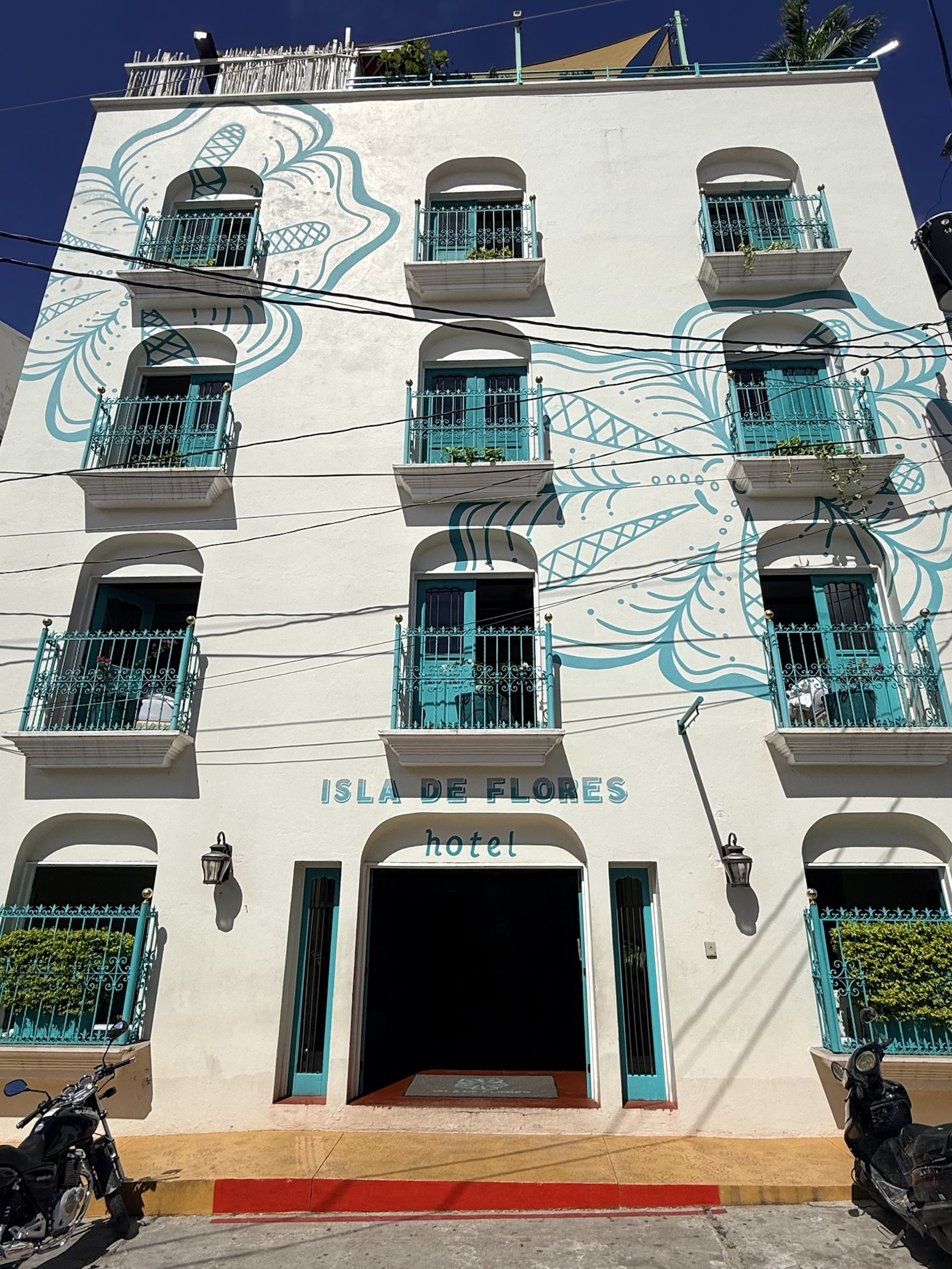
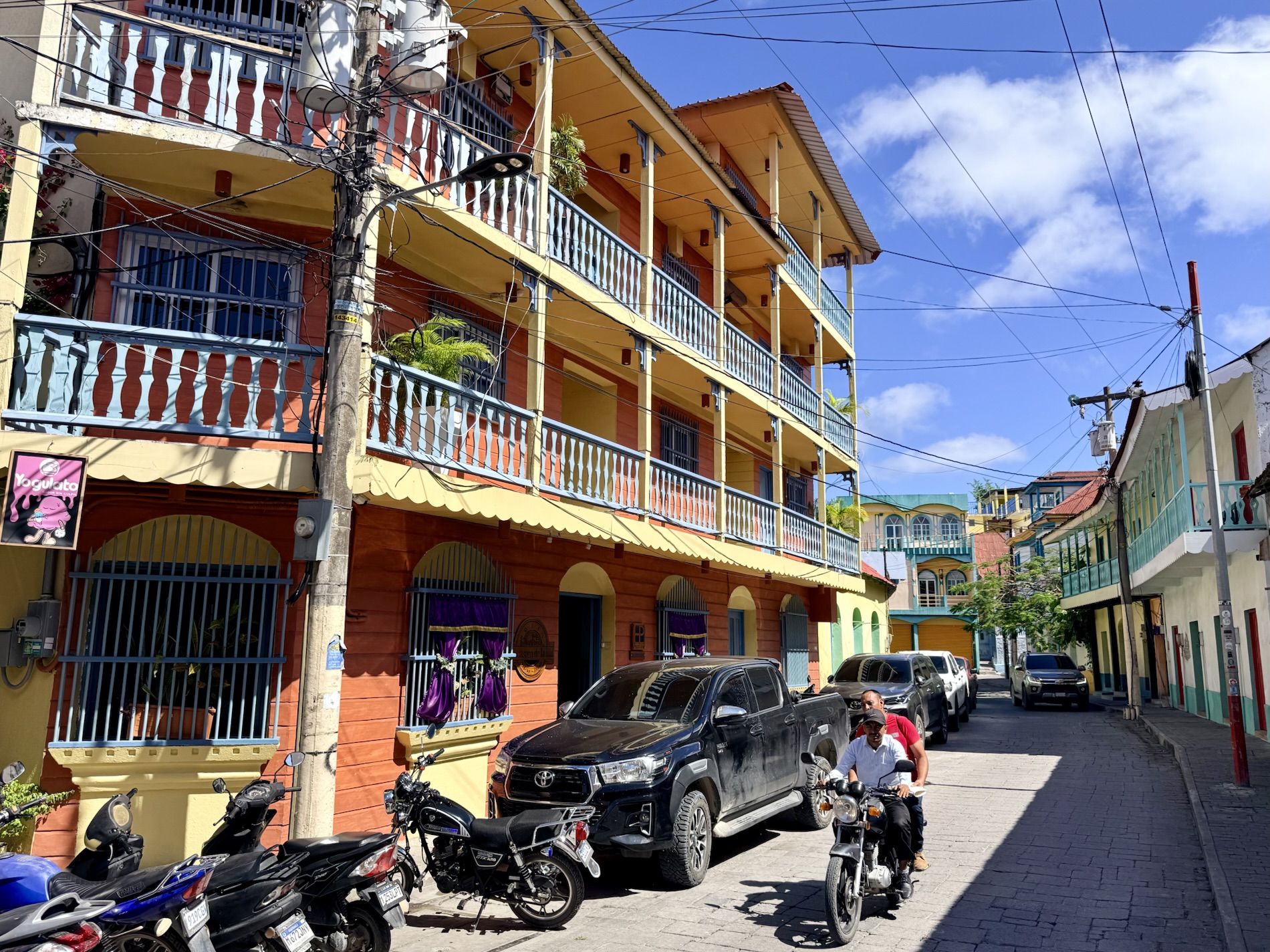
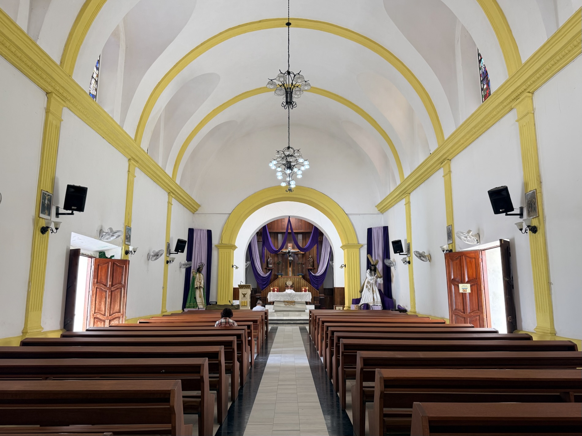
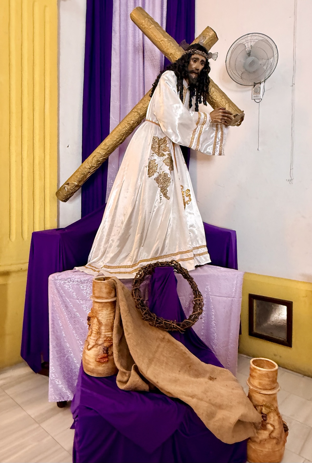
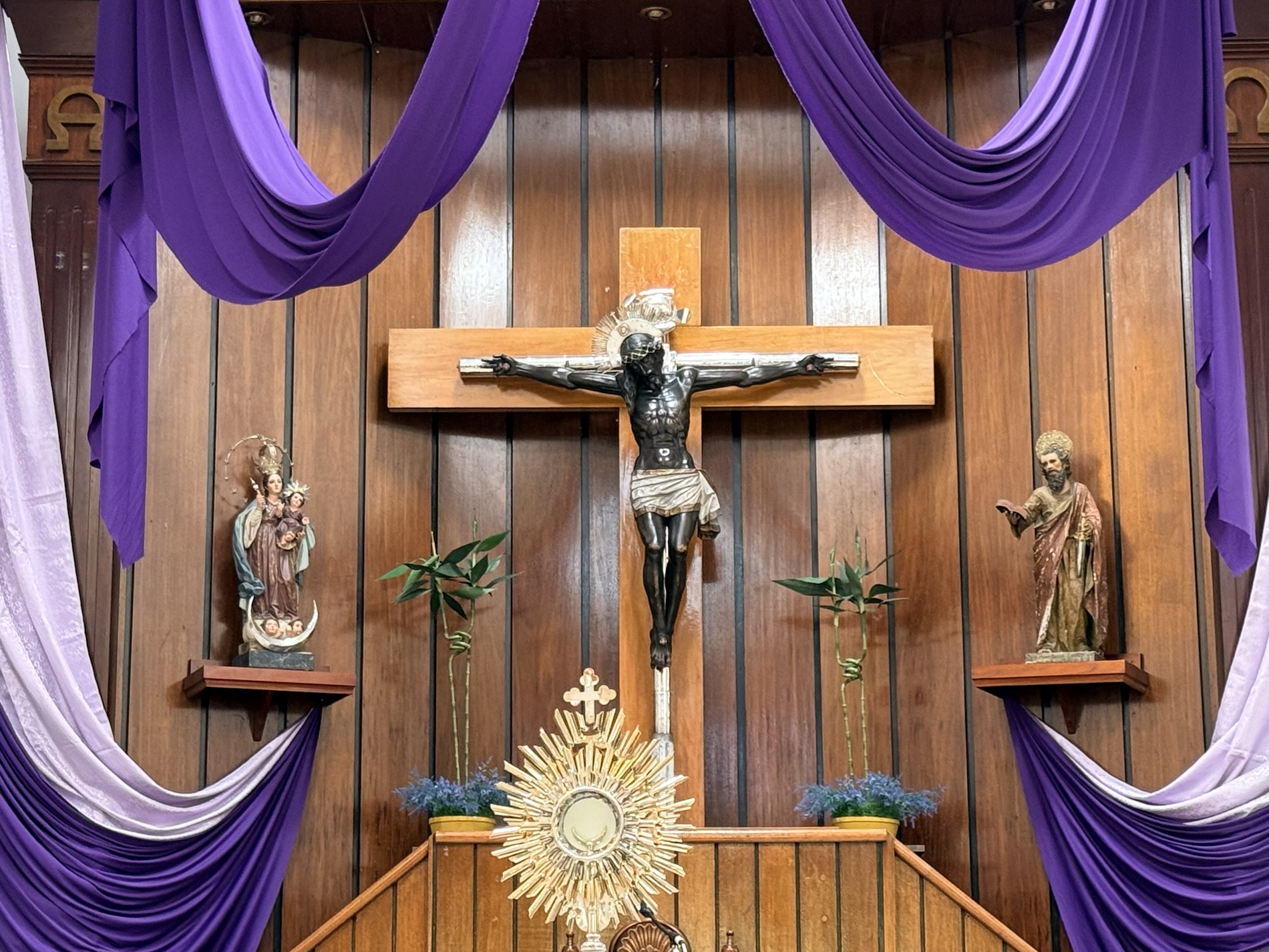
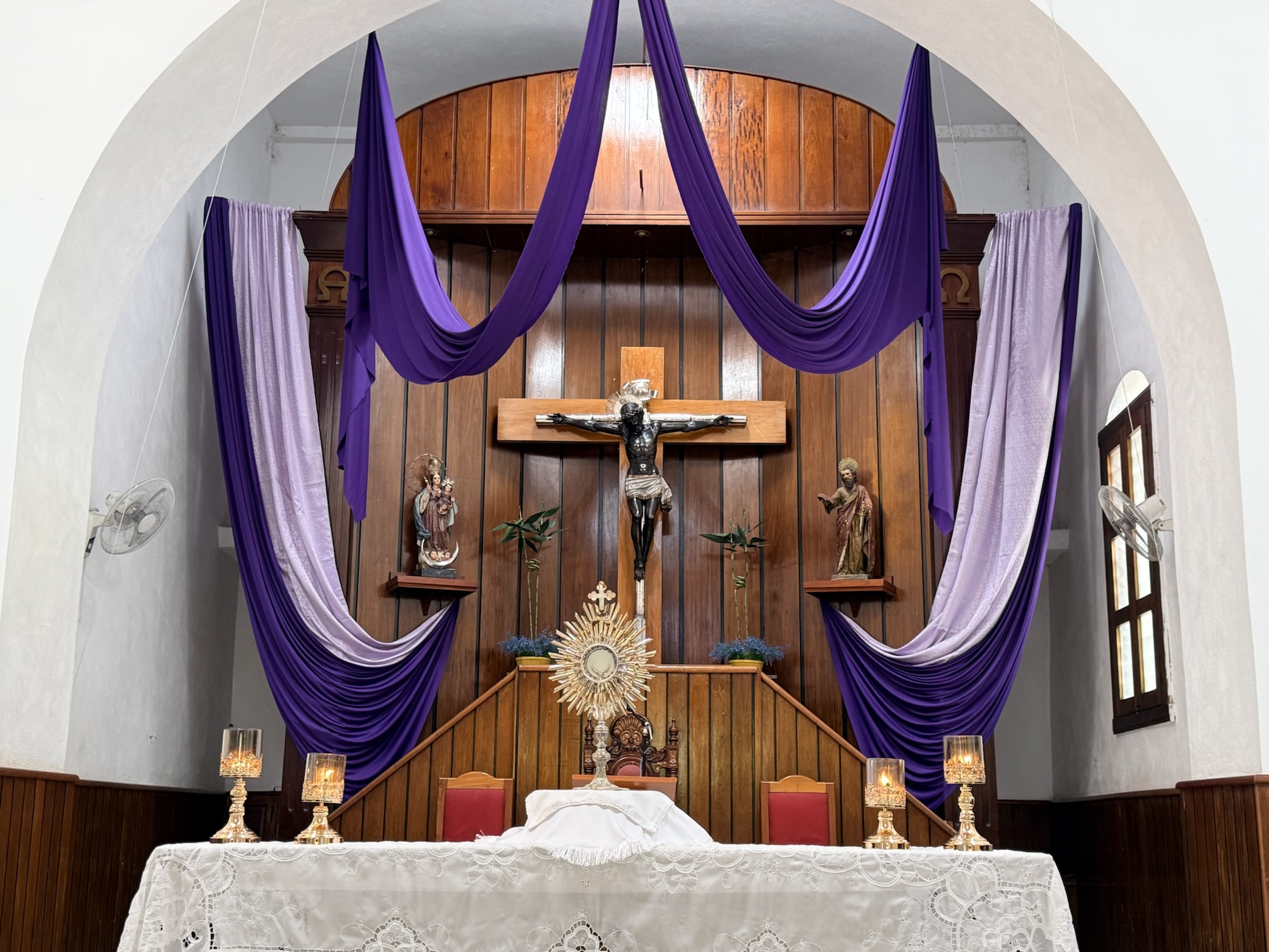
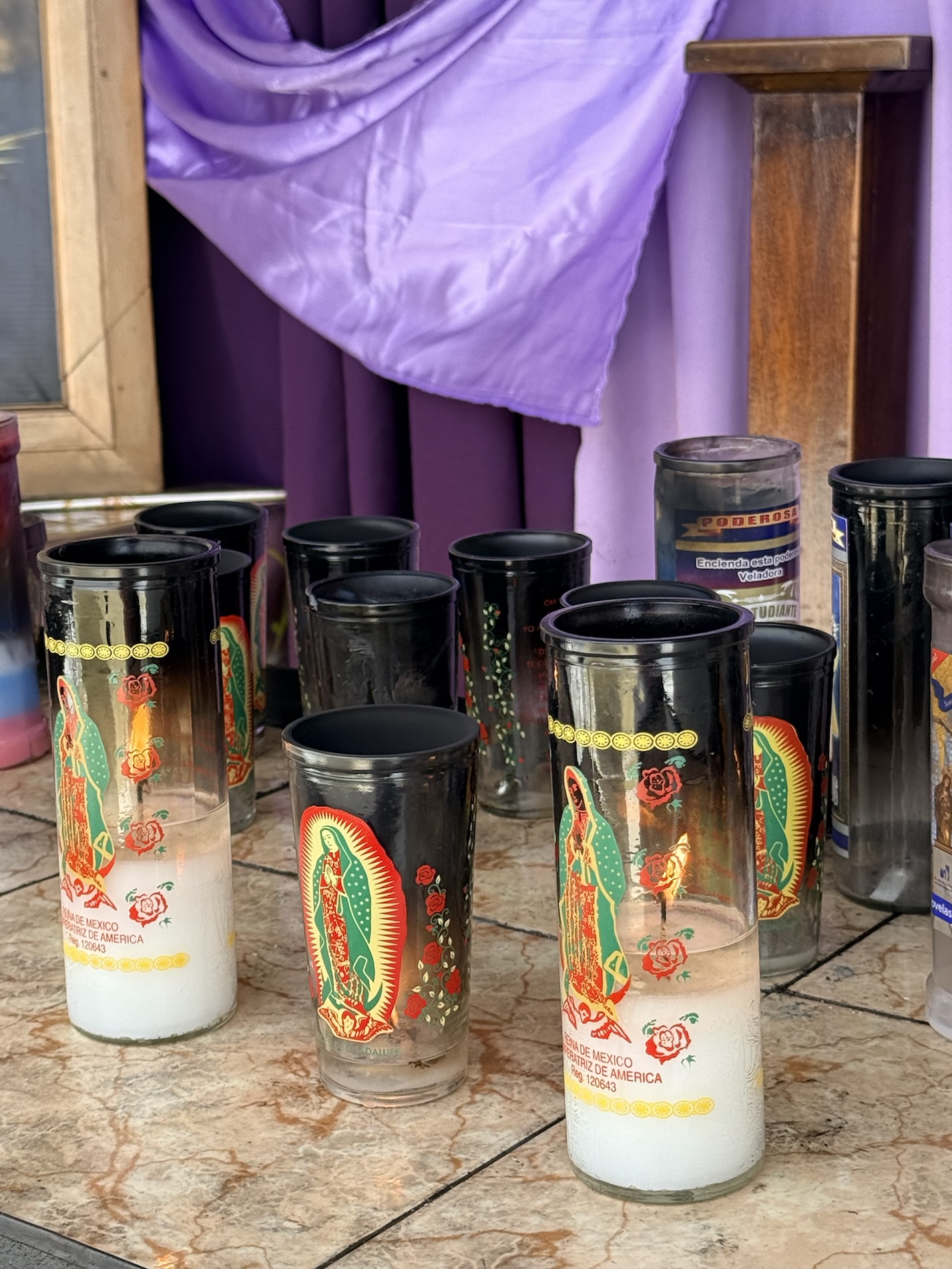
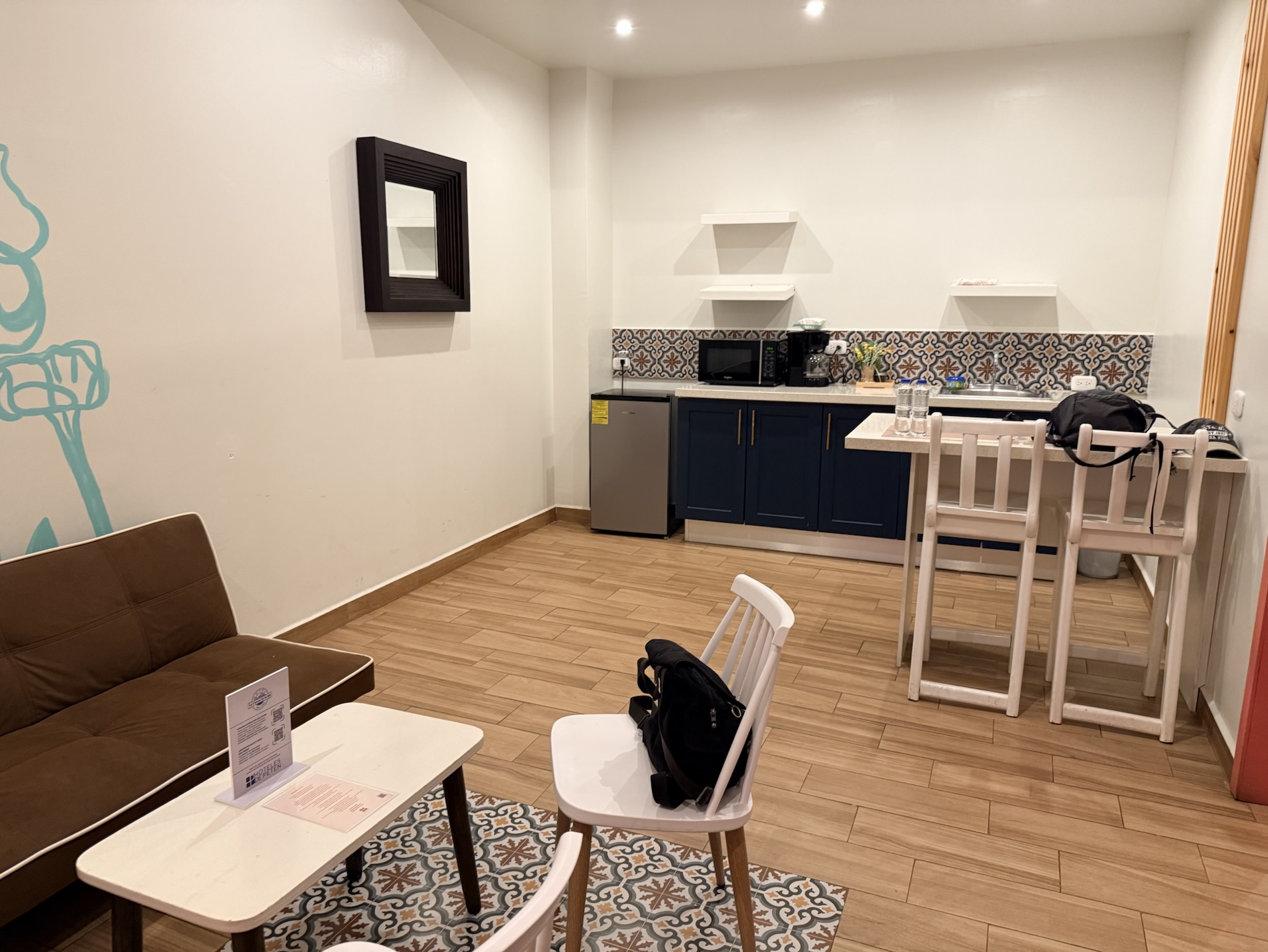
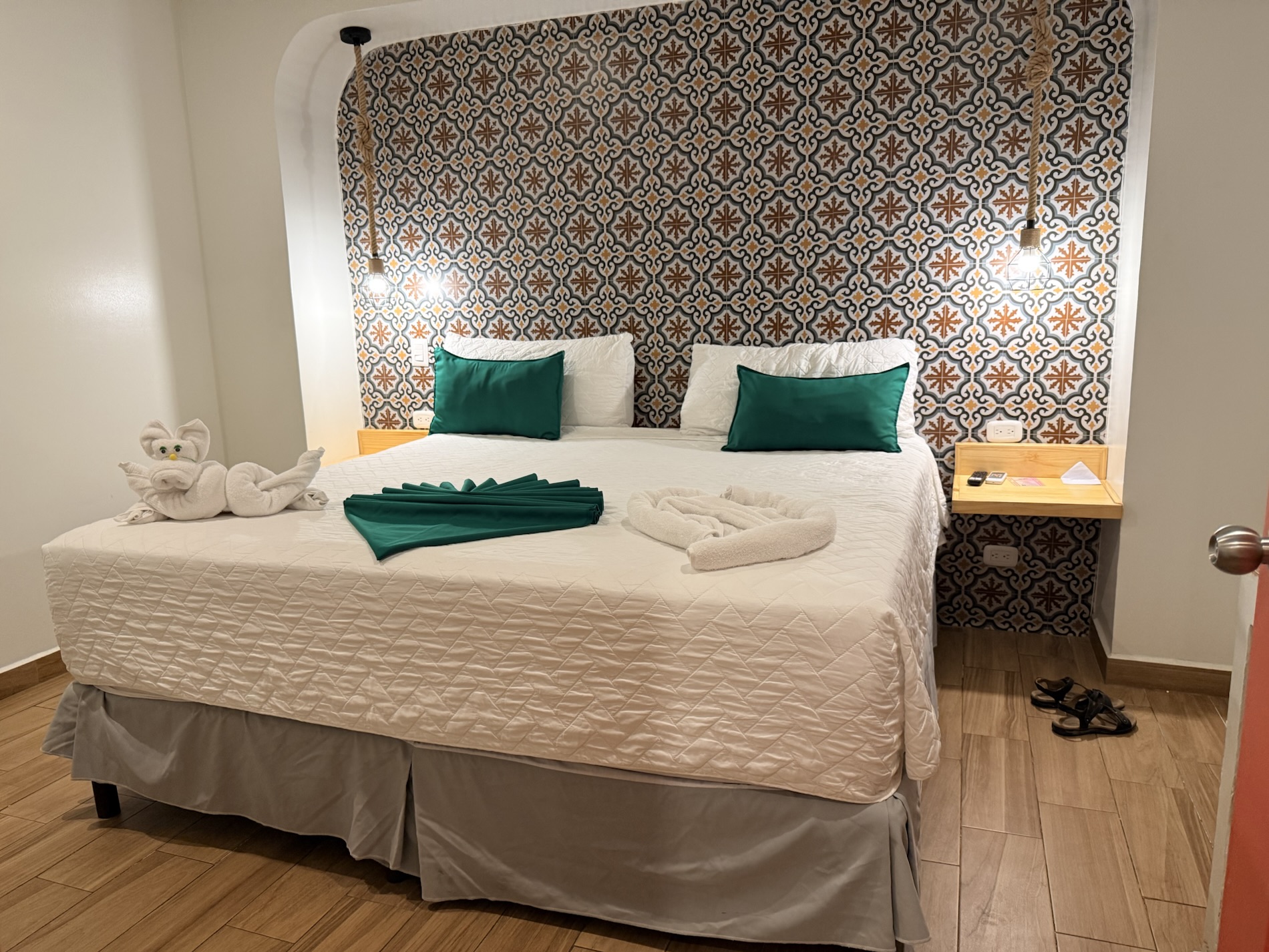
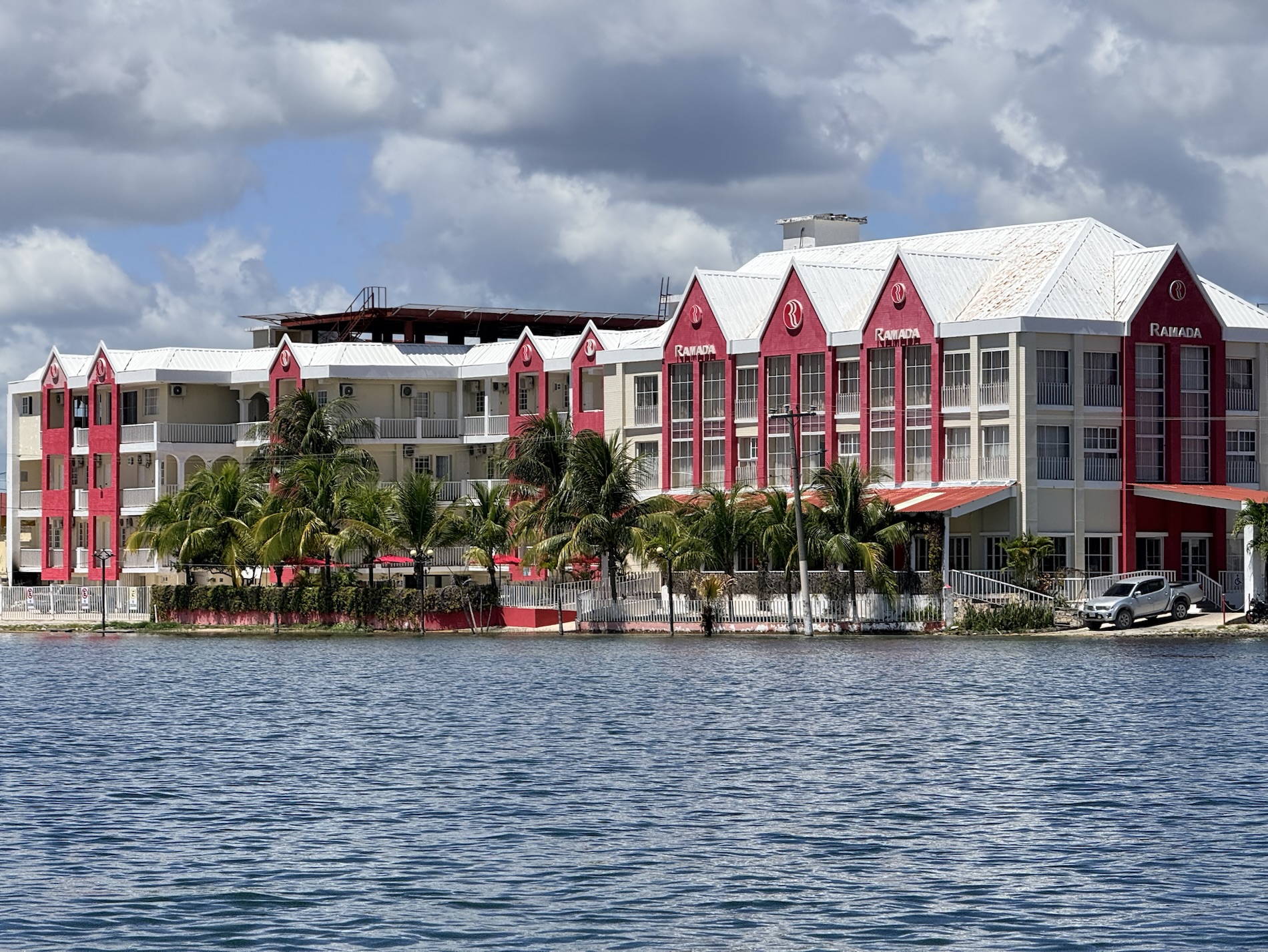
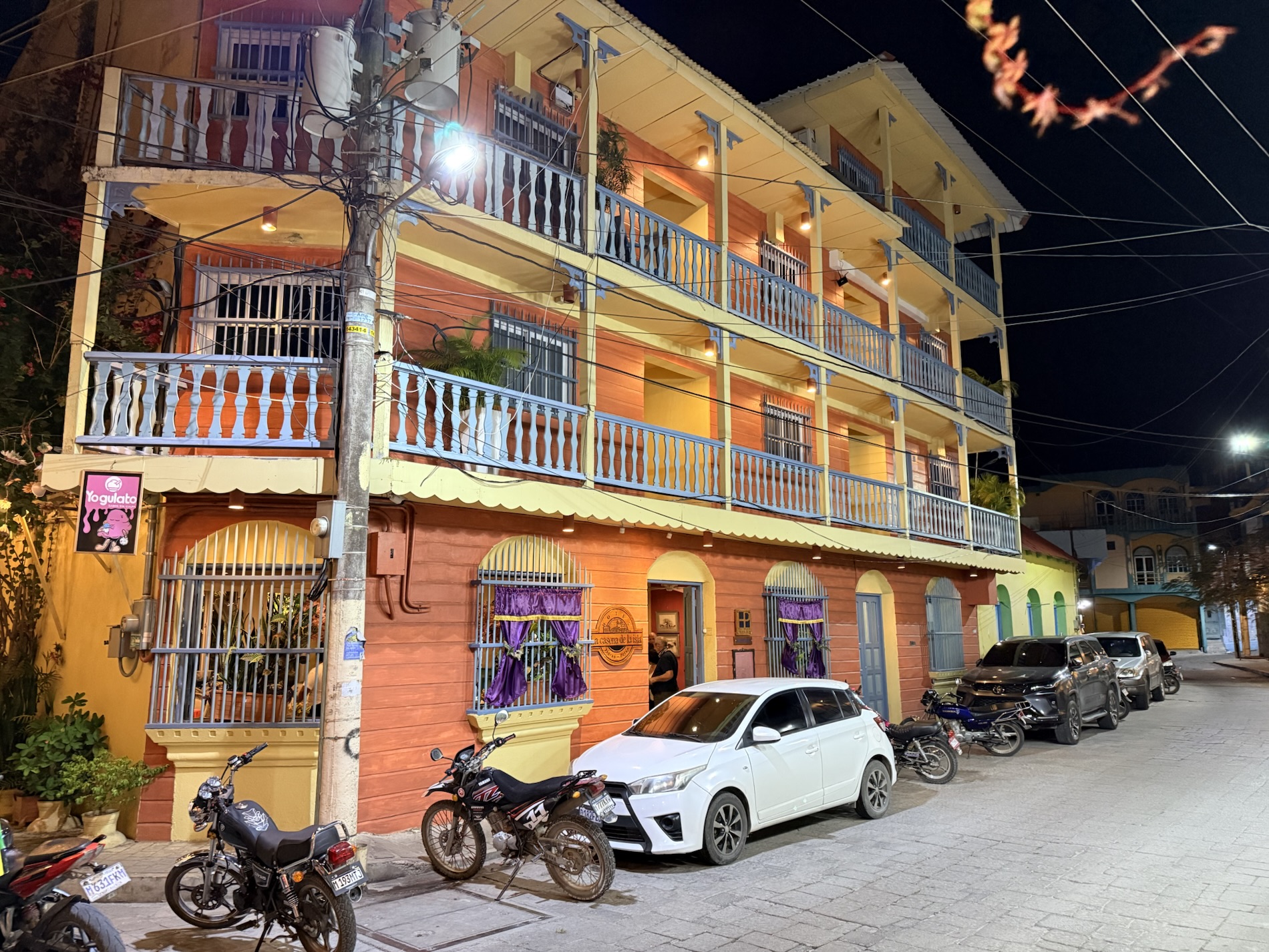
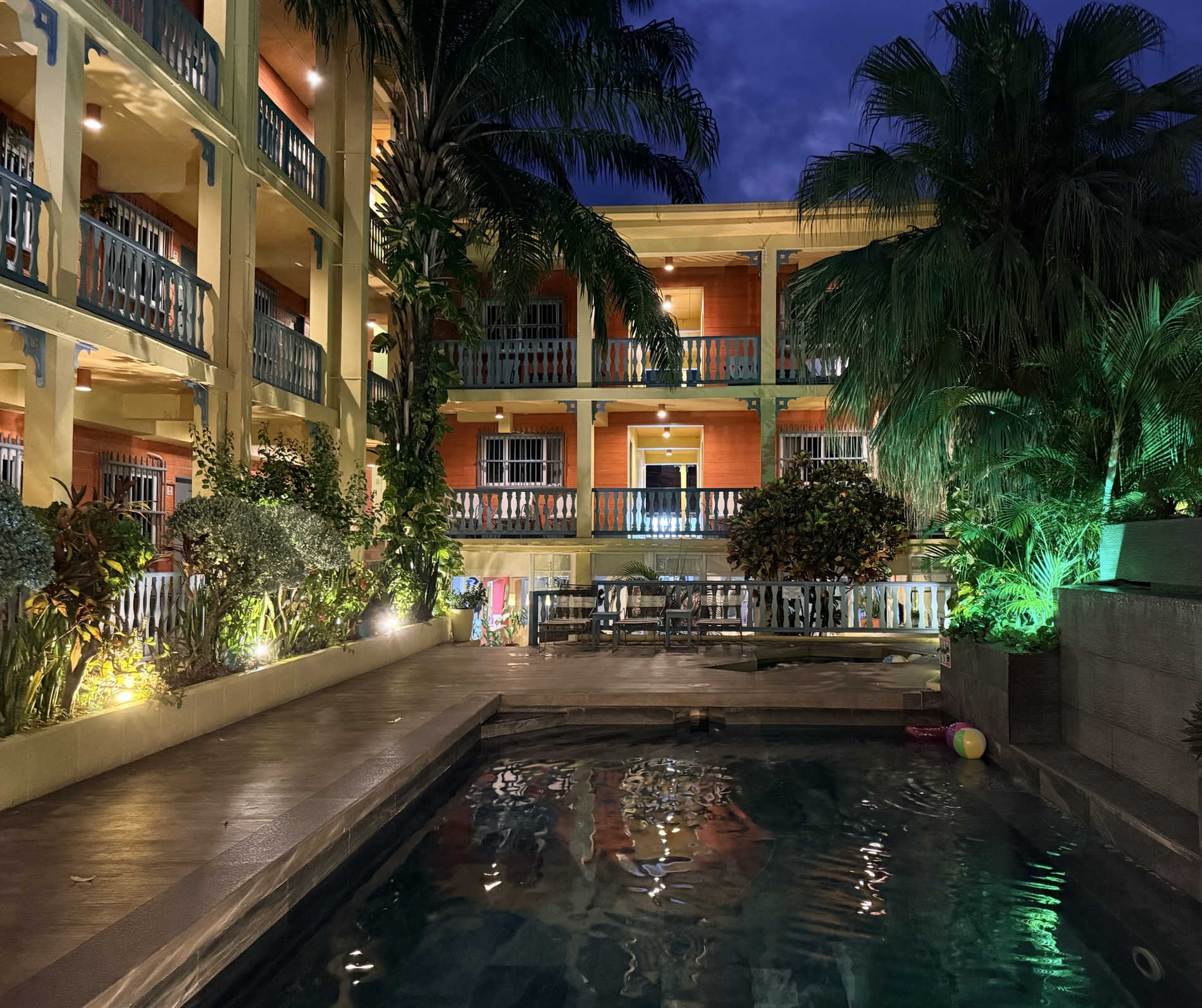
I learned that all the paraphernalia associated with cuaresma (lent) in Antigua is also evident in Flores, at the opposite end of the country: the alfombras de aserrín (sawdust carpets) , the religious dioramas, and the purple colors everywhere. I learned that our Hotel Casona de la Isla is cute, has a swimming pool and bar, and that the apartments (where we would stay) are across the street in another building.
I learned, especially after being in the dry and cool climate in the Costa Rican and Gautemalan highlands, that I’m miserable once I am immersed in tropical regions with high temperatures and high humidity. I know this fact, yet I somehow always forget, or conveniently file it away, until the unpleasantness hits me once again.
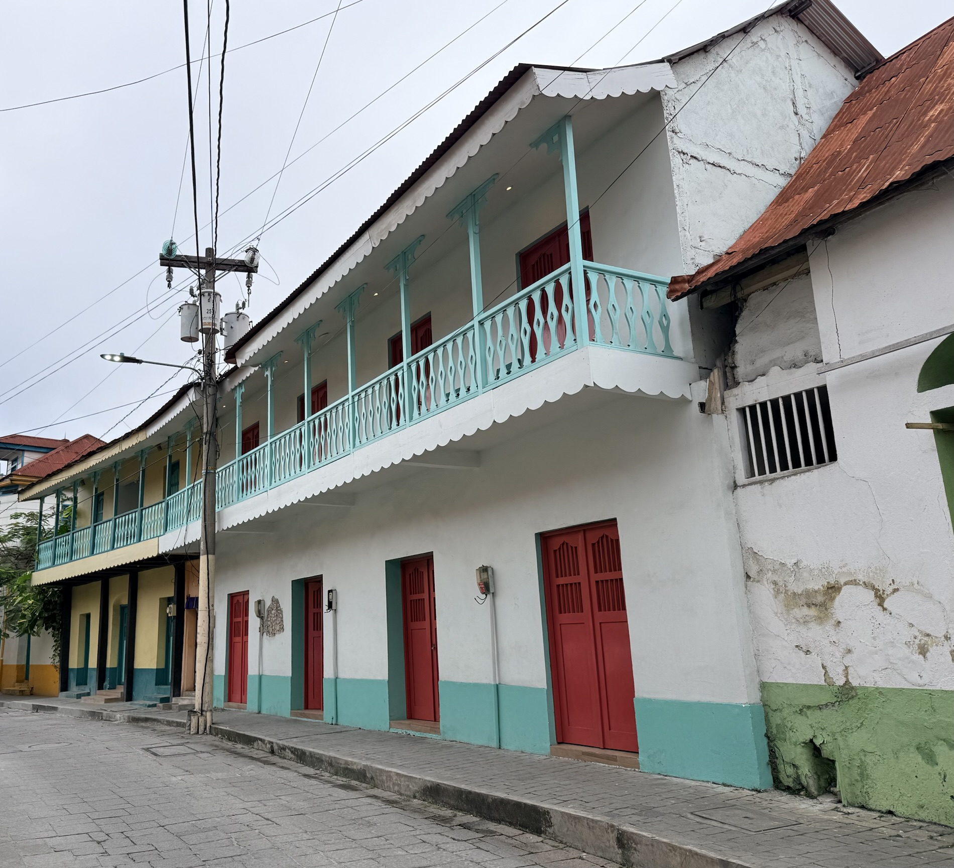
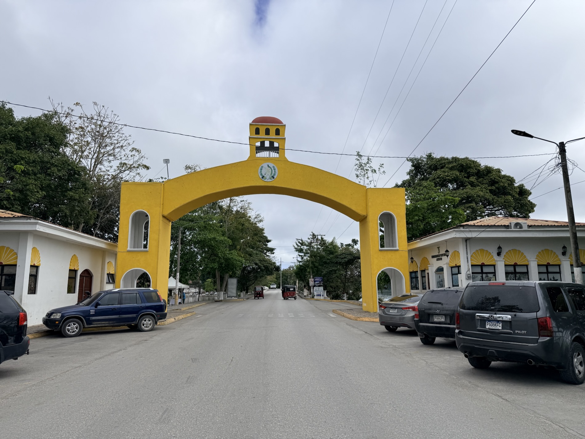
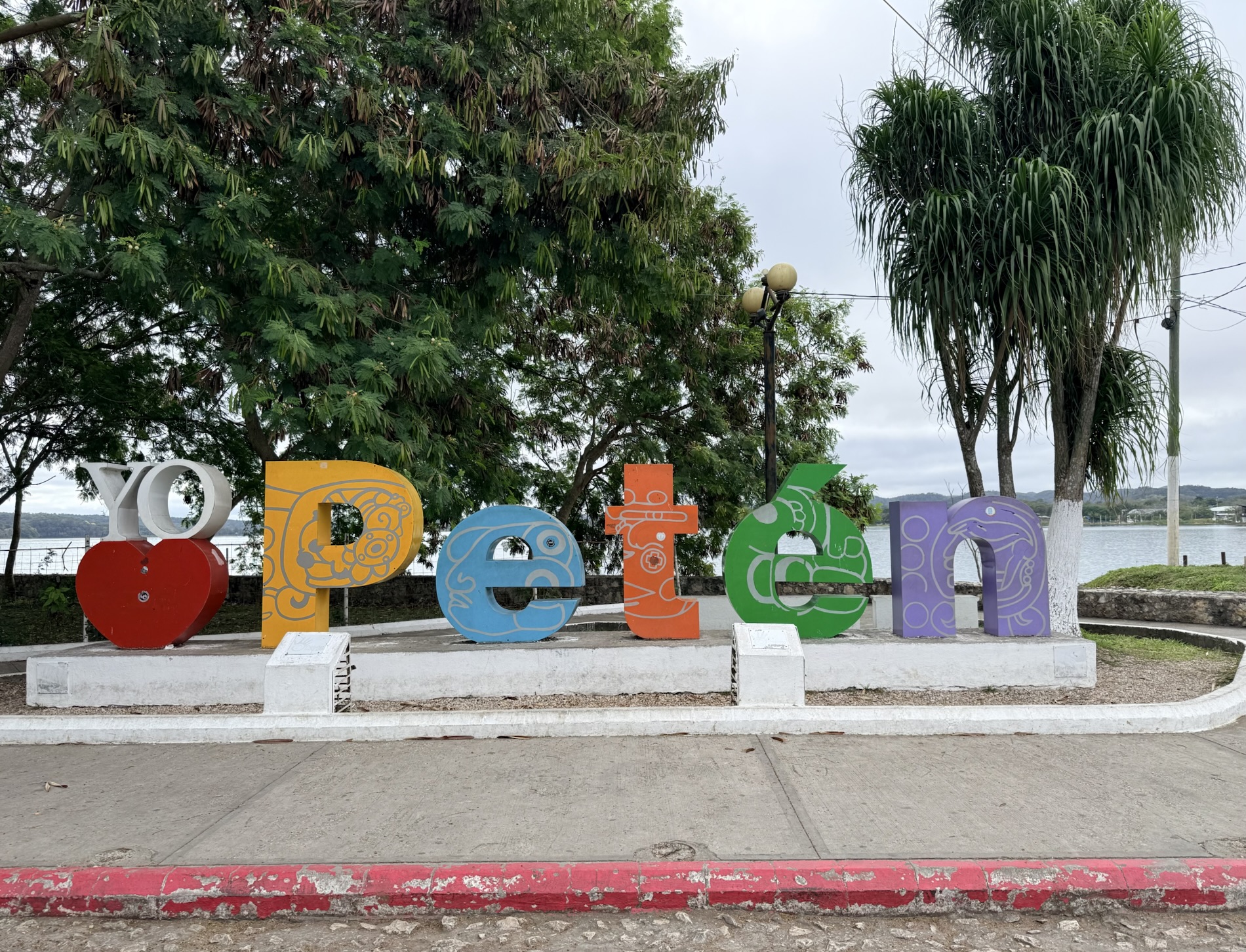
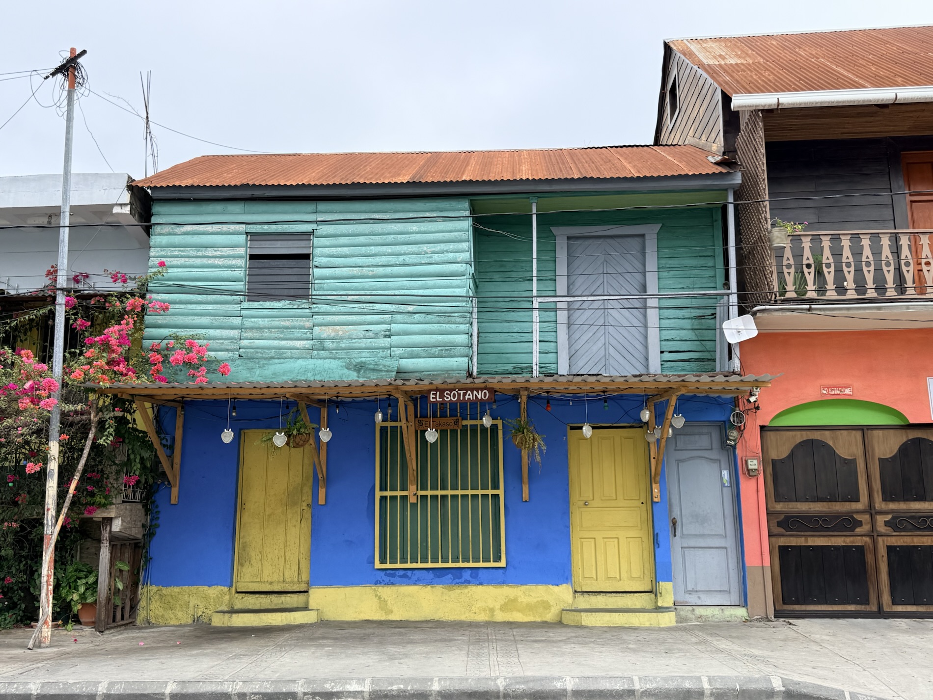
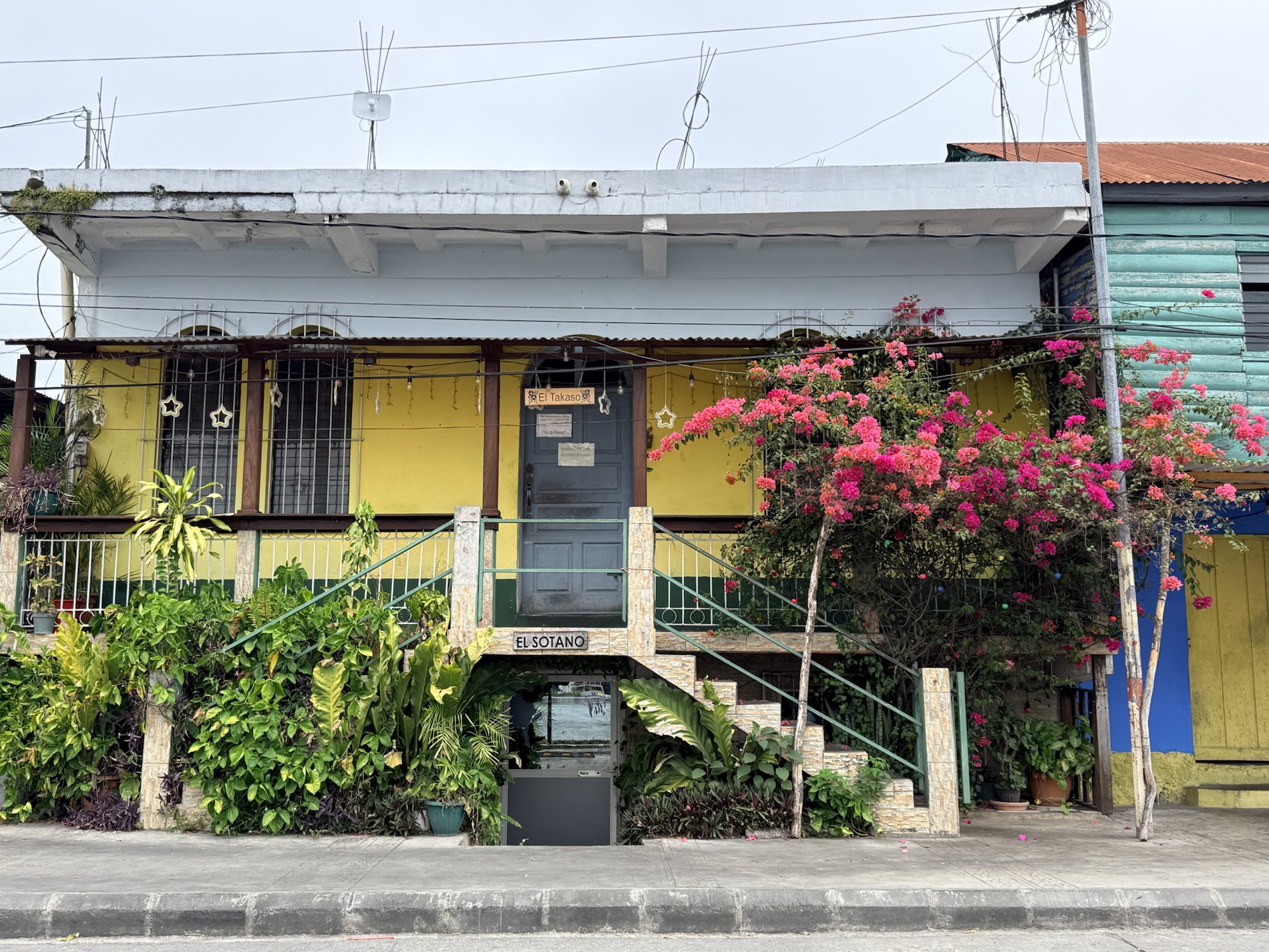
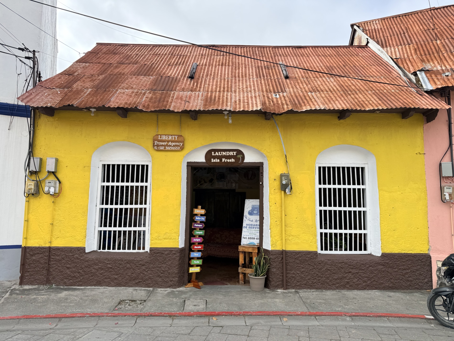
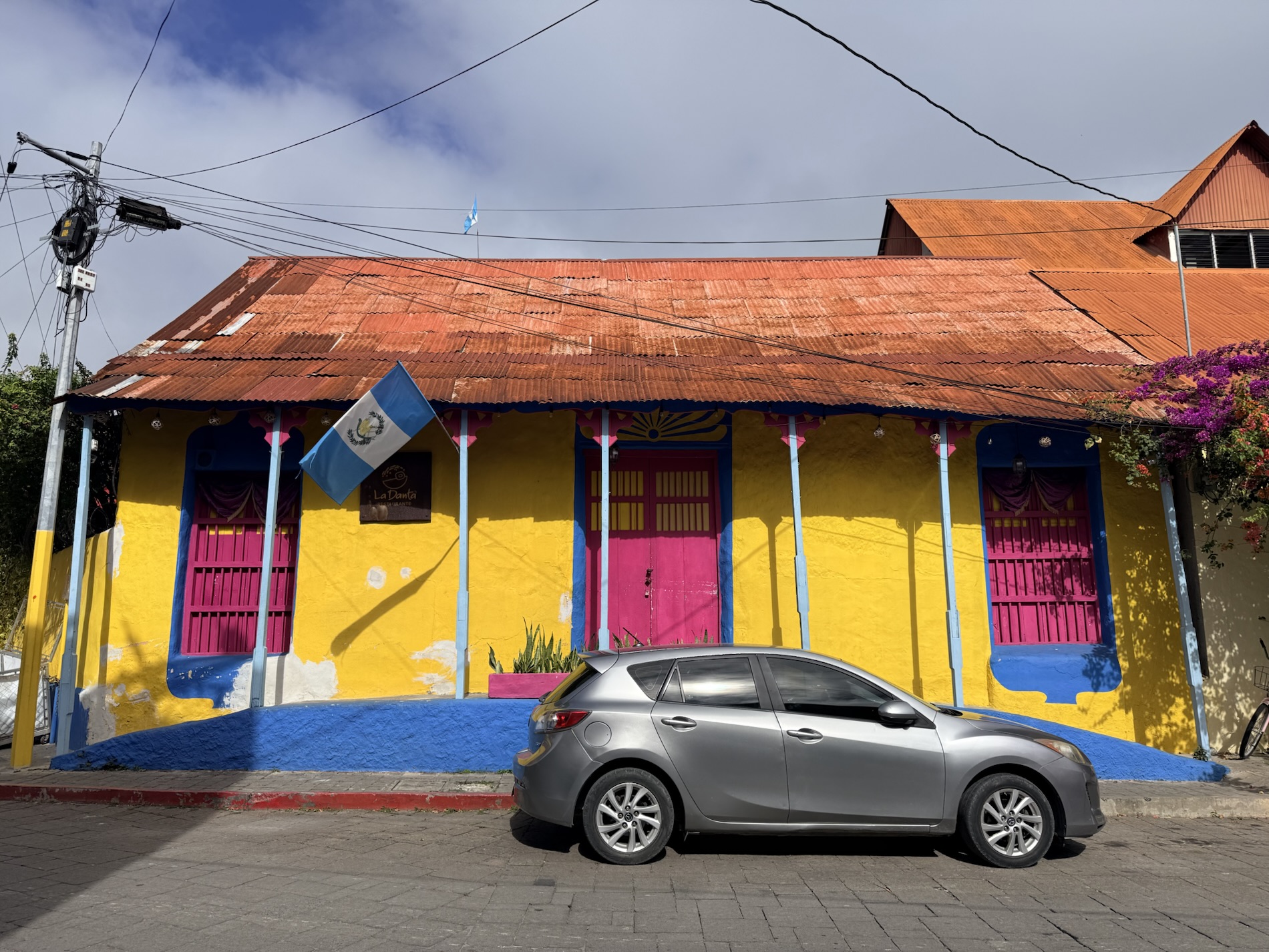
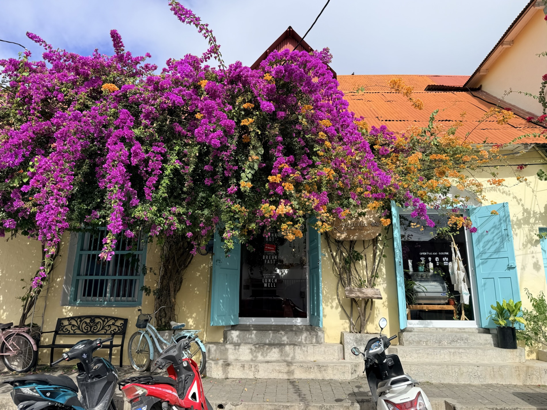
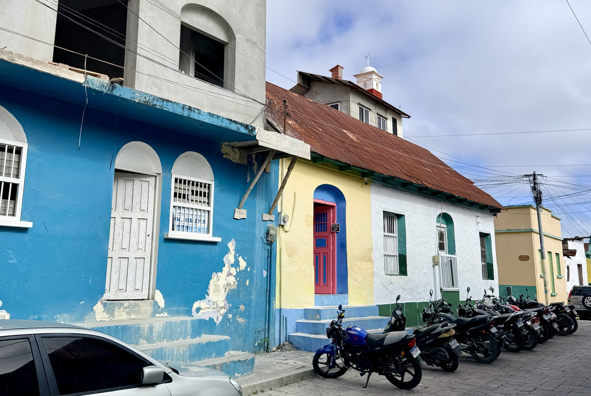
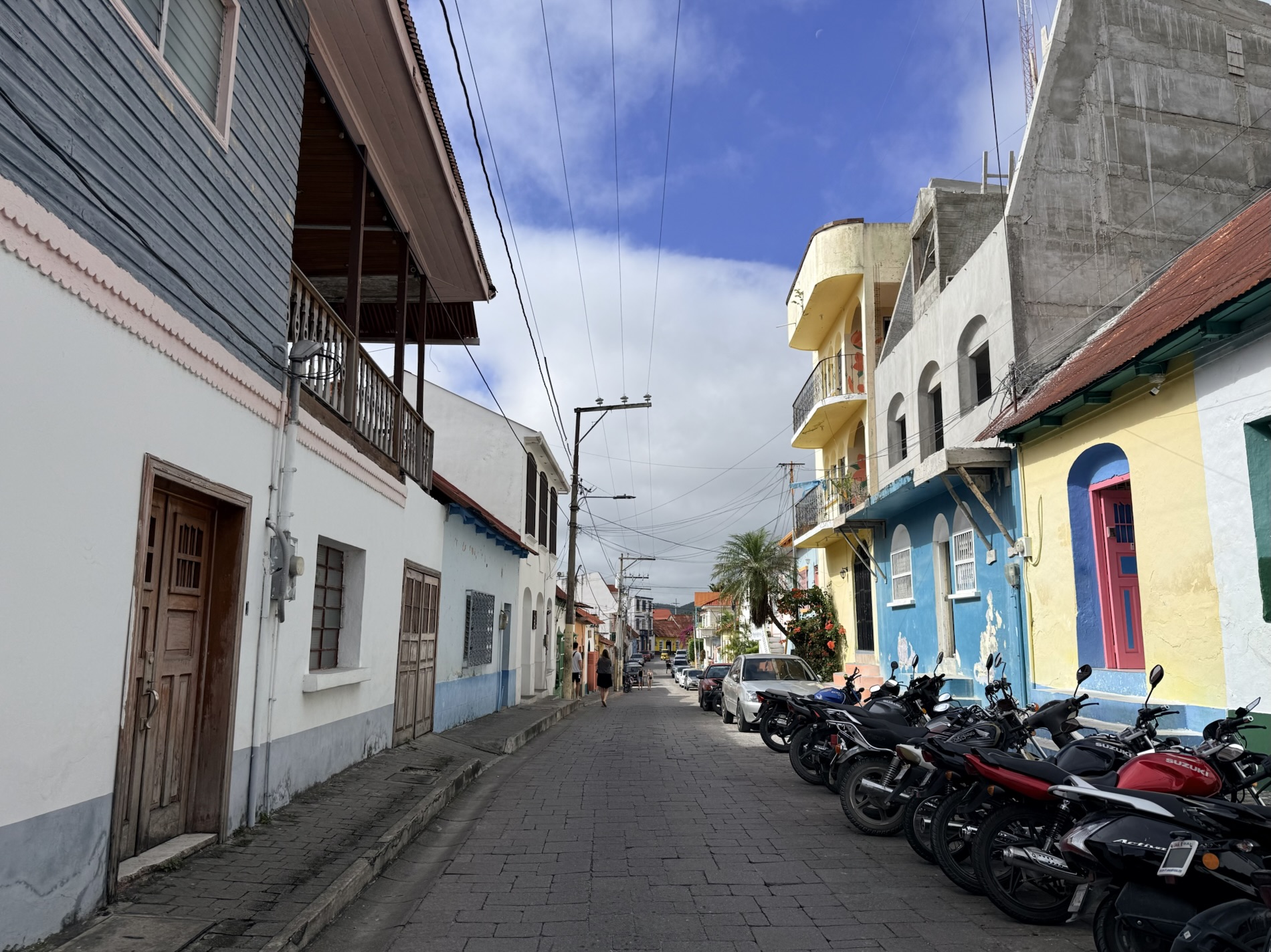
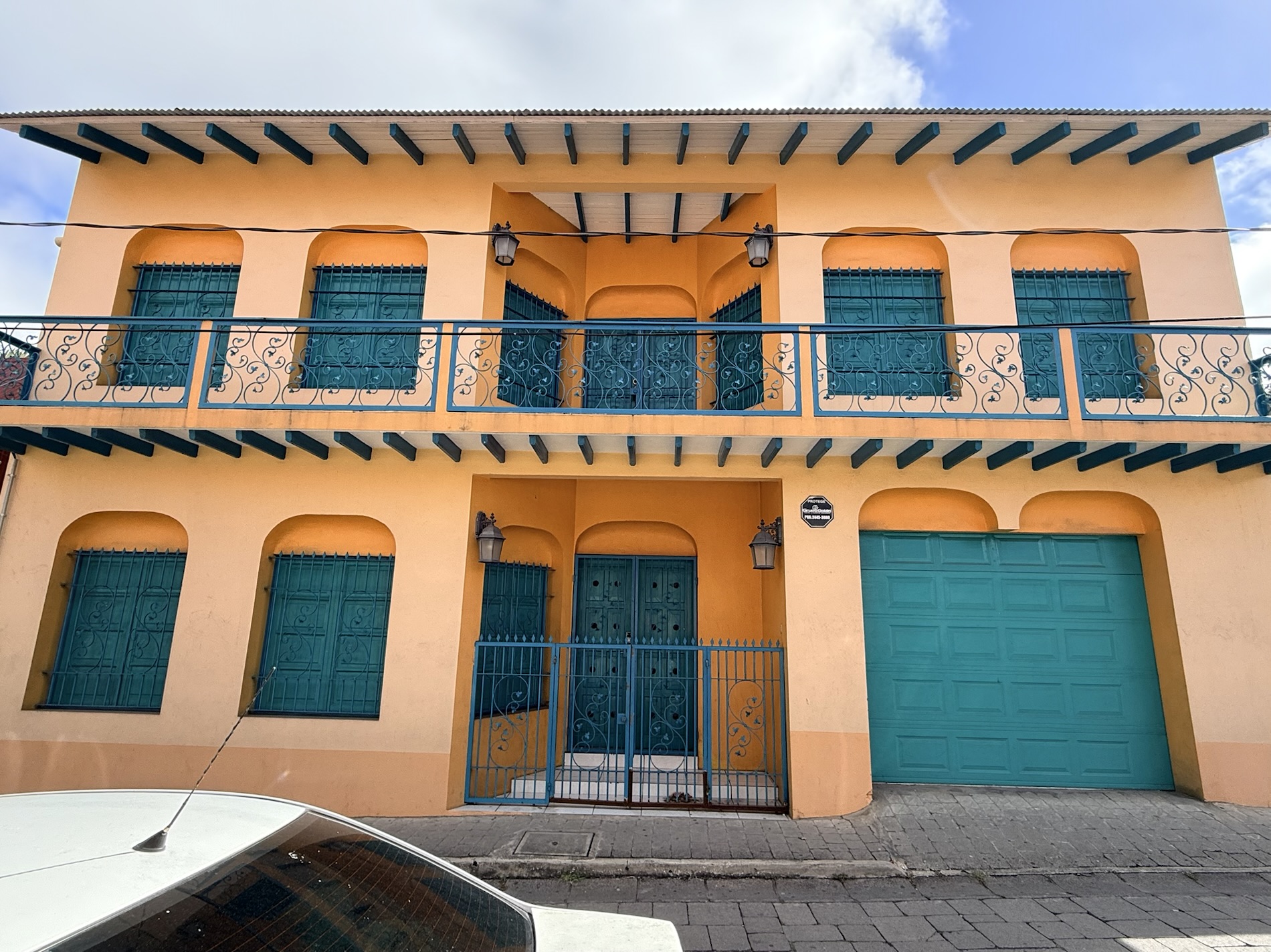
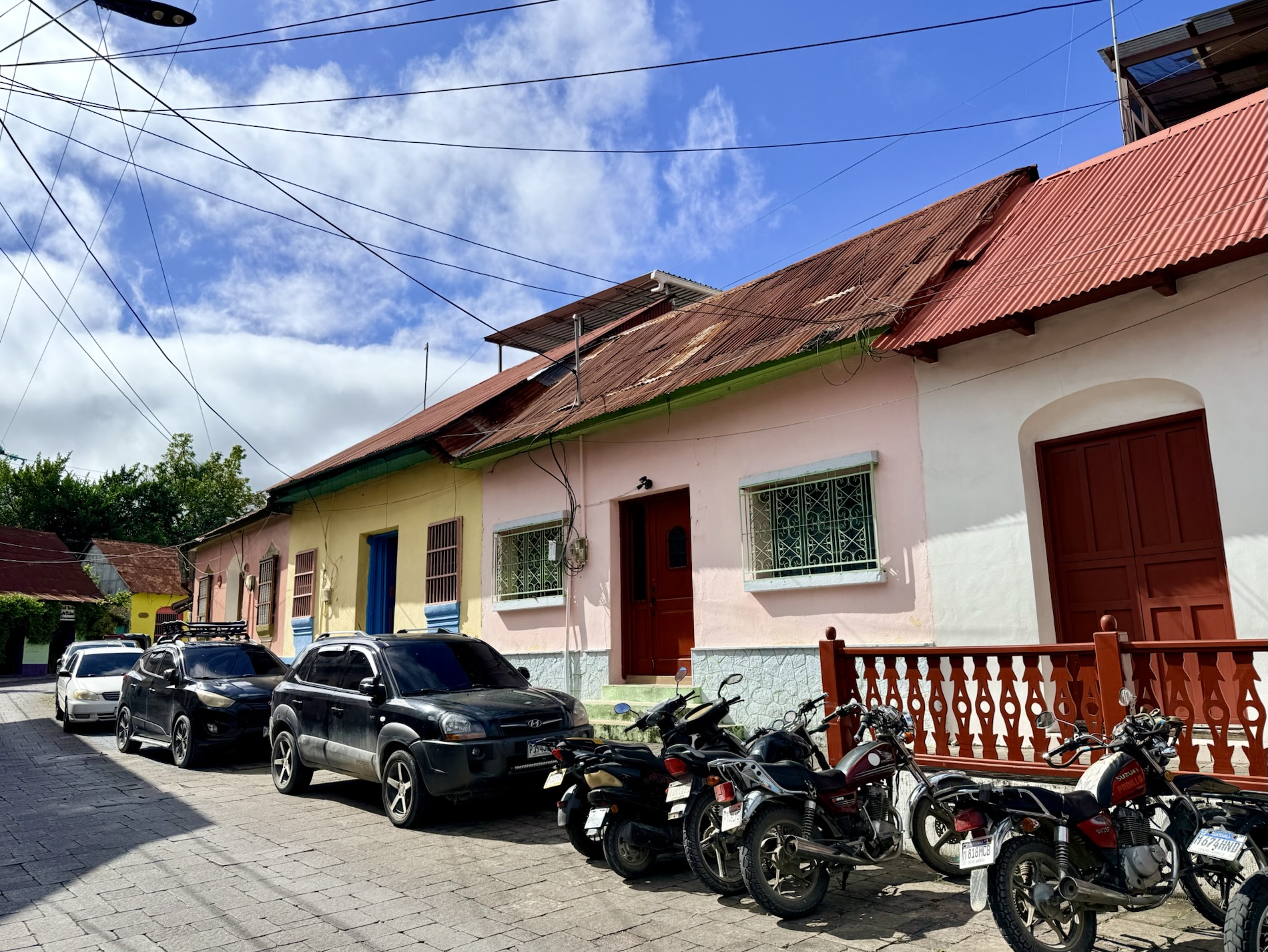
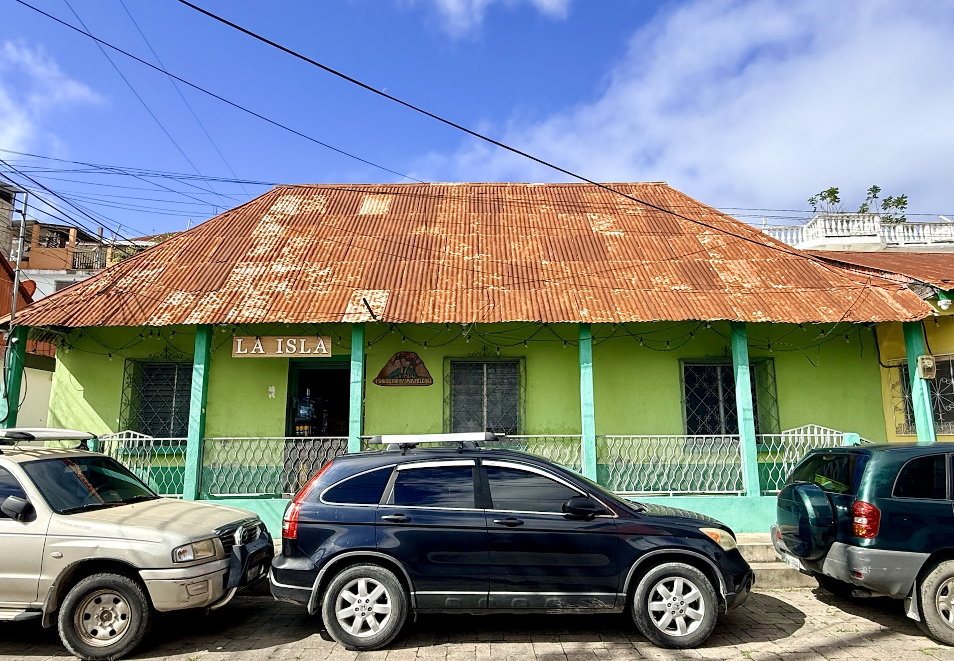
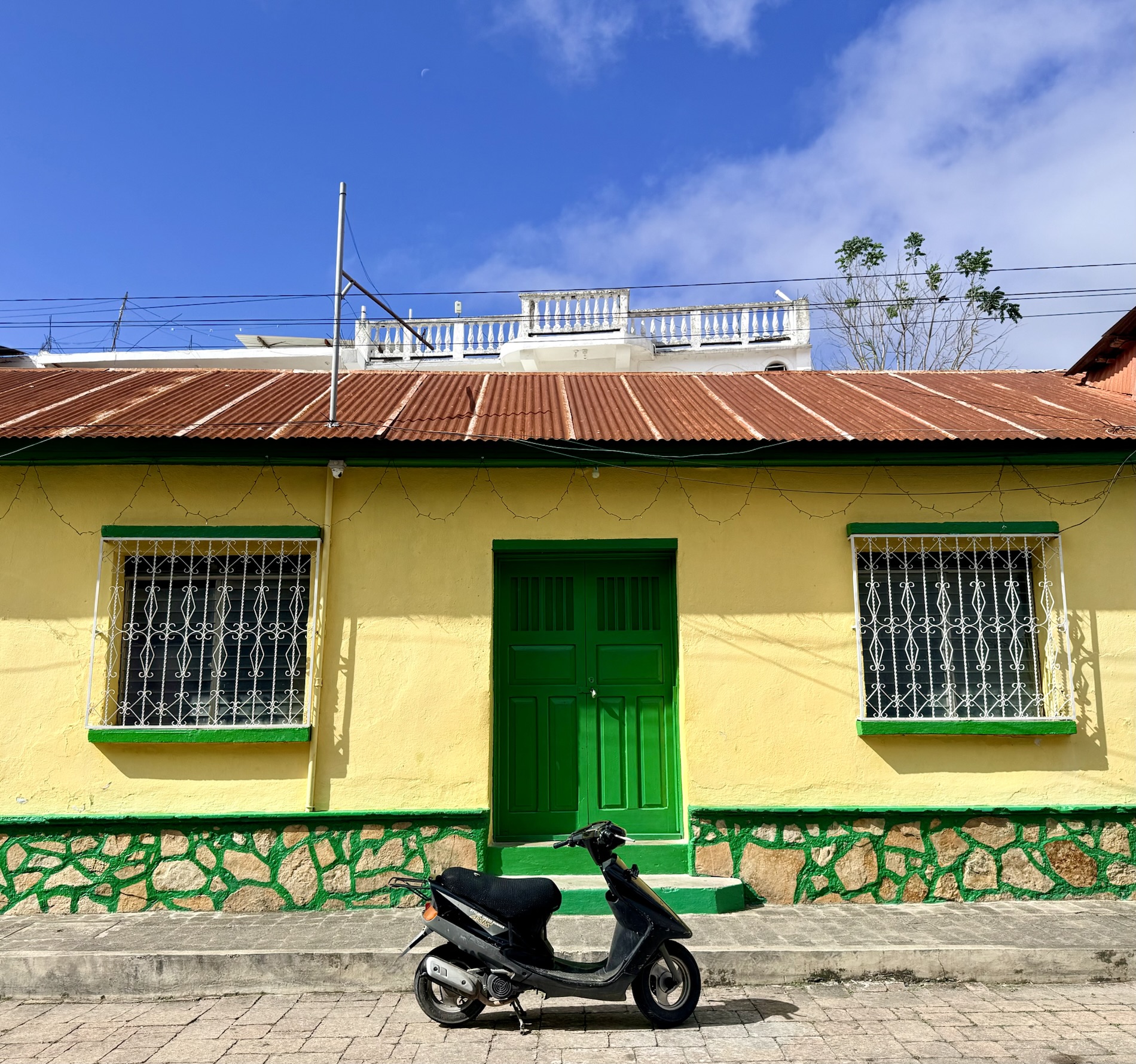
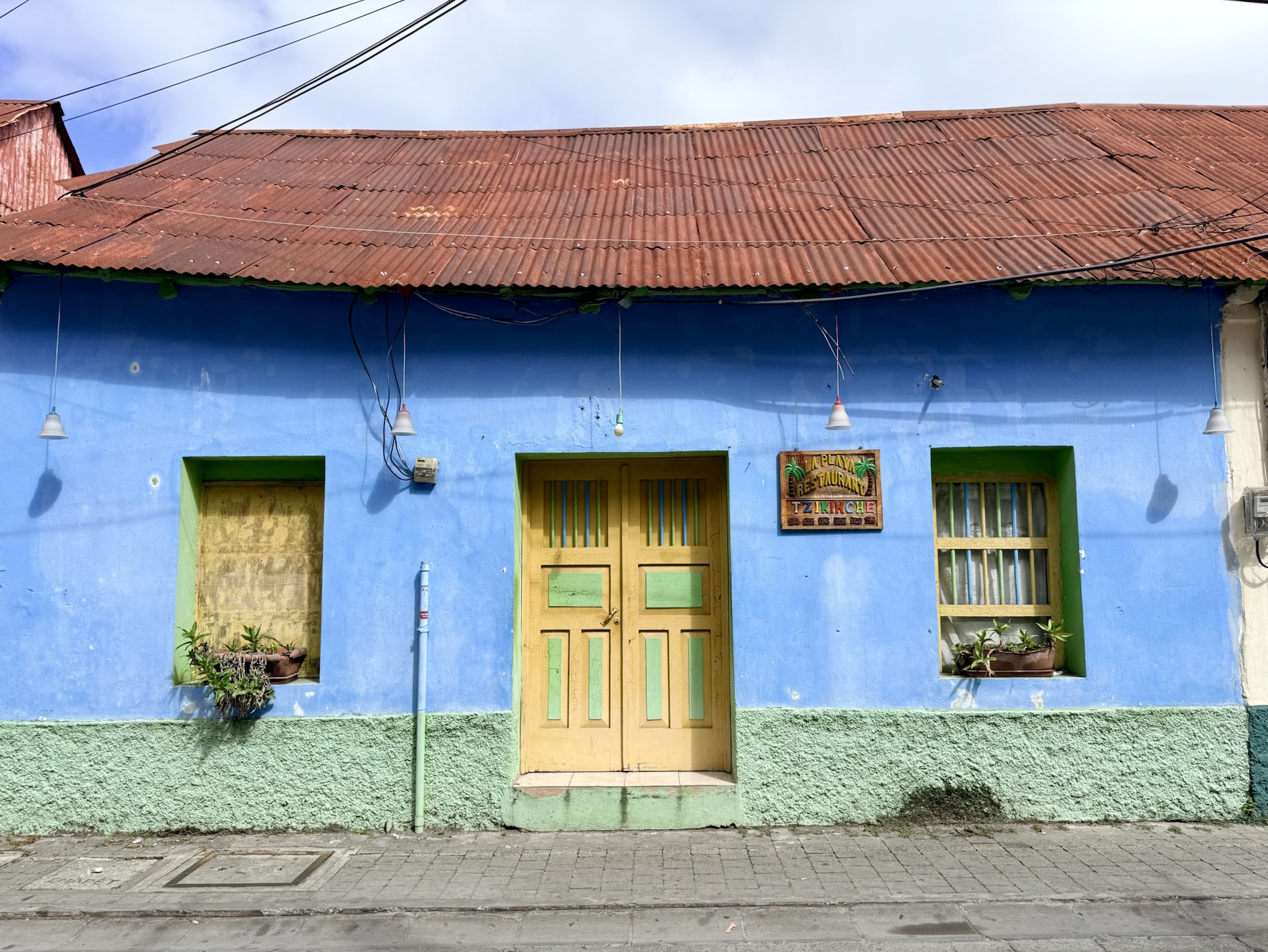
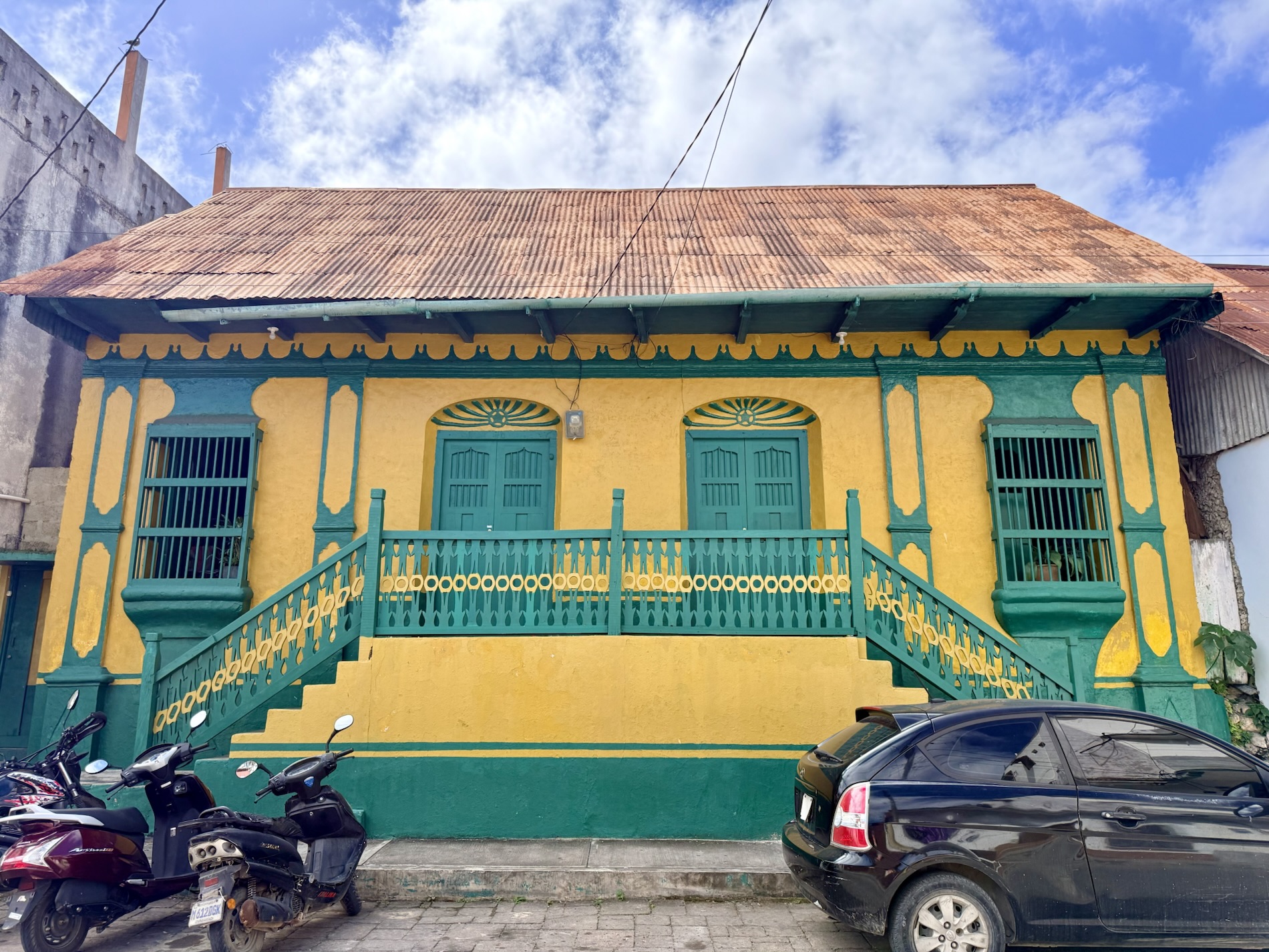
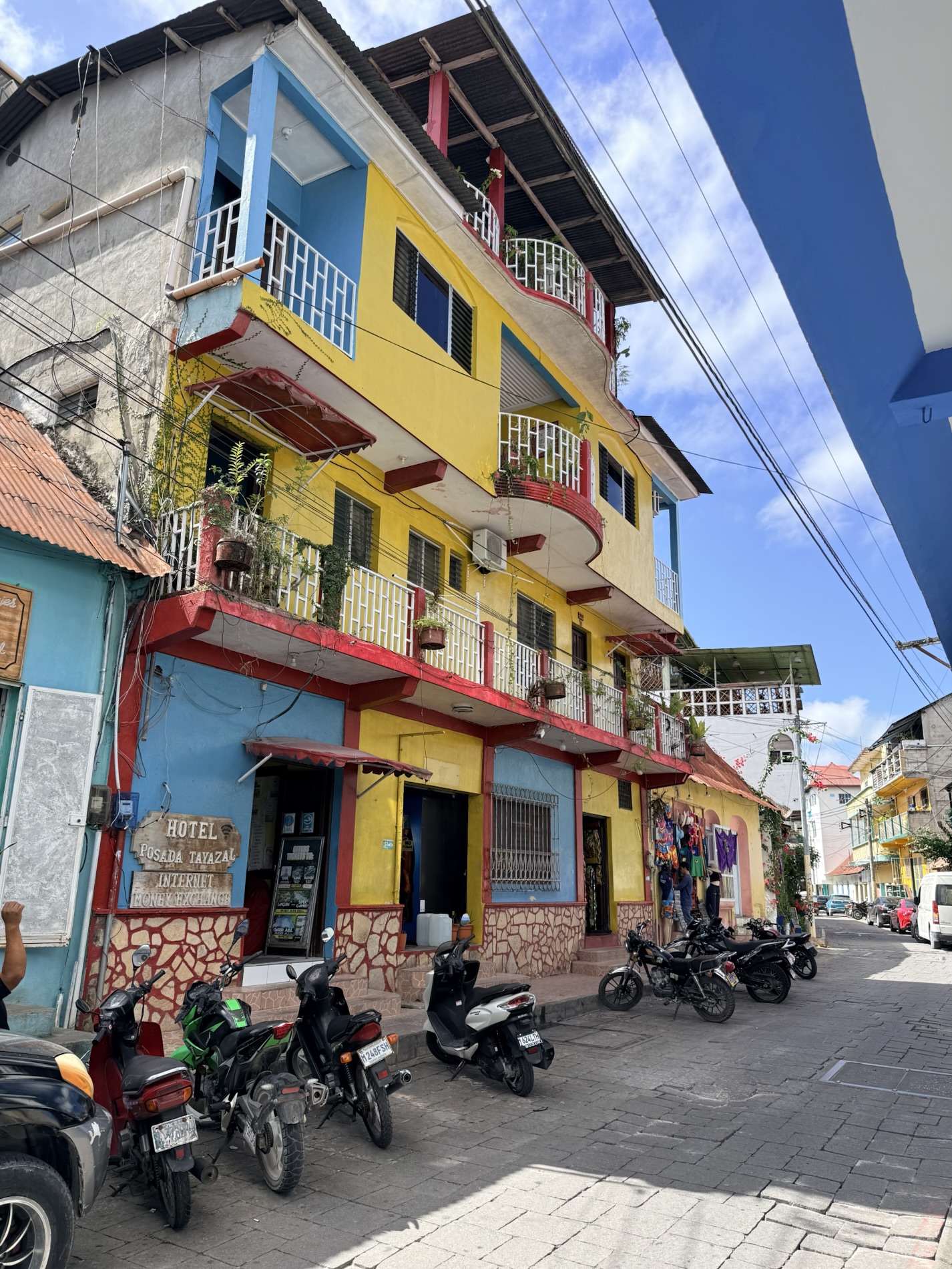
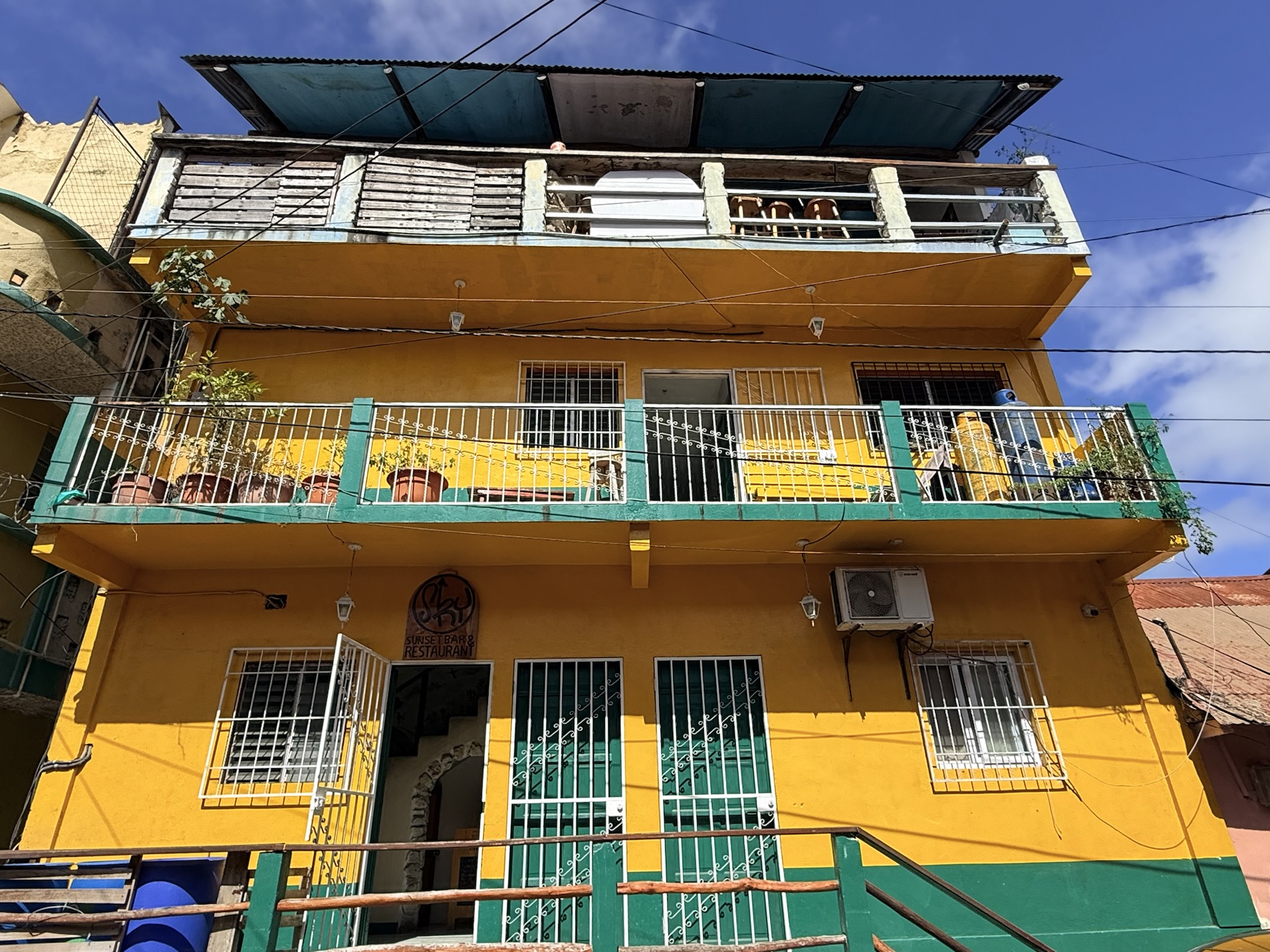
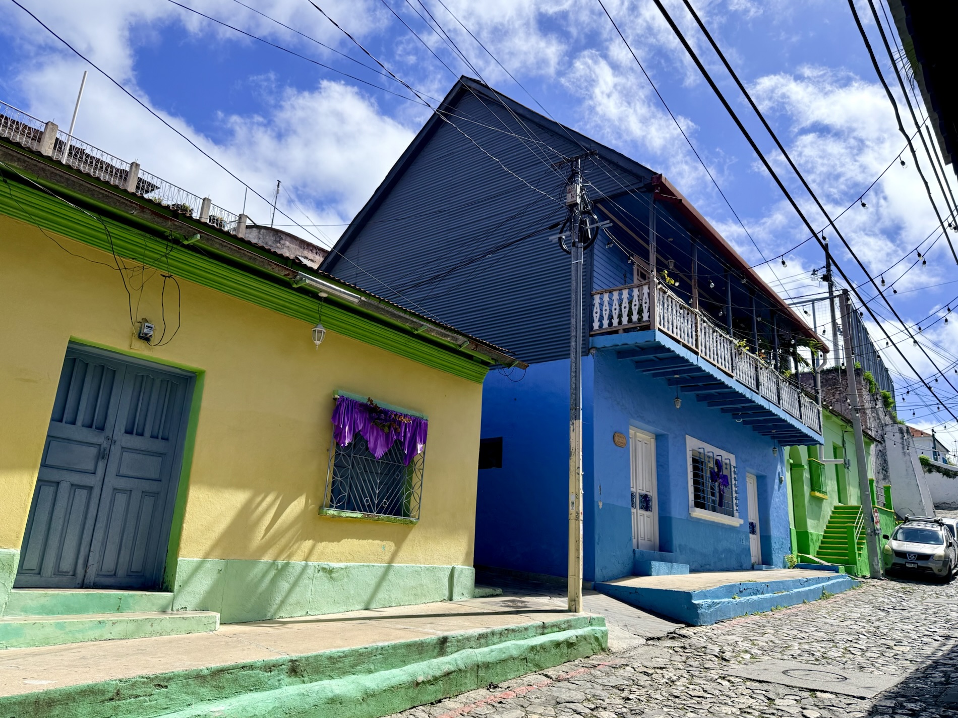
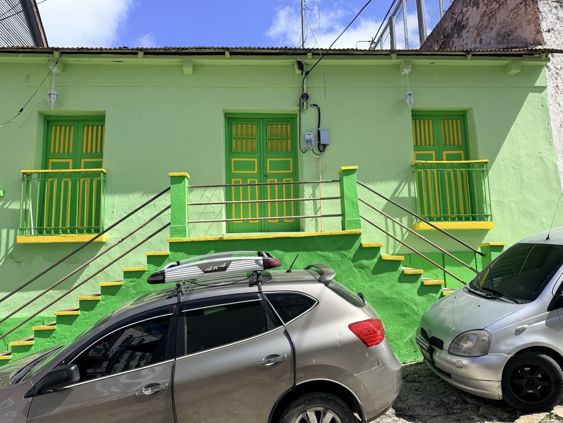
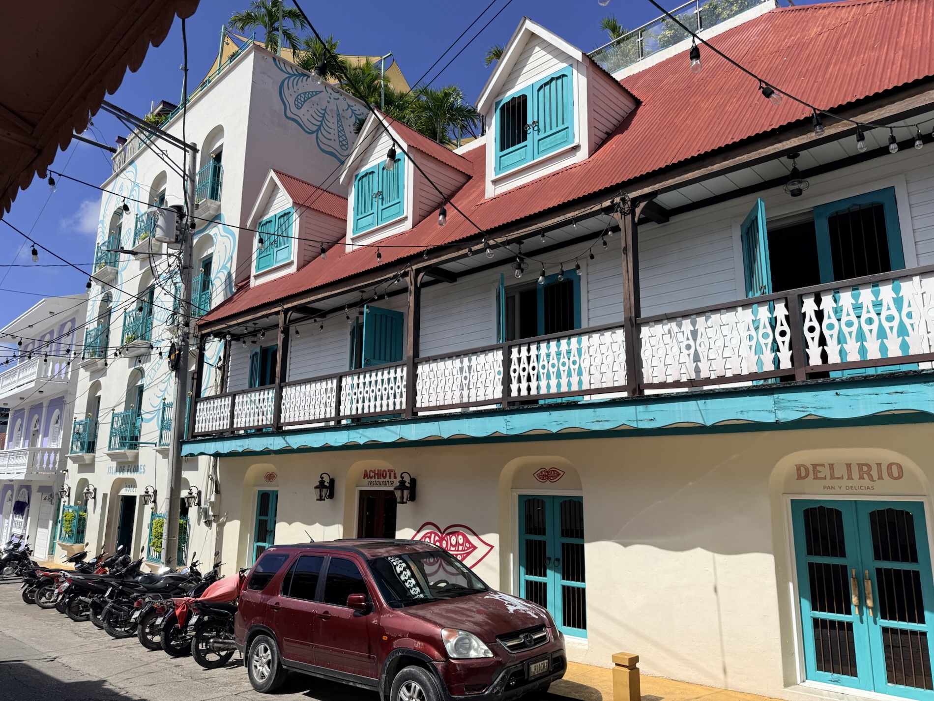
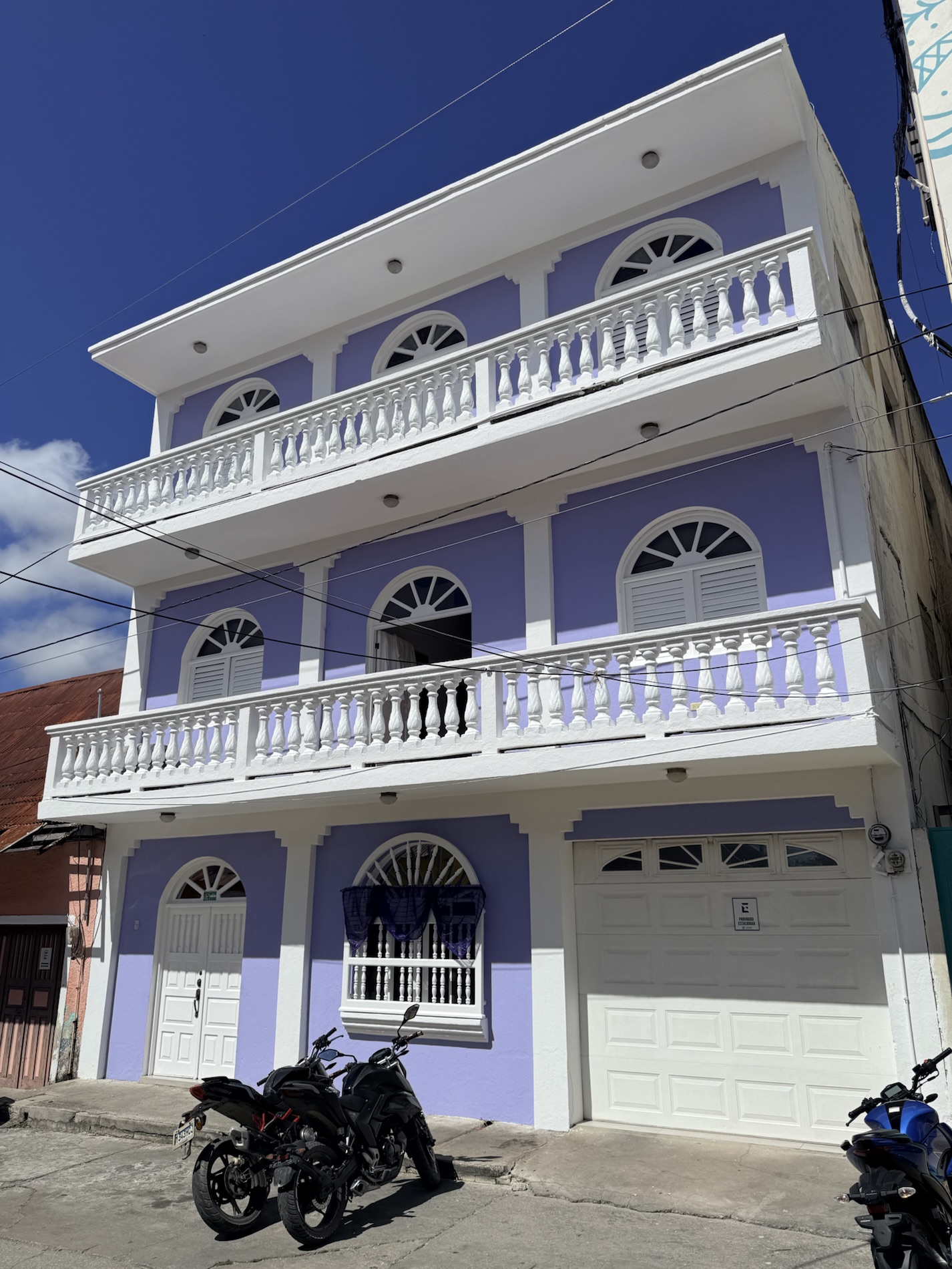
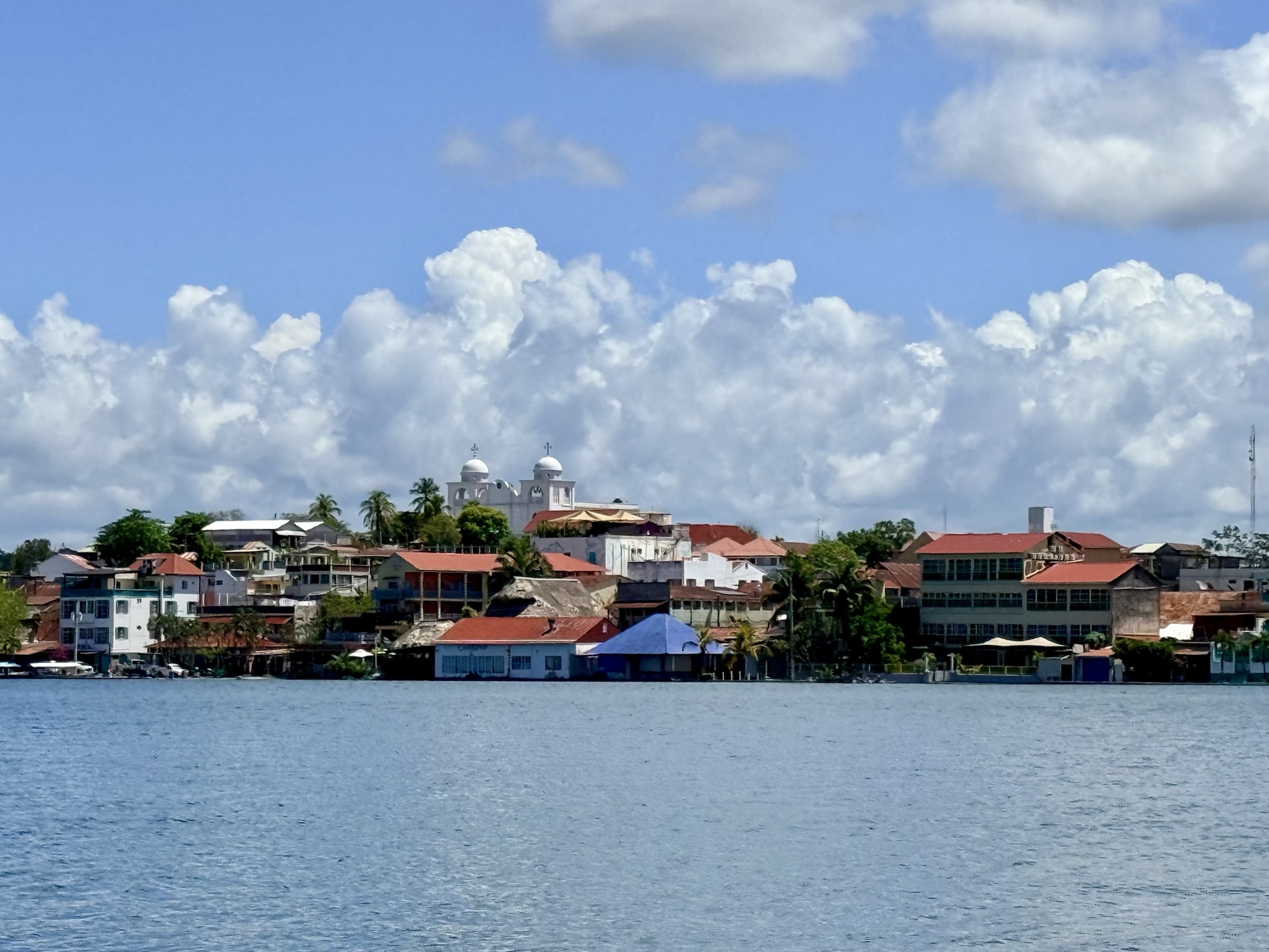
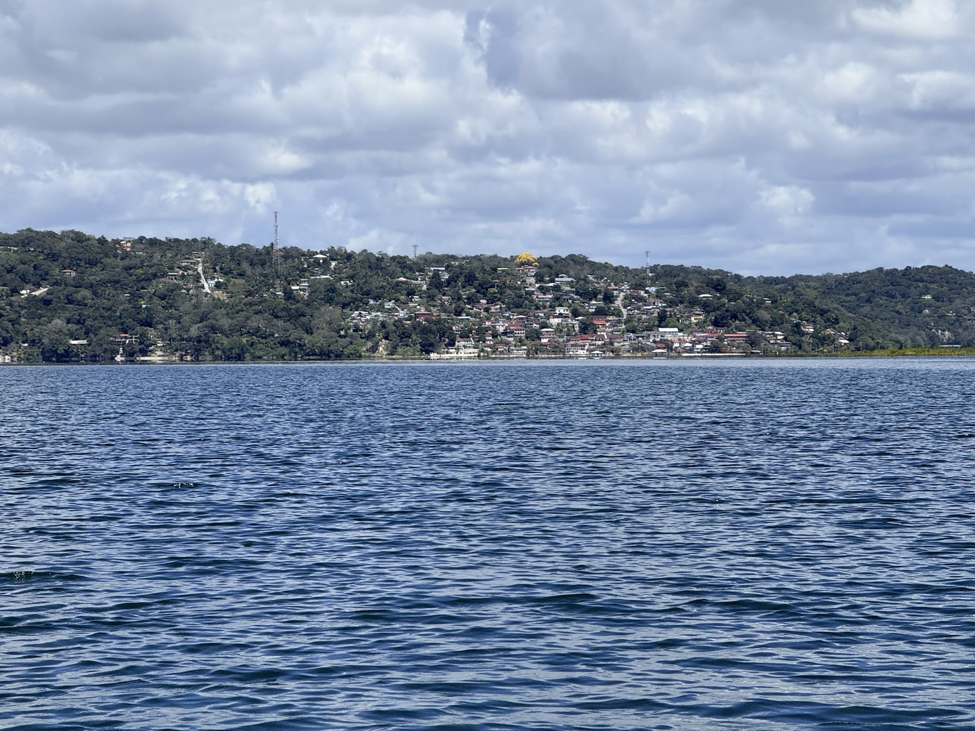
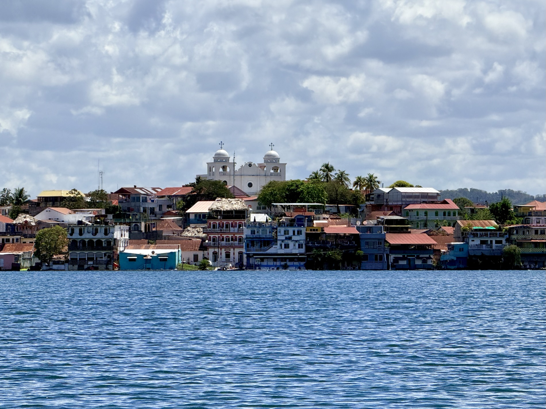
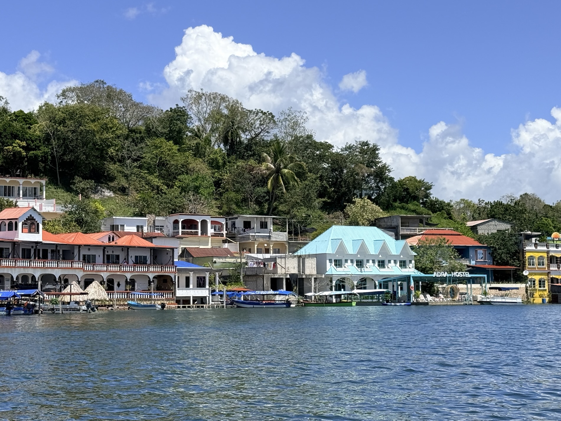
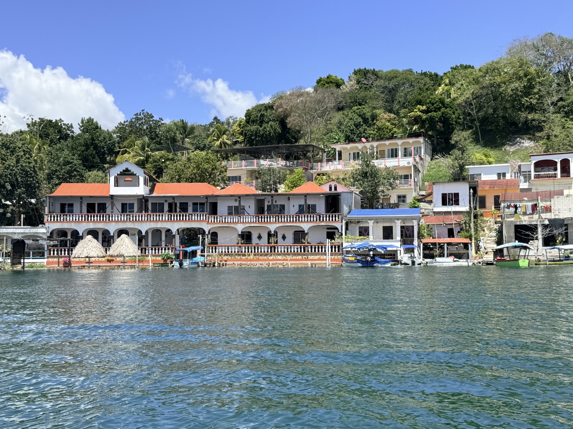
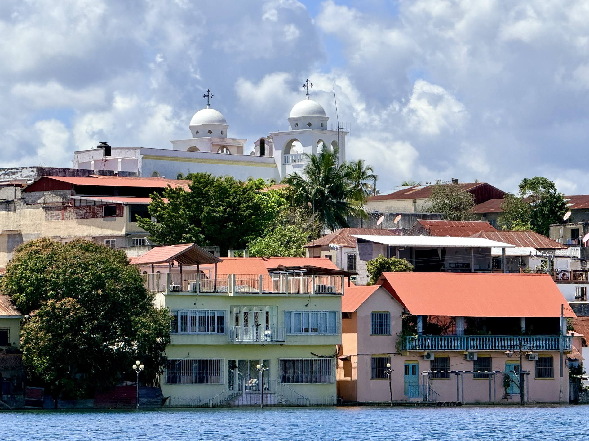
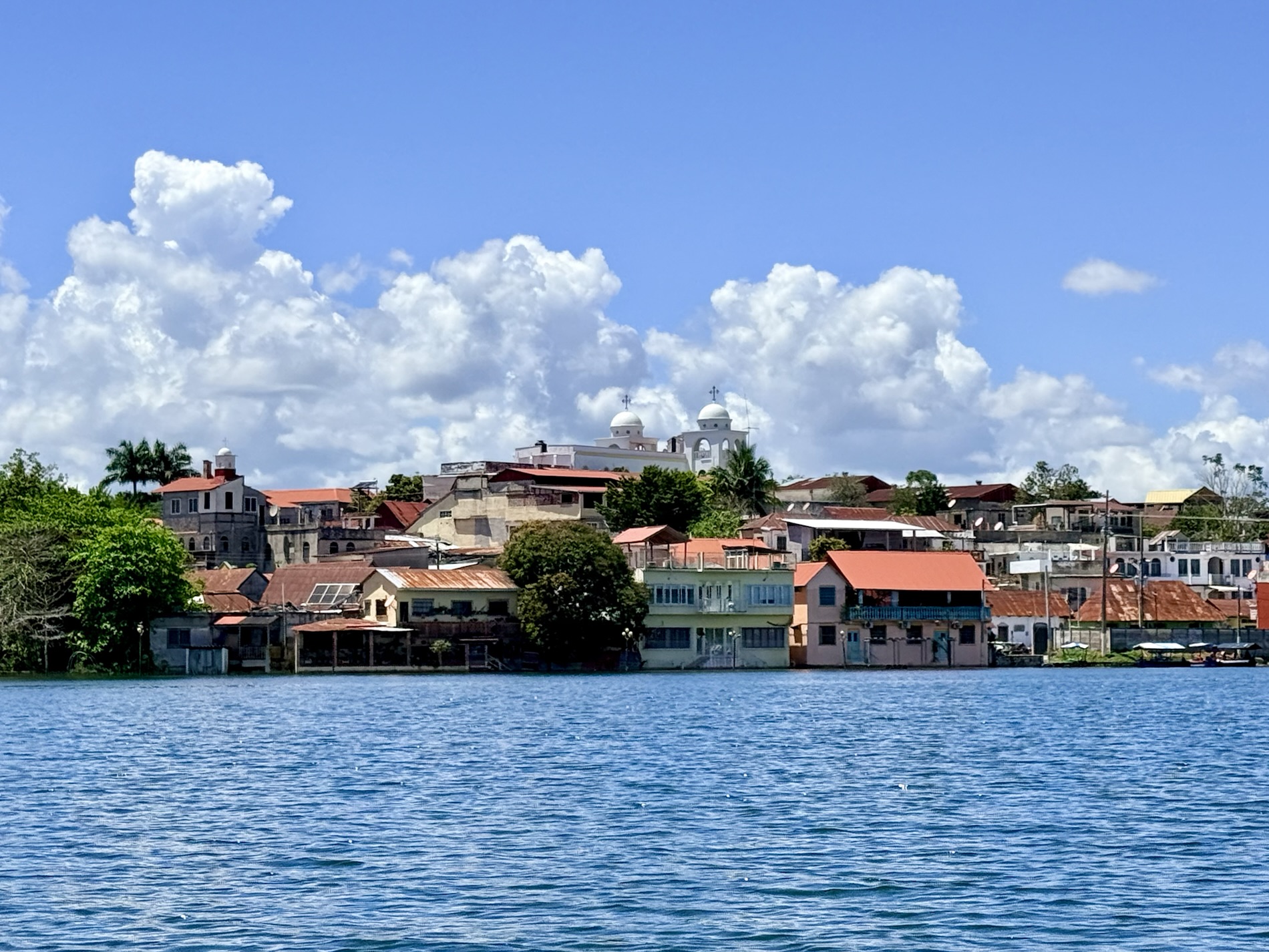
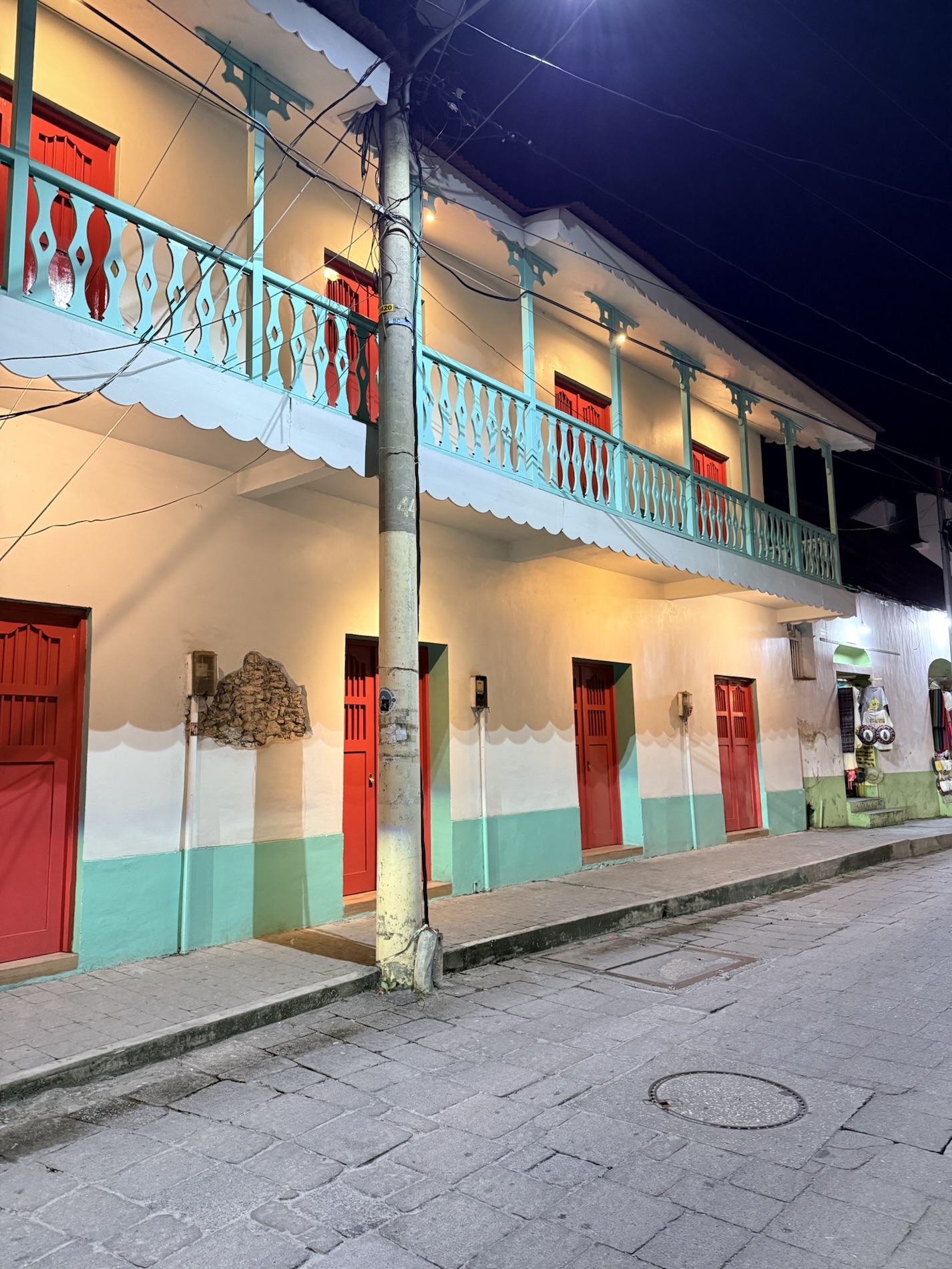
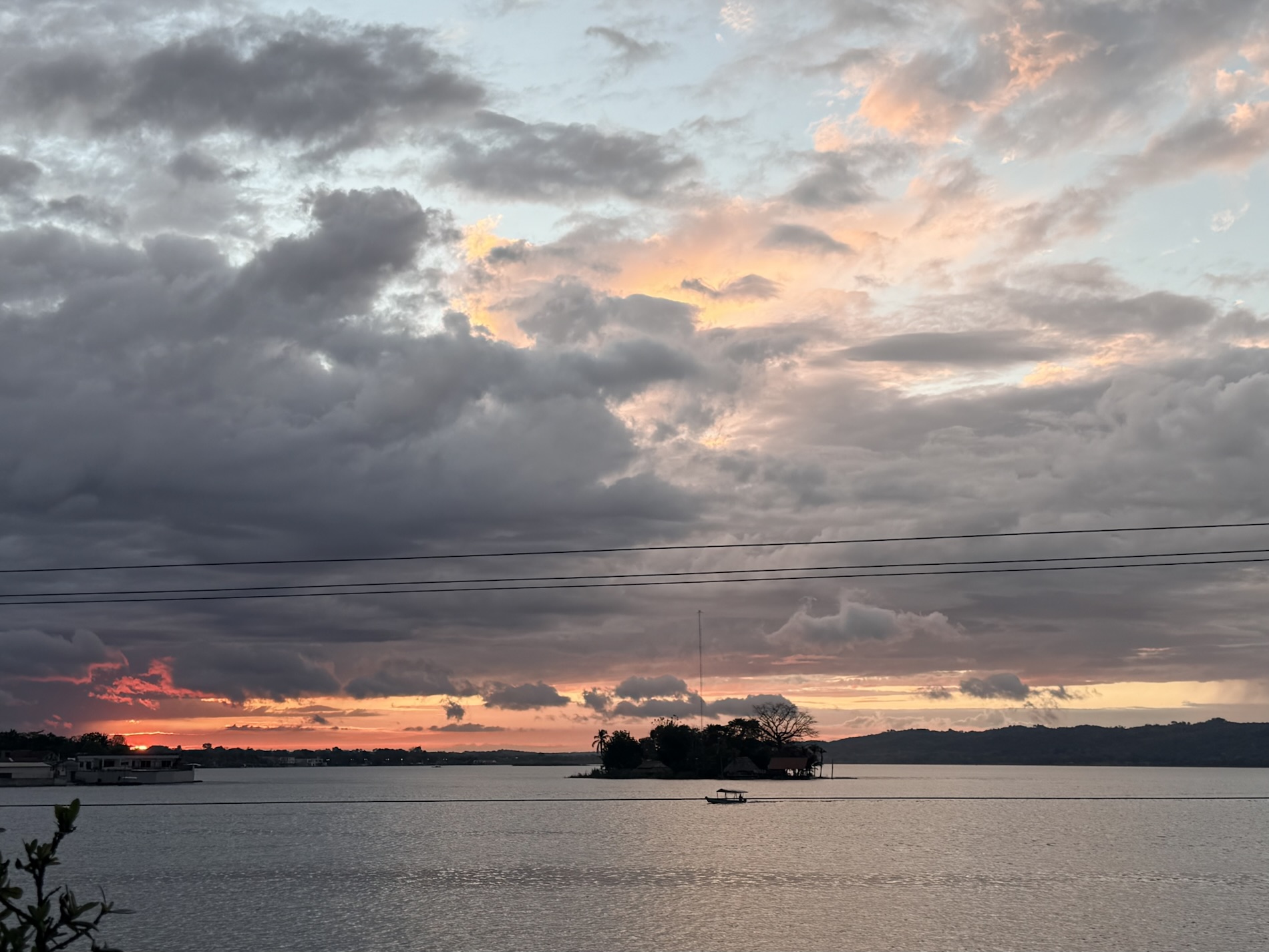
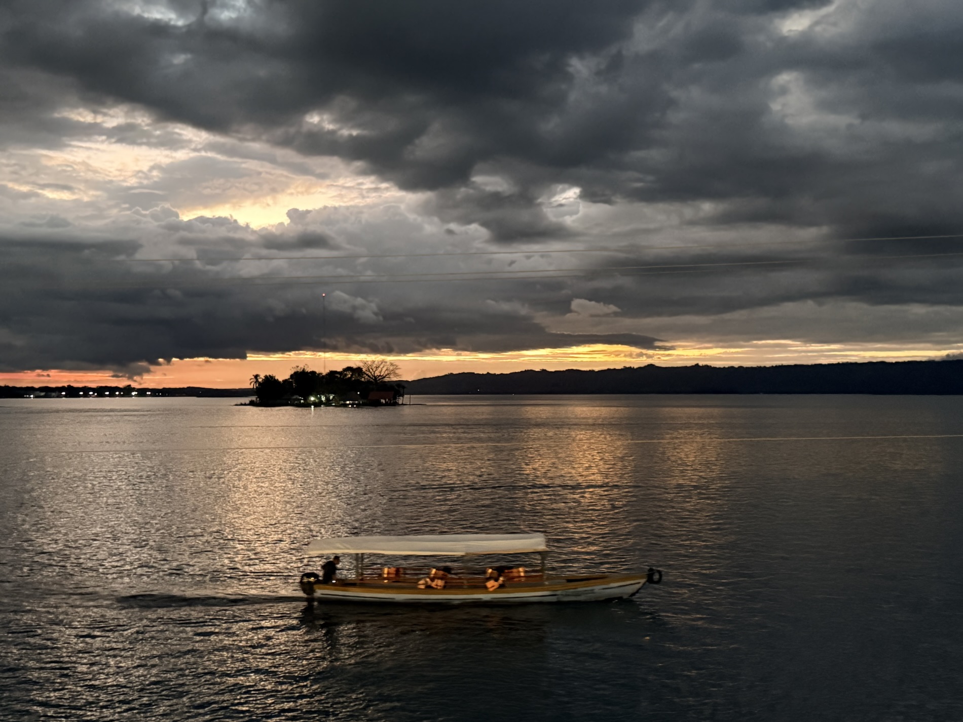
I learned that Flores is a town in Petén Department’s northern region that sits prettily on an island on Lake Petén Itzá. It is a town of pastel-painted houses and businesses, cobbled streets, and souvenir shops, and is the gateway town to the Mayan ruins of Tikal. It is the second continuously inhabited settlement in the Americas after Cholula in Puebla, Mexico. It was the last Maya city to fall to the Spanish in 1679, at which time, whoever wasn’t slaughtered fled into the jungle. The Spanish destroyed the city and built the new city of Flores on top.
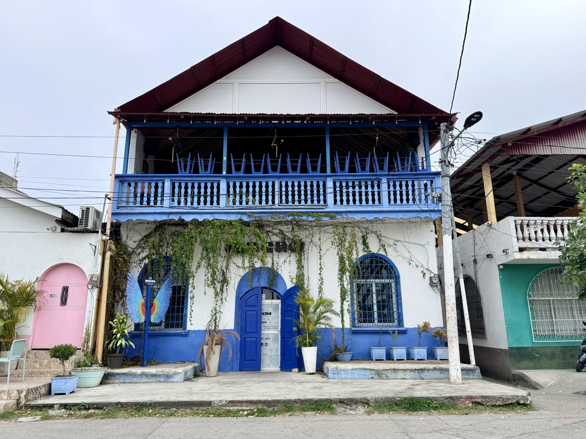
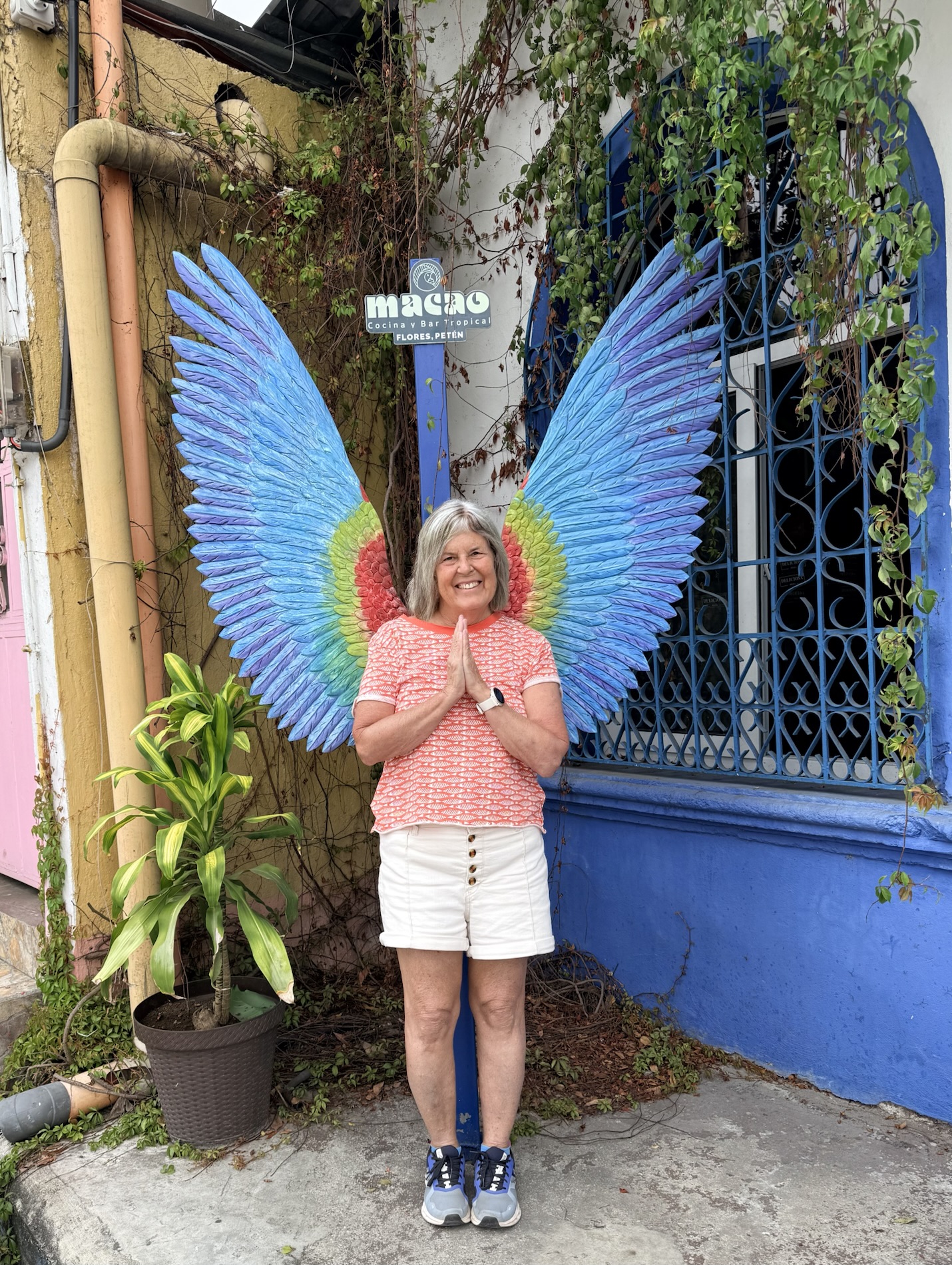
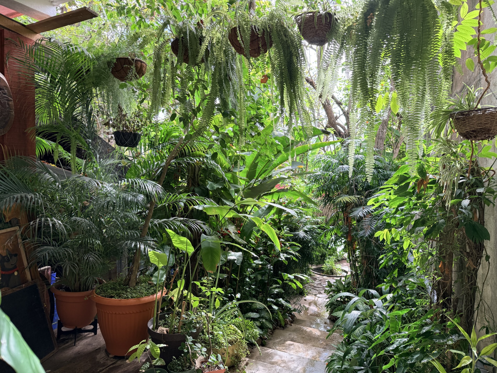
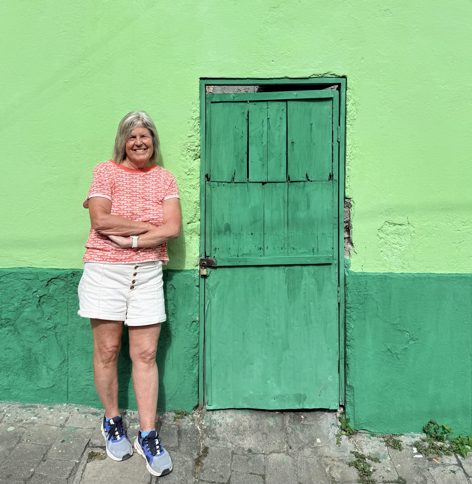
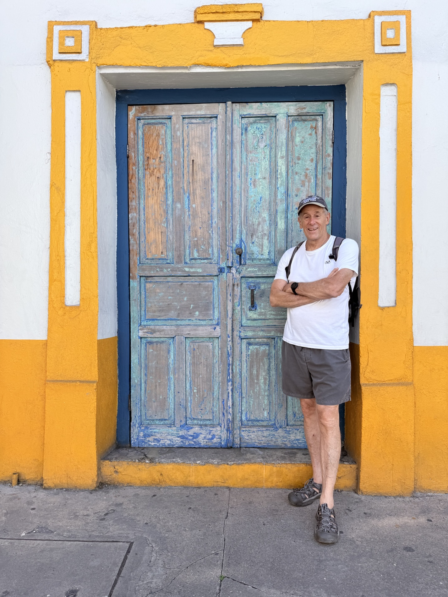
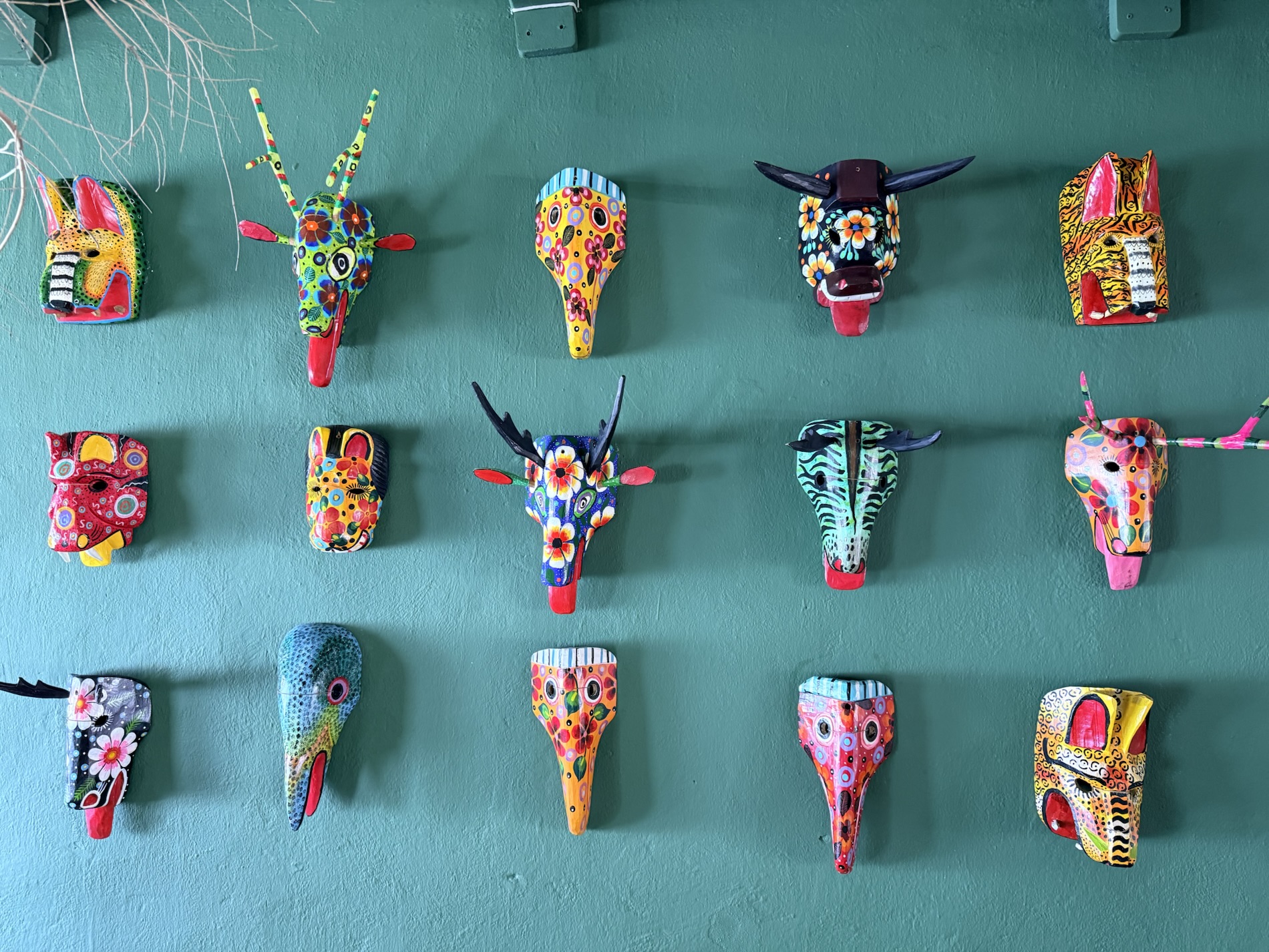
I learned, although I’ve actually always known, that I love taking photos of colorful things. And I’m easily charmed by anything colorful, especially murals, pastel-painted buildings, textiles, paintings, and local markets.
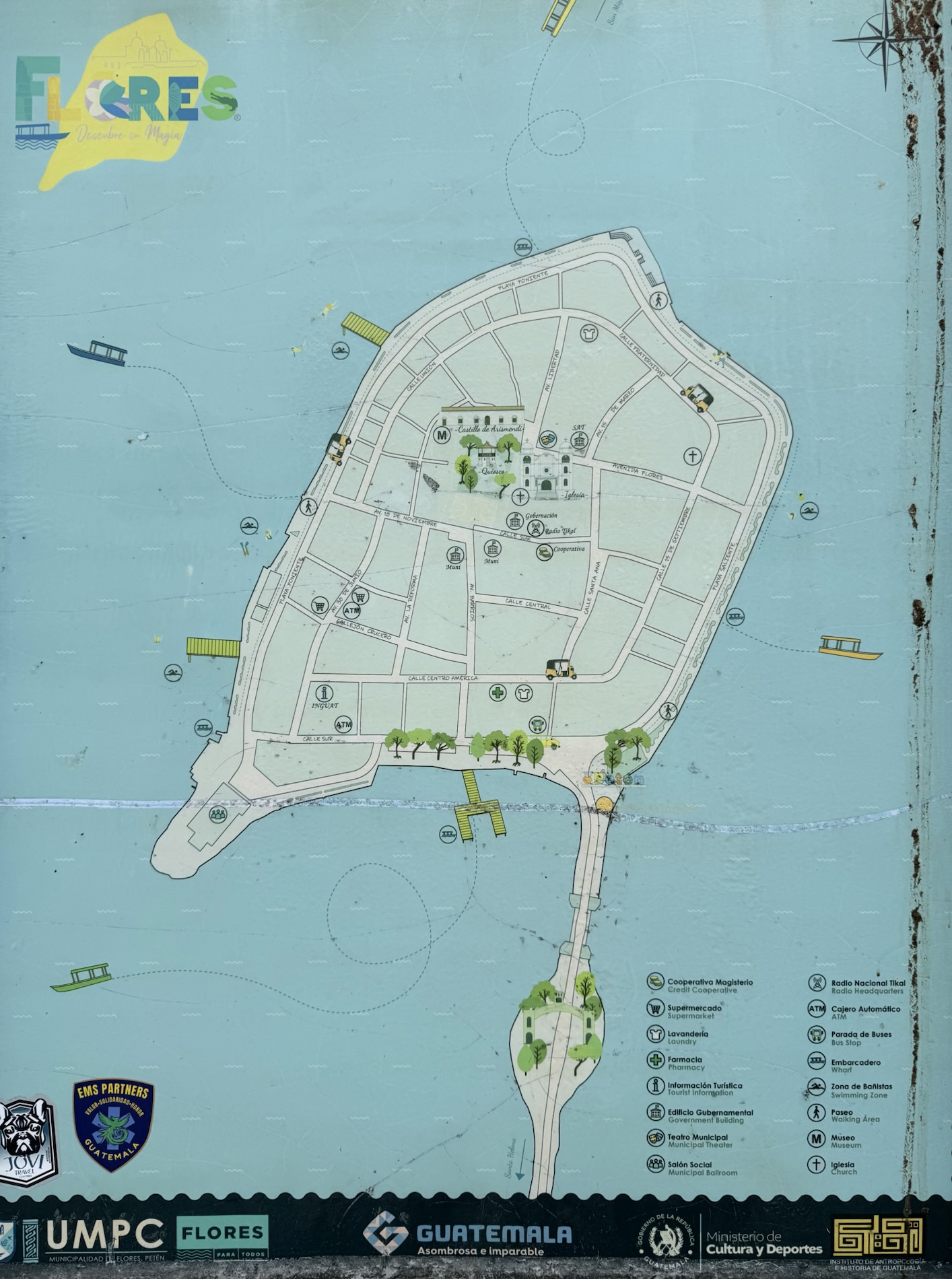

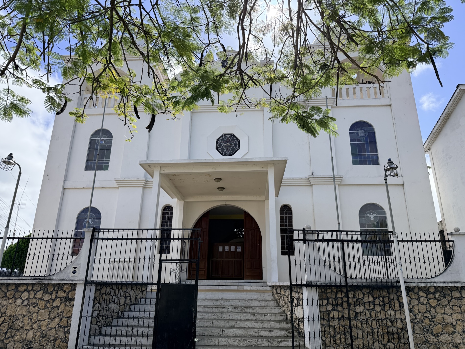
I learned that there is one hill in Flores, and that steep streets lead to the white twin-domed Catedral Nuestra Señora de Los Remedios y San Pablo Itzá, which hosts a rare Cristo Negro (Black Christ). I learned that this church was built on the site of an original Mayan temple in 1718 following the Spanish conquest of Tayasal.
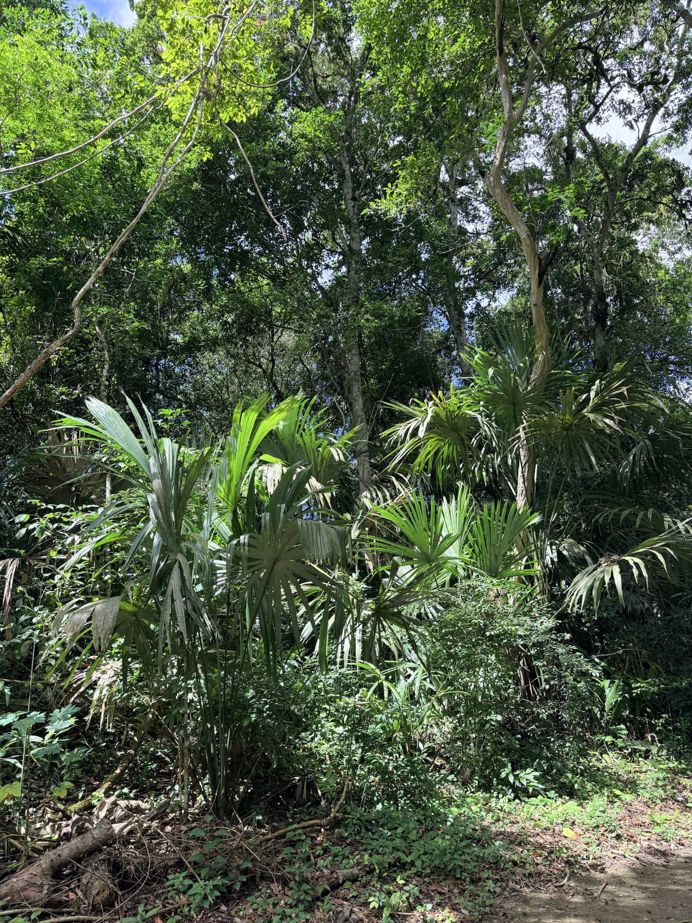
I learned that the Petén Department of Guatemala accounts for a third of Guatemala’s area and has a tropical monsoon climate. It is bordered on the east by Belize and by Mexico with the Mexican states of Chiapas to the west, Tabasco to the northwest, and Campeche to the north. It is a densely forested low-lying limestone plain with small rivers and low-lying seasonal swamps. A broad savannah extends south of the central lakes which features a compact clay soil too poor to support heavy cultivation. The savannah is surrounded by hills covered in dense tropical forest.
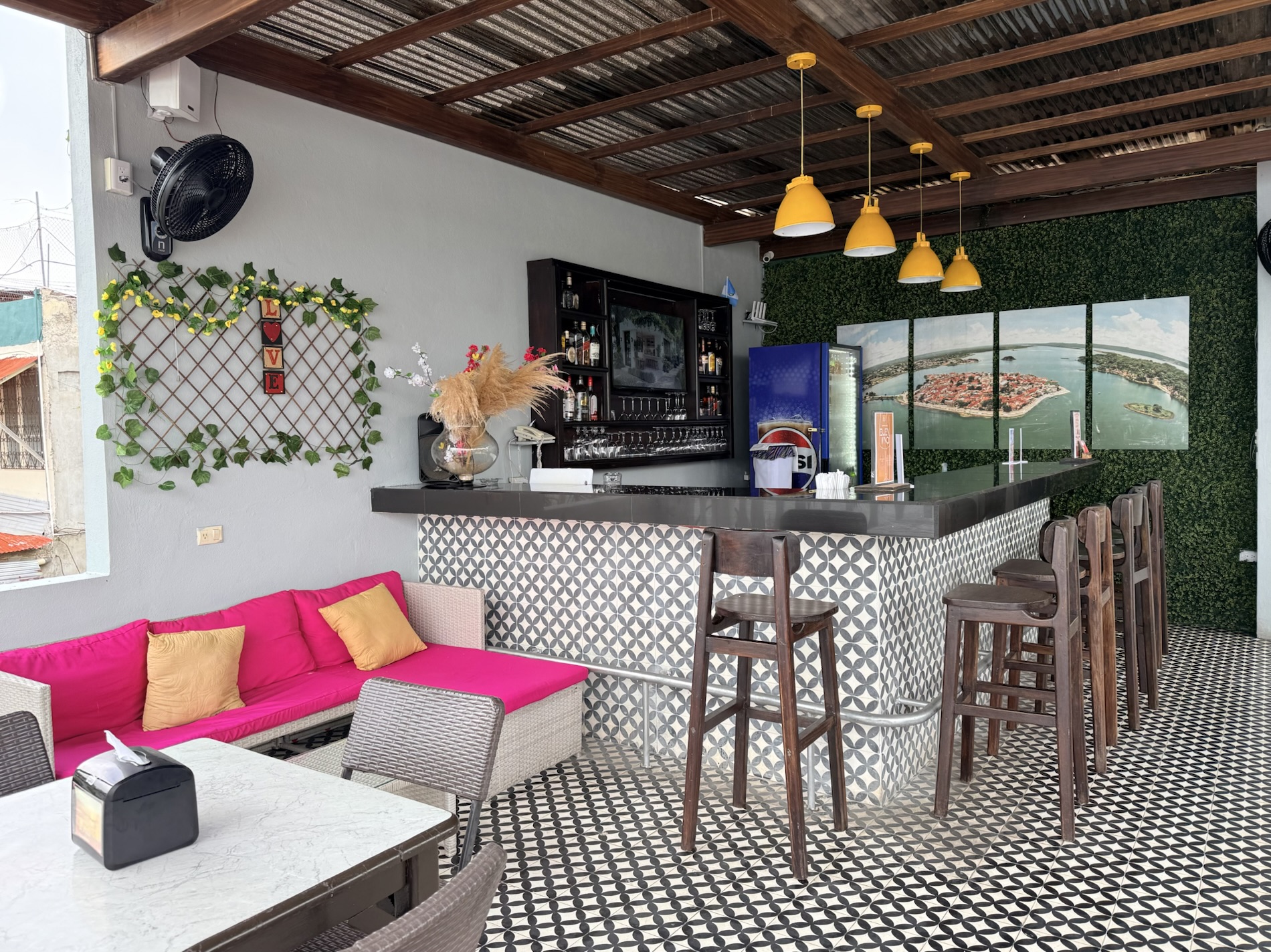
I learned that we don’t care for apartments with no windows or natural light, or ones that lack air-conditioning in common areas. I learned that I get annoyed with 3:00 check-ins and hotels that really stick to that time. I also learned that I felt more relaxed on this trip because I didn’t post on Instagram, but then I didn’t use my time to write either. I remembered that in the days when I traveled alone, I always spent time in the evenings writing in my journal, but when I travel with Mike, I either read or watch TV. This was one of the few places where we had streaming services, so we watched Virgin River and Emily in Paris.
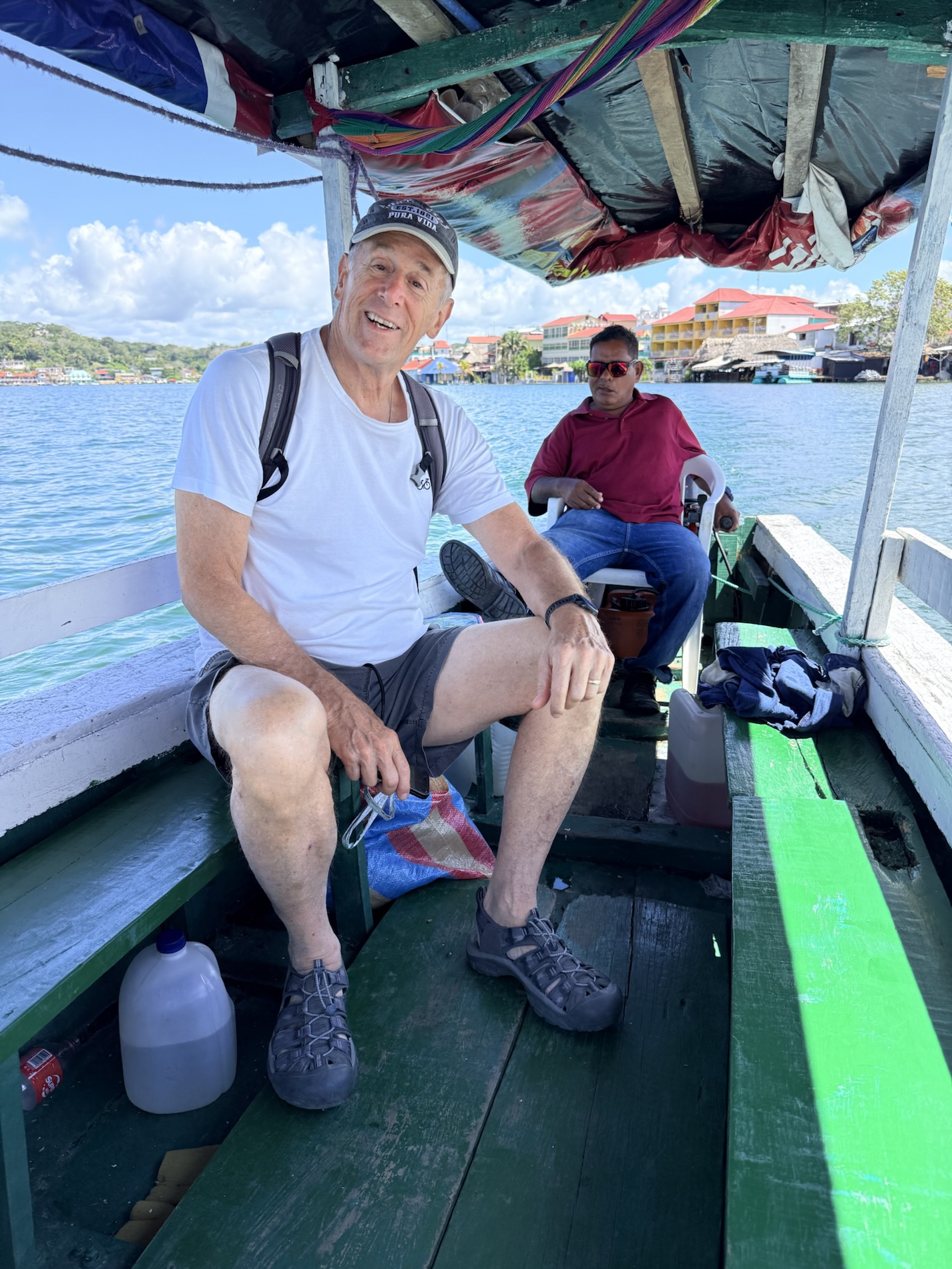
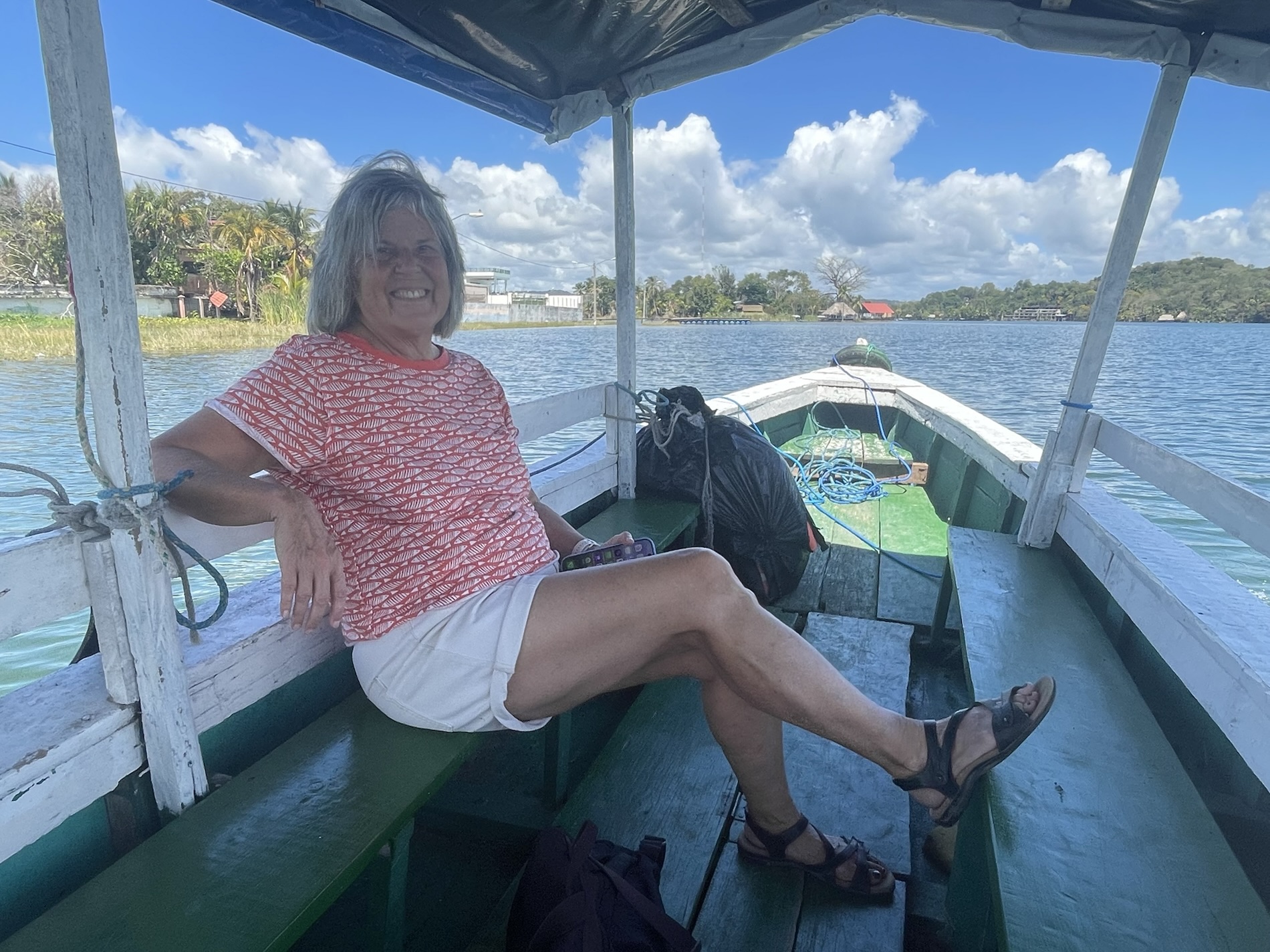
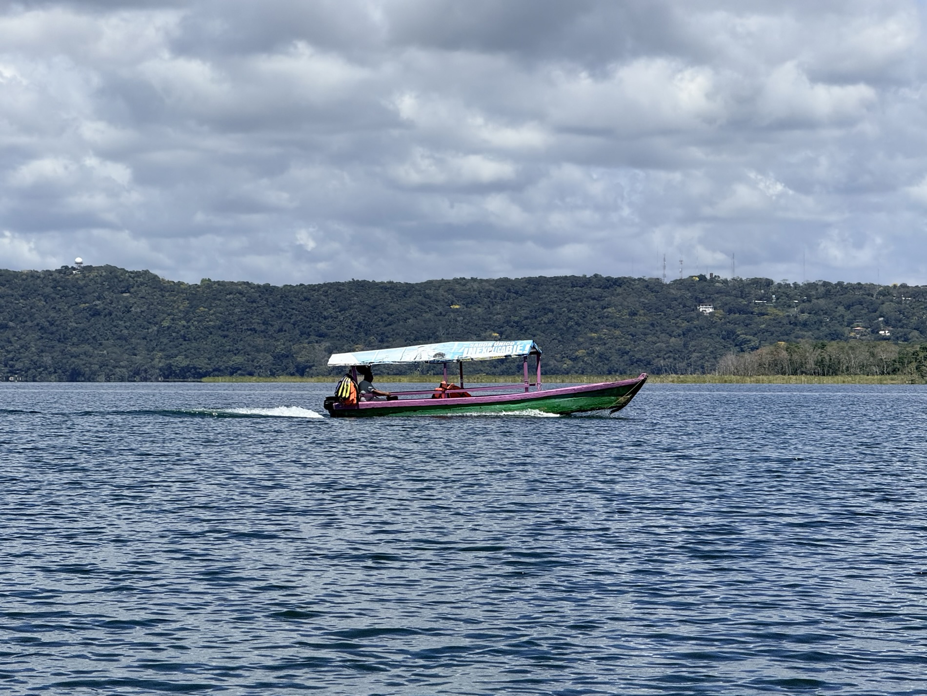
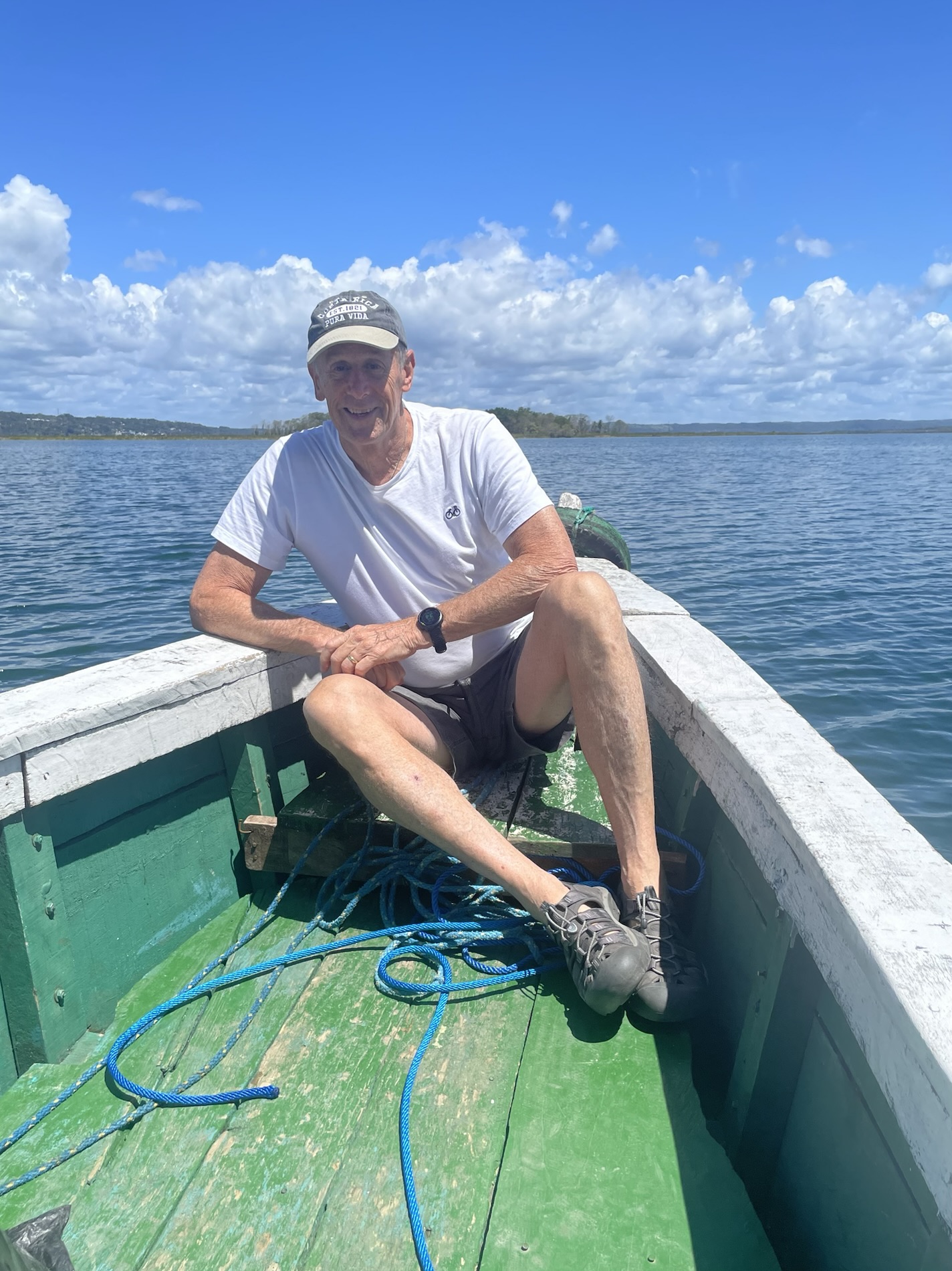
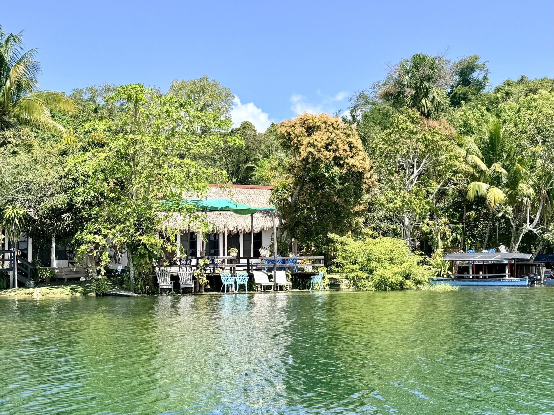
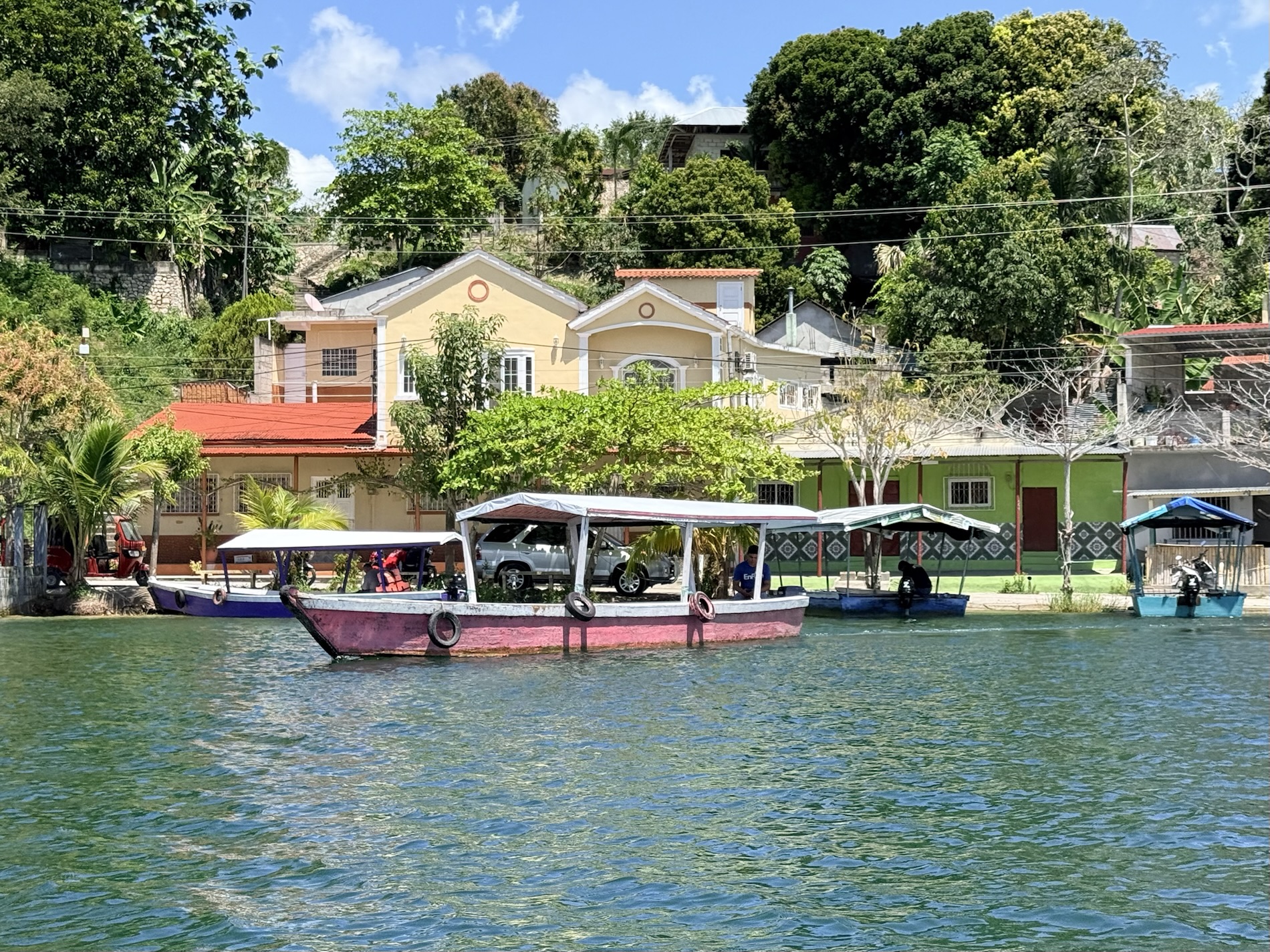
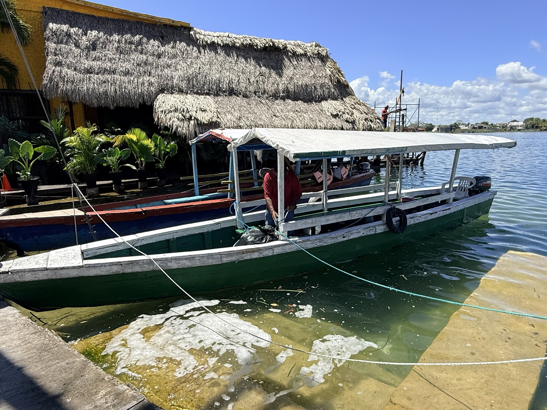
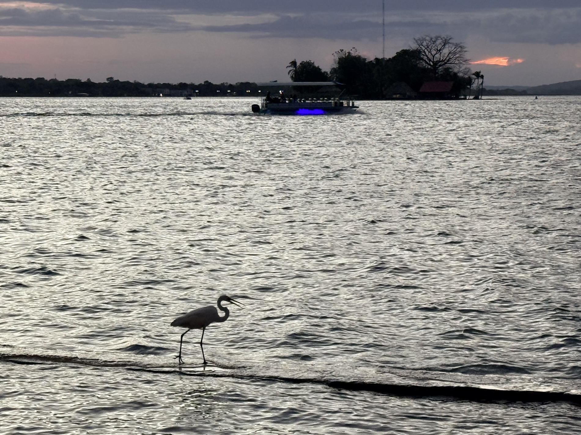
I learned that I love taking a boat ride in a lake to see cute towns from the water and to feel a cool breeze. I also love soaking in a cool pool with a beer after traipsing around sweating all day.

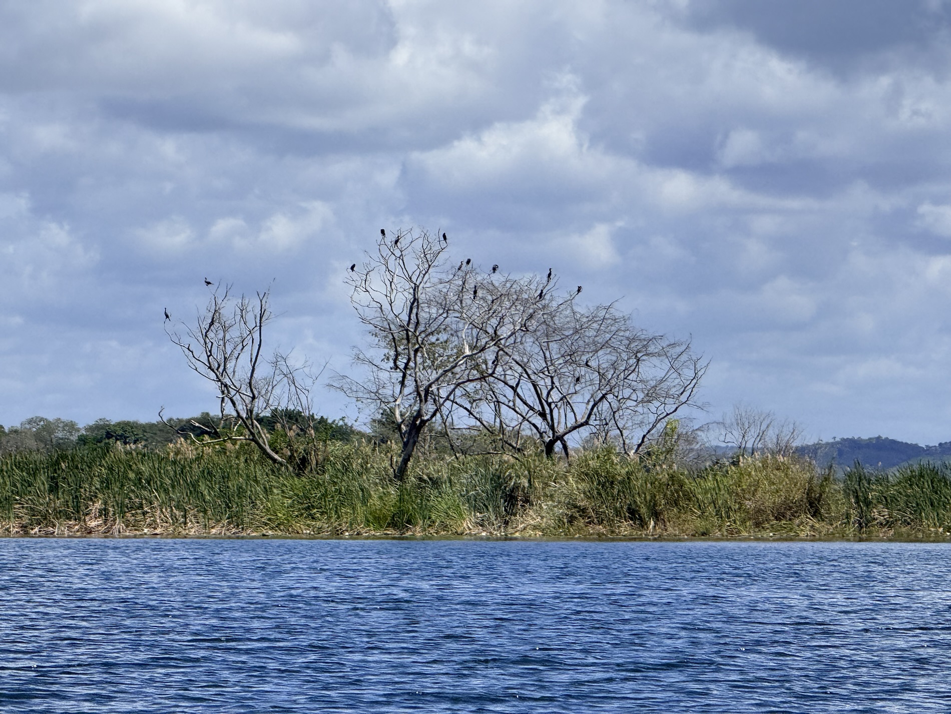
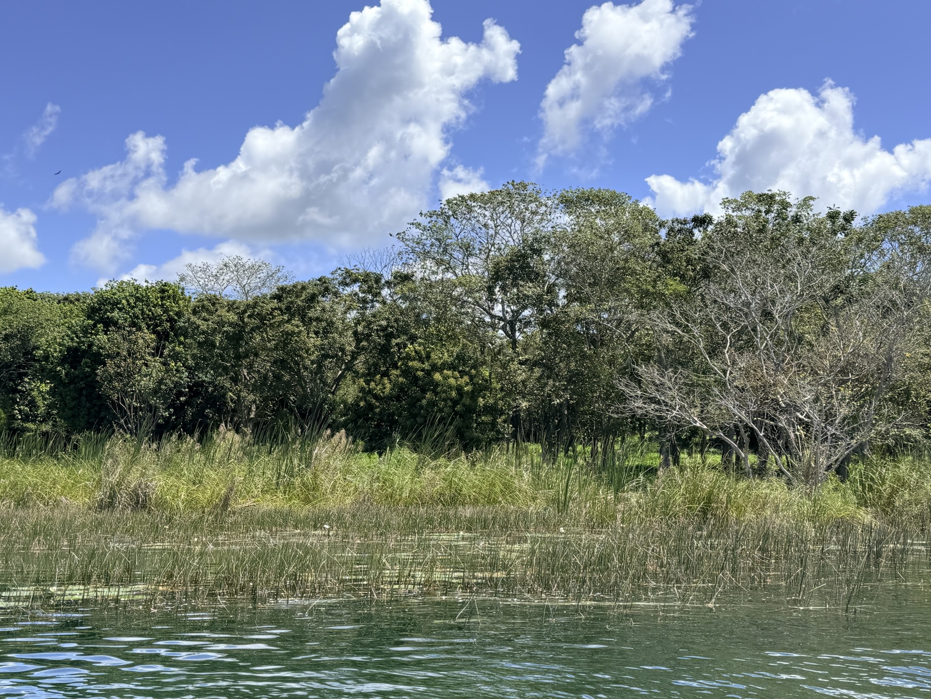
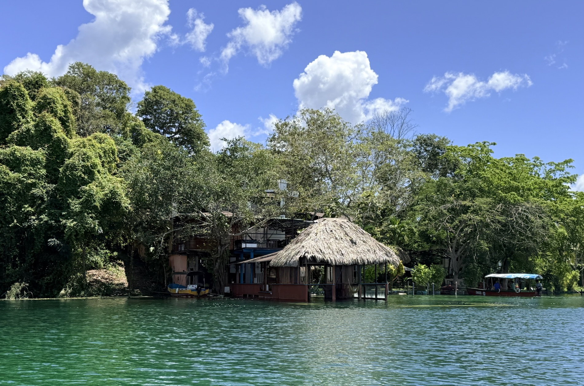
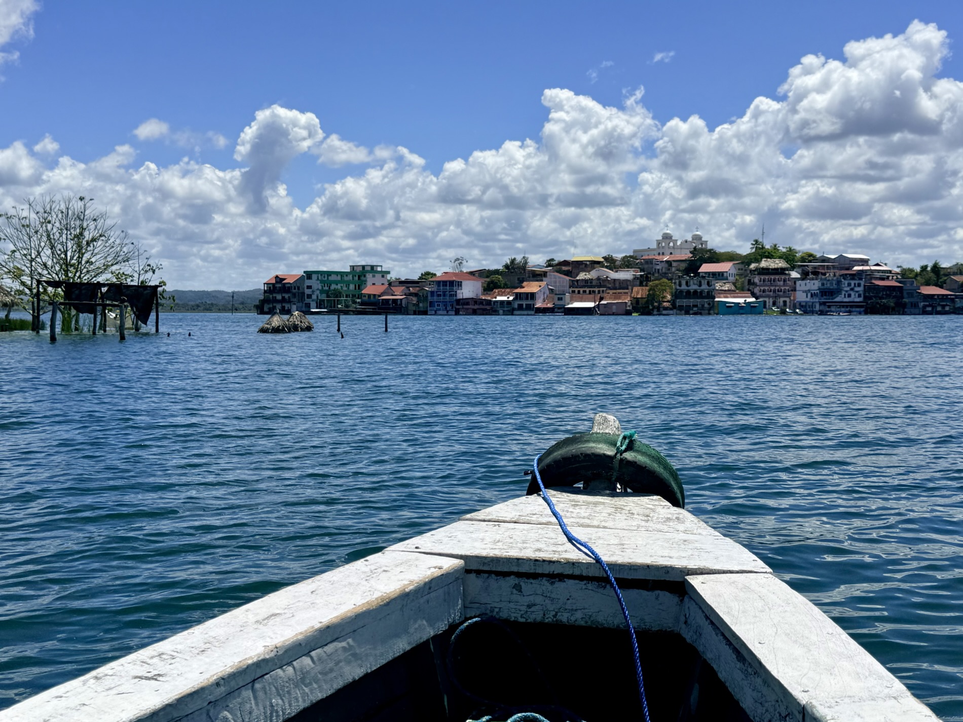
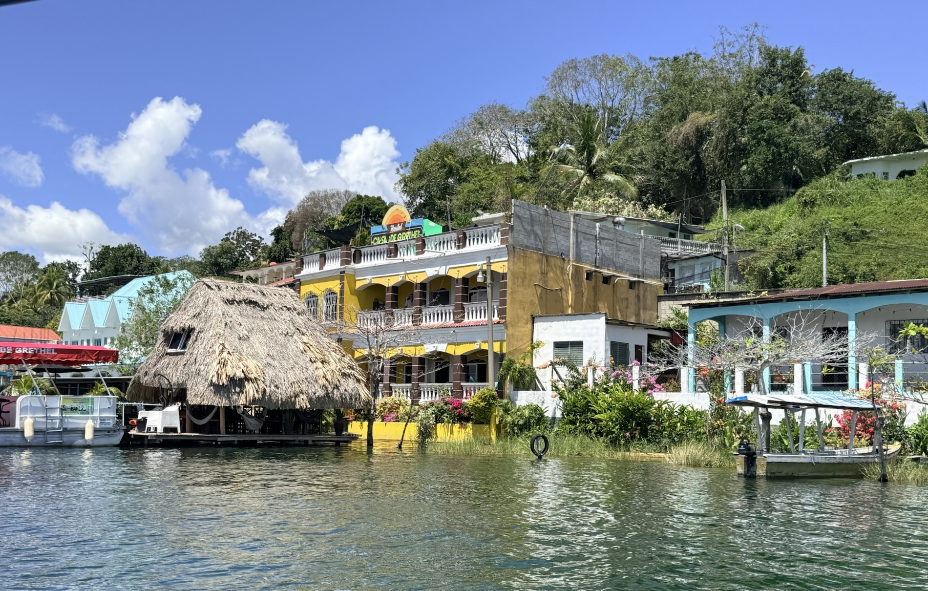
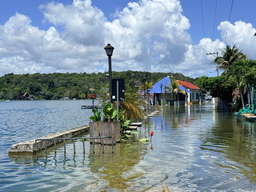
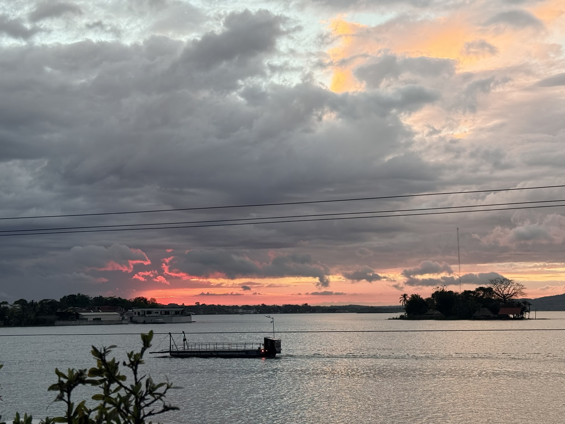
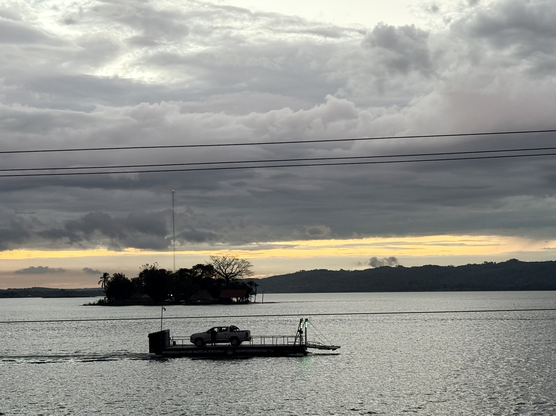
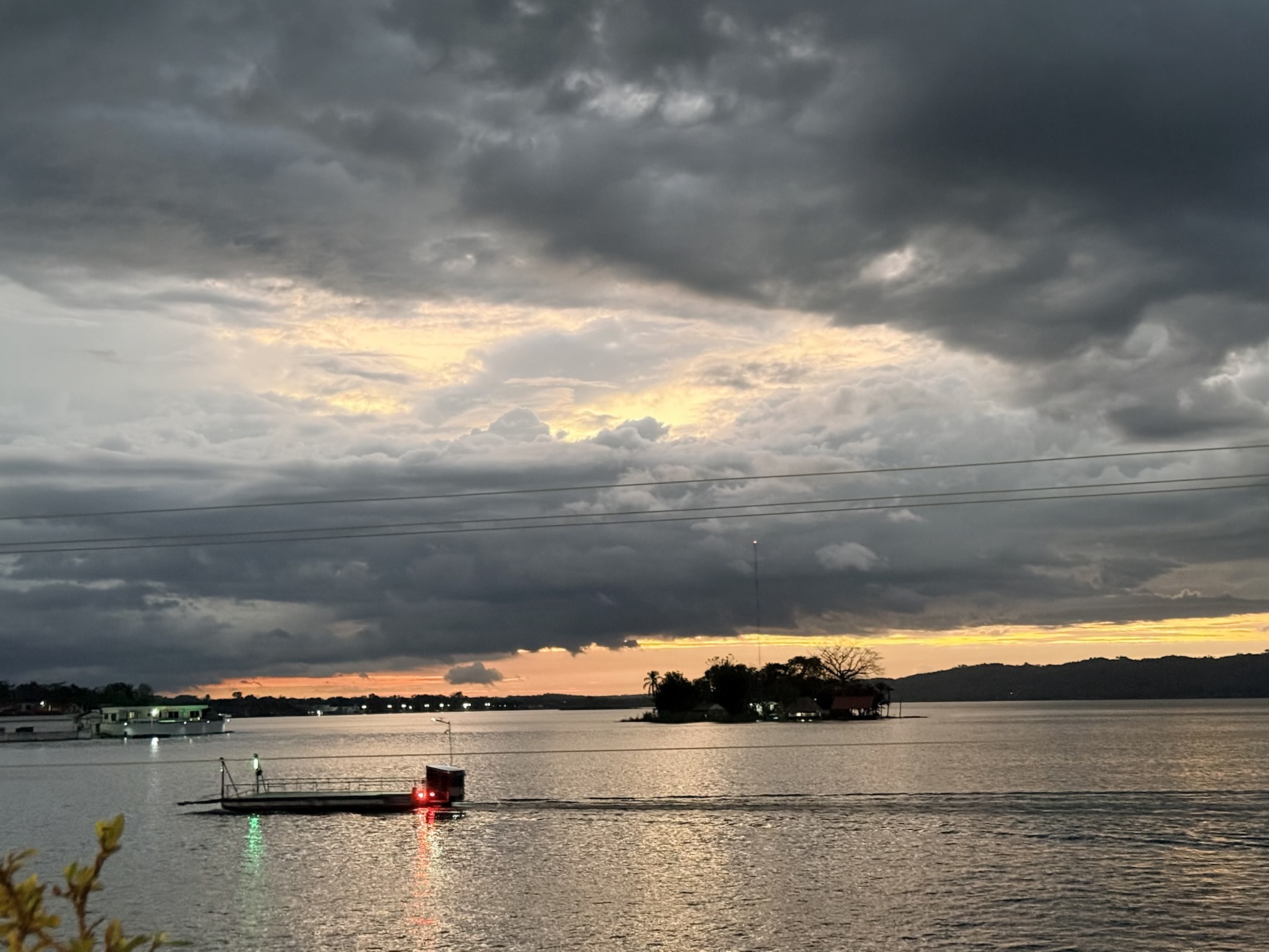
I learned that the lake was especially high after the rainy season and had flooded many businesses along the shore.
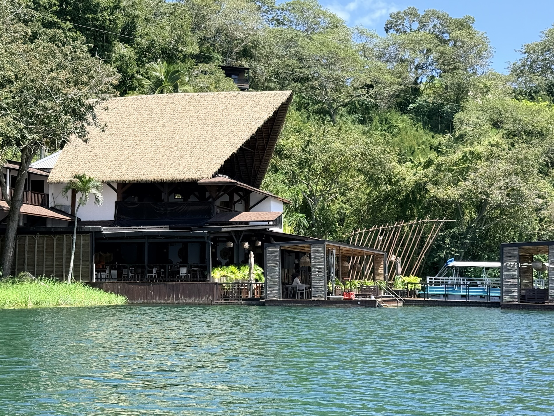
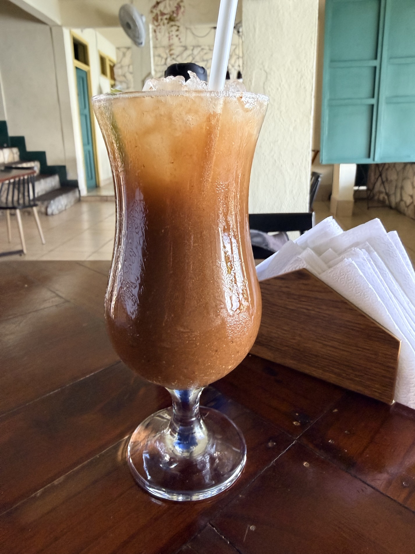
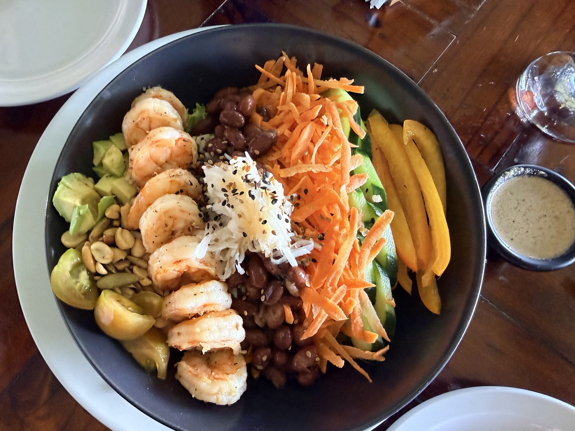
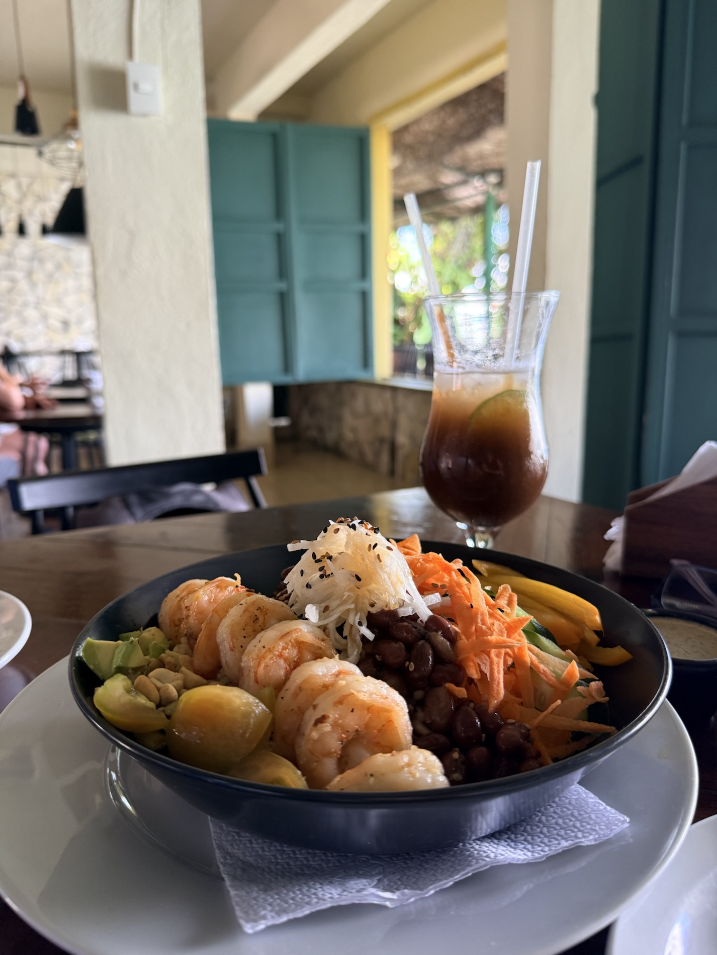
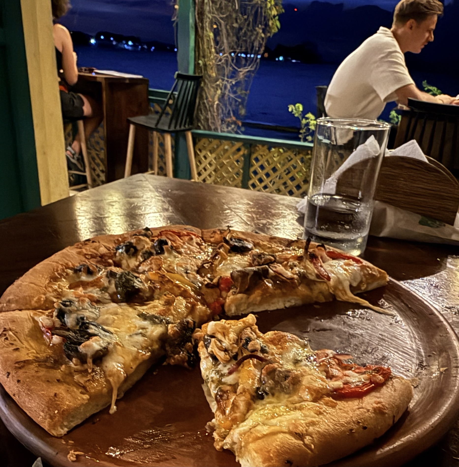
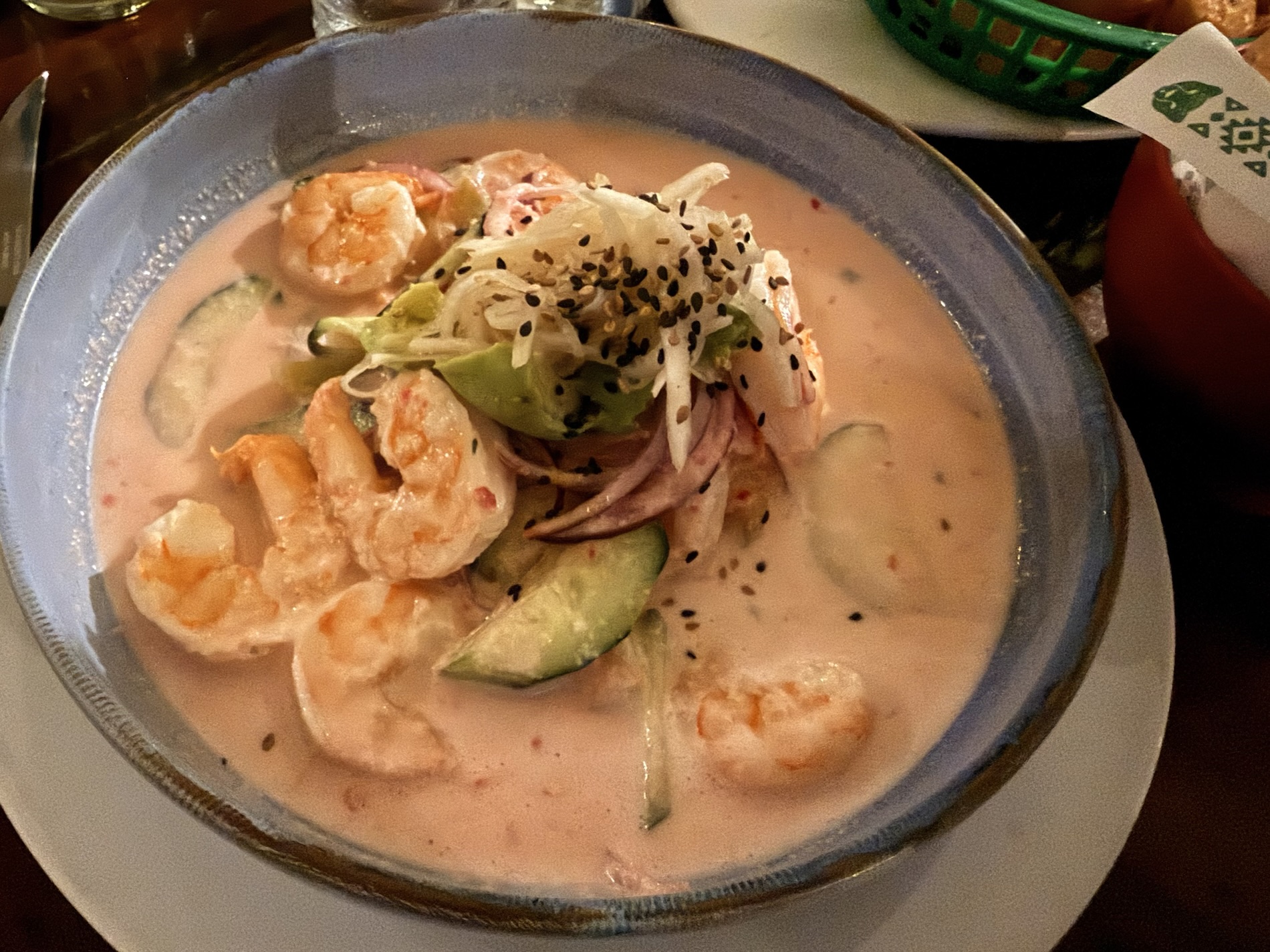
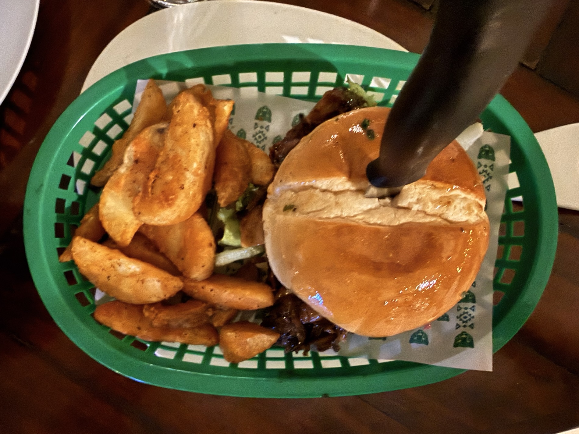
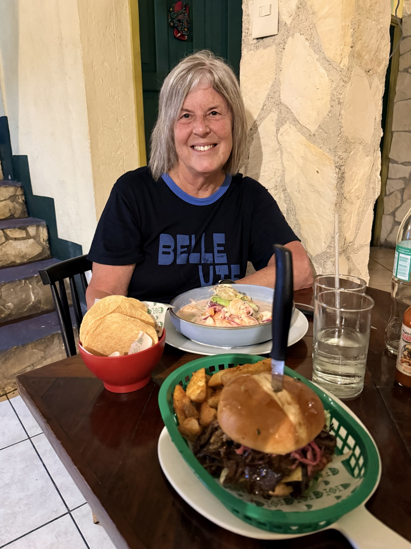
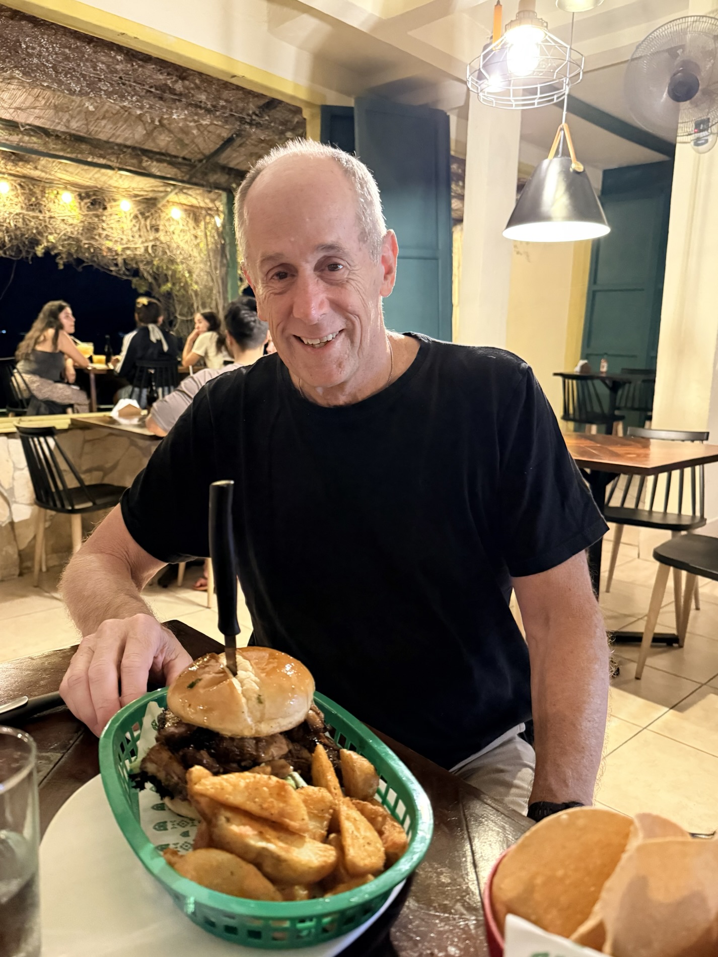
I learned that when we find a restaurant we love, we will go to it numerous times during a visit. In our case, we ate lunch and dinner at the wonderful Nativo which serves refreshing native food with a contemporary twist. At lunch, we shared a Nativo Poke Bowl with shrimp and at dinner a Chistorra Chorizo pizza. After our long hot day traipsing around Tikal, we returned one last night for dinner where I had the best ceviche I’ve ever had: Nativo’s Aguachile, with shrimp marinated in spicy Tiger milk with habañero (a typical chile of this region), cucumber, seasonal tomatoes, golden sweet potato, and avocado, served with totopostes (crunchy tortilla). Mike ate a Pulled Native Pork: Brioche bread, lettuce, house-made pork barbecue, cheese and cabbage salad. Sadly, the night was a bit ruined by an obnoxious and loud group of drunken young people who were hollering at each other over the mellow music during our entire meal.
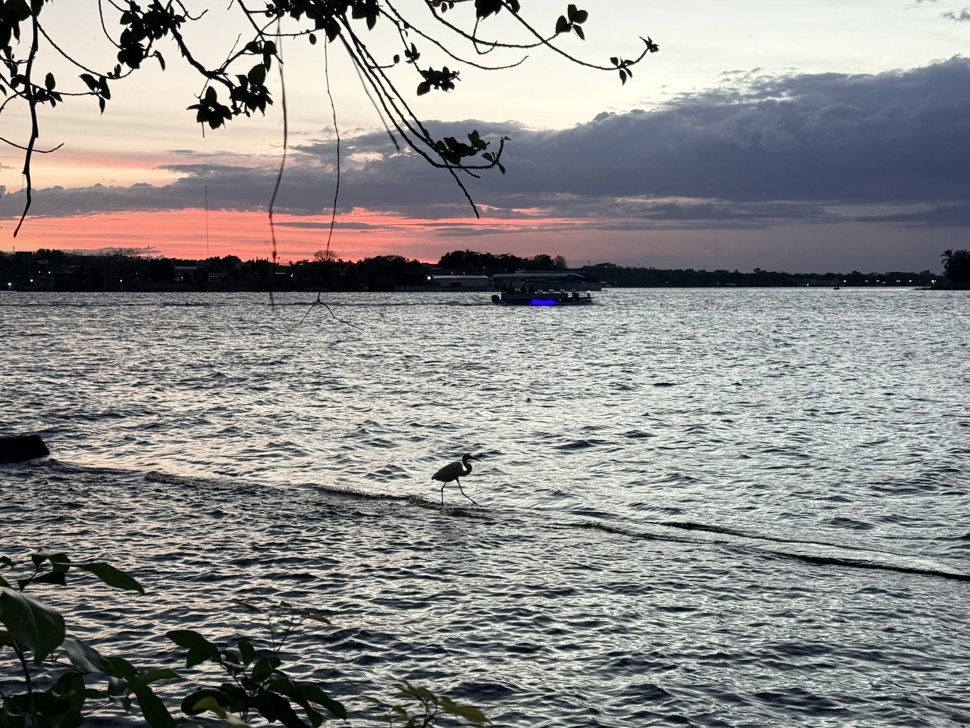
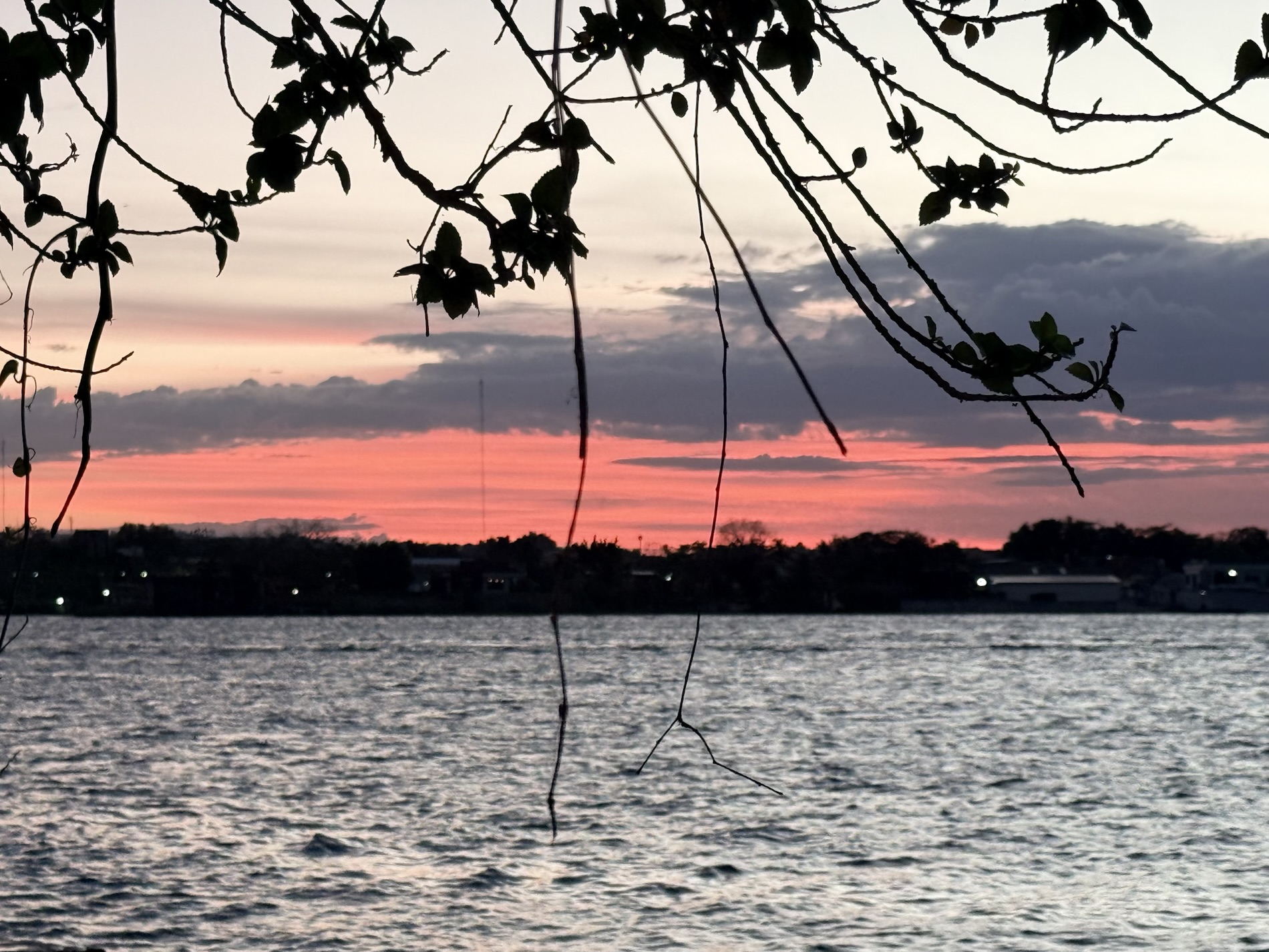
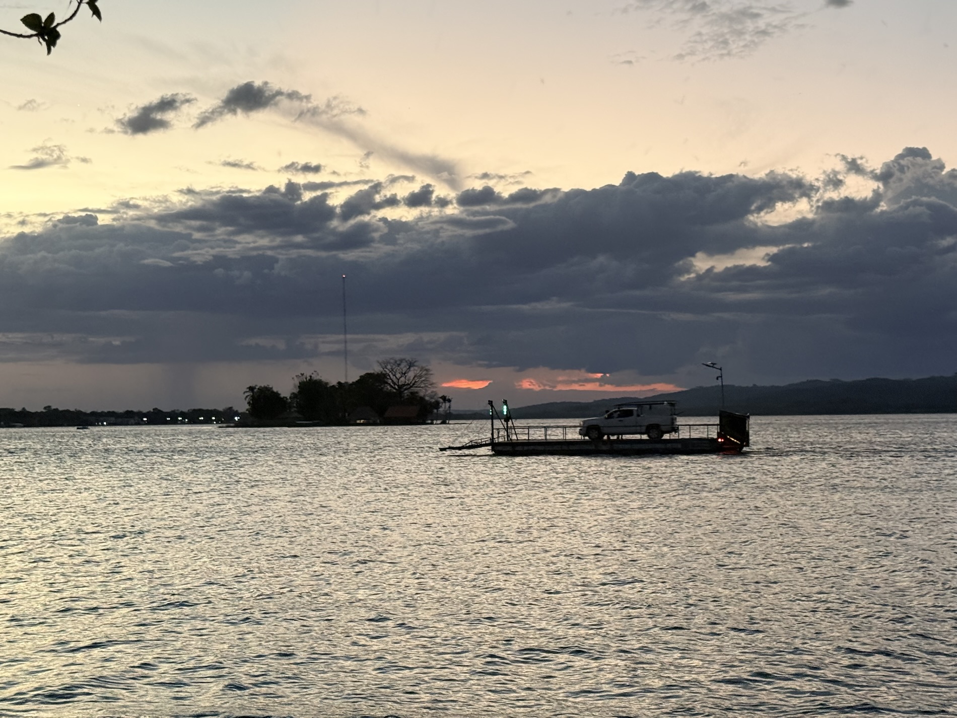
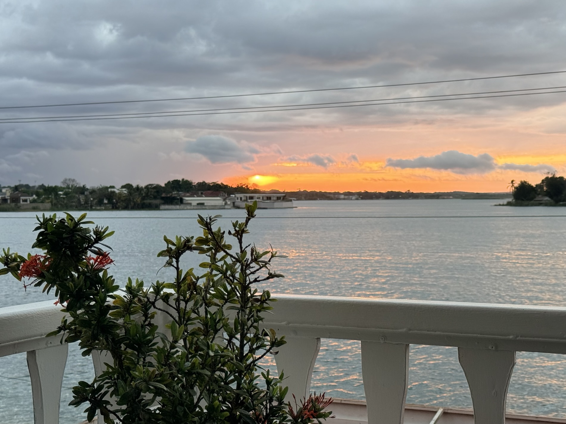
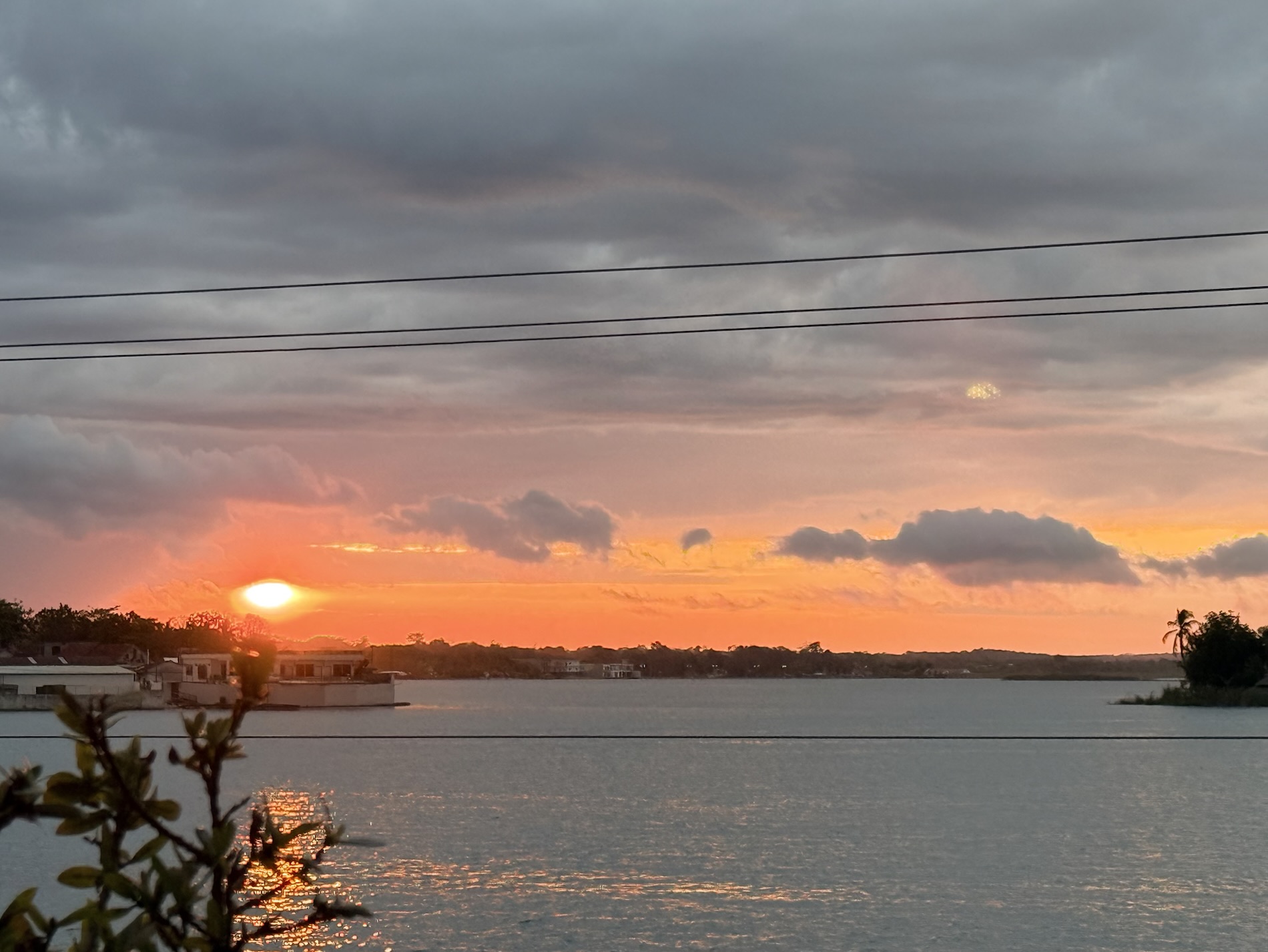
We were surprised to learn that we loved sitting in the restaurant overlooking Lake Petén Itzá and watching the small lanchas puttering past the rectangular windows as if in some video game. We were especially charmed by the ferry that engined past carrying one or two cars, with its dark profile moving across a sky unfurling with pink, purple and orange clouds at sunset.
I learned that I love nothing better than calling it a night after a tough long day, and returning to our “home away from home.”
Tikal Ruins and National Park
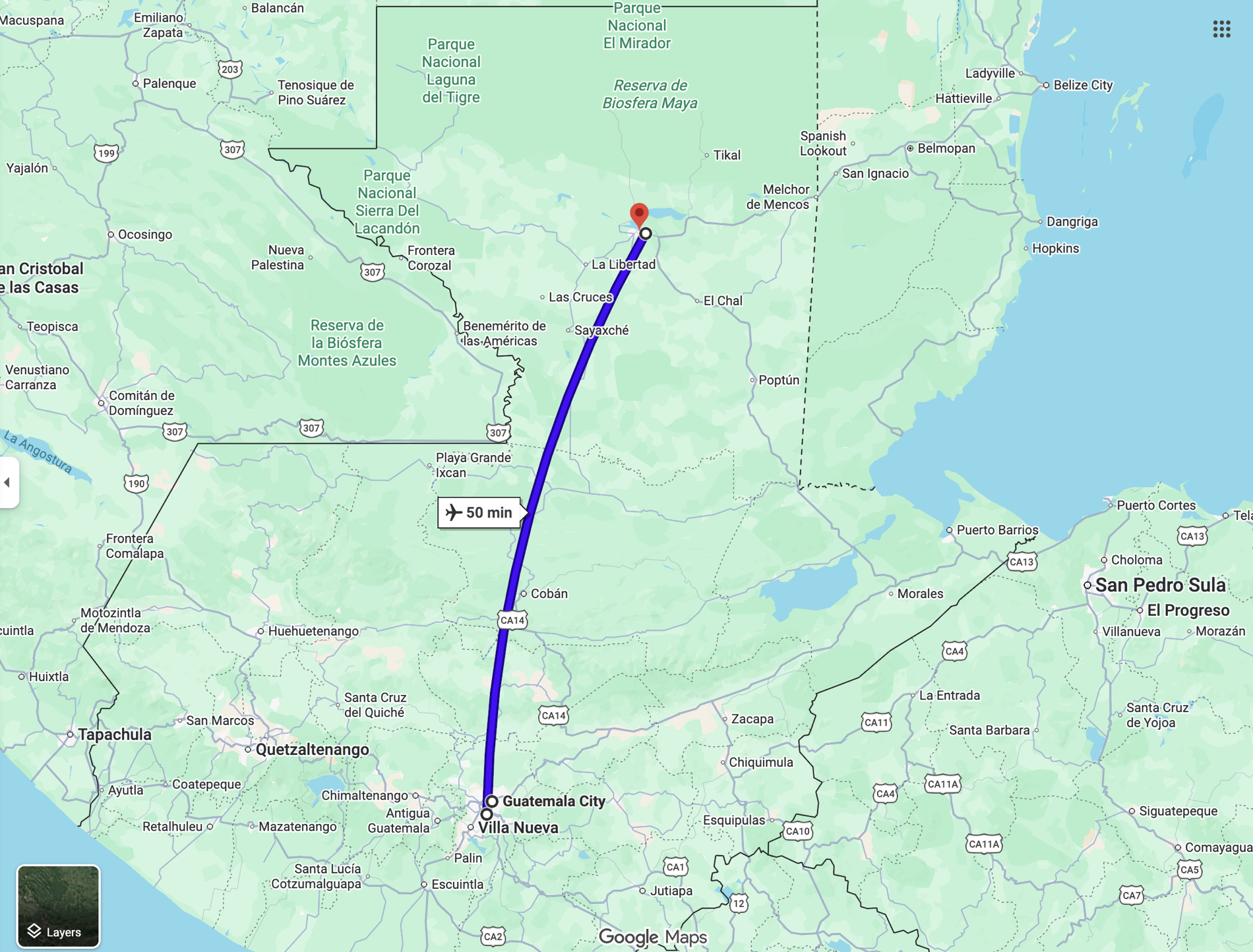
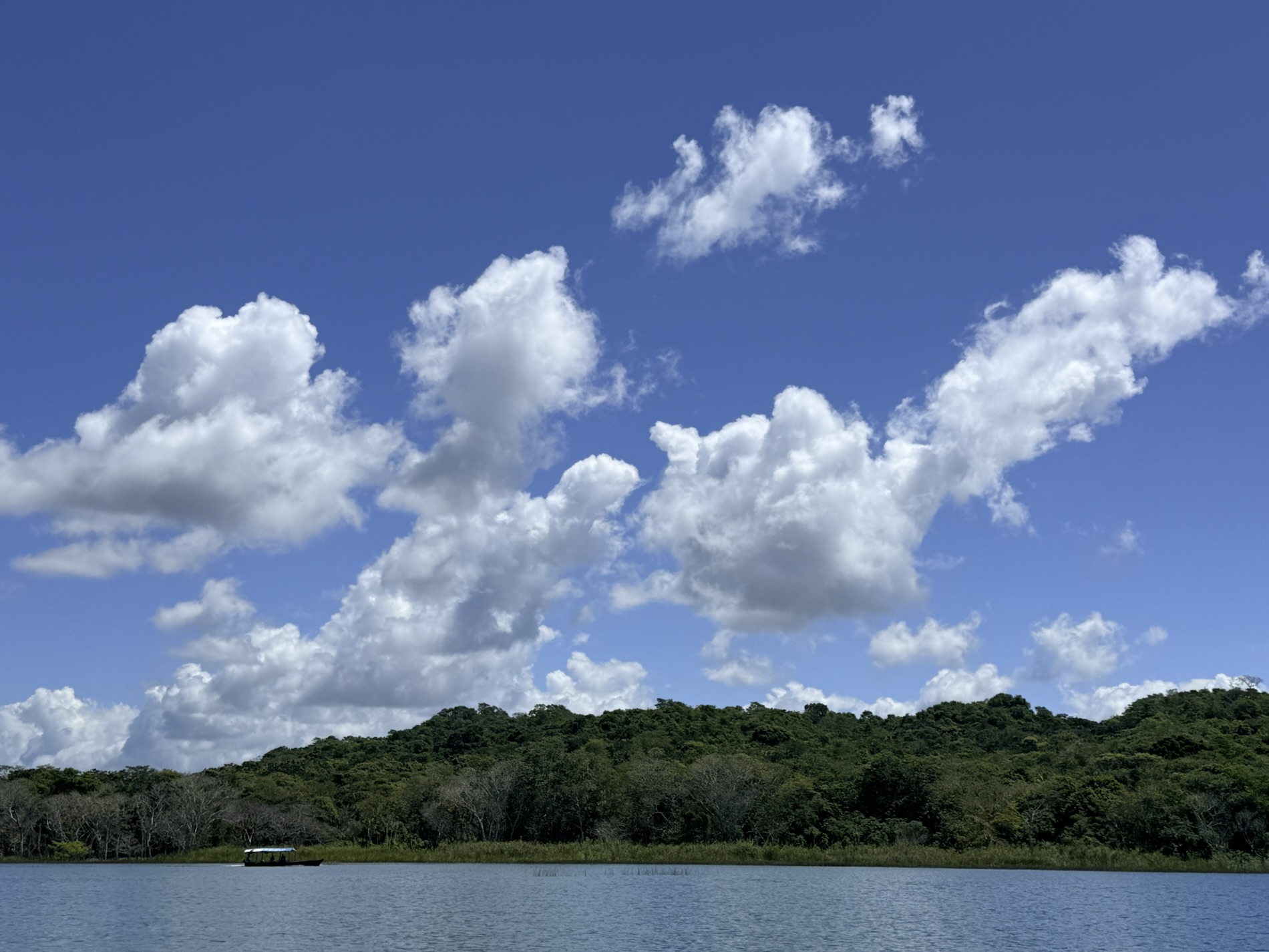
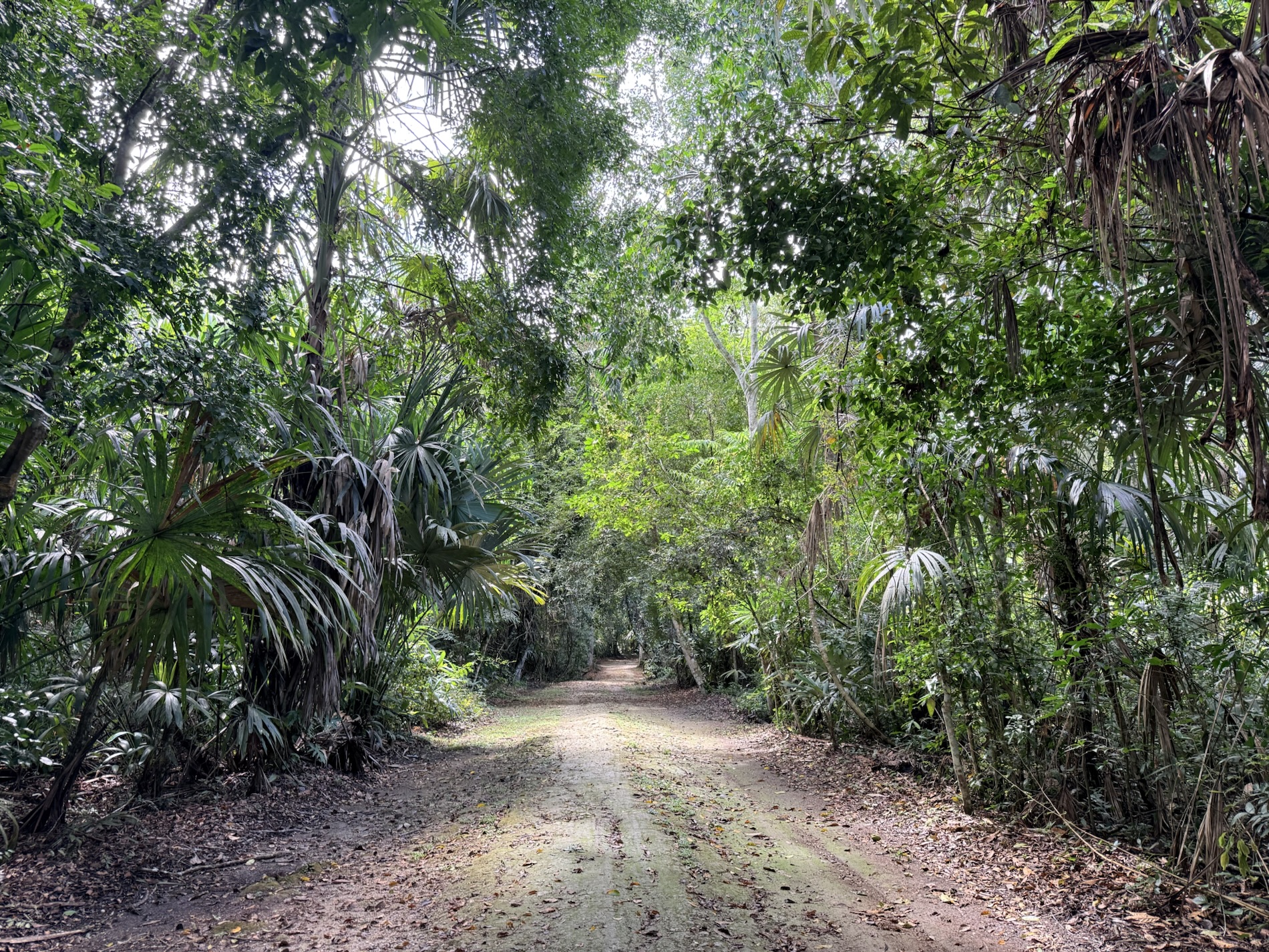
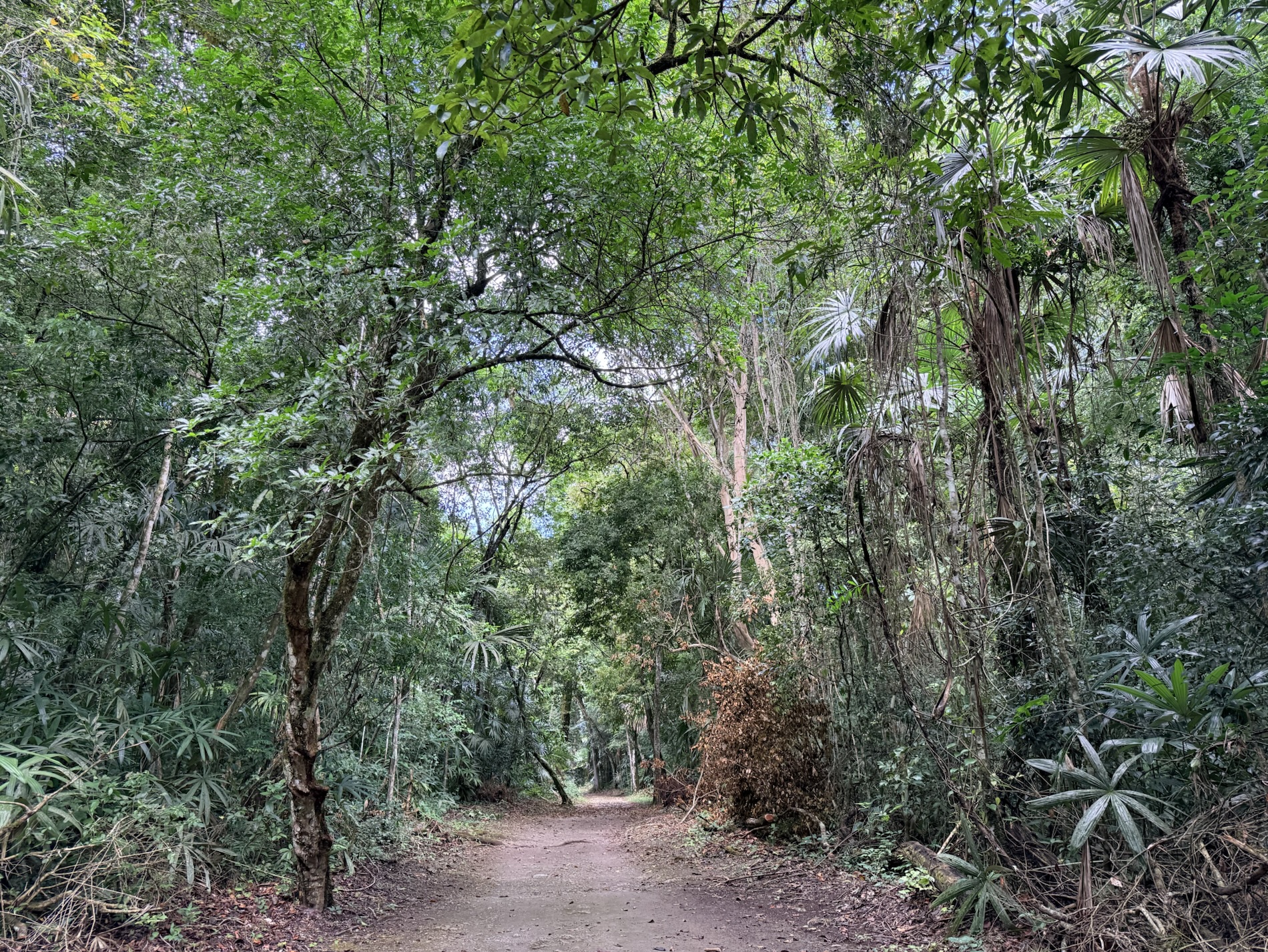
Friday, March 13: Today, we took a shuttle an hour and a half to Tikal Ruins and National Park, where we spent nearly five hours and close to 19,000 steps traipsing around the huge site in hot and humid tropical jungle.
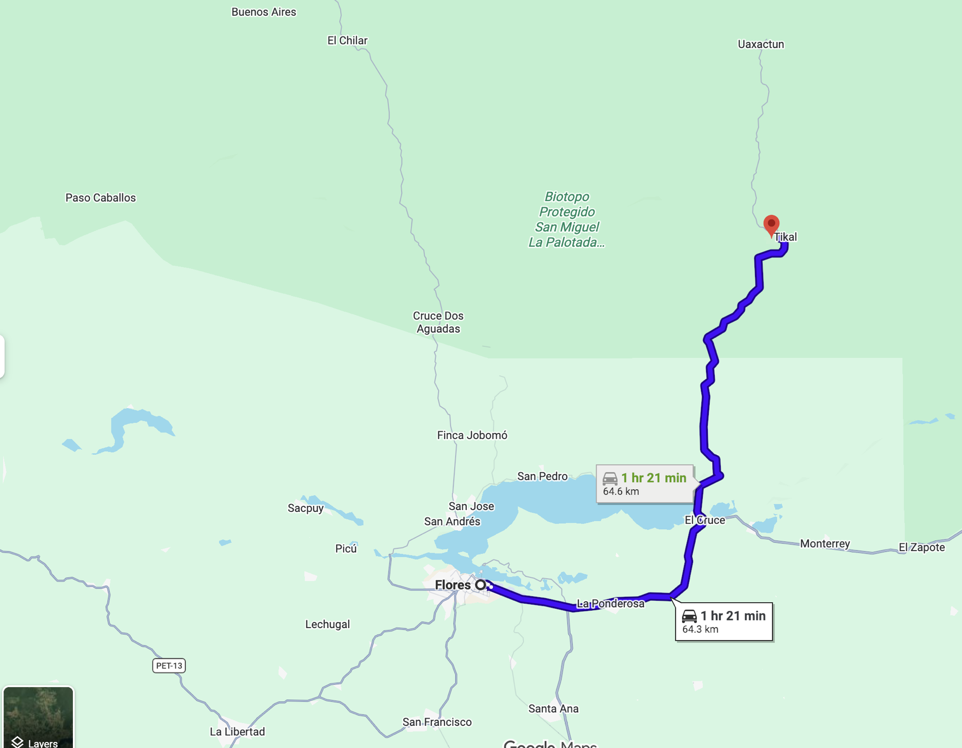
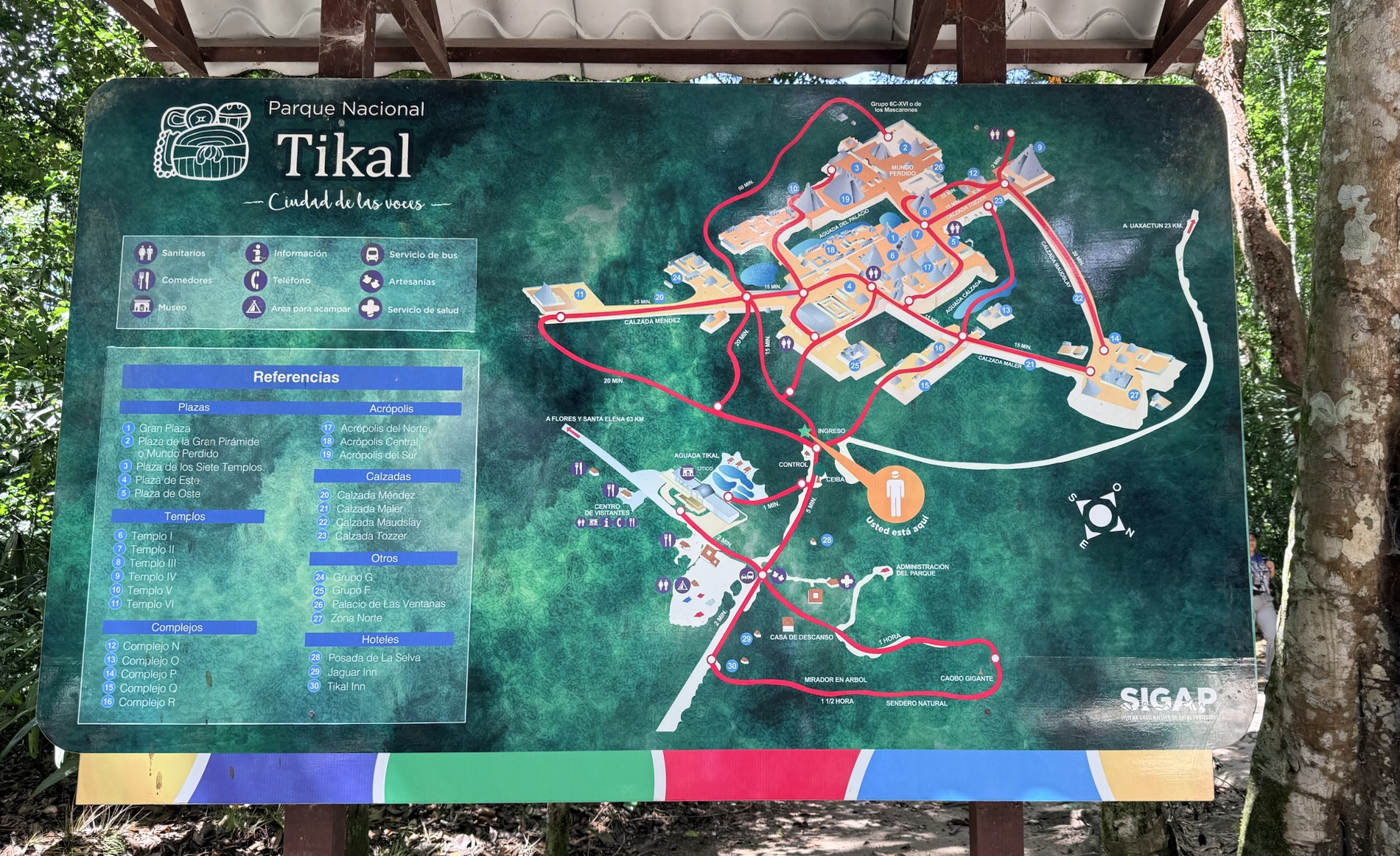
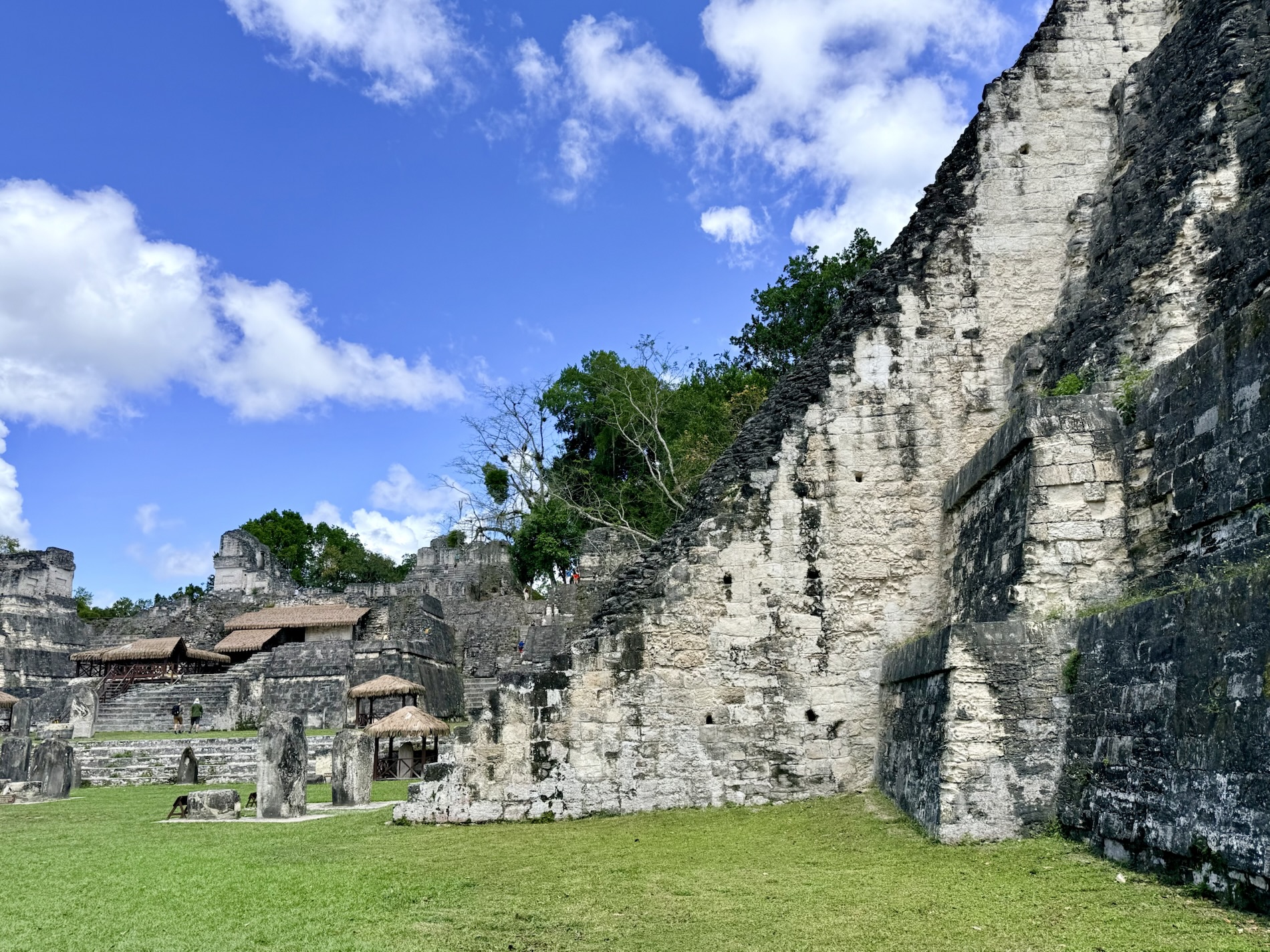
I learned that Tikal National Park encompasses 575 square kilometers (357 sq. mi.) of jungle and thousands of ruined structures. Only 15-20% of the vast site has been officially excavated and restored after decades of archeological work. The vast majority of structures are still hidden under dense jungle foliage and soil. Tikal is the ruin of an ancient city, likely to have been called Yax Mutal, found in the Guatemalan rain forest. It is part of Tikal National Park, declared a UNESCO World Heritage Site in 1979.
I learned that the Maya settled in the area now known as Tikal in about 900 BC. Over the centuries, Tikal became an important ceremonial, cultural and commercial center. Most of the city’s massive temples were built during the eighth century AD. Tikal became one of the most massive cities in the Maya world, with a population of maybe 100,000. It was the capital of a state that became one of the most powerful kingdoms of the ancient Maya, reaching its apogee during the Classic Period, c. 200-900 AD. During this period, the city dominated much of the Maya region politically, economically, and militarily, while interacting with areas throughout Mesoamerica such as the great metropolis of Teotihuacan in the distant valley of Mexico.
I learned that, like similar Maya complexes on Mexicio’s Yucatan Peninsula, Tikal fell into decline at the end of the 9th century and was virtually abandoned. The causes of the empire’s collapse remain a mystery, but wars, famine, overpopulation, and resource depletion have all been blamed. The most likely cause of Tikal’s collapse was overpopulation and agrarian failure.
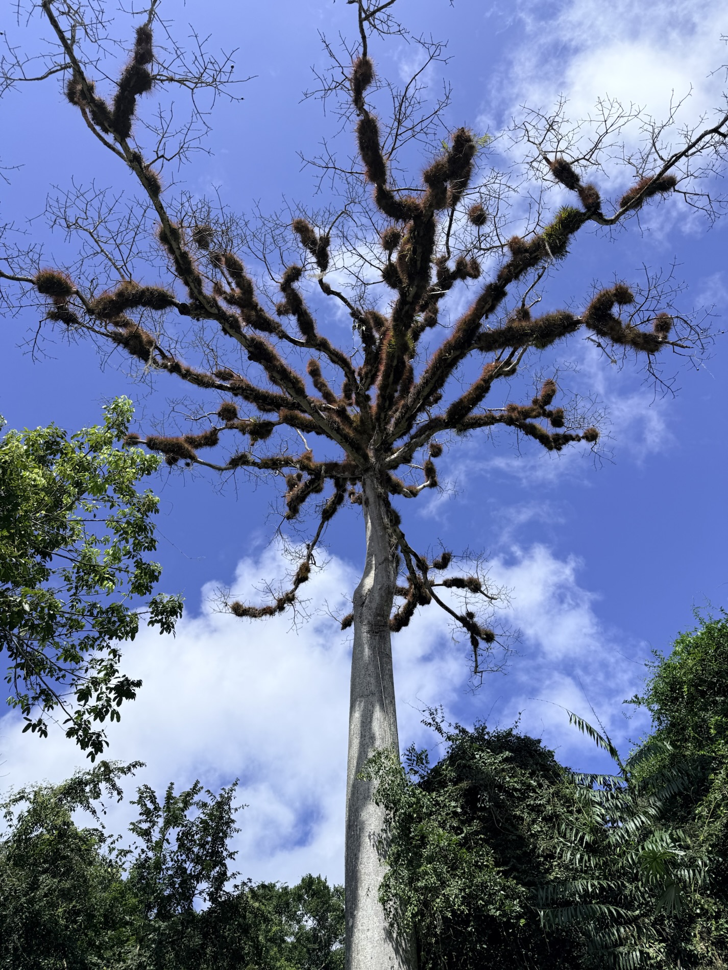
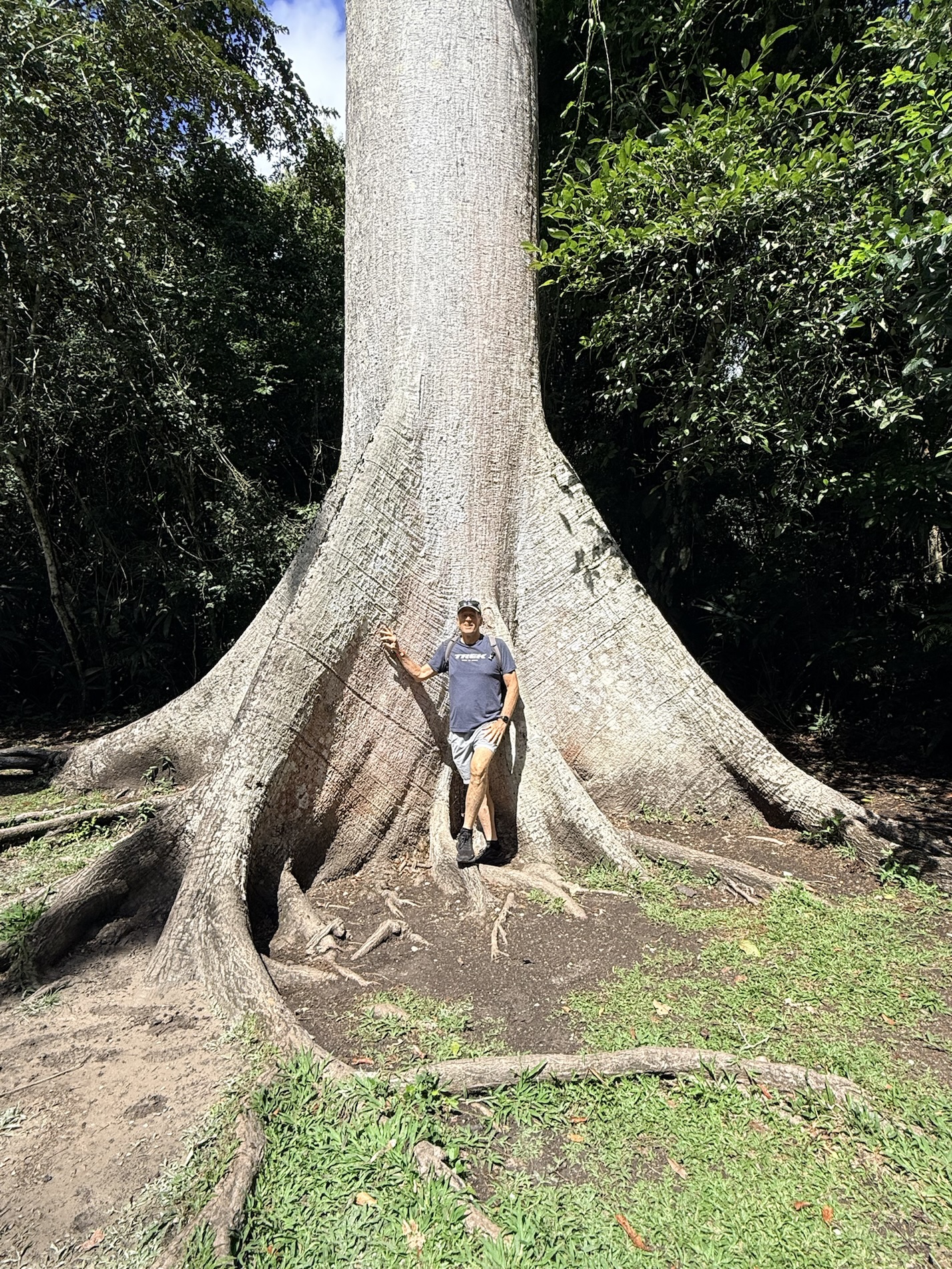
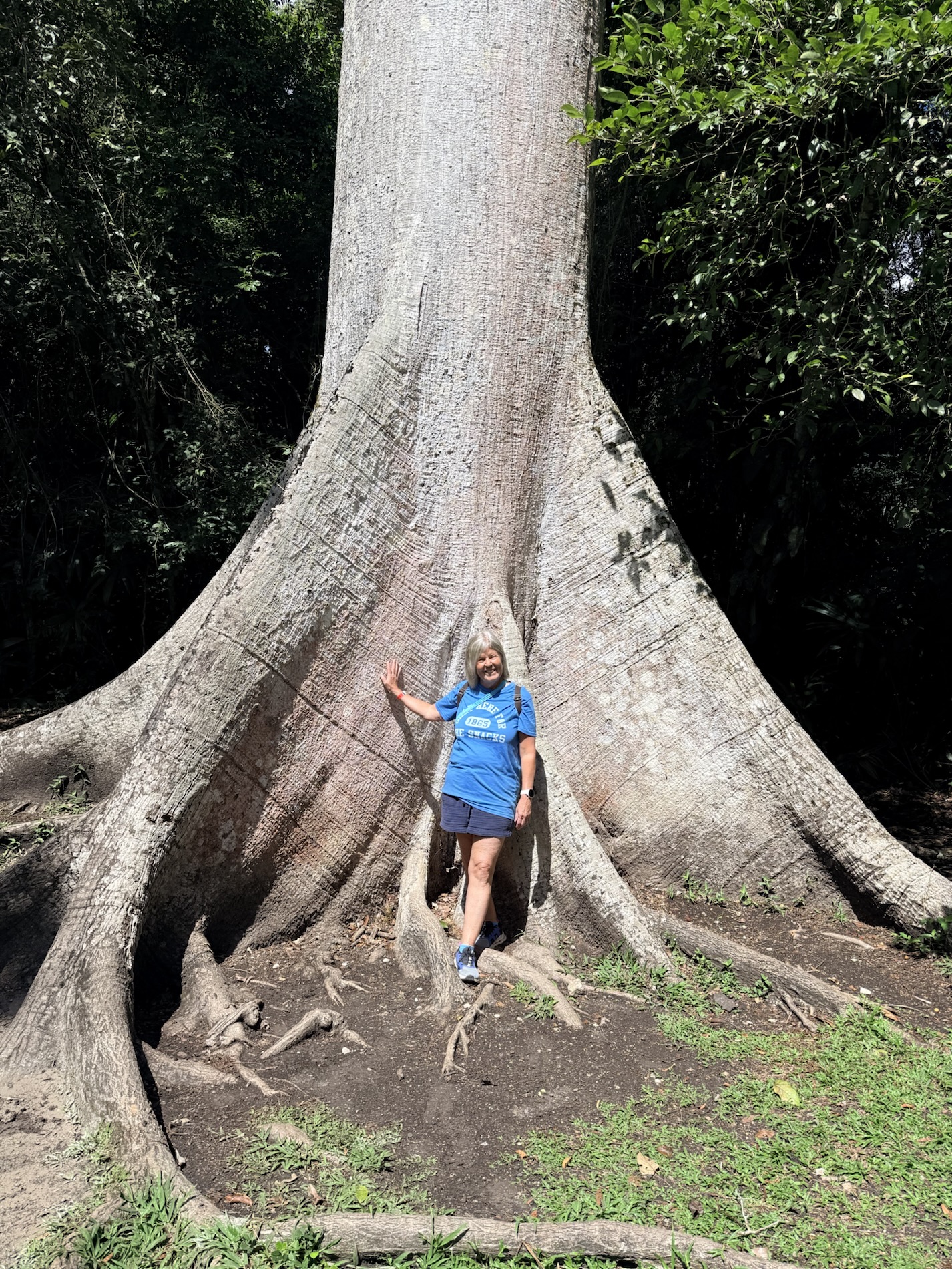
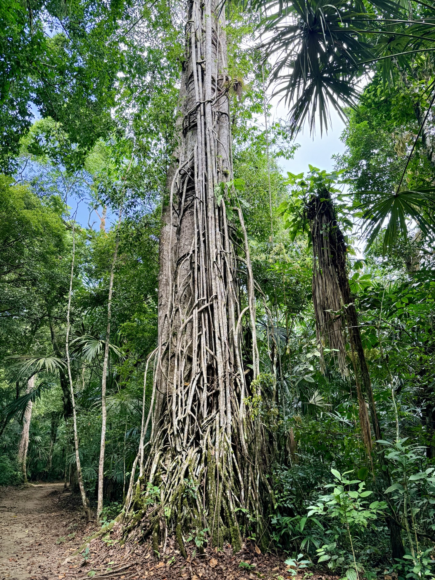
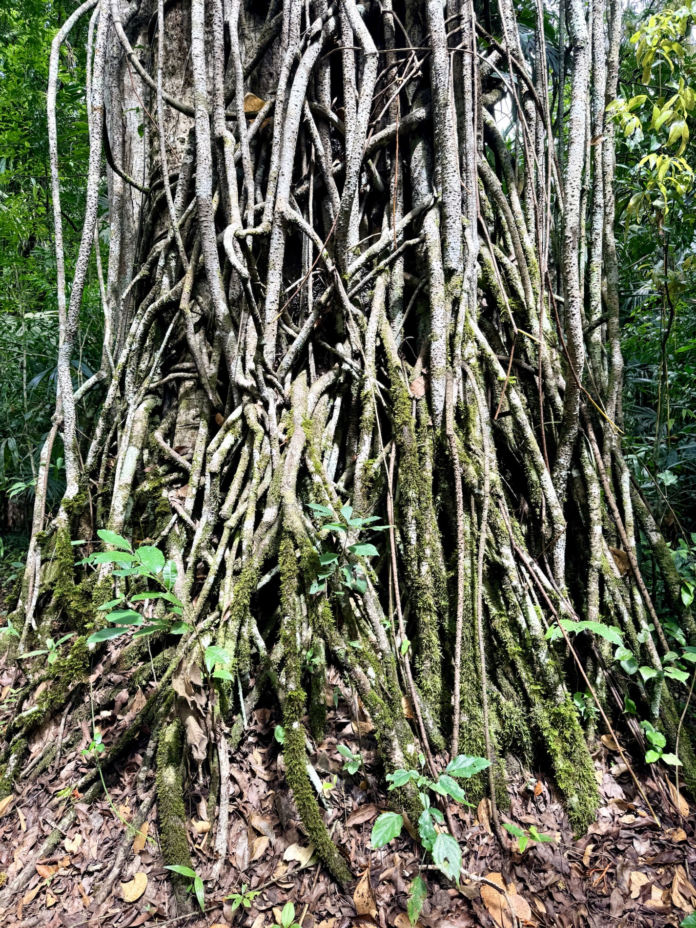
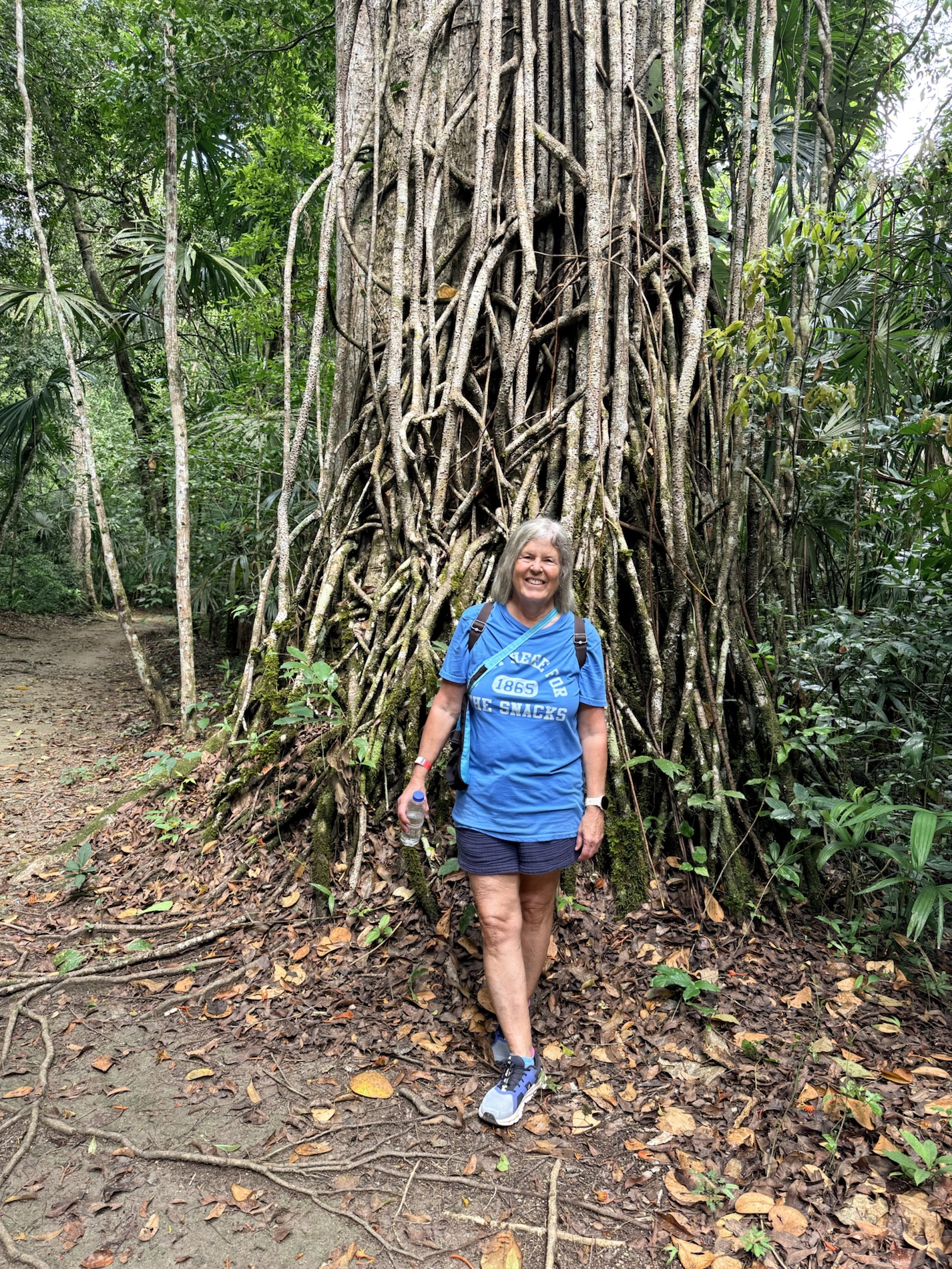
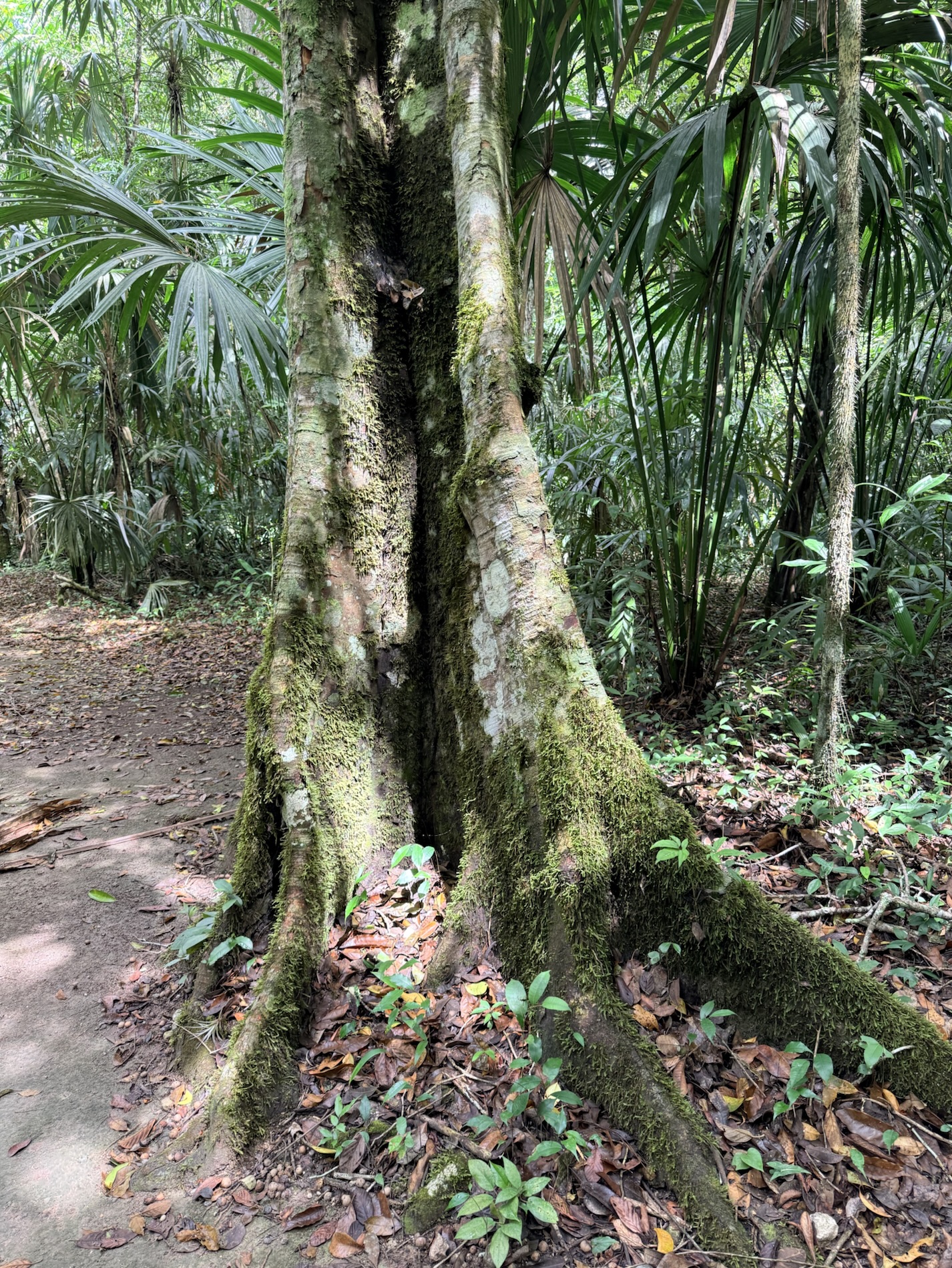
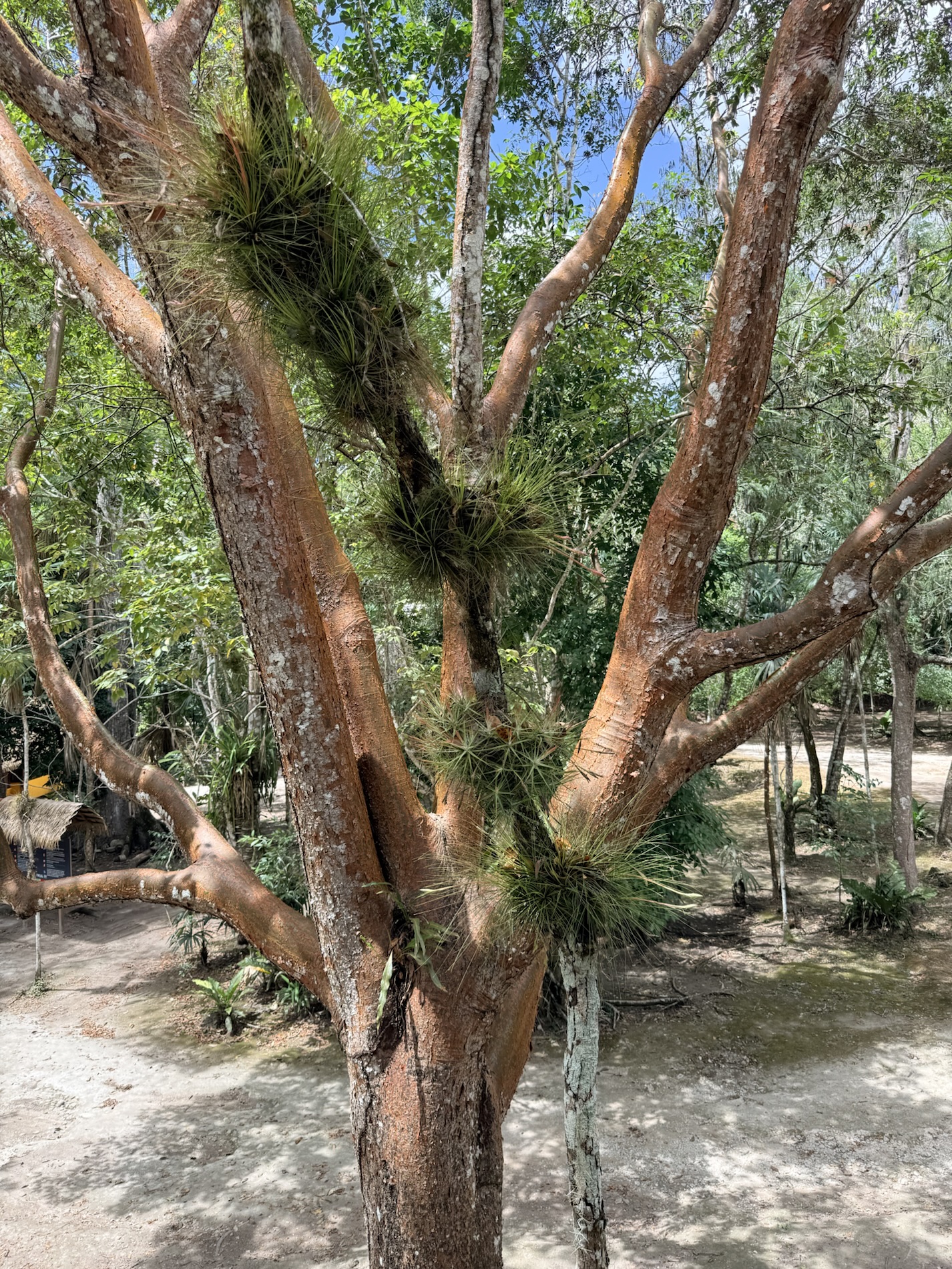
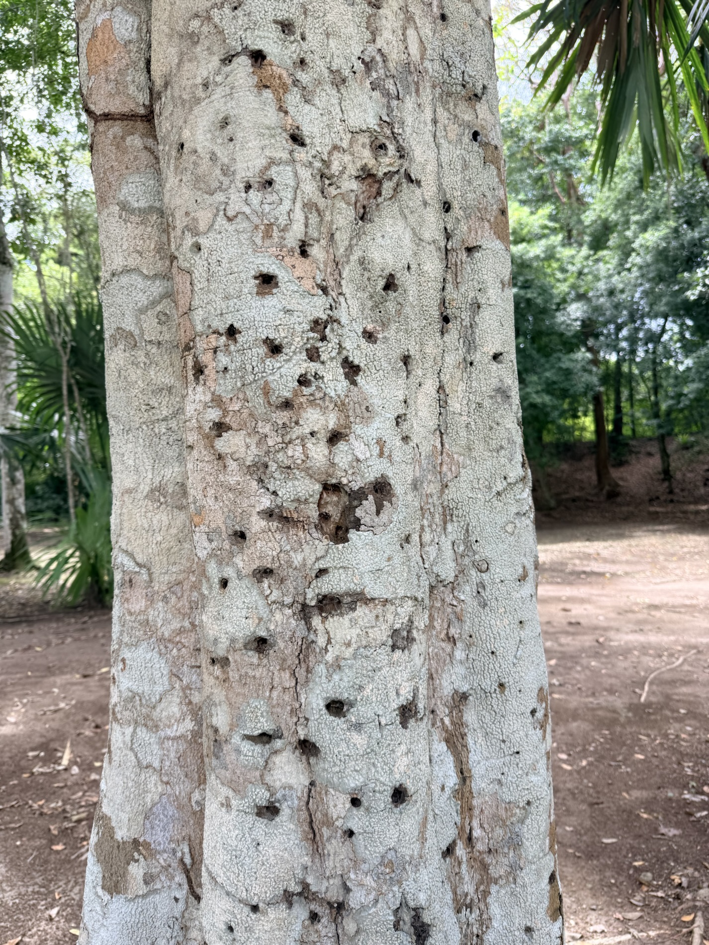
I learned that the giant Kapok Tree (Ceiba pentandra) that we encountered near the park entrance is considered the sacred tree of the Maya. Other important trees at Tikal are tropical cedar and Honduras mahogany.
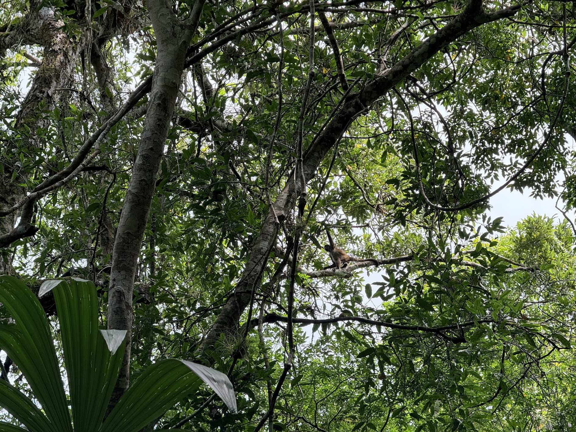
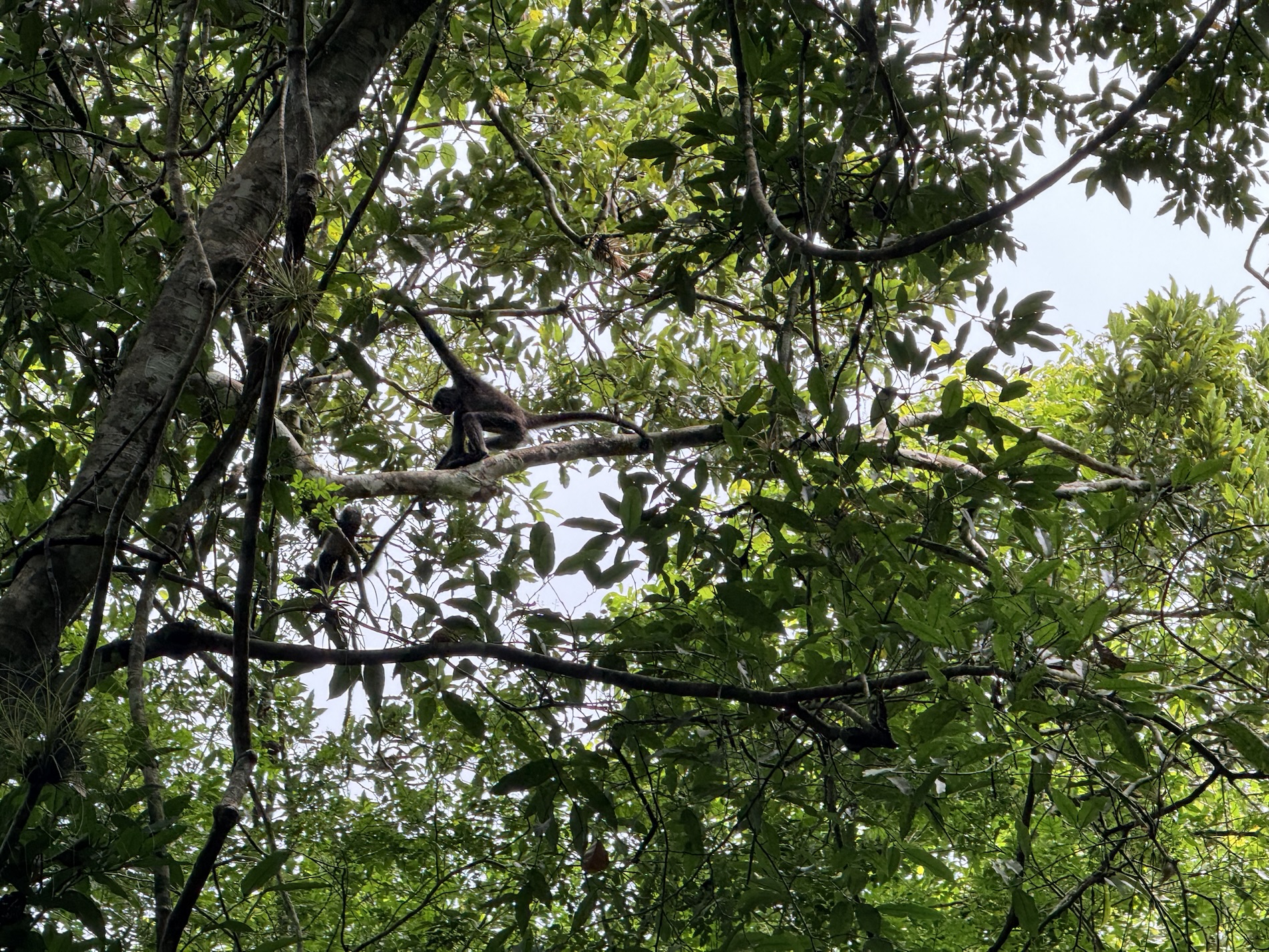
I learned that Tikal is home to a diverse animal kingdom: agoutis, white-nosed coatis, gray foxes, Geoffroy’s spider monkeys, howler monkeys, harpy eagles, falcons, ocellated turkeys, guans, toucans, green parrots and leafcutter ants. Jaguars, ocelots and cougars also are said to roam the park. We added some new birds to our Life List on Merlin: an Ochre-bellied Flycatcher, a Short-billed Pigeon, and a Lesser Greenlet. We also saw some howler monkeys in the trees.
I learned that Tikal had no water other than what was collected from rainwater and stored in 10 reservoirs. The average annual rainfall in the area was 76.6 inchees. However, the rain was often unpredictable, and long periods of drought could occur before crops ripened, threatening the survival of inhabitants.
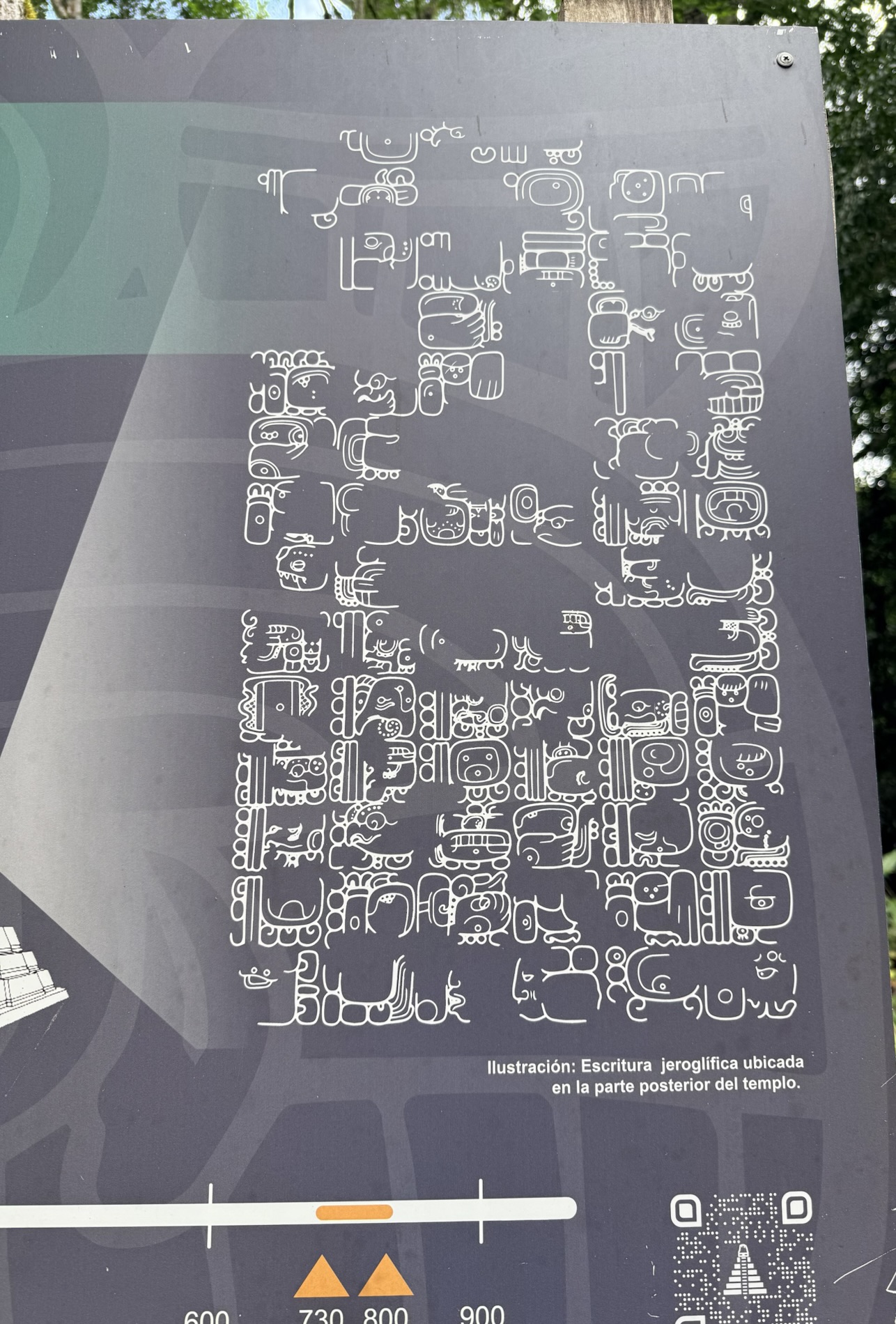
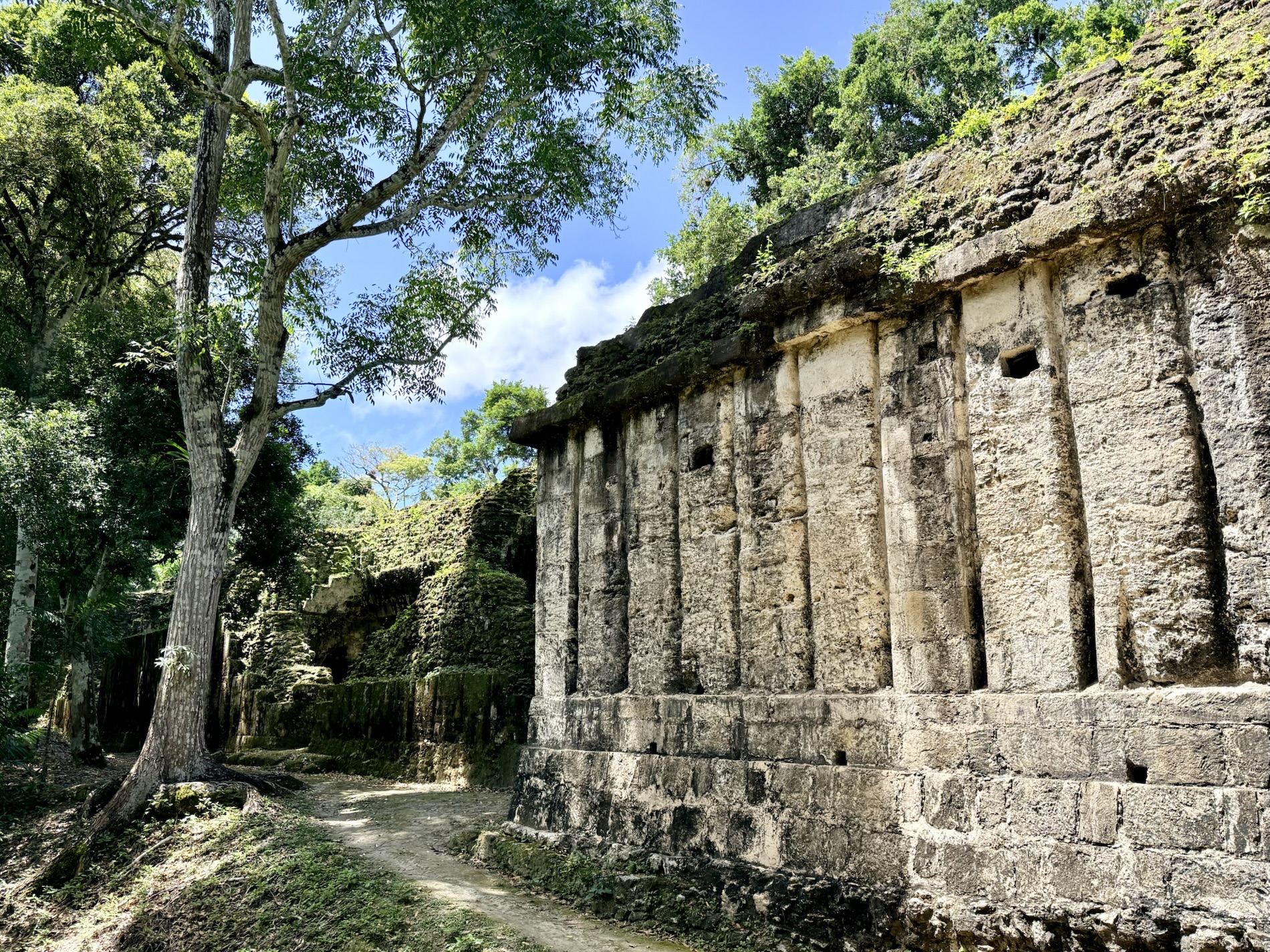
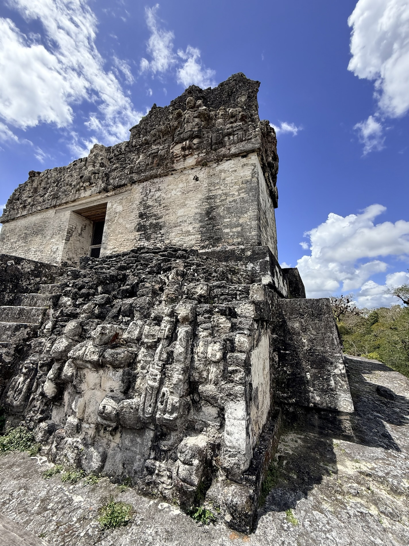
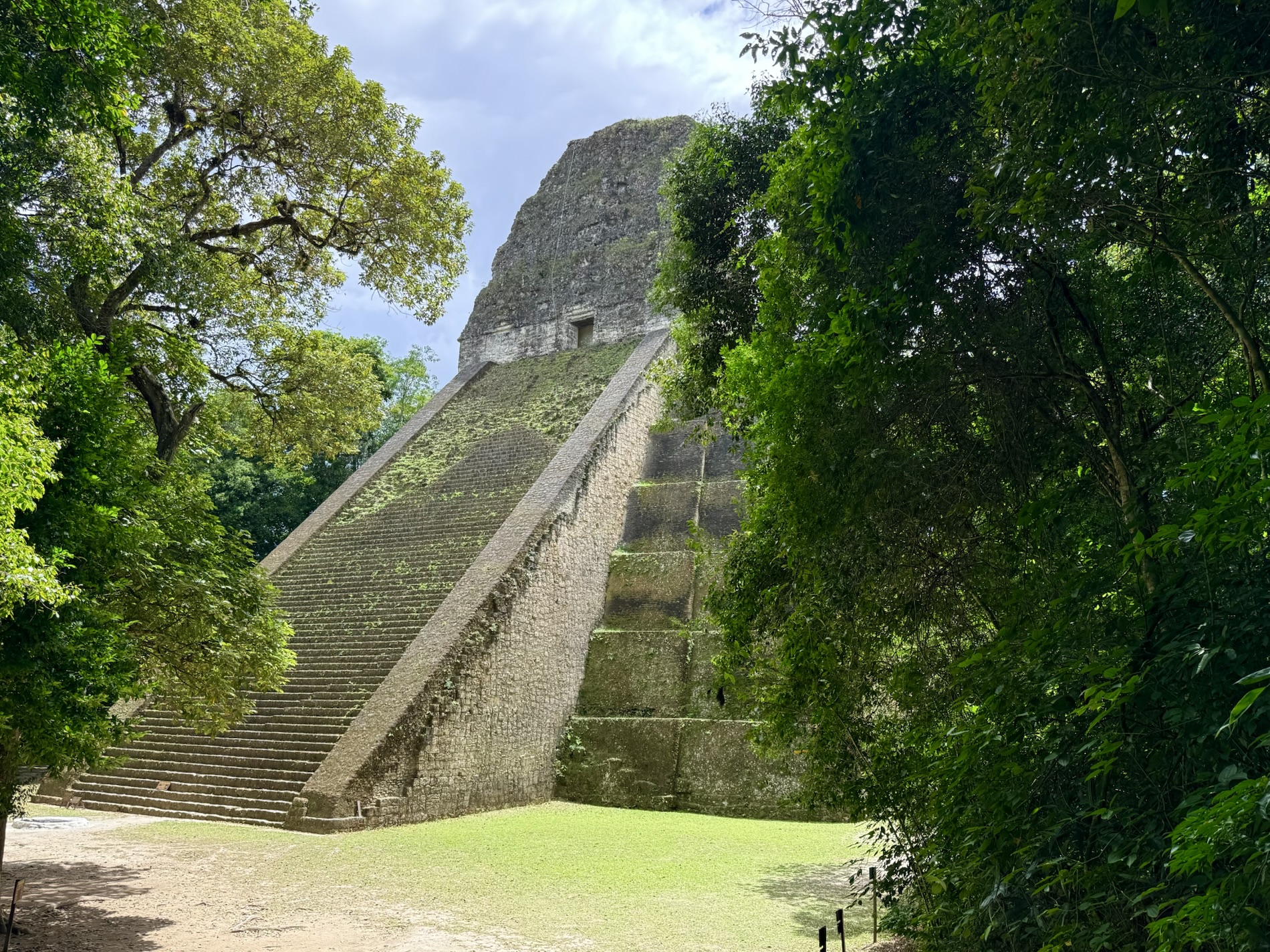
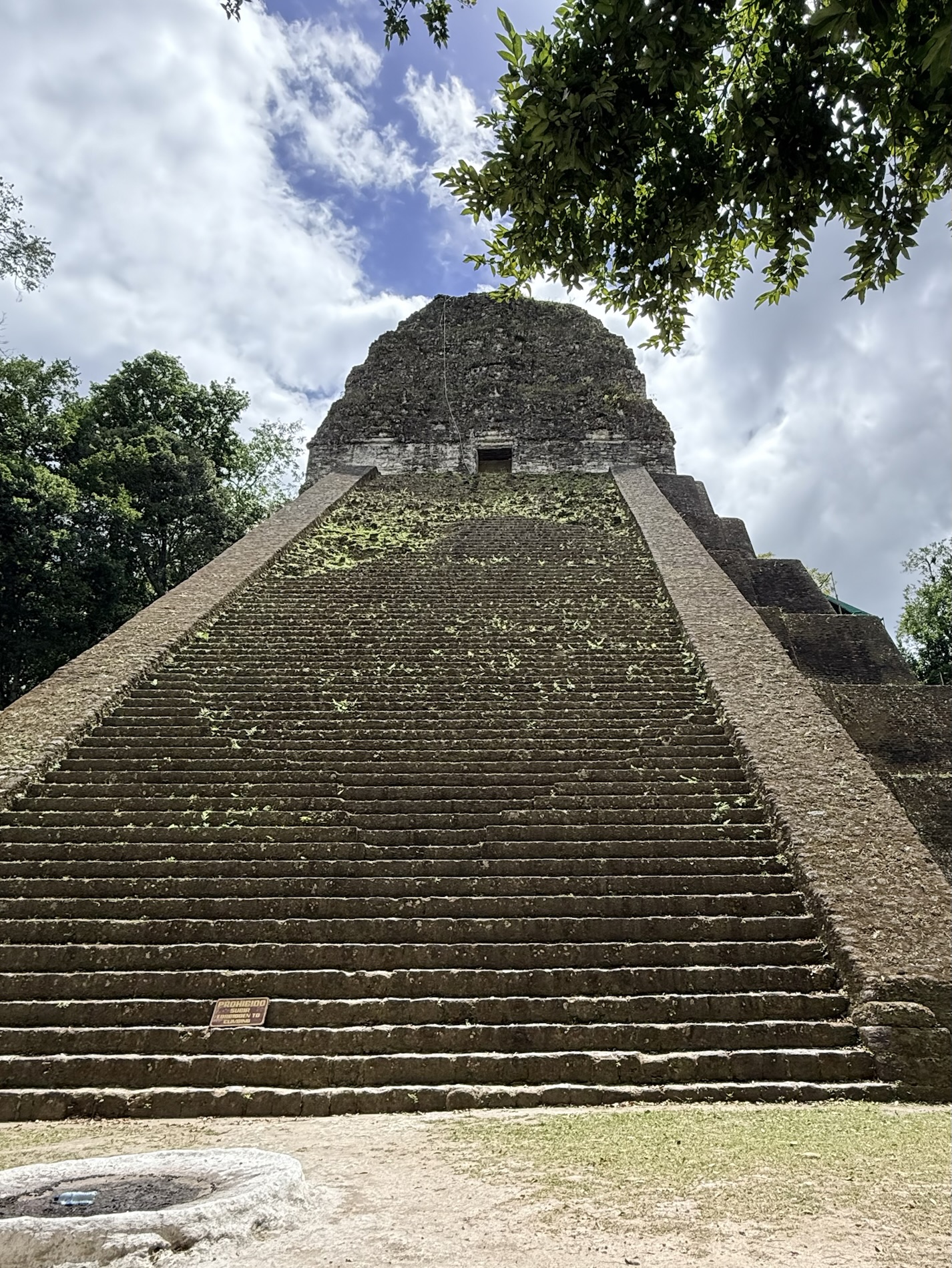
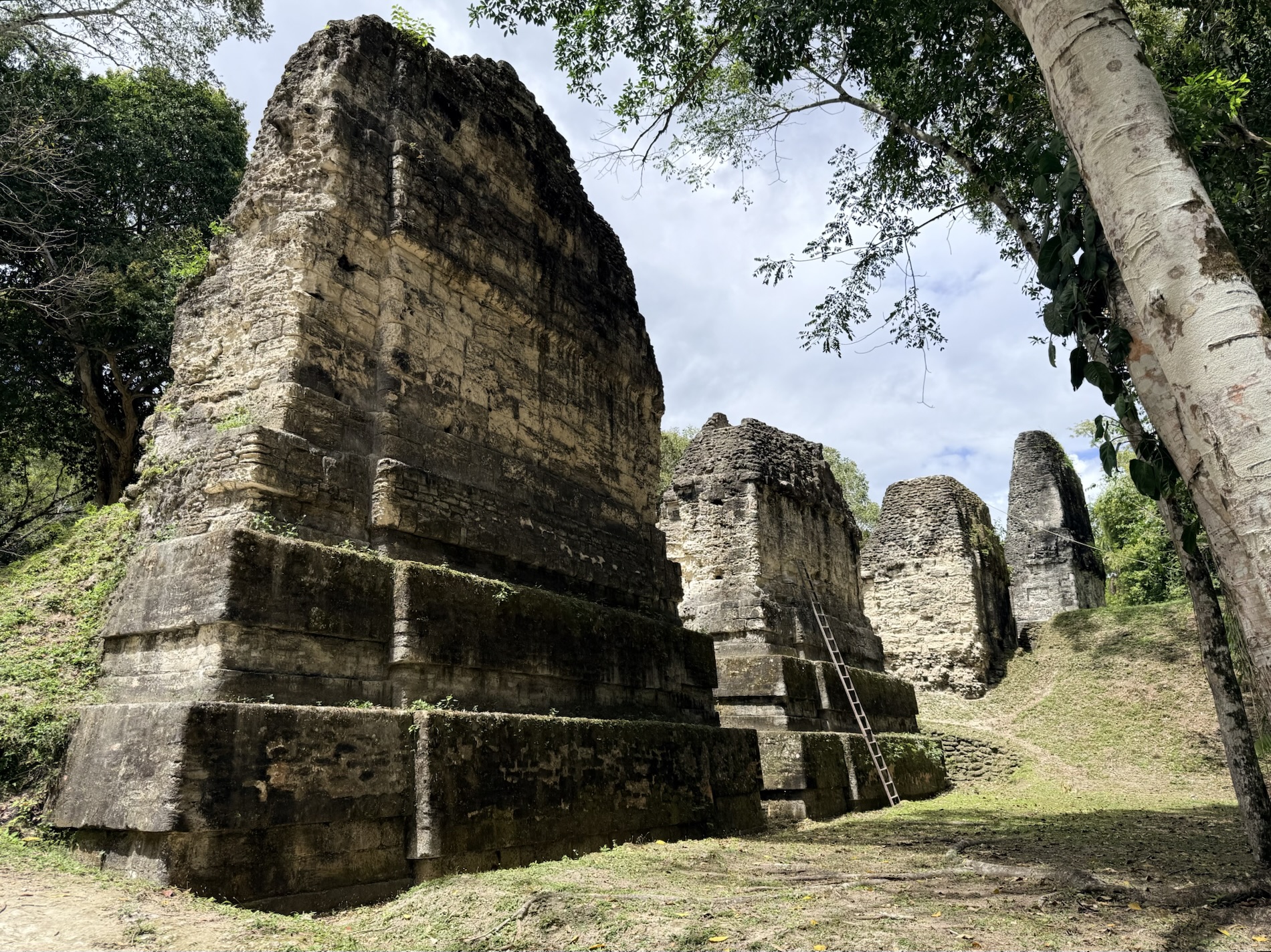
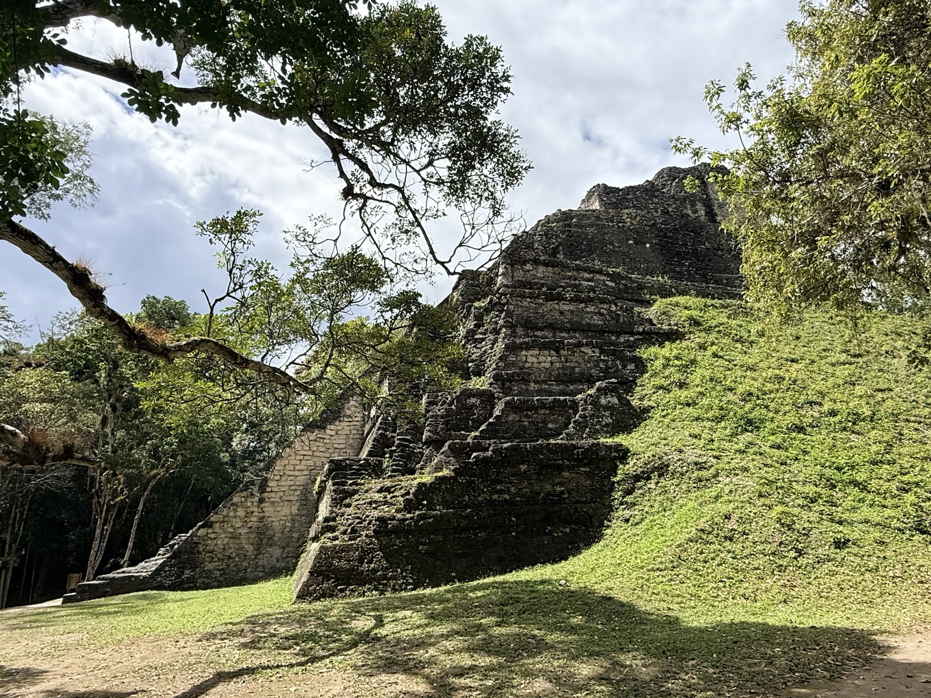
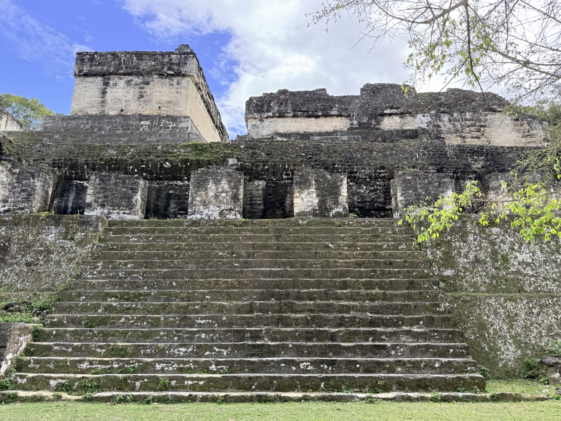
I learned that Temple VI is known as the “Temple of Inscriptions” and is the furthest building from the city center. We walked for 20 minutes through the jungle to get to it. The temple has a long inscription on the rear facade of the crest which was stuccoed and painted at some time in history. It is adorned with reliefs on the north and south facades. It was built between 730 and 800 AD. We started here because we often like to start at the furthest point out and work our way back.
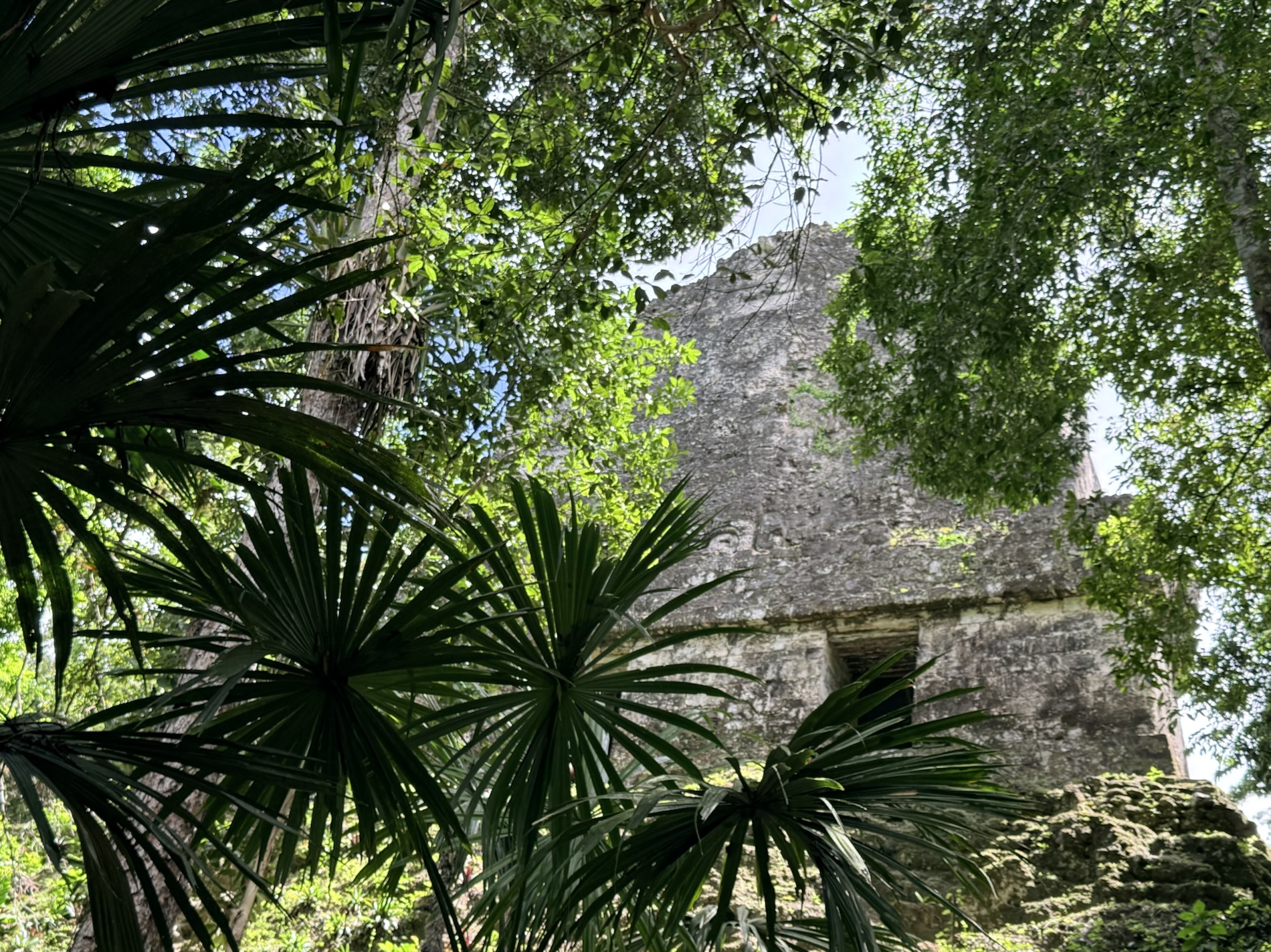
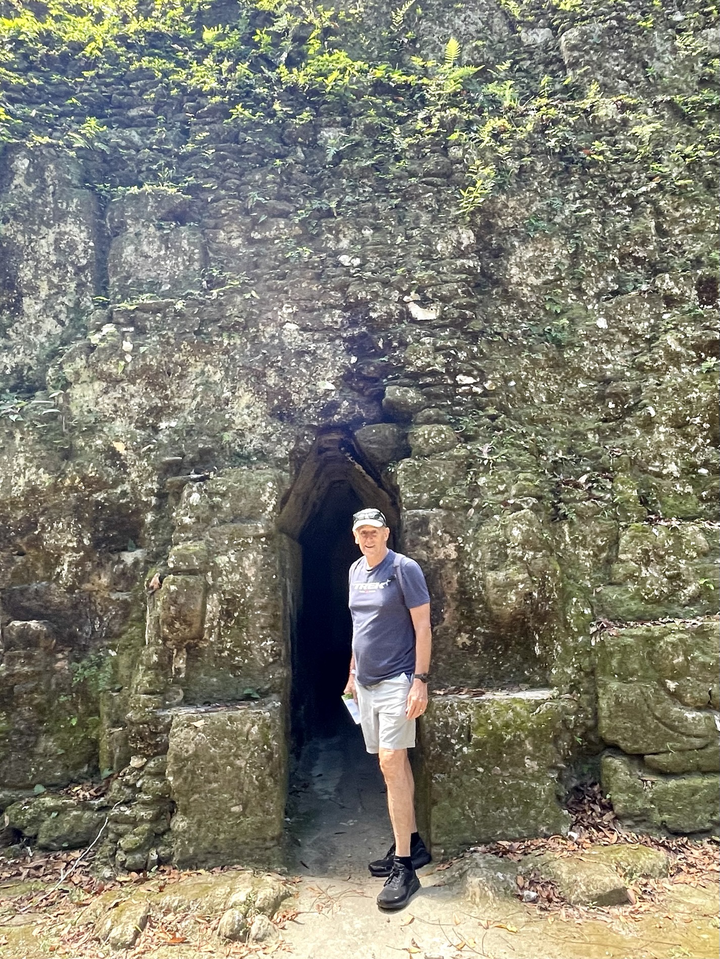
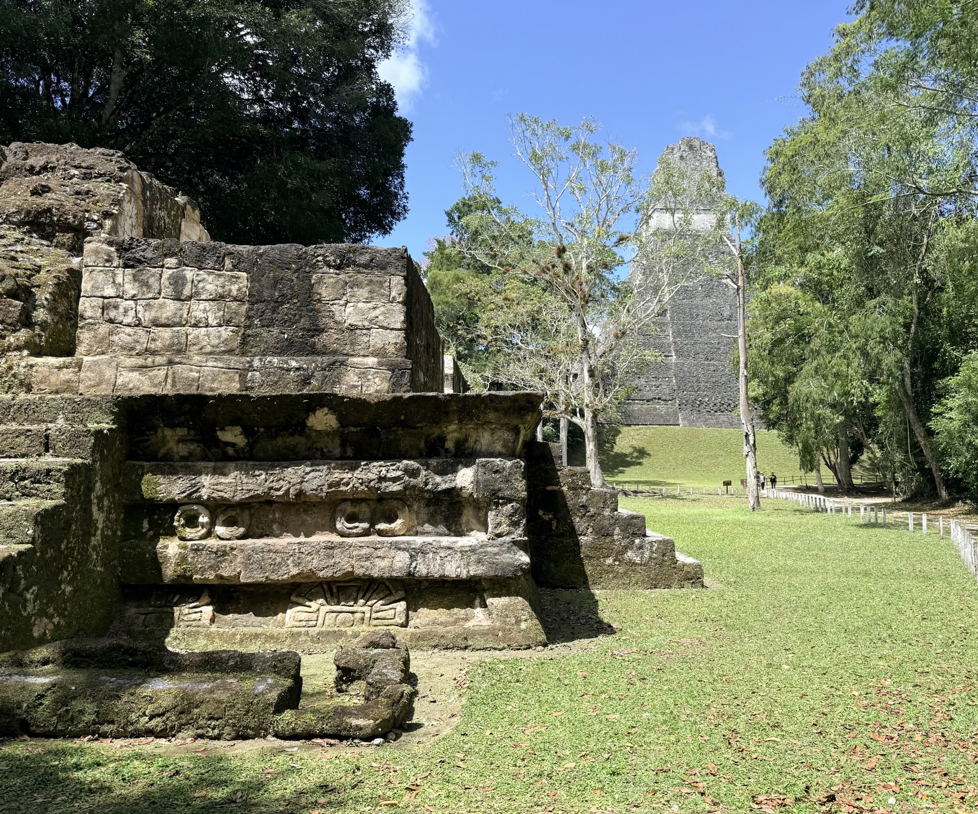
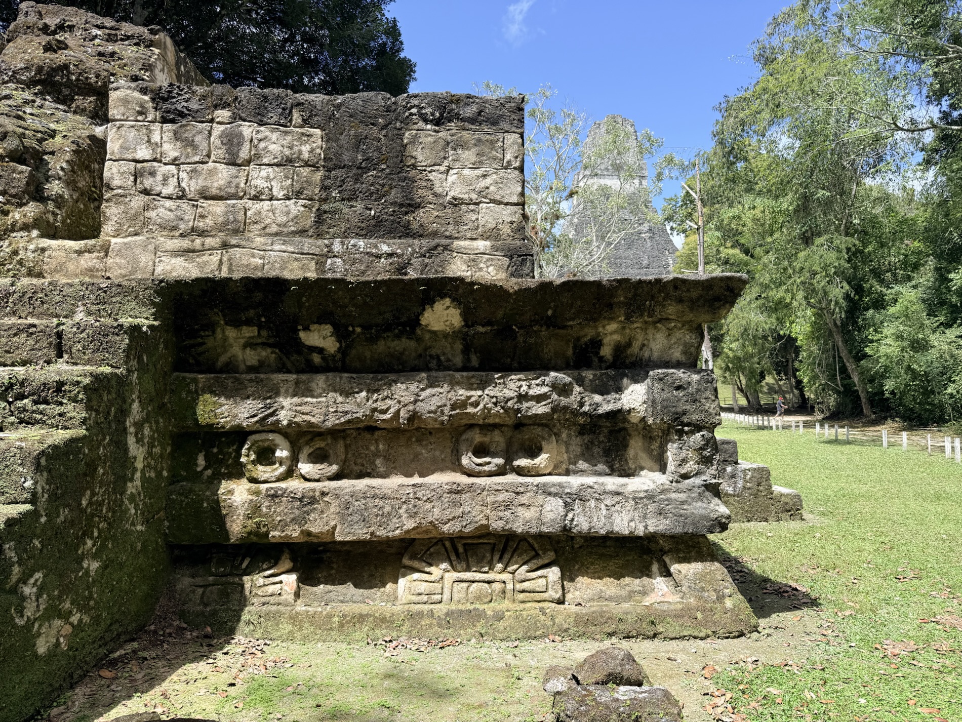
I learned that the Palacio de la Acanaladuras (Palace of the Grooves) was a residential complex; the bedrooms have built-in beds. It was named such because of the vertical panels that surround the inner courtyard. We entered through a thin narrow tunnel leading to the central courtyard.
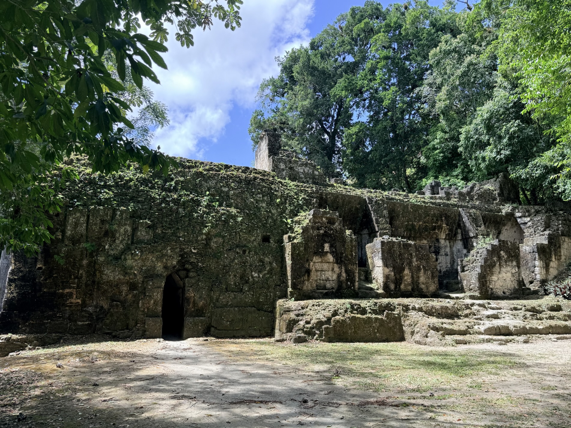
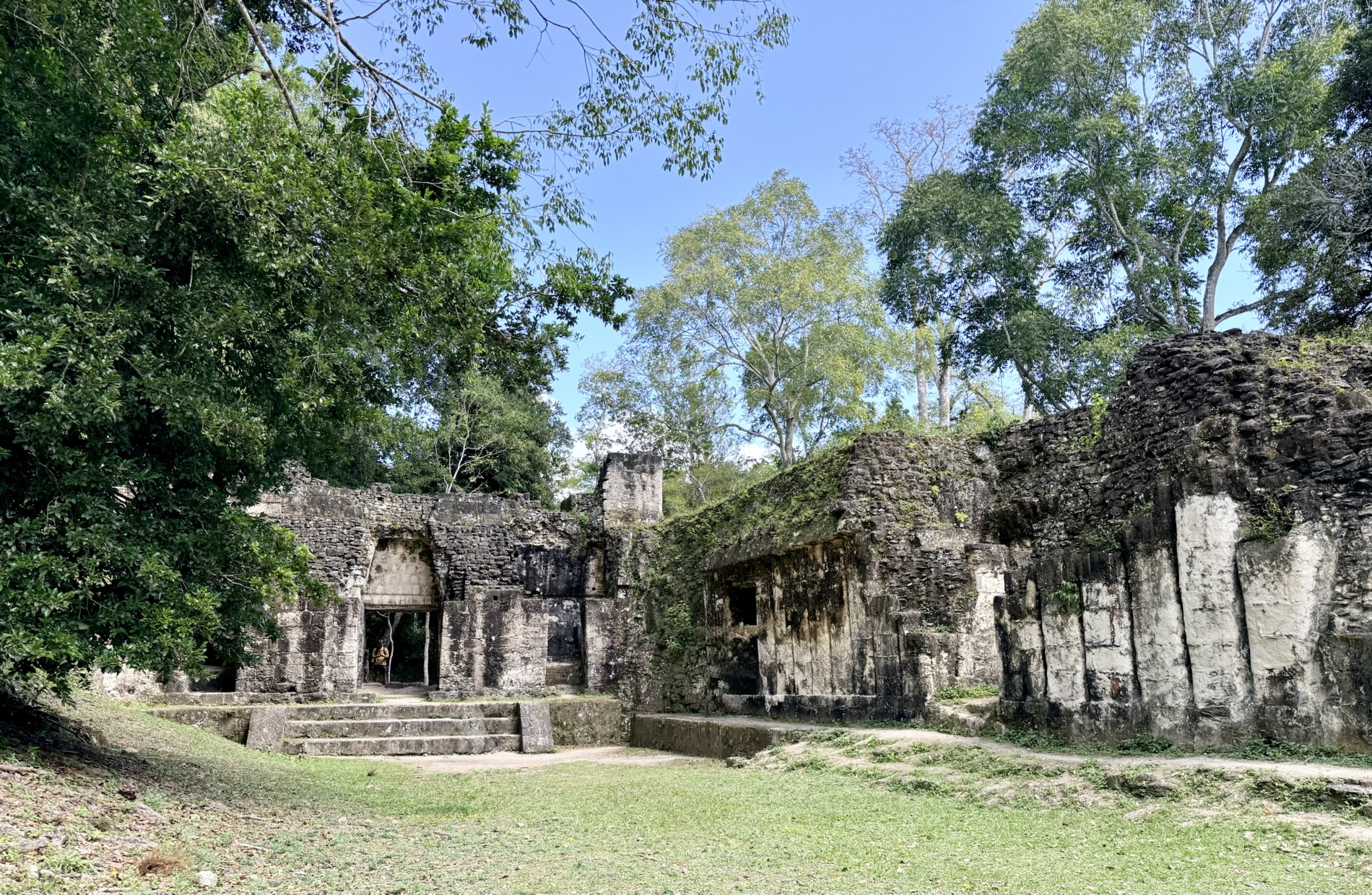
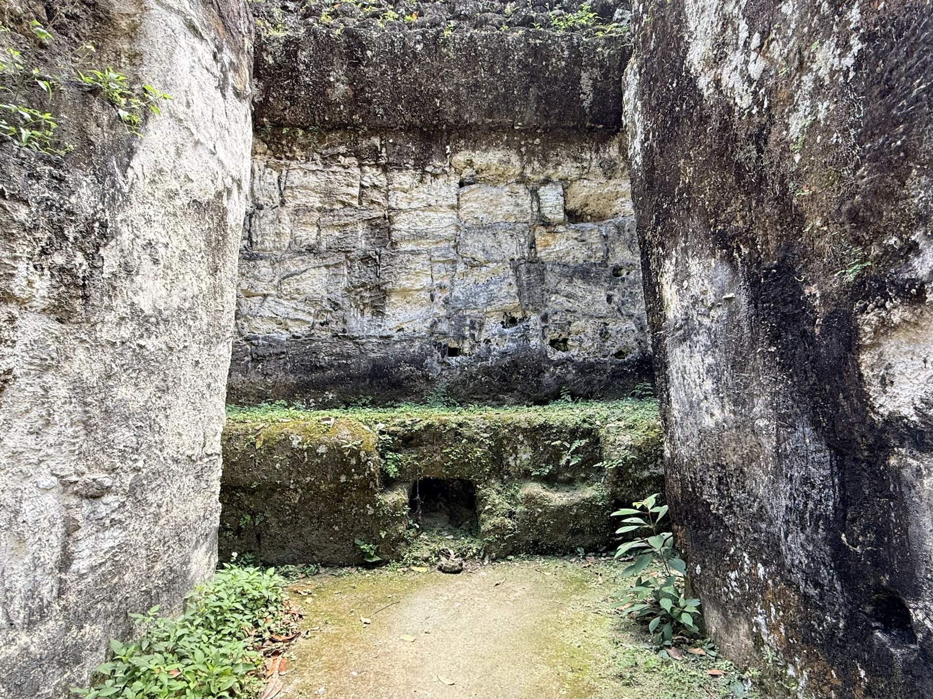
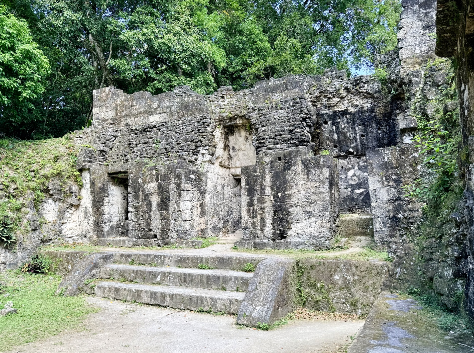
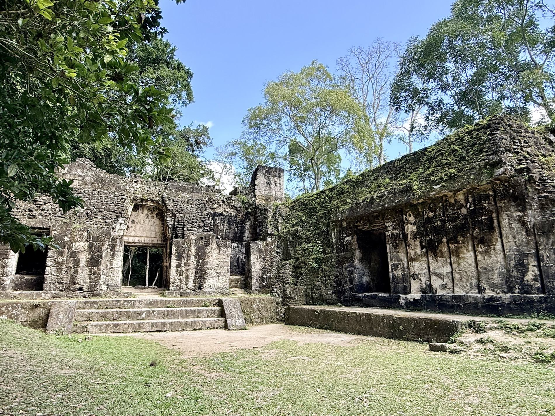
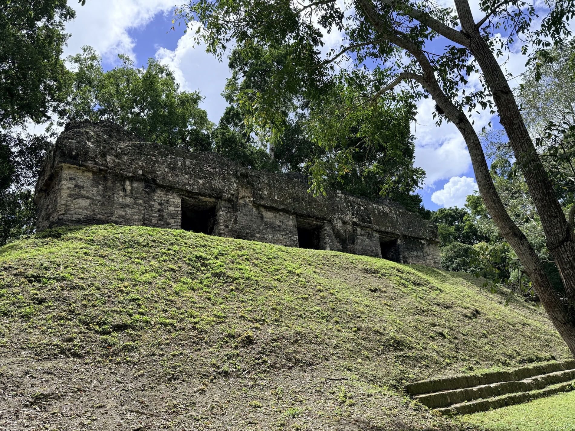
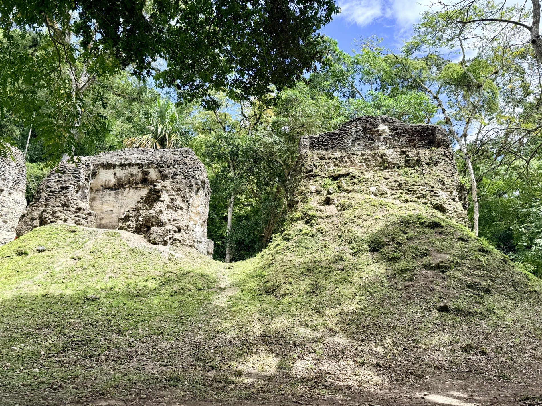
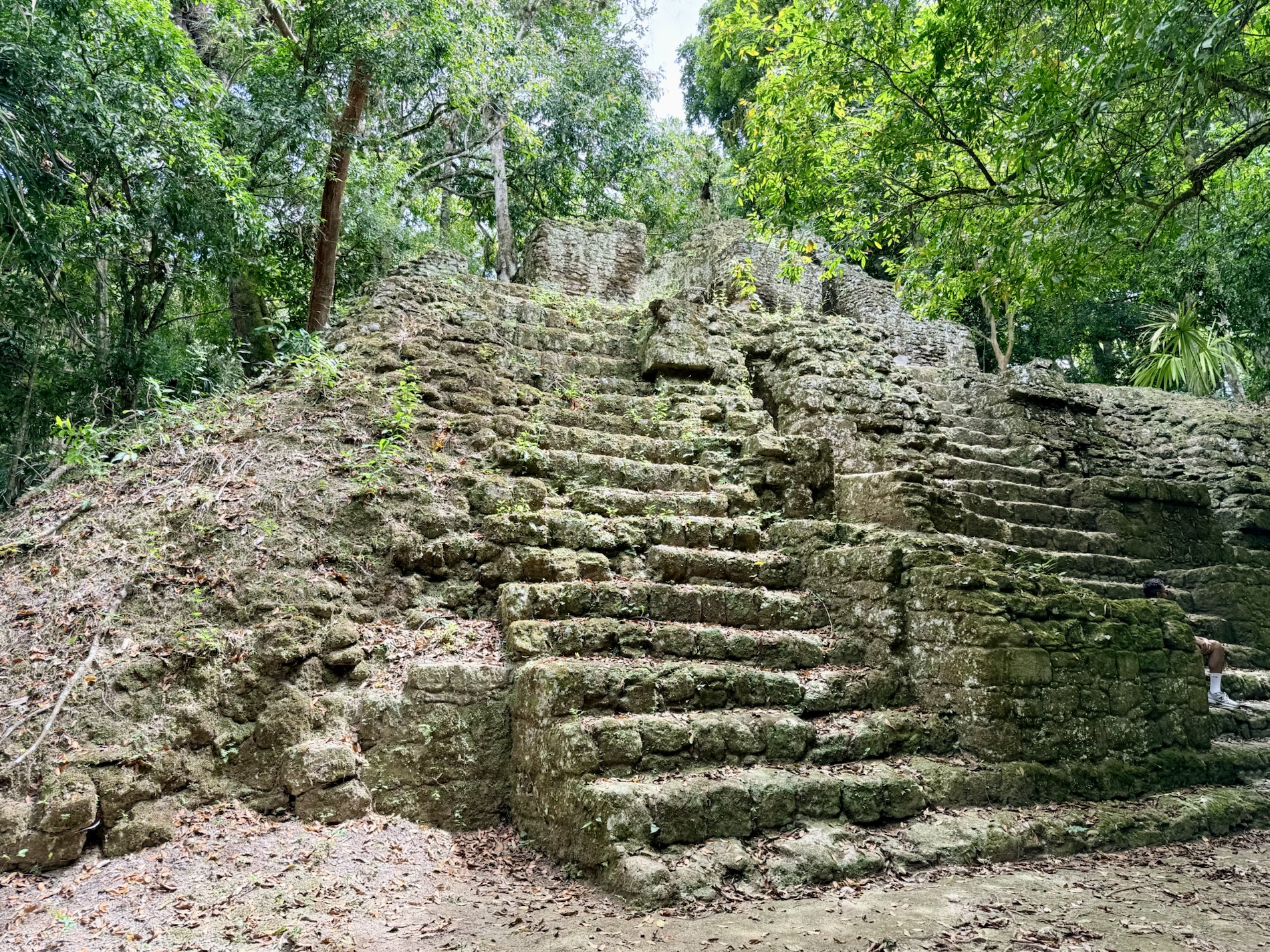
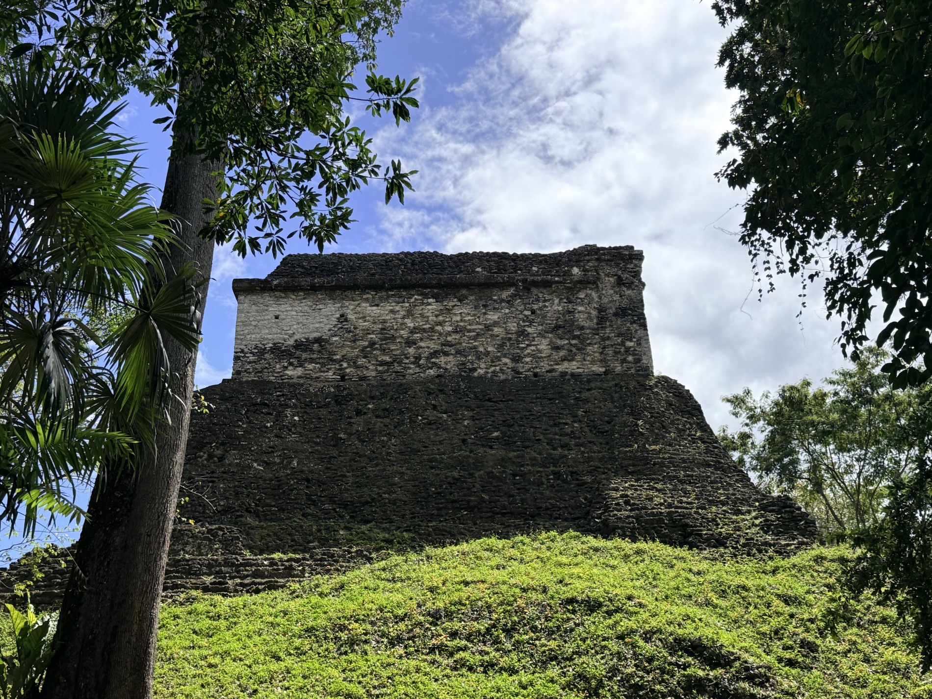
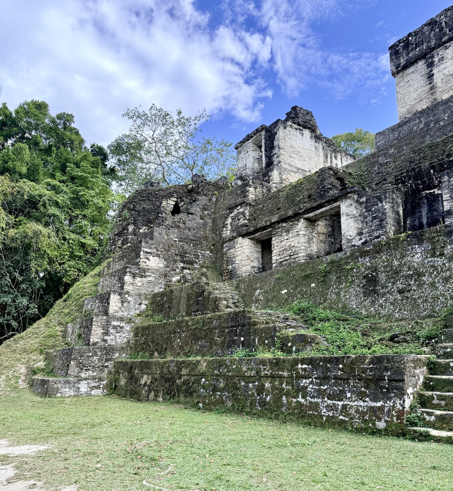
I learned that many structures at Tikal are not officially identified.
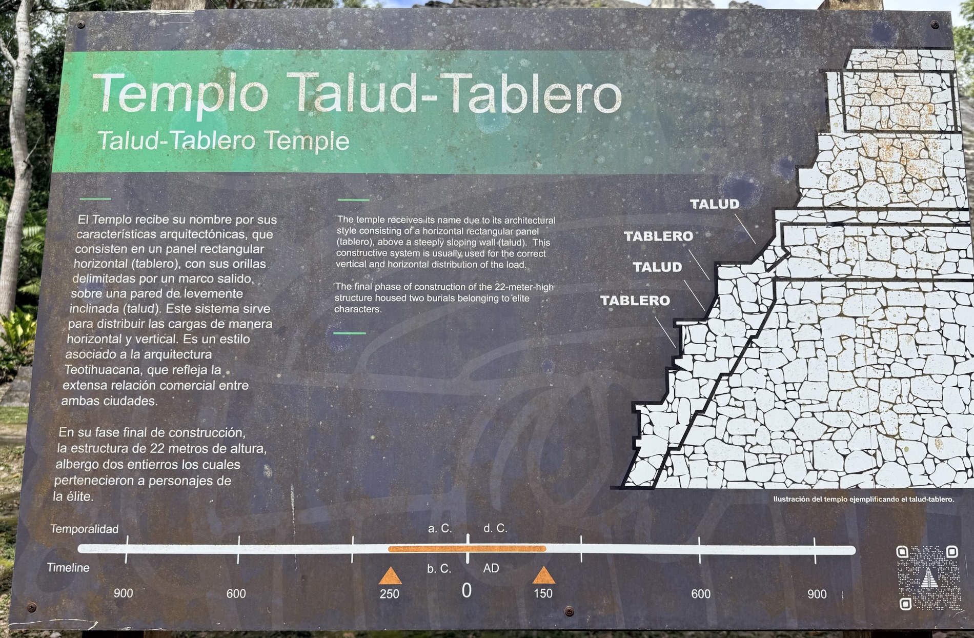
I learned that the Edificio Teotihuacano (Teotihuacan Style Building) has a Teotihuacan construction style, with use of the Talud-Tablero. It has representations of the god of rain, Tlaloc. It is nicknamed “Embassy.” I learned that there is a long history of interactions, both positive and negative between Tikal and Teotihuacan.
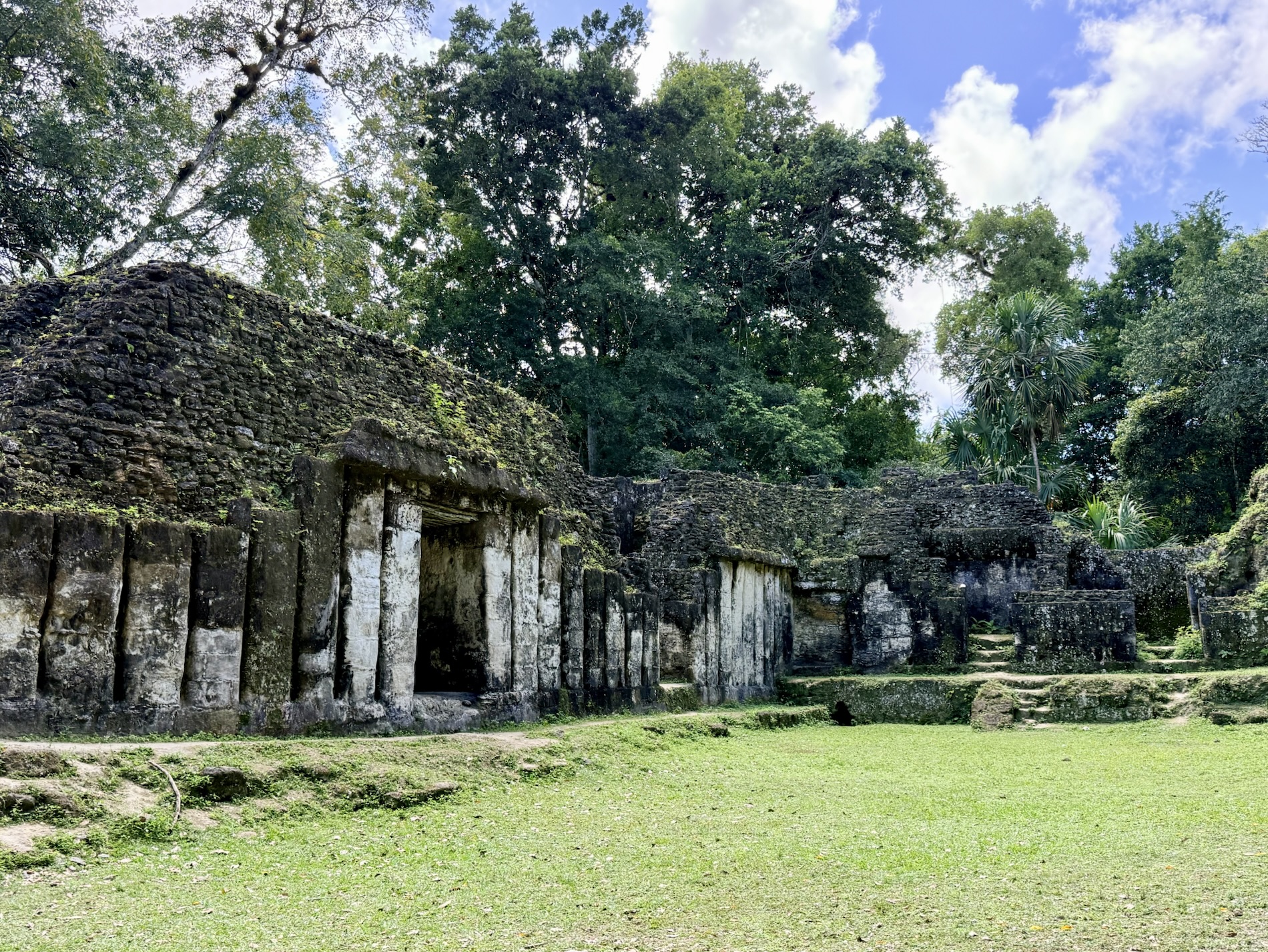
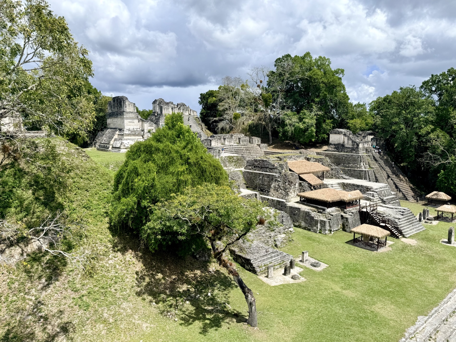
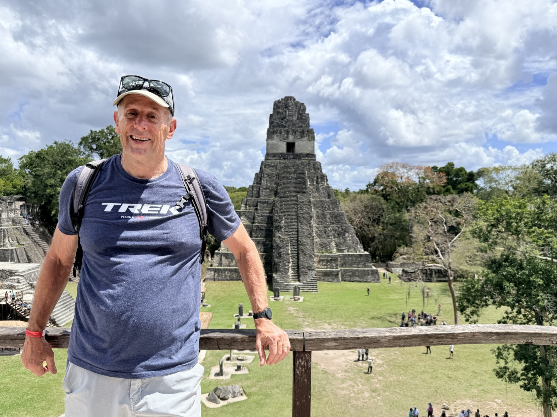
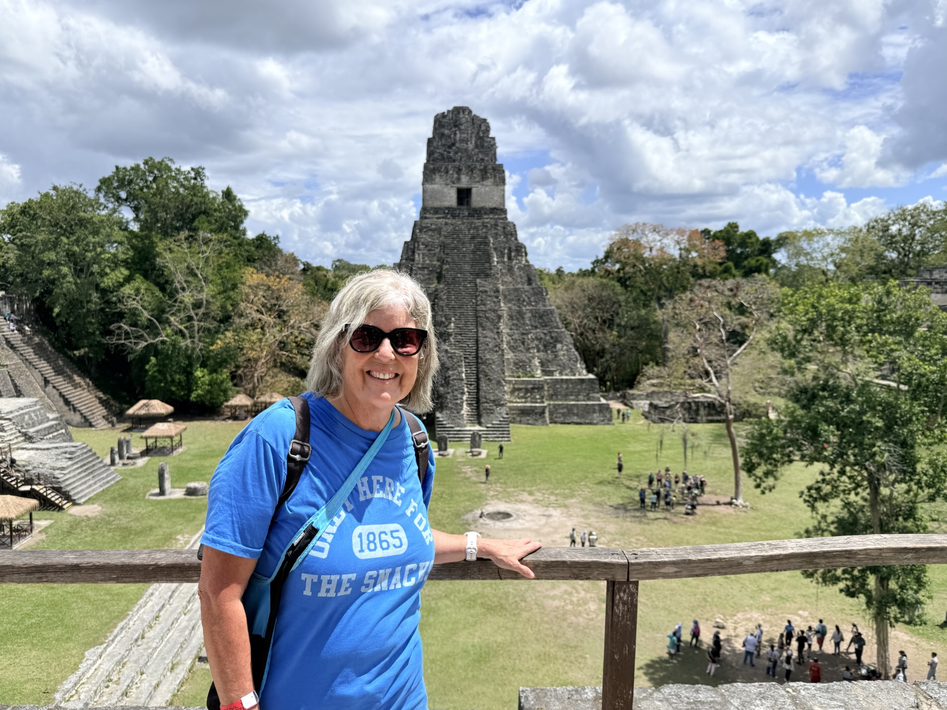
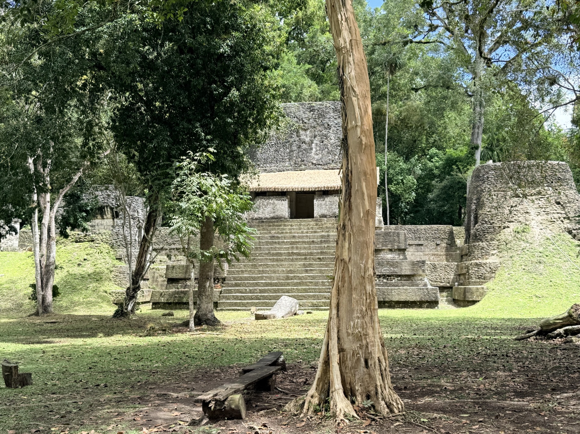
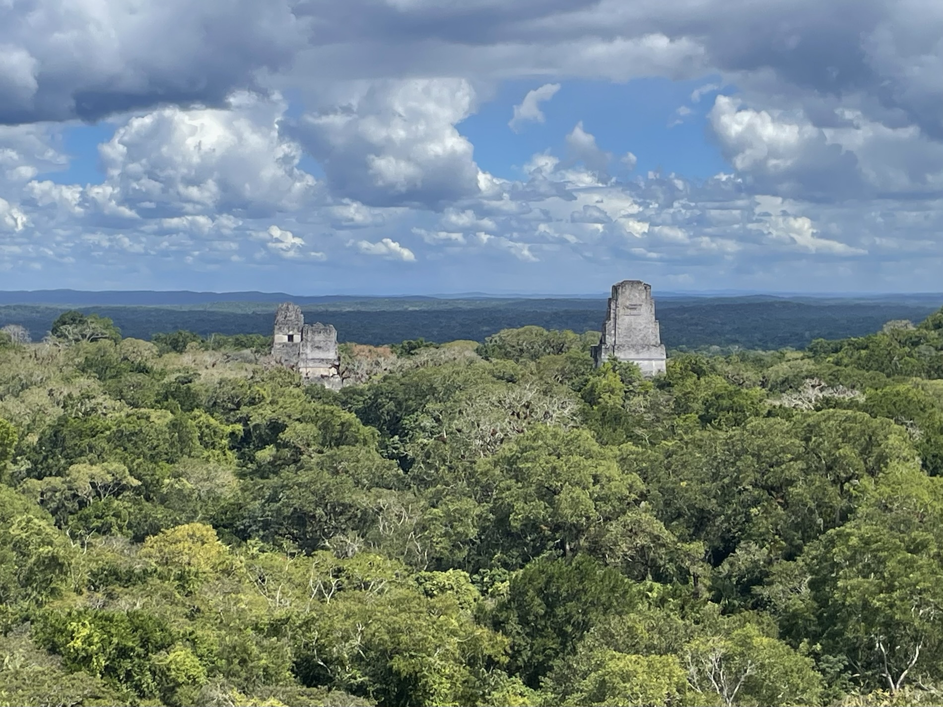
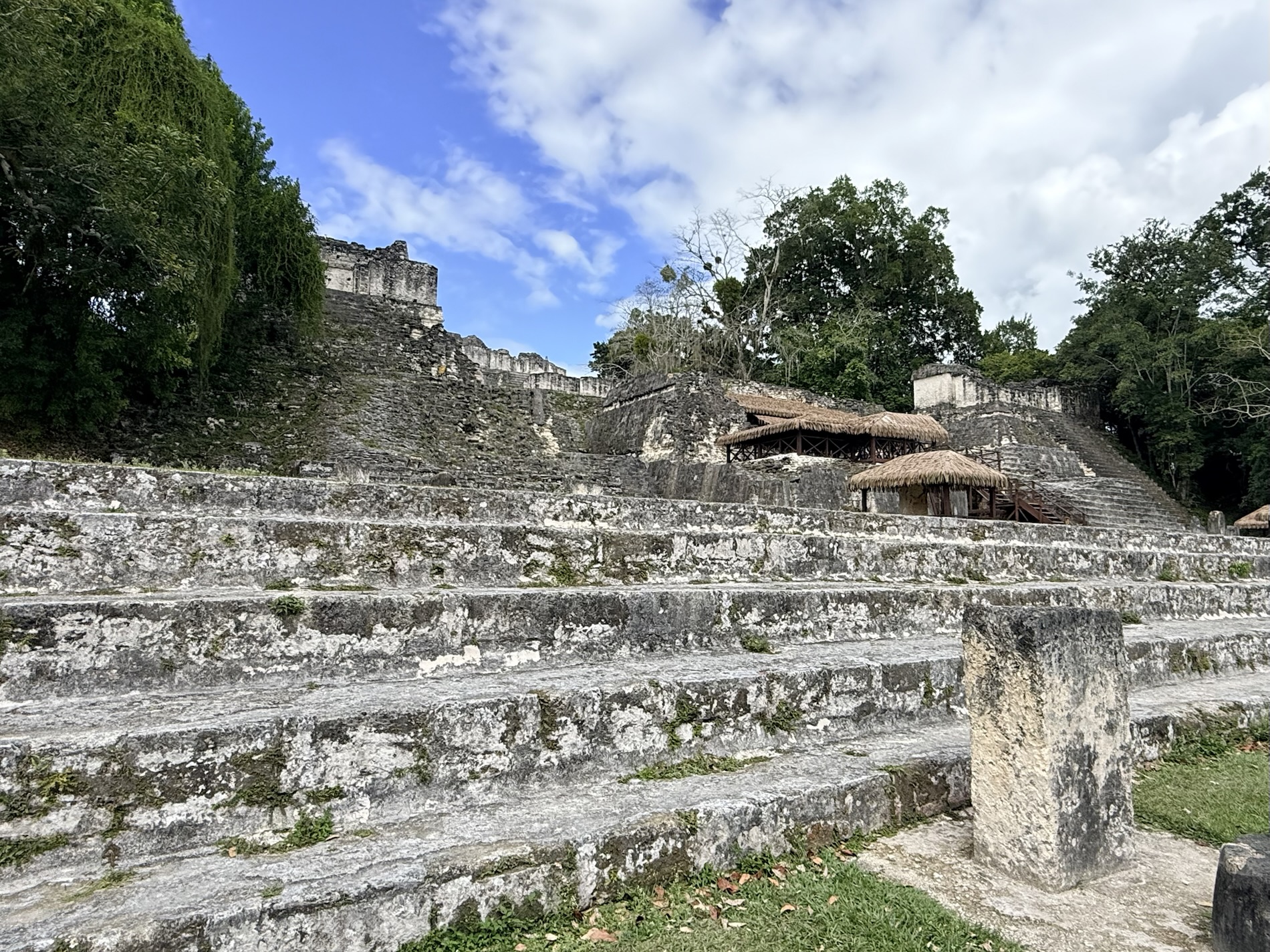
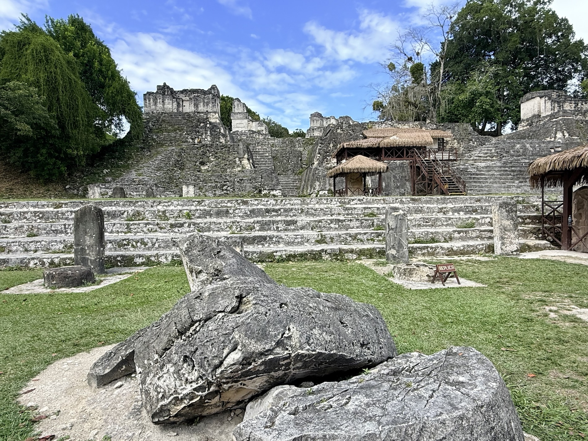
I learned that the Gran Plaza contains Templo I and Templo II. These are the site’s most iconic structures and were largely excavated and restored in the 1950s and 1960s by the University of Pennsylvania.
Here’s a very short video of the Gran Plaza, with views of Templo I and Acropolis Norte from Templo II.
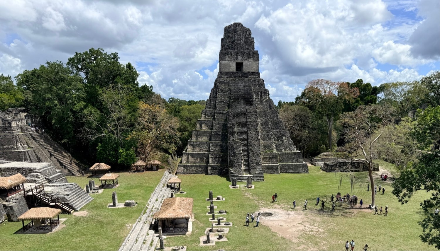
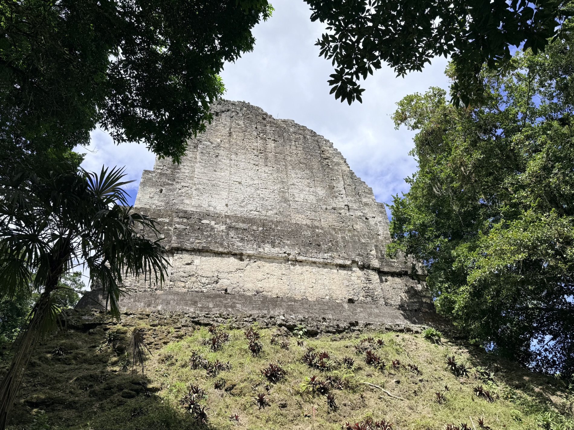
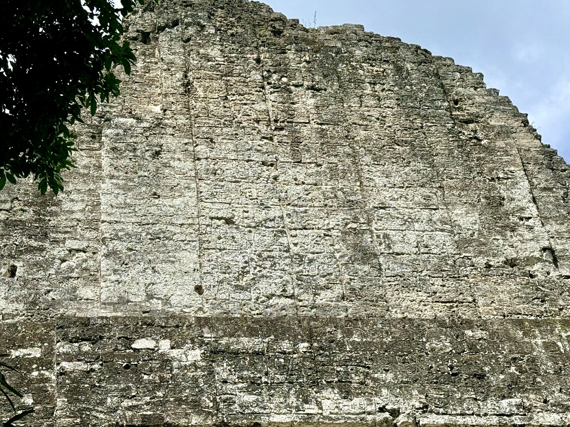
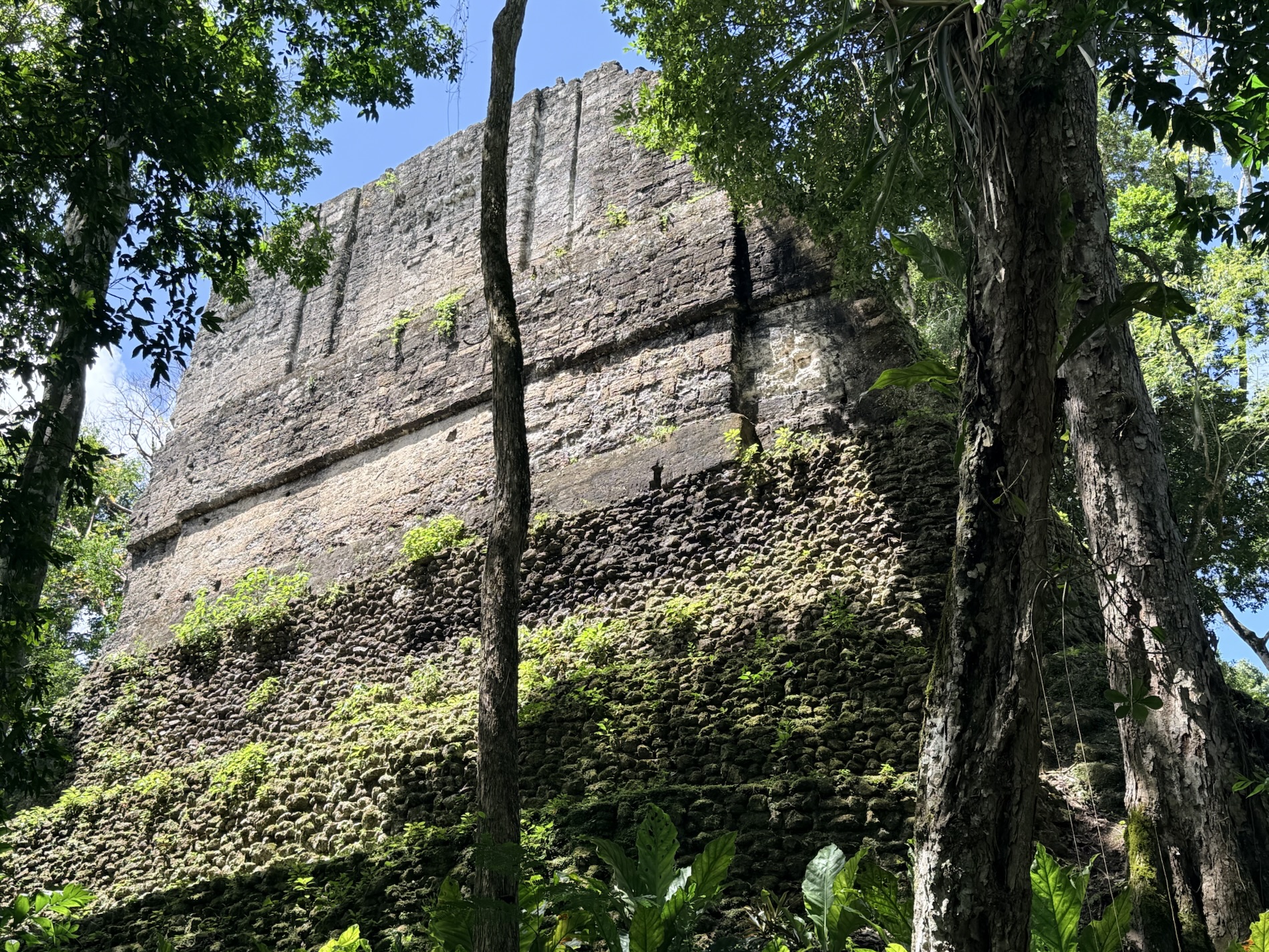
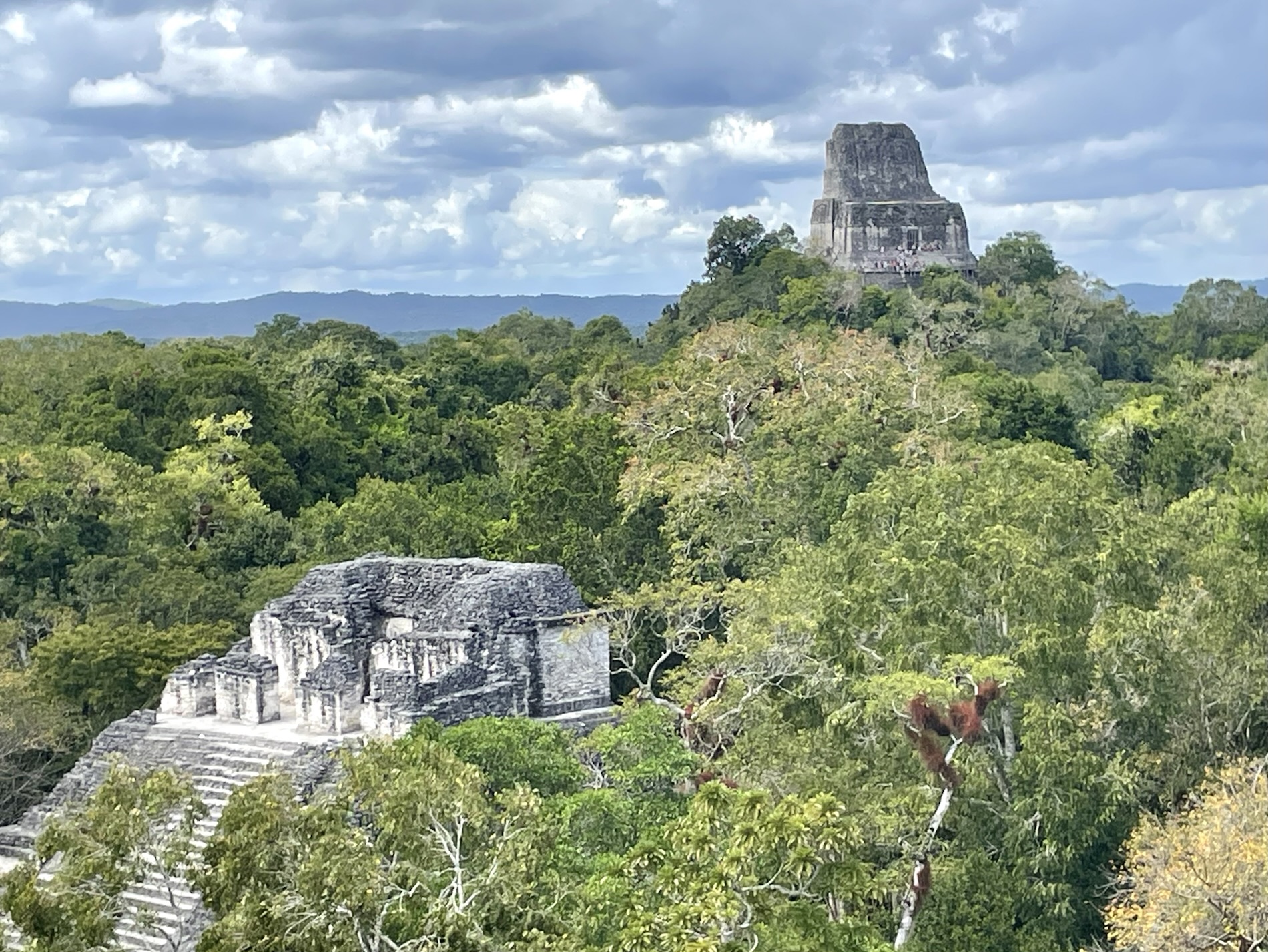
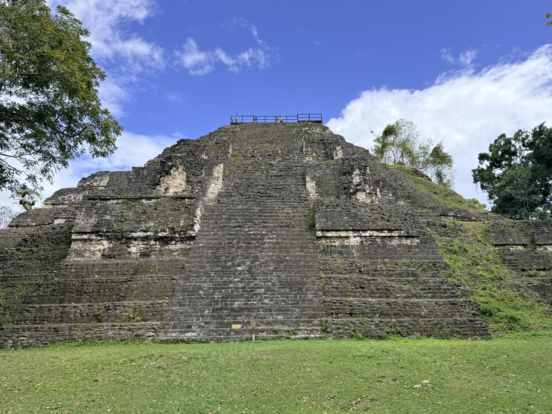
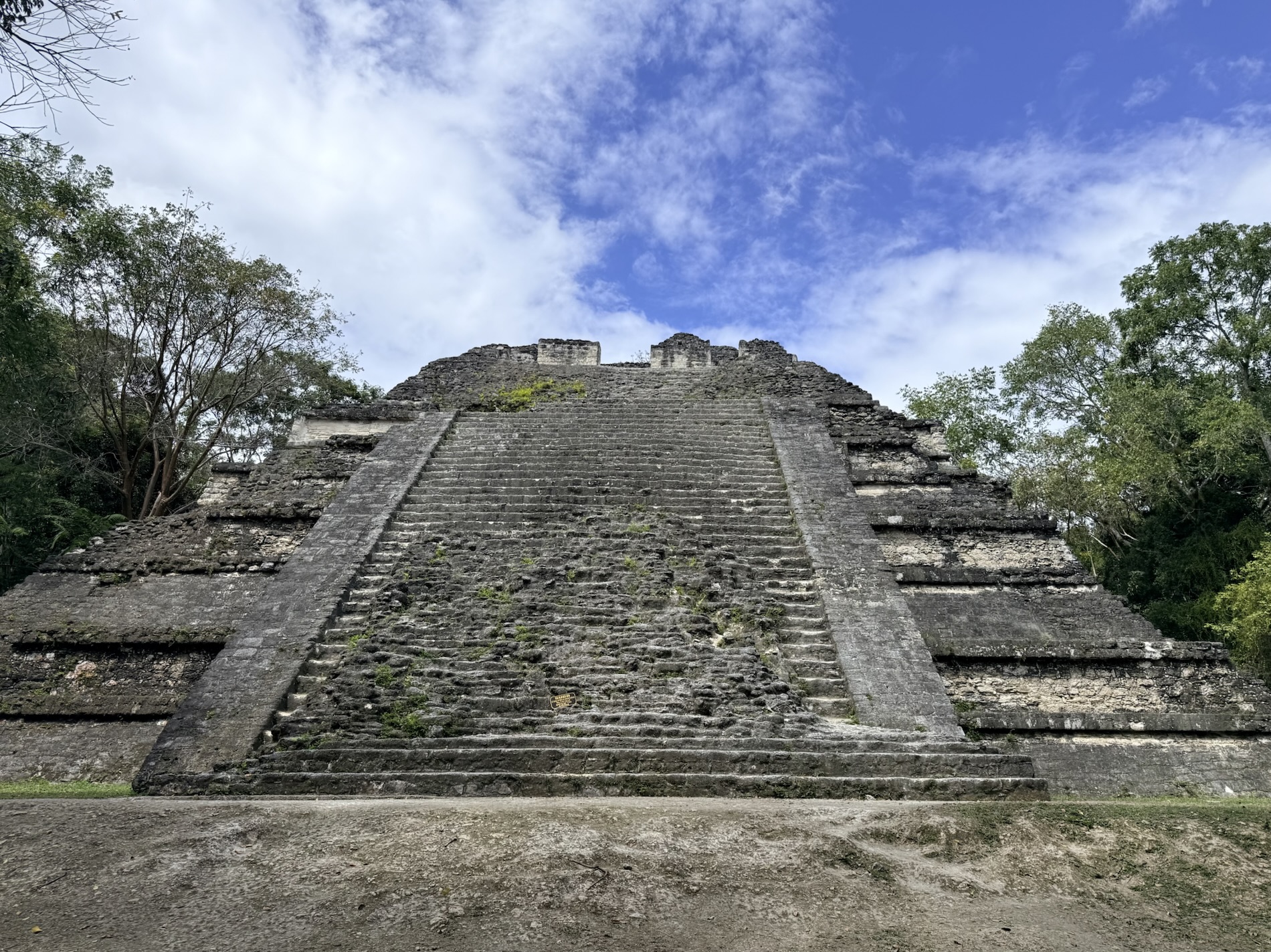
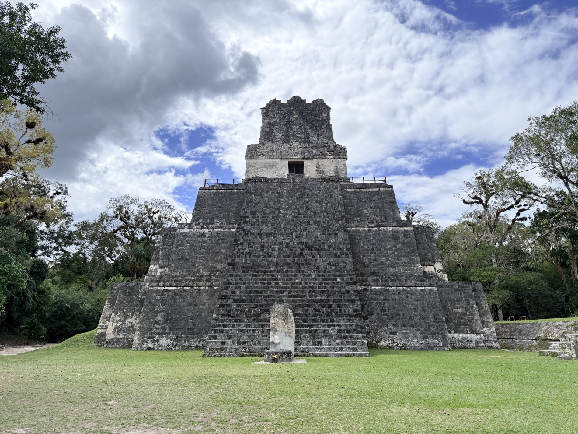
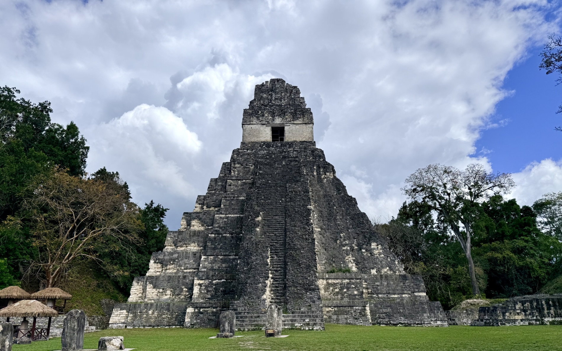
Templo I (Temple of the Great Jaguar) is a funerary pyramid dedicated to Jasaw Chan K’awil who was entombed in the structure in AD 734. The 47m (157 ft) pyramid was completed in AD ~740-750.
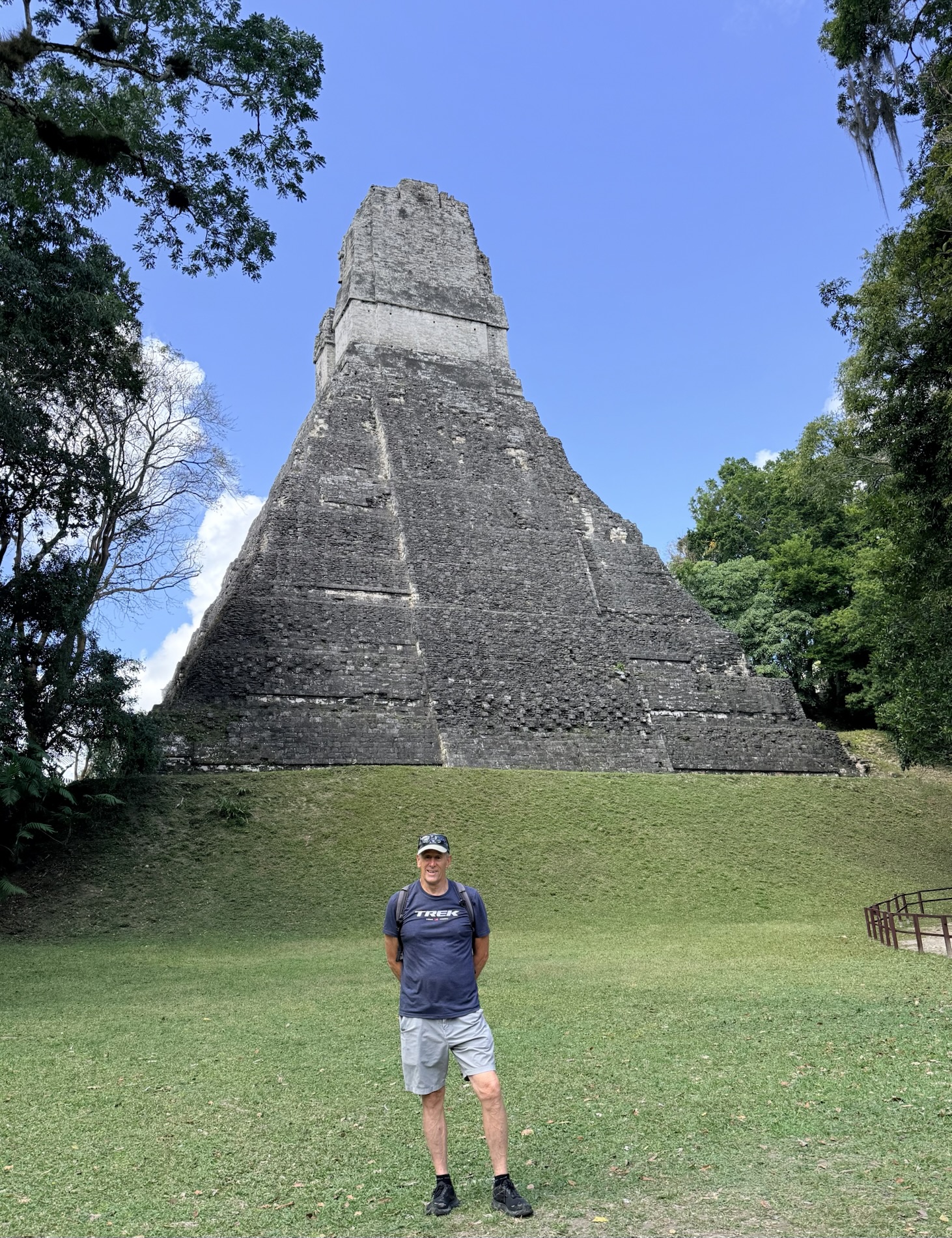
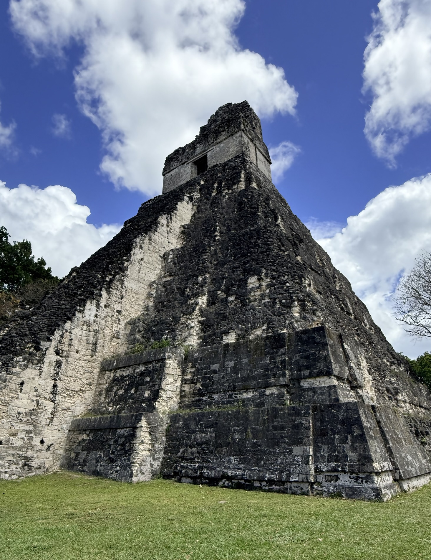
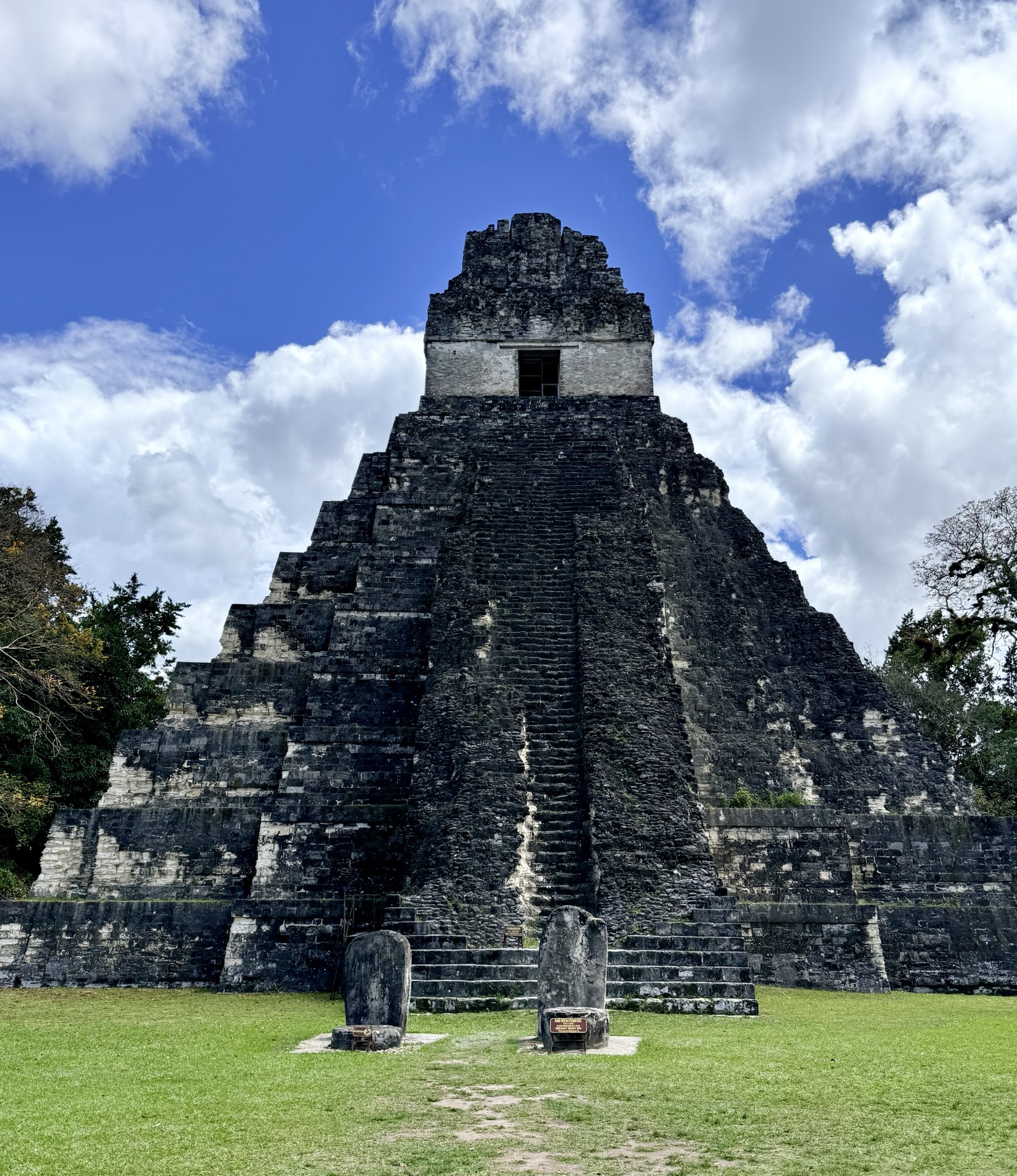
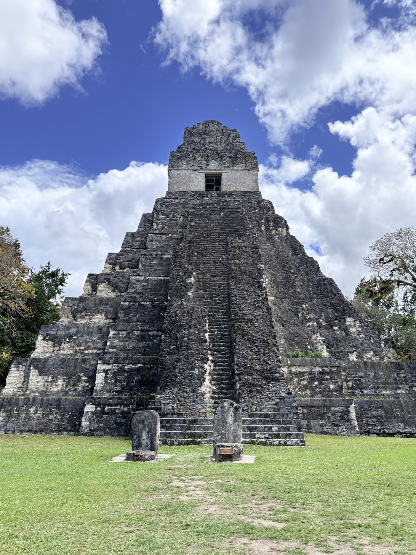
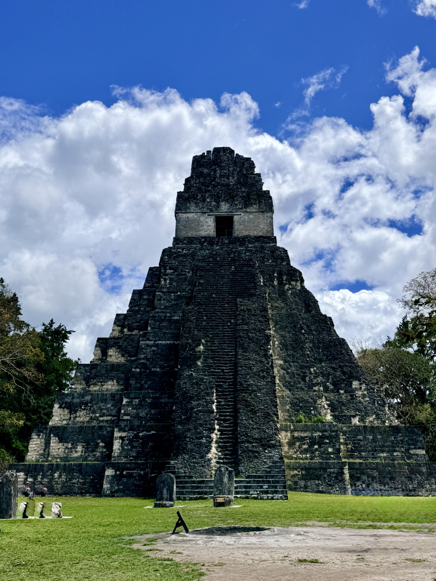
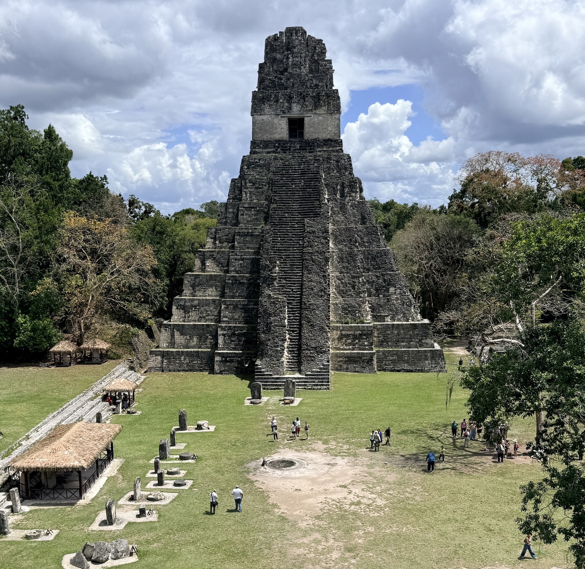

I learned that Jasaw Chan K’awil was an ajaw (similar to “leader,” “ruler,” “lord,” “king,” or similar titles depending on the individual) of the Maya city of Tikal from 682-734 AD. He was one of the most venerated of Tikal’s rulers because his defeat of the rival Maya city of Calakmul in 685 was seen to represent a resurgence in the strength and influence of Tikal after a 130-year-long hiatus in the city’s influence. I learned that we could see his burial items in the National Museum of Mayan Art: Archeology and Ethnology in Guatemala City.
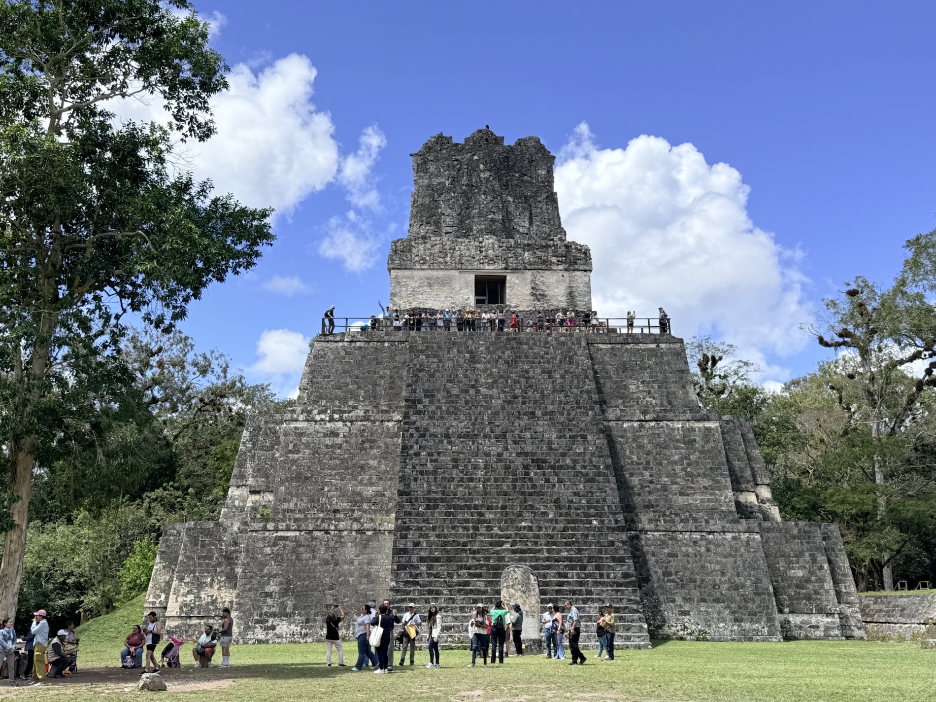
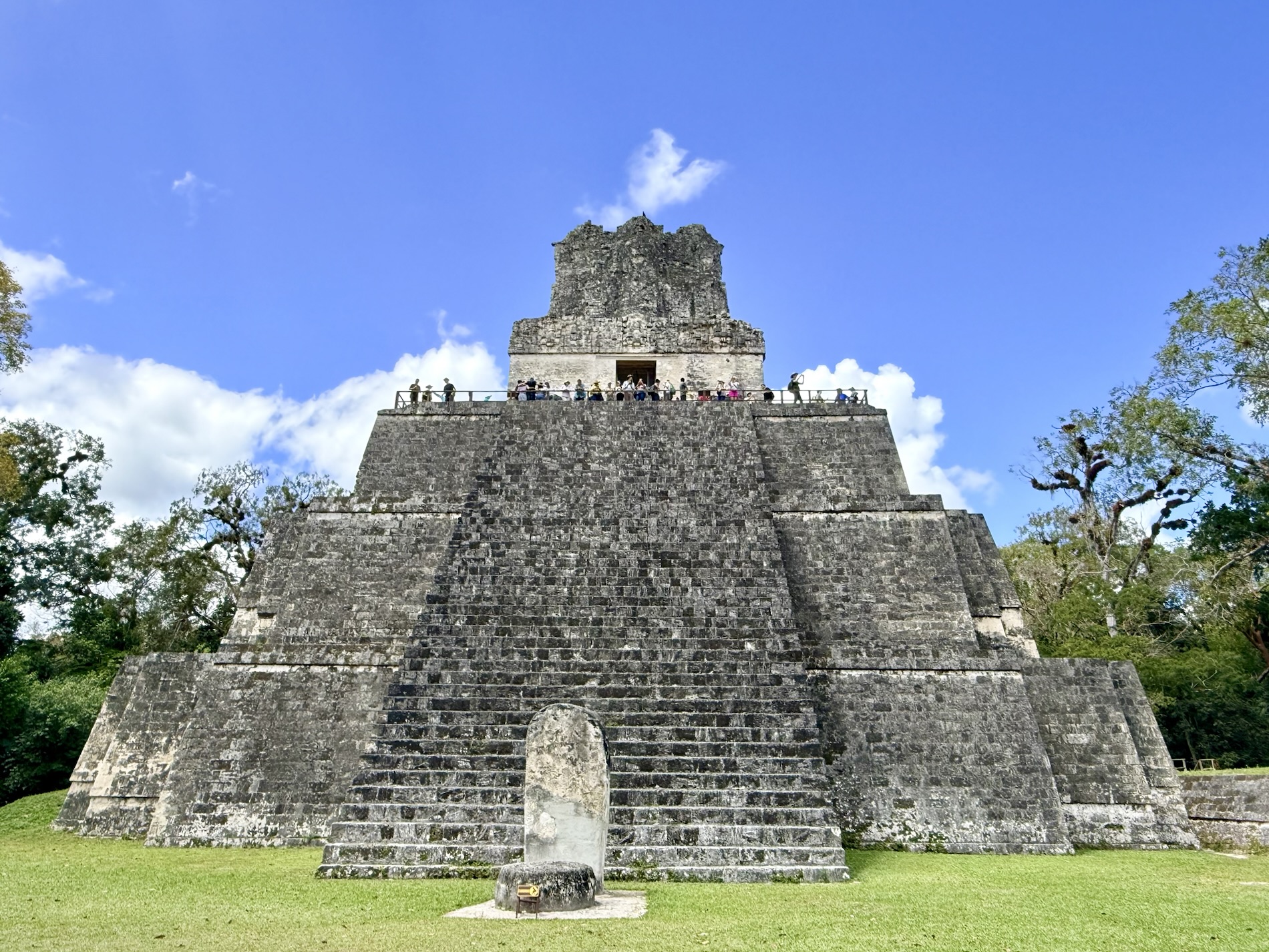
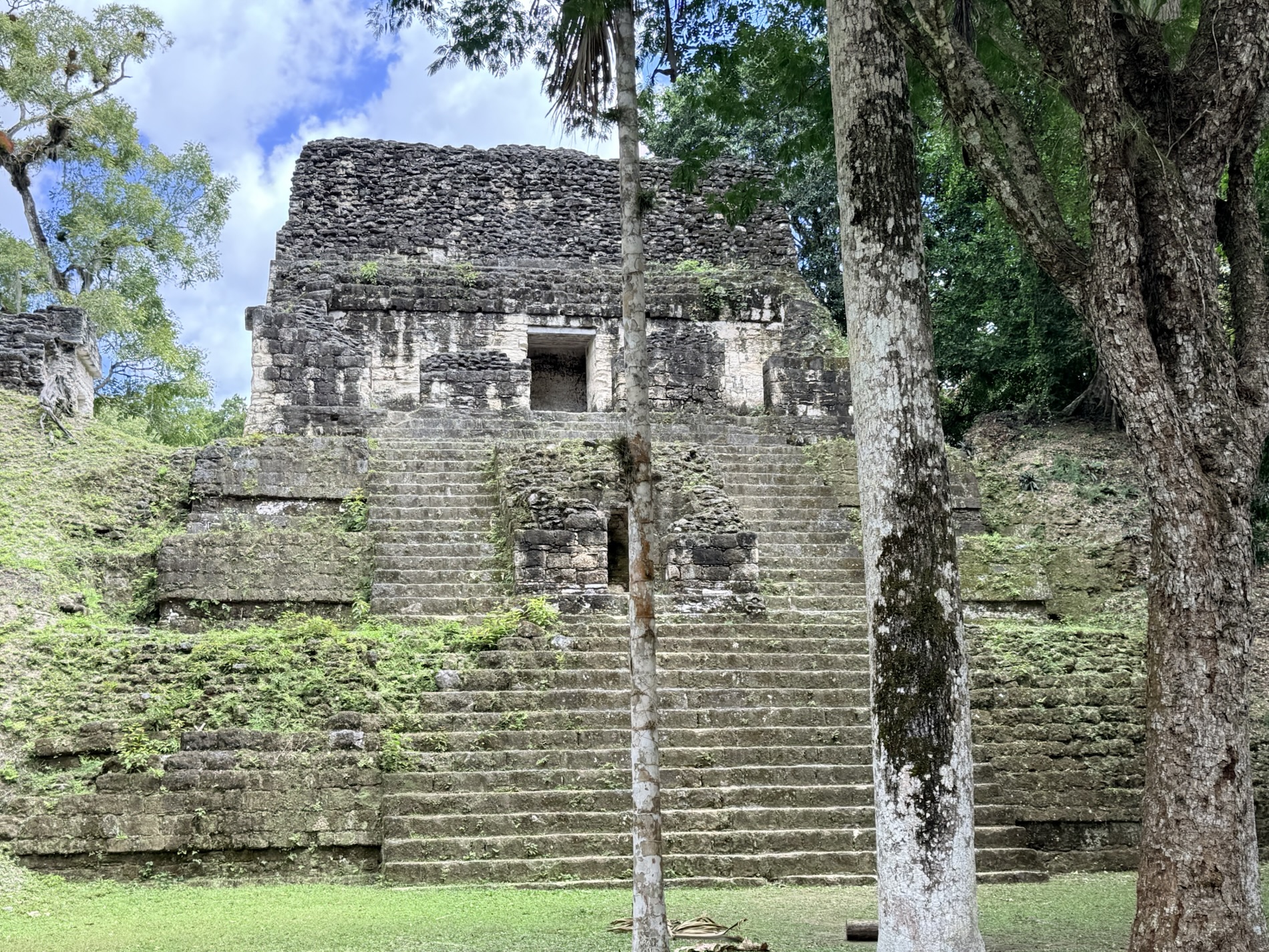
I learned that the 38m (125 ft) tall Templo II (Temple of the Mask) was built in AD 700 and was dedicated to the wife of Jasaw Chan K’awil, although no tomb was found. We were able to climb this temple via wooden steps on the back of the pyramid to have a view of the Gran Plaza.
I learned that the 52m tall Templo V was the first great temple built by the 22nd ruler of Tikal, Animal Skull, in 600 AD. It is oriented to the north facing the Acropolis, the same area where previous rulers were buried. Offerings there included obsidian, shell and ceramics.
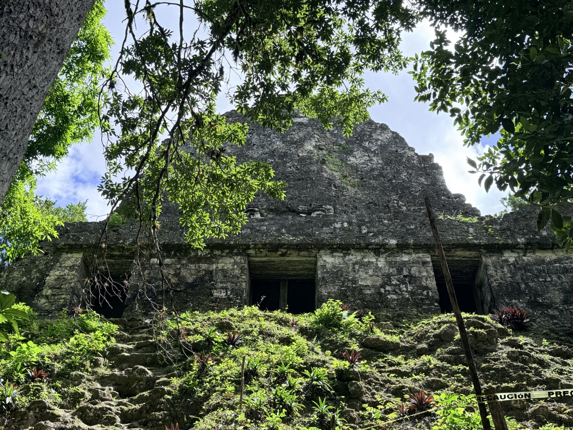
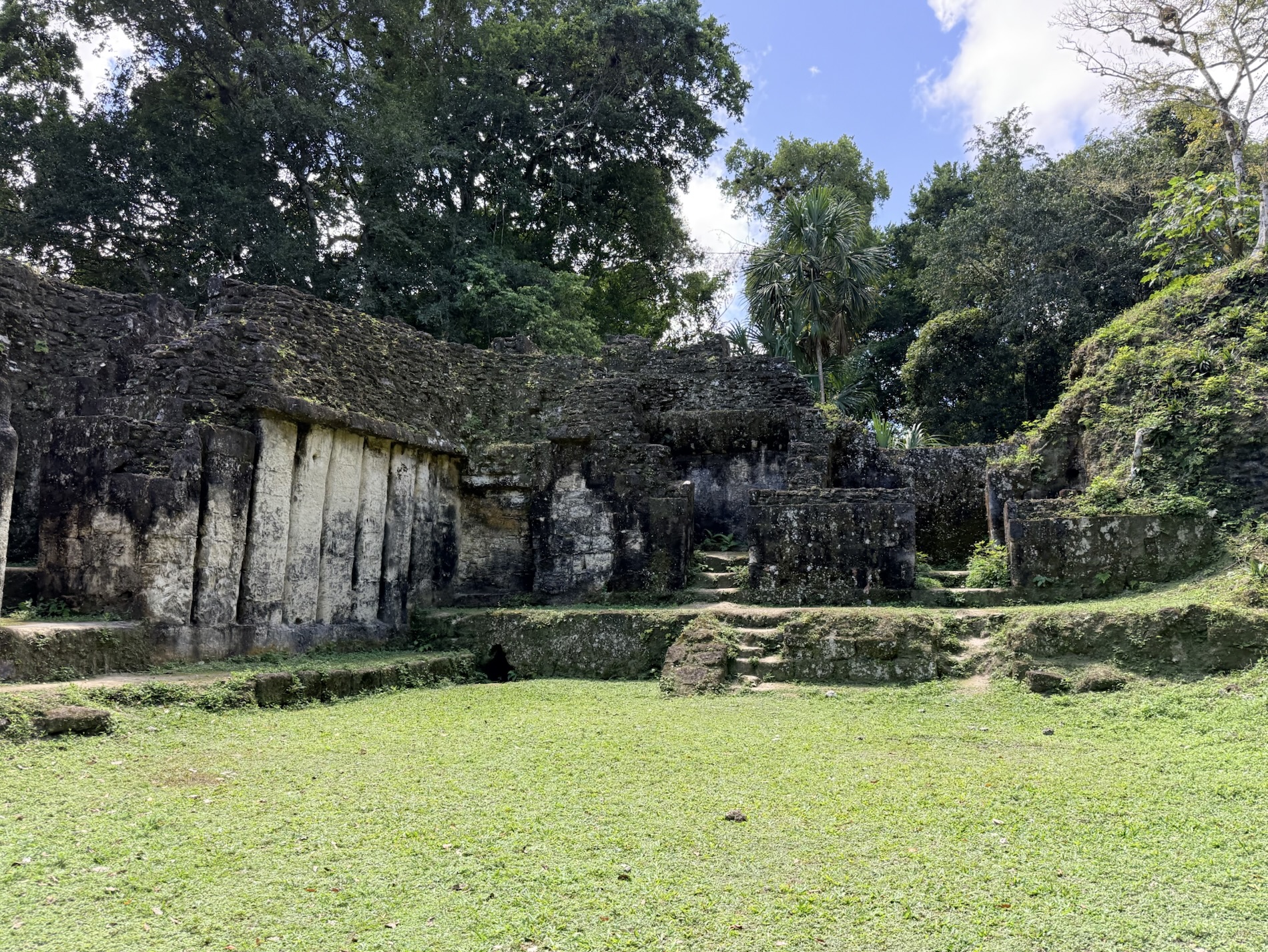
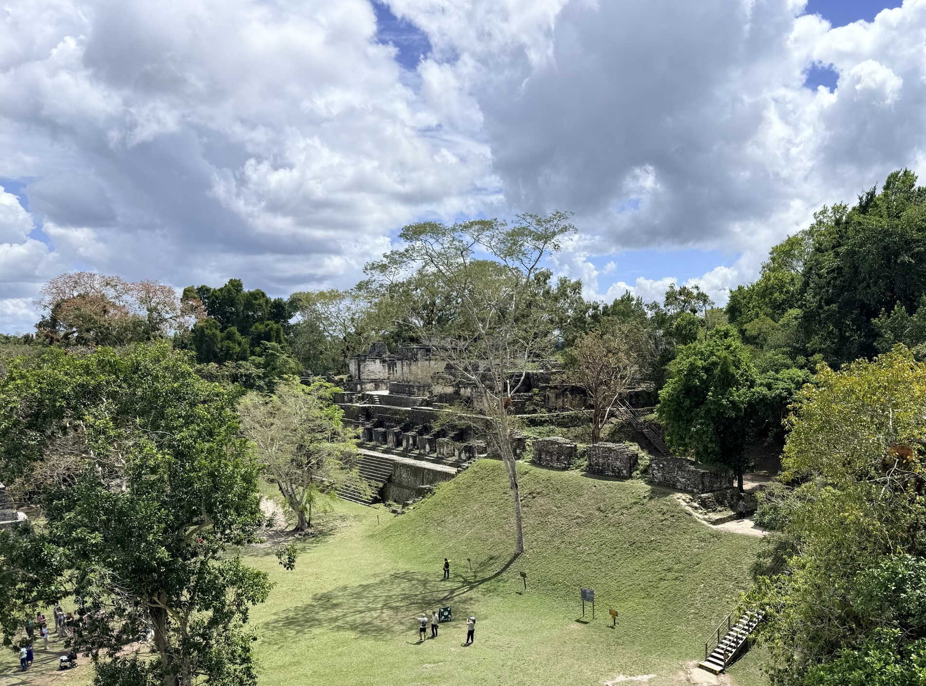
I learned that Plaza de los Siete Templos (Plaza of the Seven Temples), covering 25,000 square meters, was named for 7 small temples, all lined up along the east side of the plaza. It includes three ball courts and three administrative-residential buildings. The plaza was conceived to carry out the ritual of the triple ball game, a unique architectural element in all of Mesoamerica.
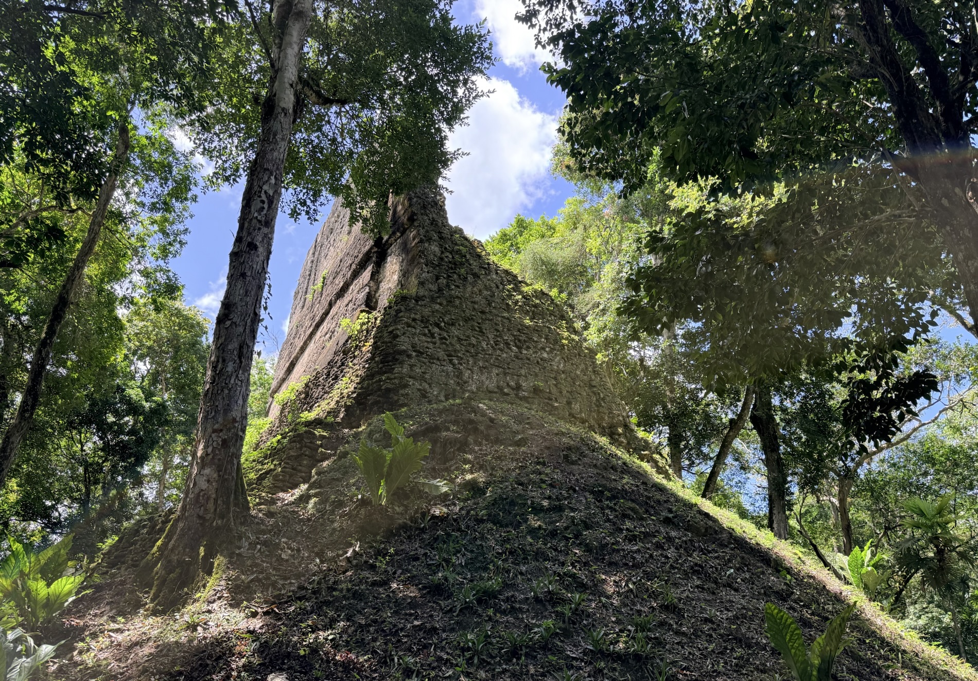
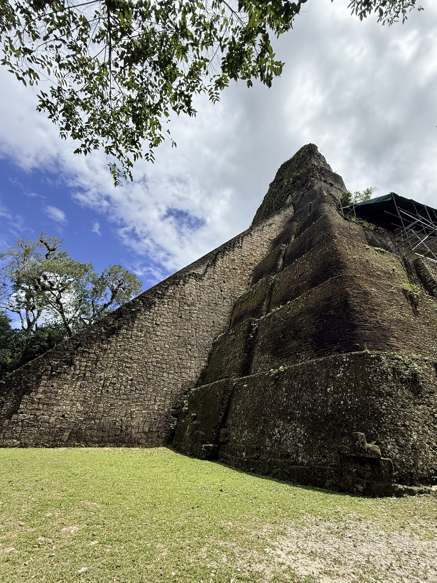
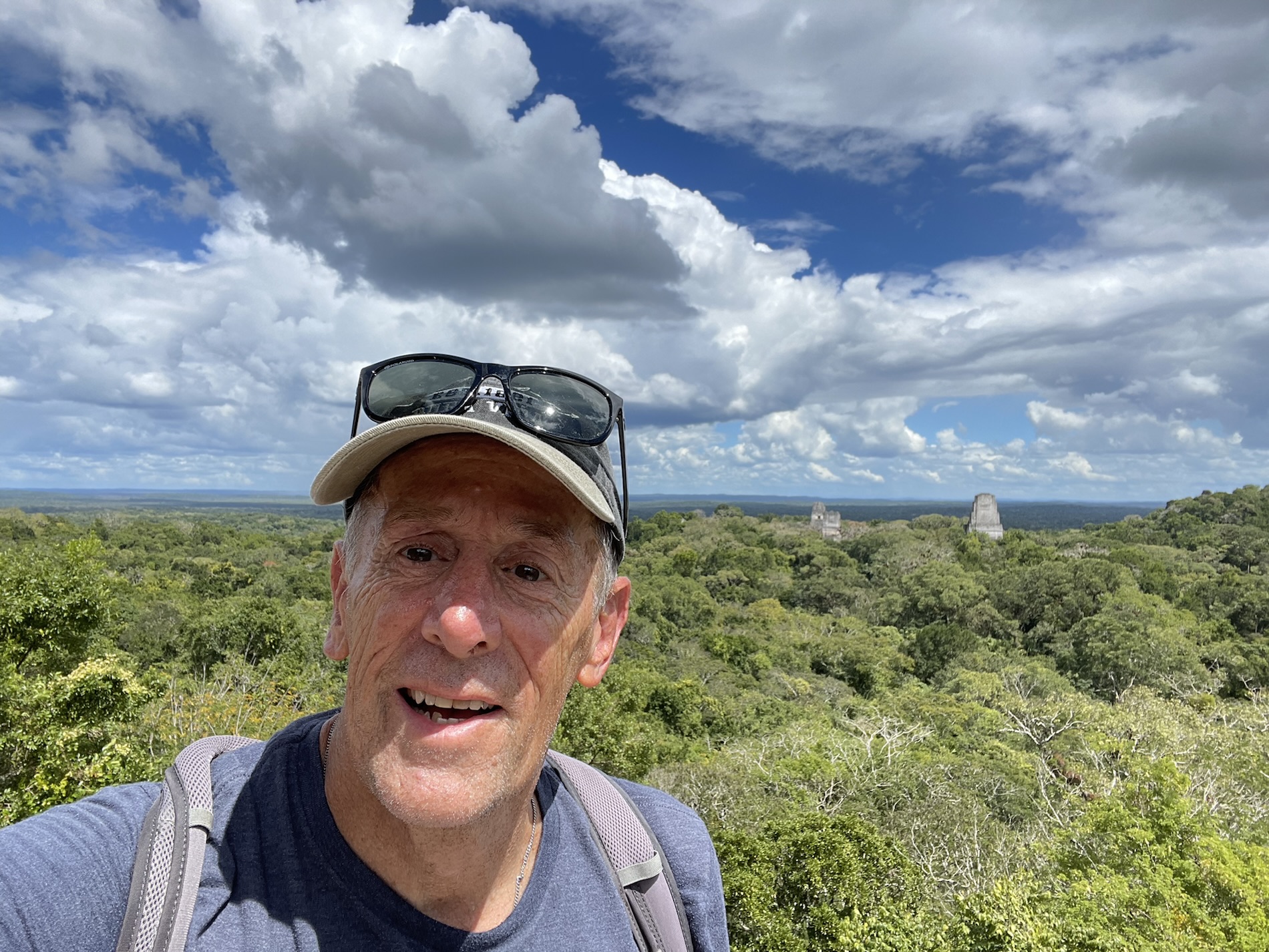
I learned that by this time in our wanderings I was exhausted and sweating like a thermal waterfall, so I didn’t feel like climbing the 30m high Gran Pirámide in the Plaza de Mundo Perdido (Lost World). Mike, however, did climb and got some excellent photos from the top of Tikal’s other temples rising above the jungle. Covering 60,000 sq. m., this plaza contains 38 structures, one of which was designed as an astronomical complex. A square-shaped structure with stairways on all four sides, bordered by stylized masks, the Gran Pirámide is the main structure of the complex. It was designed to observe the stars and solar cycles. It was built between 250 BC to 150 AD. It was difficult to get a photo of this pyramid because of all the foliage surrounding it.
I learned that the Templo Talud-Tablero (Talud-Tablero Temple) was named for an architectural style consisting of a horizontal rectangula panel (tablero) above a steeply sloping wall (talud). It housed two burials belonging to elite characters and was built between 250 BC -150 AD.
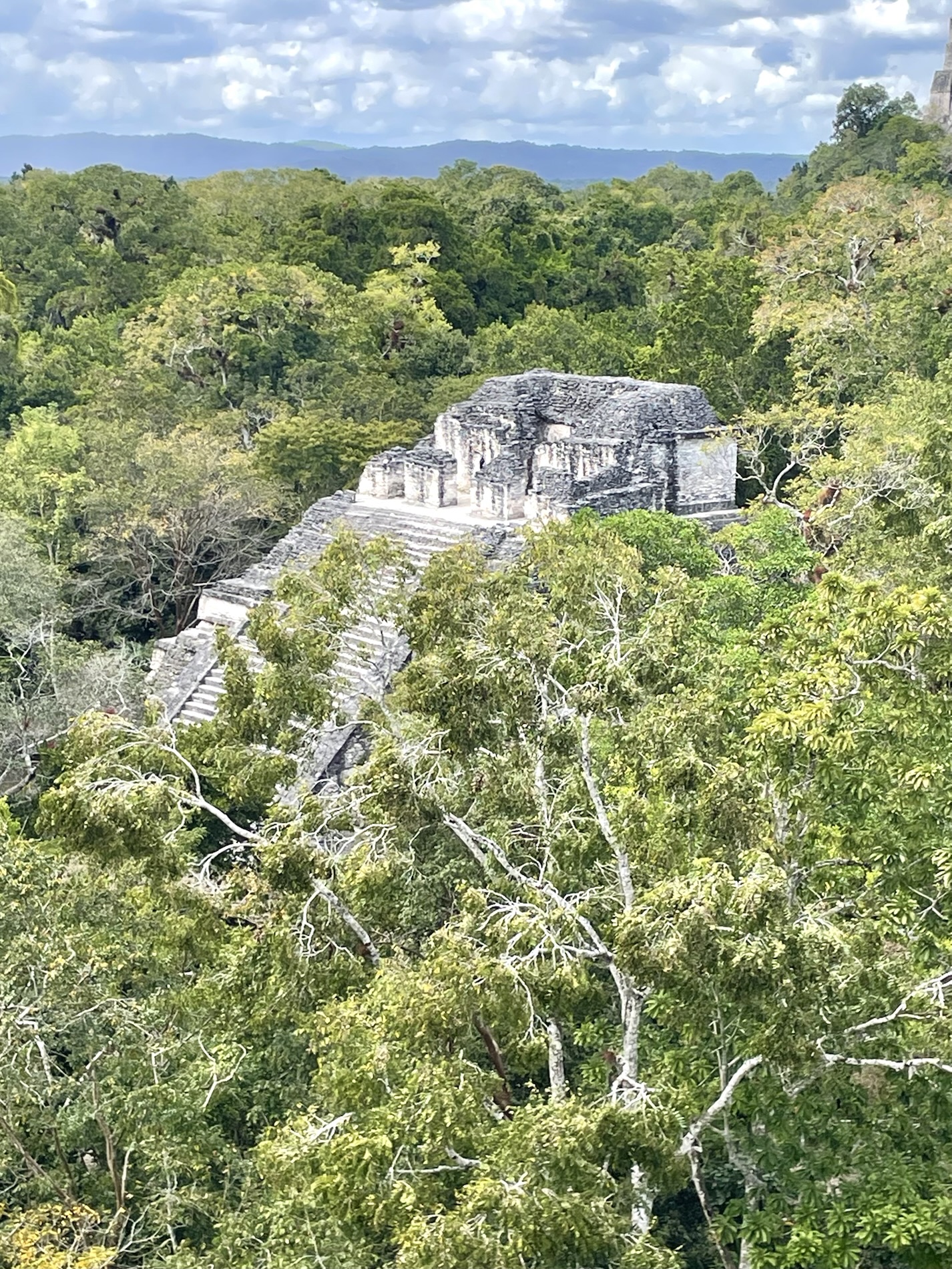
I learned that Templo IV is the largest construction associated with Ruler B of Tikal. It is 64.6m high and is considered one of the most iconic pre-Columbian structures in Tikal. Mike climbed this for views of other temples jutting skyward from the jungle surrounds.
Finally, I learned that Acrópolis Norte was a burial ground or acropolis. This was a sacred place where evidence of royal burials have been found. It was occupied for 1,500 years as demonstrated by numerous constructions and the 16 temples are associated with ritual activities. Numerous stelae and altars found here record the history of Tikal. Other evidence has revealed that this was where the first settlers of Tikal were established.
When we returned to Flores, I learned that my brother in the hospital had half of his foot amputated today. I felt heartbroken for him, but at the same time I was relieved. The doctor had discussed the possibility of him losing all of his leg below the knee, so this was the best of the possible outcomes. Then the hospital did dialysis, which they’ll do every other day from now on. I was happy to find that my brother has now agreed to have dialysis, something he swore he would never do.
I learned that it was lovely to sit at the outside bar at our hotel to have a drink and enjoy the sunset and to watch the little boats scurrying past.
I learned that in tropical climates one should always carry an umbrella. After our last dinner at Nativo, a thunderous rainstorm began and we had to splash through puddles, dashing from one overhang to another, only to arrive home to our apartment utterly drenched. We spent our last night in Flores packing for an early departure to Belize the next morning, and watching Between Lands.

You must be logged in to post a comment.