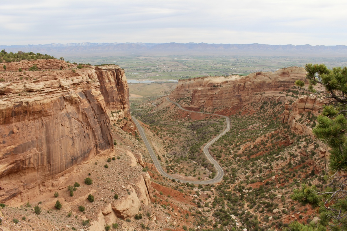
Entering Colorado National Monument, we curl our way up a winding road to the top of the 2,000-foot plateau, stopping at Redlands Overlook to check out the Grand Valley. Rocks on this northeast side of the park were displaced by the Redlands Fault some 70-40 million years ago, and later, flowing water eroded thousands of feet of rock that once rose above today’s monument and valley. Small earthquakes are still common today.

Redlands View

climbing ever upward
We stop to check out the Historic Trails View. Back in the day, ranchers herded cattle along a narrow driveway carved into the opposite canyon wall, from valley to mesa top.


We glimpse our first frosty blue berries of the Utah juniper in the pinyon-juniper forest at the Historic Trails View. We wander among curly-cup gumweed, pale evening primrose, creamtips and rubber rabbitbrush — all somehow taking root among the red and orange rocks. The fragrance of sage wafts through the dry air.
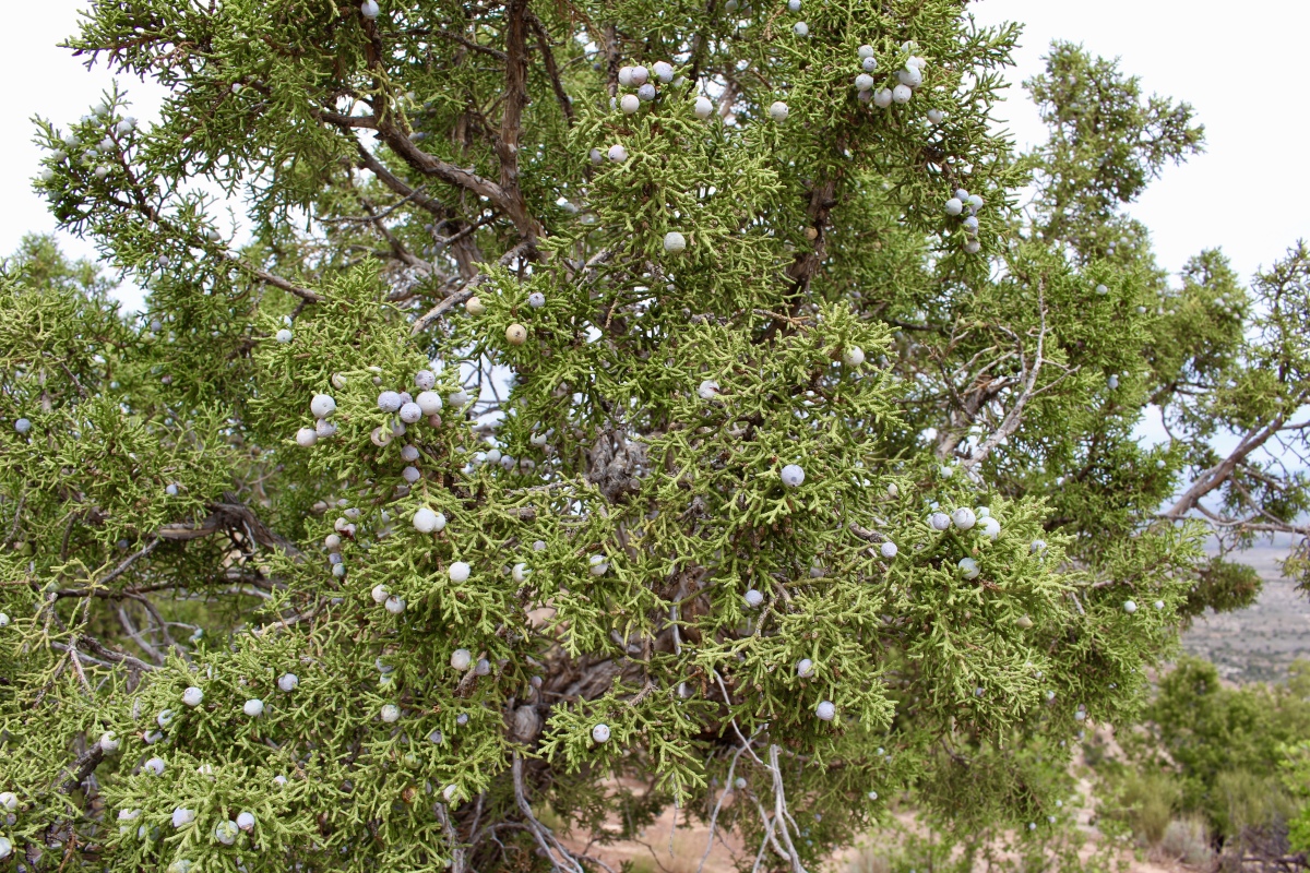
Utah Juniper
From the Fruita Canyon View we can see the fruit-growing Fruita region in the Grand Valley, as well as the road on which we came up. Opposite the valley, the Book Cliffs appear along the southern and western edge of the Tavaputs Plateau.
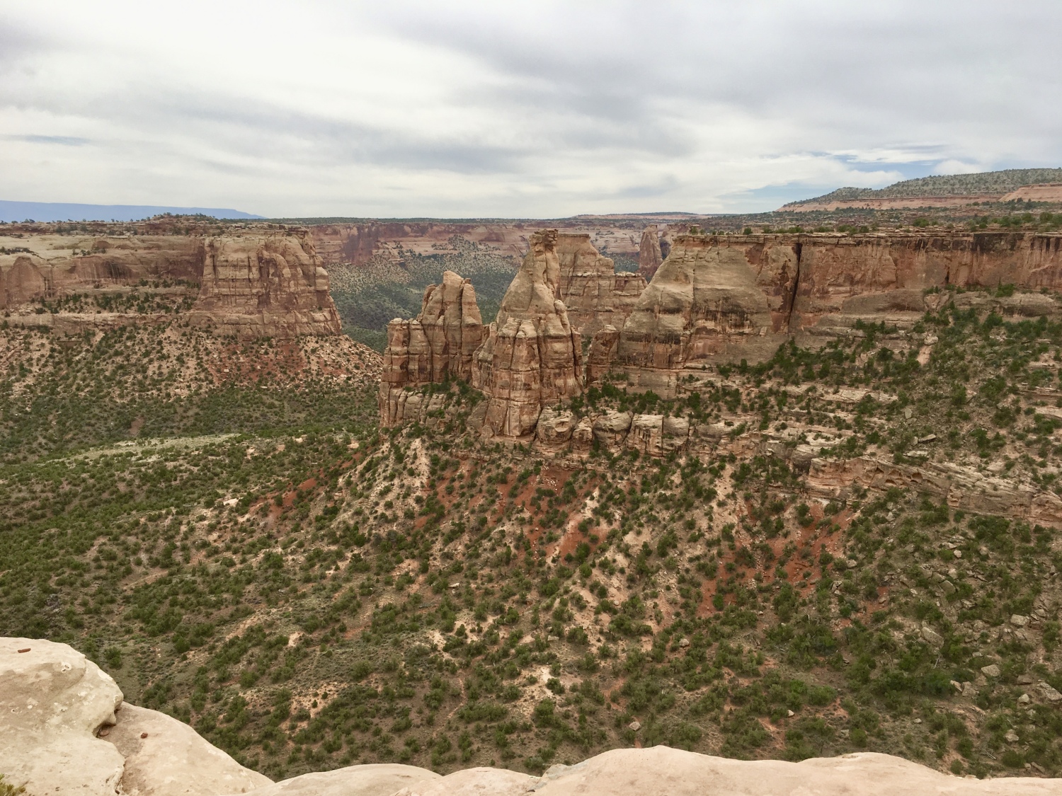
Fruita Canyon View
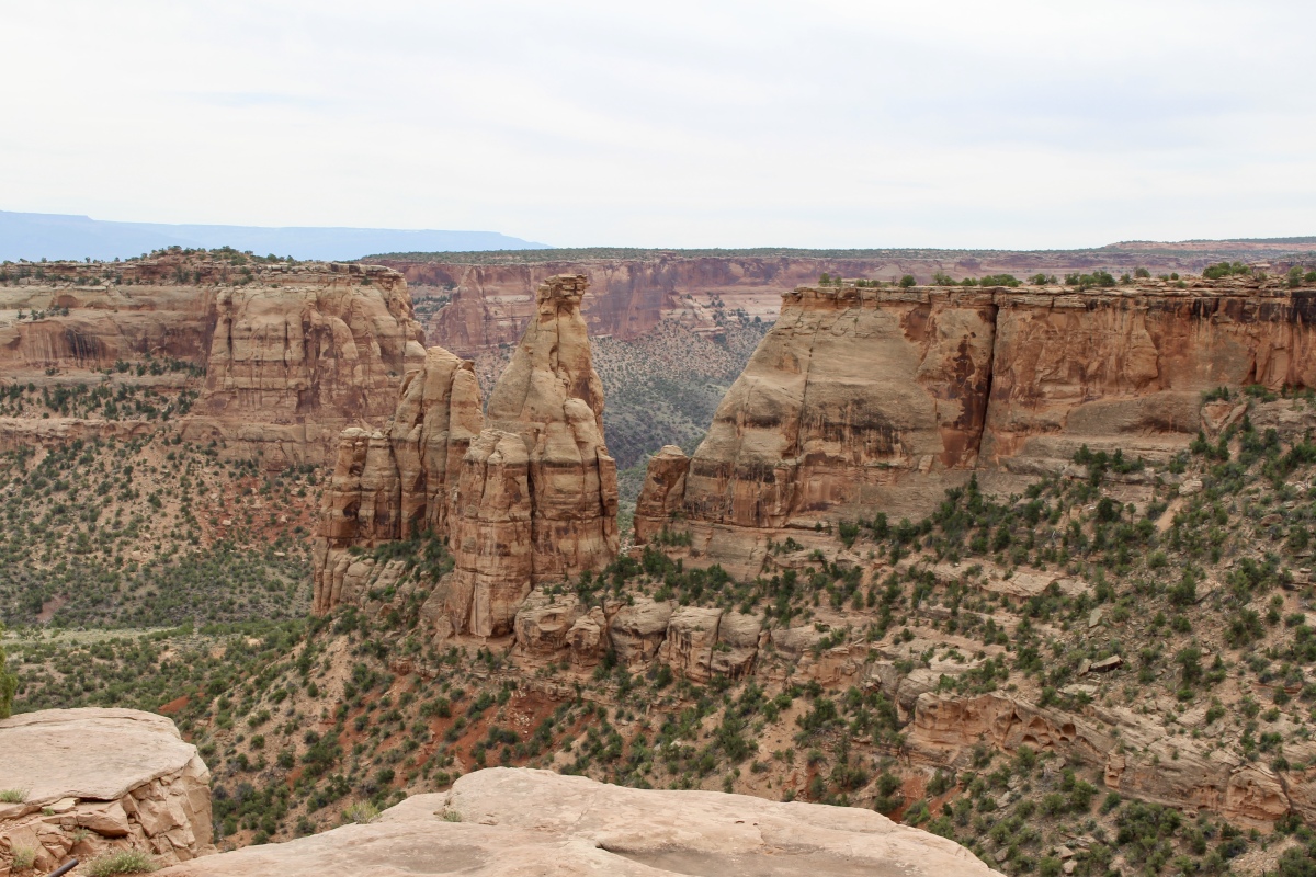
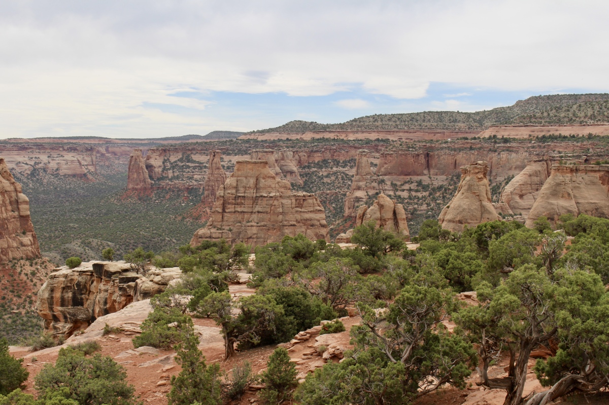
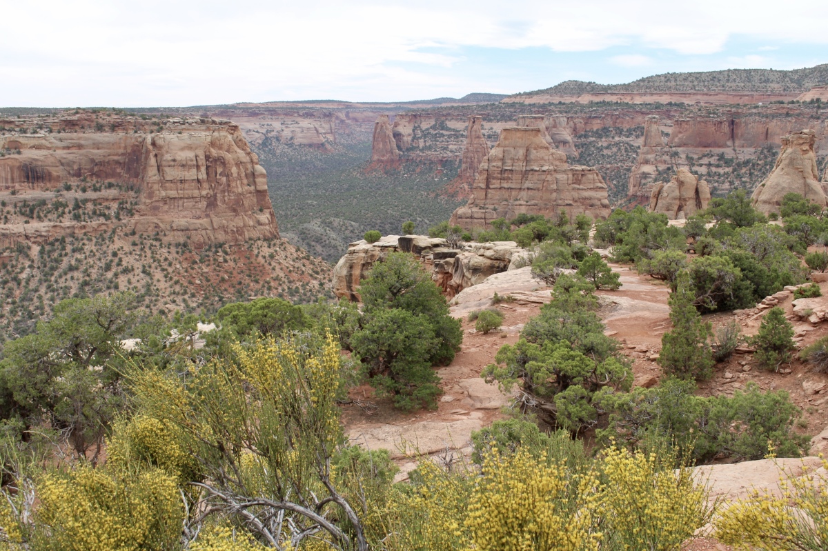
After visiting the Saddlehorn Visitor Center, we hike along the Canyon Rim Trail on ledges of Kayenta Sandstone; this trail hooks up with the Window Rock Trail. Atop the rim, we get our first glimpse of Wedding and Monument Canyons, with their pinyon-juniper forests and monoliths with names such as Praying Hands, Pipe Organ, Kissing Couple and Independence Monument.
Canyon Rim Trail
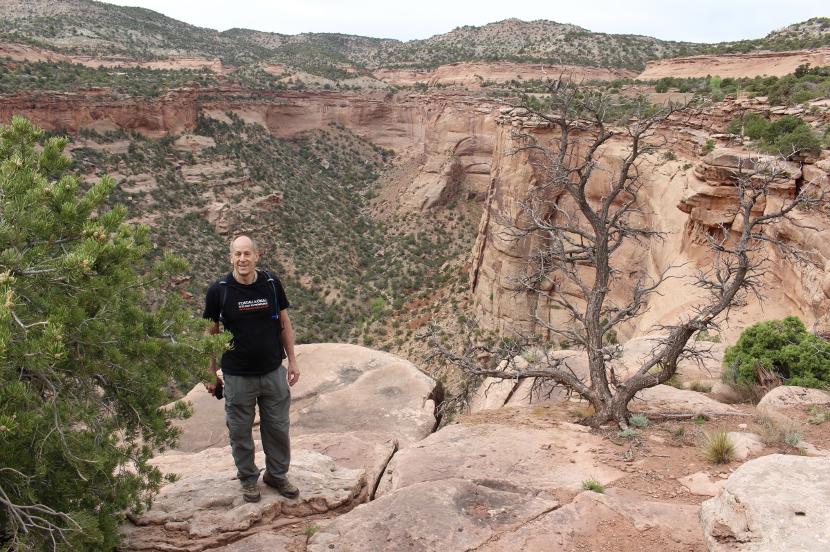
Mike on the Canyon Rim Trail
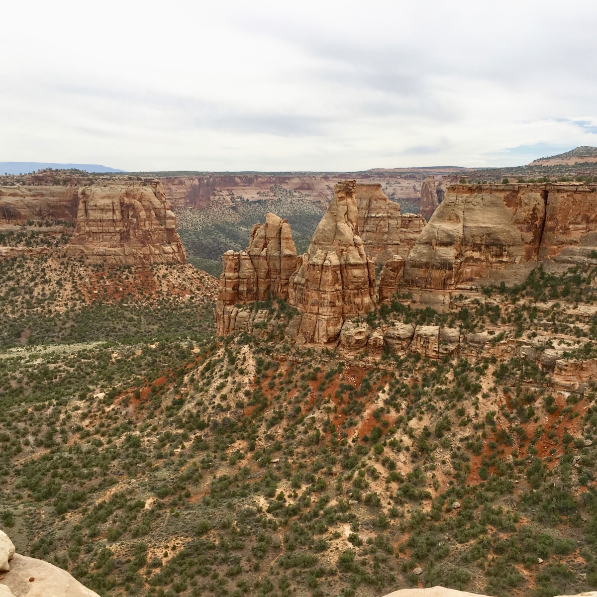
Wedding Canyon
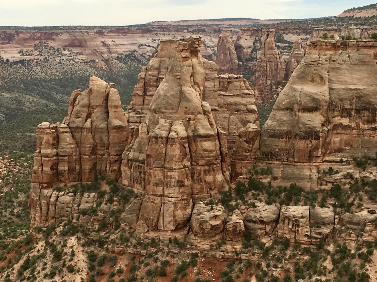
Close up of formations
We even find some little lizard friends.
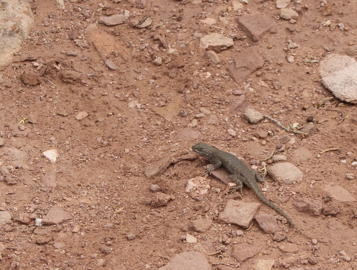
A lizard friend
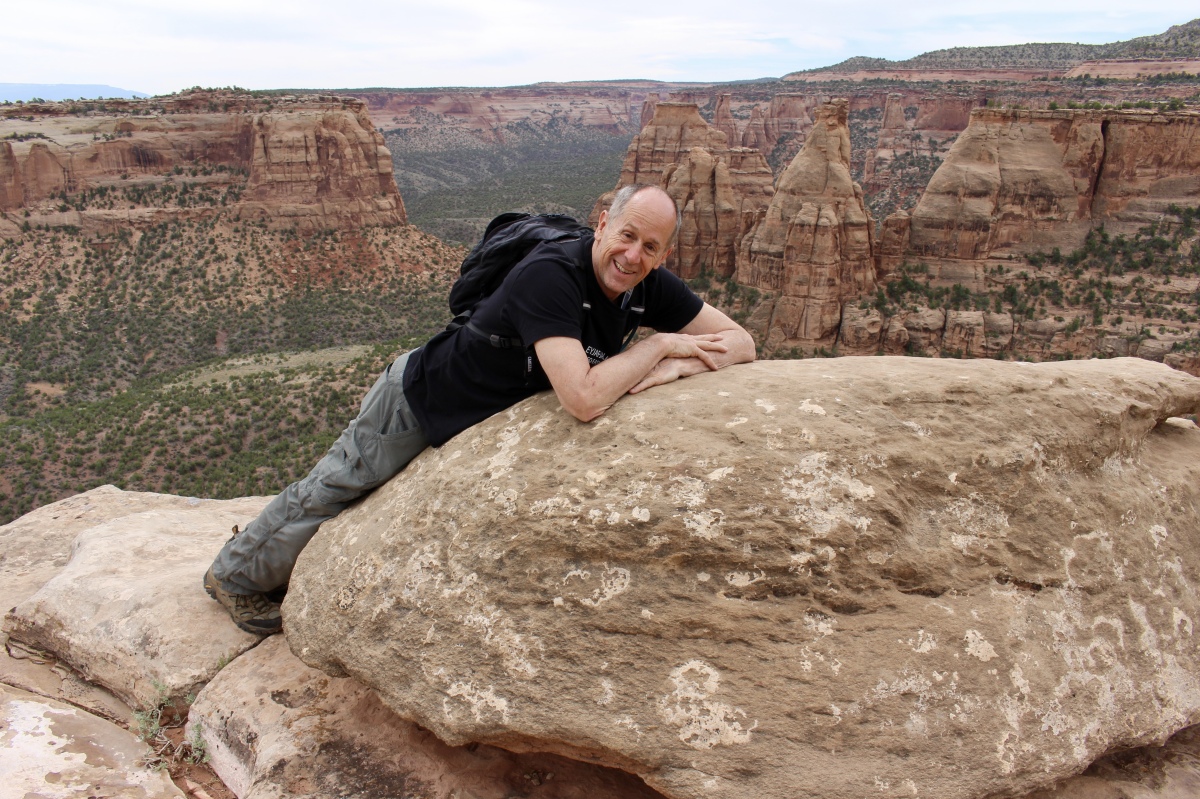
Mike on the Canyon Rim Trail
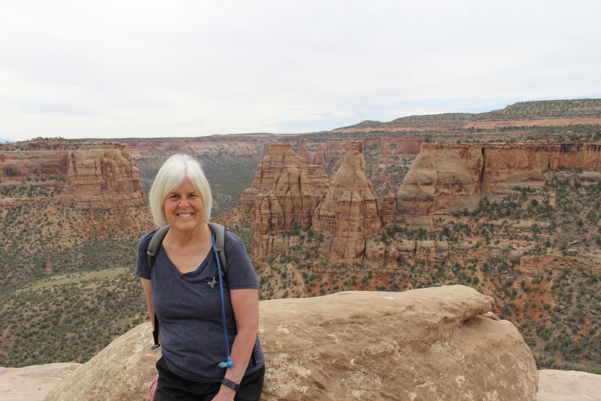
Me on the Canyon Rim Trail
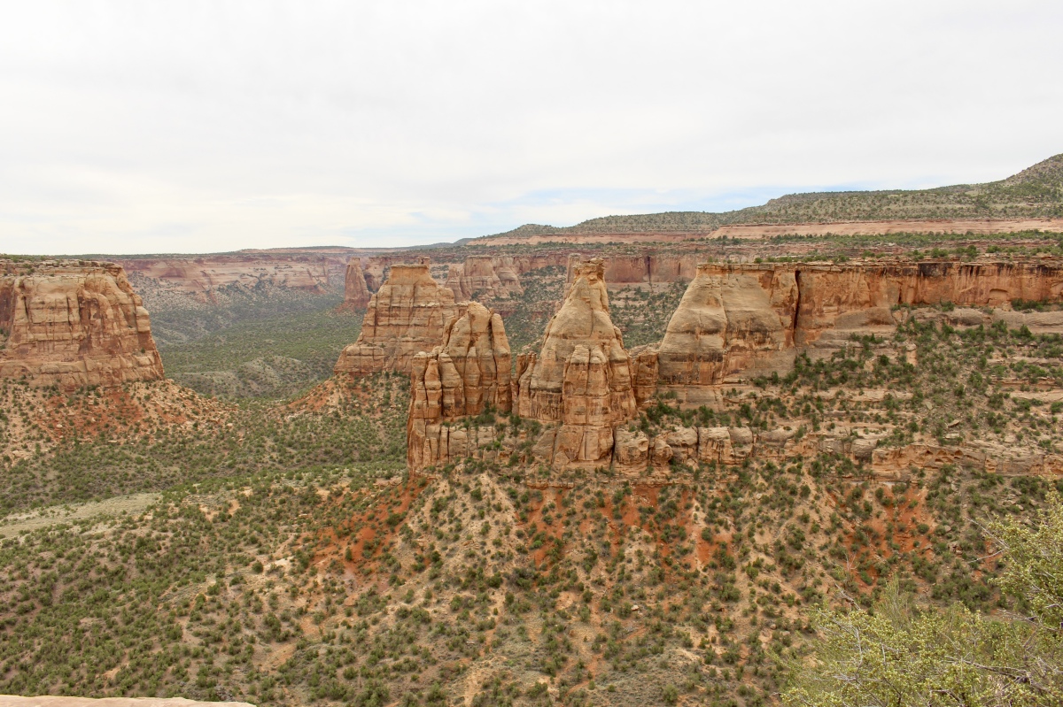
Wedding Canyon

Book Cliffs View
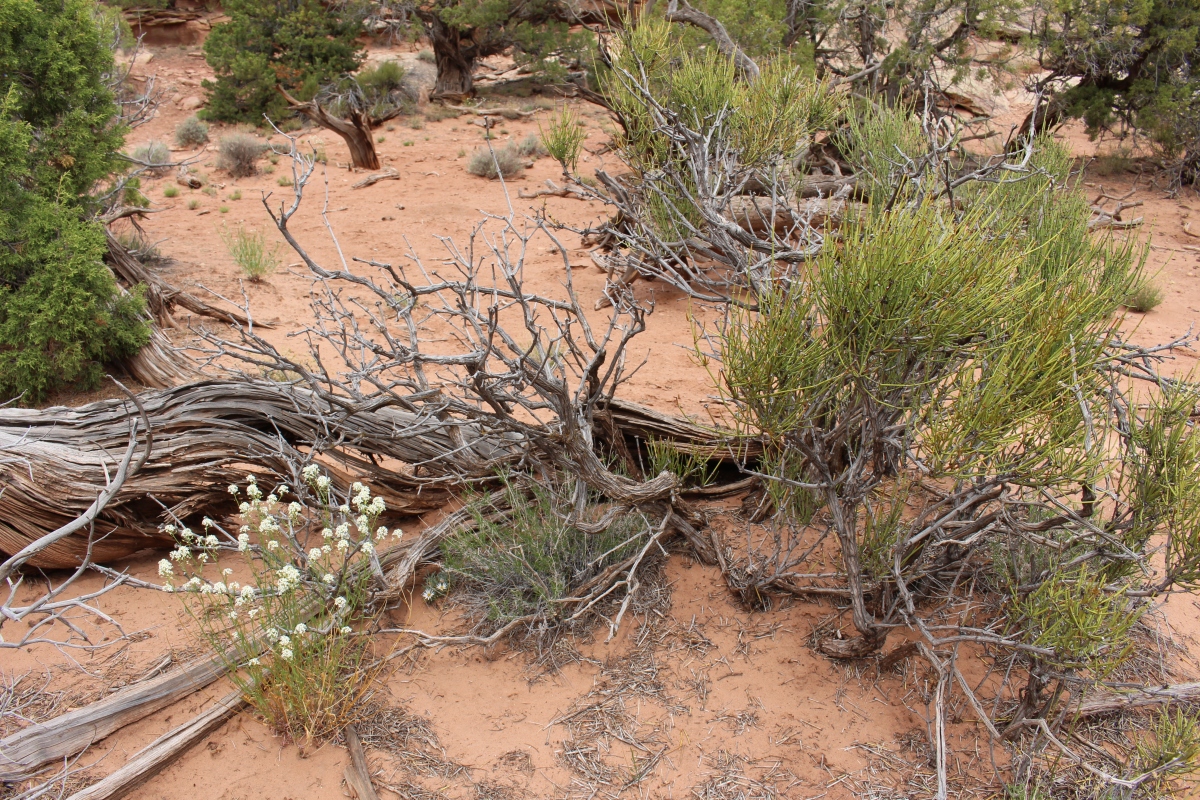
dead Utah junipers and other flora

Wedding Canyon
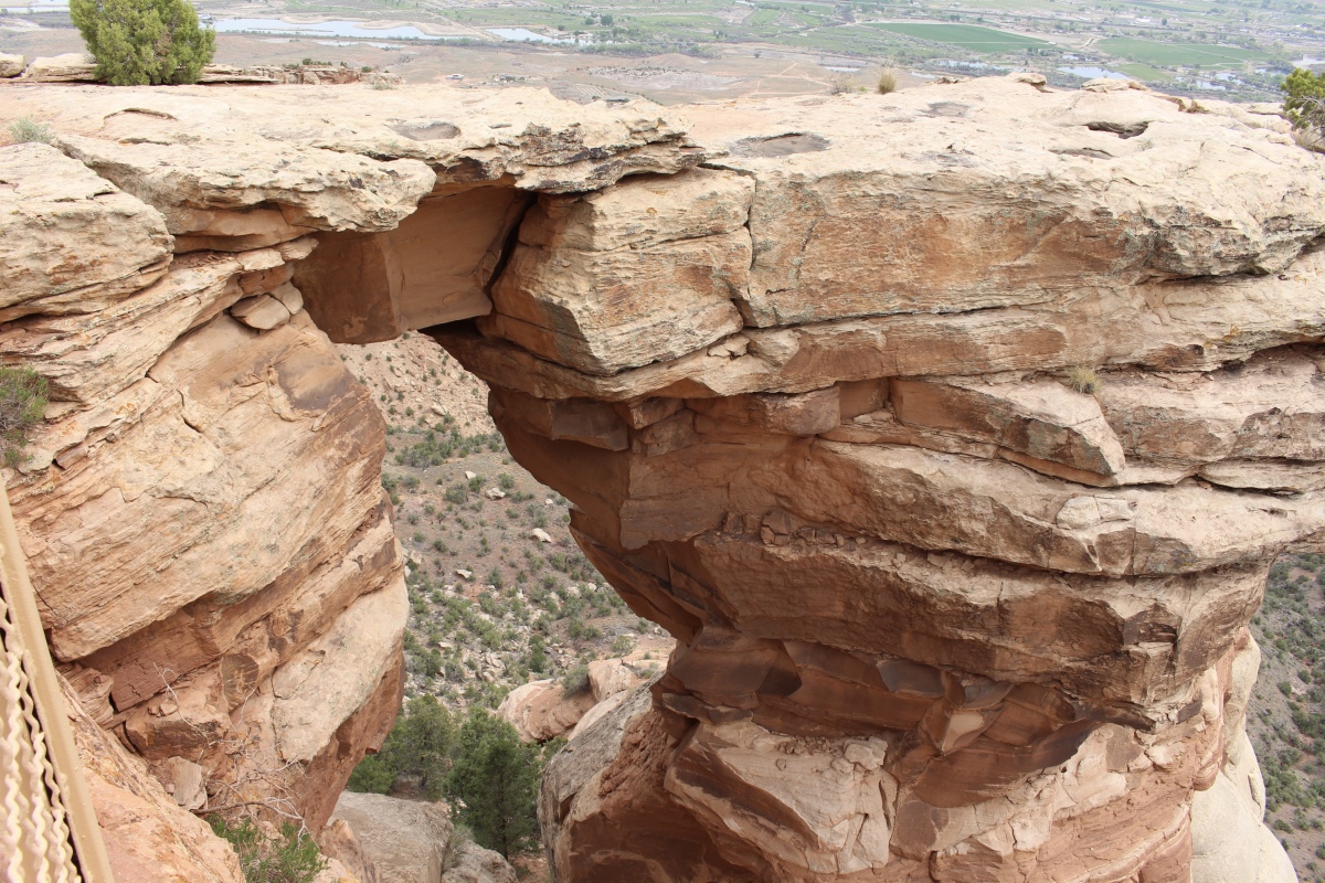
Window Rock is a hole carved out of a crack in a stone wall by thousands of years of relentless erosion.
Window Rock

gnarled junipers on the Canyon Rim Trail
Wedding Canyon
Wedding Canyon
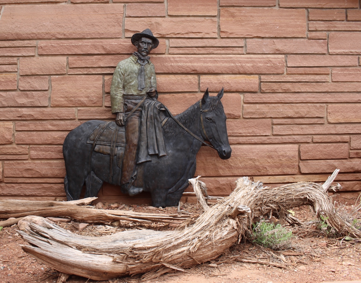
John Otto is known for his endless quest for national recognition for the ancient canyons and monoliths of his adopted home. He organized fundraising campaigns, collected signatures for petitions, and wrote newspaper editorials and endless letters to Washington politicians.
On June 20, 1911, John Otto married Boston artist Beatrice Farnham in Wedding Canyon at the base of Independence Monument. The canyon gets its name from this ill-fated marriage ceremony. According to the National Park Service:
Unfortunately, John and Beatrice’s marriage was short-lived. Beatrice found the reality of John’s life to be far from her romantic ideal. A few weeks after the wedding, she left, never to return.
“I tried hard to live his way, but I could not do it, I could not live with a man to whom even a cabin was an encumbrance.” Beatrice Farnham Otto
John Otto
It was at Colorado National Monument that I first learned of the Passport to Your National Parks. I promptly bought the passport book and my first sticker for the monument. Then I put the stamp in my book. Even though I’d been to this park in 1979, that visit will go unrecorded. Now I’ve become addicted to these stickers & stamps.


Although this particular hike was only 1.84 miles and took 1:01:37 hours, we did a number of hikes in this park totaling 18,913 steps, or 8.01 miles. I’ll write about some of our other hikes in upcoming posts. 🙂
** Monday, May 7, 2018 **
***********************
On Sundays, I plan to post various walks that I took on our Four Corners trip as well as hikes I take locally while training for the Camino de Santiago; I may also post on other unrelated subjects. I will use these posts to participate in Jo’s Monday Walks or any other challenges that catch my fancy.
This post is in response to Jo’s Monday Walk: An Adventure with Gilly.

You must be logged in to post a comment.