We left Arches National Park and drove north on US 191, where clouds trailed overhead into wispy cones that hinted of cyclones. Along the road, slickrock areas promised mountain bike adventures. We sped by Horse Thief Campground and Mineral Bottom Road.
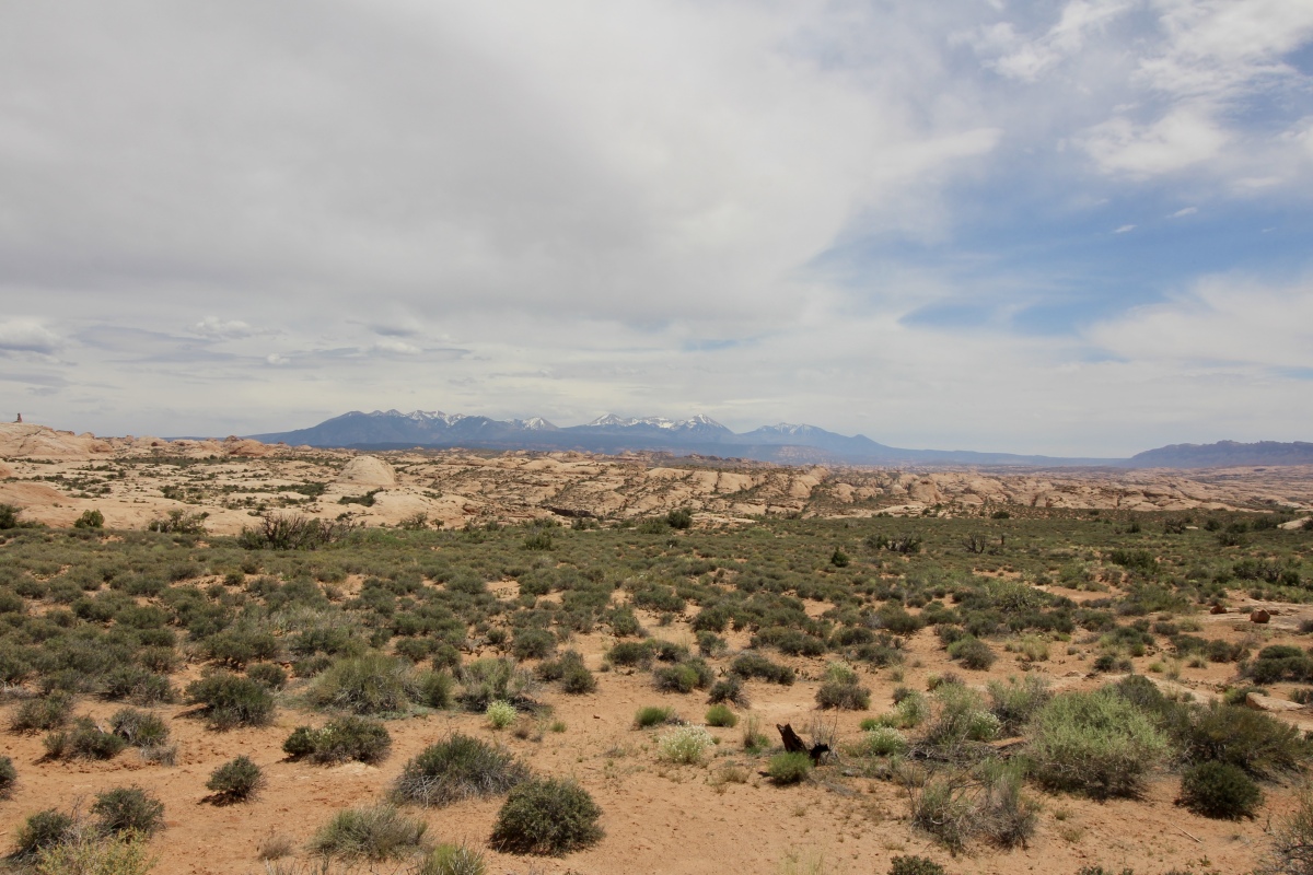
Driving to Dead Horse Point State Park with view of La Sal Mountains
Heading south on SR 313, we crossed open range where calves frolicked and black cows wandered lazily across the road or grazed in the flat grassland. Under one lone tree, two cows huddled for shade. The fragrance of cliffrose danced through the air.

hoodoos and slickrock along the way
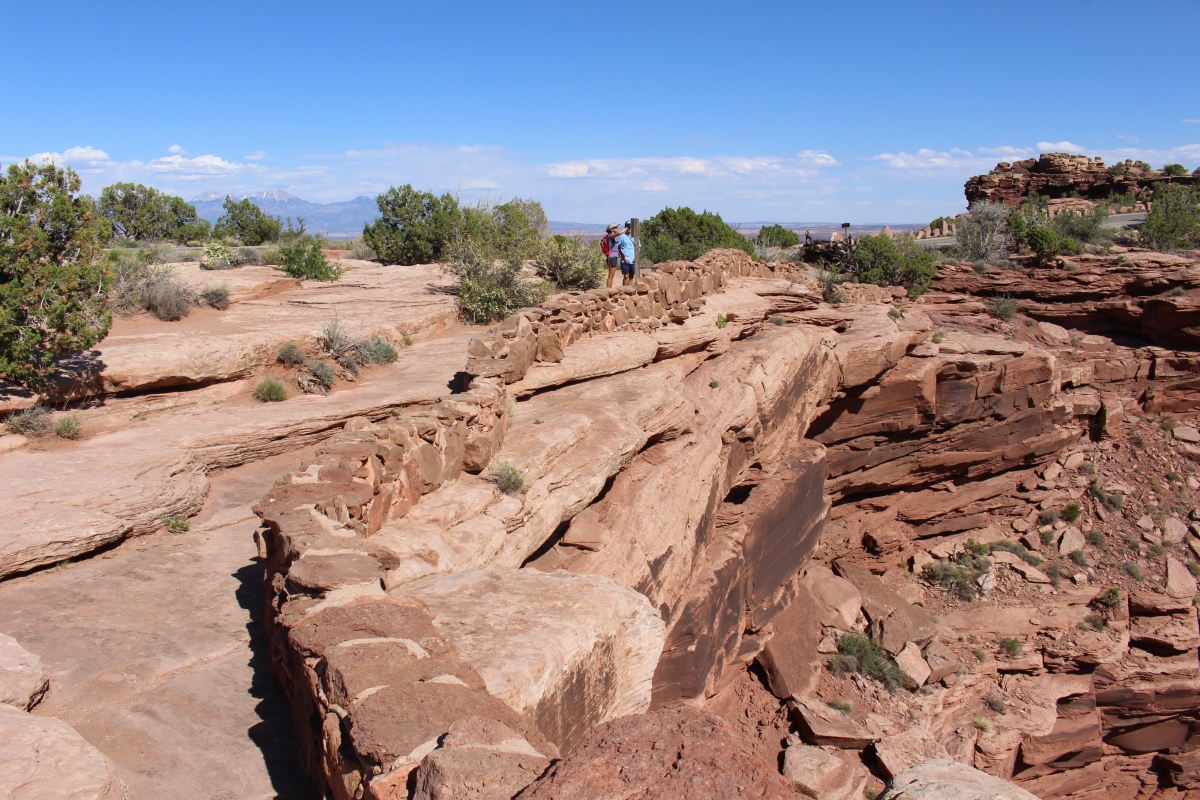
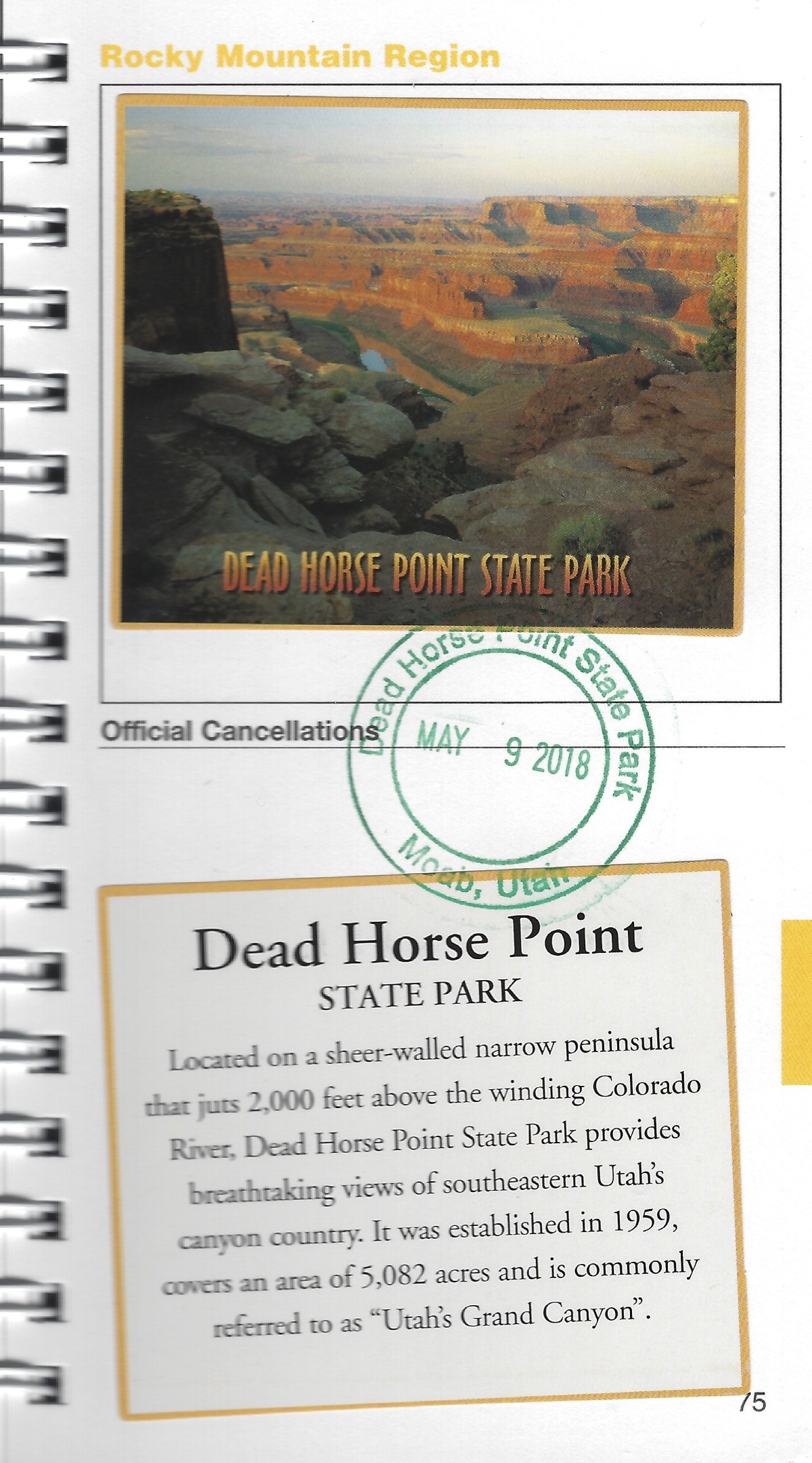
According to one legend, Dead Horse State Park was once used as a corral for wild mustangs roaming the mesa. Cowboys in the 1800s rounded up these horses, and herded them across the narrow neck of land and onto the point. The neck, which is only 30 yards wide, was then fenced off with branches and brush, creating a natural corral surrounded by precipitous cliffs. Cowboys then chose the horses they wanted and, for reasons unknown, left the other horses corralled on the parched point, where they died of thirst within view of the Colorado River, 2,000 feet below. The people who found the remains of the unfortunate horses gave this place its name.
Oh, the cruelty of humans.
Dead Horse Point State Park
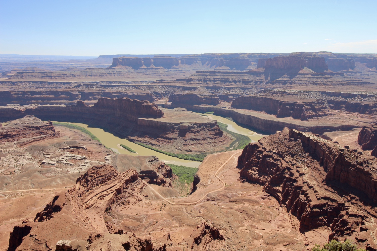
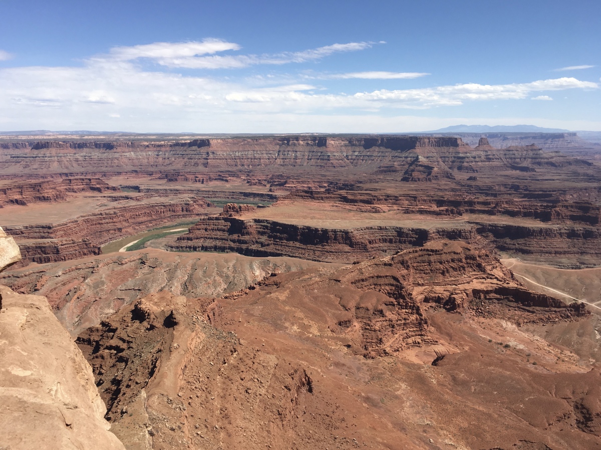
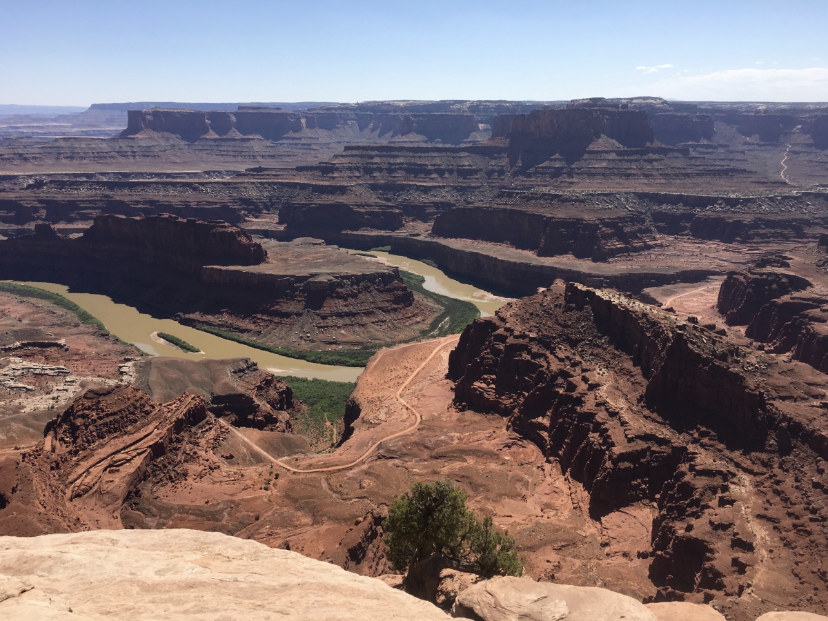
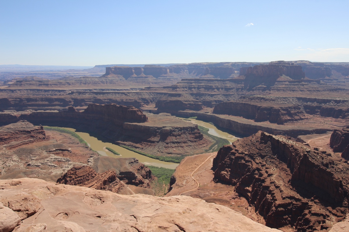
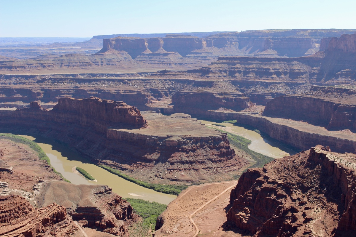
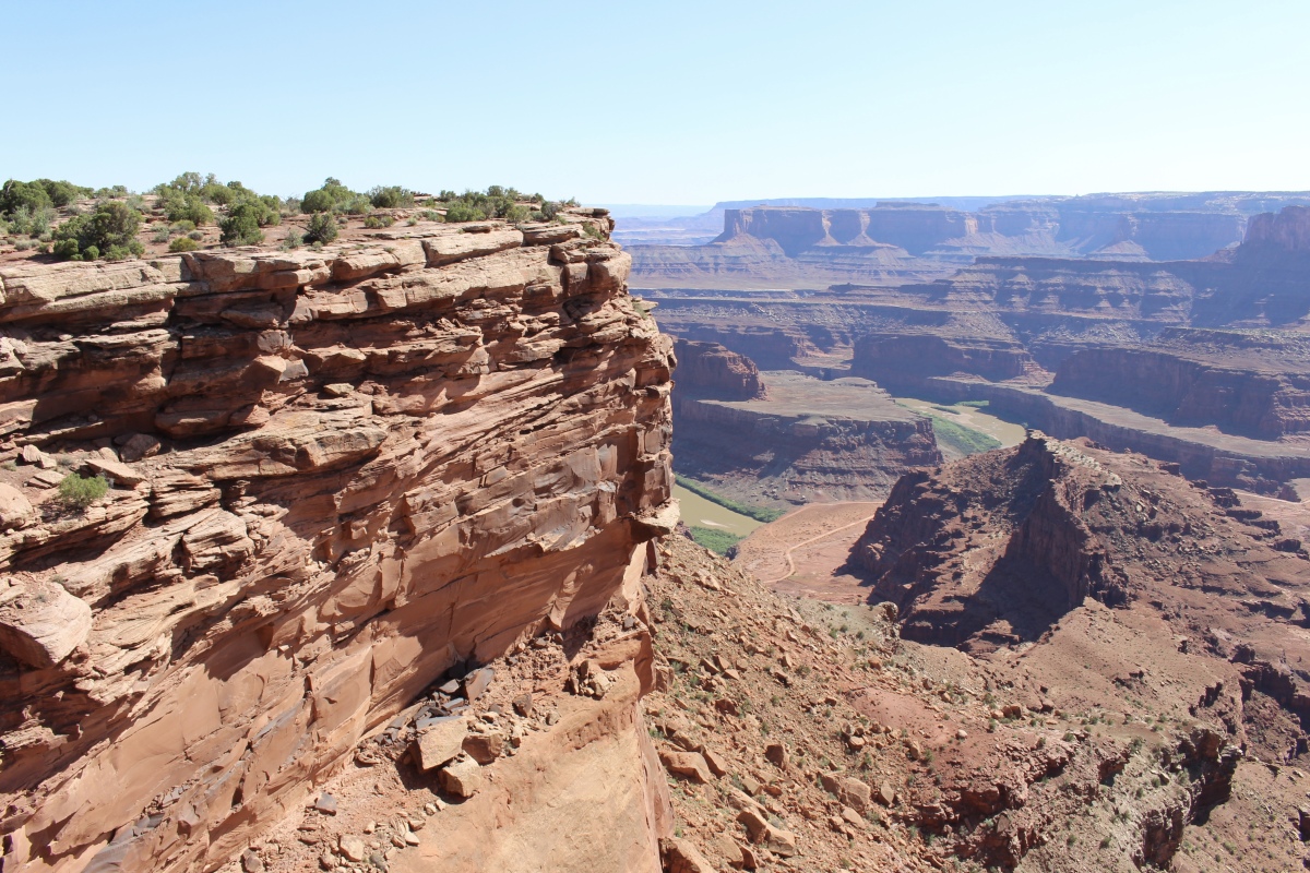
We stopped first at Dead Horse Point Overlook, where we enjoyed grand views of the canyon and the Colorado River from the top of the mesa.
Dead Horse Point State Park
We soaked in the iconic view of the gooseneck in the Colorado River.
Dead Horse Point State Park
Mike stood at the Dead Horse Point Overlook to admire the views.
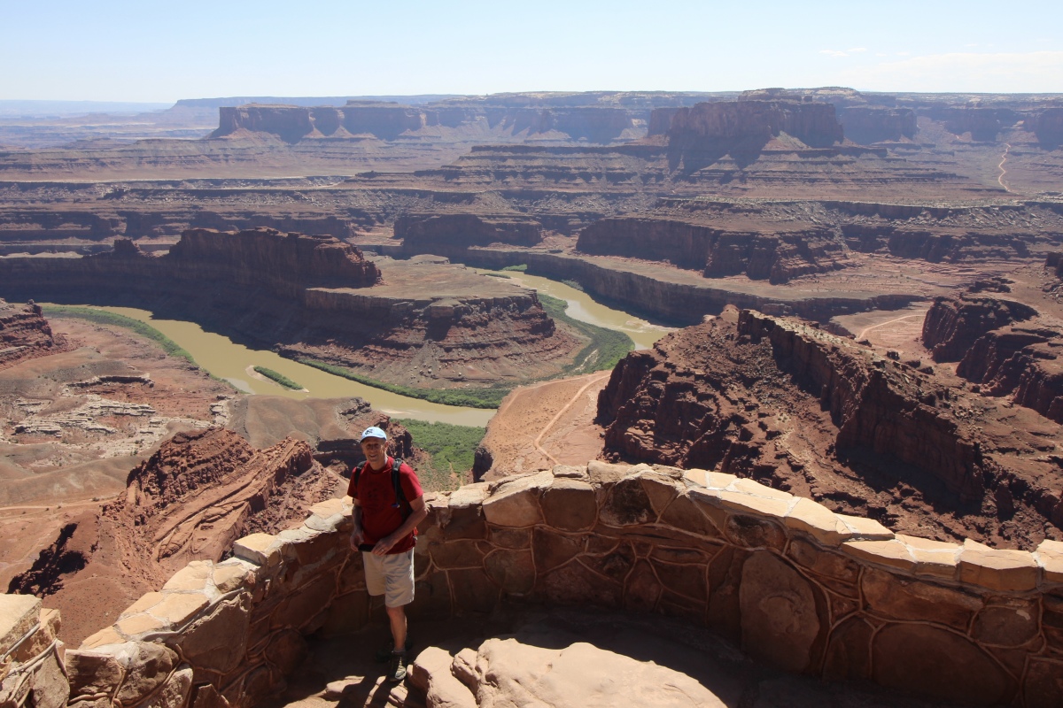
Mike at Dead Horse Point Overlook
Dead Horse Point State Park
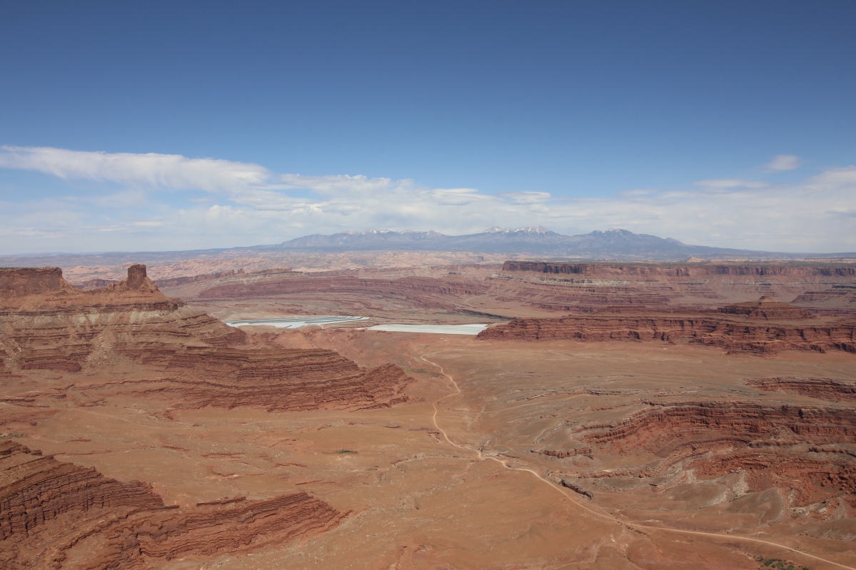
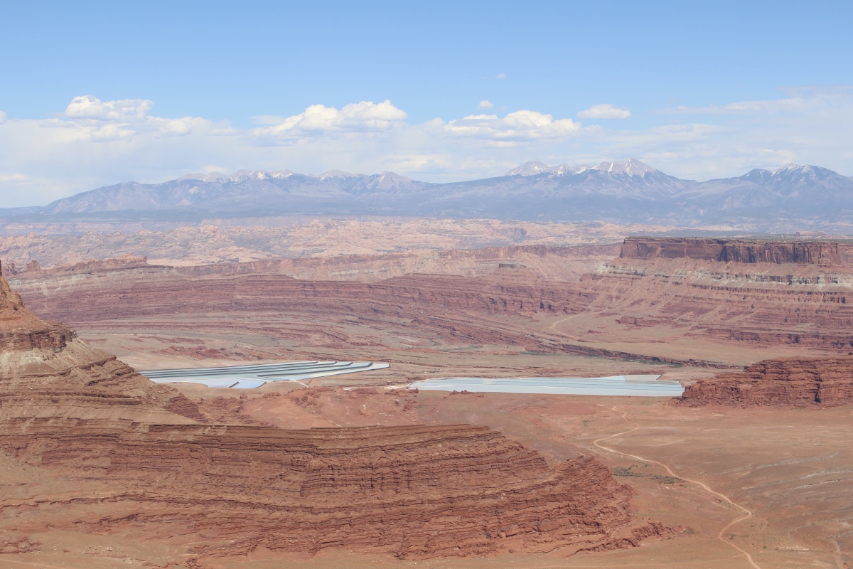
From the East Rim Trail, we saw bright blues on the desert floor; these are solar evaporation ponds for a mine owned by Intrepid Potash, Inc. Potash is potassium chloride, a salt found in the Paradox Formation. Salt deposited from ancient seas made up this formation as it evaporated and was buried by other sediments.
Solar Evaporation Ponds
Water is pumped down into the formation to dissolve the salt. This salt water is then pumped into the shallow, vinyl-lined ponds seen below. A blue dye is added to speed up evaporation. The dry desert air and many sunny days make this a productive operation.
Twenty-ton scrapers, guided by lasers, harvest the dry salt. A local refinery transforms this concentrated form of potassium chloride into plant fertilizer.
solar evaporation ponds
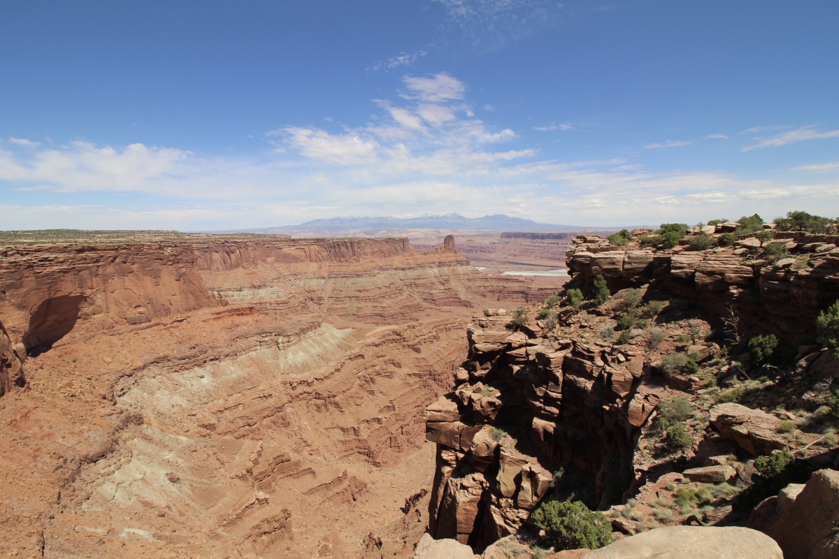
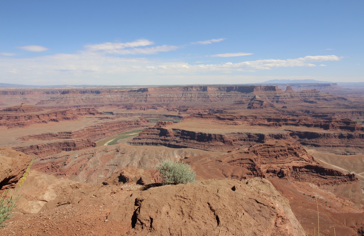
The West Rim Trail offered the best views of the Colorado River, so we walked along the edges of the canyon.

Dead Horse Point State Park
Dead Horse Point State Park
tree at Dead Horse Point State Park

Dead Horse Point State Park
Dead Horse Point State Park
We stopped at the 30-yard-wide neck, where the wild horses were corralled off, according to legend.
the neck at Dead Horse Point State Park
the neck at Dead Horse Point State Park

Dead Horse Point State Park
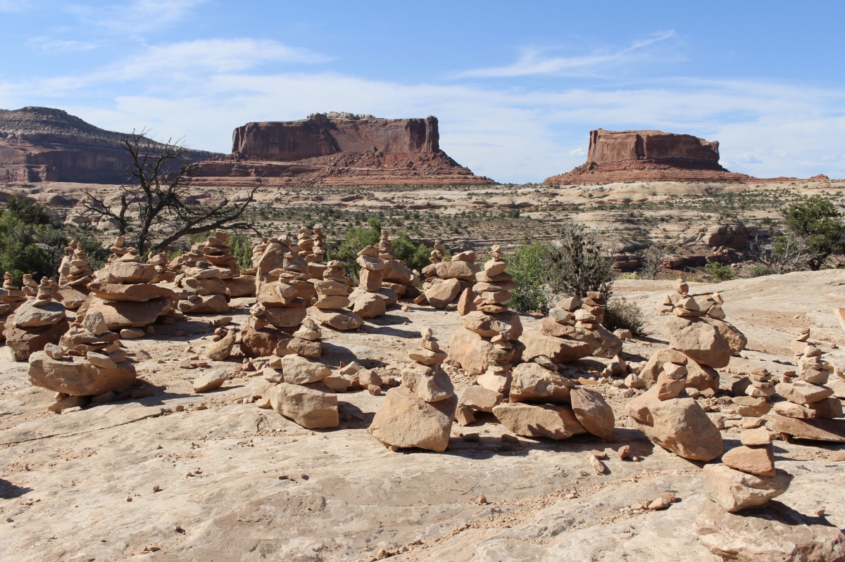
On our way back to Moab, we stopped to admire The Monitor and the Merrimac Buttes. Towering 600 feet above their Navajo Sandstone base, they can be seen from many points along the highway. The Buttes were named after the Civil War ironclad ships of the same names. The shapes of the buttes mimic the actual shapes of those historic ships. The Merrimac, the large rock on the left, was the Confederate ship, called the “Virginia” by the southern forces. The Monitor, on the right, was the Union ship sent to destroy the Merrimac. The resulting sea battle changed maritime warfare forever. Long after both ships lie on the sea bottom, their rock counterparts remain locked in perpetual battle.

Monitor and Merrimac buttes
Minerals contribute to the painterly rock colors of The Colorado Plateau, seen clearly here. Reds and yellows come from iron, the black sheen is formed from manganese (known as “desert varnish”), and purples and greens are caused by clay minerals.
At this viewpoint, visitors have carefully constructed scores of cairns.
cairns at Monitor and Merrimac buttes
Underlying this view area is Navajo sandstone, deposited 200 million years ago and found throughout the Colorado plateau. At that time, the area was a vast desert system, complete with shifting sand dunes, much like today’s Sahara Desert. These sand dunes hardened over centuries. Erosion exposed the “petrified” sand millions of years later, creating the Navajo sandstone formations we see today.
Navajo sandstone often creates dramatic scenery such as cliffs and rounded domes.
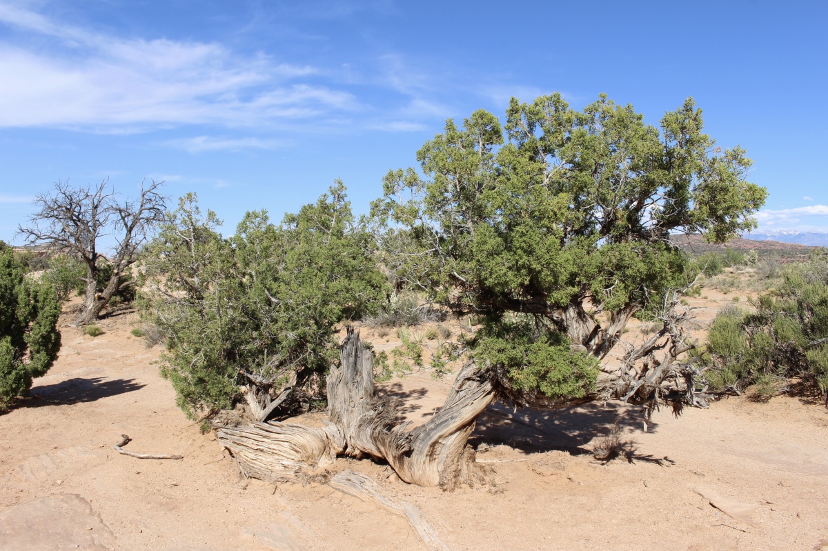
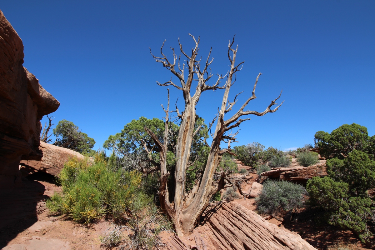
Utah juniper
Although Dead Horse Point State Park is not a National Park, the Visitor Center had a sticker and a cancellation stamp, which I happily added to my National Park passport.
Cancellation stamp
Between our hikes today at Devils Garden in Arches and Dead Horse Point State Park, we walked 21,743 steps, or 9.21 miles.
*Wednesday, May 9, 2018*
***********************
On Sundays, I plan to post various walks that I took on our Four Corners trip as well as hikes I take locally while training for the Camino de Santiago; I may also post on other unrelated subjects. I will use these posts to participate in Jo’s Monday Walks or any other challenges that catch my fancy.
This post is in response to Jo’s Monday Walk: Alte and About.

You must be logged in to post a comment.