
Sunset Crater Volcano National Monument lies south of Wupatki National Monument, just north of Flagstaff, Arizona. Erupting sometime between 1064 and 1100, Sunset Crater is the most recent in a six-million-year history of volcanic activity in the Flagstaff area. It reminds us of violent forces that have shaped the earth, creating 600 hills and mountains in the San Francisco volcanic field. These mountains have affected the climate and habitat of all living things in the region.
With the first eruption, a thin layer of ash absorbed precious moisture and helped prevent evaporation. Climate change provided more rainfall during the growing season, helping agriculture flourish. By 1180, thousands of people were farming on the Wupatki landscape. By 1250, when the volcano had quieted, their pueblos stood empty.
Sunset Crater is a cinder cone, formed during early explosive stages of an eruption. Magma rises up from the underground. As the magma ascends, the pressure drops and gases are released. The high levels of gas in the magma cause an explosion out of the central vent, creating a mound or cone of solidified rock pieces around the vent. Lava flows produced by lower-gas magma may escape from the side or base of the cone.
We stop for a look at the Cinder Hills Overlook, treading carefully among the skunkbrush sumac, the berries of which, when mixed with sugar and water, make a popular “lemonade” for indigenous people.
Here we see a series of cinder-covered vents, marking a fissure along which the most recent volcanic activity occurred.

Cinder Hills Overlook

Cinder Hills Overlook
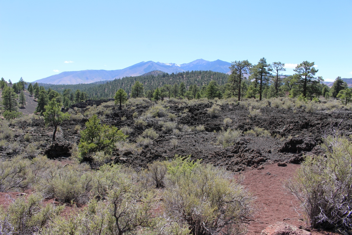
We drive further into the park, where we take a 1.23-mile walk around the Lava Flow Trail to the base of Sunset Crater Volcano.
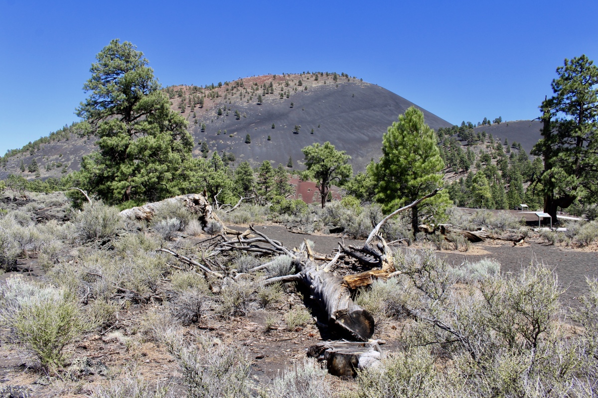
Lava Flow Trail
Lichen, in a myriad of forms and colors, paint the lava flow’s basalt.

lichen on the Lava Flow Trail

Lava Flow Trail

Lava Flow Trail
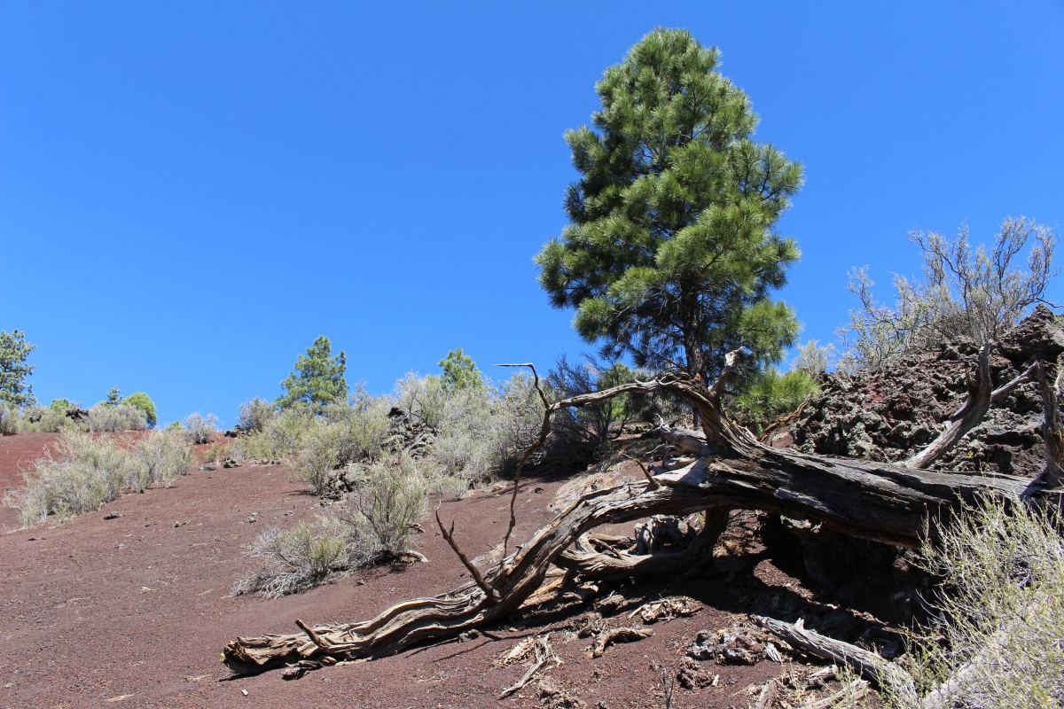
Many of the pines show twisting and spiraling wood under the bark. Spiral growth increases flexibility, helping the tree survive wind and snow damage.


Most of the Ponderosa Pines along the trail don’t look like their majestic counterparts growing in nearby forests. The drier, hotter environment and nutrient-poor soils of this volcanic landscape stunt growth.

Ponderosa pines
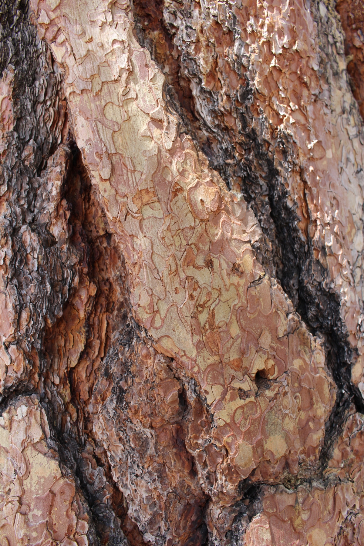
pine bark
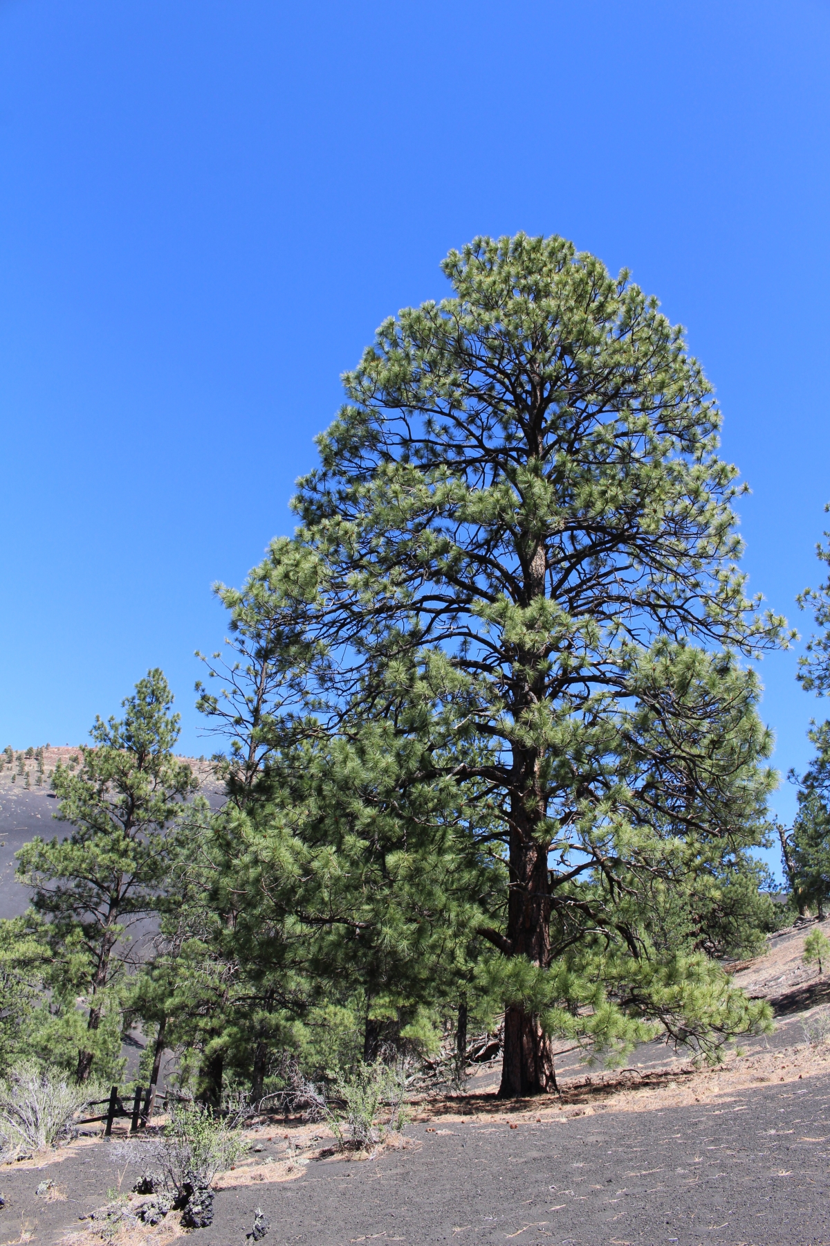
Ponderosa Pines
Cinder cones like Sunset Crater Volcano erode easily and scars are slow to heal. In 1973, Sunset Crater was closed to climbing when 2-foot-wide trails eroded to 60-foot-wide swaths. Tons of cinder were shoveled back up the cone to fill hip-deep trenches. The scars are still visible today. Plants will eventually return to areas where cinders are left undisturbed. Walking in barren areas dislodges soil particles forming between the cinders.
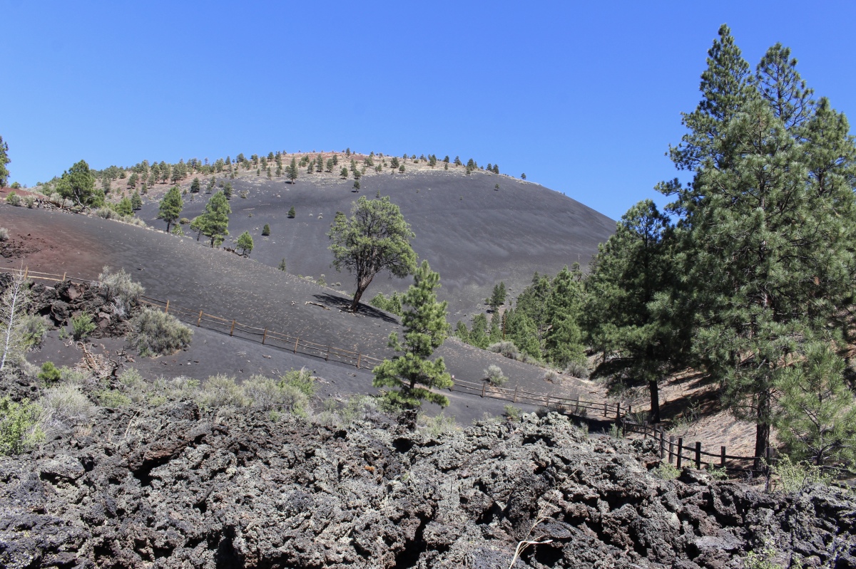
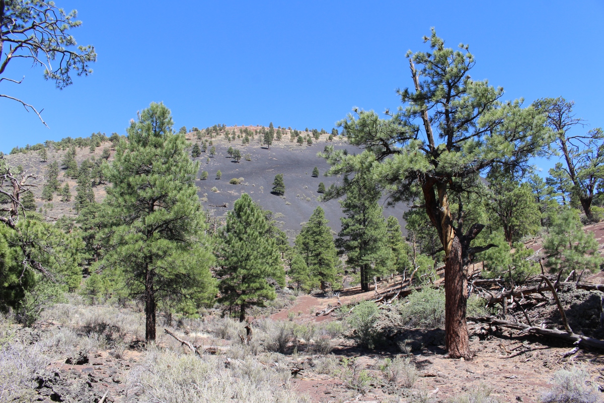
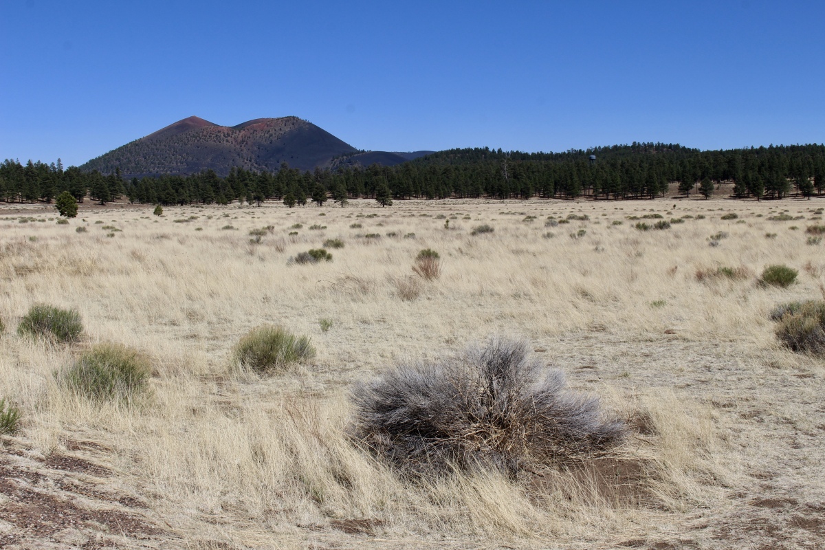
Sunset Crater Volcano

Sunset Crater Volcano
the wasteland
Sunset Crater Volcano
Sunset Crater Volcano
the wasteland
As a living ancestral homeland to the Hopi, Zuni, Yavapai, Havasupai, Hualapai, Navajo, Western Apache, and Southern Paiute, Sunset Crater is revered and cared for. People return often, bringing prayers and engaging in timeless traditions.

the lava field
Hopi people believe their ancestors’ spirits, the Katsinas, travel from the San Francisco Peaks to the Hopi villages and back each year via Sunset Crater and Bonito Park. Some deities reside in the immediate area.
Lava Flow Trail
The Pueblo of Zuni considers Sunset Crater part of a much larger sacred landscape which continues to be important for plant and mineral collection. Pilgrimages have taken place in historic times.
Lava Flow Trail
The Navajo people believe the cinder cones surrounding San Francisco Peaks, including Sunset Crater, are the guardians of the peaks. Within these sacred mountains reside Navajo deities honored with everyday offerings.

Sunset Crater Volcano from the Lava Flow Trail
As we leave the park, we pass through a pretty sparse pine forest.
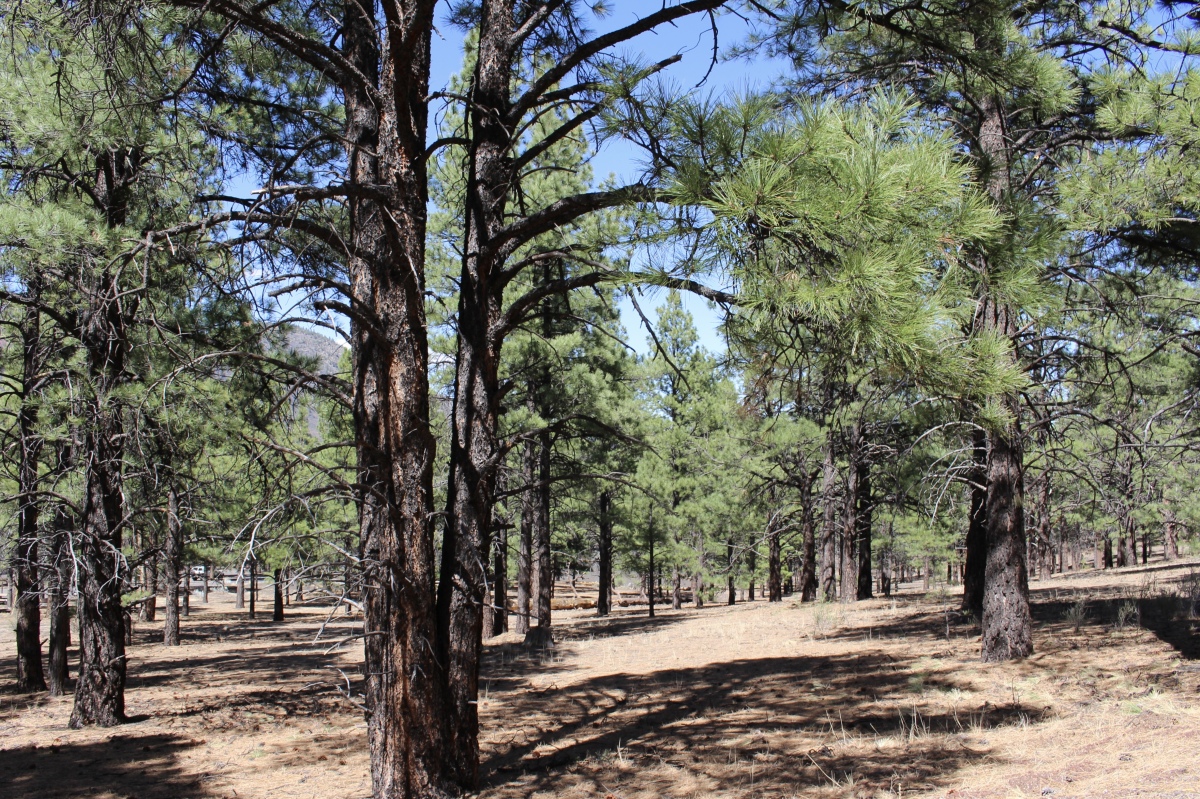
sparse pine forest
“The Peaks” dominate the horizon at the Bonito Park Overlook, rising 12,636 feet to Arizona’s highest point. Visible for miles from all directions, they are revered by Native people.
Spanish friars christened these peaks as San Francisco Mountain in 1629 to honor St. Francis of Assisi. The first wave of Spanish explorers, surprised that such large mountains didn’t spawn lakes or streams, charted them the Sierra Sin Agua — mountains without water. On the other hand, most Native names for the peaks are a reference to a mountain with life-giving moisture.
This immense stratovolcano captures large amounts of rain and snowfall, yet surface water is scarce. Moisture drains down rapidly through fractured bedrock and much is sponged up by porous volcanic rock. The closest river, the Little Colorado, is connected to the peaks by drainages but rarely receives water directly.
The mountain is sculpted into four peaks from left to right: Agassiz, Humphreys, Fremont, and Doyle.
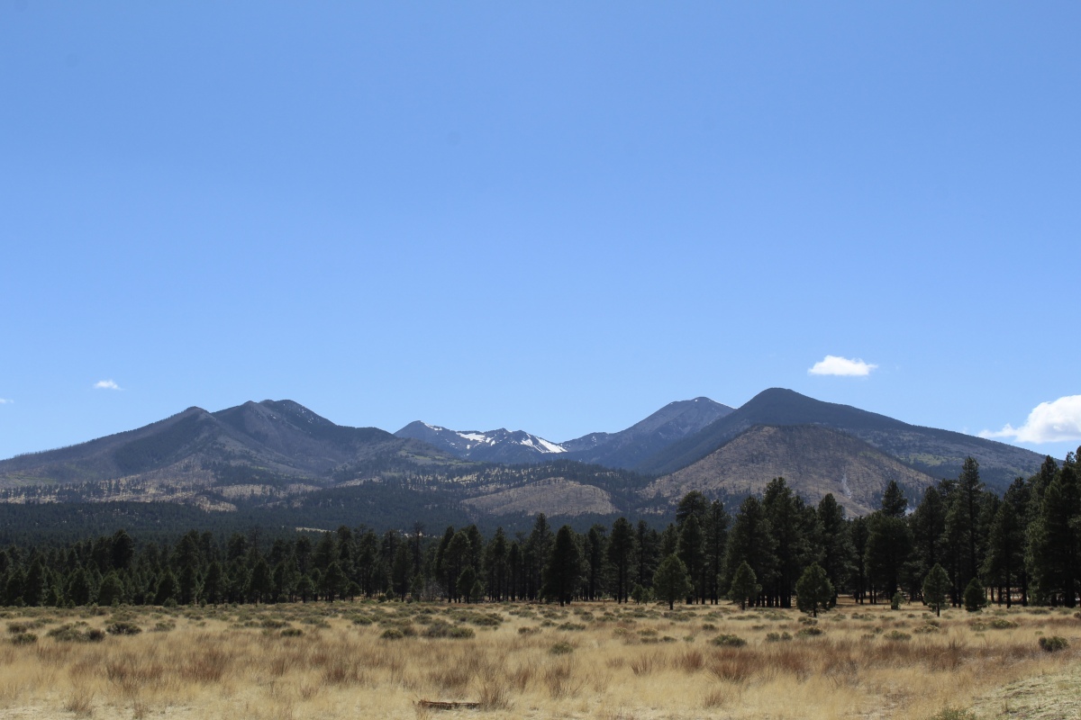
San Francisco Peaks
Bonito Park Overlook
Of course, I had to get my sticker and stamp for my National Parks Passport!
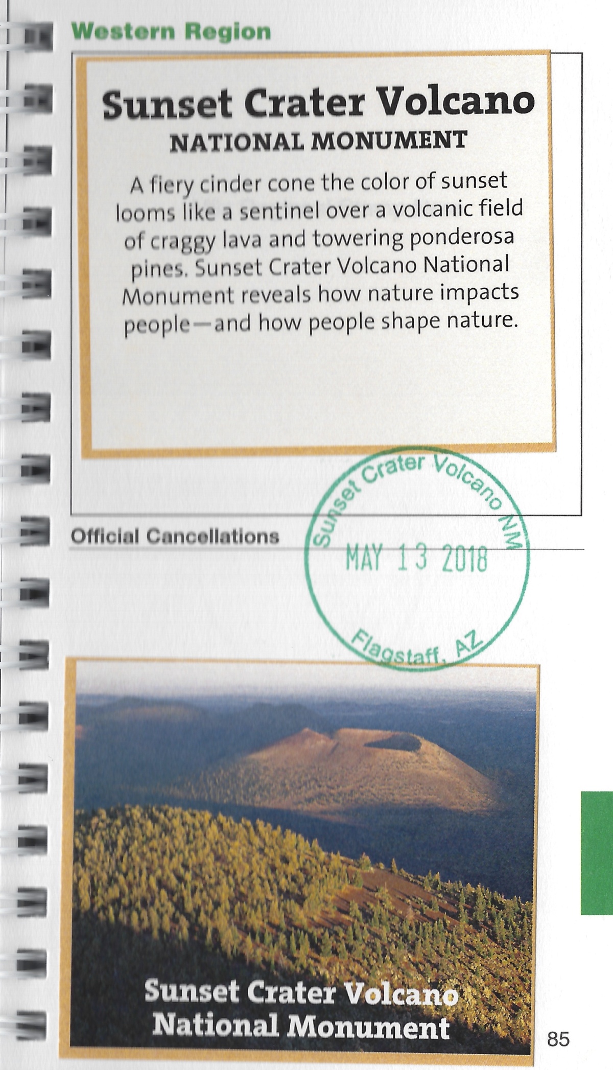
Sunset Crater Volcano National Monument sticker and stamp 🙂
There were several other hikes we could have done here, but the ranger told us if we wanted to walk around the Island Trail at Walnut Canyon National Monument, we had to begin the trail by 4:00. We left Sunset Crater at 2:47 and made a mad rush to get to Walnut Canyon. Mike would be leaving Monday morning to fly back home via Phoenix, so he wanted to squeeze in the last National Monument around Flagstaff before heading home.
*Sunday, May 13, 2018*
***********************
On Sundays, I plan to post various walks that I took on our Four Corners trip as well as hikes I take locally while training for the Camino de Santiago; I may also post on other unrelated subjects. I will use these posts to participate in Jo’s Monday Walks or any other challenges that catch my fancy.
This post is in response to Jo’s Monday Walk.

You must be logged in to post a comment.